Elevation of Ainwadi, Maharashtra, India
Location: India > Maharashtra > Kolhapur >
Longitude: 73.8477874
Latitude: 16.8922183
Elevation: 766m / 2513feet
Barometric Pressure: 92KPa
Elevation Map:
Satellite Map:
Related Photos:

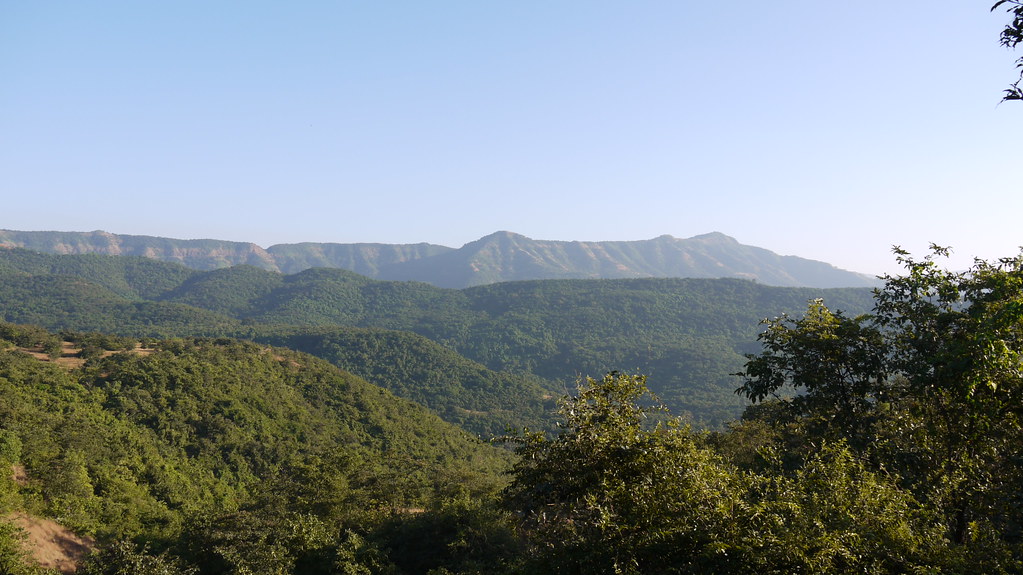
... a view from Amba Sada

... a view from Amba Sada

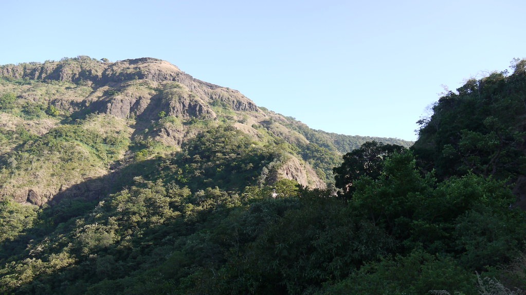
... a view from Kokan Kada point

... a view from Kokan Kada point

... a view from Kokan Kada point

... view from Amba Sada

... viewing Sakharpa town (at far end)

... viewing Kasari Reservoir

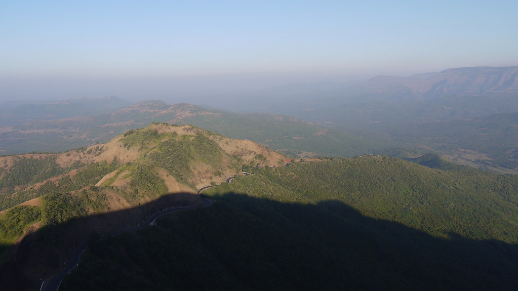
... Amba Ghat viewed from Sada

... Amba Ghat viewed from Sada

... viewed from Amba Ghat

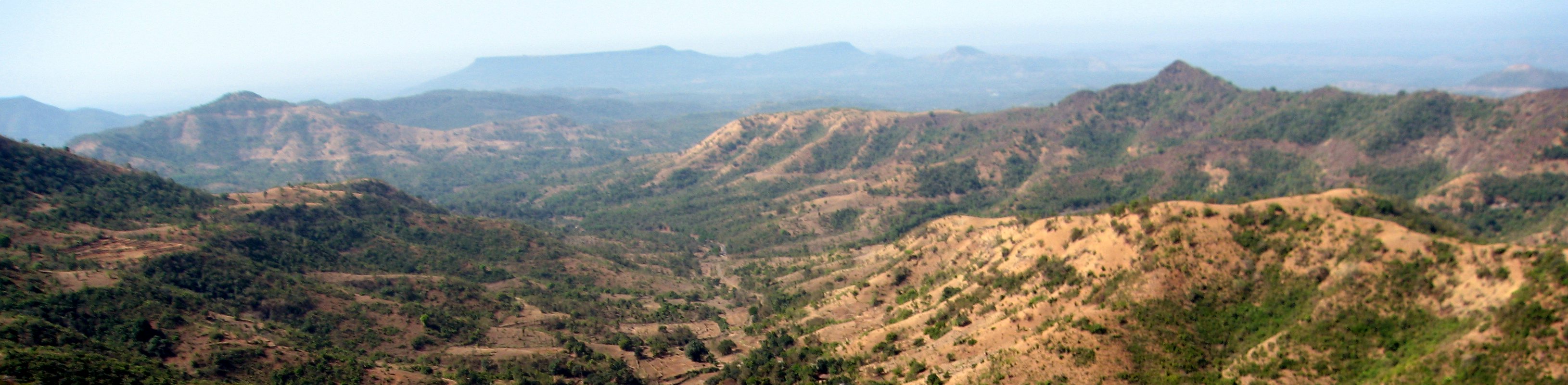
... a view from Amba Ghat

... a view from Amba Ghat
... a view from Amba Ghat

... a view from Amba Ghat

... a view from Amba Ghat
... a view from Amba Ghat

... a view from Amba Ghat

... a view from Amba Ghat
... view from Amba Sada

... view from Amba Sada

... the Pawan Khind

Along India's National Highway 204

Along India's National Highway 204

... the Pawan Khind

Along India's National Highway 204
Along India's National Highway 204

... Amba Ghat on NH 204
Topographic Map of Ainwadi, Maharashtra, India
Find elevation by address:

Places near Ainwadi, Maharashtra, India:
Pandharepani
Kasarde
Kode
Post Office Varul
Parale
Warul
Shelarwadi
Yelur
Patilwadi
Sutarwadi
Shahuwadi
Perid
Kadave
Altur
Arul
Paraleninai
Dhanagarwada
Sambu
Yadavwadi
Ameni
Recent Searches:
- Elevation of Corso Fratelli Cairoli, 35, Macerata MC, Italy
- Elevation of Tallevast Rd, Sarasota, FL, USA
- Elevation of 4th St E, Sonoma, CA, USA
- Elevation of Black Hollow Rd, Pennsdale, PA, USA
- Elevation of Oakland Ave, Williamsport, PA, USA
- Elevation of Pedrógão Grande, Portugal
- Elevation of Klee Dr, Martinsburg, WV, USA
- Elevation of Via Roma, Pieranica CR, Italy
- Elevation of Tavkvetili Mountain, Georgia
- Elevation of Hartfords Bluff Cir, Mt Pleasant, SC, USA