Elevation of Yadavwadi, Maharashtra, India
Location: India > Maharashtra > Kolhapur >
Longitude: 73.9756567
Latitude: 16.9182244
Elevation: 565m / 1854feet
Barometric Pressure: 95KPa
Elevation Map:
Satellite Map:
Related Photos:

Along India's National Highway 204

Along India's National Highway 204

Along India's National Highway 204
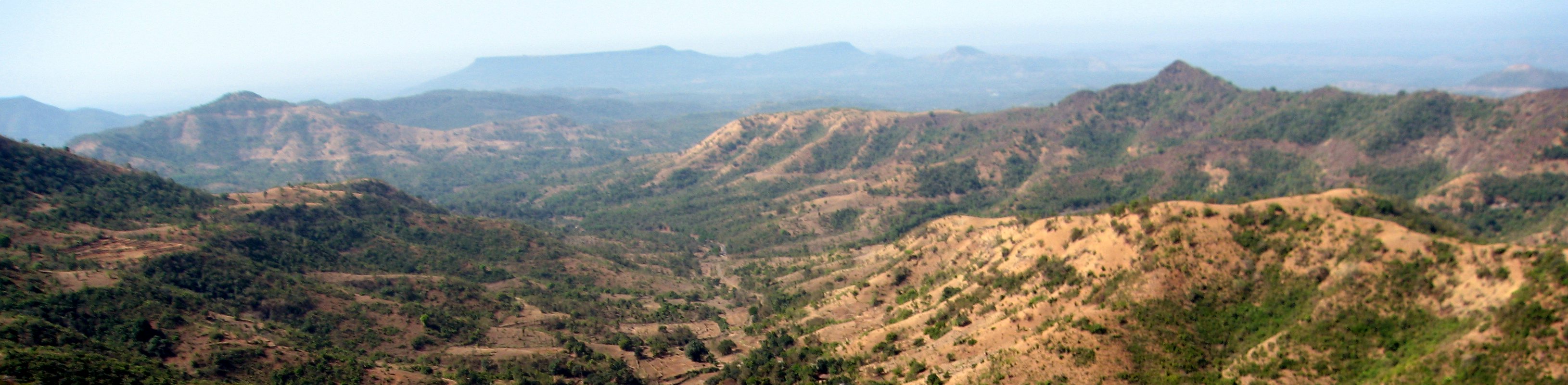
Along India's National Highway 204

The religious feelings

Natural Perls
Topographic Map of Yadavwadi, Maharashtra, India
Find elevation by address:

Places near Yadavwadi, Maharashtra, India:
Sambu
Shahuwadi
Perid
Ameni
Arul
Shivare
Bajagewadi
Gogave
Shimpe
Yelur
Patane
Kadave
Vadgaon
Shelarwadi
Sutarwadi
Patilwadi
Parale
Nerle
Kode
Dhanagarwada
Recent Searches:
- Elevation of Corso Fratelli Cairoli, 35, Macerata MC, Italy
- Elevation of Tallevast Rd, Sarasota, FL, USA
- Elevation of 4th St E, Sonoma, CA, USA
- Elevation of Black Hollow Rd, Pennsdale, PA, USA
- Elevation of Oakland Ave, Williamsport, PA, USA
- Elevation of Pedrógão Grande, Portugal
- Elevation of Klee Dr, Martinsburg, WV, USA
- Elevation of Via Roma, Pieranica CR, Italy
- Elevation of Tavkvetili Mountain, Georgia
- Elevation of Hartfords Bluff Cir, Mt Pleasant, SC, USA