Elevation of Ahtanum Rd, Yakima, WA, USA
Location: United States > Washington > Yakima County > Yakima >
Longitude: -120.862109
Latitude: 46.535354
Elevation: 654m / 2146feet
Barometric Pressure: 0KPa
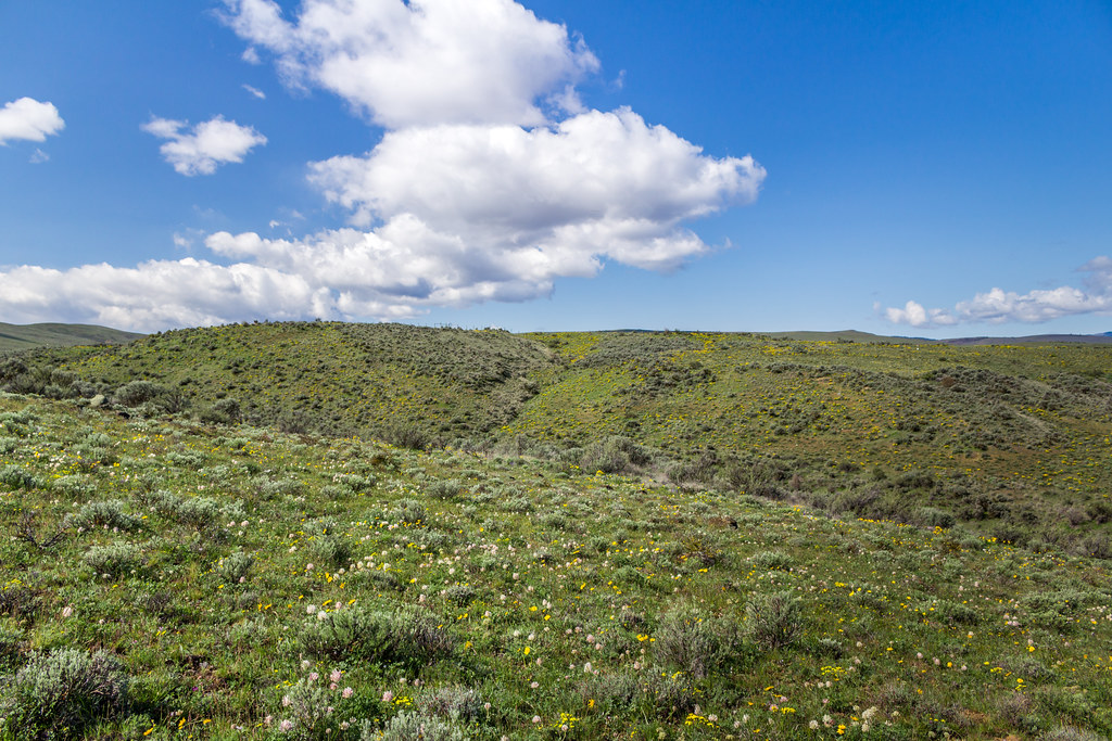
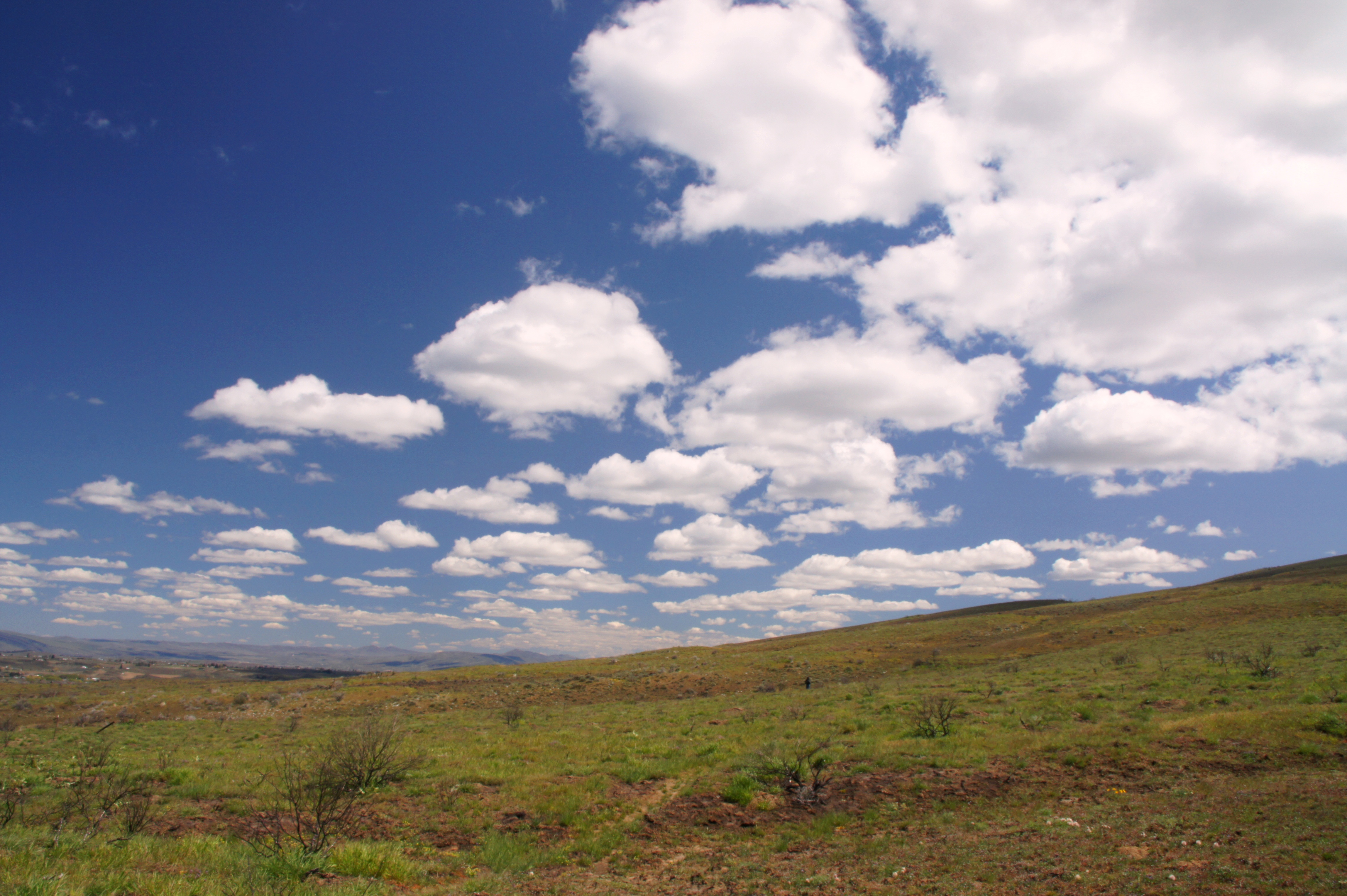
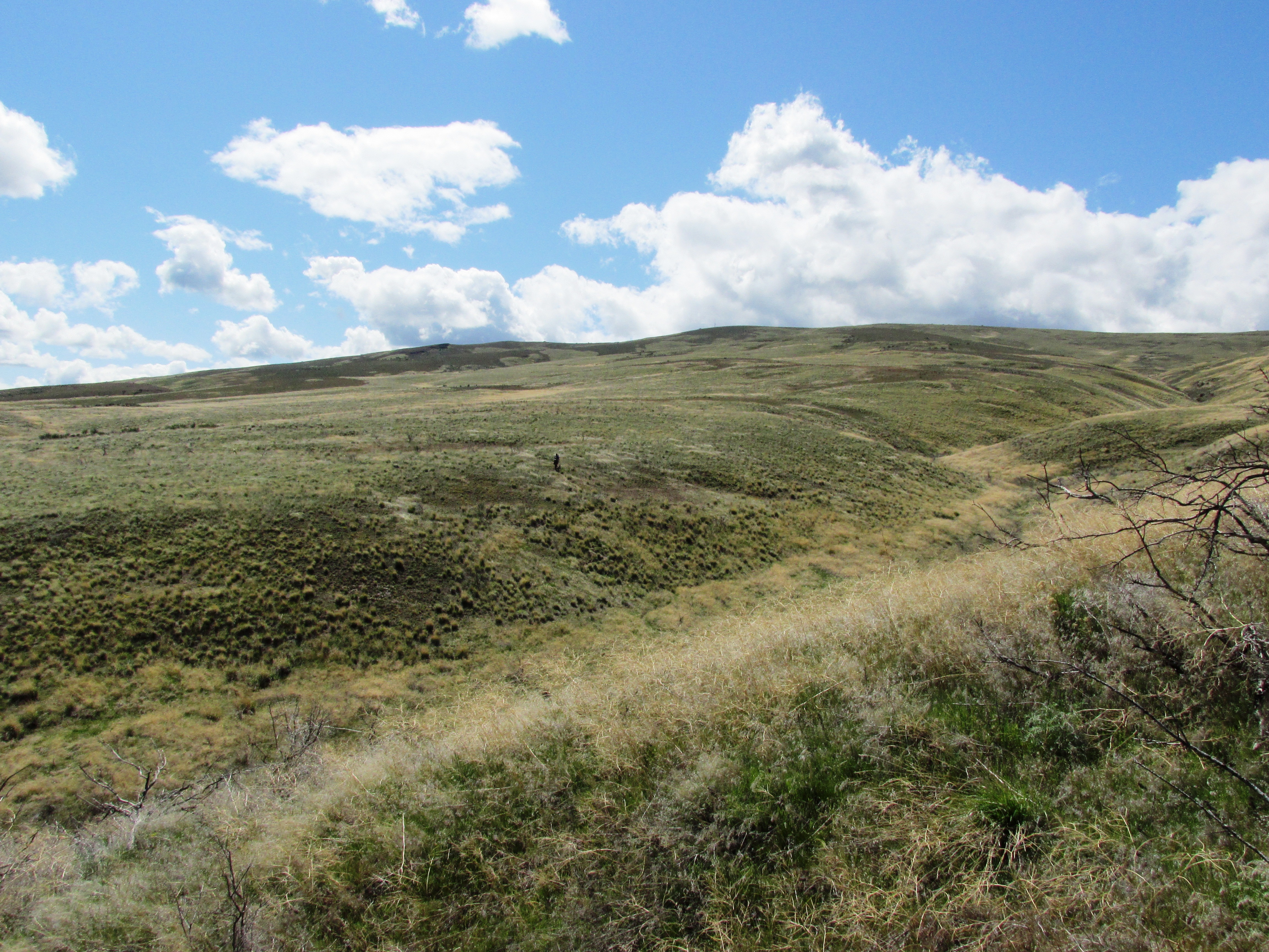
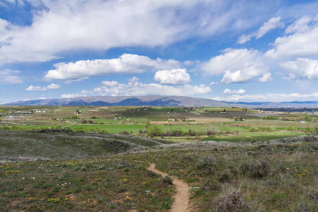
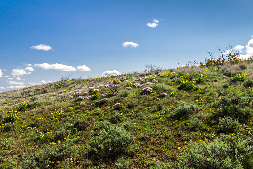
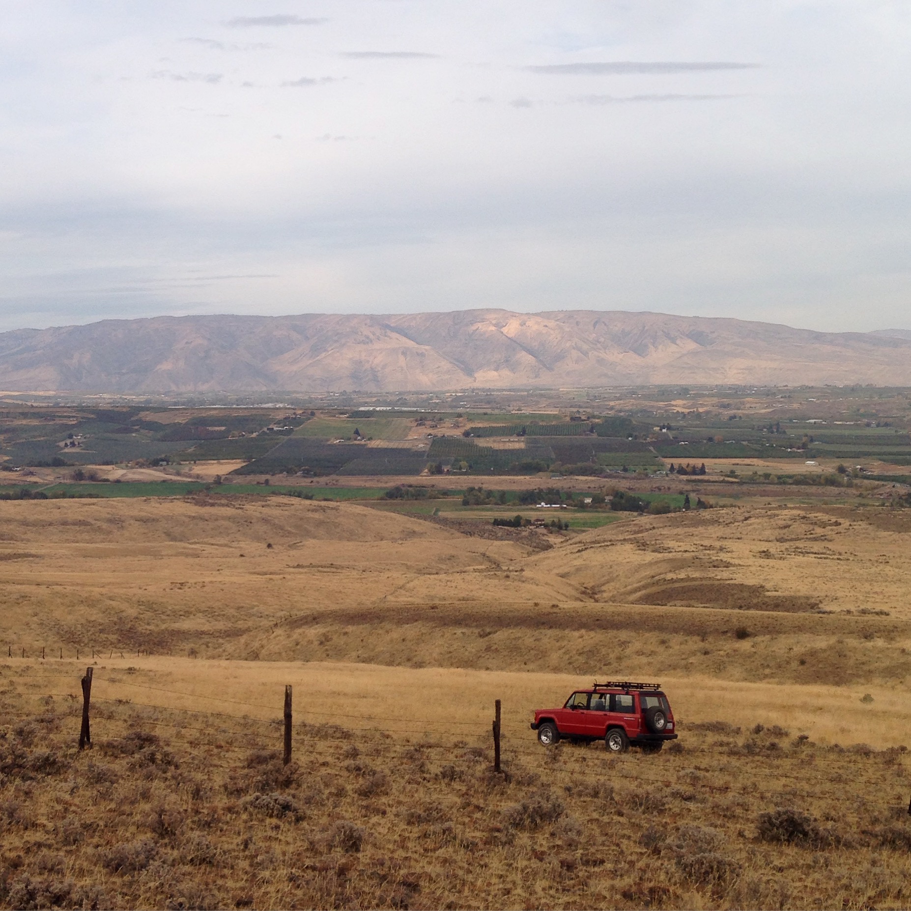
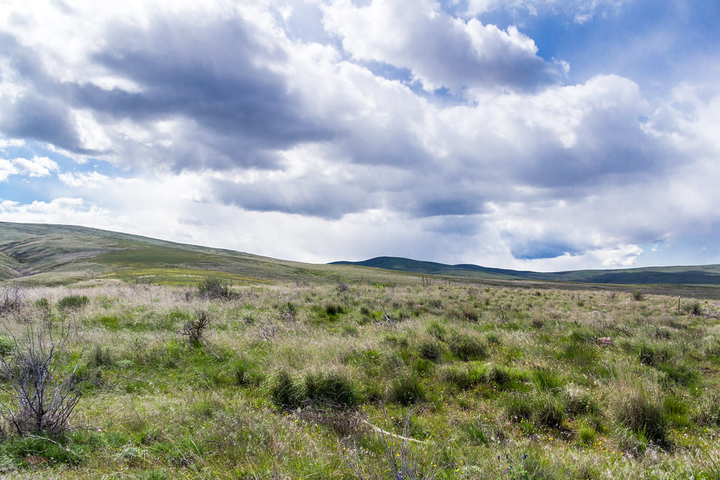
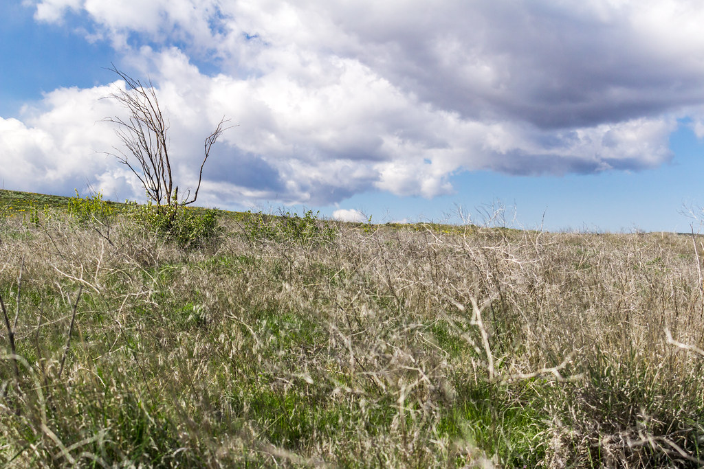
Related Photos:
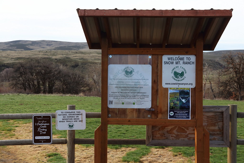
Welcome to Snow Mt Ranch
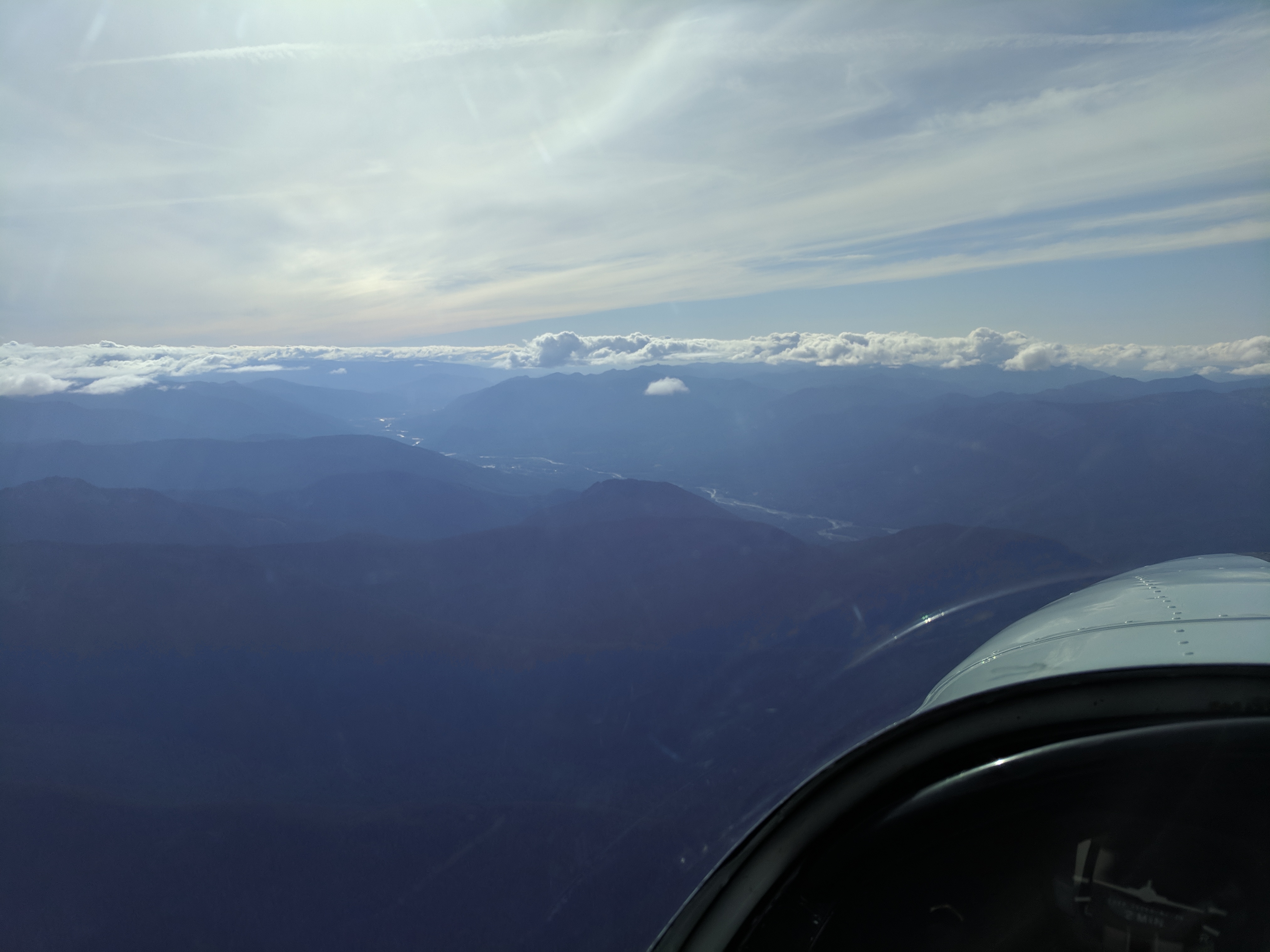
Packwood Valley

Grasshopper Sparrow singing 2018-06-18 ©Kevin S Lucas
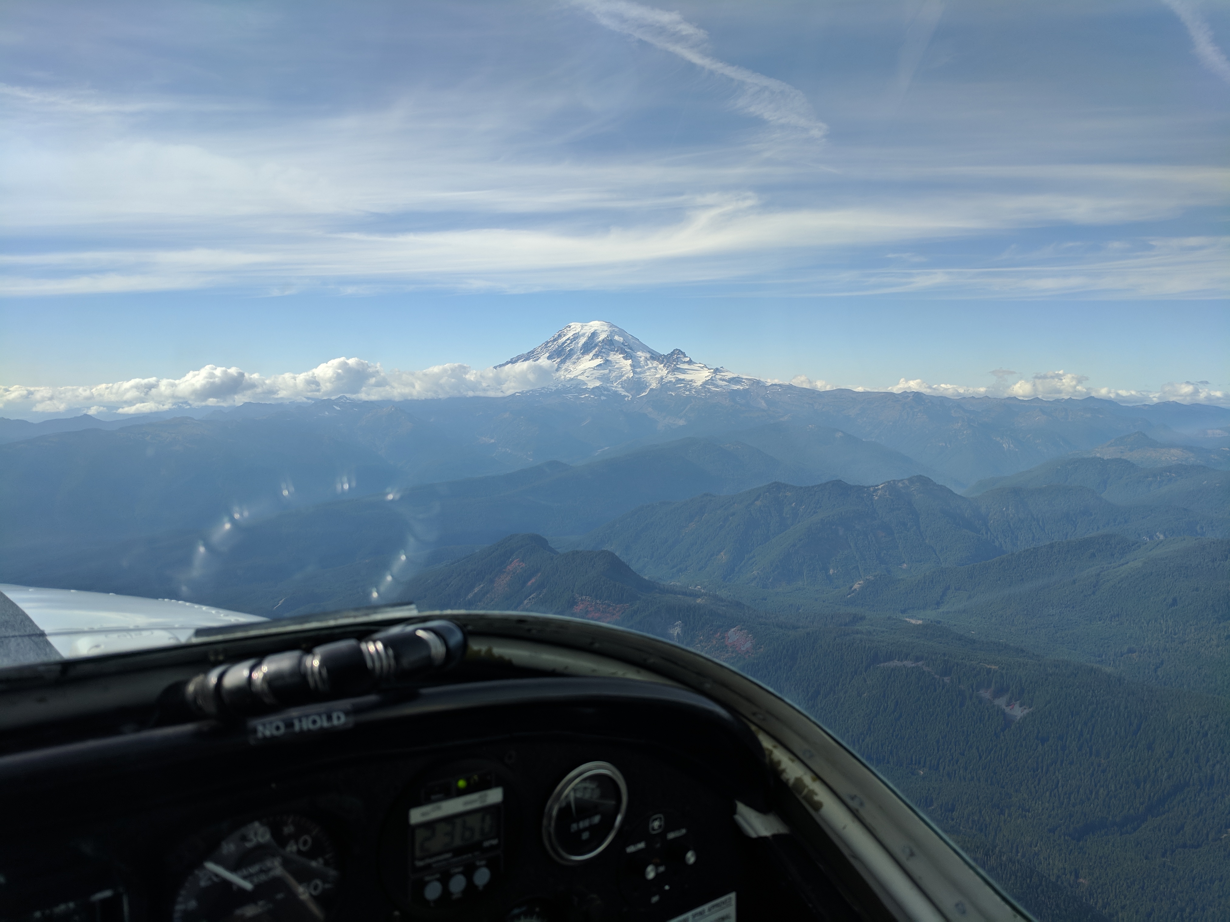
Mount Rainier

Mount Rainier
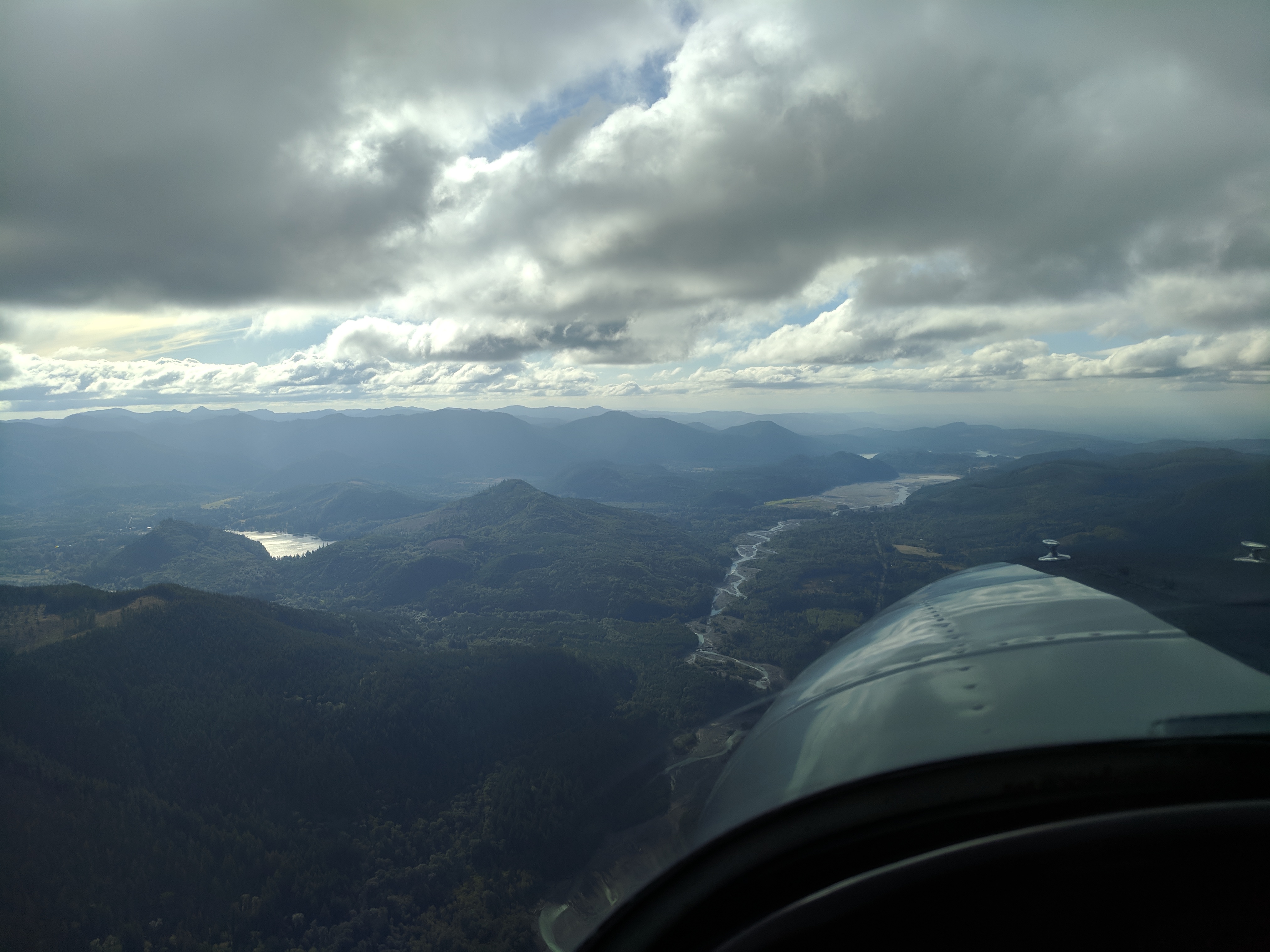
Western Cascade Slopes
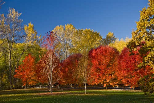
Autumn Splendour
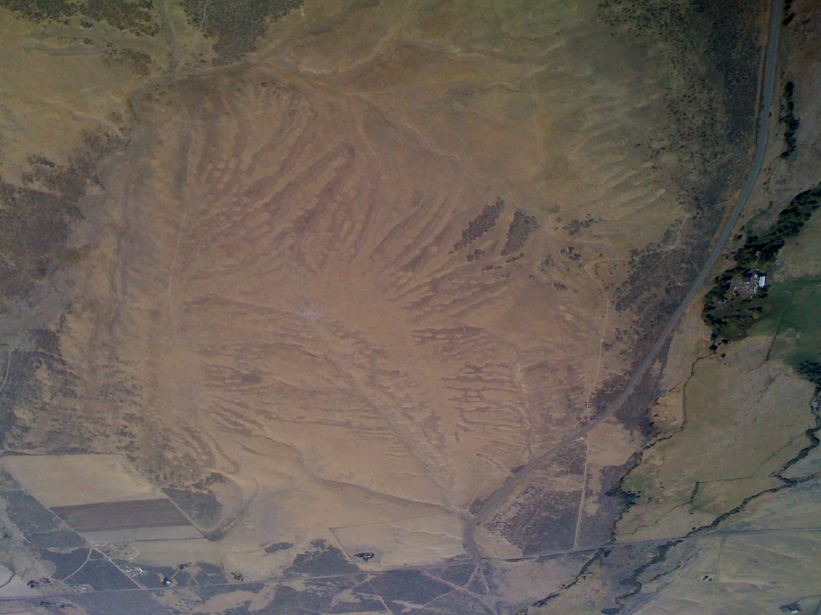
US Northwest
IMG_5868.jpg
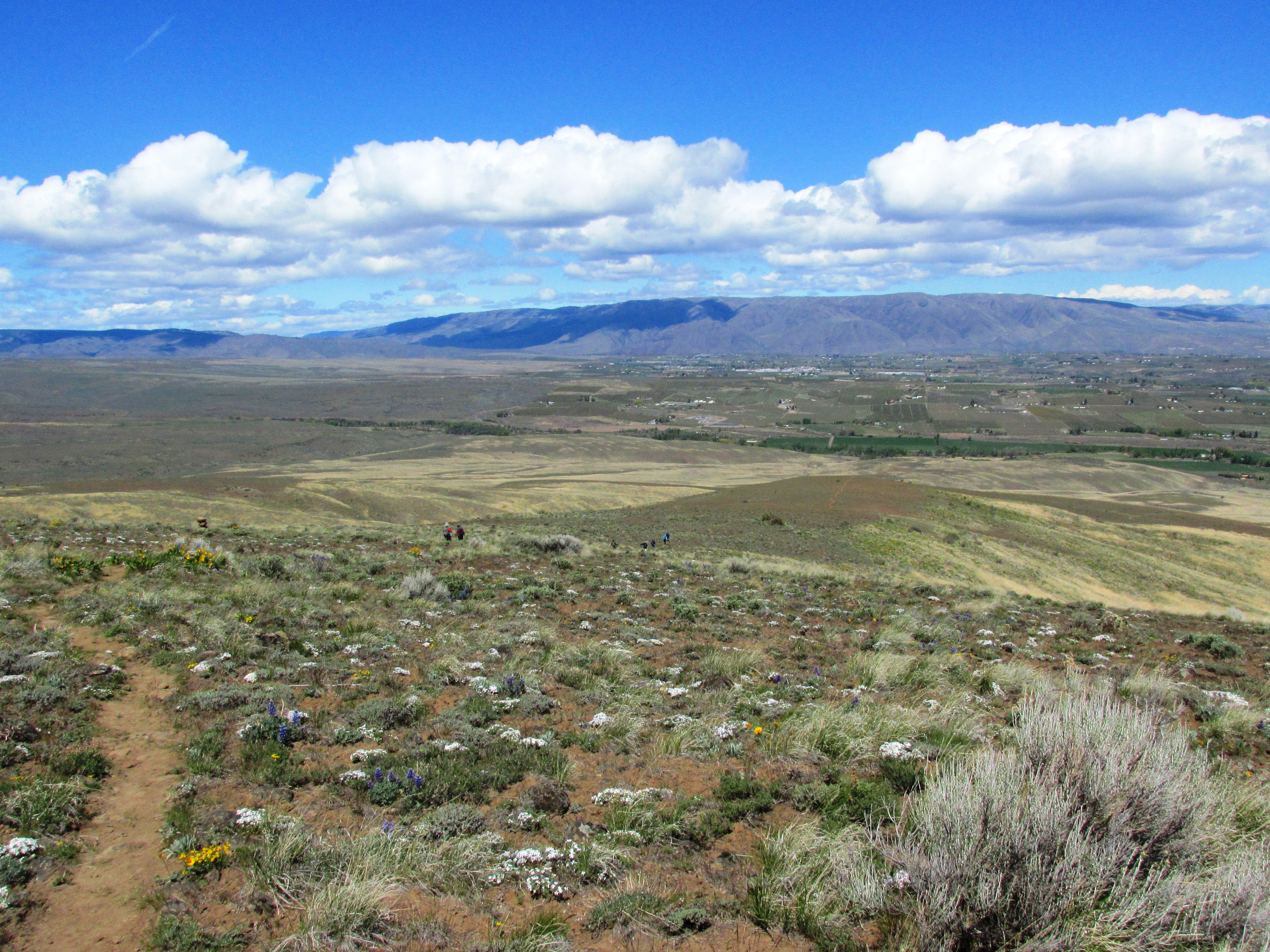
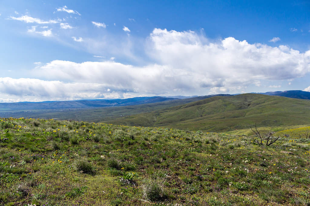
View ascending Cowiche Mountain
Red Willow Winery
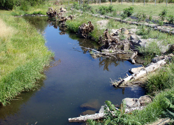
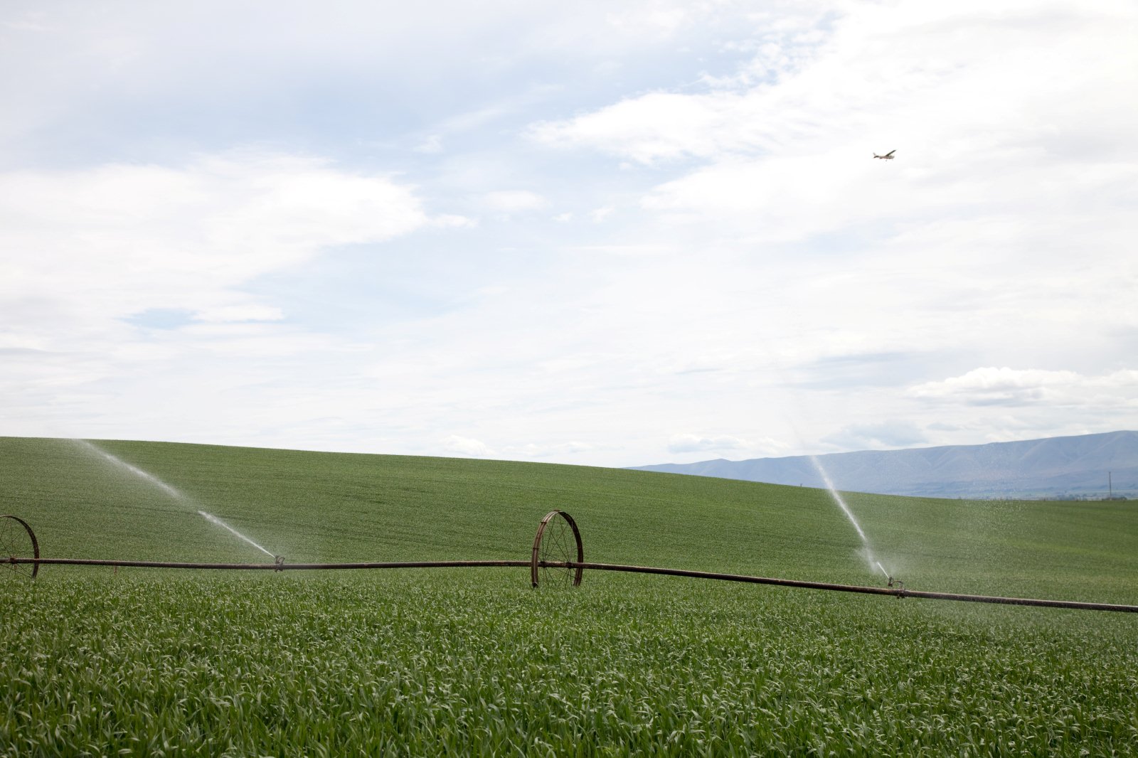
Habitat Restoration
IMG_5747.jpg
IMG_5692.jpg
IMG_5593.jpg
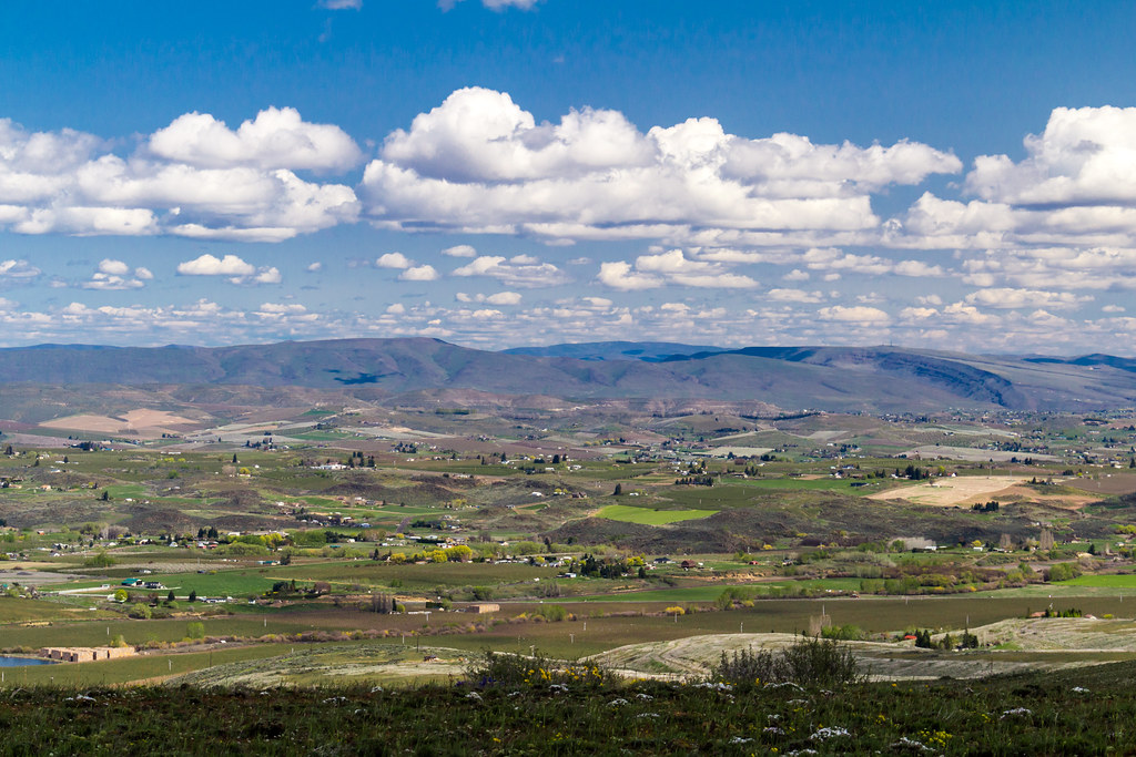
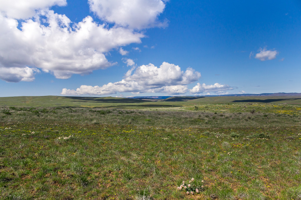
Cowiche Mountain near Yakima
Looking to Cowiche Mountain
IMG_5982.jpg
IMG_5565.jpg
Cowiche Mtn Trooper
IMG_5973.jpg
IMG_5668.jpg
Topographic Map of Ahtanum Rd, Yakima, WA, USA
Find elevation by address:

Places near Ahtanum Rd, Yakima, WA, USA:
Pine Mountain Drive
871 W Slavin Rd
410 W Slavin Rd
Yakima County
Yakima
2 Carson Rd
530 Willowlawn Rd
14541 Fisk Rd
Branch Rd, Harrah, WA, USA
19630 Summitview Rd
Tieton
Cowiche
1206 Dazet Rd
9330 Naches Heights Rd
9330 Naches Heights Rd
9330 Naches Heights Rd
9330 Naches Heights Rd
9330 Naches Heights Rd
9330 Naches Heights Rd
9330 Naches Heights Rd
Recent Searches:
- Elevation of 116, Beartown Road, Underhill, Chittenden County, Vermont, 05489, USA
- Elevation of Window Rock, Colfax County, New Mexico, 87714, USA
- Elevation of 4807, Rosecroft Street, Kempsville Gardens, Virginia Beach, Virginia, 23464, USA
- Elevation map of Matawinie, Quebec, Canada
- Elevation of Sainte-Émélie-de-l'Énergie, Matawinie, Quebec, Canada
- Elevation of Rue du Pont, Sainte-Émélie-de-l'Énergie, Matawinie, Quebec, J0K2K0, Canada
- Elevation of 8, Rue de Bécancour, Blainville, Thérèse-De Blainville, Quebec, J7B1N2, Canada
- Elevation of Wilmot Court North, 163, University Avenue West, Northdale, Waterloo, Region of Waterloo, Ontario, N2L6B6, Canada
- Elevation map of Panamá Province, Panama
- Elevation of Balboa, Panamá Province, Panama
- Elevation of San Miguel, Balboa, Panamá Province, Panama
- Elevation of Isla Gibraleón, San Miguel, Balboa, Panamá Province, Panama
- Elevation of 4655, Krischke Road, Schulenburg, Fayette County, Texas, 78956, USA
- Elevation of Carnegie Avenue, Downtown Cleveland, Cleveland, Cuyahoga County, Ohio, 44115, USA
- Elevation of Walhonding, Coshocton County, Ohio, USA
- Elevation of Clifton Down, Clifton, Bristol, City of Bristol, England, BS8 3HU, United Kingdom
- Elevation map of Auvergne-Rhône-Alpes, France
- Elevation map of Upper Savoy, Auvergne-Rhône-Alpes, France
- Elevation of Chamonix-Mont-Blanc, Upper Savoy, Auvergne-Rhône-Alpes, France
- Elevation of 908, Northwood Drive, Bridge Field, Chesapeake, Virginia, 23322, USA