Elevation of Adobe Ranch, NM, USA
Location: United States > New Mexico > Socorro County >
Longitude: -106.30558
Latitude: 33.8621258
Elevation: 1804m / 5919feet
Barometric Pressure: 81KPa
Elevation Map:
Satellite Map:
Related Photos:

Aphonopelma sp.
A R D U O U S
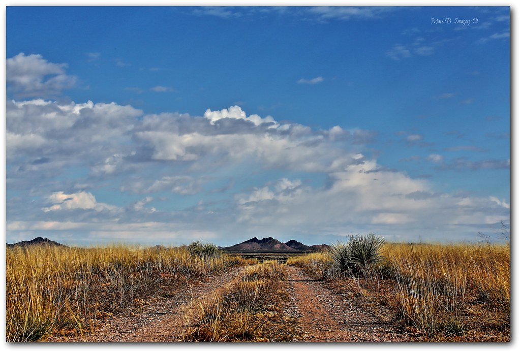
the road
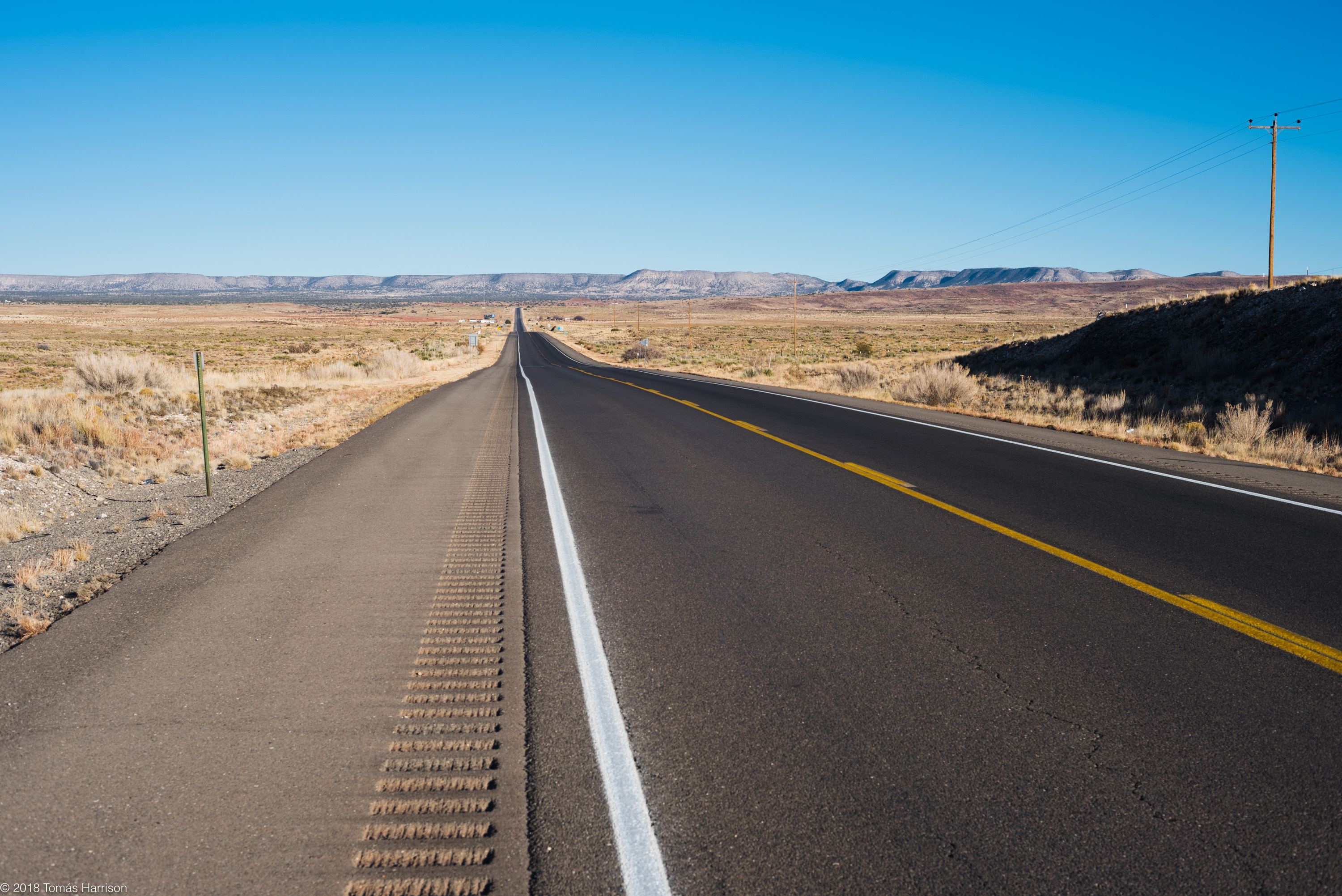
Roadside view
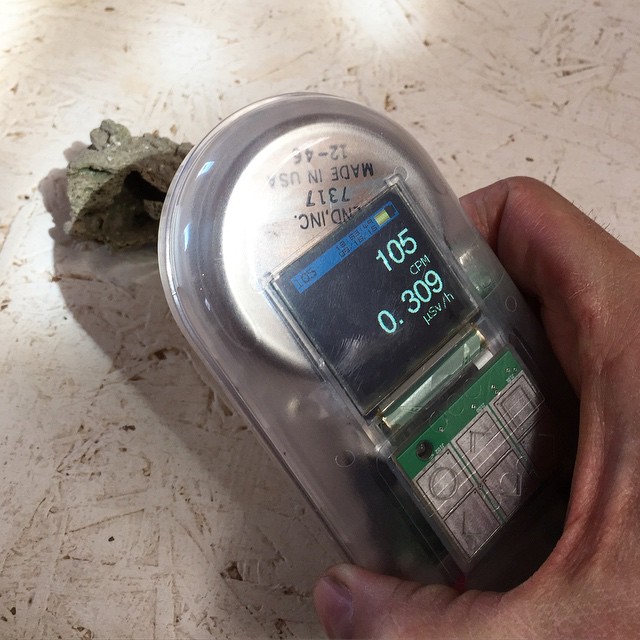
Just testing a chunk of Trinitite

img_0983.jpg

CAD0012323-1a
Topographic Map of Adobe Ranch, NM, USA
Find elevation by address:

Places near Adobe Ranch, NM, USA:
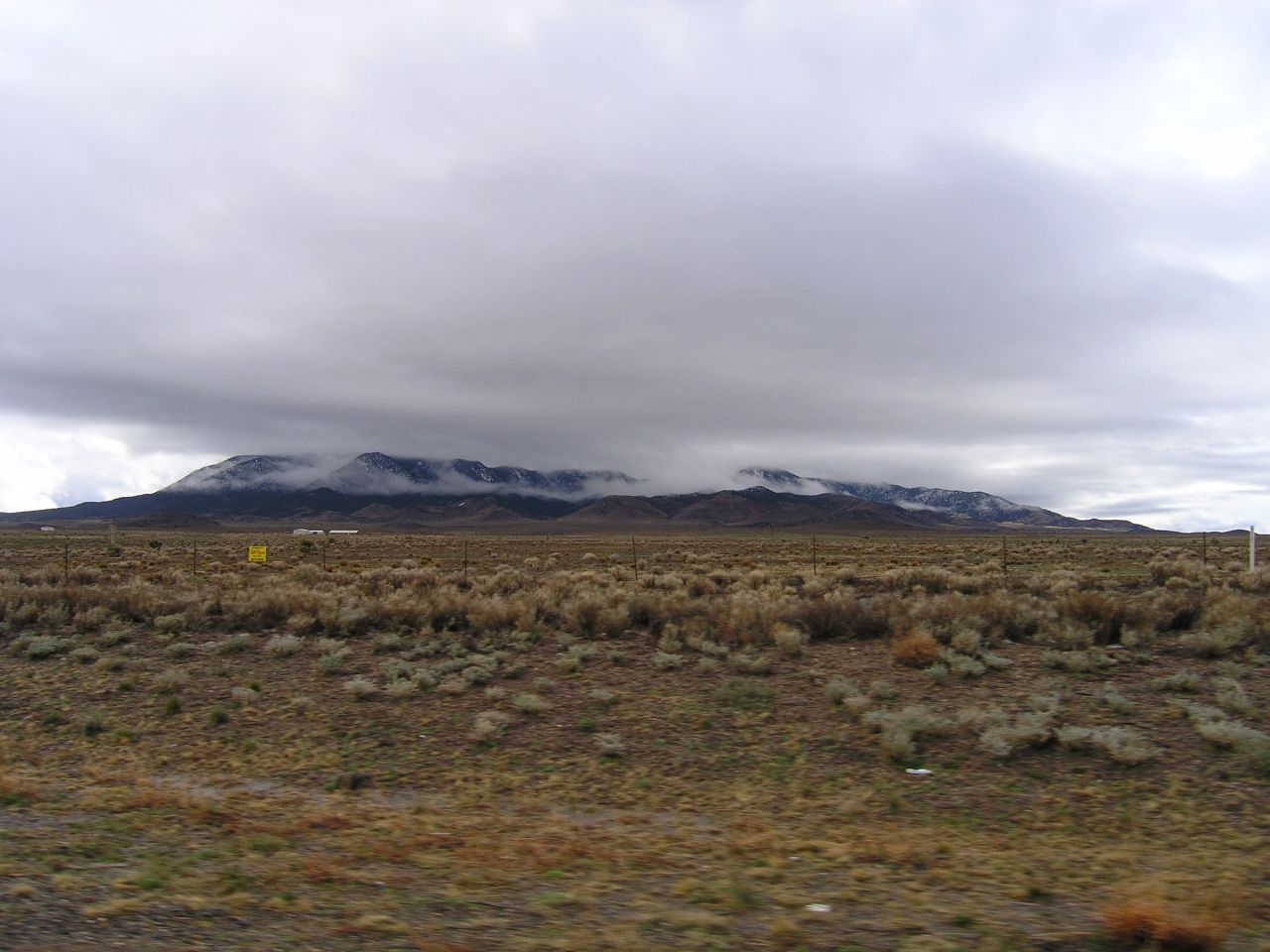
North Oscura Peak
Socorro County
Claunch
Gran Quivira Visitor Center
Lone Mountain
Hogback Ridge
Bosquecito Rd, San Antonio, NM, USA
1 Montoya
1 Montoya
Black Ridge
San Antonio
Whiteface Mountain
Cattle Garden Mesa
Moho Trail
3441 Jumano Trail
Jicarilla Mountains
Gallinas Peak
Ancho Peak
Trueno Loop
Mountainair
Recent Searches:
- Elevation of Corso Fratelli Cairoli, 35, Macerata MC, Italy
- Elevation of Tallevast Rd, Sarasota, FL, USA
- Elevation of 4th St E, Sonoma, CA, USA
- Elevation of Black Hollow Rd, Pennsdale, PA, USA
- Elevation of Oakland Ave, Williamsport, PA, USA
- Elevation of Pedrógão Grande, Portugal
- Elevation of Klee Dr, Martinsburg, WV, USA
- Elevation of Via Roma, Pieranica CR, Italy
- Elevation of Tavkvetili Mountain, Georgia
- Elevation of Hartfords Bluff Cir, Mt Pleasant, SC, USA