Elevation of Jicarilla Mountains, New Mexico, USA
Location: United States > New Mexico >
Longitude: -105.68304
Latitude: 33.8561843
Elevation: 2320m / 7612feet
Barometric Pressure: 76KPa
Elevation Map:
Satellite Map:
Related Photos:
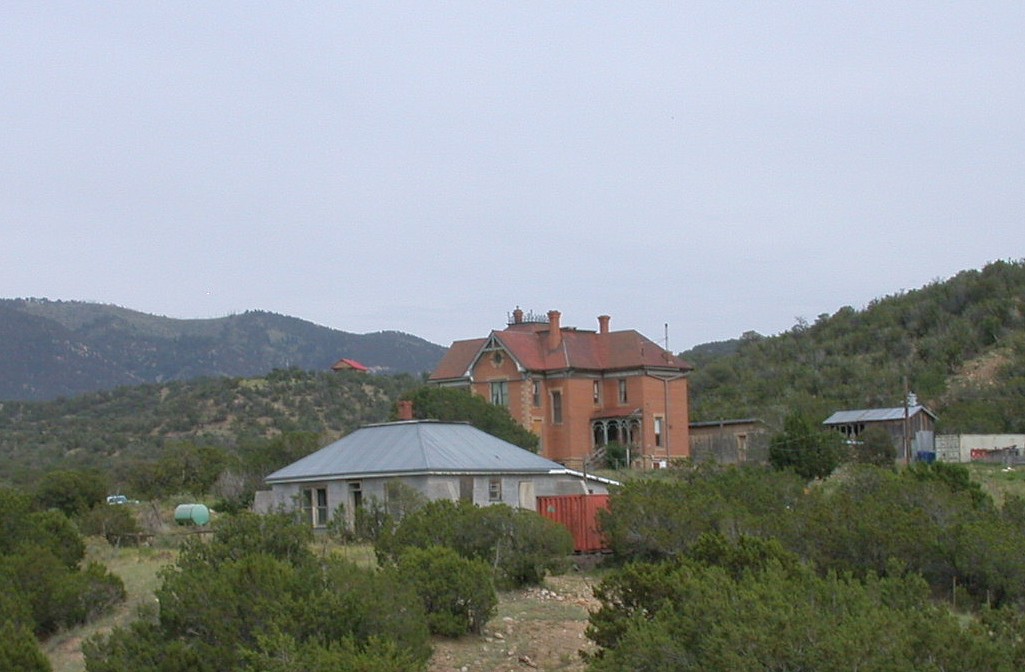
White Oaks, NM 3258a
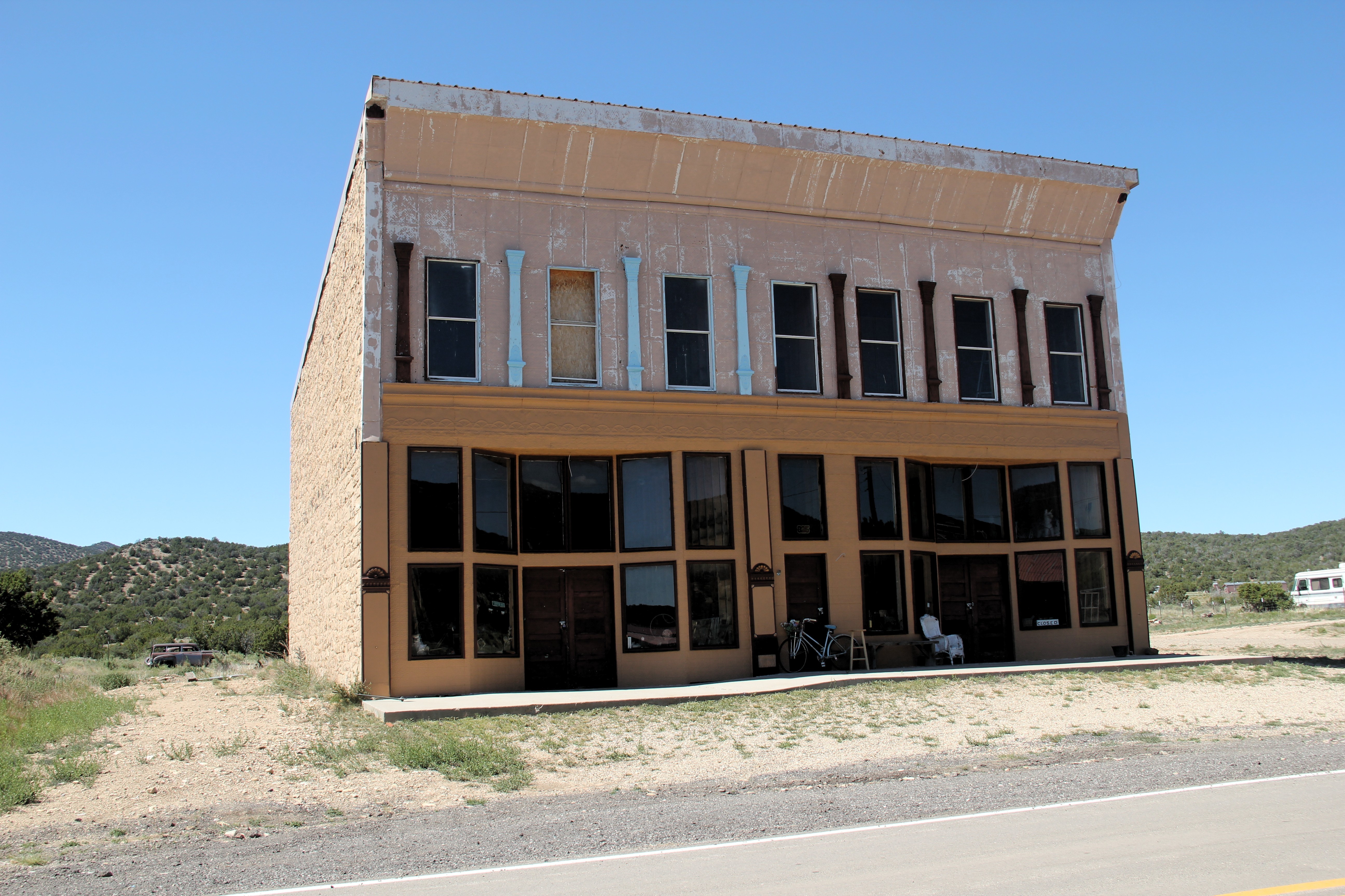
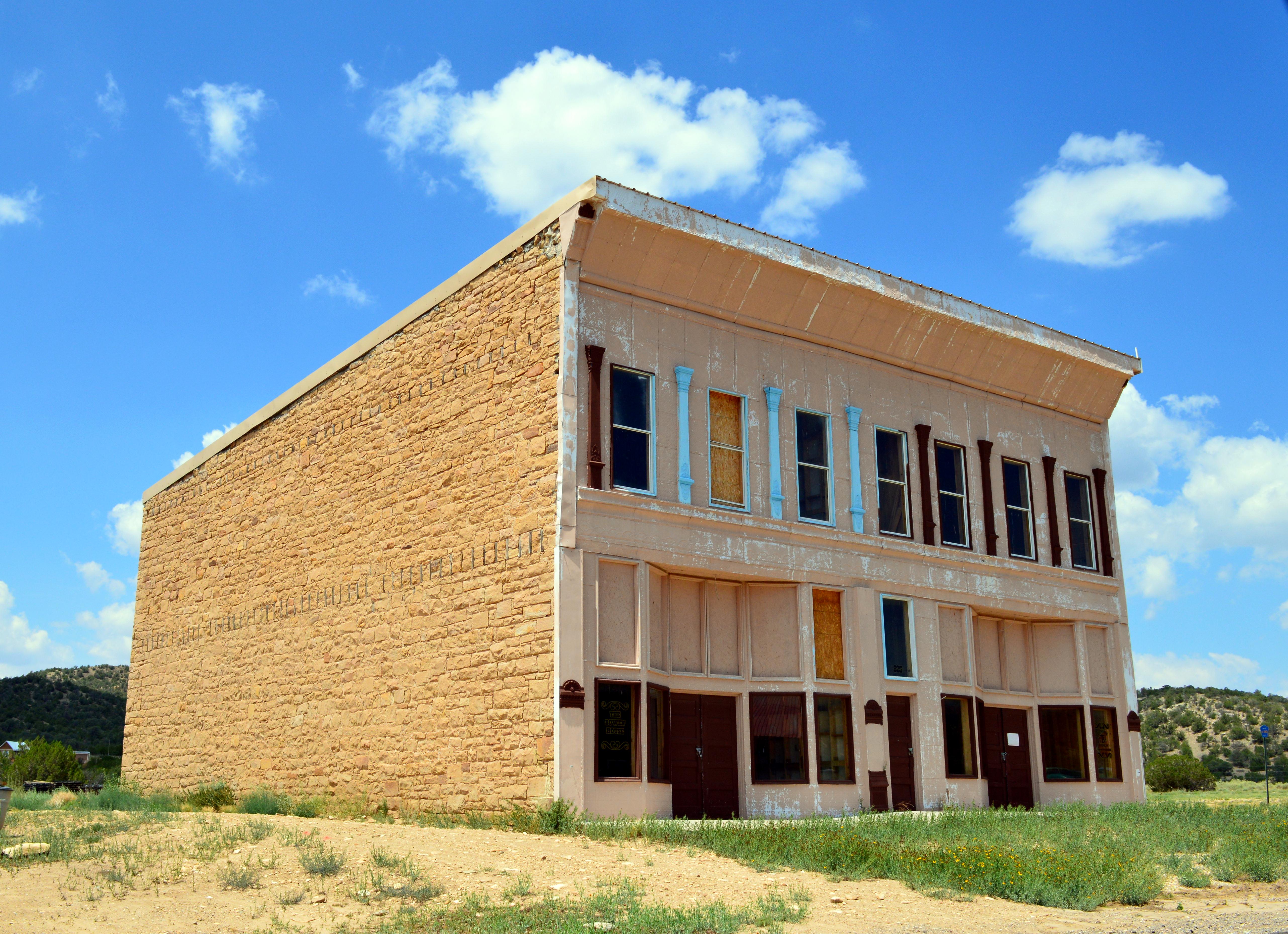
White Oaks, NM 3261a
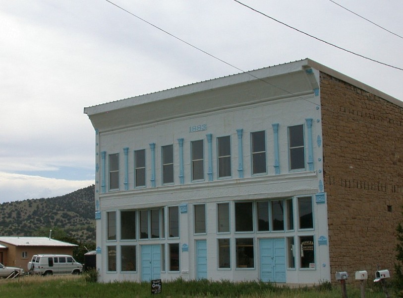
Mercantile Building, White Oaks, NM

Brown Building

Corpl John A. Brown

Free Library

Gumm House

Hoyle House 1

Ivy Victor Payne

School House 2

Susan McSween Barber 2

Susan McSween Barber

Taylor House

White Oaks 2
White Oaks
Oh hail

Container House ?

Hoyle House 3

Hoyle House 2

No Scum Allowed Saloon

School House 1
Topographic Map of Jicarilla Mountains, New Mexico, USA
Find elevation by address:

Places near Jicarilla Mountains, New Mexico, USA:
Ancho Peak
Jicarilla Peak
Hogback Ridge
Cattle Garden Mesa
Chupadero Mountain
Black Ridge
Jacks Peak
Bald Hills Sw
Lone Mountain
Pine Hill
Gallinas Peak
Corona
Peyton Road
Claunch
Gran Quivira Visitor Center
Adobe Ranch
Progresso
New Mexico
North Oscura Peak
Kenshaw Road
Recent Searches:
- Elevation of Corso Fratelli Cairoli, 35, Macerata MC, Italy
- Elevation of Tallevast Rd, Sarasota, FL, USA
- Elevation of 4th St E, Sonoma, CA, USA
- Elevation of Black Hollow Rd, Pennsdale, PA, USA
- Elevation of Oakland Ave, Williamsport, PA, USA
- Elevation of Pedrógão Grande, Portugal
- Elevation of Klee Dr, Martinsburg, WV, USA
- Elevation of Via Roma, Pieranica CR, Italy
- Elevation of Tavkvetili Mountain, Georgia
- Elevation of Hartfords Bluff Cir, Mt Pleasant, SC, USA