Elevation of Admiral Dr, Gun Barrel City, TX, USA
Location: United States > Texas > Henderson County > Gun Barrel City >
Longitude: -96.154986
Latitude: 32.3517167
Elevation: 102m / 335feet
Barometric Pressure: 100KPa
Elevation Map:
Satellite Map:
Related Photos:

Venus Transit

Hammock view 2

Hammock view 1

Heading home
WP_20121117_039_edited-1
Texas Drought (before) 11-07-09

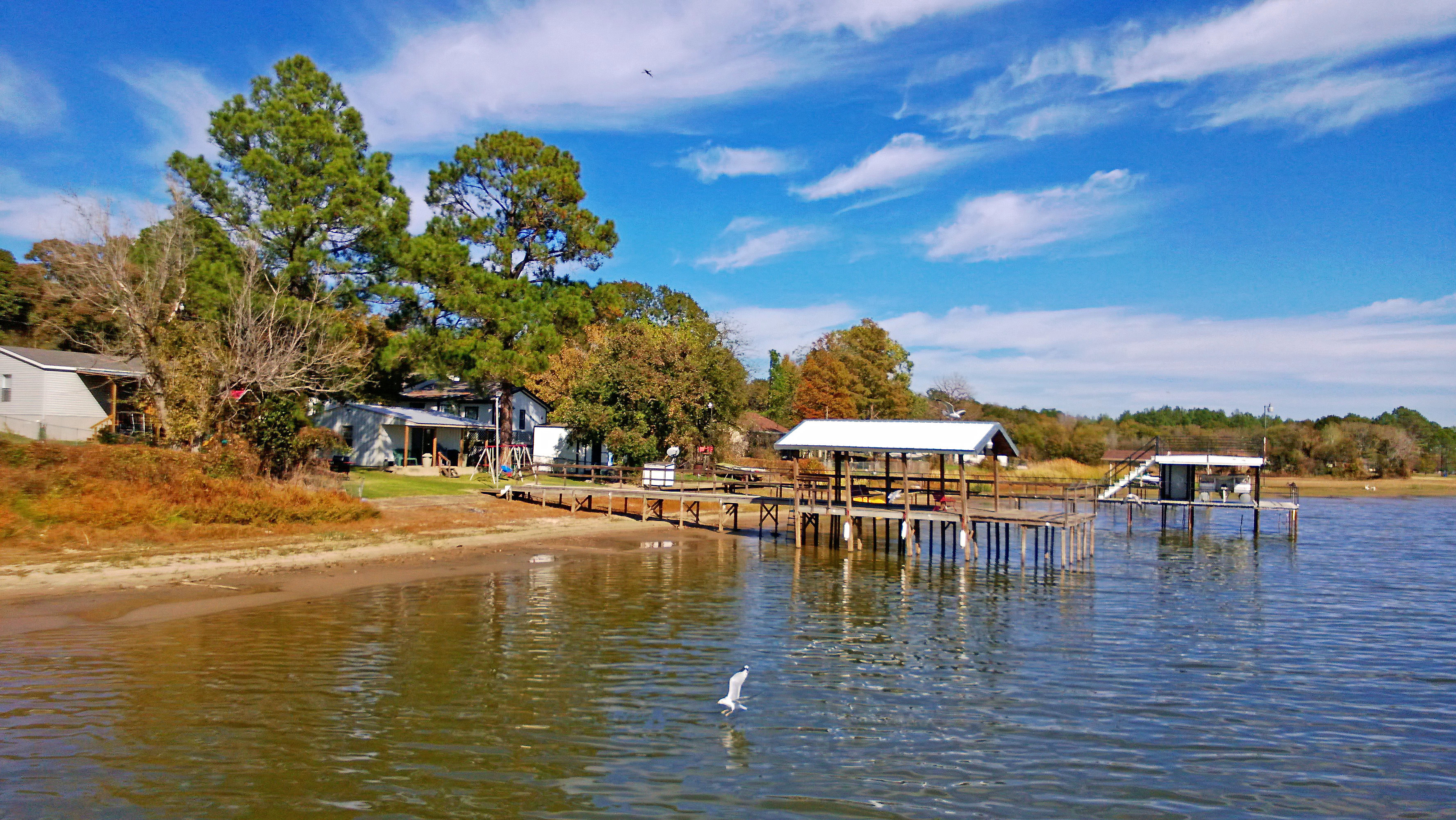
Kemp Texas Cedar Creek Lake Homes

Texas Sunset
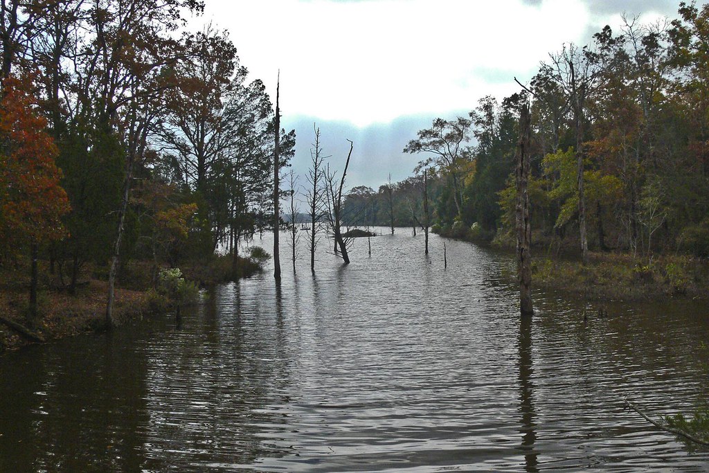
Purtis Creek 2
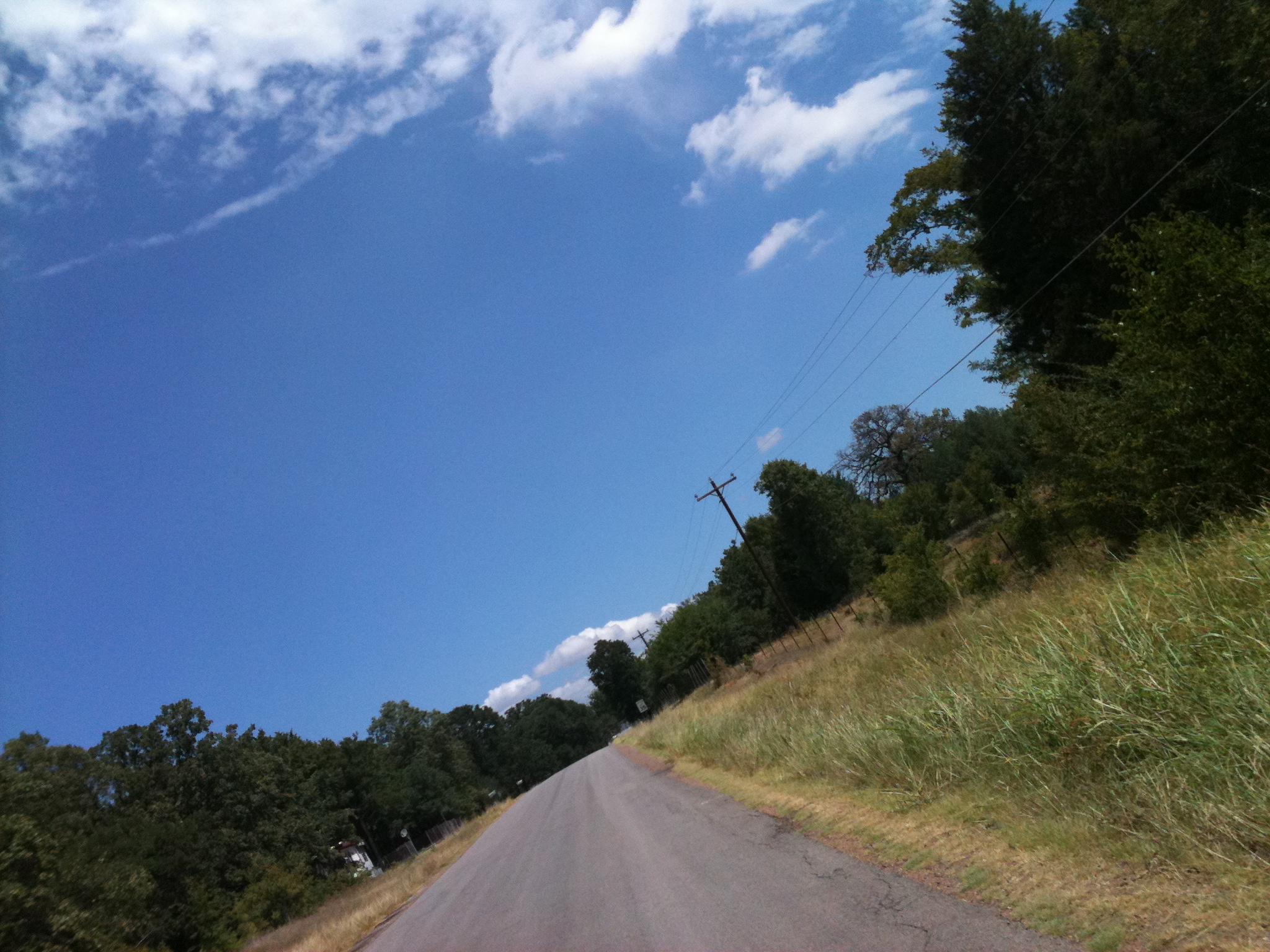
Texas Country Road near Cedar Creek Lake

Big one eyed Fish!

Night falls
Topographic Map of Admiral Dr, Gun Barrel City, TX, USA
Find elevation by address:

Places near Admiral Dr, Gun Barrel City, TX, USA:
411 Admiral Dr
413 Admiral Dr
Mabank
Kemp
County Road 4052
County Road 4057a
Co Rd, Kemp, TX, USA
FM, Kaufman, TX, USA
S Fm, Scurry, TX, USA
1512 Fm2727
S Fm, Scurry, TX, USA
Scurry
Kaufman County
Kaufman
Hiram Rd, Wills Point, TX, USA
5982 Abner Rd
County Road 2118
921 Cherry Creek Ln
7482 Havenridge Ln
FM, Athens, TX, USA
Recent Searches:
- Elevation of Corso Fratelli Cairoli, 35, Macerata MC, Italy
- Elevation of Tallevast Rd, Sarasota, FL, USA
- Elevation of 4th St E, Sonoma, CA, USA
- Elevation of Black Hollow Rd, Pennsdale, PA, USA
- Elevation of Oakland Ave, Williamsport, PA, USA
- Elevation of Pedrógão Grande, Portugal
- Elevation of Klee Dr, Martinsburg, WV, USA
- Elevation of Via Roma, Pieranica CR, Italy
- Elevation of Tavkvetili Mountain, Georgia
- Elevation of Hartfords Bluff Cir, Mt Pleasant, SC, USA