Elevation of Hiram Rd, Wills Point, TX, USA
Location: United States > Texas > Kaufman County >
Longitude: -96.107581
Latitude: 32.642522
Elevation: 135m / 443feet
Barometric Pressure: 100KPa
Elevation Map:
Satellite Map:
Related Photos:

Step into my archives....
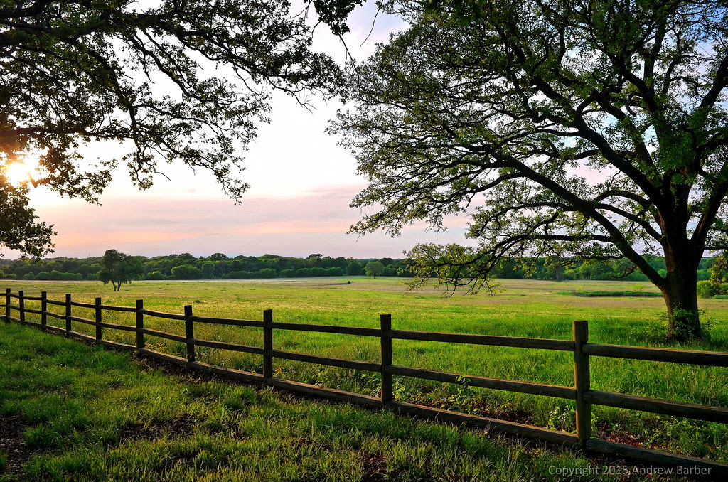
Wills Point, Texas

mOSTLy soNy - 421

69. Distant

68. Poke

72. Bent

73. Parking Lot

71. Ranchers

70. Elevator
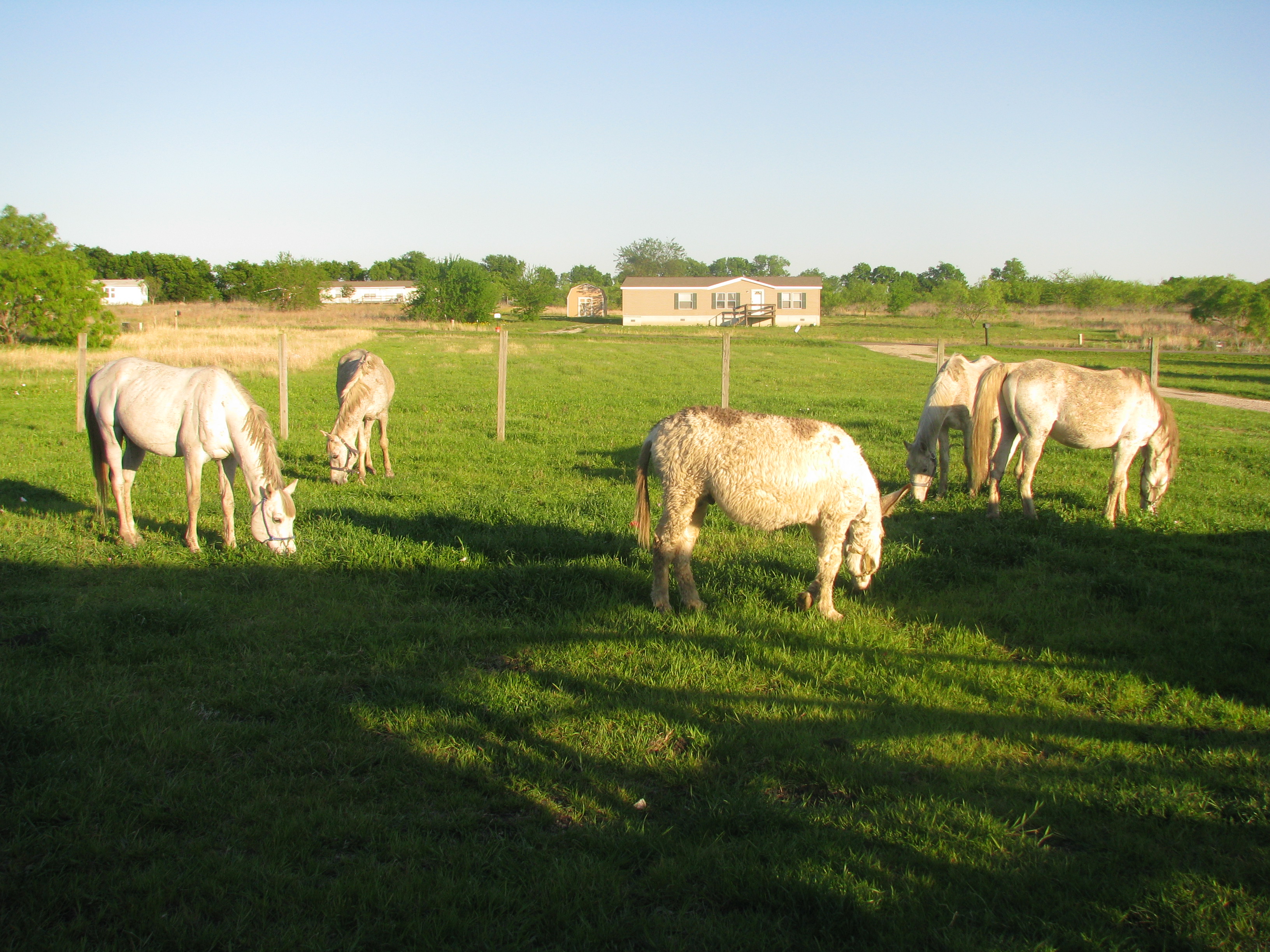
"We're busy eating"

mOSTLy soNy - 394

mammatus clouds3
Topographic Map of Hiram Rd, Wills Point, TX, USA
Find elevation by address:

Places near Hiram Rd, Wills Point, TX, USA:
E Us Highway 80, Forney, TX, USA
County Road 351
Wills Point Junior High School
5982 Abner Rd
Co Rd, Terrell, TX, USA
110 Gordon St
Wills Point
303 N 3rd St
FM, Kaufman, TX, USA
County Road 3411
17144 Co Rd 345
County Road 3815
1512 Fm2727
430 Vz County Rd 3825
430 Vz County Rd 3825
430 Vz County Rd 3825
South Delphine Street
Terrell
FM, Terrell, TX, USA
702 Griffith Ave
Recent Searches:
- Elevation of Corso Fratelli Cairoli, 35, Macerata MC, Italy
- Elevation of Tallevast Rd, Sarasota, FL, USA
- Elevation of 4th St E, Sonoma, CA, USA
- Elevation of Black Hollow Rd, Pennsdale, PA, USA
- Elevation of Oakland Ave, Williamsport, PA, USA
- Elevation of Pedrógão Grande, Portugal
- Elevation of Klee Dr, Martinsburg, WV, USA
- Elevation of Via Roma, Pieranica CR, Italy
- Elevation of Tavkvetili Mountain, Georgia
- Elevation of Hartfords Bluff Cir, Mt Pleasant, SC, USA