Elevation of FM, Athens, TX, USA
Location: United States > Texas > Van Zandt County >
Longitude: -95.811786
Latitude: 32.357388
Elevation: 134m / 440feet
Barometric Pressure: 100KPa
Elevation Map:
Satellite Map:
Related Photos:
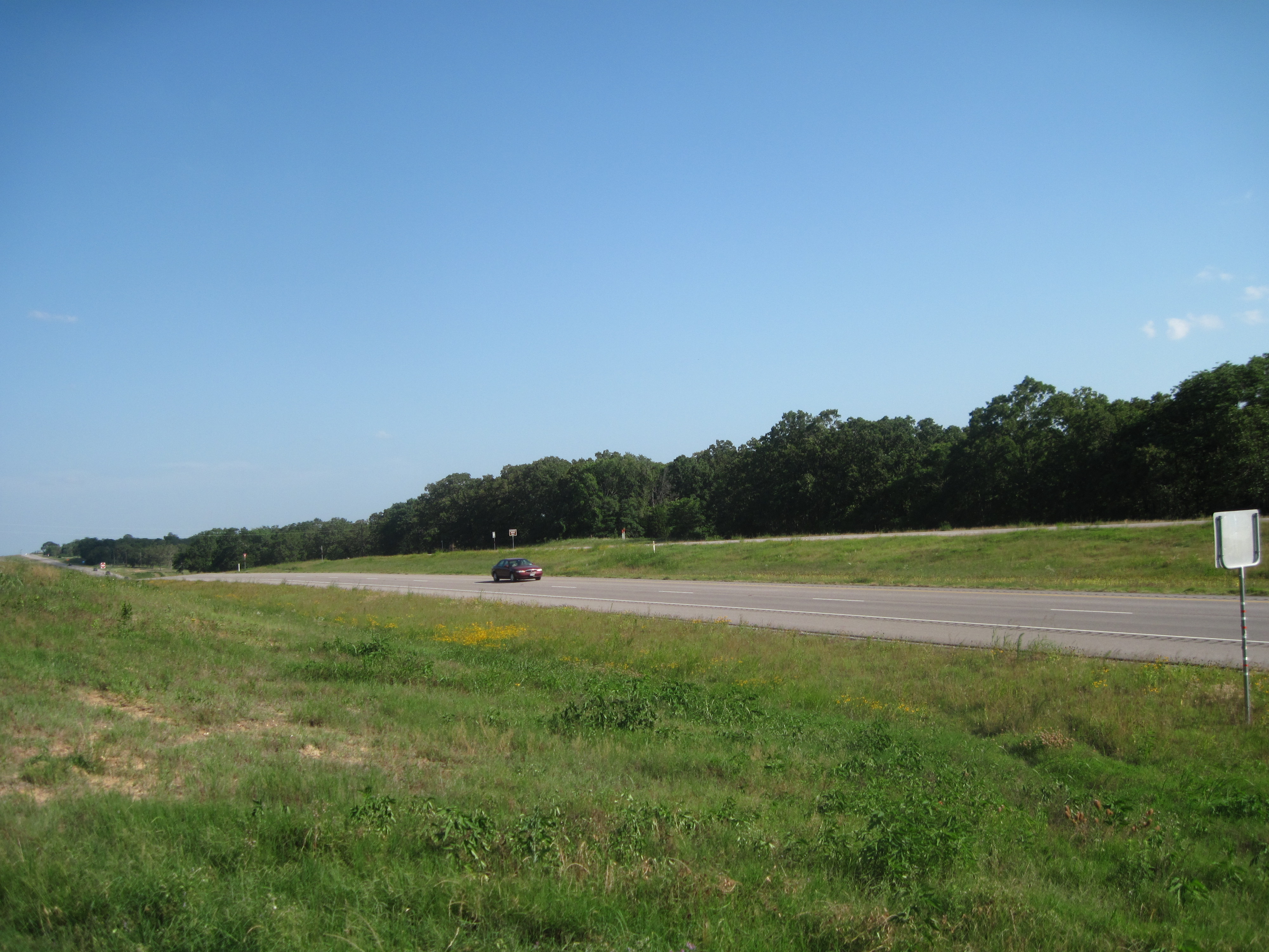
View from Marker, Highway 175
View from the marker

I have nothing to fear, and here my story ends. My troubles are over and I am home.
Wispy Soft

Through aTunnel of Trees

#unionpacific #sd70m flared as local power #Murchison #CorsicanaSub
452172-R1-016-6A_005

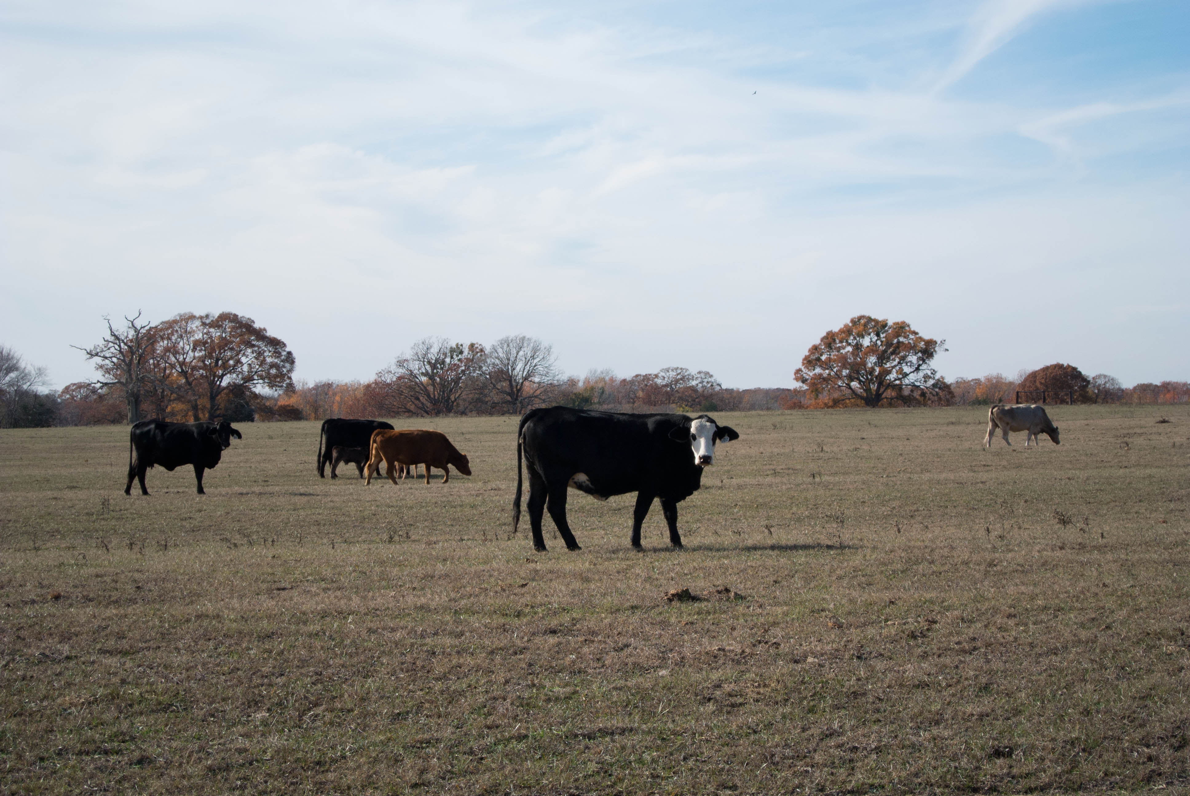
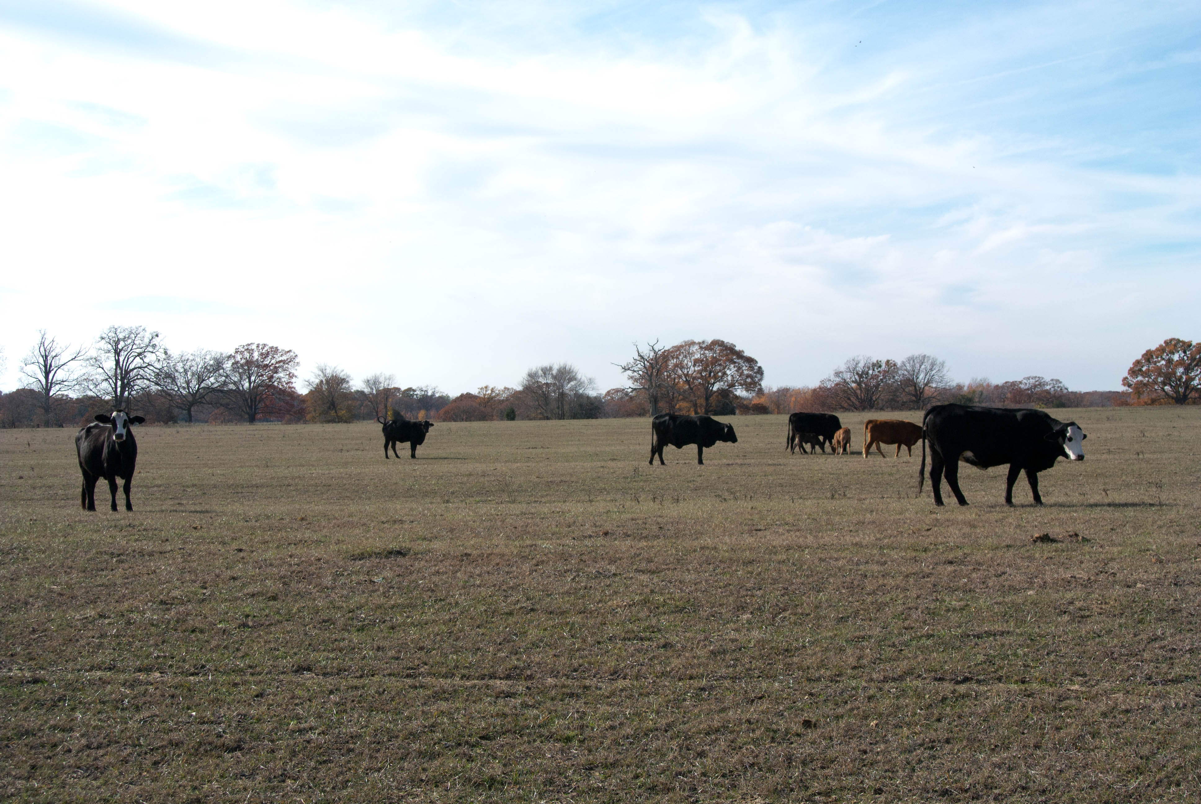
Black Beauty Ranch

20111217-DSC_3329_30_31_32_33_tonemapped_filtered
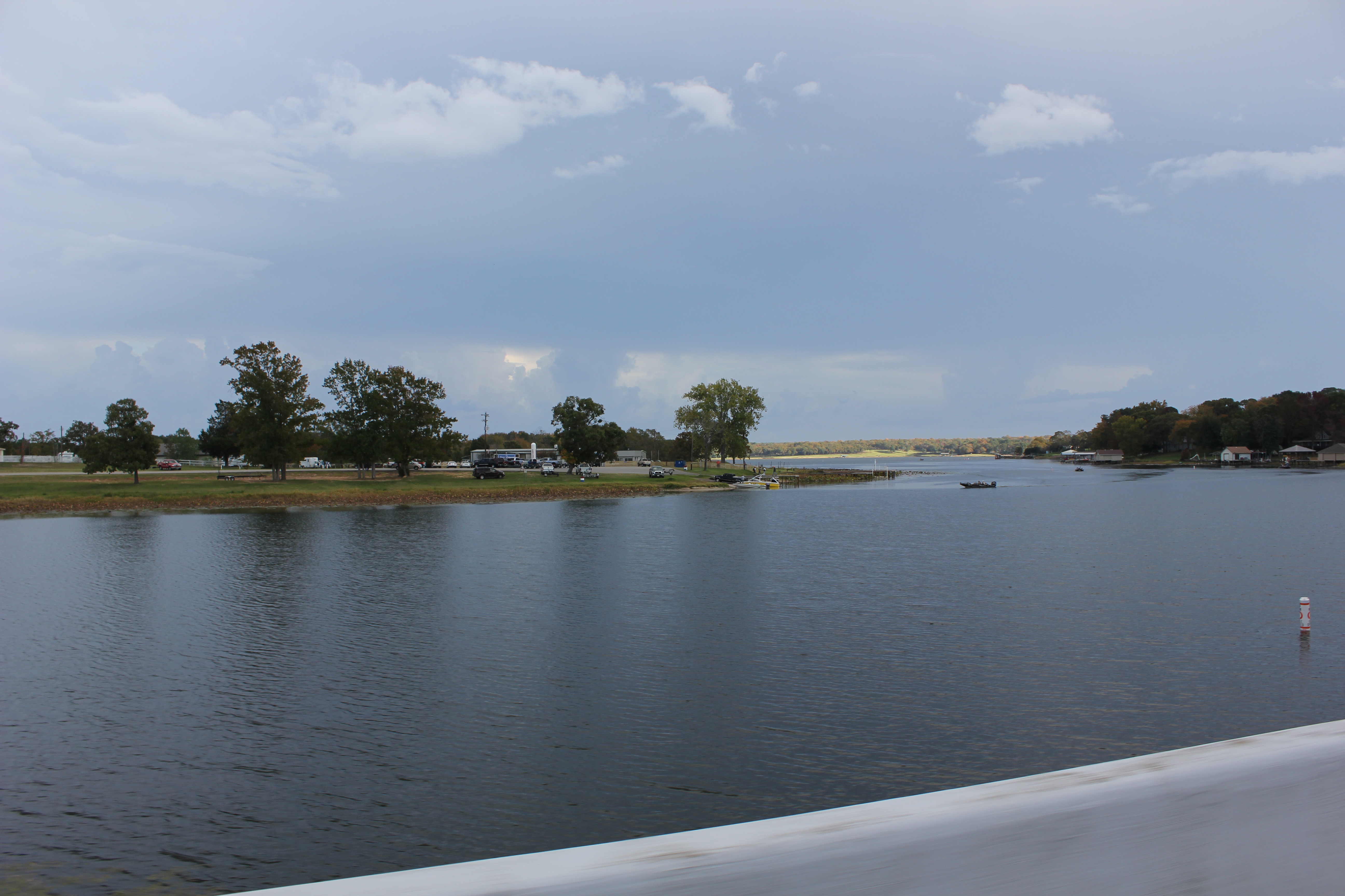
Lake Athens 1, Athens, Texas

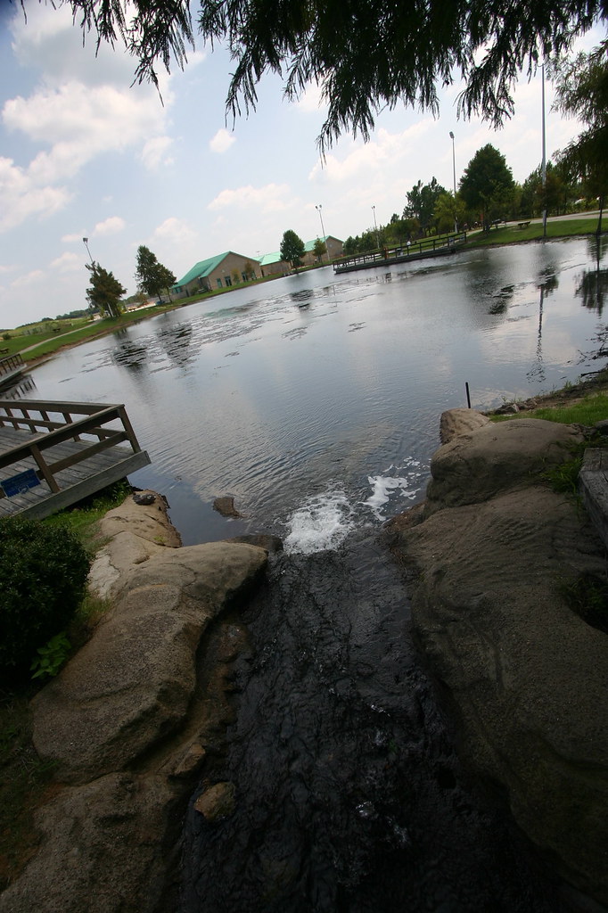
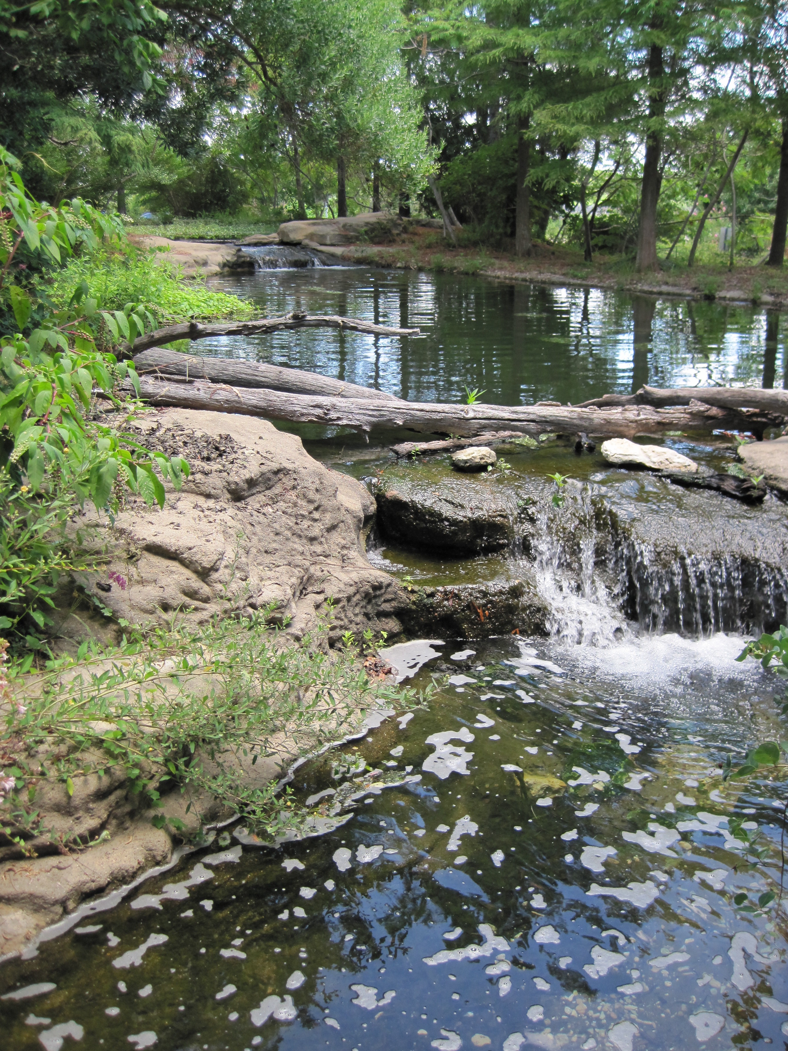
Rock Bridge

Black Beauty Ranch
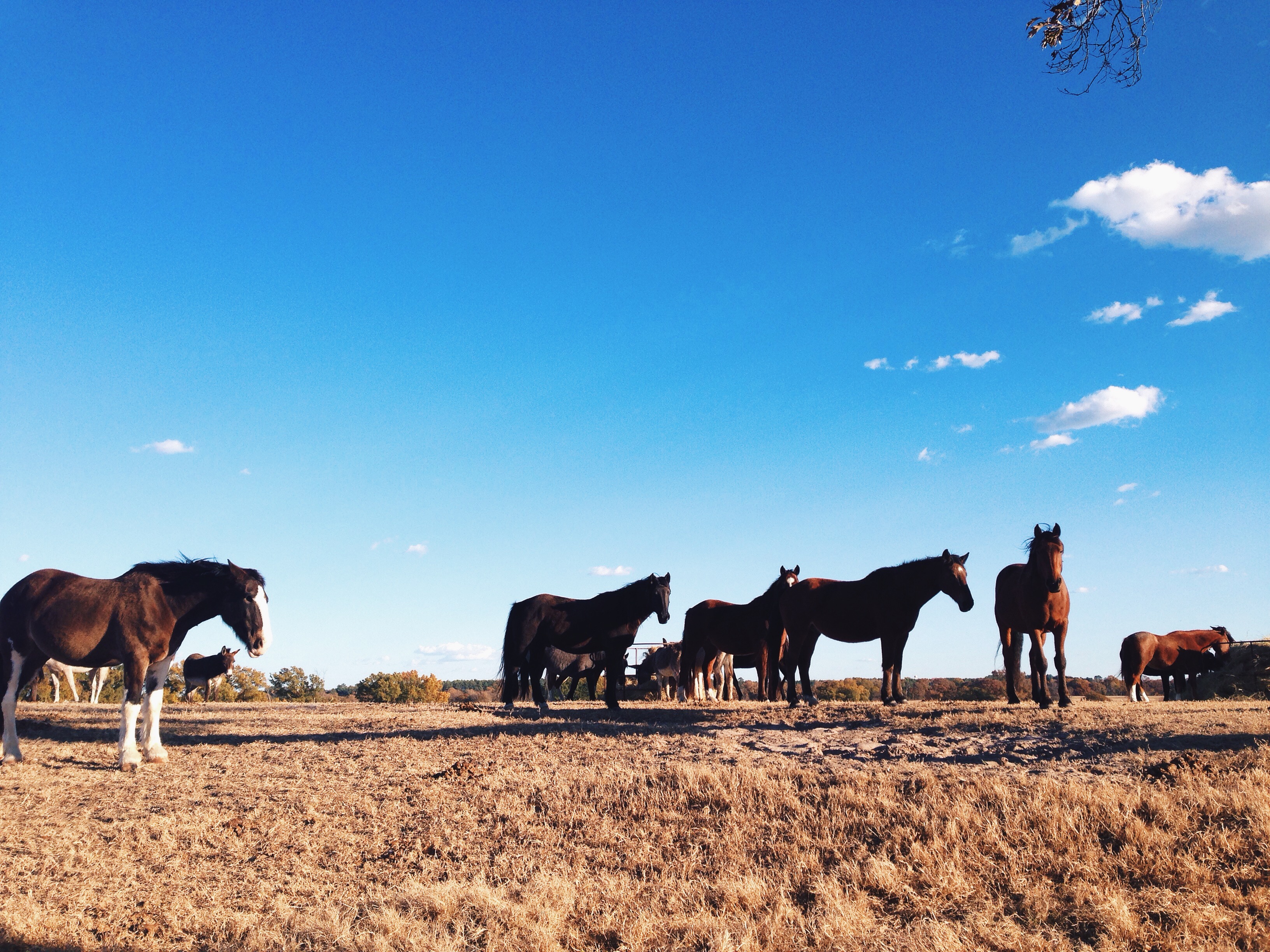
Black Beauty Ranch

The Fishing Hole
20111217-DSC_3357.jpg
Keep The Water Moving
20111217-DSC_3356.jpg
Texas Freshwater Fisheries Center
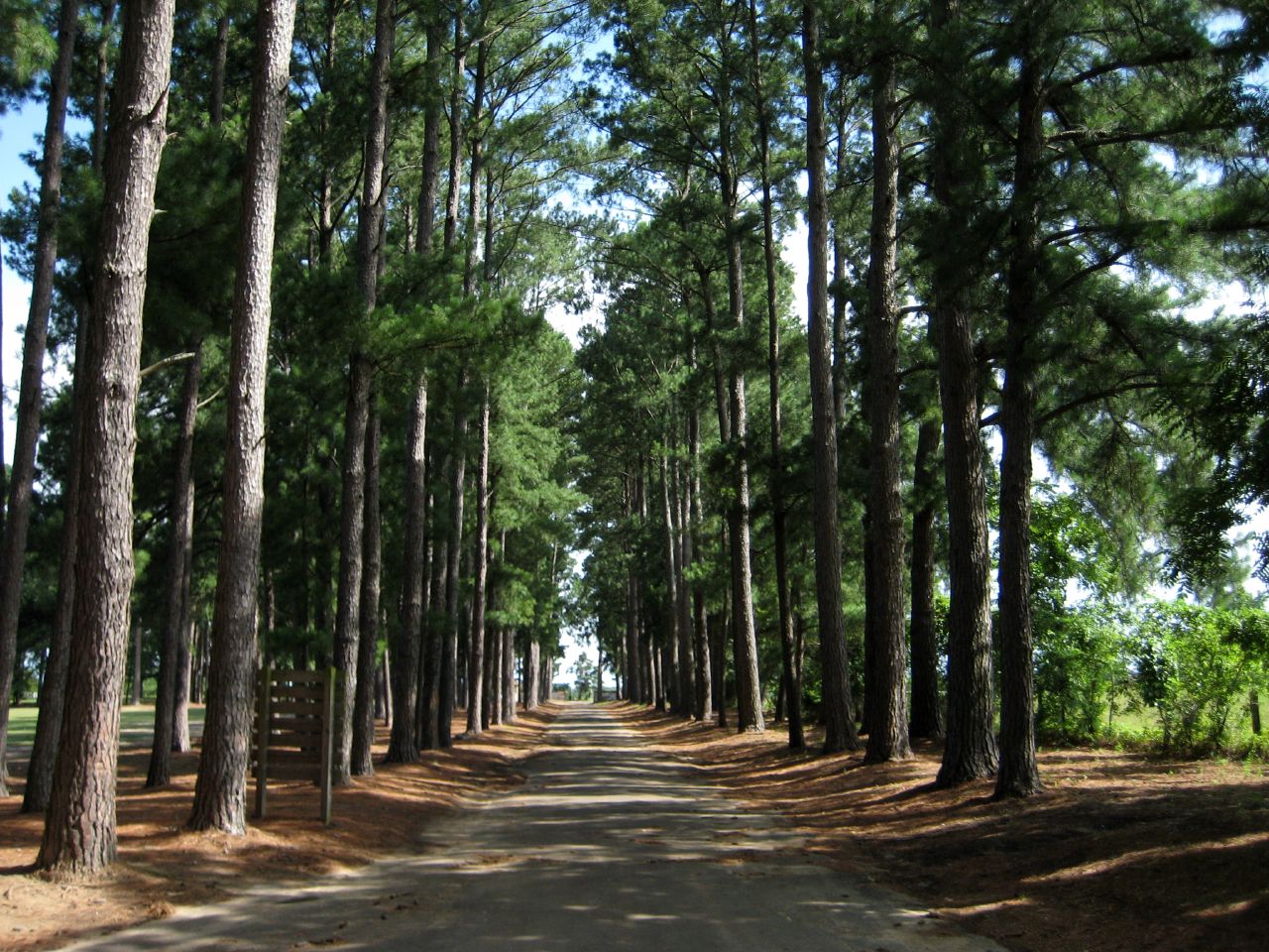
Tunnel of Trees

leopard appaloosa at the black beauty ranch
20111217-DSC_3358.jpg
Topographic Map of FM, Athens, TX, USA
Find elevation by address:

Places near FM, Athens, TX, USA:
Van Zandt County
FM, Ben Wheeler, TX, USA
Ben Wheeler
Private Road 8700
Texas 64
801 Tx-243
Canton
921 Cherry Creek Ln
County Road 2118
850 Vz County Rd 1502
Van
380 Washington St
TX-, Grand Saline, TX, USA
Co Rd, Grand Saline, TX, USA
TX-, Grand Saline, TX, USA
Mabank
Farm To Market, Grand Saline, TX, USA
Sand Flat Missionary Baptist Church
Fruitvale
403 Tower St
Recent Searches:
- Elevation of Corso Fratelli Cairoli, 35, Macerata MC, Italy
- Elevation of Tallevast Rd, Sarasota, FL, USA
- Elevation of 4th St E, Sonoma, CA, USA
- Elevation of Black Hollow Rd, Pennsdale, PA, USA
- Elevation of Oakland Ave, Williamsport, PA, USA
- Elevation of Pedrógão Grande, Portugal
- Elevation of Klee Dr, Martinsburg, WV, USA
- Elevation of Via Roma, Pieranica CR, Italy
- Elevation of Tavkvetili Mountain, Georgia
- Elevation of Hartfords Bluff Cir, Mt Pleasant, SC, USA