Elevation of Vz County Rd, Van, TX, USA
Location: United States > Texas > Van Zandt County > Van >
Longitude: -95.658647
Latitude: 32.5393121
Elevation: 153m / 502feet
Barometric Pressure: 99KPa
Elevation Map:
Satellite Map:
Related Photos:

Channel 19

Merry Christmas!

Lost in Thought
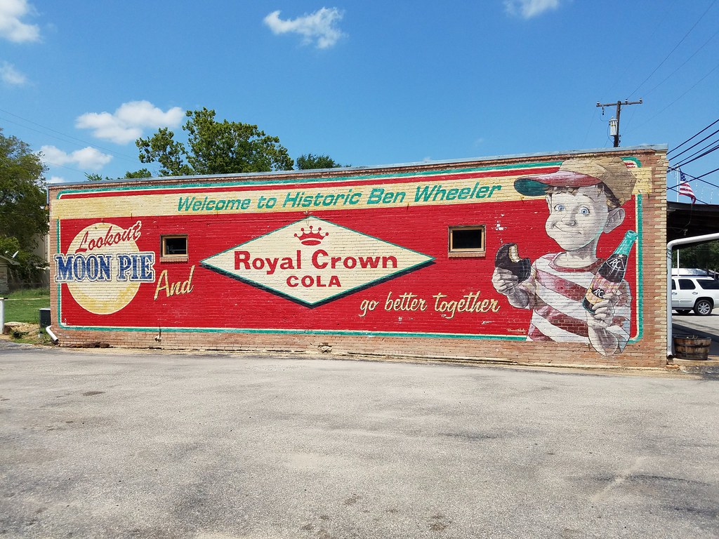
Moon Pie and RC
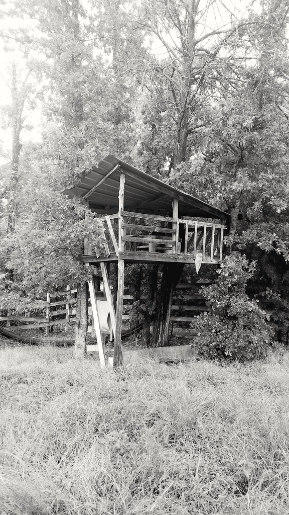
Tree House

Power Glide

GPQ 92

Grand Saline Sign of Refreshment

Grand Saline, Texas Coca-Cola Sign
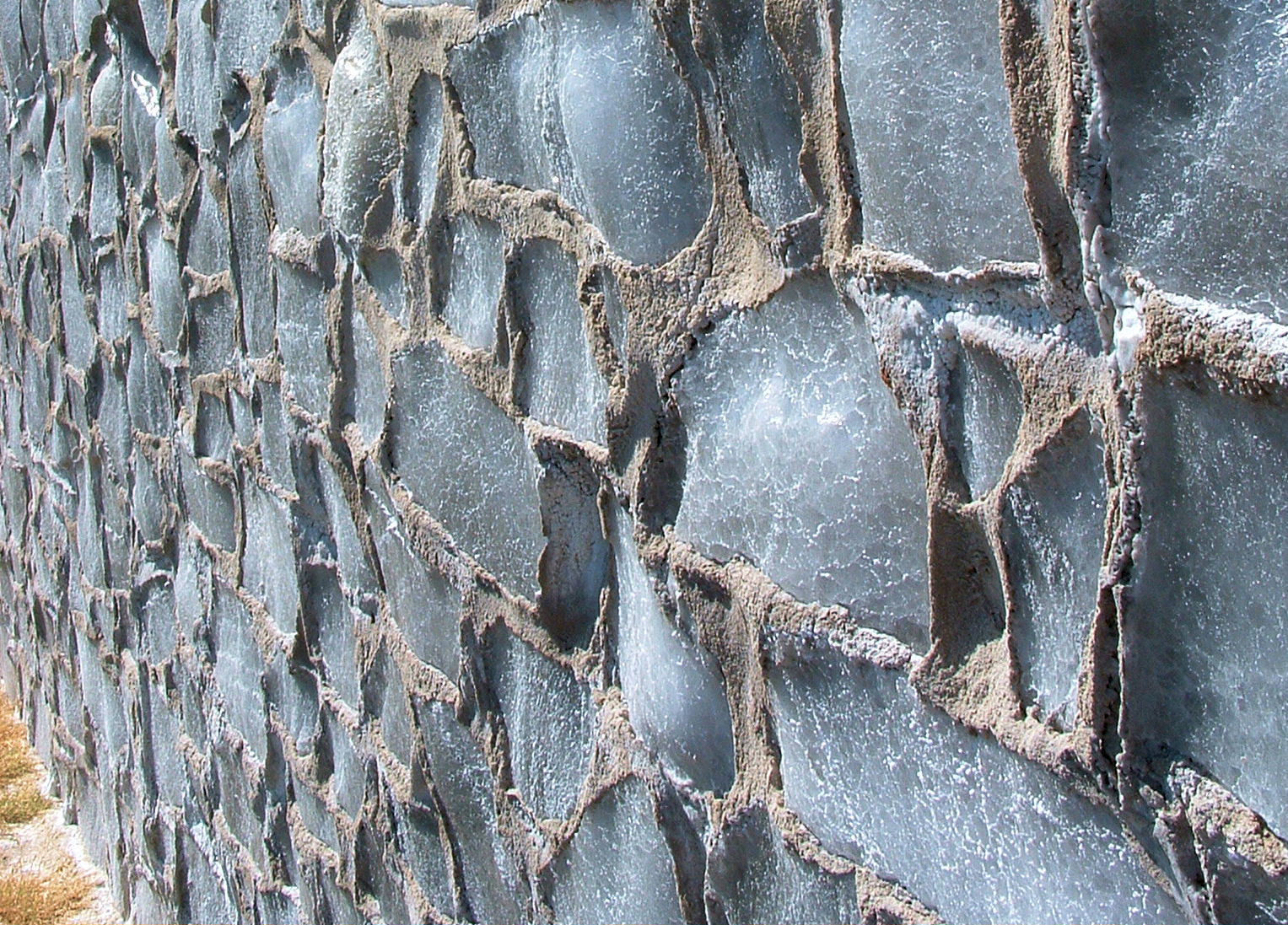
salt house grand saline

View of Stallion Lake Ranch from CR-424

View from Hill on Stallion Shores Court

DSCF0298 View Down Stairs

#Texas skies seem bigger somehow #roadtrippin

Stallion Lake (Marsh Lake) Fishing Dock - Lindale, TX

Stallion Lake Ranch - Private Road - Lindale, TX
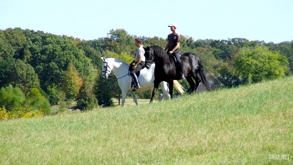
Tuesday Ride

The East of the West

russian texas

P2230123.JPG
Topographic Map of Vz County Rd, Van, TX, USA
Find elevation by address:

Places near Vz County Rd, Van, TX, USA:
Van
380 Washington St
TX-, Grand Saline, TX, USA
TX-, Grand Saline, TX, USA
Sand Flat Missionary Baptist Church
Farm To Market, Grand Saline, TX, USA
Ben Wheeler
FM, Ben Wheeler, TX, USA
Private Road 8700
Texas 64
500 E Pacific St
Grand Saline
Co Rd, Grand Saline, TX, USA
403 Tower St
Van Zandt County
801 Tx-243
Fruitvale
Canton
921 Cherry Creek Ln
FM, Athens, TX, USA
Recent Searches:
- Elevation of Corso Fratelli Cairoli, 35, Macerata MC, Italy
- Elevation of Tallevast Rd, Sarasota, FL, USA
- Elevation of 4th St E, Sonoma, CA, USA
- Elevation of Black Hollow Rd, Pennsdale, PA, USA
- Elevation of Oakland Ave, Williamsport, PA, USA
- Elevation of Pedrógão Grande, Portugal
- Elevation of Klee Dr, Martinsburg, WV, USA
- Elevation of Via Roma, Pieranica CR, Italy
- Elevation of Tavkvetili Mountain, Georgia
- Elevation of Hartfords Bluff Cir, Mt Pleasant, SC, USA