Elevation of Šventupė, Lithuania
Location: Lithuania > Vilnius County > Ukmergė District Municipality >
Longitude: 24.884677
Latitude: 55.320092
Elevation: 71m / 233feet
Barometric Pressure: 100KPa
Elevation Map:
Satellite Map:
Related Photos:
Ar jau galima valgyt?

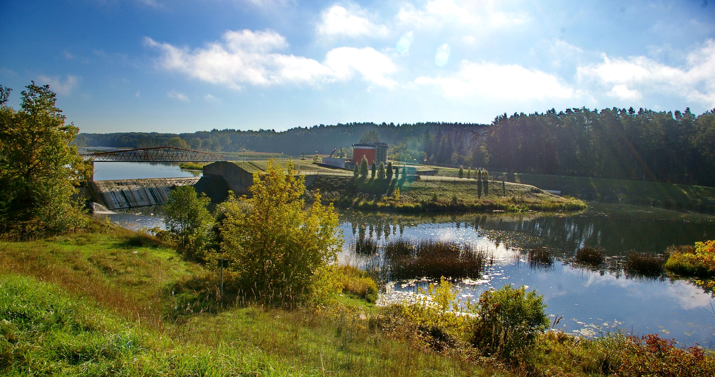
Evening landscape

... on grass.
IMGP3911 Stitch

Besökare Samtidigt
Topographic Map of Šventupė, Lithuania
Find elevation by address:

Places near Šventupė, Lithuania:
Melioratorių G. 20
Ukmergė
Ukmergė District Municipality
Žiedo G. 9
Pagojė
52, Anciūnai, Lithuania
Troškūnai
Anykščiai District Municipality
Kiaukliai
Širvintos
Širvintos District Municipality
Anykščiai
Vašuokėnai
Surdegis
Raguvėlė
Kupiškis
Gaižūnai
Taruškos
Kupiškis District Municipality
Jonava District Municipality
Recent Searches:
- Elevation of Corso Fratelli Cairoli, 35, Macerata MC, Italy
- Elevation of Tallevast Rd, Sarasota, FL, USA
- Elevation of 4th St E, Sonoma, CA, USA
- Elevation of Black Hollow Rd, Pennsdale, PA, USA
- Elevation of Oakland Ave, Williamsport, PA, USA
- Elevation of Pedrógão Grande, Portugal
- Elevation of Klee Dr, Martinsburg, WV, USA
- Elevation of Via Roma, Pieranica CR, Italy
- Elevation of Tavkvetili Mountain, Georgia
- Elevation of Hartfords Bluff Cir, Mt Pleasant, SC, USA