Elevation of Gaižūnai, Lithuania
Location: Lithuania > Kaunas County > Jonava District Municipality >
Longitude: 24.3585029
Latitude: 55.2635579
Elevation: 80m / 262feet
Barometric Pressure: 100KPa
Elevation Map:
Satellite Map:
Related Photos:

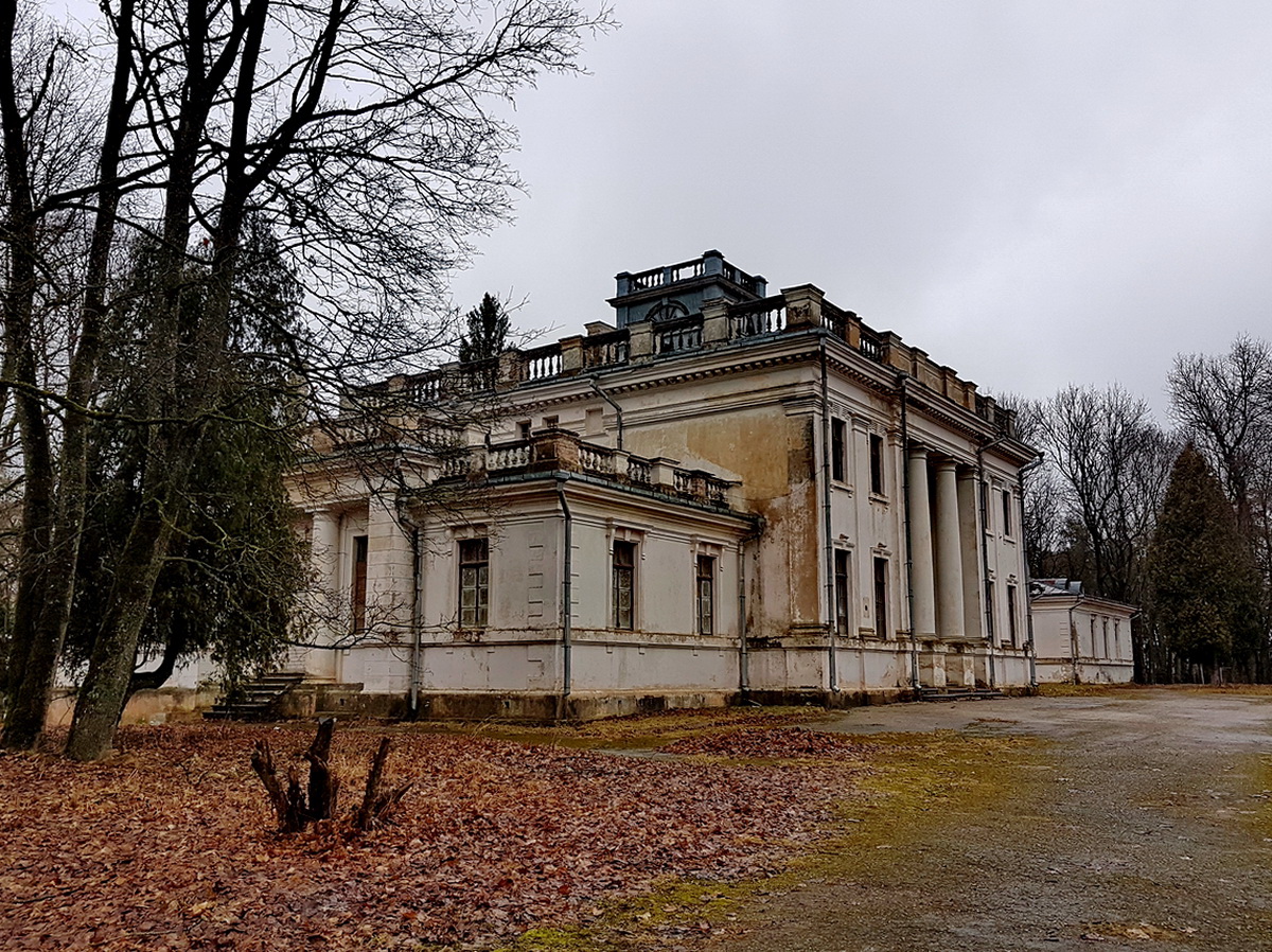
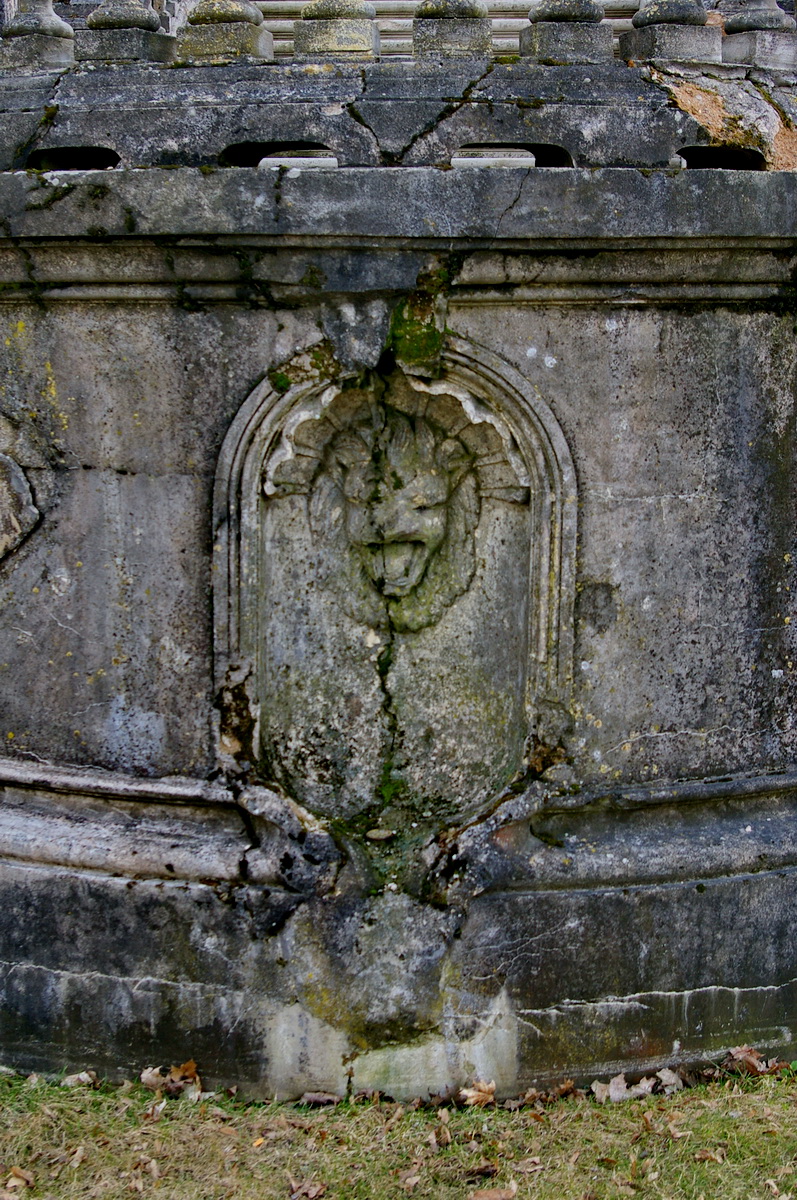
Siesikų pilis

Siesikų bažnyčia

20190803_103754 Stitch

20190406_132204(0)

01 20190316_104656
01 20190316_104509

01 IMGP0623

02 20190316_104722

03 20190316_104646

05 20190316_105233(0)

11 20190316_104427

11 20190316_104501

11 20190316_105403

03 20190316_104546

04 20190316_105230

06 20190316_105310(0)

11 20190316_105450

00 IMGP0627

01 IMGP0632

01 IMGP0648

01 IMGP0651

01 IMGP0647
01 IMGP0661
Topographic Map of Gaižūnai, Lithuania
Find elevation by address:

Places near Gaižūnai, Lithuania:
Jonava District Municipality
Pavermenys
Jonava
Pagojė
Panevėžys District Municipality
Žiedo G. 9
Kėdainiai District Municipality
Babėnai
Ukmergė District Municipality
Kėdainiai
Karciupis
Kaišiadorys
Kaišiadorys District Municipality
Ukmergė
Panevėžys
Panevėžio Miesto Savivaldybė
Sandraugos G. 29
Sandraugos G. 29
Kaunas County
Raguvėlė
Recent Searches:
- Elevation of Corso Fratelli Cairoli, 35, Macerata MC, Italy
- Elevation of Tallevast Rd, Sarasota, FL, USA
- Elevation of 4th St E, Sonoma, CA, USA
- Elevation of Black Hollow Rd, Pennsdale, PA, USA
- Elevation of Oakland Ave, Williamsport, PA, USA
- Elevation of Pedrógão Grande, Portugal
- Elevation of Klee Dr, Martinsburg, WV, USA
- Elevation of Via Roma, Pieranica CR, Italy
- Elevation of Tavkvetili Mountain, Georgia
- Elevation of Hartfords Bluff Cir, Mt Pleasant, SC, USA