Elevation of Kėdainiai District Municipality, Lithuania
Location: Lithuania > Kaunas County >
Longitude: 23.9832683
Latitude: 55.3560947
Elevation: 48m / 157feet
Barometric Pressure: 101KPa
Elevation Map:
Satellite Map:
Related Photos:
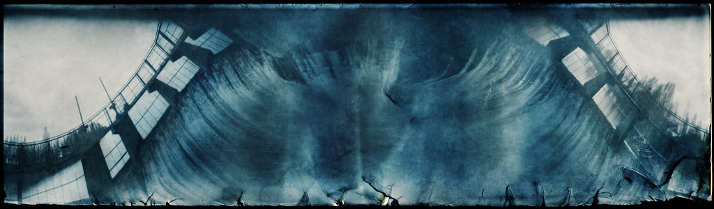
Water Mountain
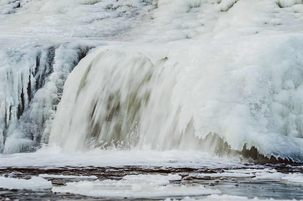
Iceland | Kėdainiai, Lithuania
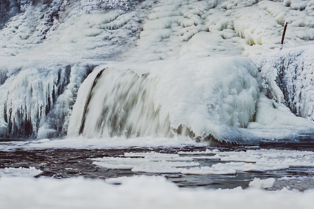
Iceland | Kėdainiai, Lithuania
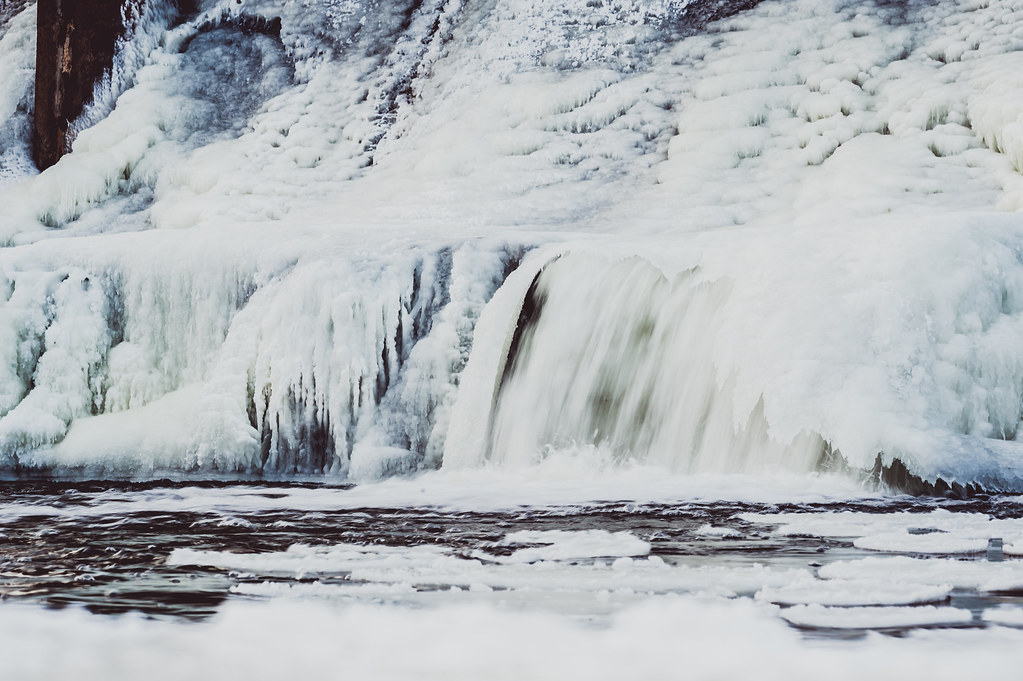
Iceland | Kėdainiai, Lithuania
Driving back to Kaunas

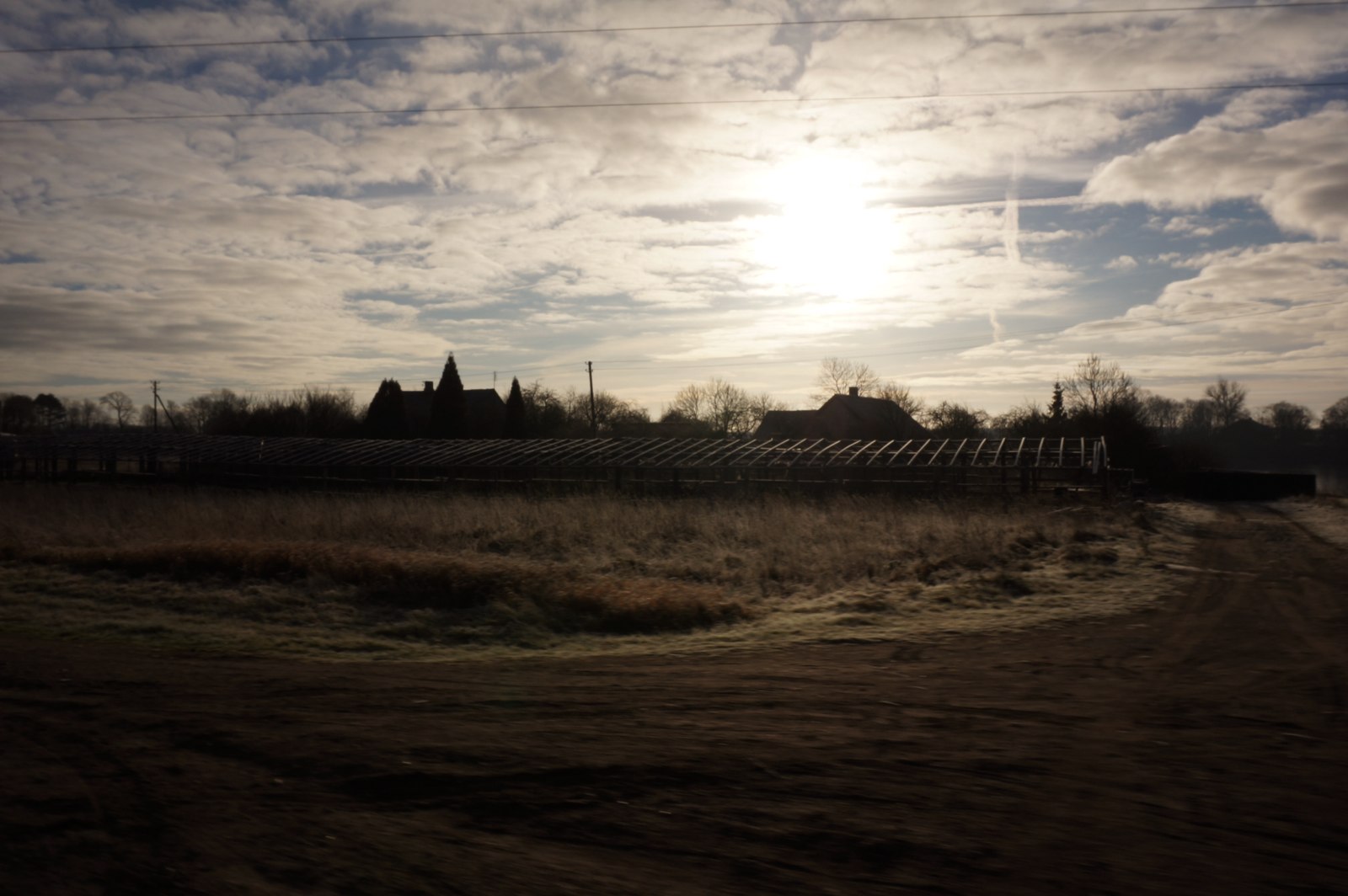
The farm

Kėdainiai
2008-08-14 21-21 033

From books that were written in Kadainai
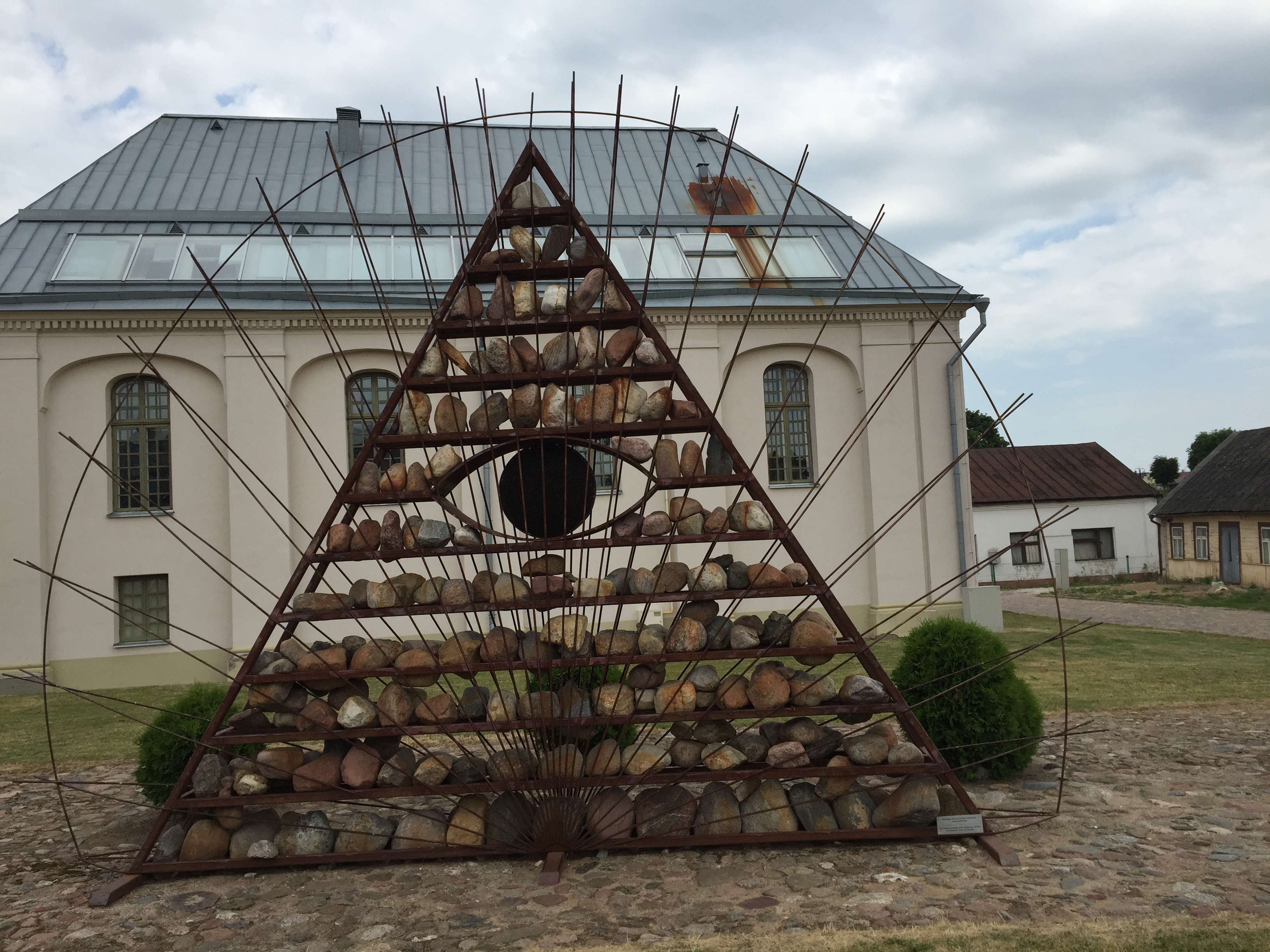
Memorial in Kadainai

From books that were written in Kadainai
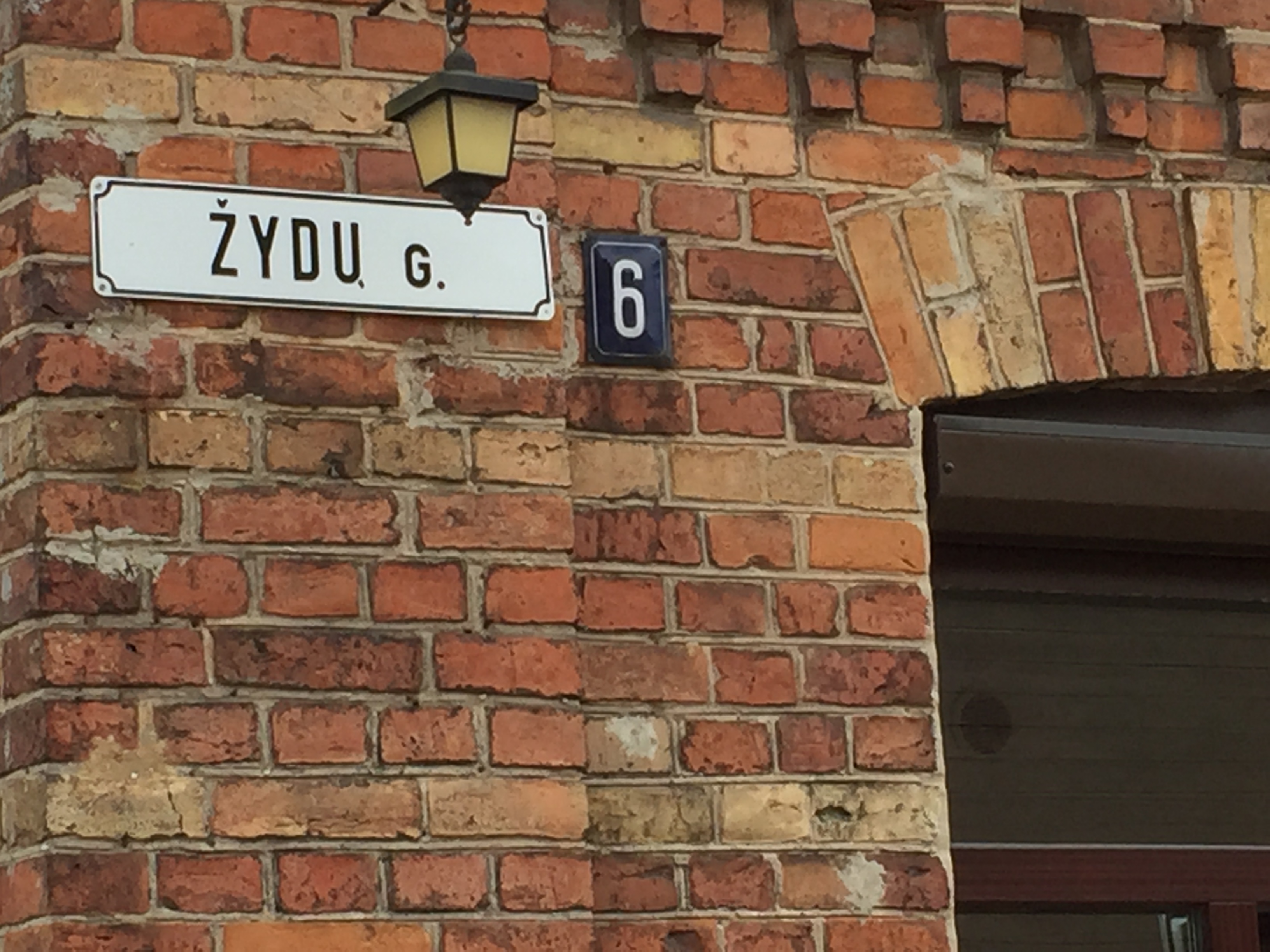
Jew Street

raudona/žalia/geltona

Kofia-Roysted

Visitor Meanwhile
Kėdainiai
The suction hole

#lithuania #dotnuva #church #baznycia

Besökare Samtidigt
Kėdainiai Kedainiai

Orthodox Church Spires, Kėdainiai, Lithuania

Visitor Meanwhile

Åndrei

Daf Xf Euro6
Man Tga

Volvo Fh AXAL (FR) - AY-172-FL
Topographic Map of Kėdainiai District Municipality, Lithuania
Find elevation by address:

Places in Kėdainiai District Municipality, Lithuania:
Places near Kėdainiai District Municipality, Lithuania:
Babėnai
Kėdainiai
Pavermenys
Kaunas County
Gaižūnai
Jonava
Jonava District Municipality
Panevėžys District Municipality
Uab Borana - Apdailos Darbai
Kauno Miesto Savivaldybė
Sandraugos G. 29
Sandraugos G. 29
Vanaginė
Karciupis
Panevėžys
Panevėžio Miesto Savivaldybė
Kaišiadorys District Municipality
Kaišiadorys
Pumpėnai
Taruškos
Recent Searches:
- Elevation of Corso Fratelli Cairoli, 35, Macerata MC, Italy
- Elevation of Tallevast Rd, Sarasota, FL, USA
- Elevation of 4th St E, Sonoma, CA, USA
- Elevation of Black Hollow Rd, Pennsdale, PA, USA
- Elevation of Oakland Ave, Williamsport, PA, USA
- Elevation of Pedrógão Grande, Portugal
- Elevation of Klee Dr, Martinsburg, WV, USA
- Elevation of Via Roma, Pieranica CR, Italy
- Elevation of Tavkvetili Mountain, Georgia
- Elevation of Hartfords Bluff Cir, Mt Pleasant, SC, USA