Elevation of 52, Anciūnai, Lithuania
Location: Lithuania >
Longitude: 24.9783008
Latitude: 55.1282348
Elevation: 128m / 420feet
Barometric Pressure: 100KPa
Elevation Map:
Satellite Map:
Related Photos:

Field
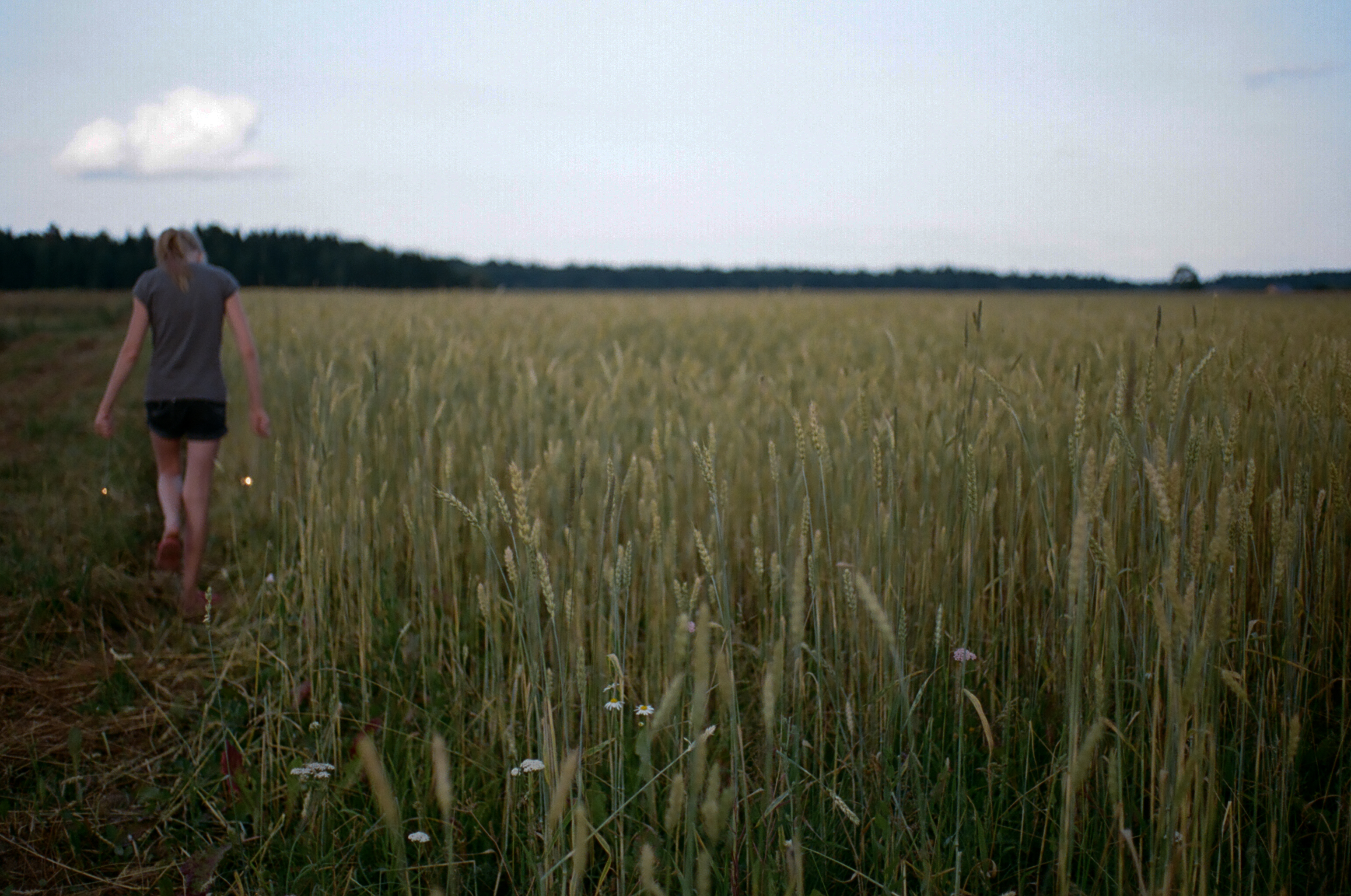
Cloud

Crops

Easy

Mila Kachurovskaya

Liquid light

Lina Brigita

Love, ducks and strange places

Hanging out

Ready 2 go

Flowered Poppy

Oh yes. I'm the most important.

Flowers are boring...
WP_20150607_22_25_45_Raw.jpg

Candy?

Layers of chill
Topographic Map of 52, Anciūnai, Lithuania
Find elevation by address:

Places near 52, Anciūnai, Lithuania:
Širvintos
Kiaukliai
Širvintos District Municipality
Šventupė
Melioratorių G. 20
Ukmergė
Ukmergė District Municipality
Žiedo G. 9
Pagojė
Anykščiai District Municipality
Anykščiai
Troškūnai
Vašuokėnai
Surdegis
Kaišiadorys
Raguvėlė
Gaižūnai
Jonava District Municipality
Kaišiadorys District Municipality
Jonava
Recent Searches:
- Elevation of Corso Fratelli Cairoli, 35, Macerata MC, Italy
- Elevation of Tallevast Rd, Sarasota, FL, USA
- Elevation of 4th St E, Sonoma, CA, USA
- Elevation of Black Hollow Rd, Pennsdale, PA, USA
- Elevation of Oakland Ave, Williamsport, PA, USA
- Elevation of Pedrógão Grande, Portugal
- Elevation of Klee Dr, Martinsburg, WV, USA
- Elevation of Via Roma, Pieranica CR, Italy
- Elevation of Tavkvetili Mountain, Georgia
- Elevation of Hartfords Bluff Cir, Mt Pleasant, SC, USA