Elevation of - th Ave, Morley, MI, USA
Location: United States > Michigan > Mecosta County > Deerfield Township > Morley >
Longitude: -85.3529026
Latitude: 43.5190727
Elevation: 304m / 997feet
Barometric Pressure: 0KPa
Related Photos:
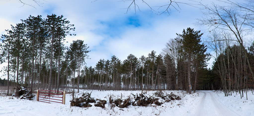
Back Road

Finally...Blue Skys

Watermelon Shooter
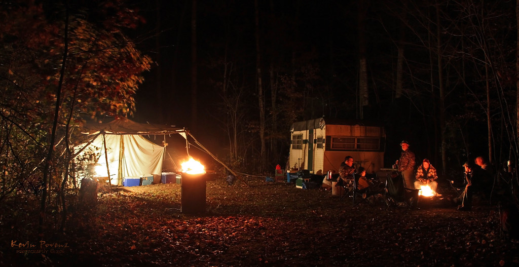
Hunting Camp
Driving across the state to Linwood. #1hourdown2togo

"Autumn's Quiescence"
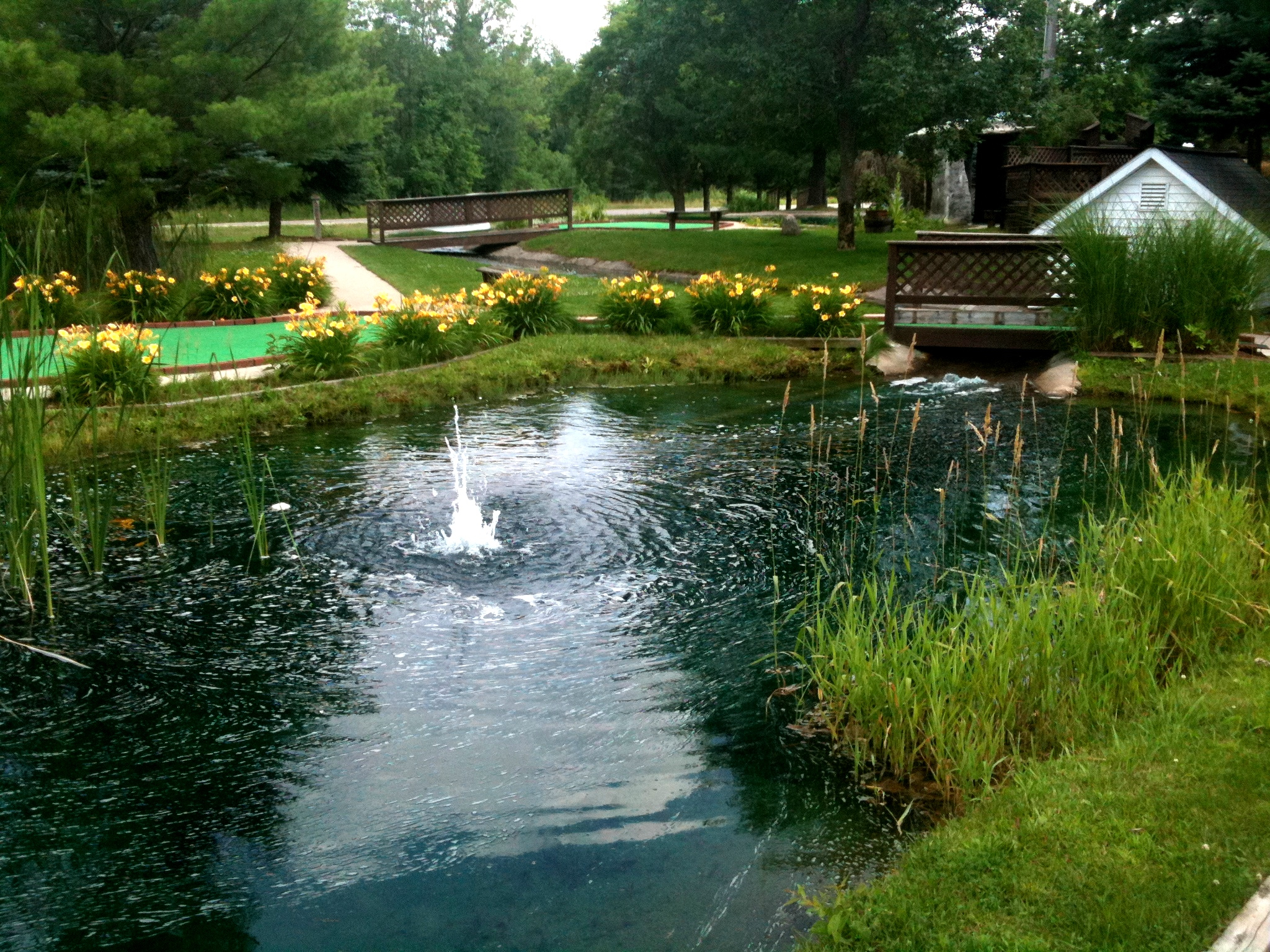
Minigolf nearby

Trail through the pines
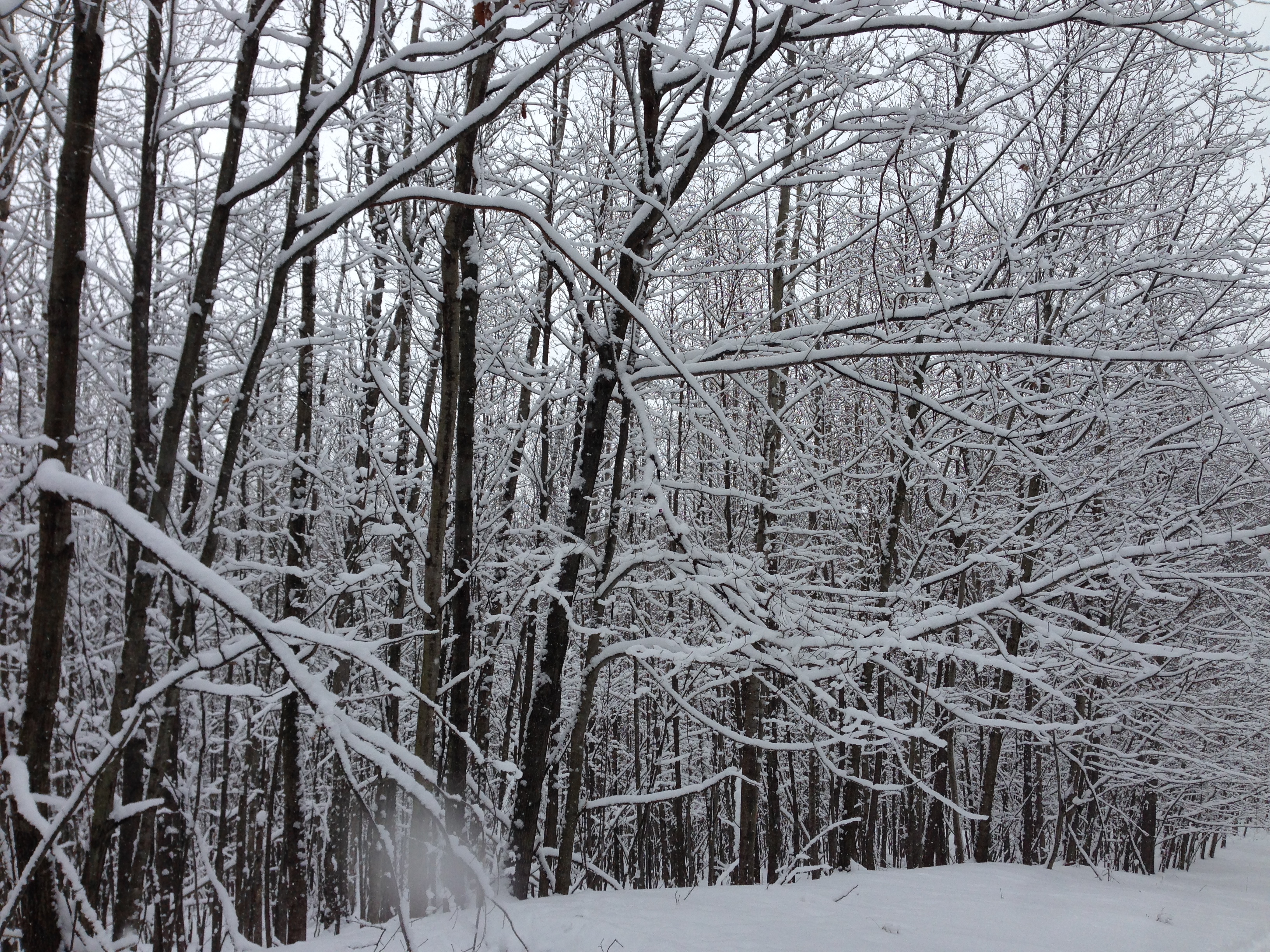
New snow

Hunting Tent
I found more deep snow today

Scottish Highland Calves

Lake of the Clouds
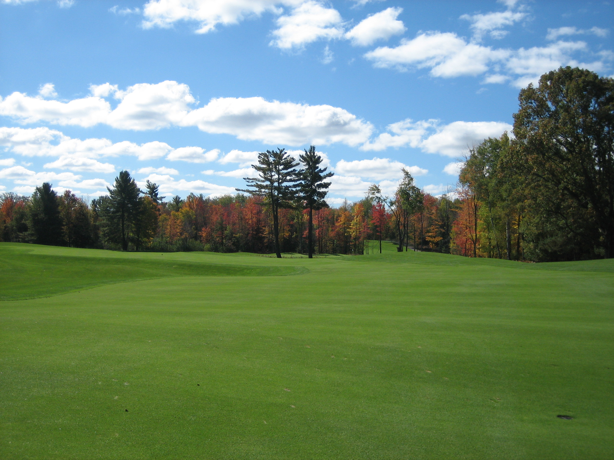
Tullymore Golf Course

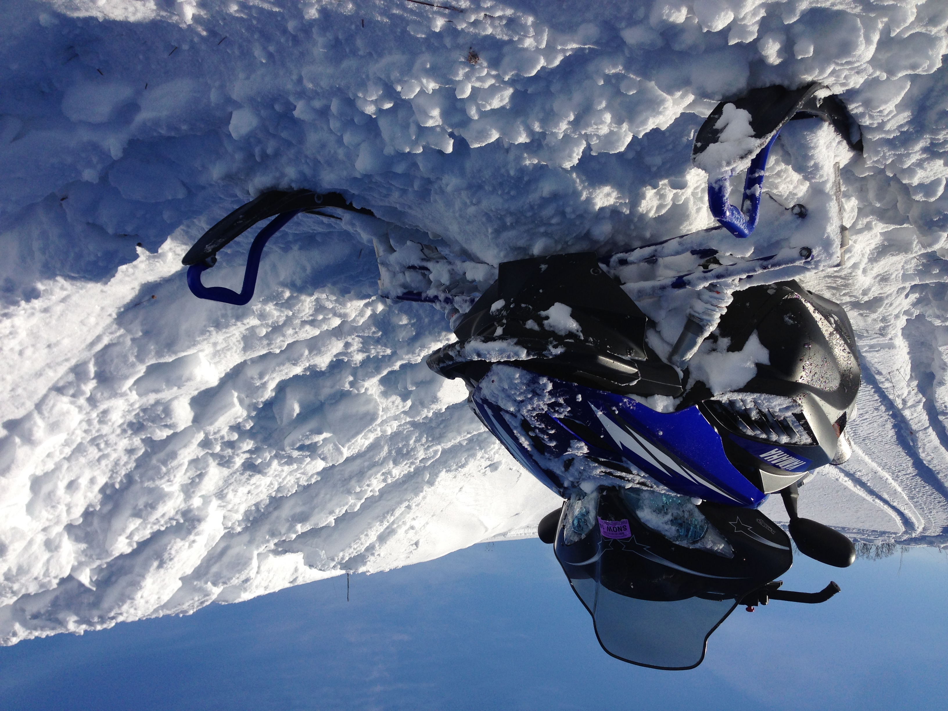
Making new trails
Topographic Map of - th Ave, Morley, MI, USA
Find elevation by address:

Places near - th Ave, Morley, MI, USA:
Deerfield Township
3840 170th Ave
Canadian Lakes
Morley
Hinton Township
5 Mile Rd, Mecosta, MI, USA
Howard City
Reynolds Township
Green Acres Farm
Diane St, White Cloud, MI, USA
8120 Knight Dr
Grand St, Pierson, MI, USA
22778 W Wood Lake Rd
Spencer Township
Montcalm County
Big Prairie Township
Blanchard
7005 E 56th St
Sand Lake
48 W Lake St, Sand Lake, MI, USA
Recent Searches:
- Elevation of Pasing, Munich, Bavaria, 81241, Germany
- Elevation of 24, Auburn Bay Crescent SE, Auburn Bay, Calgary, Alberta, T3M 0A6, Canada
- Elevation of Denver, 2314, Arapahoe Street, Five Points, Denver, Colorado, 80205, USA
- Elevation of Community of the Beatitudes, 2924, West 43rd Avenue, Sunnyside, Denver, Colorado, 80211, USA
- Elevation map of Litang County, Sichuan, China
- Elevation map of Madoi County, Qinghai, China
- Elevation of 3314, Ohio State Route 114, Payne, Paulding County, Ohio, 45880, USA
- Elevation of Sarahills Drive, Saratoga, Santa Clara County, California, 95070, USA
- Elevation of Town of Bombay, Franklin County, New York, USA
- Elevation of 9, Convent Lane, Center Moriches, Suffolk County, New York, 11934, USA
- Elevation of Saint Angelas Convent, 9, Convent Lane, Center Moriches, Suffolk County, New York, 11934, USA
- Elevation of 131st Street Southwest, Mukilteo, Snohomish County, Washington, 98275, USA
- Elevation of 304, Harrison Road, Naples, Cumberland County, Maine, 04055, USA
- Elevation of 2362, Timber Ridge Road, Harrisburg, Cabarrus County, North Carolina, 28075, USA
- Elevation of Ridge Road, Marshalltown, Marshall County, Iowa, 50158, USA
- Elevation of 2459, Misty Shadows Drive, Pigeon Forge, Sevier County, Tennessee, 37862, USA
- Elevation of 8043, Brightwater Way, Spring Hill, Williamson County, Tennessee, 37179, USA
- Elevation of Starkweather Road, San Luis, Costilla County, Colorado, 81152, USA
- Elevation of 5277, Woodside Drive, Baton Rouge, East Baton Rouge Parish, Louisiana, 70808, USA
- Elevation of 1139, Curtin Street, Shepherd Park Plaza, Houston, Harris County, Texas, 77018, USA