Elevation of Canadian Lakes, MI, USA
Location: United States > Michigan > Mecosta County > Morton Township >
Longitude: -85.301702
Latitude: 43.5791944
Elevation: 297m / 974feet
Barometric Pressure: 98KPa
Elevation Map:
Satellite Map:
Related Photos:

Yeah yeah the obligatory picture of the Little Muskegon River, every tourist up here needs the same picture and so do I.
FALL ON SCHOOL SECTION LAKE

Back Road
view of camp

Fill er Up Remus

view from dock

view from the camp bridge

swamp view of camp

Brown Hooded Owlet moth caterpillar

our swamp

holy view

Lady's thumb?

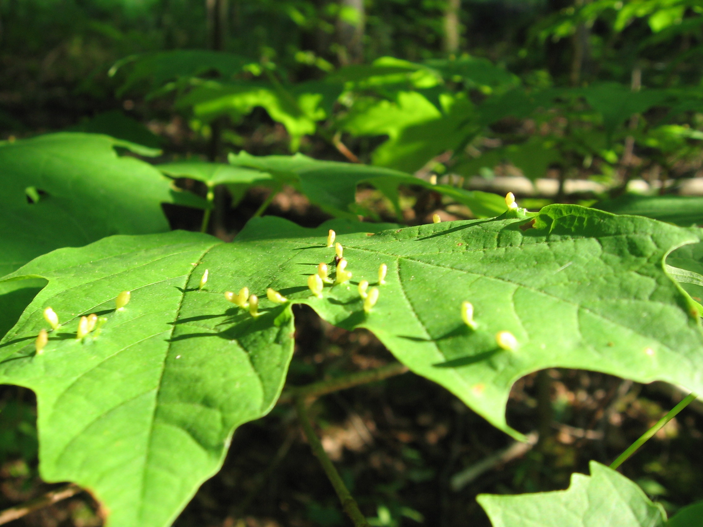
Tiny puffballs!

yard, view from above

"Autumn's Quiescence"

Minigolf nearby

Tullymore Golf Course
Fog rolling in
beaver dam winter

Lake of the Clouds

Jackie Swims

dock winter

Paula and Mark's beautiful landscaping

daisies! (i win)

the backyard
eggs from spaaaaace!

Lots of work pays off
Topographic Map of Canadian Lakes, MI, USA
Find elevation by address:

Places in Canadian Lakes, MI, USA:
Places near Canadian Lakes, MI, USA:
5 Mile Rd, Mecosta, MI, USA
Hinton Township
3168-3172
Deerfield Township
3840 170th Ave
Morley
Blanchard
Howard City
Reynolds Township
Broomfield
Rolland Township
Diane St, White Cloud, MI, USA
Green Acres Farm
Home Township
Montcalm County
1897 Edgar Rd
8120 Knight Dr
Edmore
Grand St, Pierson, MI, USA
22778 W Wood Lake Rd
Recent Searches:
- Elevation of Corso Fratelli Cairoli, 35, Macerata MC, Italy
- Elevation of Tallevast Rd, Sarasota, FL, USA
- Elevation of 4th St E, Sonoma, CA, USA
- Elevation of Black Hollow Rd, Pennsdale, PA, USA
- Elevation of Oakland Ave, Williamsport, PA, USA
- Elevation of Pedrógão Grande, Portugal
- Elevation of Klee Dr, Martinsburg, WV, USA
- Elevation of Via Roma, Pieranica CR, Italy
- Elevation of Tavkvetili Mountain, Georgia
- Elevation of Hartfords Bluff Cir, Mt Pleasant, SC, USA