Elevation of 98 Pine Bluff Blvd E, Kingsland, GA, USA
Location: United States > Georgia > Camden County > Kingsland >
Longitude: -81.655451
Latitude: 30.7570543
Elevation: 6m / 20feet
Barometric Pressure: 101KPa
Elevation Map:
Satellite Map:
Related Photos:
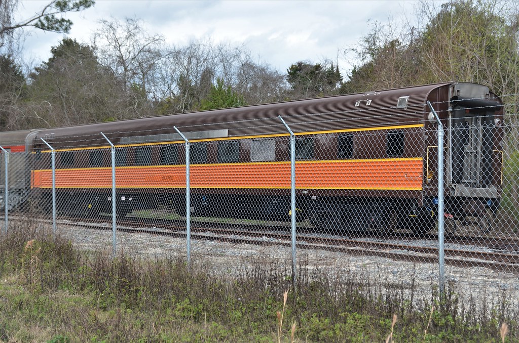
Chicago, Burlington & Quincy Railroad No. 402, California Zephyr, "Silver Larch," Private Car No. 800728, Georgia, St. Marys (4,178)

Fox Sparrow (Red)

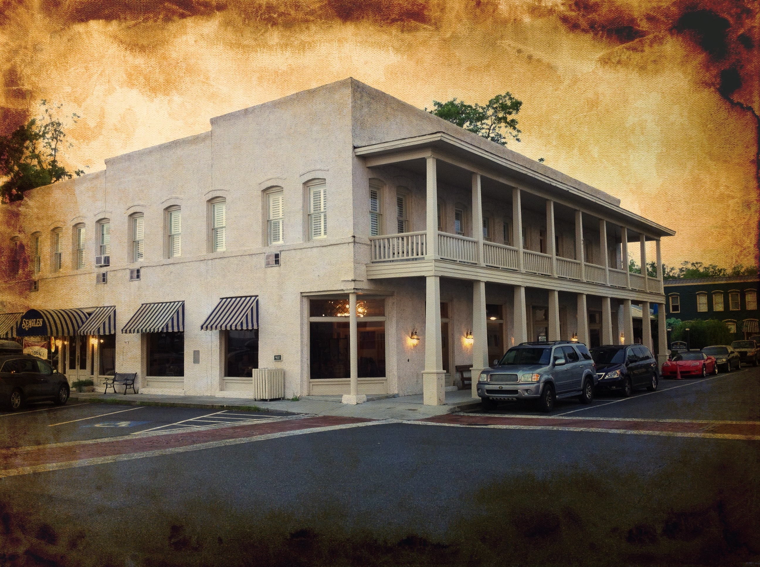
St. Marys, Georgia

DON'T FORGET THE SOUVENIRS

BORDER MOTEL

We're Glad Georgia's On Your Mind

Fox Sparrow (Red)

Grasshopper Sparrow

Grasshopper Sparrow

Deeper than Any Forest Primeval...
River View Hotel

View from St. Marys Steam Express

Emma's Bed and Breakfast, St. Marys, GA

Emma's Bed and Breakfast, St. Marys, GA

Entering Florida

Time for hydration--again!

Entering Florida

Our last state--now to bike the length of FL--Tropical storm on the way...

Our 4th state in as many days

Last northbound run across the Marshes

A Good Sunday
Florida from Georgia

St Mary's Steam Express

Salt Life

St. Andrews Sound - southern end of Cumberland Island (Georgia) on the left, and northern end of Amelia Island, Florida on the right, with the St. Mary's River flowing out to the sea between them

20160711 003100 1SL6

2018-08-29_10-50-18

St Mary's GA 2016
Sunset 3 Crooked River SP

Sunset 1 Crooked River SP

Sunset 2 Crooked River SP

Summer Lightning

Marsh 3 Crooked River SP

Crooked River 3 St Mary's GA

Marsh 1 Crooked River SP

Marsh 2 Crooked River SP
Topographic Map of 98 Pine Bluff Blvd E, Kingsland, GA, USA
Find elevation by address:

Places near 98 Pine Bluff Blvd E, Kingsland, GA, USA:
230 Pine Bluff Dr
1602 Sandpiper Ct
1401 Tanager Trail
288 Osprey Cir
1419 Tanager Trail
295 Osprey Cir
299 Osprey Cir
316 Osprey Cir
Osprey Circle
317 Osprey Cir
330 Osprey Cir
220 Osprey Cir
612 Red Cedar Ln
603 Red Cedar Ln
204 Osprey Cir
230 Cardinal Cir W
410 Morning Glory Rd
237 Cardinal Cir W
101 Osprey Dr
US-17, Yulee, FL, USA
Recent Searches:
- Elevation of Corso Fratelli Cairoli, 35, Macerata MC, Italy
- Elevation of Tallevast Rd, Sarasota, FL, USA
- Elevation of 4th St E, Sonoma, CA, USA
- Elevation of Black Hollow Rd, Pennsdale, PA, USA
- Elevation of Oakland Ave, Williamsport, PA, USA
- Elevation of Pedrógão Grande, Portugal
- Elevation of Klee Dr, Martinsburg, WV, USA
- Elevation of Via Roma, Pieranica CR, Italy
- Elevation of Tavkvetili Mountain, Georgia
- Elevation of Hartfords Bluff Cir, Mt Pleasant, SC, USA