Elevation of Tanager Trail, St Marys, GA, USA
Location: United States > Georgia > Camden County > Saint Marys >
Longitude: -81.630586
Latitude: 30.7489118
Elevation: 6m / 20feet
Barometric Pressure: 101KPa
Elevation Map:
Satellite Map:
Related Photos:

Foggy morning on the St Marys River

Two Generations Of Steel

Grave at Sunset
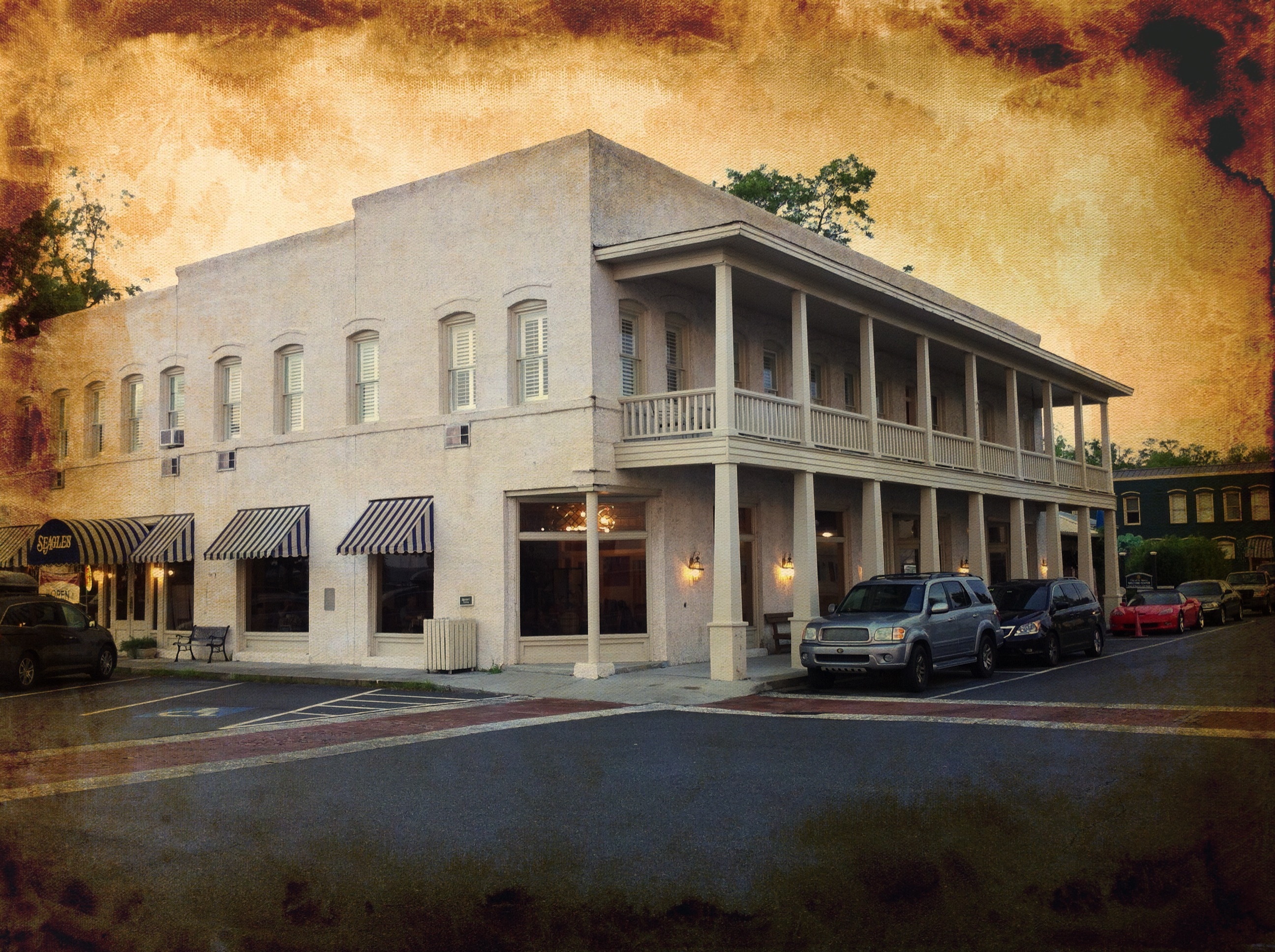
River View Hotel

DON'T FORGET THE SOUVENIRS

St. Marys, Georgia

View from St. Marys Steam Express
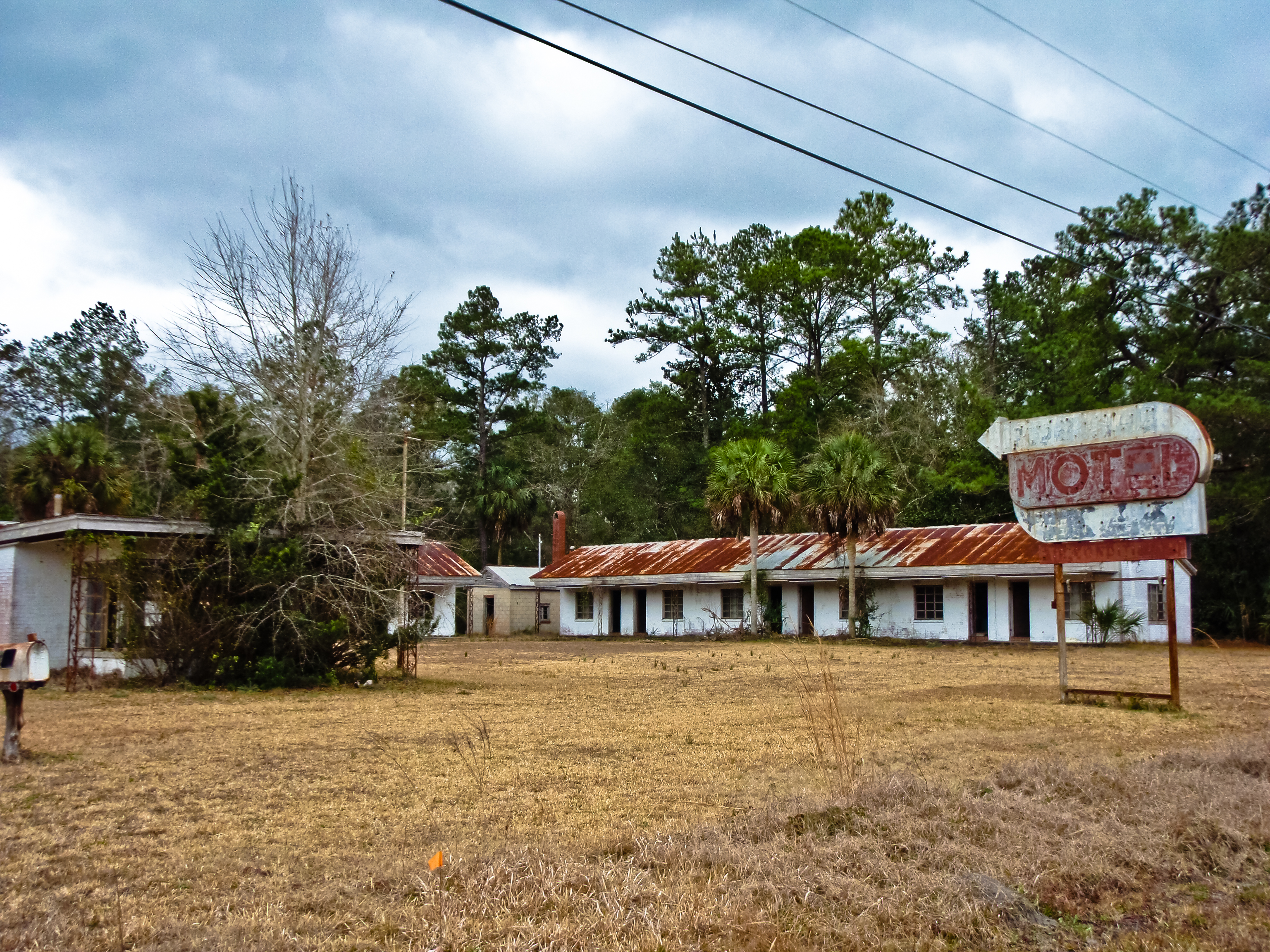
BORDER MOTEL

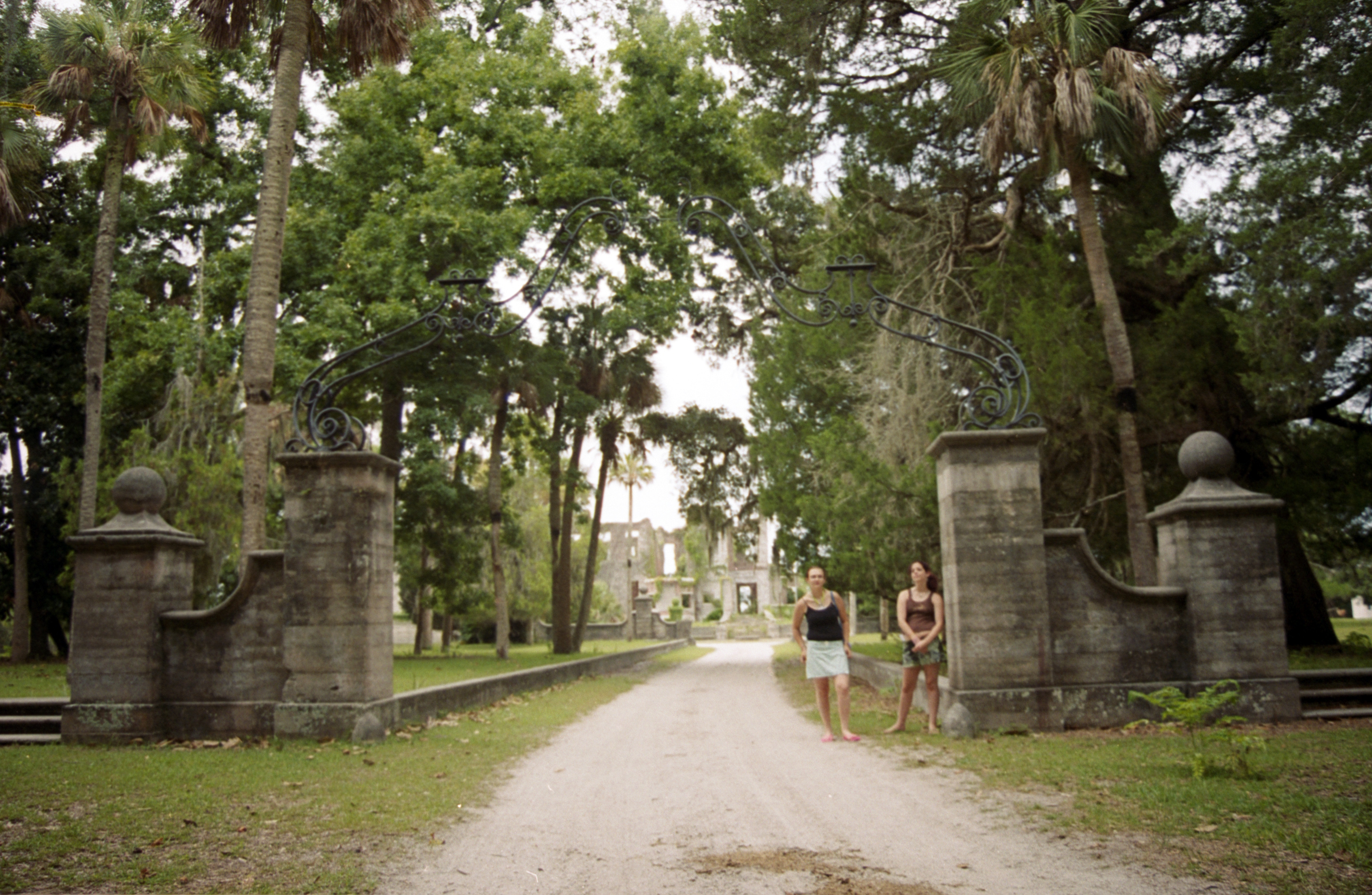
Day 1, Cumberland Island
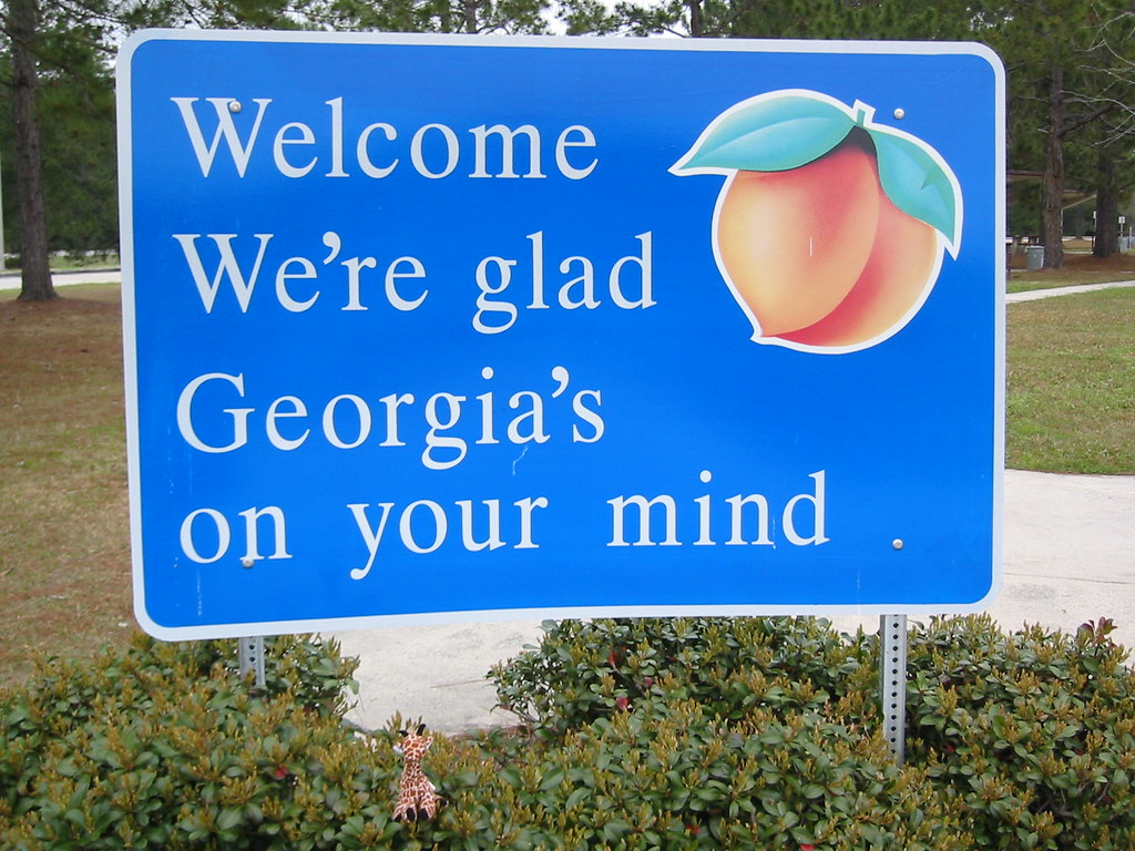
We're Glad Georgia's On Your Mind
Day 1, Cumberland Island

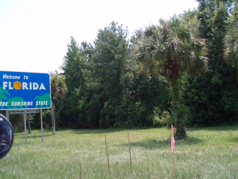
Entering Florida

Day 1, Cumberland Island
Day 1, Cumberland Island
Sea Camp Dock View
Day 1, Cumberland Island
Emma's Bed and Breakfast, St. Marys, GA

Entering Florida
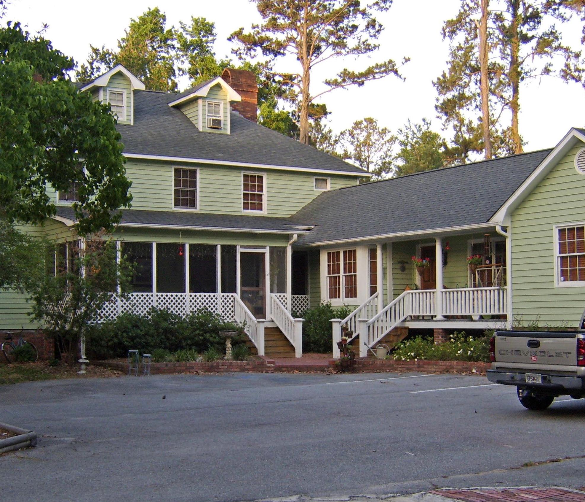
Emma's Bed and Breakfast, St. Marys, GA
Laura and Cat
Our 4th state in as many days

Last northbound run across the Marshes

A Good Sunday

Road to Dungeness, Cumberland Island, Georgia

Like a Dream

St Marys River
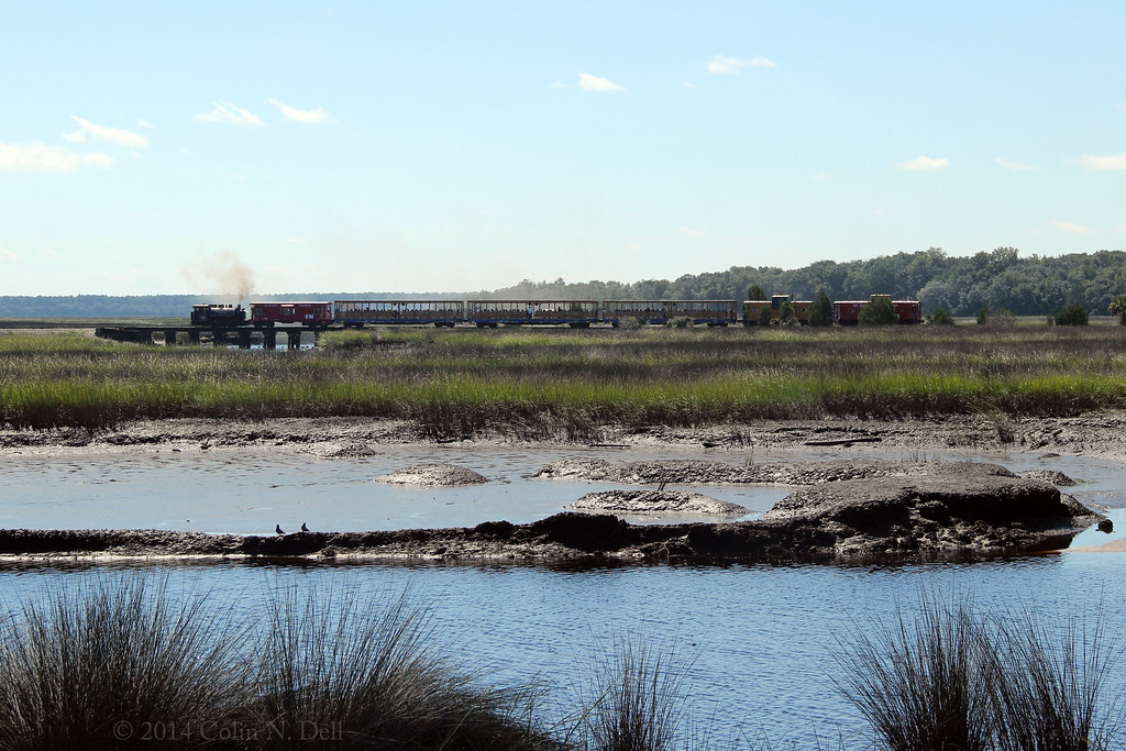
St Mary's Steam Express

Saturday Morning

Sunrise drone shot
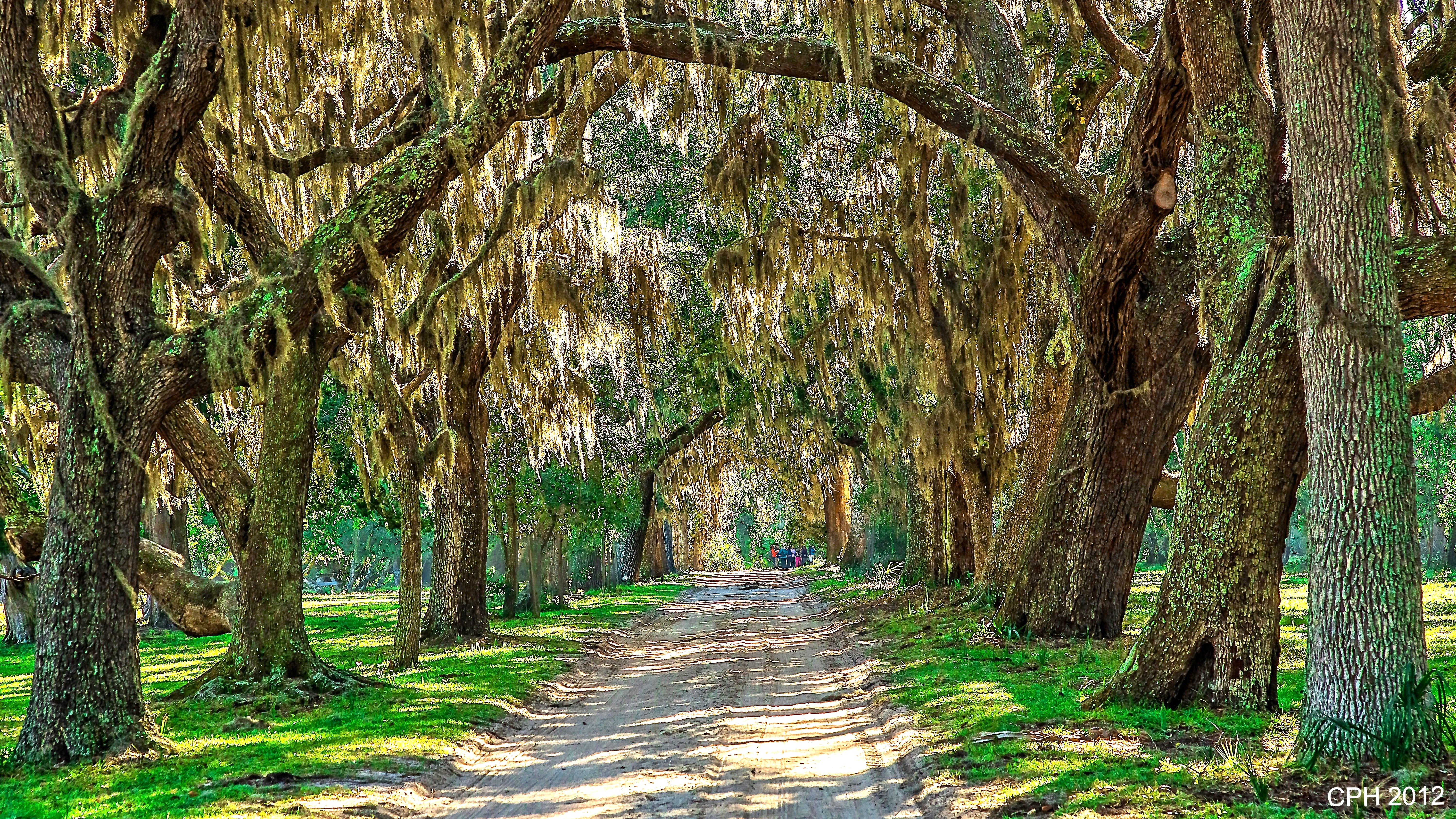
465) St Marys GA, Cumberland Island - Coleman Avenue - tree canopy leading to Grand Avenue [408]
Kings Bay Submarine Base

Saint Marys sunset

Morning storm clods
Florida from Georgia
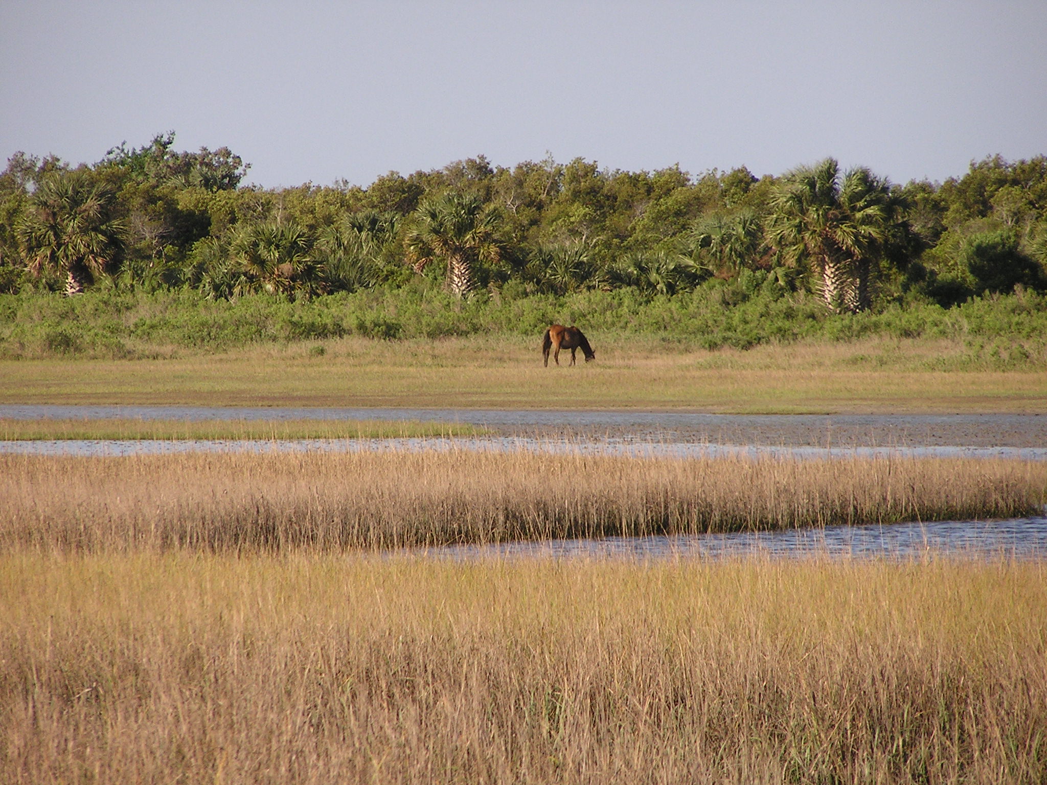
A few forest scenes.

Steel Truss Bridge (IR)

20140228-DSC_0007

Crooked River State Park 16
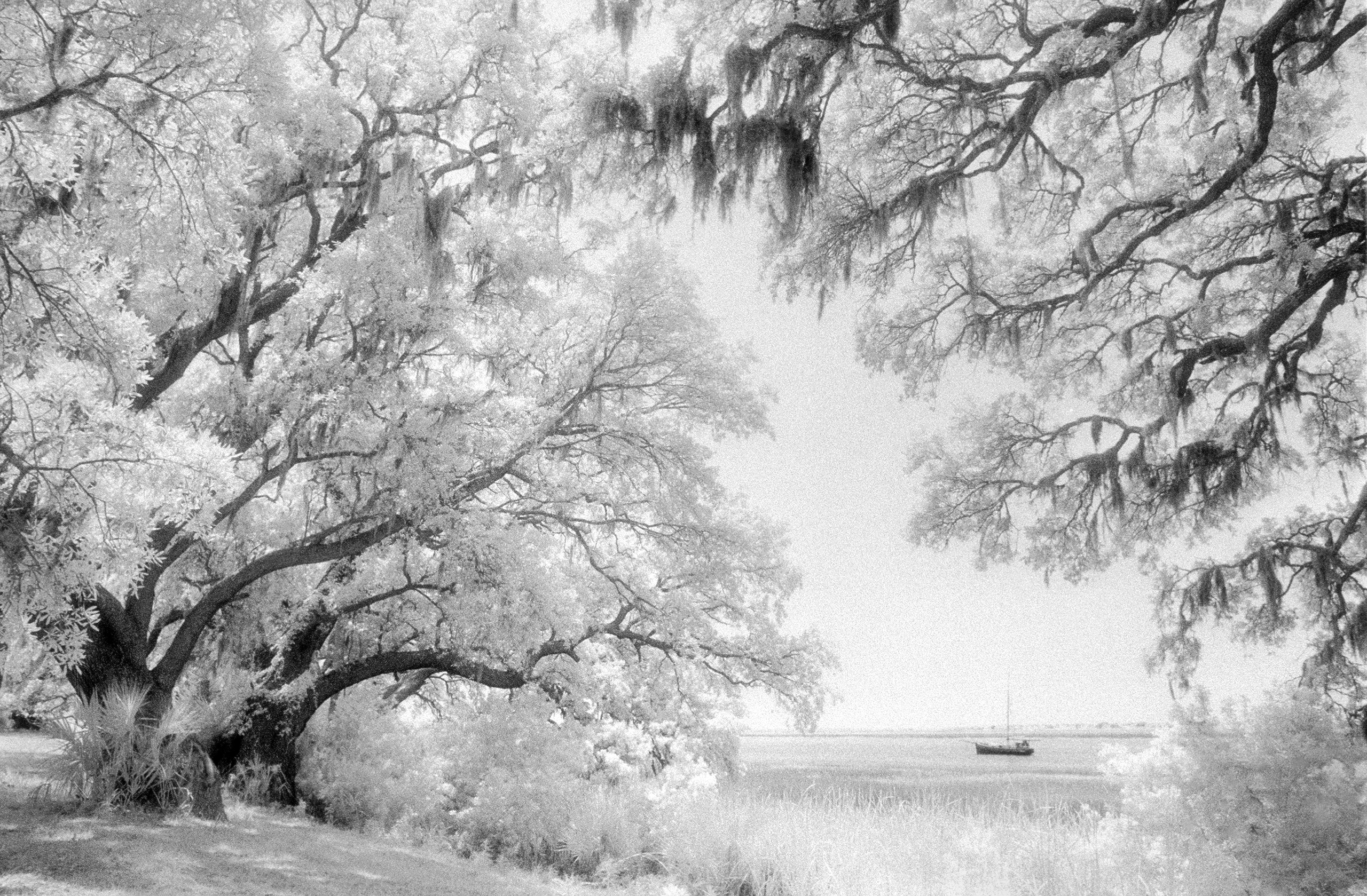
cumberland-bw1
#honeymoon #alissalovesjake #water
Cumberland Island
Topographic Map of Tanager Trail, St Marys, GA, USA
Find elevation by address:

Places near Tanager Trail, St Marys, GA, USA:
1419 Tanager Trail
1602 Sandpiper Ct
288 Osprey Cir
295 Osprey Cir
299 Osprey Cir
316 Osprey Cir
Osprey Circle
317 Osprey Cir
330 Osprey Cir
612 Red Cedar Ln
220 Osprey Cir
603 Red Cedar Ln
204 Osprey Cir
230 Cardinal Cir W
237 Cardinal Cir W
410 Morning Glory Rd
101 Osprey Dr
5 Sandhill Crane Dr
902 Larkspur Ln
30 Sandhill Crane Dr
Recent Searches:
- Elevation of Corso Fratelli Cairoli, 35, Macerata MC, Italy
- Elevation of Tallevast Rd, Sarasota, FL, USA
- Elevation of 4th St E, Sonoma, CA, USA
- Elevation of Black Hollow Rd, Pennsdale, PA, USA
- Elevation of Oakland Ave, Williamsport, PA, USA
- Elevation of Pedrógão Grande, Portugal
- Elevation of Klee Dr, Martinsburg, WV, USA
- Elevation of Via Roma, Pieranica CR, Italy
- Elevation of Tavkvetili Mountain, Georgia
- Elevation of Hartfords Bluff Cir, Mt Pleasant, SC, USA