Elevation of Osprey Dr, St Marys, GA, USA

Location: United States > Georgia > Camden County > Saint Marys >

Longitude: -81.611770

Latitude: 30.753466

Elevation: -10000m / -32808feet

Barometric Pressure: 295KPa

Elevation Map:

elevation map of Osprey Dr, St Marys, GA, USA

Satellite Map:

Satellite map of Osprey Dr, St Marys, GA, USA

Related Photos:

grass unitedstates florida fort bricks fernandinabeach clearsky fortclinchstatepark
Fort Clinch, Fernandina Beach
unitedstates florida fort cannon artillery guns fernandinabeach clearsky fortclinchstatepark
View of Interior, Fort Clinch
unitedstates florida fort bricks cannon guns fernandinabeach clearsky fortclinchstatepark
View of ramparts and parade ground, Fort Clinch
brick unitedstates florida fort barracks fernandinabeach clearsky fortclinchstatepark
Barracks, Fort Clinch, Florida
unitedstates florida fort bricks moat fernandinabeach clearsky fortclinchstatepark
Moat, Fort Clinch
ocean brick window fort atlanticocean fortclinch
ocean view from the fort
morning beach silhouette sunrise ga georgia dawn buds predawn atlanticocean cumberlandisland
the last to know
georgia island december cumberland 2010
Grave at Sunset
beach island fort fl clinchamelia flfernandina
A majestic view
fernandinabeach ameliaisland fortclinch
View entering the Parade Grounds
georgia hotel riverview stmarys
River View Hotel
beach island fort fl clinchamelia flfernandina
Soldiers quarters
Cumberland Sound View From Fort Clinch
georgia stmarys yulee florida unitedstates
View from St. Marys Steam Express
usa georgia signage restarea kingsland topviewed
We're Glad Georgia's On Your Mind
Claude-Marie Ferrier - Cottage, Hameau de la Reine, Versailes, 1852-54
trees green nature fairytale forest nps hiking backpacking maritime liveoak vegetation gnarly verdant lush backpacker cumberlandisland twisty georgiacoast enchantedwoods cumberlandislandnationalseashore walkintothewater
step into the light
florida gimp hdr luminance hugin equirectangular enfuse leicasuperelmarm18mmf38 leicamtype240
Amelia Island
abandoned geotagged motel americana fl roadside 2010 souveniers geo:lat=30735911 geo:lon=81687889
DON'T FORGET THE SOUVENIRS
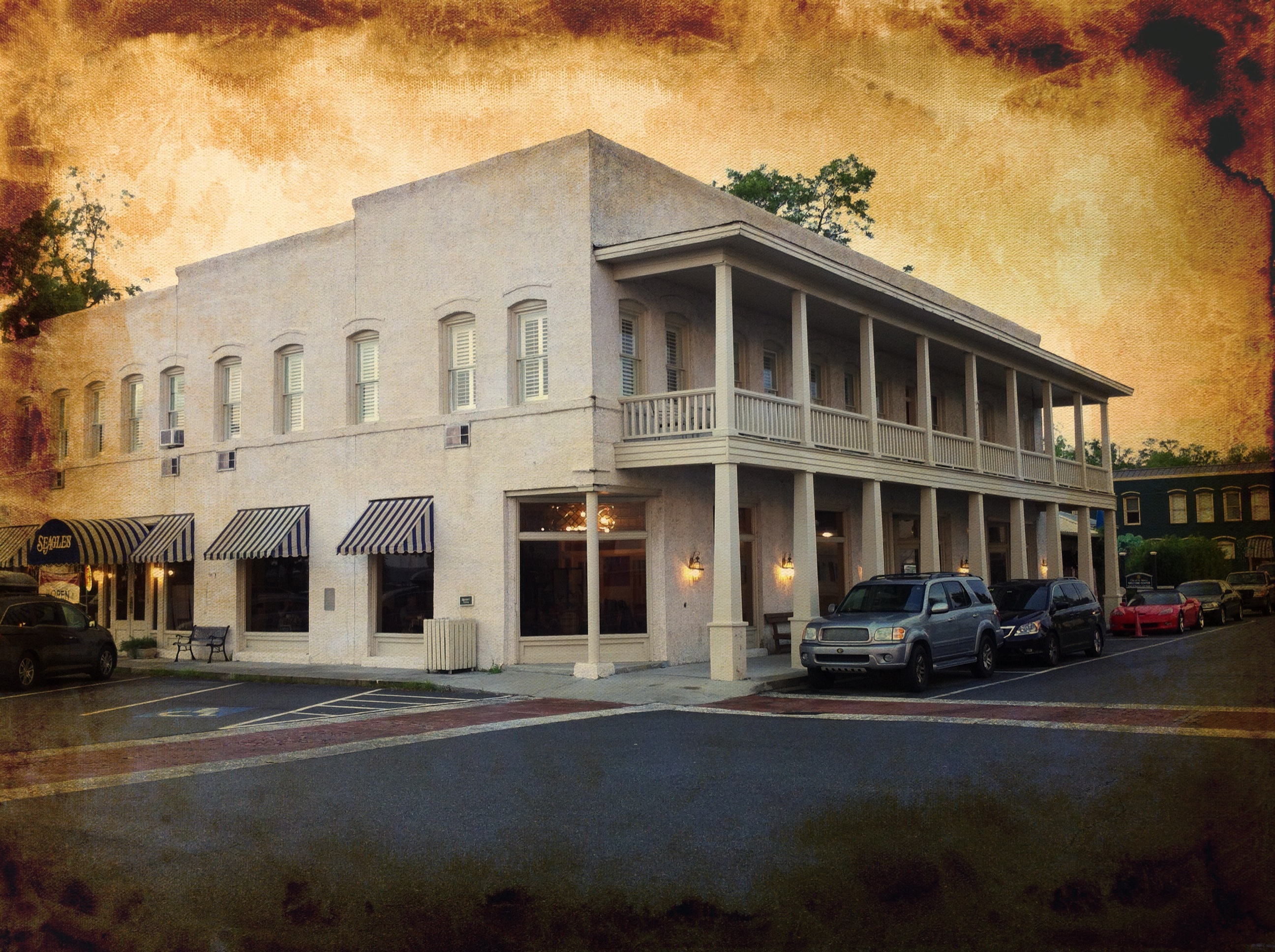
usa ga georgia us unitedstates airports aerials stmarys northriver stmarysriver camdencounty stmarysga may262007 05262007 northr northrivergeorgia northriverga
St. Marys, Georgia
abandoned sign geotagged motel palmtree fl roadside 2010 geo:lat=30735911 geo:lon=81687889
BORDER MOTEL
Think of...
park blue sea green beach st river island rocks state florida fort north clean lettuce marys tugboat amelia algae campground pops hdr fernandina topaz clinch ulva
Sea Lettuce
road travel blackandwhite usa house history tourism home georgia photography photo ruins unitedstates image path queenanne picture location tourist historic photograph spanishmoss destination dungeness goldenage mansion saintmarys bandw oaktree cumberlandisland attraction carnegie oaktrees seaisland seaislands barrierisland treelinedroad cumberlandislandnationalseashore dungenessruins thomasmcarnegie dungenessinruins cumberlandislandphoto cumberlandislandphotograph
Road to Dungeness, Cumberland Island, Georgia
hdr trees roots ballaststones discarded ameliaisland fortclinchstatepark ameliarivercampground northflorida sunset fernandina landscape easternredcedar
Rooted in history
sunset sea sunlight bird nature horizontal georgia outdoors photography sand day unitedstates cloudy seagull atlantic saintmarys atlanticocean cumberlandisland sunbeam lightbeams colorimage sunrisedawn seacampbeach posnov viktorposnov
Sea Camp Beach
morning beach sunrise rocks waves florida erosion boulders curve prevention hdr fernandinabeach ameliaisland stmarysriver cumberlandsound fortclinchstatepark
A gently curving beach and a pile of boulders.
usa reflection ir pentax infrared 2008 istds zoomlens stmarysriver dsir da1224 istdsir jrpq irwithmodifiedcamera
Steel Truss Bridge (IR)
road trees blackandwhite bw nature leaves landscape outdoors leaf oak unitedstates florida peaceful liveoak serenity spanishmoss serene winding curve relaxation tee fernandinabeach pathway liveoaks northflorida treelined ameliaisland floridastatepark sunshinestate nassaucounty fortclinch quercusvirginiana fortclinchstatepark floridastateparks southernliveoak northeastflorida plateauoak floridasfirstcoast plateauliveoak escarpmentliveoak bayliveoak scrubliveoak virginaliveoak
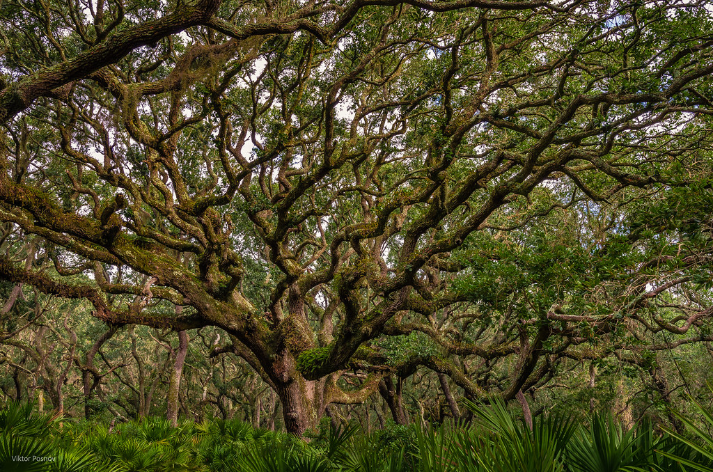
Fort Clinch Live Oaks, Amelia Island, Florida
carnegie dirtroad georgia journey landscapes majestic photography quercusvirginiana spanishmoss barrierisland brown cumberlandisland cumberlandislandnationalseashore dawnamoorephotography dawnamoorephotographycom fog foggy forest ga georgiasseaislands green image landscape liveoak liveoaktrees maritimeforest nature oaklinedroad oaktree oaktrees oaks palmettos path paththroughoaktrees pathway photo photograph picture seaisland seaislands travel twistedoaks woods saintmarys unitedstates us
Cumberland Island Maritime Forest, Cumberland Island, Georgia
blue carnegie georgia icm photography relaxation serene barrierisland beach blur coast coastal coastline cumberlandisland cumberlandislandnationalseashore cumberlandislandsunrise dawnamoorephotography dawnamoorephotographycom ga georgiasseaislands image intentionalcameramovement landscape longexposure motionblur peace peaceful photo photograph picture pink purple relaxing sea seaisland seaislands seascape serenity sunrise travel yellow saintmarys unitedstates us
Cumberland Sunrise, Cumberland Island, Georgia
Last northbound run across the Marshes
A Good Sunday
A few forest scenes.
Like a Dream
fernandinabeach florida unitedstates us
Port of Fernandina
georgia steam excursion stmarys streamlocomotive stmarysga leighvalley stmarysrailroad stmaryssteamexpress
St Mary's Steam Express
private cumberlandisland
20140228-DSC_0007
saintmarys georgia unitedstates cumberlandisland maritimeforest plant treeoflife viktorposnov deciduous evergreen flora forest landscape nature tree woods
Tree of Life