Elevation of 97 Lamb Ln, Ruffin, SC, USA
Location: United States > South Carolina > Colleton County >
Longitude: -80.772043
Latitude: 32.93376
Elevation: 27m / 89feet
Barometric Pressure: 101KPa
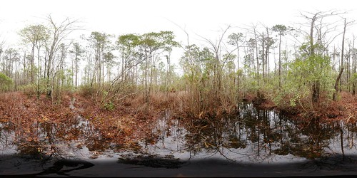
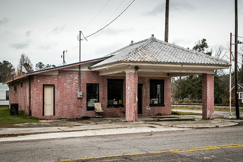
Related Photos:
Topographic Map of 97 Lamb Ln, Ruffin, SC, USA
Find elevation by address:

Places near 97 Lamb Ln, Ruffin, SC, USA:
762 State Rd S-15-379
384 Azalea Patch Rd
384 Azalea Patch Rd
384 Azalea Patch Rd
2000 Pine Grove Rd
2000 Pine Grove Rd
2000 Pine Grove Rd
Ruffin
405 Silverhill Rd
405 Silverhill Rd
405 Silverhill Rd
600 State St
Walterboro
214 Fishburne St
213 Colleton Loop
319 Warren St
Pyefield Lane
1236 Pyefield Ln
685 Cottonwood Ln
4796 Jefferies Hwy
Recent Searches:
- Elevation of Corso Fratelli Cairoli, 35, Macerata MC, Italy
- Elevation of Tallevast Rd, Sarasota, FL, USA
- Elevation of 4th St E, Sonoma, CA, USA
- Elevation of Black Hollow Rd, Pennsdale, PA, USA
- Elevation of Oakland Ave, Williamsport, PA, USA
- Elevation of Pedrógão Grande, Portugal
- Elevation of Klee Dr, Martinsburg, WV, USA
- Elevation of Via Roma, Pieranica CR, Italy
- Elevation of Tavkvetili Mountain, Georgia
- Elevation of Hartfords Bluff Cir, Mt Pleasant, SC, USA

