Elevation of Ruffin, SC, USA
Location: United States > South Carolina > Colleton County >
Longitude: -80.815656
Latitude: 33.0046083
Elevation: 22m / 72feet
Barometric Pressure: 101KPa
Elevation Map:
Satellite Map:
Related Photos:

Crosby Oxypolis Heritage Preserve (360° x 180° Panorama)
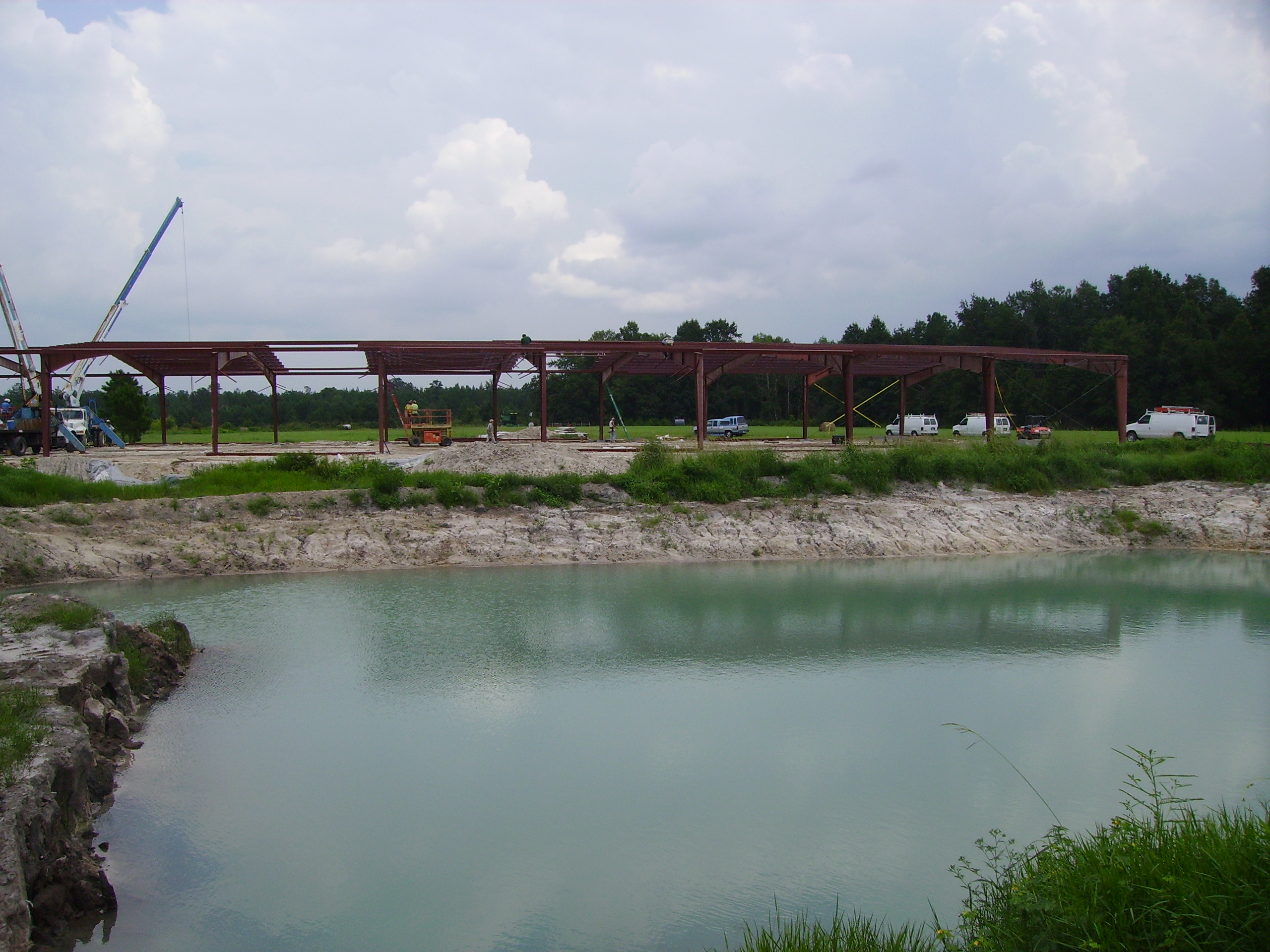
West View of Arena During Construction

West View of Arena During Construction

Old filling station - Ruffin, S.C.

Carex emmonsii (Emmons' sedge)

Carex emmonsii (Emmons' sedge)
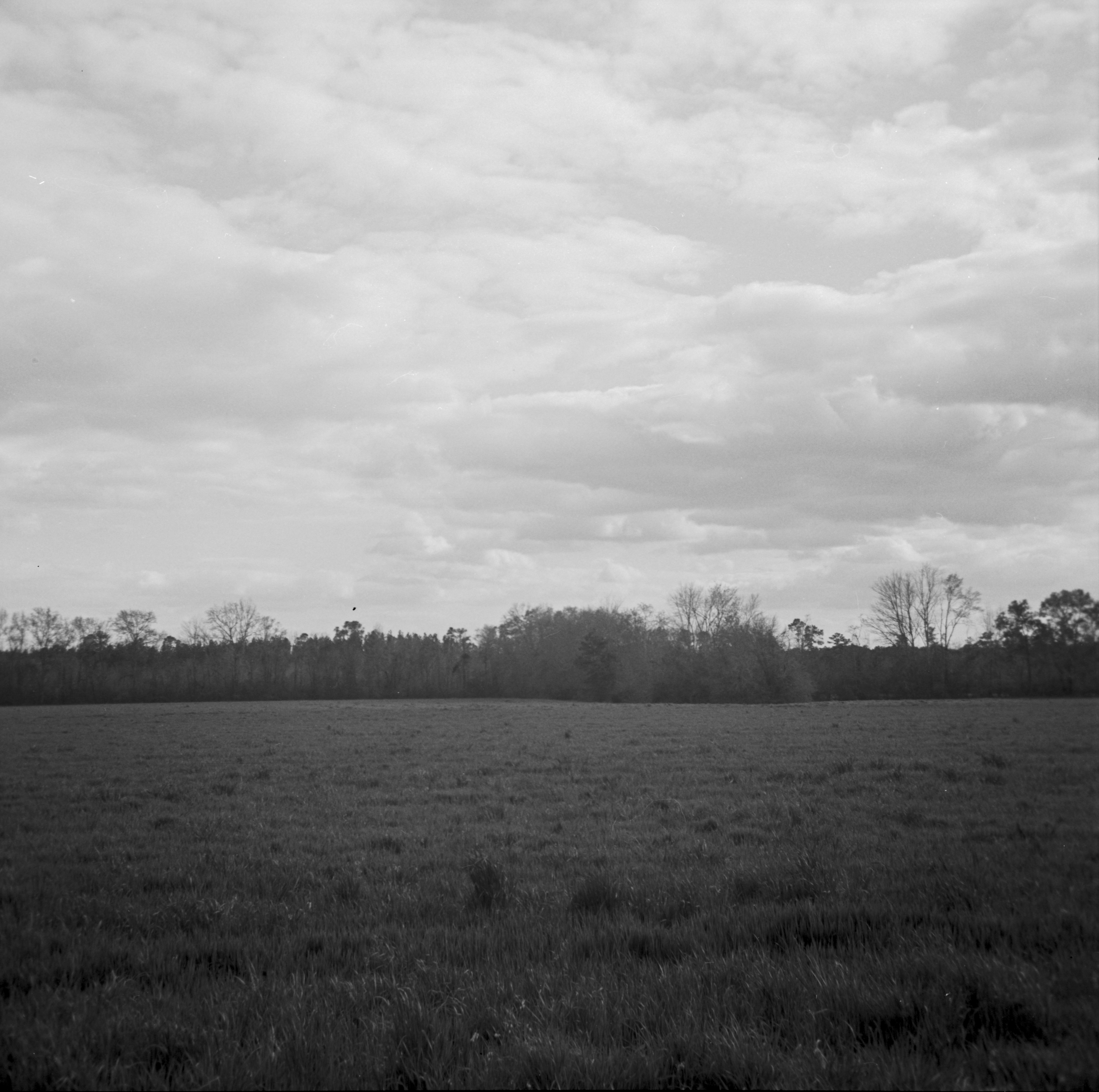
201303 Iford PanF 50 120format Scan-130327-0012

North Side of Arena (Pre-Construction)

Heading Out

West Side of Arena (Pre-Construction)

Johnsville Road

Southwest Side of Hay Field 1

Northwest Side of Hay Field 1
Topographic Map of Ruffin, SC, USA
Find elevation by address:

Places near Ruffin, SC, USA:
384 Azalea Patch Rd
384 Azalea Patch Rd
384 Azalea Patch Rd
97 Lamb Ln
2000 Pine Grove Rd
2000 Pine Grove Rd
2000 Pine Grove Rd
762 State Rd S-15-379
405 Silverhill Rd
405 Silverhill Rd
405 Silverhill Rd
600 State St
685 Cottonwood Ln
Walterboro
4796 Jefferies Hwy
Pyefield Lane
1236 Pyefield Ln
459 Cottonwood Ln
459 Cottonwood Ln
213 Colleton Loop
Recent Searches:
- Elevation of Corso Fratelli Cairoli, 35, Macerata MC, Italy
- Elevation of Tallevast Rd, Sarasota, FL, USA
- Elevation of 4th St E, Sonoma, CA, USA
- Elevation of Black Hollow Rd, Pennsdale, PA, USA
- Elevation of Oakland Ave, Williamsport, PA, USA
- Elevation of Pedrógão Grande, Portugal
- Elevation of Klee Dr, Martinsburg, WV, USA
- Elevation of Via Roma, Pieranica CR, Italy
- Elevation of Tavkvetili Mountain, Georgia
- Elevation of Hartfords Bluff Cir, Mt Pleasant, SC, USA