Elevation of 90 Jordans Rd, Amissville, VA, USA
| Latitude | 38.702489 |
|---|---|
| Longitude | -78.0445507 |
| Elevation | 171m / 561feet |
| Barometric Pressure | 993KPa |
Related Photos:

First Baptist Church, Little Washington, Rappahannock County, VA

Clermont, circa 1870, Hume Road, Hume, VA

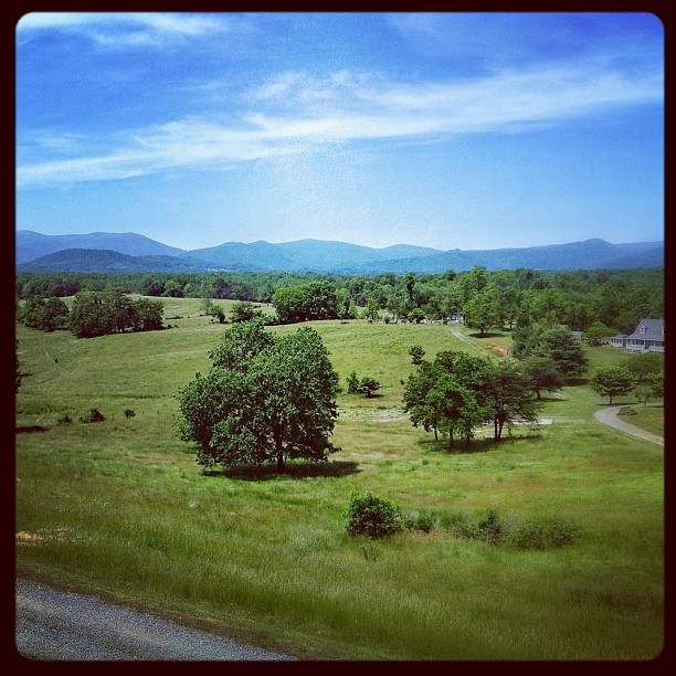
Blue Ridge Mountains

Old Rag & Mountains of Shenandoah

With a view

View from Red Oak Mountain

View Fro Fletsher Mill Road

Clermont, circa 1870, Hume Road, Hume, VA

Clermont, circa 1870, Hume Road, Hume, VA

View of the Moon From Hogwallow Flats Overlook

Kaonashi!

try to relax
View from mom's balcony

Marriott Ranch Interior -Joe 03

Flight to CHO - Panorama of Sky

Summer View From Hogwallow Flats Overlook

View of the Moon From Hogwallow Flats Overlook

Marriott Ranch -Joe 13

Unsettled Autumn morning

Marriott Ranch -Joe 14

Massies Corner July 2010

High Meadow Farm, circa 1780, Flint Hill, VA

Crossing the ford on Battle Run stream

Washington, VA HDR

The Rush River and Avon Mill, Little Washington, Rappahannock County, VA

Fauquier County, Va.

Agfa Ambi Silette

Agfa Ambi Silette

Agfa Ambi Silette
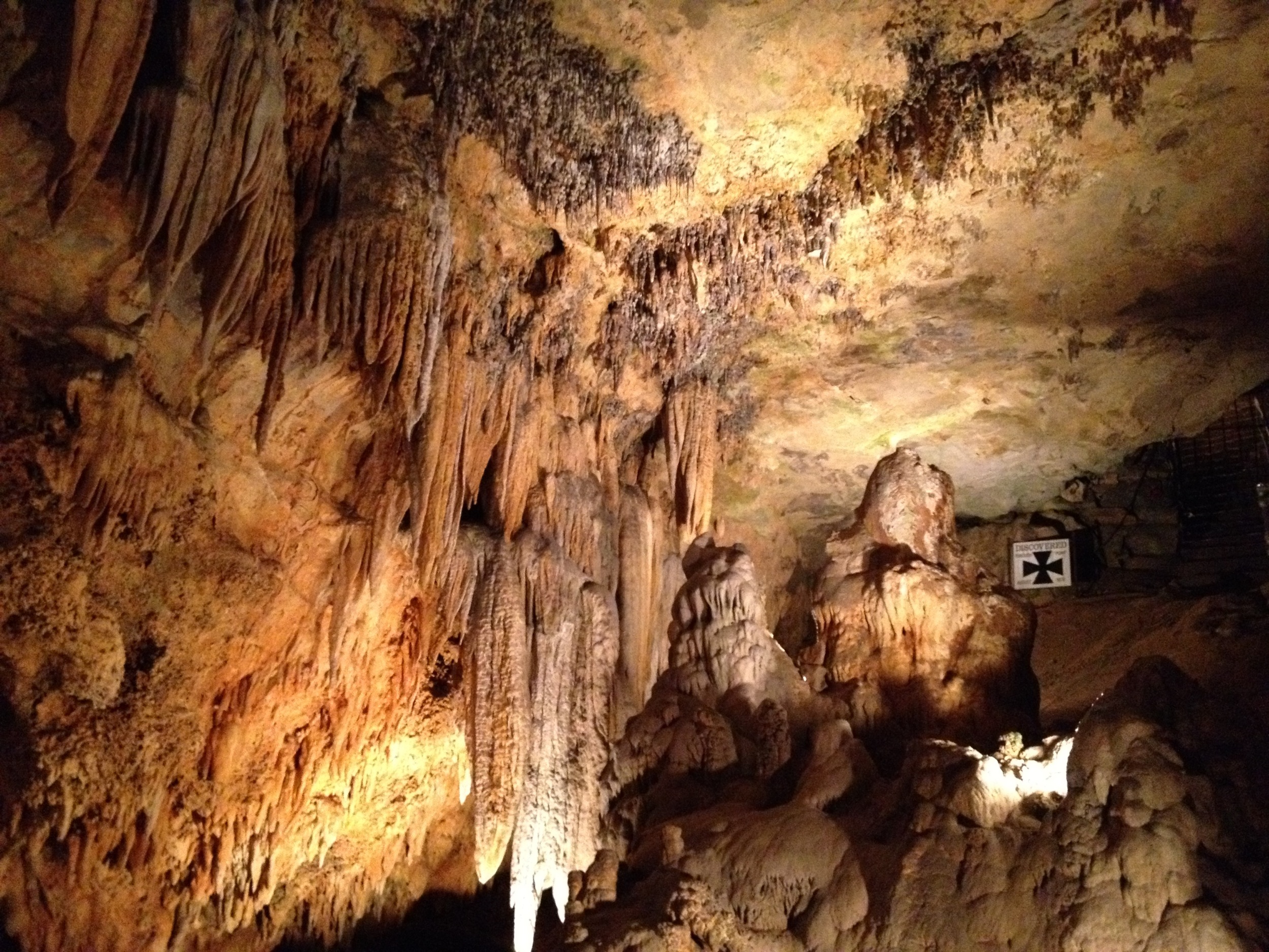
Luray Cavern

Fauquier County, Va.

Culpeper County, Va.

Agfa Ambi Silette

Fauquier County, Va.

Fauquier County, Va.

Sweet Greens : )

Hogwallow Flats Overlook Sunrise
Topographic Map of 90 Jordans Rd, Amissville, VA, USA
Find elevation by address:
Places near 90 Jordans Rd, Amissville, VA, USA:
Jackson
Chestnut Oak Lane
Narmada Winery
73 7 Ponds Rd
4 Four Springs Rd
Hungry Run Farm Lane
State Route 645
Gray Ghost Vineyards
60 Random Hills Ln
280 Hinson Ford Rd
Deerfield Lane
Crest Hill Rd, Hume, VA, USA
Rollins Ford Road
6009 Lake Sunset Ln
North Poes Road
North Poes Road
6844 Leeds Manor Rd
6517 Wincewood Dr
7426 Leeds Manor Rd
1225 Mary Brit Ln
Recent Searches:
- Elevation map of Central Hungary, Hungary
- Elevation map of Pest, Central Hungary, Hungary
- Elevation of Pilisszentkereszt, Pest, Central Hungary, Hungary
- Elevation of Dharamkot Tahsil, Punjab, India
- Elevation of Bhinder Khurd, Dharamkot Tahsil, Punjab, India
- Elevation of 2881, Chabot Drive, San Bruno, San Mateo County, California, 94066, USA
- Elevation of 10370, West 107th Circle, Westminster, Jefferson County, Colorado, 80021, USA
- Elevation of 611, Roman Road, Old Ford, Bow, London, England, E3 2RW, United Kingdom
- Elevation of 116, Beartown Road, Underhill, Chittenden County, Vermont, 05489, USA
- Elevation of Window Rock, Colfax County, New Mexico, 87714, USA
- Elevation of 4807, Rosecroft Street, Kempsville Gardens, Virginia Beach, Virginia, 23464, USA
- Elevation map of Matawinie, Quebec, Canada
- Elevation of Sainte-Émélie-de-l'Énergie, Matawinie, Quebec, Canada
- Elevation of Rue du Pont, Sainte-Émélie-de-l'Énergie, Matawinie, Quebec, J0K2K0, Canada
- Elevation of 8, Rue de Bécancour, Blainville, Thérèse-De Blainville, Quebec, J7B1N2, Canada
- Elevation of Wilmot Court North, 163, University Avenue West, Northdale, Waterloo, Region of Waterloo, Ontario, N2L6B6, Canada
- Elevation map of Panamá Province, Panama
- Elevation of Balboa, Panamá Province, Panama
- Elevation of San Miguel, Balboa, Panamá Province, Panama
- Elevation of Isla Gibraleón, San Miguel, Balboa, Panamá Province, Panama