Elevation of Mary Brit Ln, Amissville, VA, USA
Location: United States > Virginia > Culpeper County > Jefferson > Jeffersonton >
Longitude: -77.9413129
Latitude: 38.684265
Elevation: 156m / 512feet
Barometric Pressure: 0KPa
Related Photos:

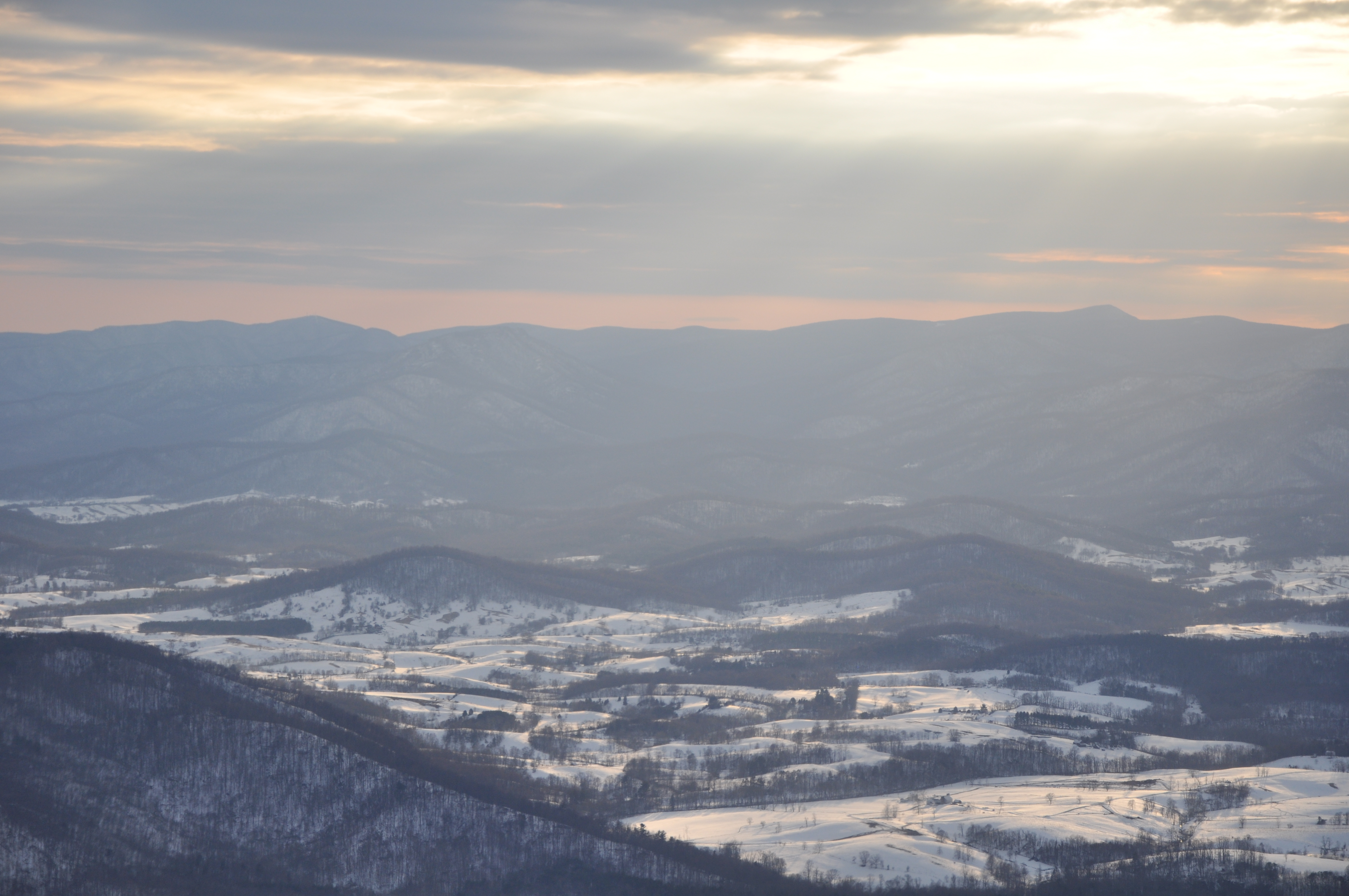
End of Night at Hazel Mountain Overlook

Former Centennial A&P - Warrenton, VA

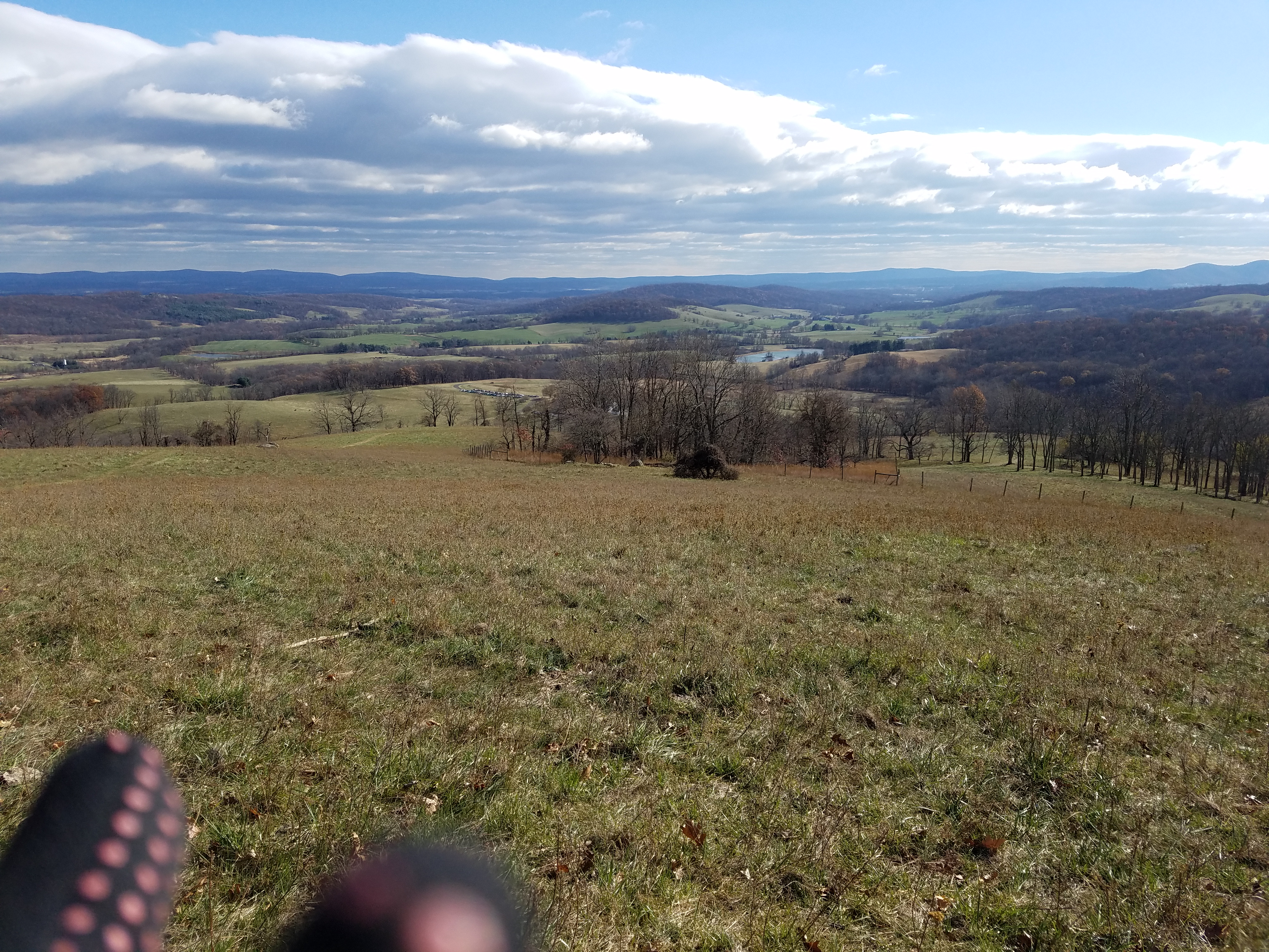
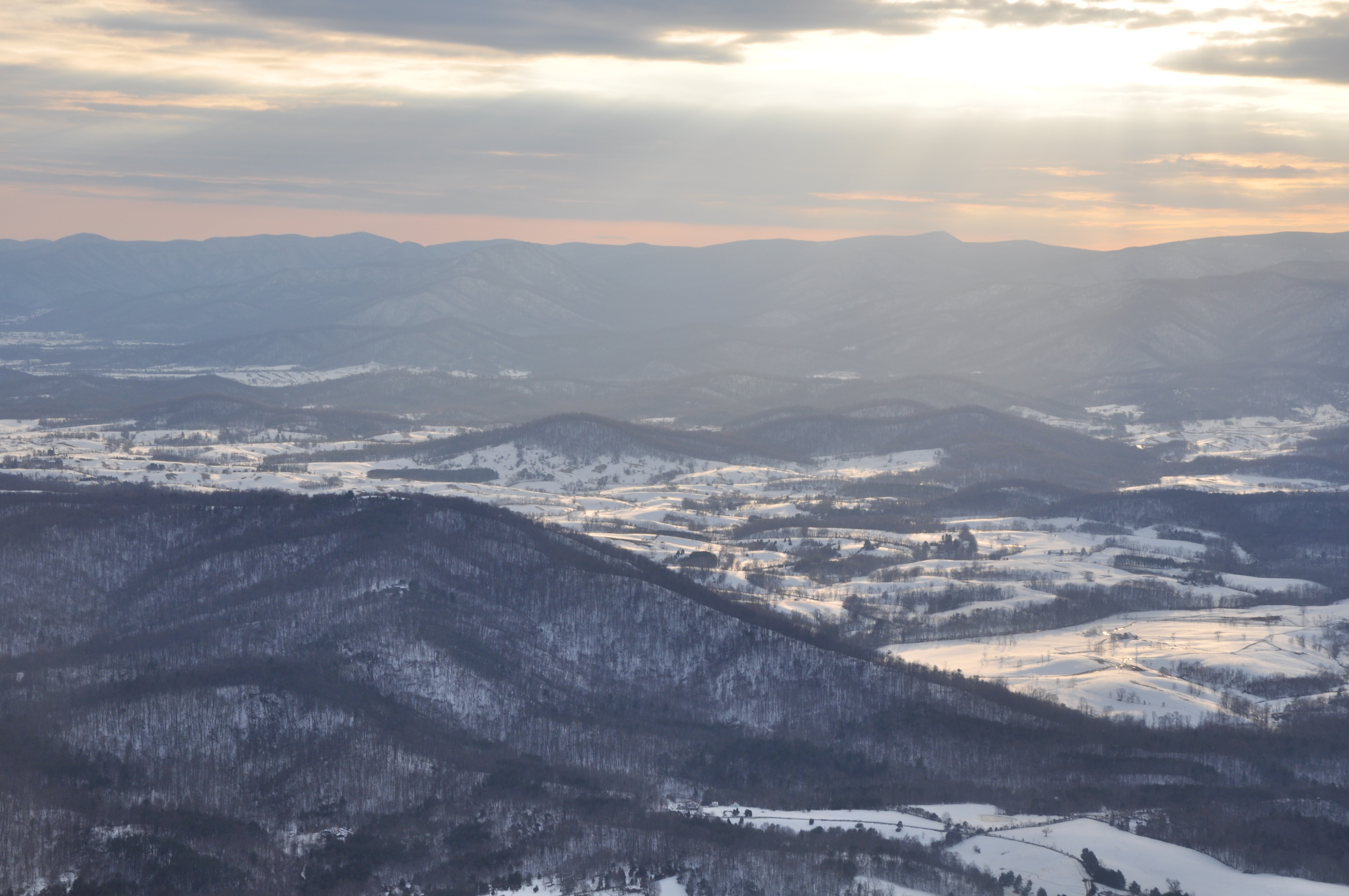
Distant Shenandoahs

T-6 air to air

Rayus C01 Logo Side View
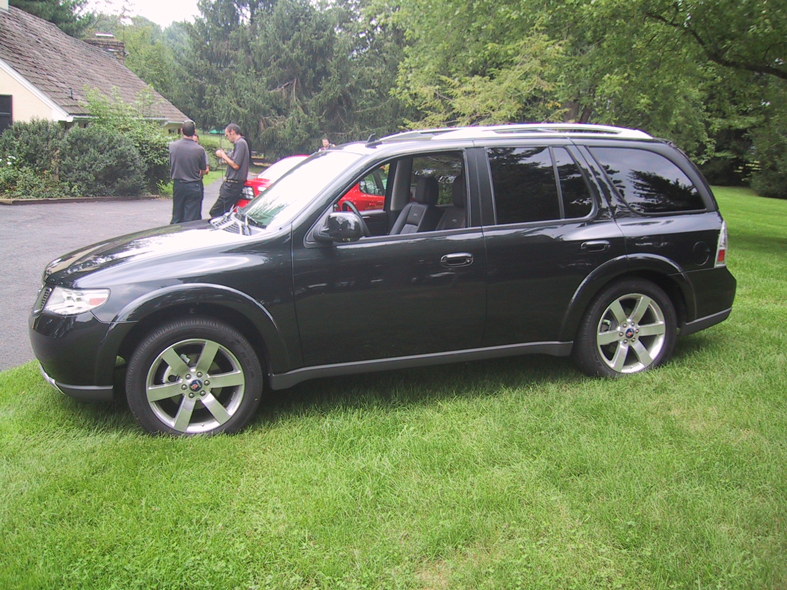
Side view of the 9-7X Aero
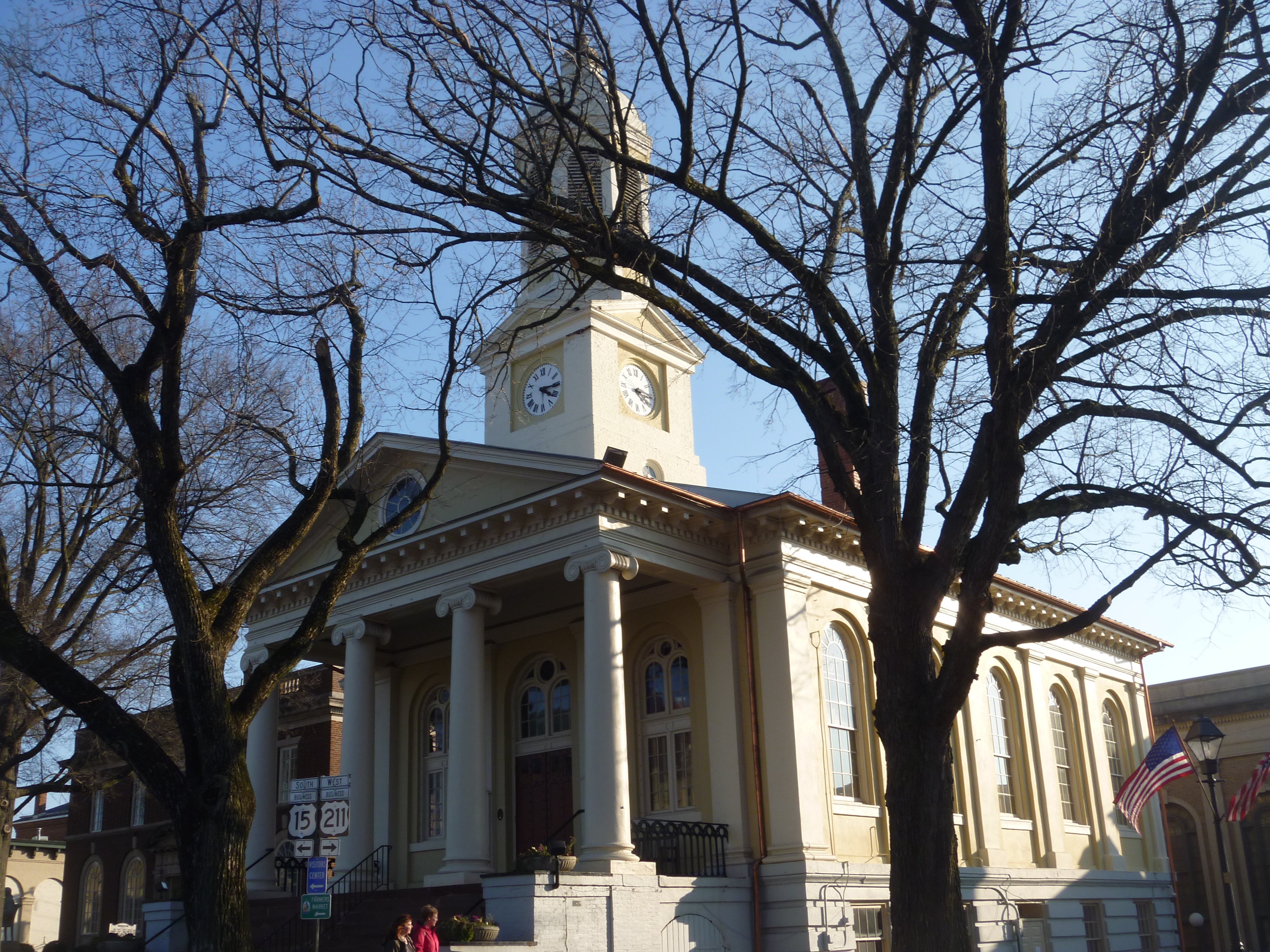
Southern View Of Fauquier County Courthouse

Eastern View Of The Clocktower/Cupola Of The Fauquier County Courthouse
MBA Opening Residency
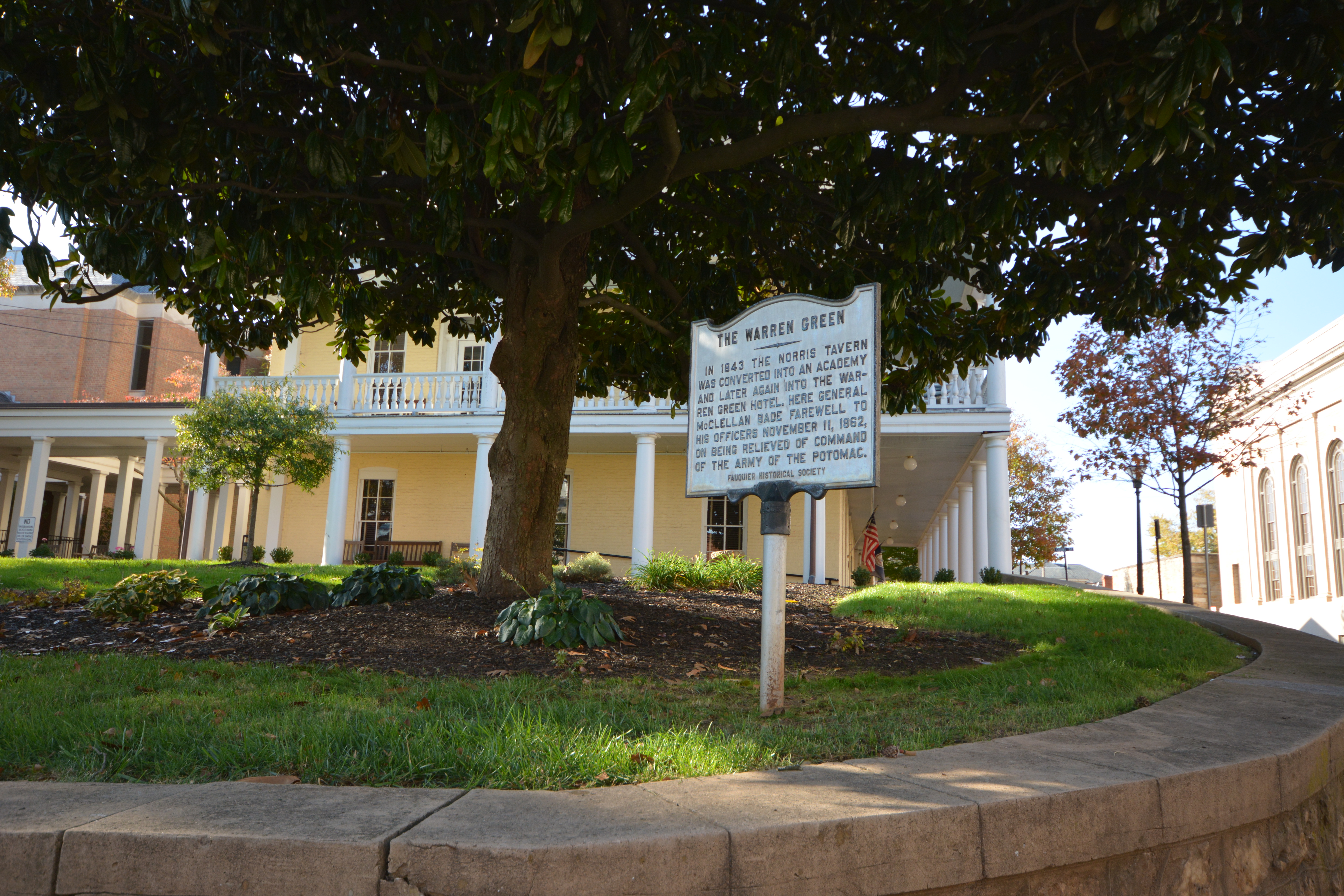
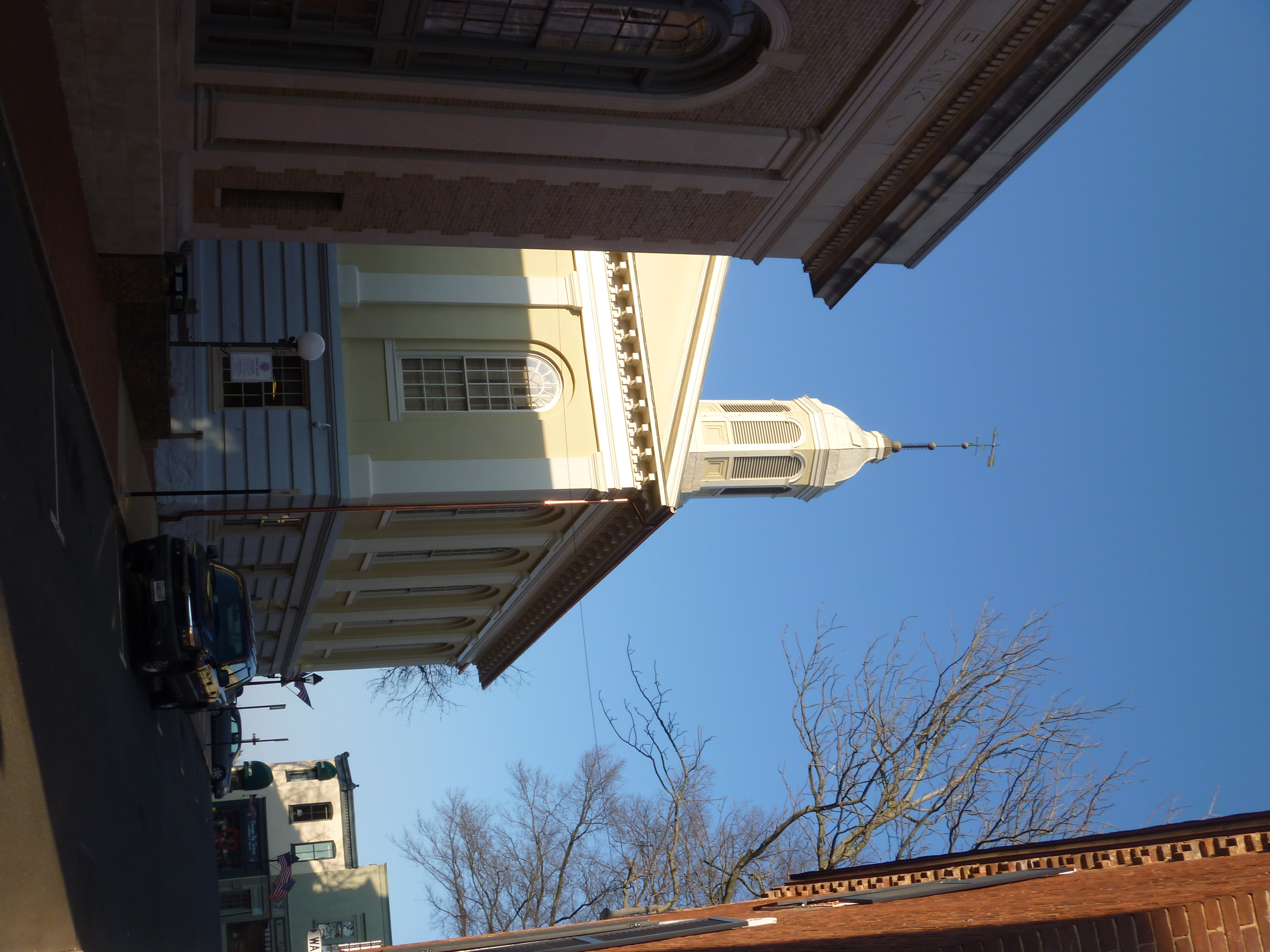
The Warren Green in Warrenton, Virginia
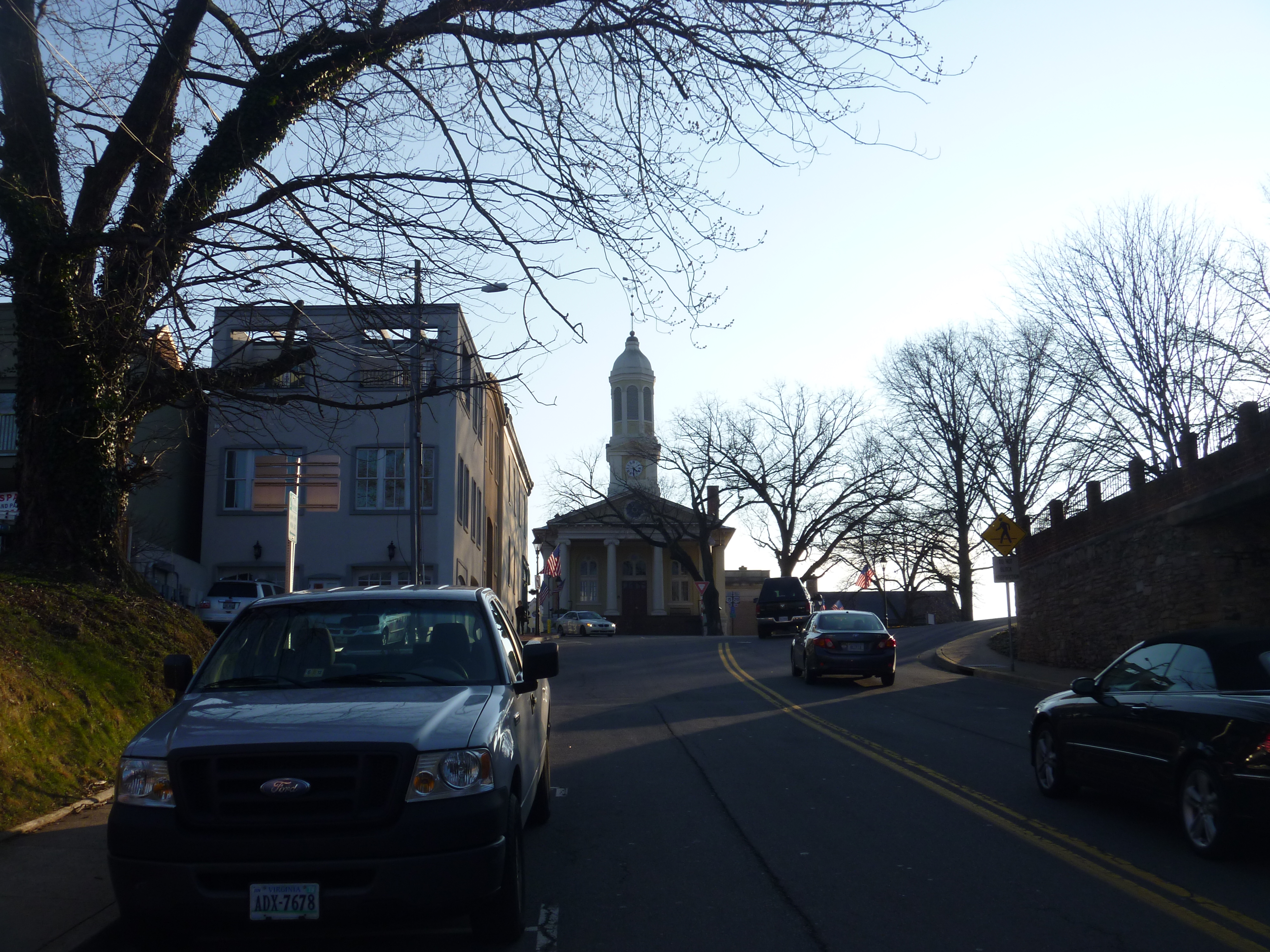
Distant View Of Fauquier County Courthouse
Western View Of Fauquier County Courthouse
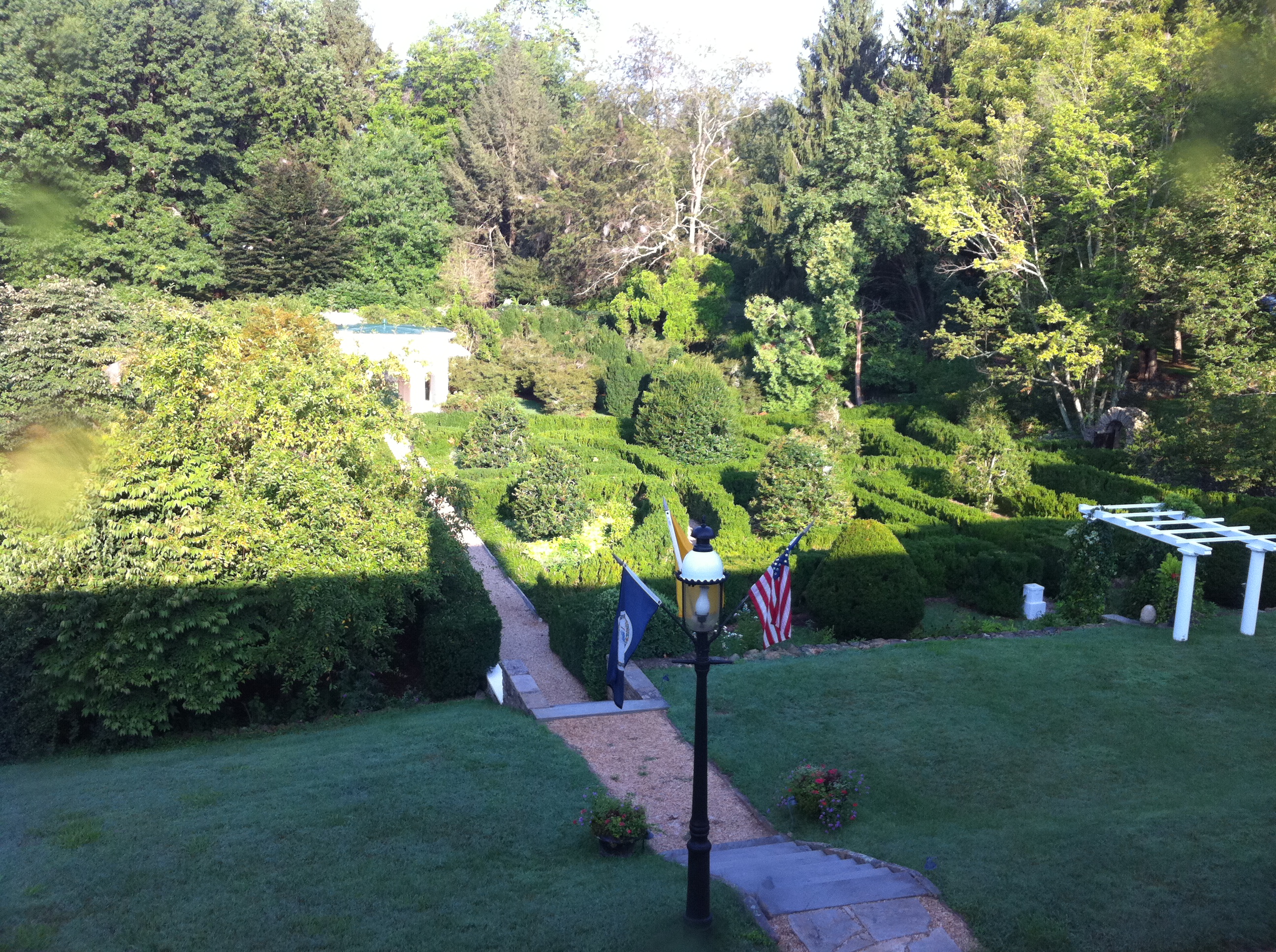
Sky Meadows Beauty
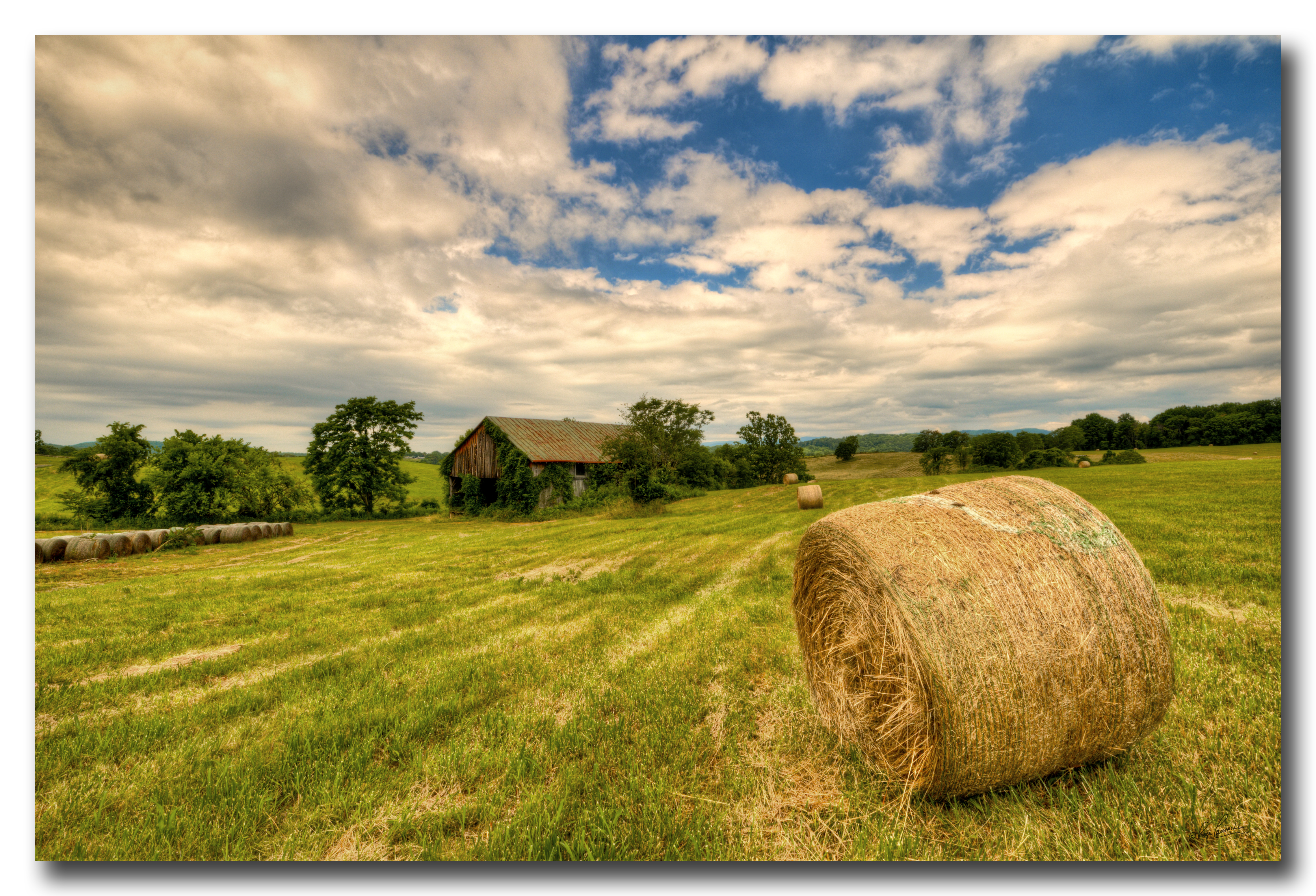
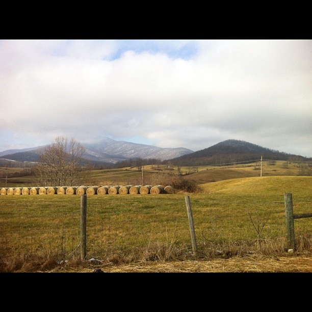
Farm near Flint Hill VA

High Meadow Farm, circa 1780, Flint Hill, VA
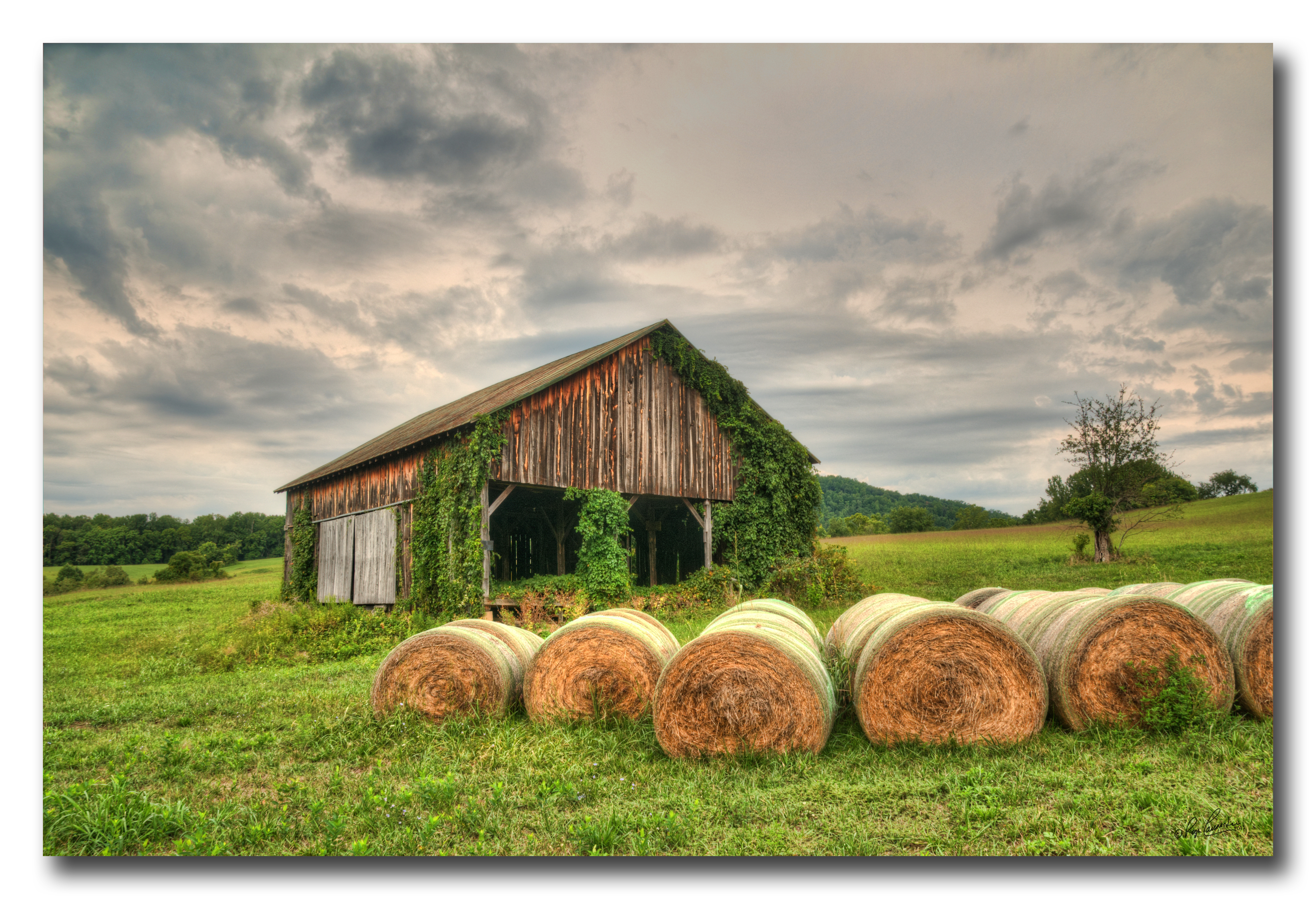
Old Barn Day...#1
You try and tell me Virginia isn't one of the most beautiful places on earth

Crossing the ford on Battle Run stream

336/365: Friday, December 02, 2011: Fauquier, Virginia
North Wales Farm
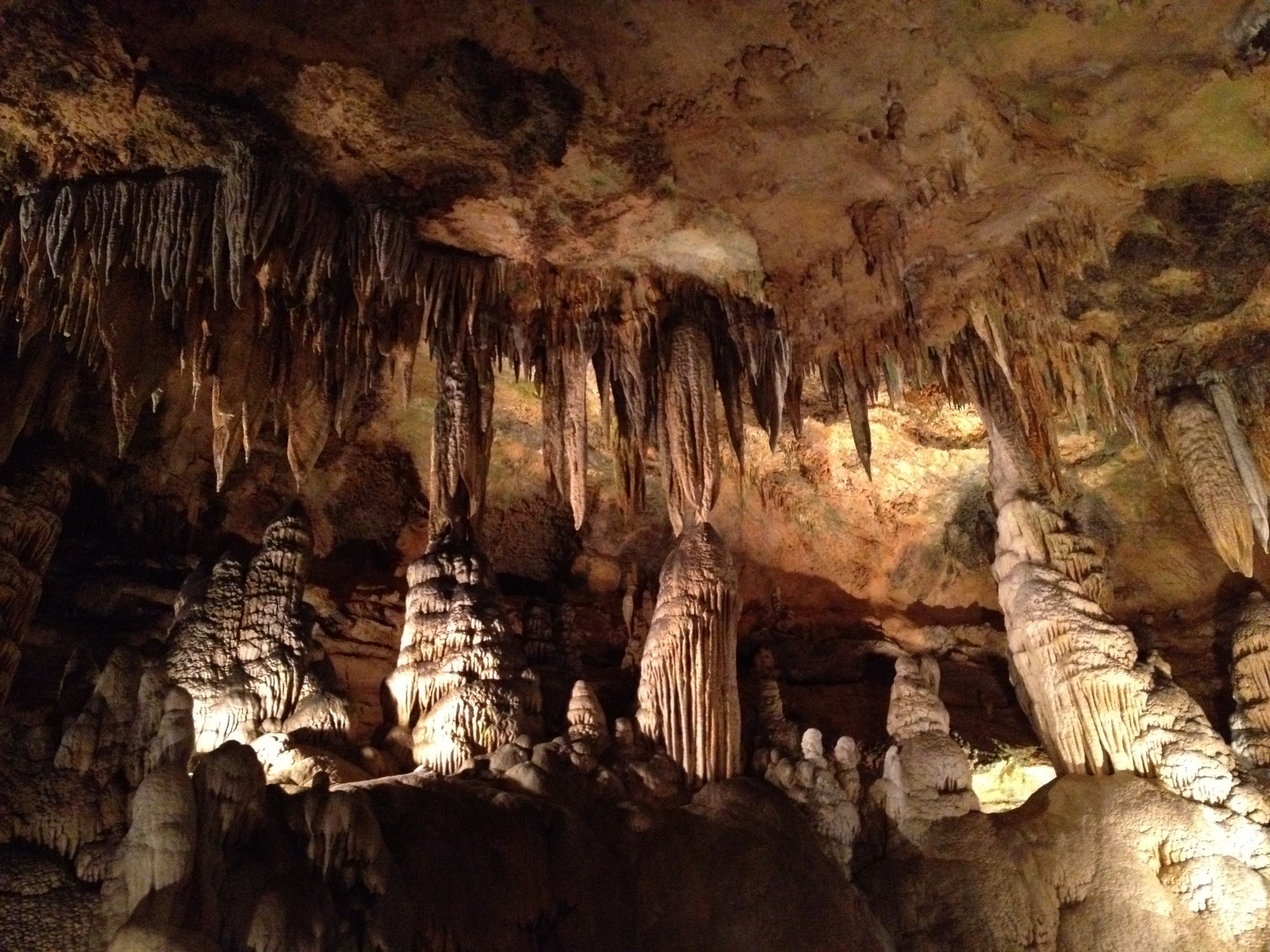
Luray Cavern
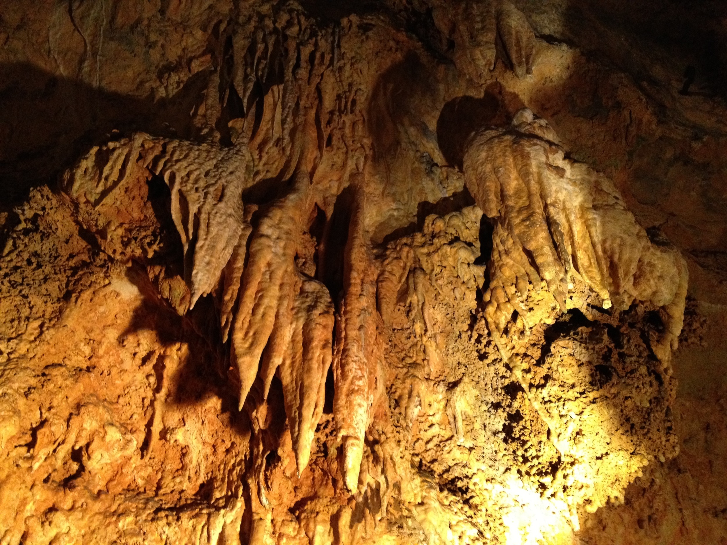
Luray Cavern

Old Waterloo Bridge, Fauquier County

Madison County, Va.
Flight to Charlottesville, VA

Fauquier County, Va.

Old Rag Mountain in Shenandoah National Park
Flight to Charlottesville, VA

Madison County, Va.

Luray Caverns
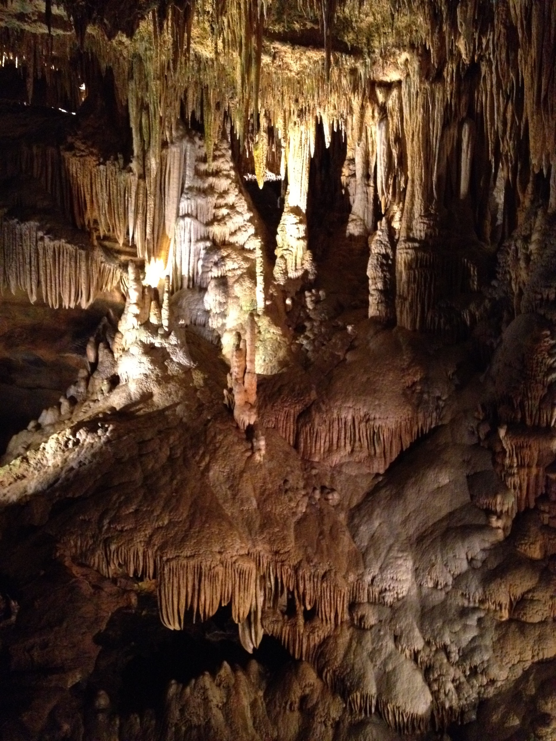
Luray Caverns
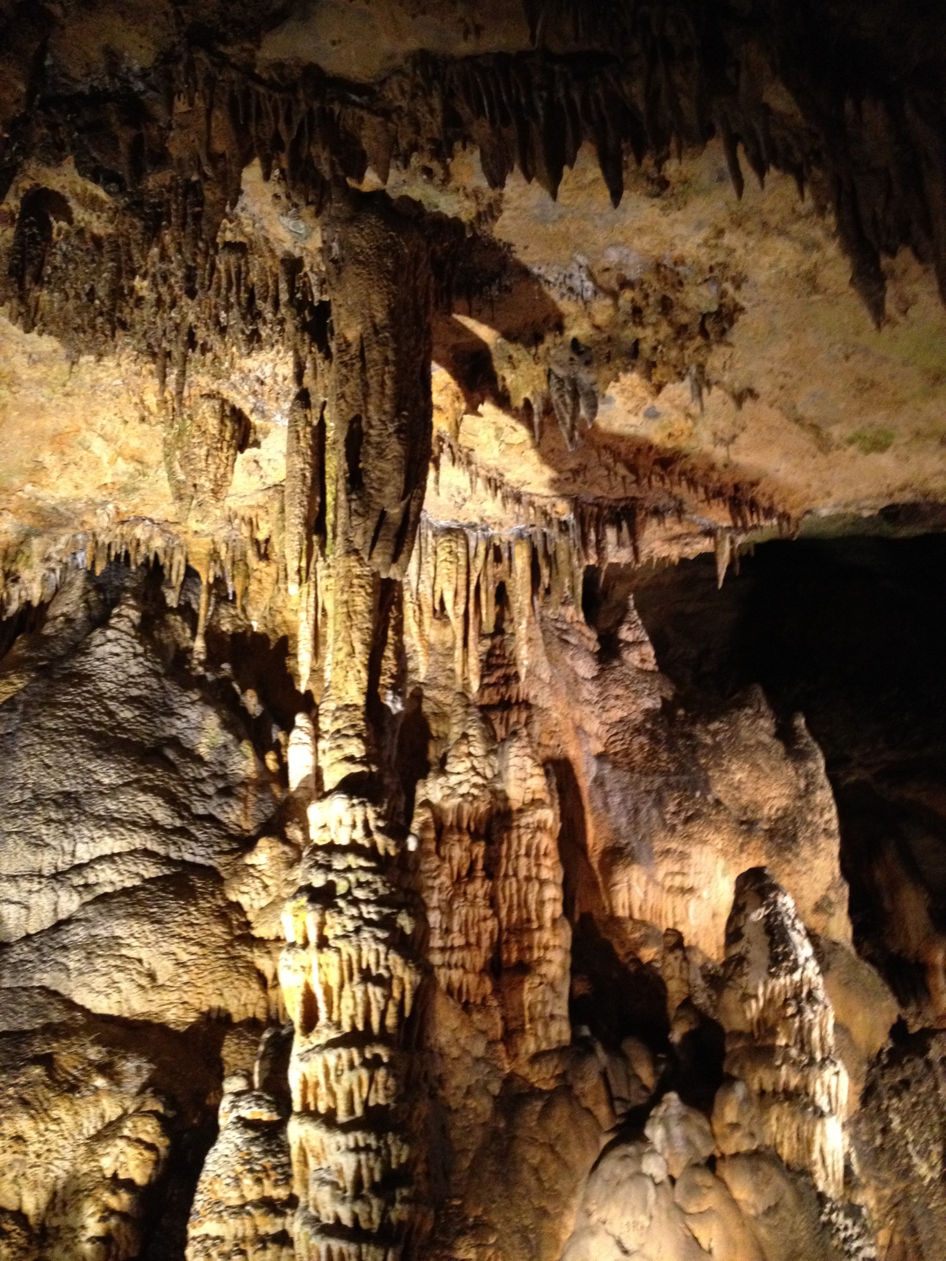
Luray Cavern
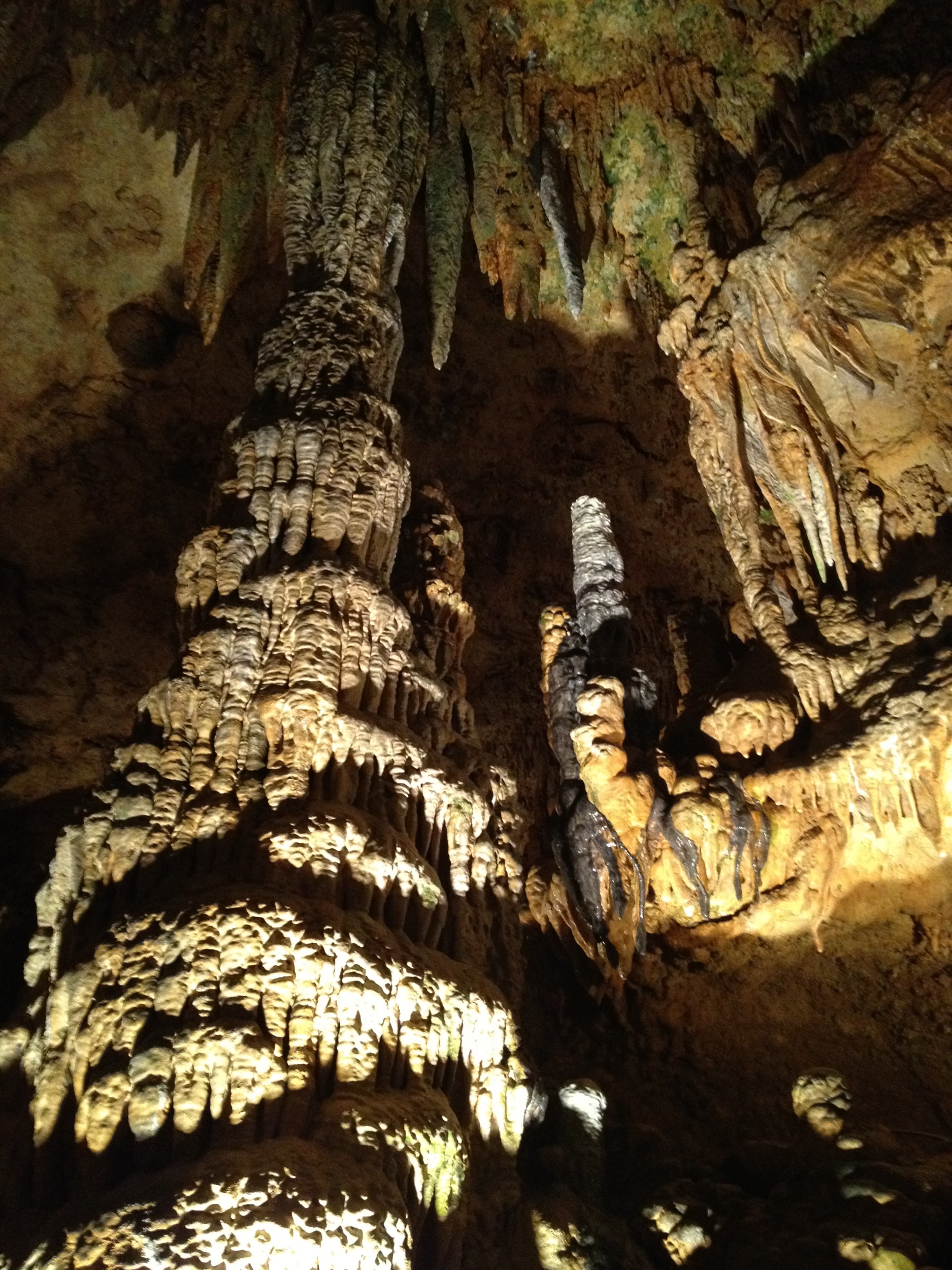
Luray Cavern
Topographic Map of Mary Brit Ln, Amissville, VA, USA
Find elevation by address:

Places near Mary Brit Ln, Amissville, VA, USA:
1474 Freeman Dr
Kristin Ln, Amissville, VA, USA
1022 Shetley Rd
1022 Shetley Rd
Rollins Ford Road
Wesley Chapel Rd, Marshall, VA, USA
Waterloo Bridge
7426 Leeds Manor Rd
280 Hinson Ford Rd
60 Random Hills Ln
10292 Cliff Mills Rd
Gray Ghost Vineyards
6844 Leeds Manor Rd
State Route 645
Conde Rd, Marshall, VA, USA
73 7 Ponds Rd
Narmada Winery
6517 Wincewood Dr
9696 Sherburne Farm Rd
9626 Sherburne Farm Rd
Recent Searches:
- Elevation of 10370, West 107th Circle, Westminster, Jefferson County, Colorado, 80021, USA
- Elevation of 611, Roman Road, Old Ford, Bow, London, England, E3 2RW, United Kingdom
- Elevation of 116, Beartown Road, Underhill, Chittenden County, Vermont, 05489, USA
- Elevation of Window Rock, Colfax County, New Mexico, 87714, USA
- Elevation of 4807, Rosecroft Street, Kempsville Gardens, Virginia Beach, Virginia, 23464, USA
- Elevation map of Matawinie, Quebec, Canada
- Elevation of Sainte-Émélie-de-l'Énergie, Matawinie, Quebec, Canada
- Elevation of Rue du Pont, Sainte-Émélie-de-l'Énergie, Matawinie, Quebec, J0K2K0, Canada
- Elevation of 8, Rue de Bécancour, Blainville, Thérèse-De Blainville, Quebec, J7B1N2, Canada
- Elevation of Wilmot Court North, 163, University Avenue West, Northdale, Waterloo, Region of Waterloo, Ontario, N2L6B6, Canada
- Elevation map of Panamá Province, Panama
- Elevation of Balboa, Panamá Province, Panama
- Elevation of San Miguel, Balboa, Panamá Province, Panama
- Elevation of Isla Gibraleón, San Miguel, Balboa, Panamá Province, Panama
- Elevation of 4655, Krischke Road, Schulenburg, Fayette County, Texas, 78956, USA
- Elevation of Carnegie Avenue, Downtown Cleveland, Cleveland, Cuyahoga County, Ohio, 44115, USA
- Elevation of Walhonding, Coshocton County, Ohio, USA
- Elevation of Clifton Down, Clifton, Bristol, City of Bristol, England, BS8 3HU, United Kingdom
- Elevation map of Auvergne-Rhône-Alpes, France
- Elevation map of Upper Savoy, Auvergne-Rhône-Alpes, France