Elevation of 8 Chome-30-19 Agaminami, Kure-shi, Hiroshima-ken -, Japan
Location: Japan > Hiroshima Prefecture > Kure >
Longitude: 132.577485
Latitude: 34.2078286
Elevation: 7m / 23feet
Barometric Pressure: 0KPa
Related Photos:

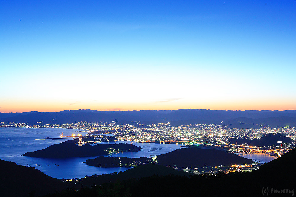
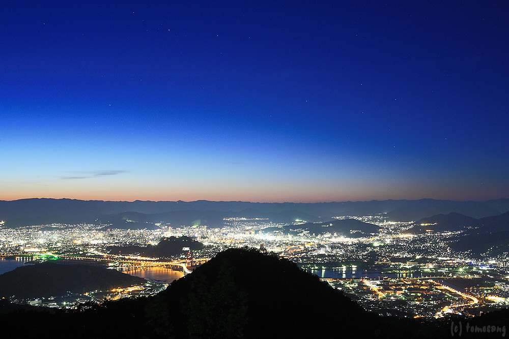
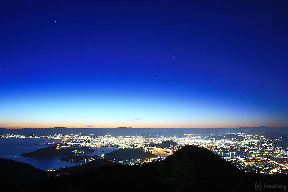
Overlooking Hiroshima City(6-3) 広島市俯瞰(6-3)

Overlooking Hiroshima City(6-2) 広島市俯瞰(6-2)

Overlooking Hiroshima City(6-4) 広島市俯瞰(6-4)

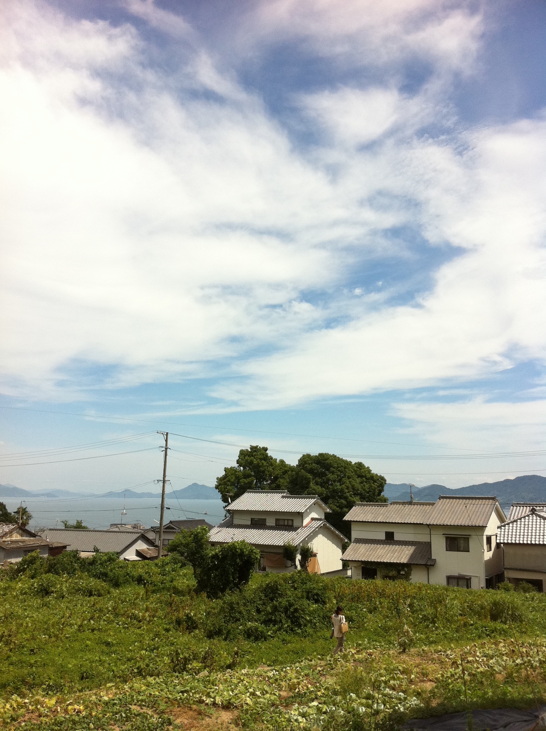
町内風景
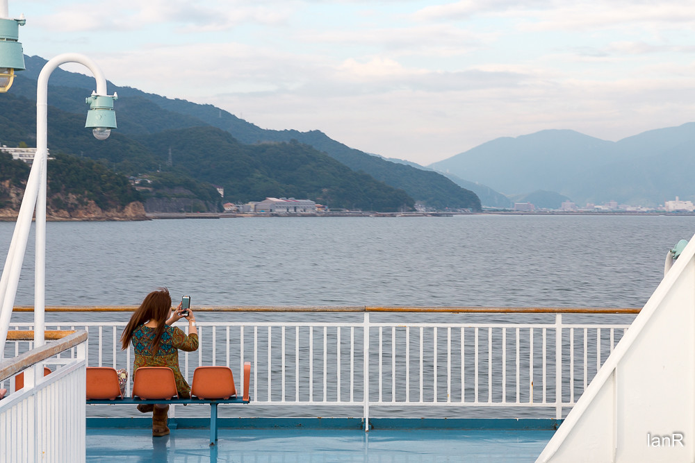
From the ferry

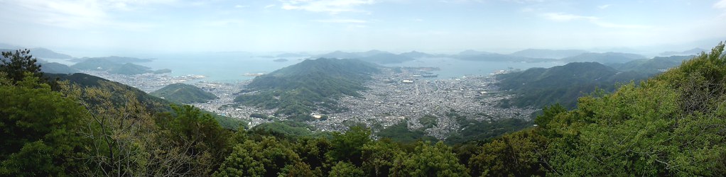
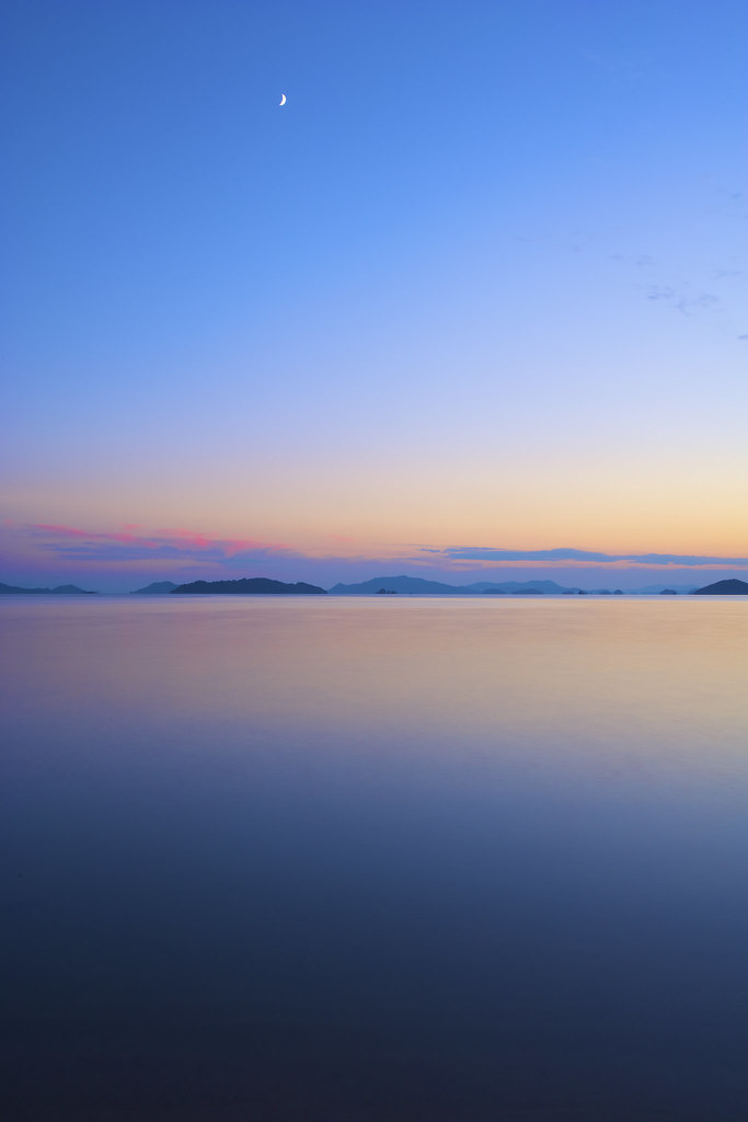
View Over Seto Island Sea

View from helicopter
Tennou station
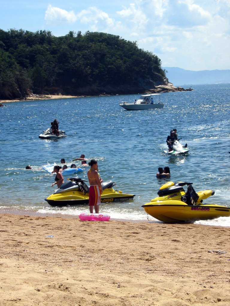
jet skis at Ganne beach

Yukio and the Zero
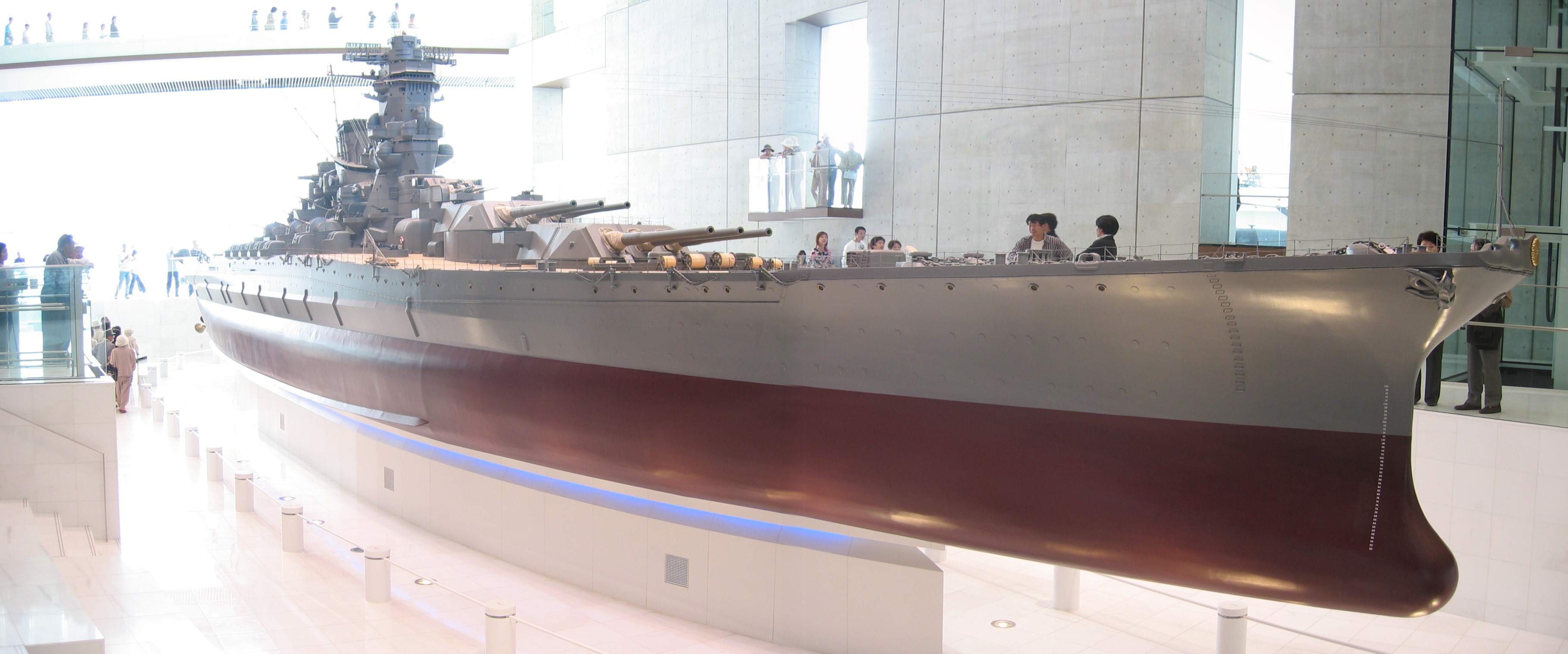
Yamato scale model
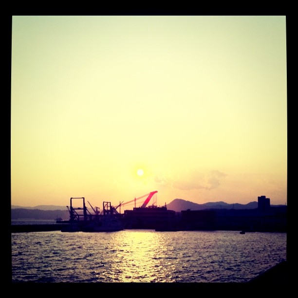
呉の夕陽
the Peak of Mt. Ege
Mt. Haigamine

IMG_1756.jpg

もうすぐ夜明け♪( ´▽`)
カメラロール-140

今日の広島湾♪( ´▽`)
d071018093-ap3
the Peak of Mt. Ege

呉市警固屋4丁目 雁木 船溜
IMG_1662.jpg

2014-11-24_IMGP1215.jpg
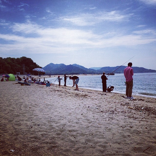
Bayside beach Saka- not pristine, but it's Hiroshima's most convenient beach- on the way to Kure (route 31) Very popular today with fishing folk. #gethiroshima
the Peak of Mt. Ege
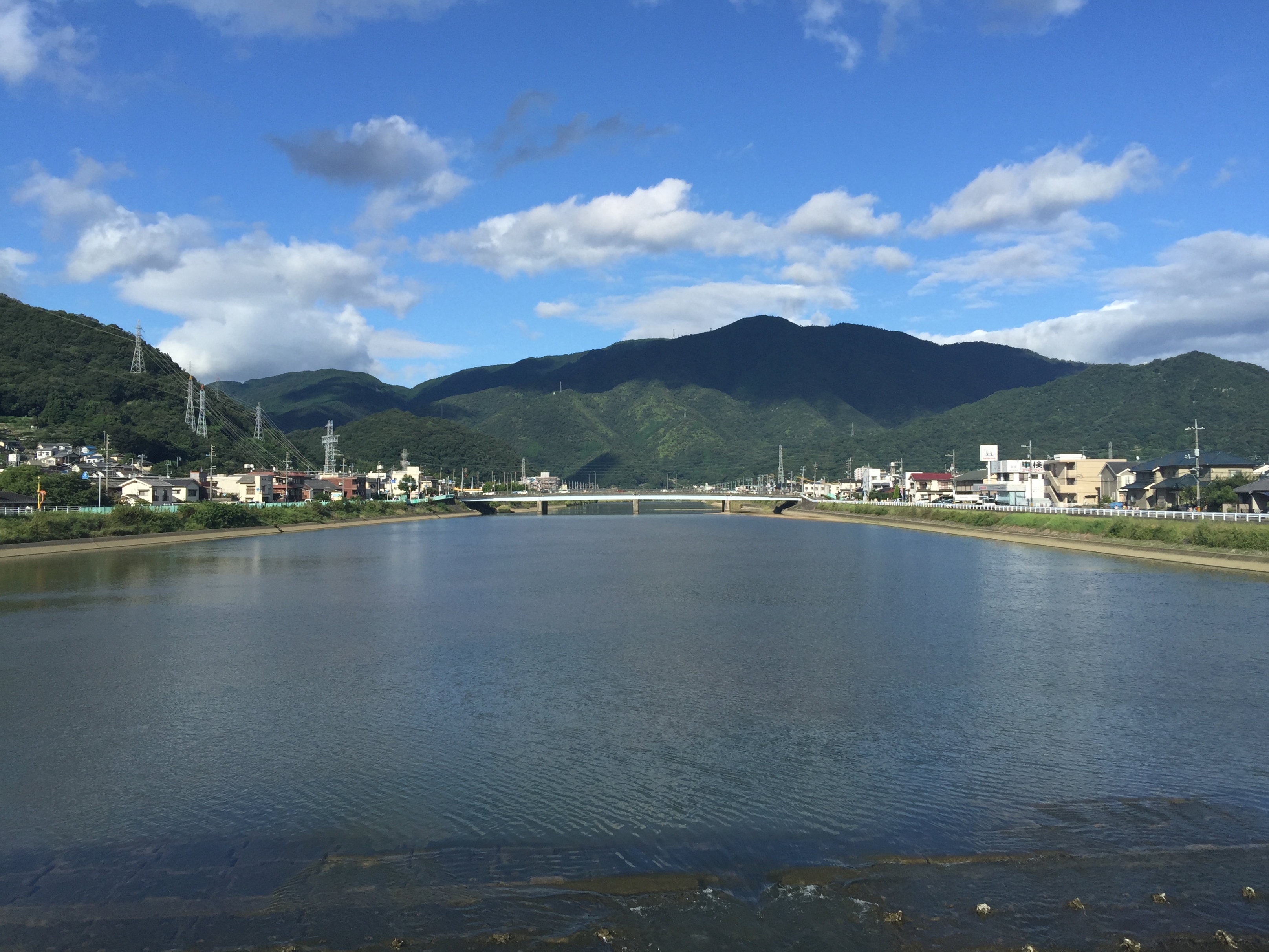
黒瀬川
Topographic Map of 8 Chome-30-19 Agaminami, Kure-shi, Hiroshima-ken -, Japan
Find elevation by address:

Places near 8 Chome-30-19 Agaminami, Kure-shi, Hiroshima-ken -, Japan:
9 Chome-9-37 Agaminami, Kure-shi, Hiroshima-ken -, Japan
7 Chome-6-23 Agaminami, Kure-shi, Hiroshima-ken -, Japan
9 Chome-7-47 Kegoya, Kure-shi, Hiroshima-ken -, Japan
5 Chome-16-10 Agaminami, Kure-shi, Hiroshima-ken -, Japan
8-6 Murosechō, Kure-shi, Hiroshima-ken -, Japan
5 Chome-6-9 Matoba, Kure-shi, Hiroshima-ken -, Japan
1 Chome-23-5 Ondochō Hatami, Kure-shi, Hiroshima-ken -, Japan
6 Chome-20-1 Ondochō Hatami, Kure-shi, Hiroshima-ken -, Japan
Kure
10 Chome-16-19 Ondochō Hatami, Kure-shi, Hiroshima-ken -, Japan
5 Chome-6-48 Hiroshiratake, Kure-shi, Hiroshima-ken -, Japan
2 Chome-3-9 Ondochōhata, Kure-shi, Hiroshima-ken -, Japan
2 Chome-47-2 Ondochō Tonoko, Kure-shi, Hiroshima-ken -, Japan
1 Chome-23-15 Ondochō Arikiyo, Kure-shi, Hiroshima-ken -, Japan
2 Chome-84-5 Ondochō Tahara, Kure-shi, Hiroshima-ken -, Japan
1 Chome-28-5 Ondochō Fujinowaki, Kure-shi, Hiroshima-ken -, Japan
3 Chome-23-11 Ondochō Tahara, Kure-shi, Hiroshima-ken -, Japan
3 Chome-13-11 Etajimachō Akizuki, Etajima-shi, Hiroshima-ken -, Japan
Shimokamagarichō Shimojima, Kure-shi, Hiroshima-ken -, Japan
1 Chome-10-12 Ondochō Hayase, Kure-shi, Hiroshima-ken -, Japan
Recent Searches:
- Elevation map of Greenland, Greenland
- Elevation of Sullivan Hill, New York, New York, 10002, USA
- Elevation of Morehead Road, Withrow Downs, Charlotte, Mecklenburg County, North Carolina, 28262, USA
- Elevation of 2800, Morehead Road, Withrow Downs, Charlotte, Mecklenburg County, North Carolina, 28262, USA
- Elevation of Yangbi Yi Autonomous County, Yunnan, China
- Elevation of Pingpo, Yangbi Yi Autonomous County, Yunnan, China
- Elevation of Mount Malong, Pingpo, Yangbi Yi Autonomous County, Yunnan, China
- Elevation map of Yongping County, Yunnan, China
- Elevation of North 8th Street, Palatka, Putnam County, Florida, 32177, USA
- Elevation of 107, Big Apple Road, East Palatka, Putnam County, Florida, 32131, USA
- Elevation of Jiezi, Chongzhou City, Sichuan, China
- Elevation of Chongzhou City, Sichuan, China
- Elevation of Huaiyuan, Chongzhou City, Sichuan, China
- Elevation of Qingxia, Chengdu, Sichuan, China
- Elevation of Corso Fratelli Cairoli, 35, Macerata MC, Italy
- Elevation of Tallevast Rd, Sarasota, FL, USA
- Elevation of 4th St E, Sonoma, CA, USA
- Elevation of Black Hollow Rd, Pennsdale, PA, USA
- Elevation of Oakland Ave, Williamsport, PA, USA
- Elevation of Pedrógão Grande, Portugal