Elevation of 2 Chome-47-2 Ondochō Tonoko, Kure-shi, Hiroshima-ken -, Japan
Location: Japan > Hiroshima Prefecture > Kure >
Longitude: 132.514918
Latitude: 34.1861799
Elevation: 60m / 197feet
Barometric Pressure: 101KPa
Elevation Map:
Satellite Map:
Related Photos:

町内風景
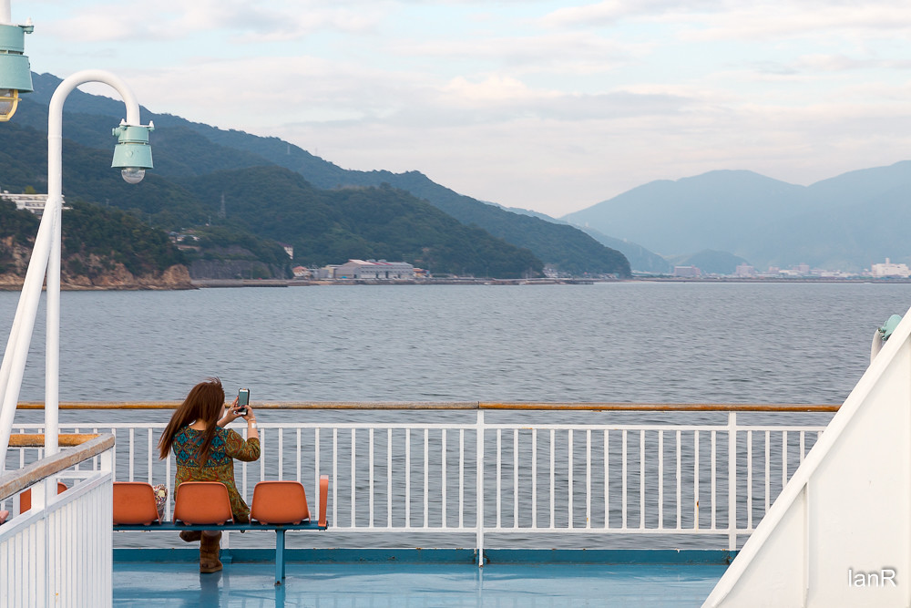
From the ferry

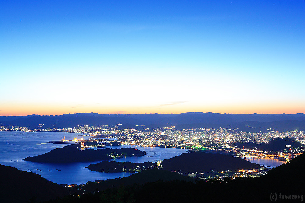
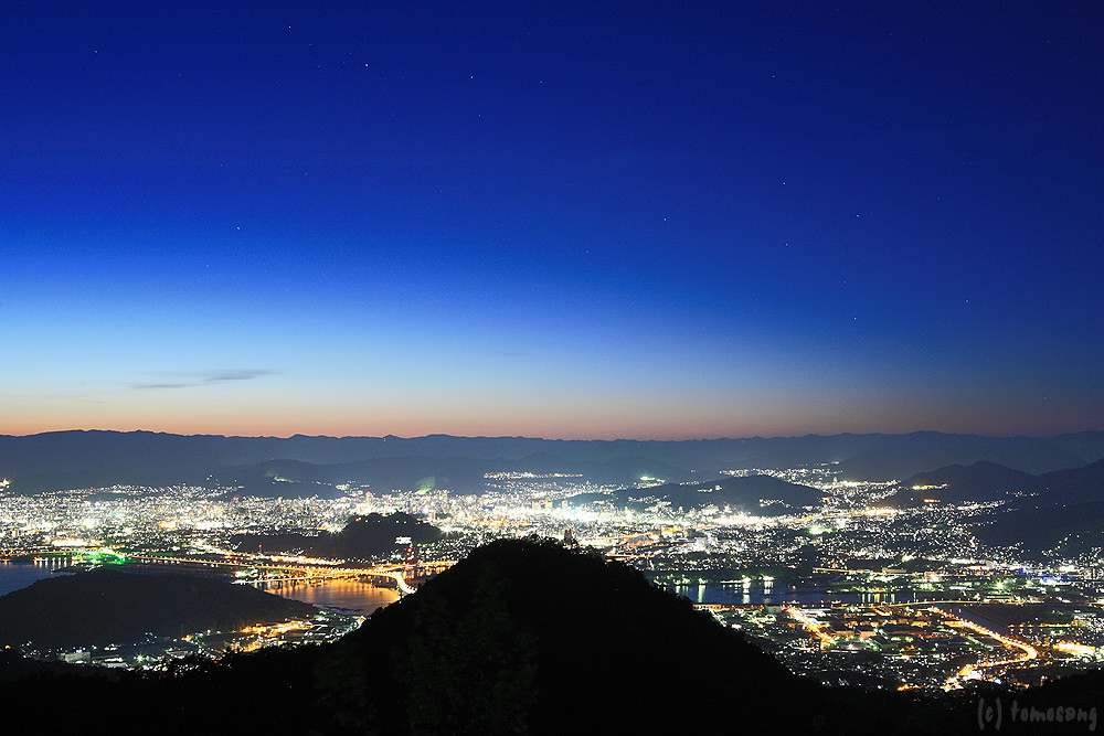
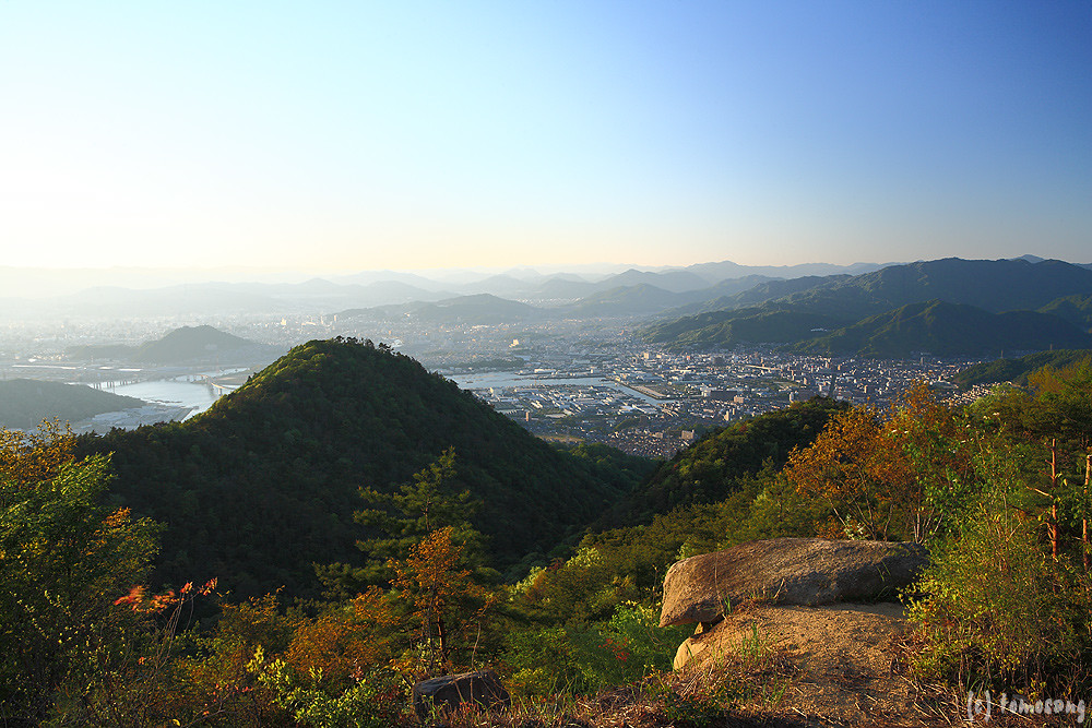
Overlooking Hiroshima City(6-2) 広島市俯瞰(6-2)

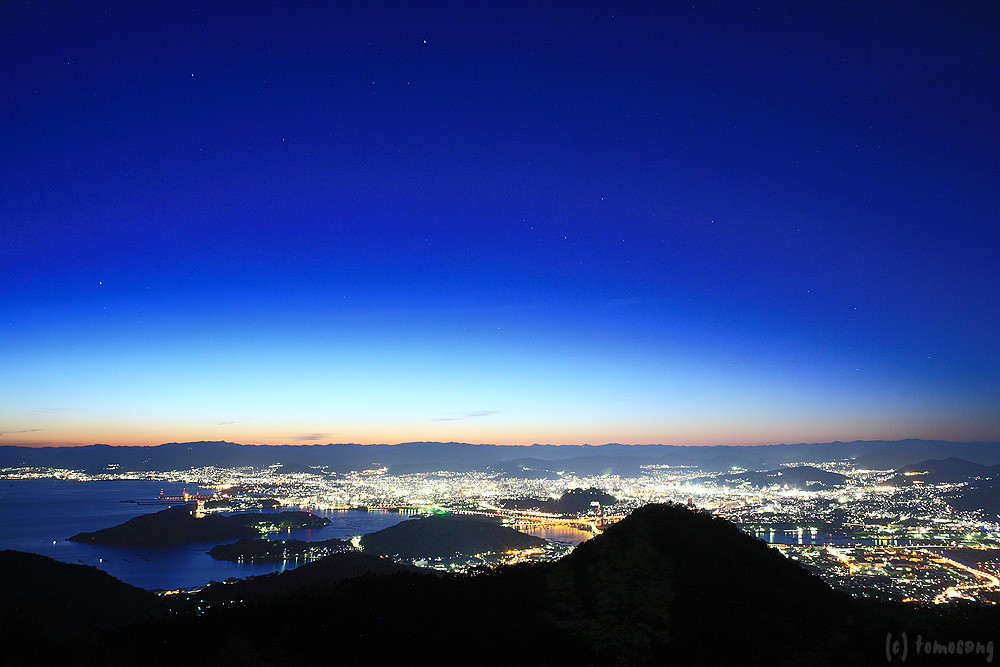
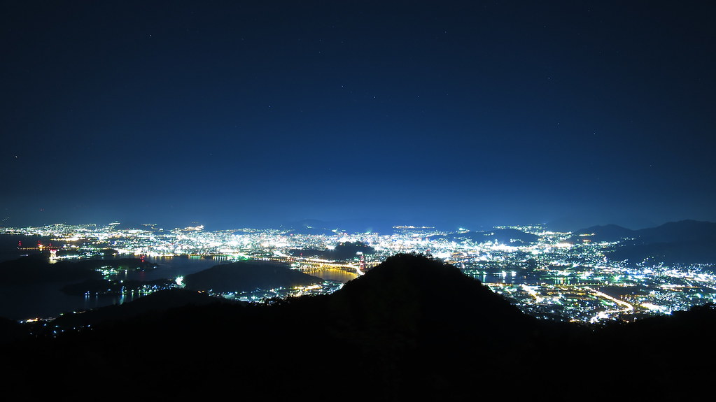
Overlooking Hiroshima City(6-4) 広島市俯瞰(6-4)

View from helicopter
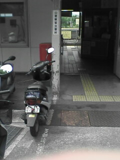
Tennou station
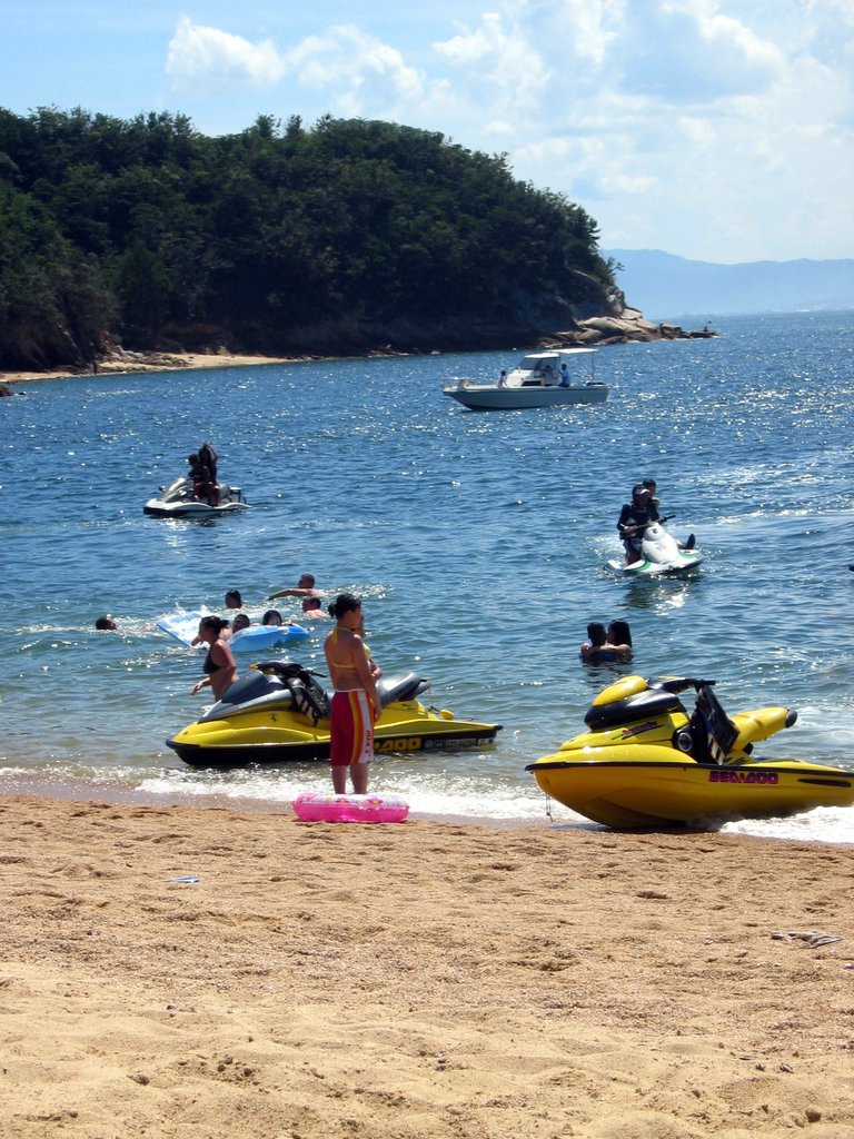
jet skis at Ganne beach

Yukio and the Zero
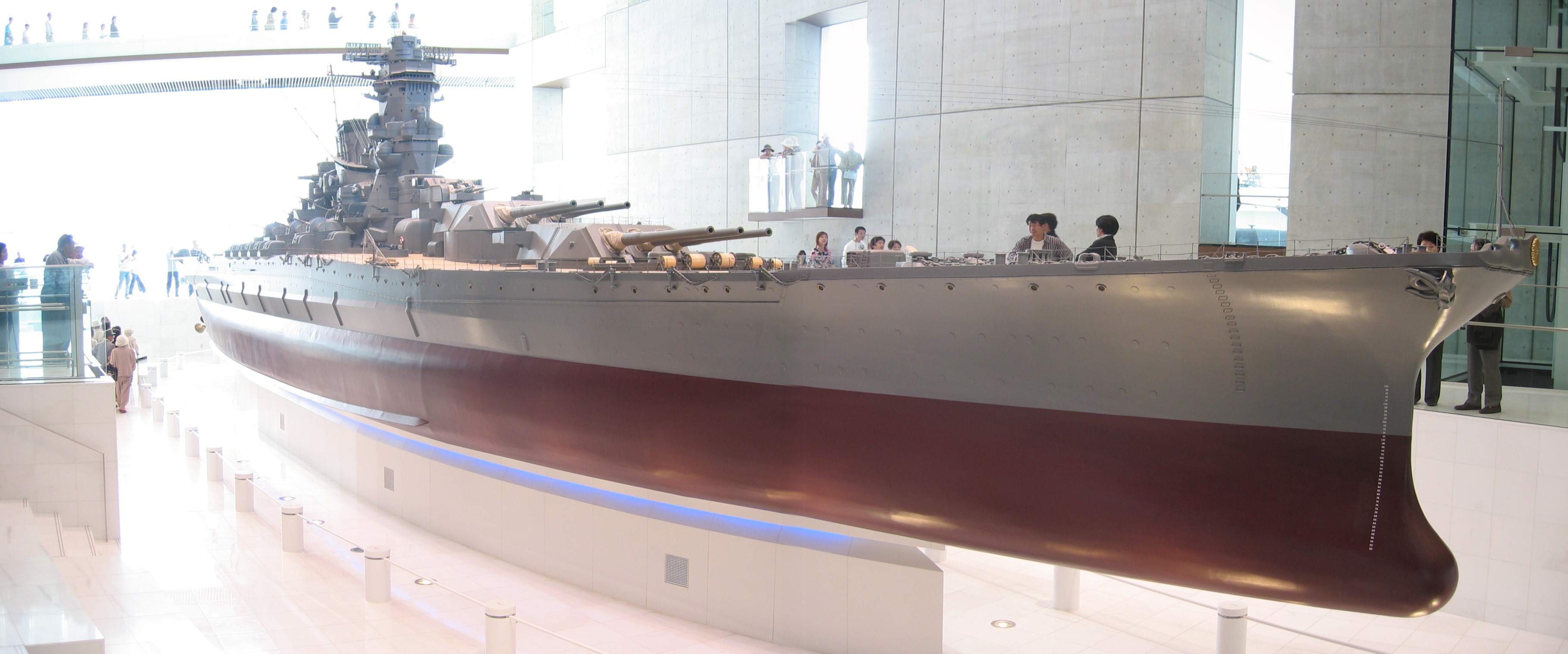
Yamato scale model
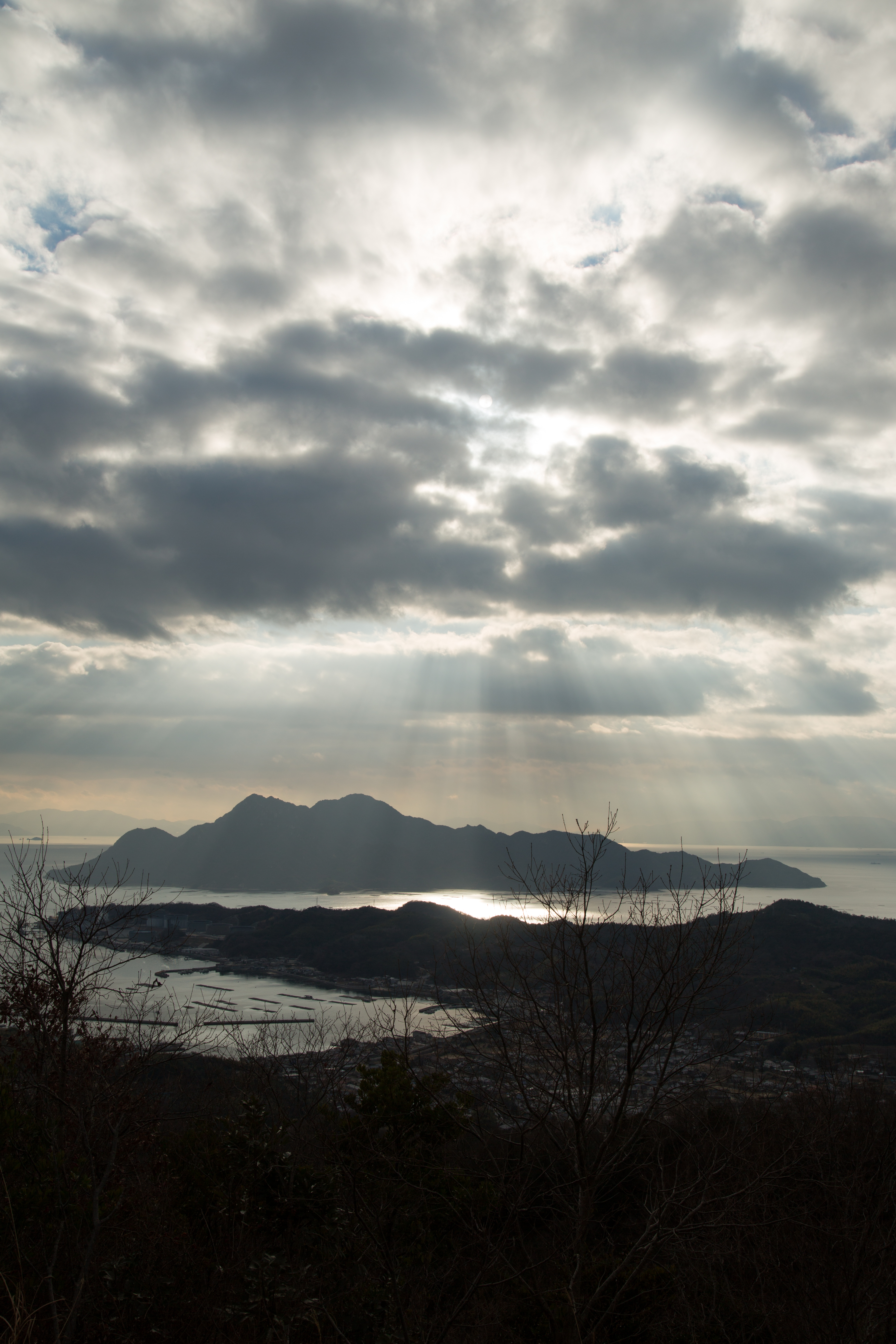
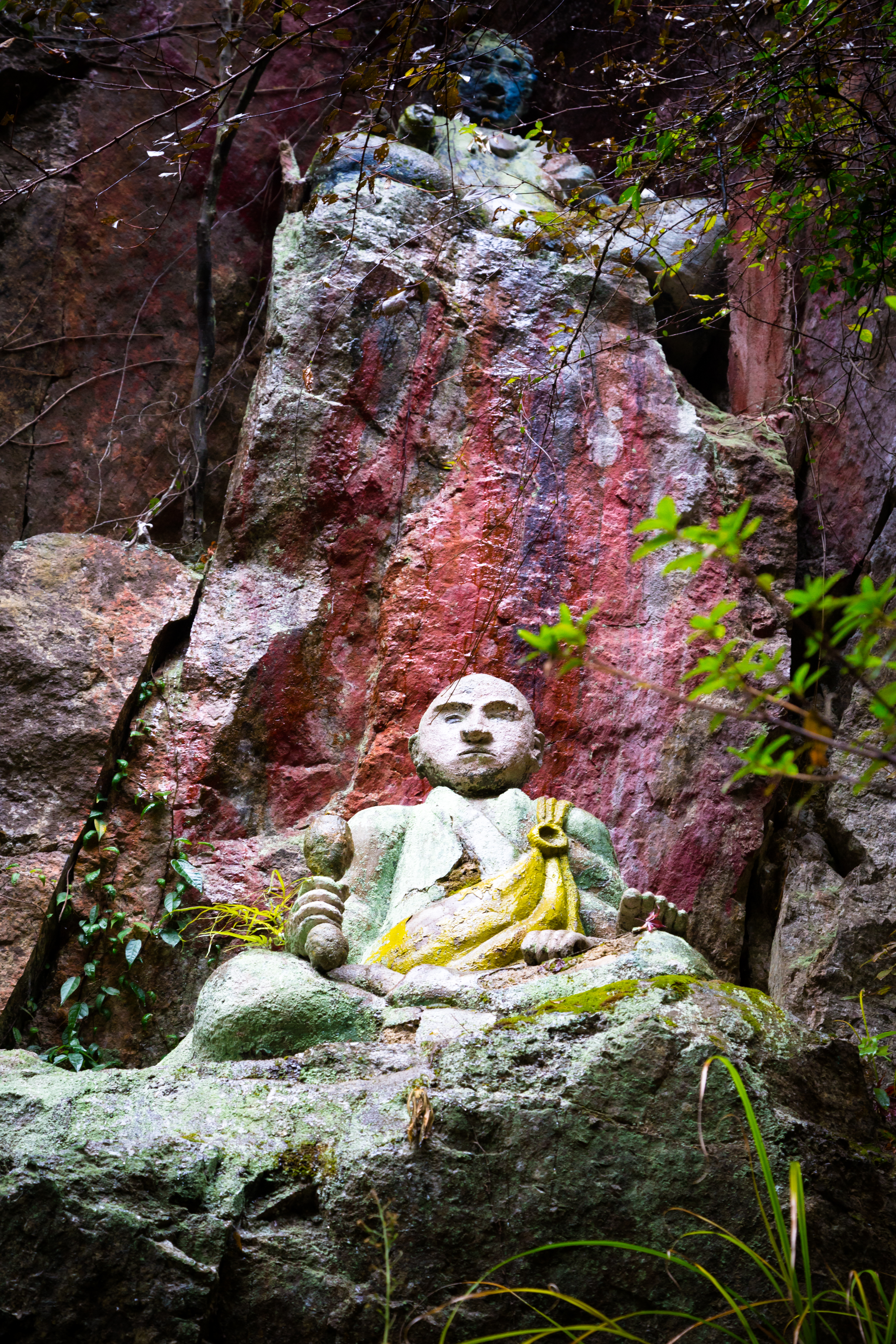
the Peak of Mt. Ege
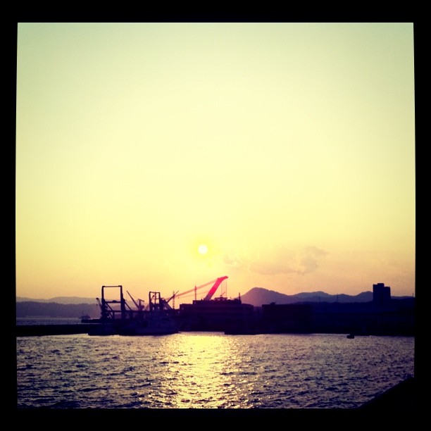
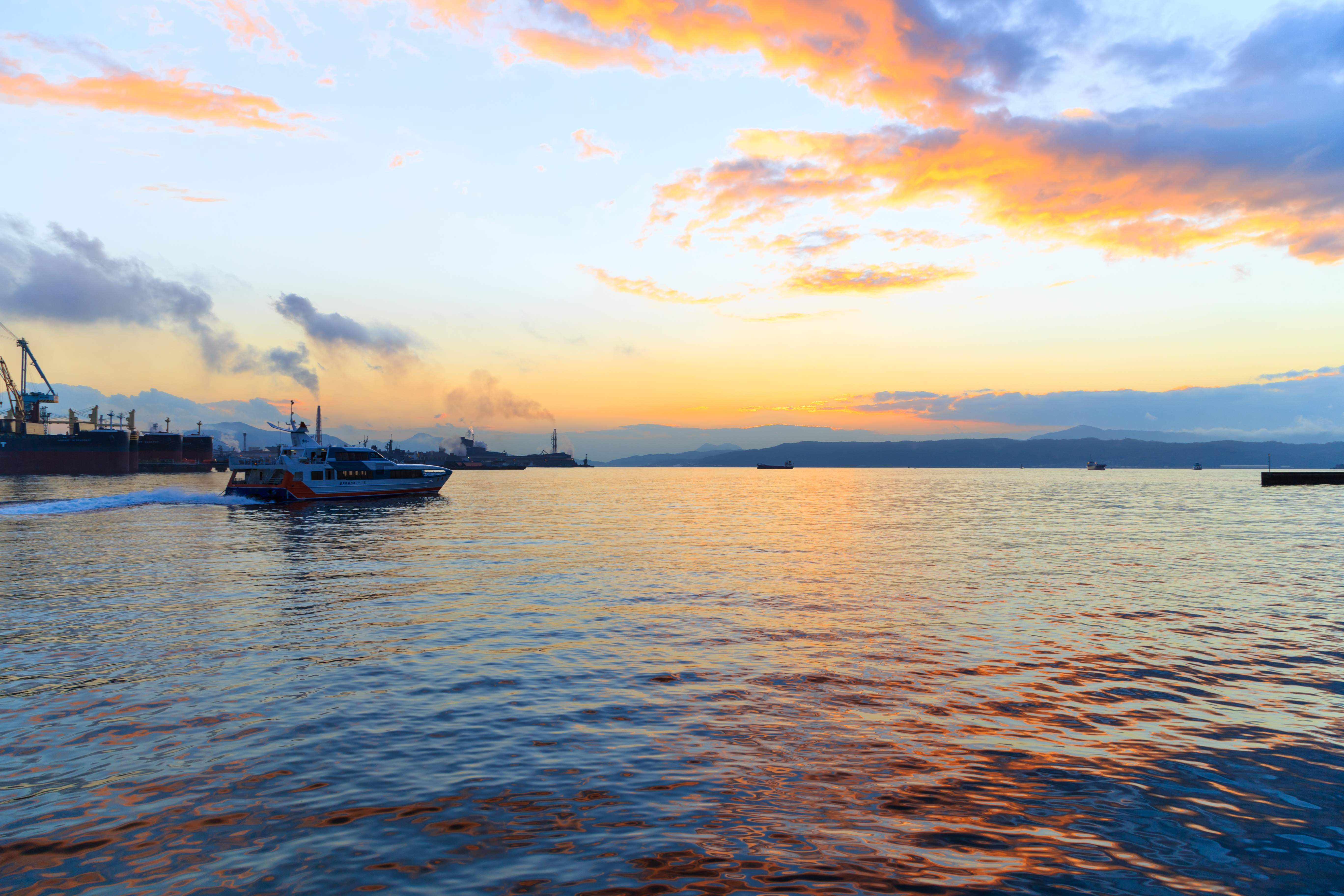
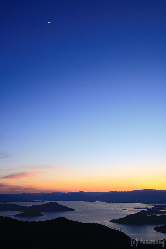
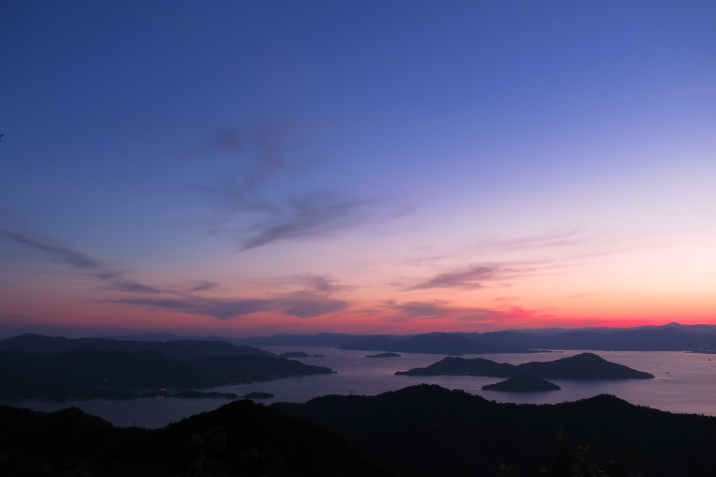
呉の夕陽
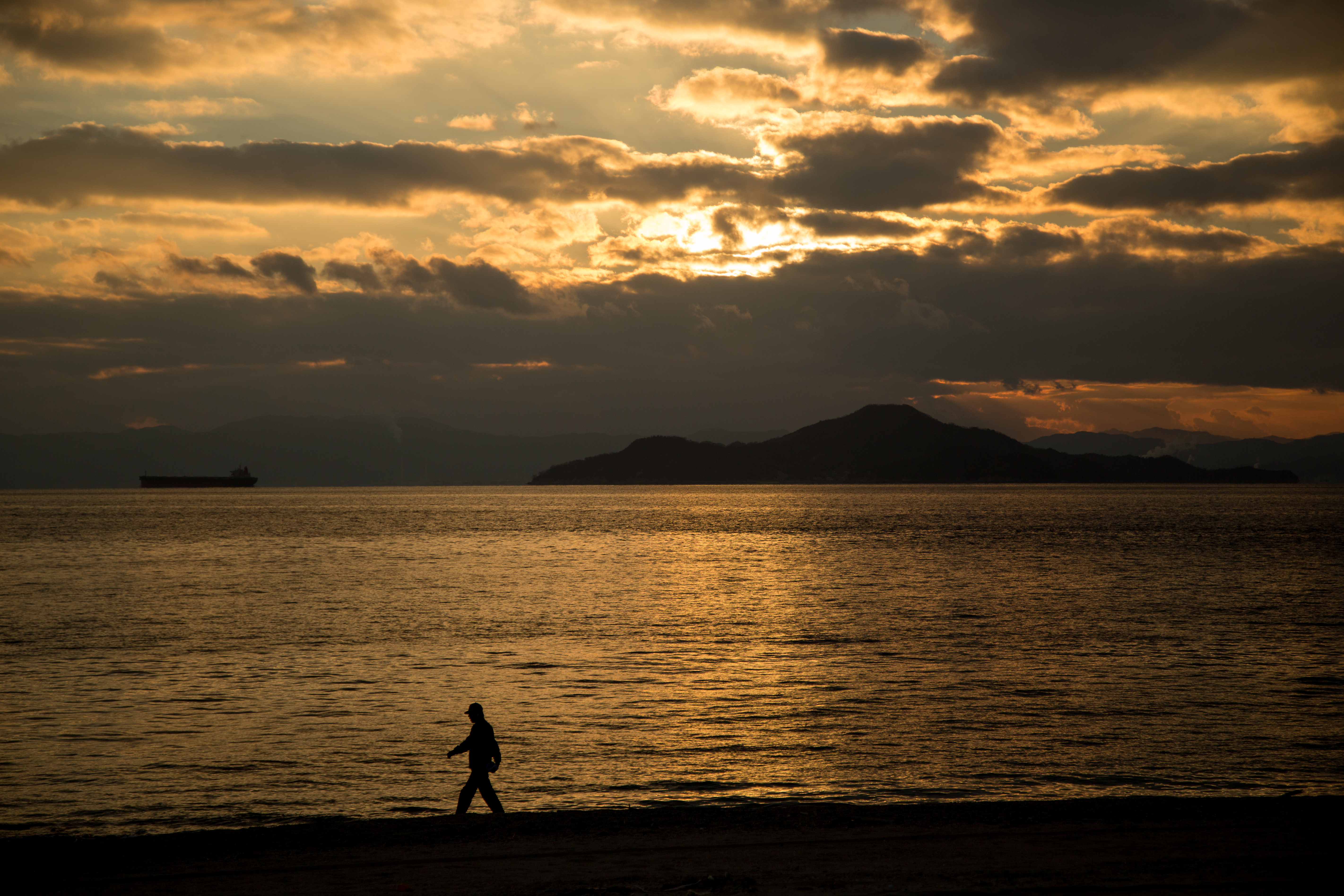
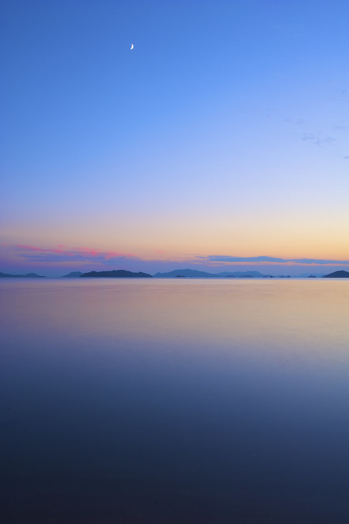
夕暮れの海辺散歩
the Peak of Mt. Ege
IMG_1756.jpg
LR4-6187

今日の広島湾♪( ´▽`)
d071018093-ap3

呉市警固屋4丁目 雁木 船溜
the Peak of Mt. Ege
IMG_1662.jpg
the Peak of Mt. Ege
the Peak of Mt. Ege
the Peak of Mt. Ege
the Peak of Mt. Ege
Topographic Map of 2 Chome-47-2 Ondochō Tonoko, Kure-shi, Hiroshima-ken -, Japan
Find elevation by address:

Places near 2 Chome-47-2 Ondochō Tonoko, Kure-shi, Hiroshima-ken -, Japan:
2 Chome-84-5 Ondochō Tahara, Kure-shi, Hiroshima-ken -, Japan
2 Chome-3-9 Ondochōhata, Kure-shi, Hiroshima-ken -, Japan
3 Chome-23-11 Ondochō Tahara, Kure-shi, Hiroshima-ken -, Japan
1 Chome-23-15 Ondochō Arikiyo, Kure-shi, Hiroshima-ken -, Japan
10 Chome-16-19 Ondochō Hatami, Kure-shi, Hiroshima-ken -, Japan
1 Chome-10-12 Ondochō Hayase, Kure-shi, Hiroshima-ken -, Japan
1 Chome-28-5 Ondochō Fujinowaki, Kure-shi, Hiroshima-ken -, Japan
2 Chome-5-3 Etajimachō Kōnan, Etajima-shi, Hiroshima-ken -, Japan
3 Chome-16-13 Ondochō Hayase, Kure-shi, Hiroshima-ken -, Japan
3 Chome-13-11 Etajimachō Akizuki, Etajima-shi, Hiroshima-ken -, Japan
-2 Ōgakichō Ōkimi, Etajima-shi, Hiroshima-ken -, Japan
Ōgakichō Kakiura, Etajima-shi, Hiroshima-ken -, Japan
4 Chome-2-5 Etajimachō Washibe, Etajima-shi, Hiroshima-ken -, Japan
Ōgakichō Hitonose, Etajima-shi, Hiroshima-ken -, Japan
1 Chome-35-5 Etajimachō Washibe, Etajima-shi, Hiroshima-ken -, Japan
Ōgakichō Ōbara, Etajima-shi, Hiroshima-ken -, Japan
Ōgakichō Obure, Etajima-shi, Hiroshima-ken -, Japan
1 Chome-21-24 Etajimachō Koyō, Etajima-shi, Hiroshima-ken -, Japan
4 Chome-13-17 Etajimachō Chūō, Etajima-shi, Hiroshima-ken -, Japan
Nōmichō Kanokawa, Etajima-shi, Hiroshima-ken -, Japan
Recent Searches:
- Elevation of Corso Fratelli Cairoli, 35, Macerata MC, Italy
- Elevation of Tallevast Rd, Sarasota, FL, USA
- Elevation of 4th St E, Sonoma, CA, USA
- Elevation of Black Hollow Rd, Pennsdale, PA, USA
- Elevation of Oakland Ave, Williamsport, PA, USA
- Elevation of Pedrógão Grande, Portugal
- Elevation of Klee Dr, Martinsburg, WV, USA
- Elevation of Via Roma, Pieranica CR, Italy
- Elevation of Tavkvetili Mountain, Georgia
- Elevation of Hartfords Bluff Cir, Mt Pleasant, SC, USA