Elevation of 3 Chome-13-11 Etajimachō Akizuki, Etajima-shi, Hiroshima-ken -, Japan
Location: Japan > Hiroshima Prefecture > Etajima >
Longitude: 132.489284
Latitude: 34.2187336
Elevation: 10m / 33feet
Barometric Pressure: 101KPa
Elevation Map:
Satellite Map:
Related Photos:
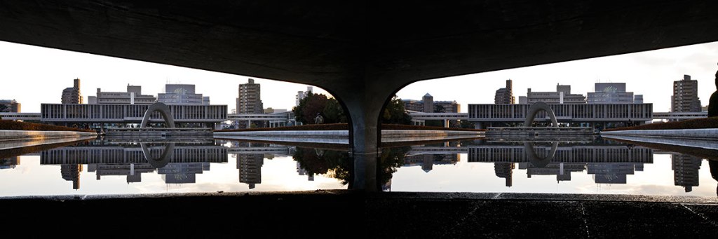
Hiroshima Peace Monument

町内風景
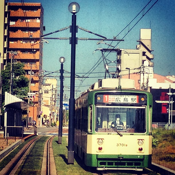
Tram view -Hiroshima's Ujina port #streetcarsightseeing #hiroshimajp

View from hotel room.
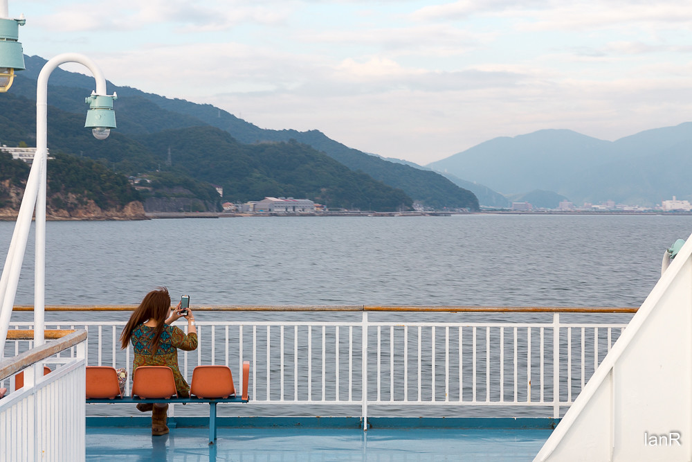
From the ferry

2014.02.04_02

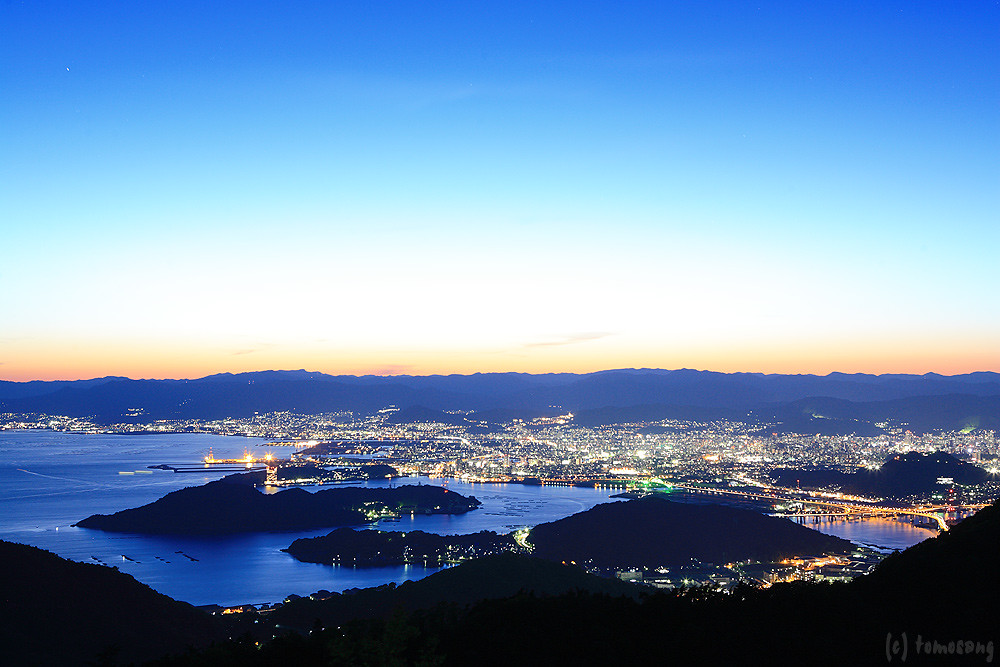
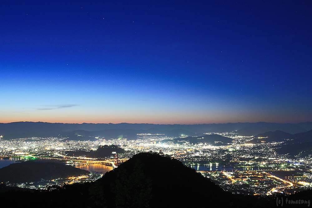
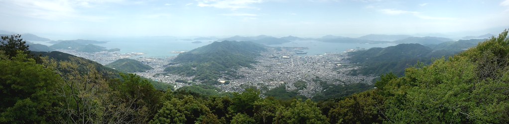
Overlooking Hiroshima City(6-3) 広島市俯瞰(6-3)

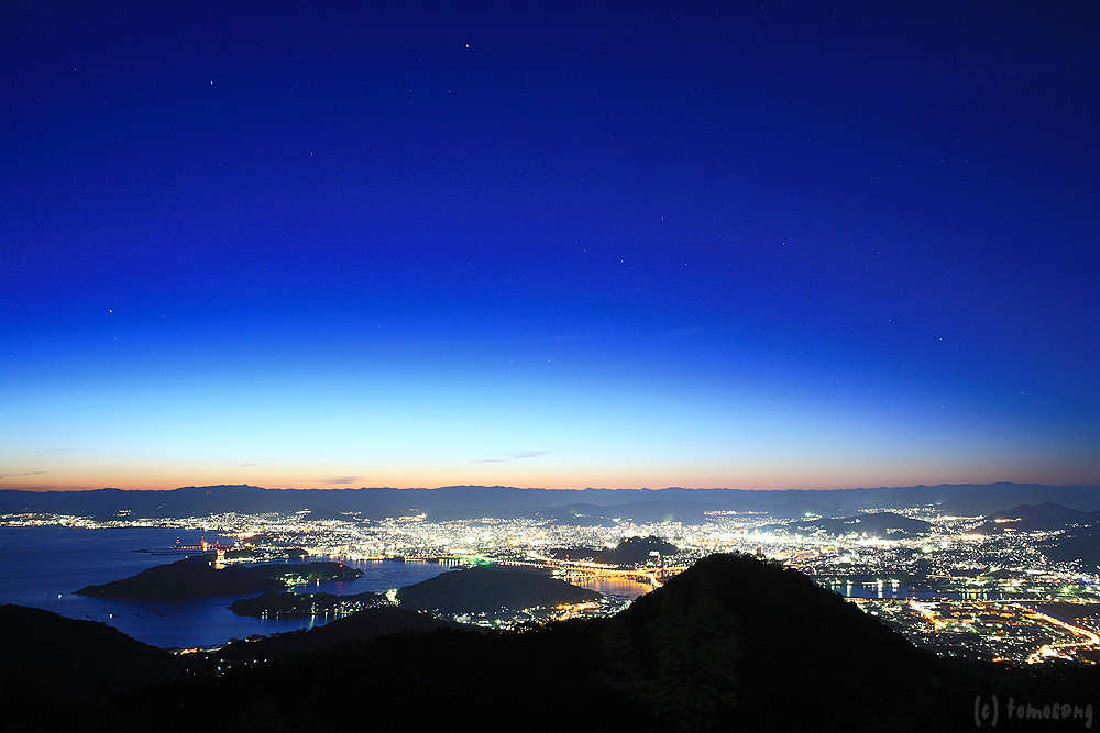
Overlooking Hiroshima City(6-2) 広島市俯瞰(6-2)

2014.02.04_01

Overlooking Hiroshima City(6-4) 広島市俯瞰(6-4)

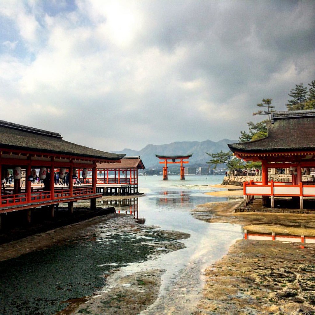
Miyajima, Japan

View from helicopter
Tennou station
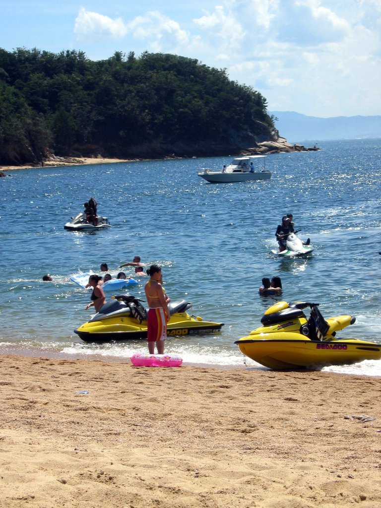
jet skis at Ganne beach

Yukio and the Zero
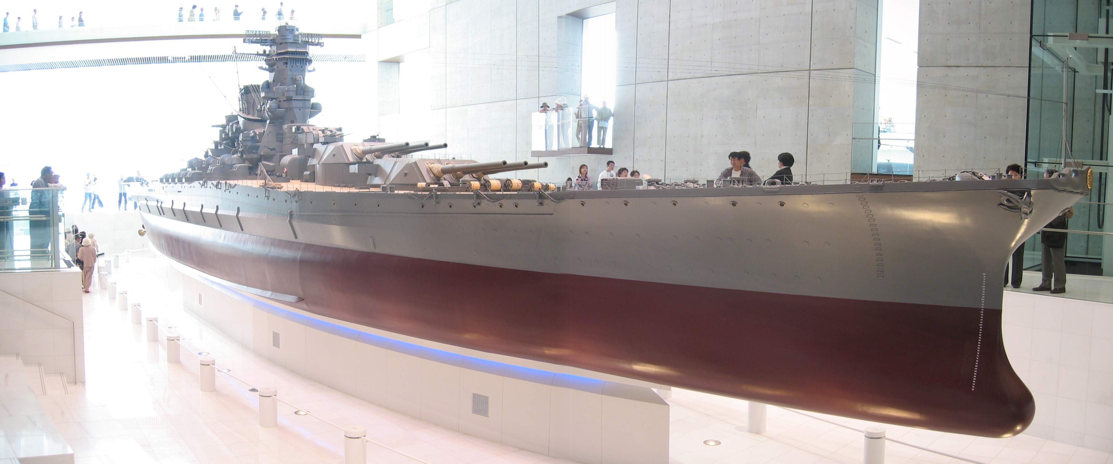
Yamato scale model
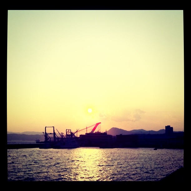
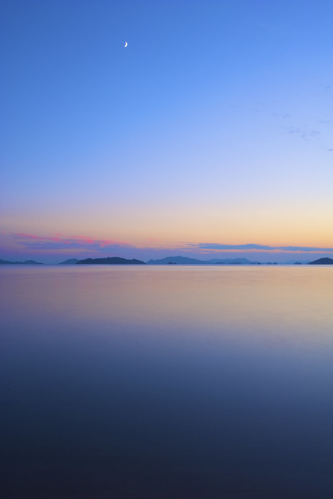
呉の夕陽
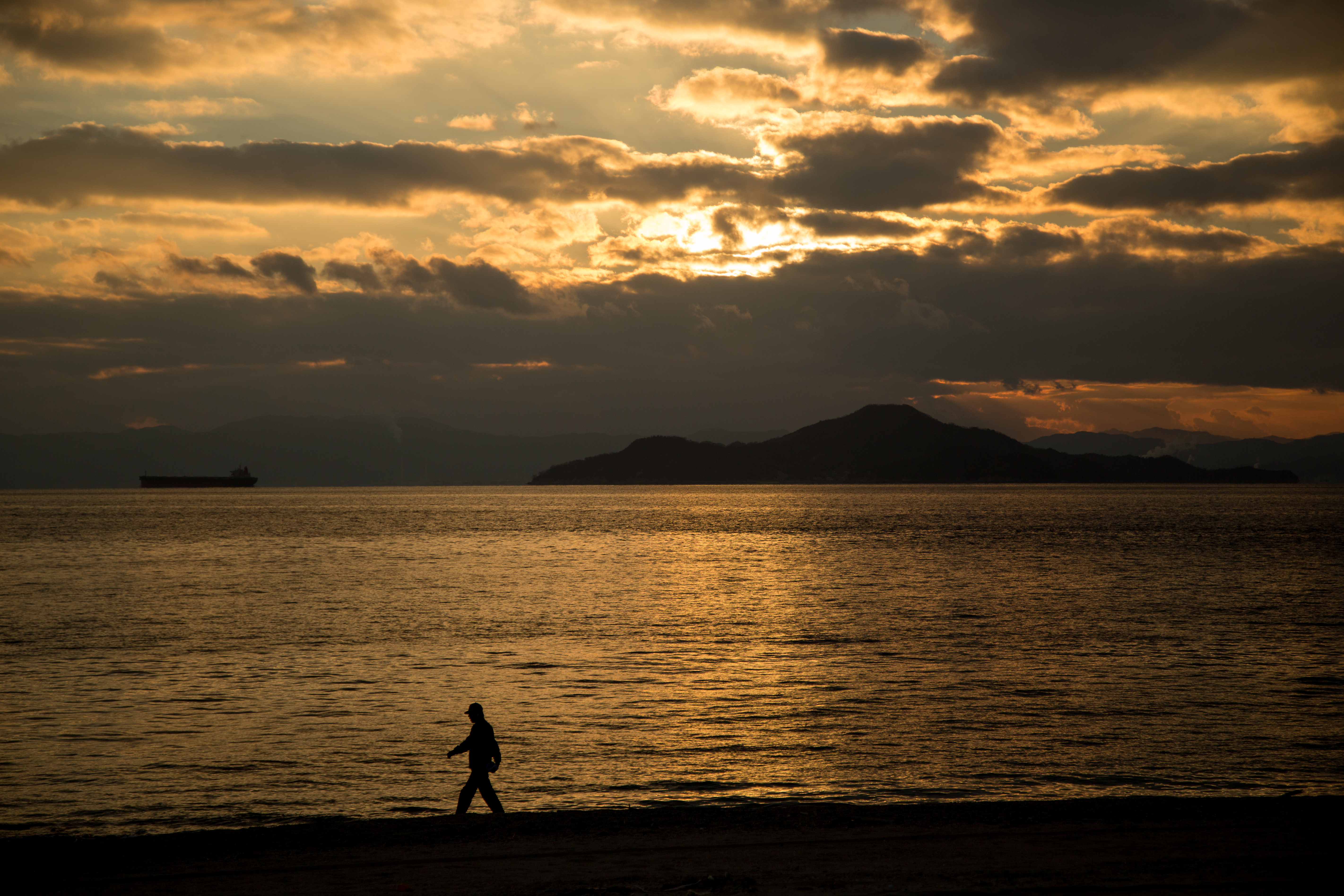
夕暮れの海辺散歩
the Peak of Mt. Ege
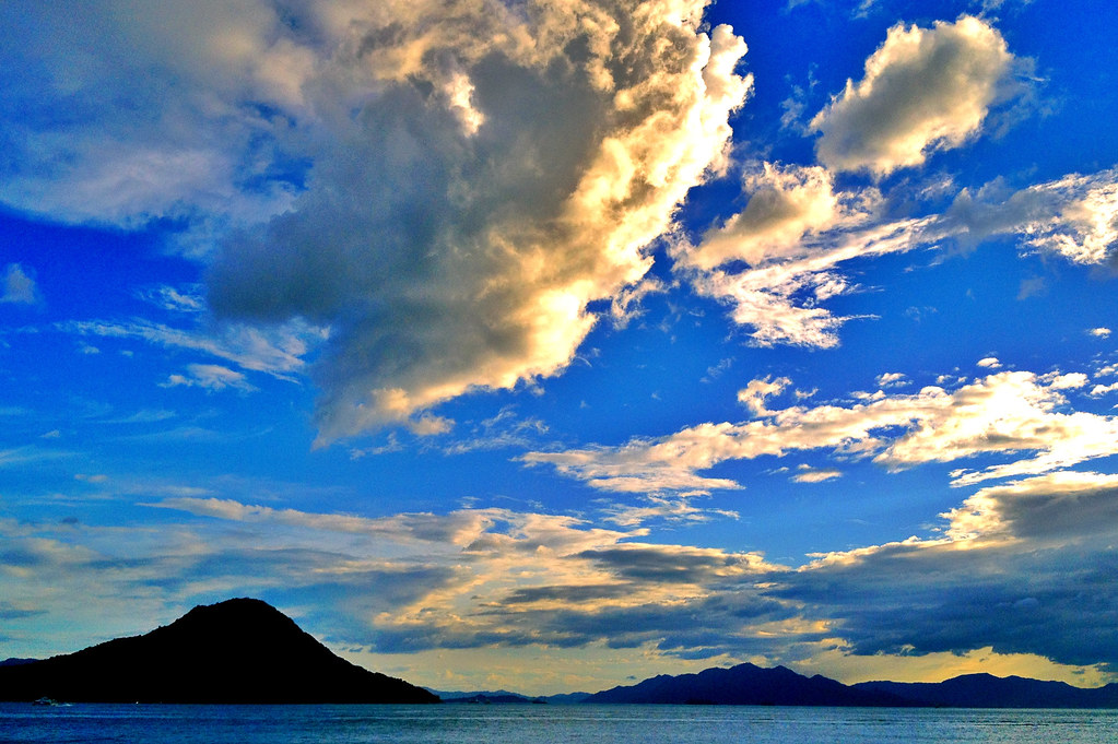
Inland sea, islands, sky and clouds.
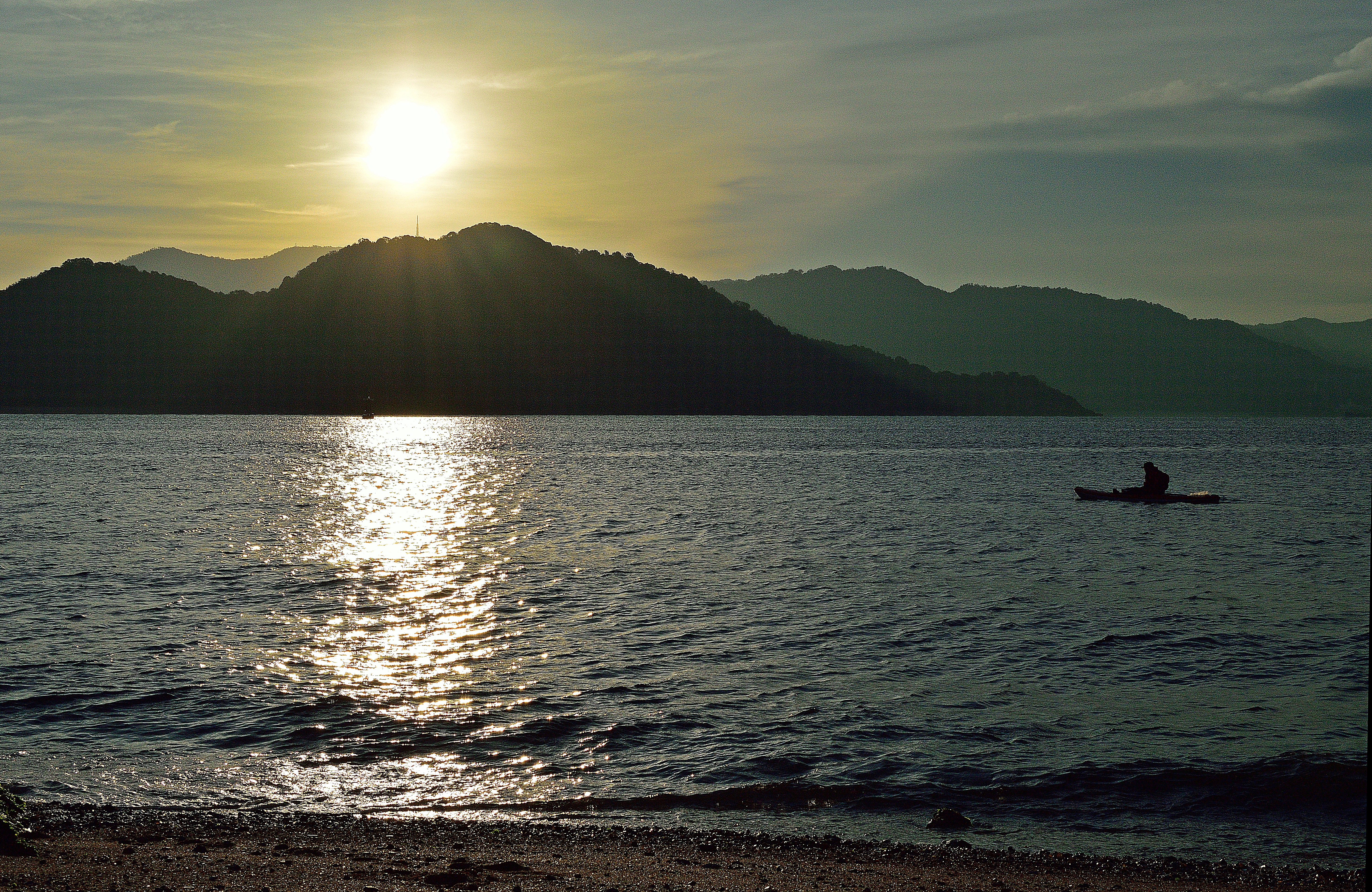
斜陽
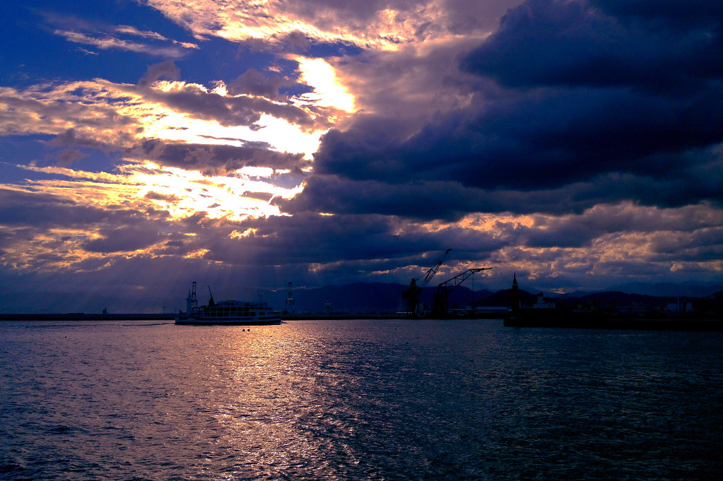
斜陽 #2

今日の広島湾♪( ´▽`)
the Peak of Mt. Ege

呉市警固屋4丁目 雁木 船溜
the Peak of Mt. Ege
i absolutely love this shrine!!
Mt. Haigamine

IMG-20111204-00108

IMG-20111204-00101

IMG-20111204-00103

to the Future

IMG_1756.jpg

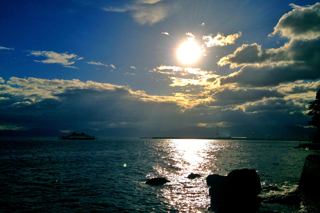
The light of the sun pouring into the sea.
宇品海岸5・Ujina Seashore
d071018093-ap3
IMG_1662.jpg
Topographic Map of 3 Chome-13-11 Etajimachō Akizuki, Etajima-shi, Hiroshima-ken -, Japan
Find elevation by address:

Places near 3 Chome-13-11 Etajimachō Akizuki, Etajima-shi, Hiroshima-ken -, Japan:
1 Chome-35-5 Etajimachō Washibe, Etajima-shi, Hiroshima-ken -, Japan
4 Chome-2-5 Etajimachō Washibe, Etajima-shi, Hiroshima-ken -, Japan
2 Chome-5-3 Etajimachō Kōnan, Etajima-shi, Hiroshima-ken -, Japan
1 Chome-21-24 Etajimachō Koyō, Etajima-shi, Hiroshima-ken -, Japan
4 Chome-13-17 Etajimachō Chūō, Etajima-shi, Hiroshima-ken -, Japan
Ōgakichō Hitonose, Etajima-shi, Hiroshima-ken -, Japan
Ōgakichō Kakiura, Etajima-shi, Hiroshima-ken -, Japan
3 Chome-28-1 Etajimachō Koyō, Etajima-shi, Hiroshima-ken -, Japan
2 Chome-47-2 Ondochō Tonoko, Kure-shi, Hiroshima-ken -, Japan
2 Chome-84-5 Ondochō Tahara, Kure-shi, Hiroshima-ken -, Japan
Etajima
Nōmichō Kanokawa, Etajima-shi, Hiroshima-ken -, Japan
Ōgakichō Obure, Etajima-shi, Hiroshima-ken -, Japan
3 Chome-23-11 Ondochō Tahara, Kure-shi, Hiroshima-ken -, Japan
2 Chome-12-45 Etajimachō Tsukumo, Etajima-shi, Hiroshima-ken -, Japan
3 Chome-2-8 Etajimachō Miyanohara, Etajima-shi, Hiroshima-ken -, Japan
Etajimachō, Etajima-shi, Hiroshima-ken -, Japan
3 Chome-50-8 Etajimachō Kirikushi, Etajima-shi, Hiroshima-ken -, Japan
2 Chome-3-9 Ondochōhata, Kure-shi, Hiroshima-ken -, Japan
1 Chome-10-12 Ondochō Hayase, Kure-shi, Hiroshima-ken -, Japan
Recent Searches:
- Elevation of Corso Fratelli Cairoli, 35, Macerata MC, Italy
- Elevation of Tallevast Rd, Sarasota, FL, USA
- Elevation of 4th St E, Sonoma, CA, USA
- Elevation of Black Hollow Rd, Pennsdale, PA, USA
- Elevation of Oakland Ave, Williamsport, PA, USA
- Elevation of Pedrógão Grande, Portugal
- Elevation of Klee Dr, Martinsburg, WV, USA
- Elevation of Via Roma, Pieranica CR, Italy
- Elevation of Tavkvetili Mountain, Georgia
- Elevation of Hartfords Bluff Cir, Mt Pleasant, SC, USA