Elevation of 86 Wharf Rd, Brooksville, ME, USA
Location: United States > Maine > Hancock County > Brooksville >
Longitude: -68.764667
Latitude: 44.3955221
Elevation: 15m / 49feet
Barometric Pressure: 101KPa
Elevation Map:
Satellite Map:
Related Photos:
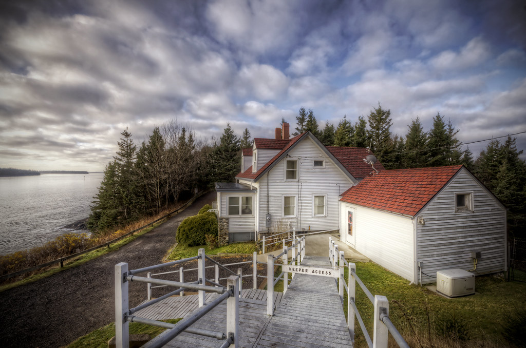
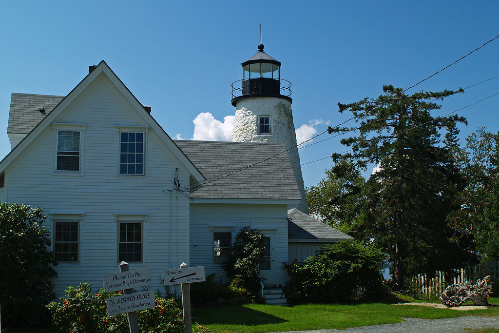
Keeper's Access
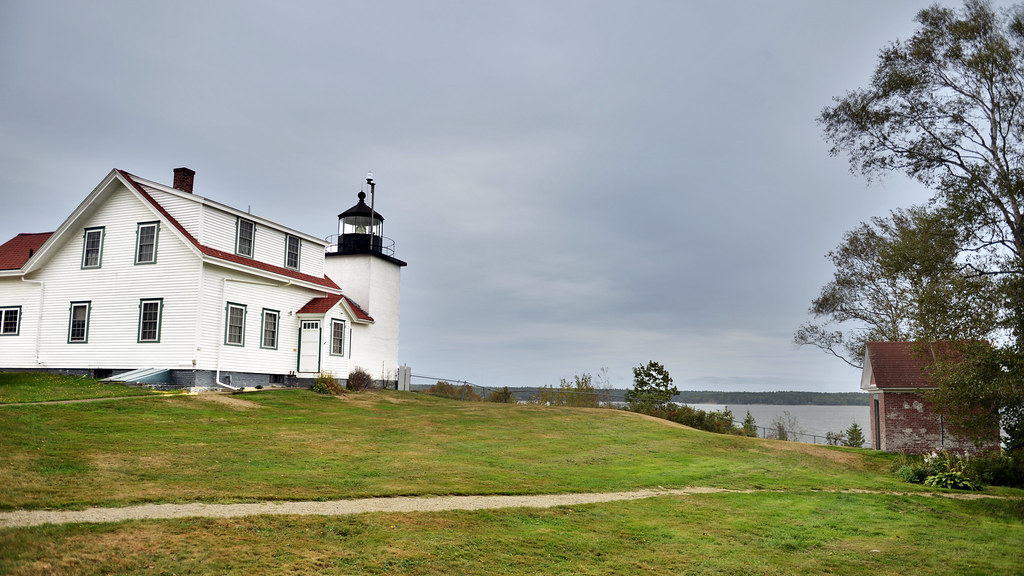
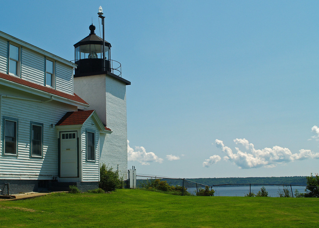
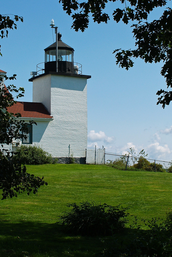
Fort Point Lighthouse, Maine
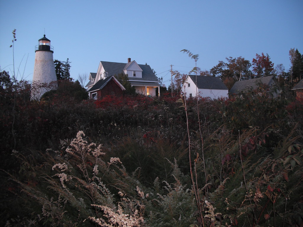
Dyce Head Light in Castine, Maine
Campsite, Sears Island, Maine
Penobscot View
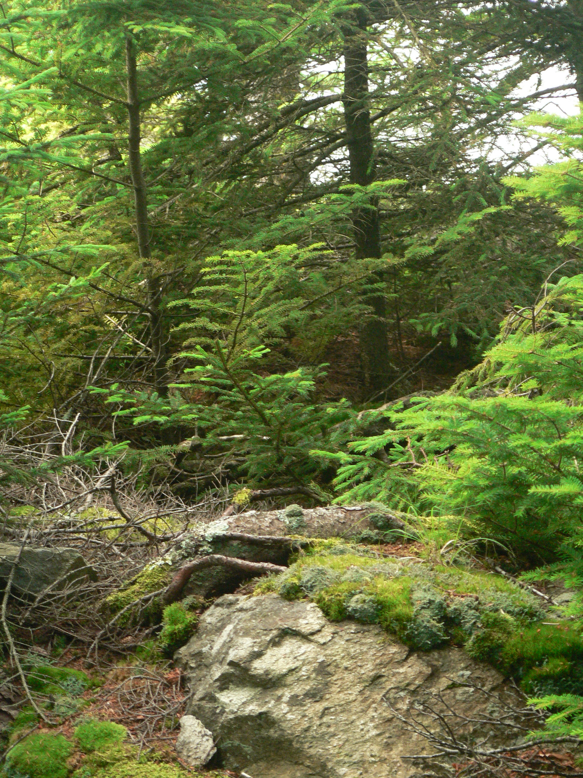
A Shaded View
Street View

view from ledge in front of Thresholds

Magnifier View

R_20090831181356_162-Edit
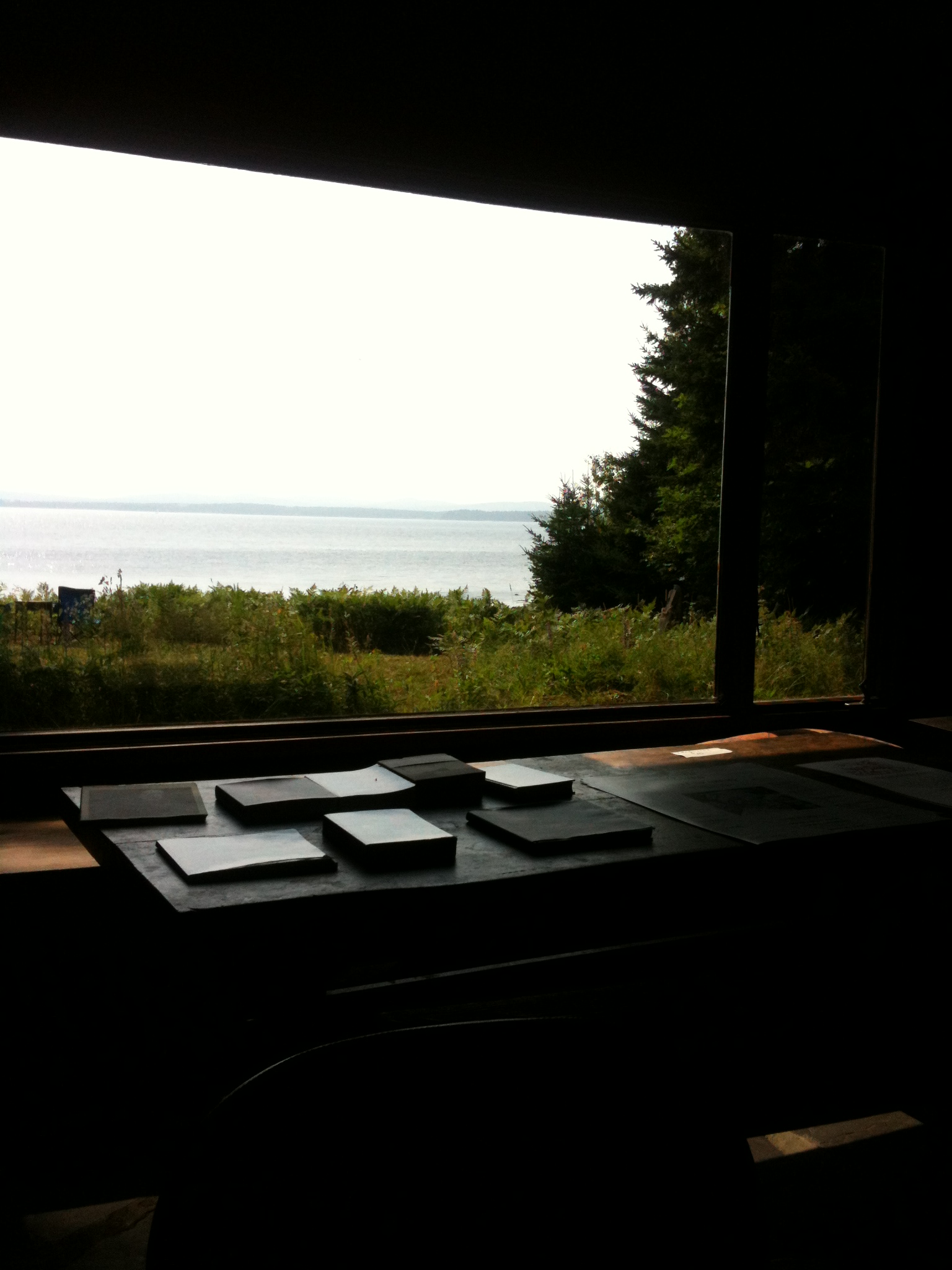
View from the Good Life Center

The lighthouse at Fort Point, Maine
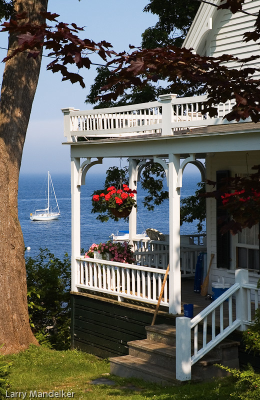
View From The Porch

Aerial View (1) of the Deer Isle - Sedgwick Bridge
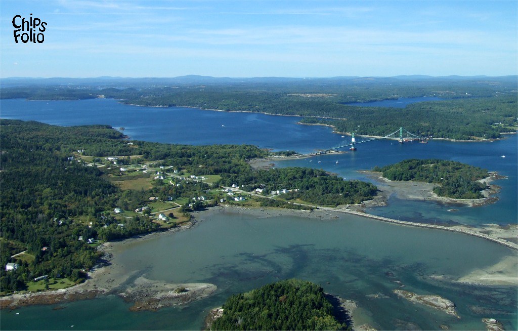
Aerial View of Little Deer Isle and the Deer Isle - Sedgwick Bridge

Fall coastal views

Sausage at the Fair

Floral View
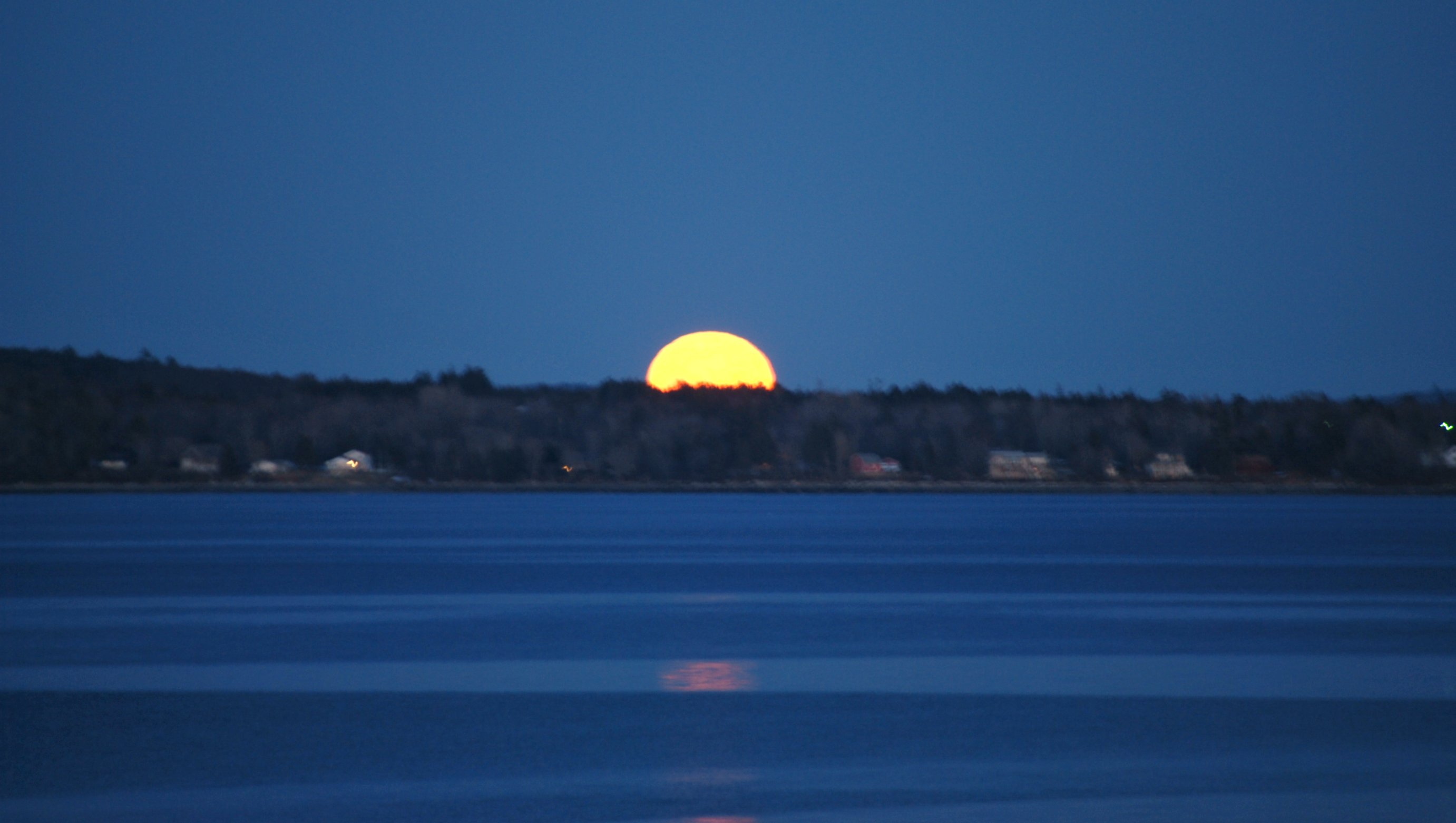
Maine view of Supermoon

Coastal October views from Islesboro
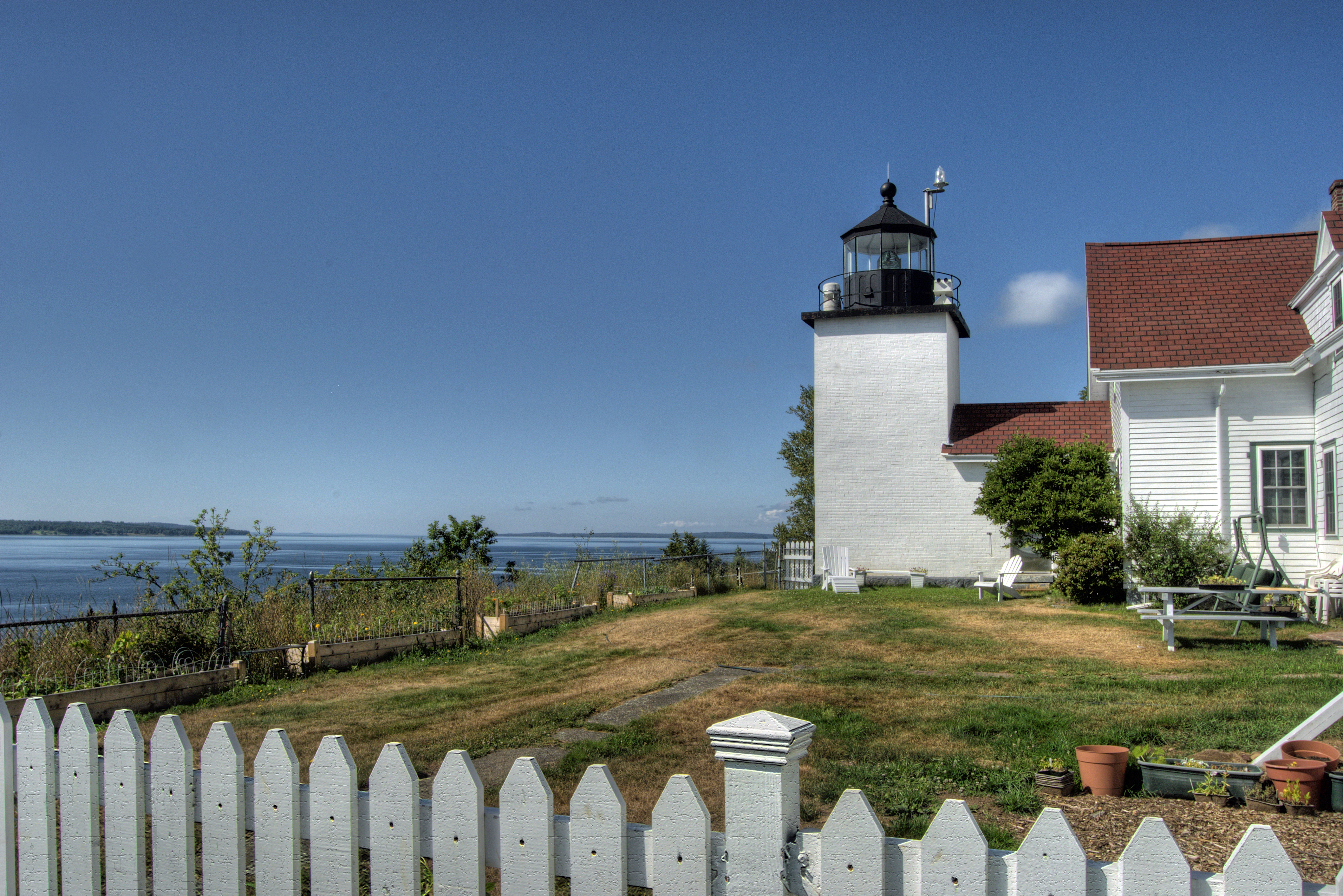
Fort Point Light, Northeast Side View

British Canal
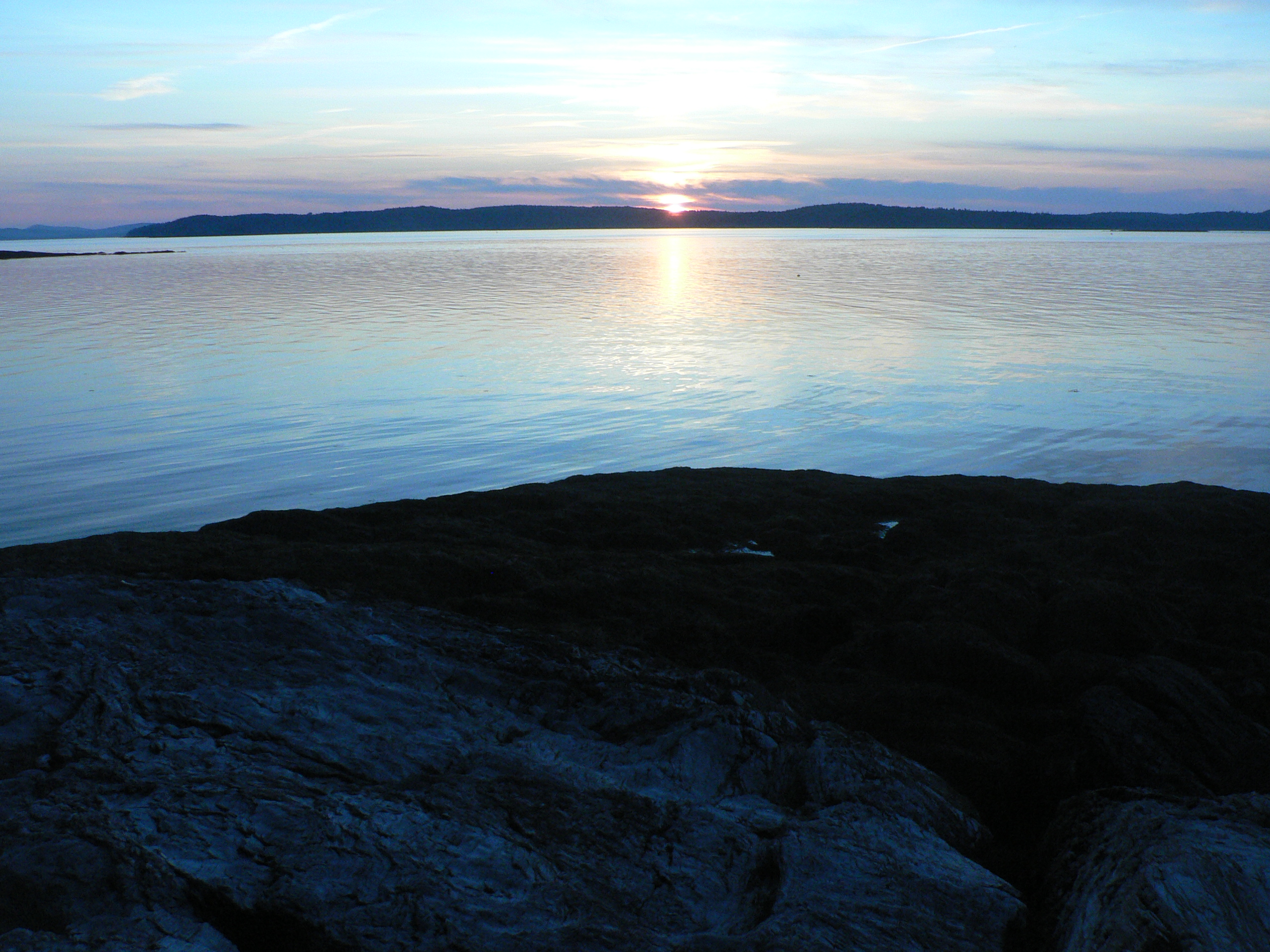
Thresholds sunset - Little Deer Isle ME 20090711 036
Thresholds sunset - Little Deer Isle ME 20090711 034
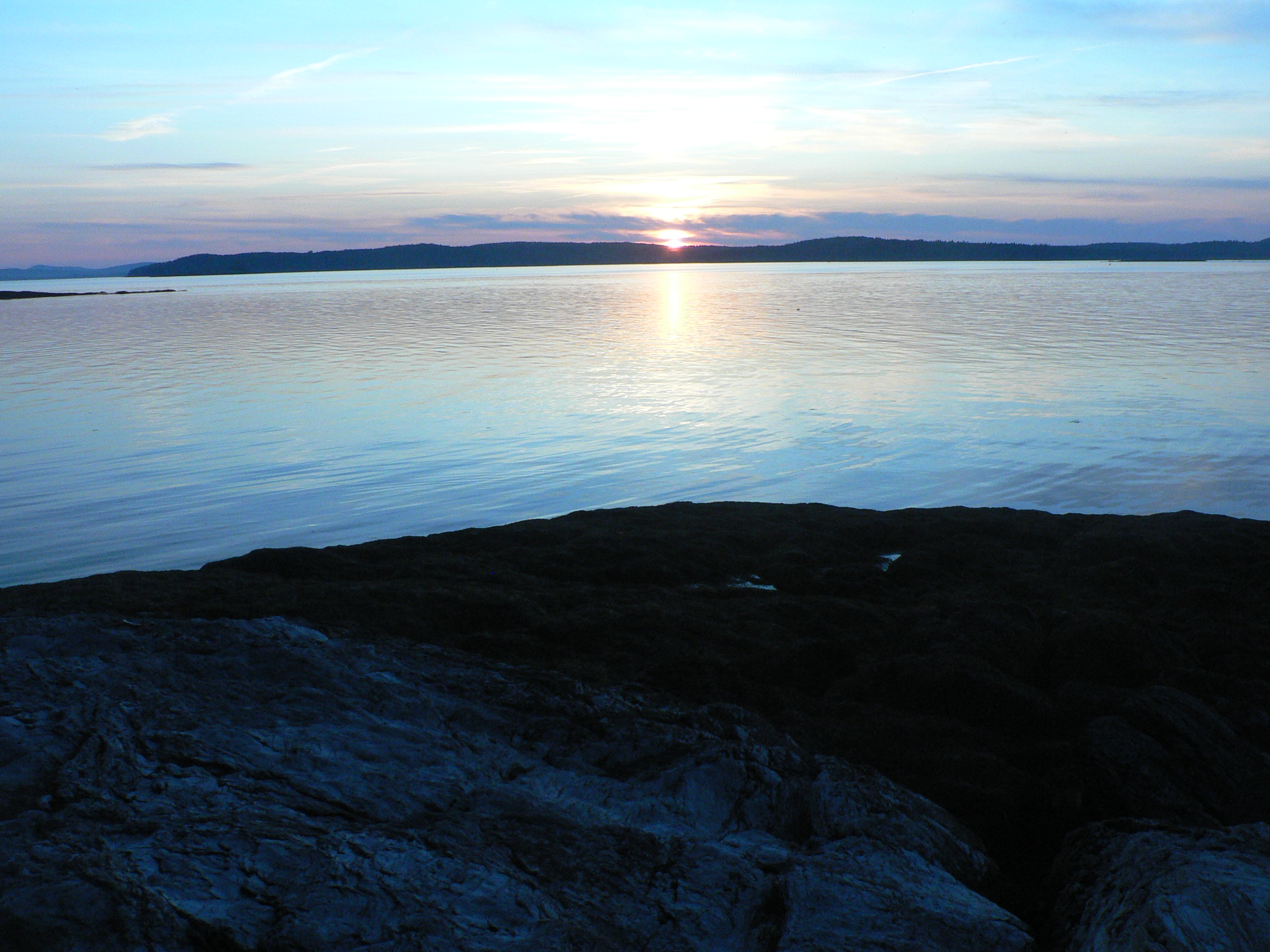
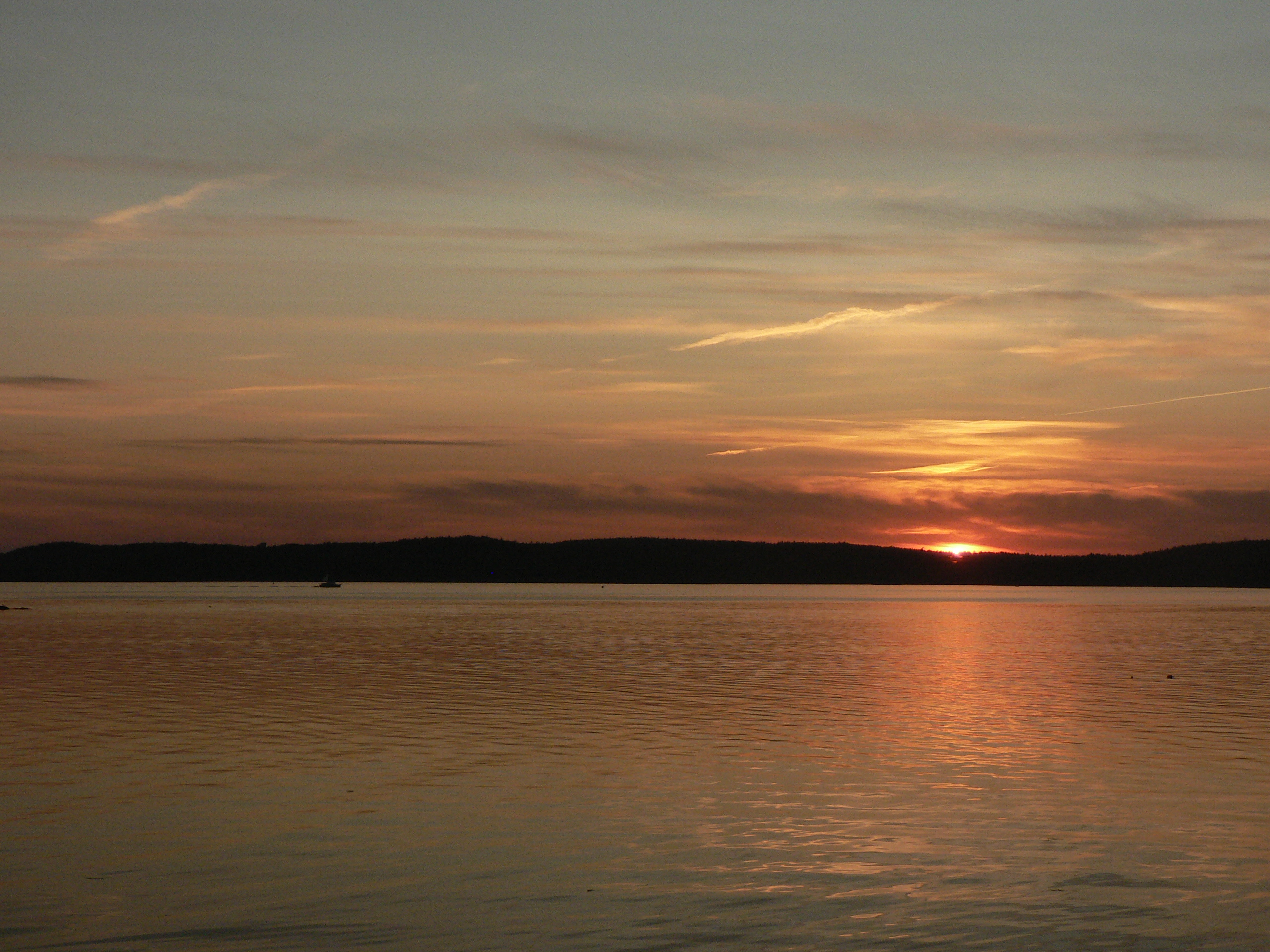
Thresholds sunset - Little Deer Isle ME 20090711 037
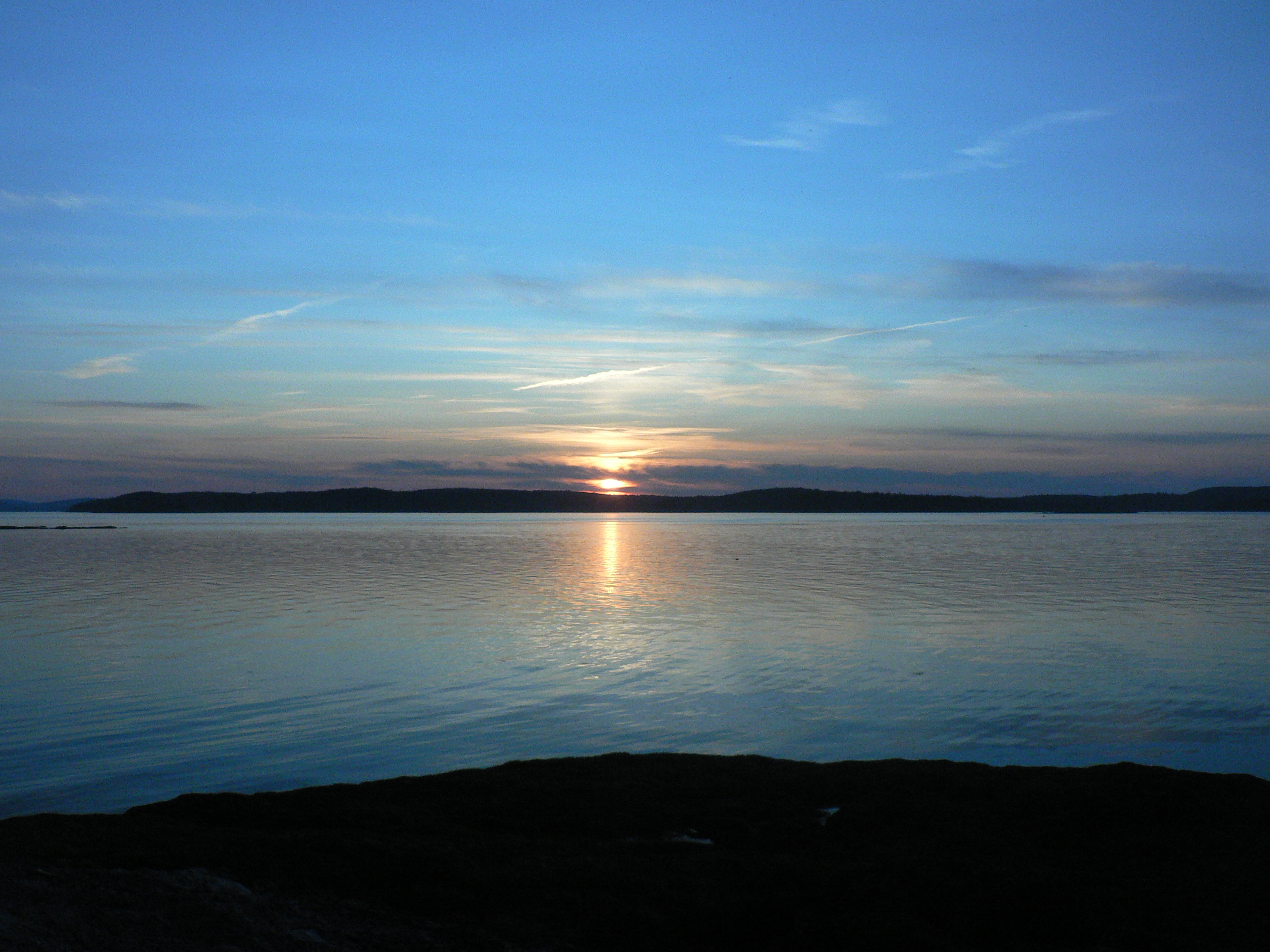
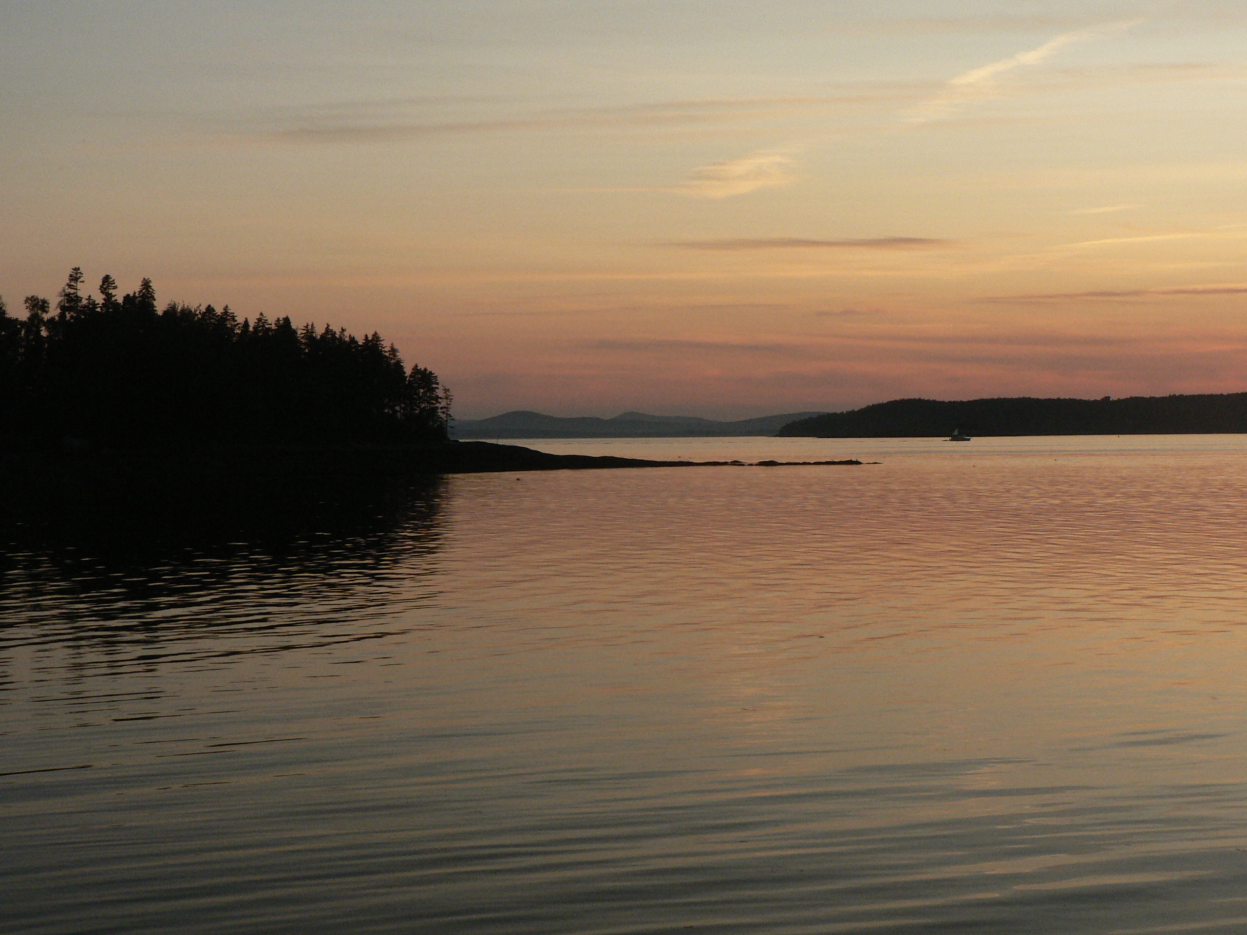
Thresholds sunset - Little Deer Isle ME 20090711 035
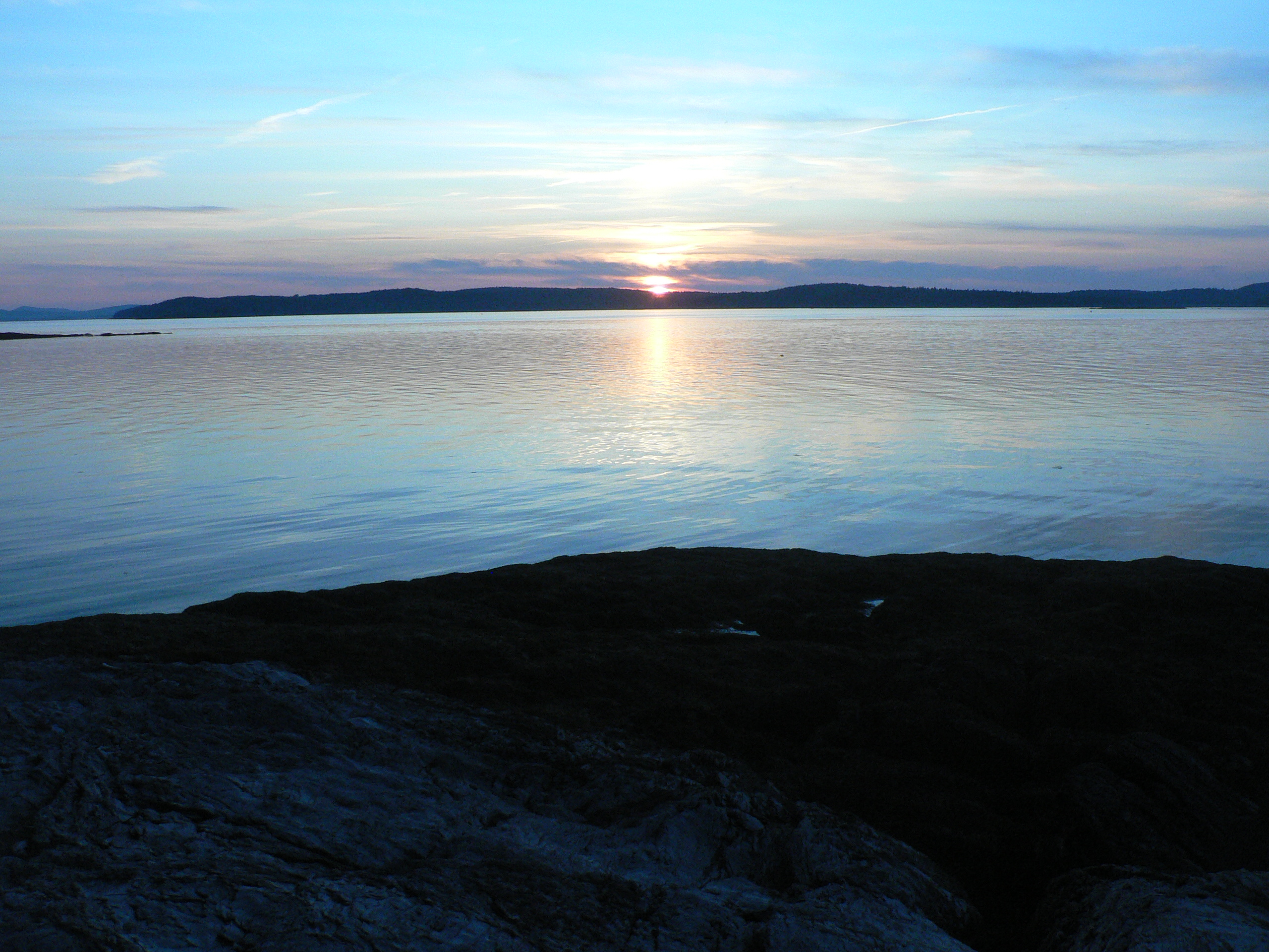
Thresholds sunset - Little Deer Isle ME 20090711 038

Thresholds sunset - Little Deer Isle ME 20090711 041

Thresholds sunset - Little Deer Isle ME 20090711 039
Van Buren's - Little Deer Isle ME 20090714091
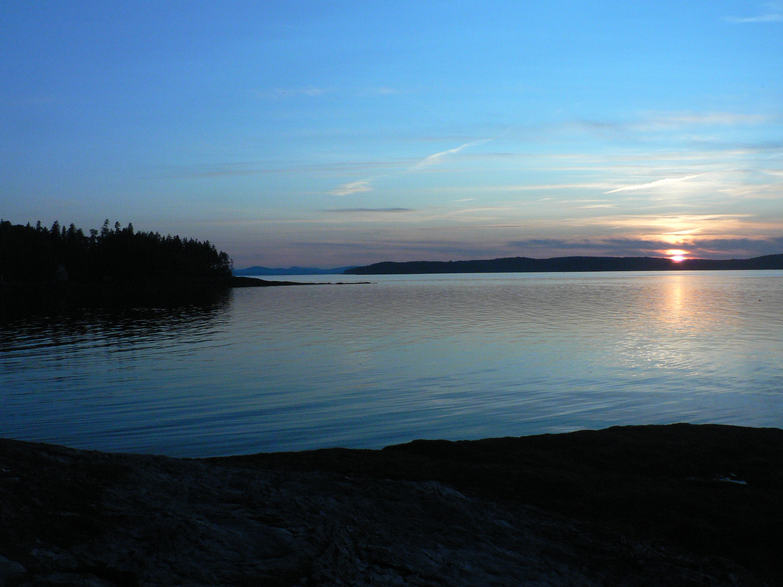
Thresholds sunset - Little Deer Isle ME 20090711 040
Van Buren's - Little Deer Isle ME 20090714010
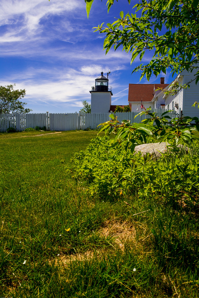
Fort Point Light House.
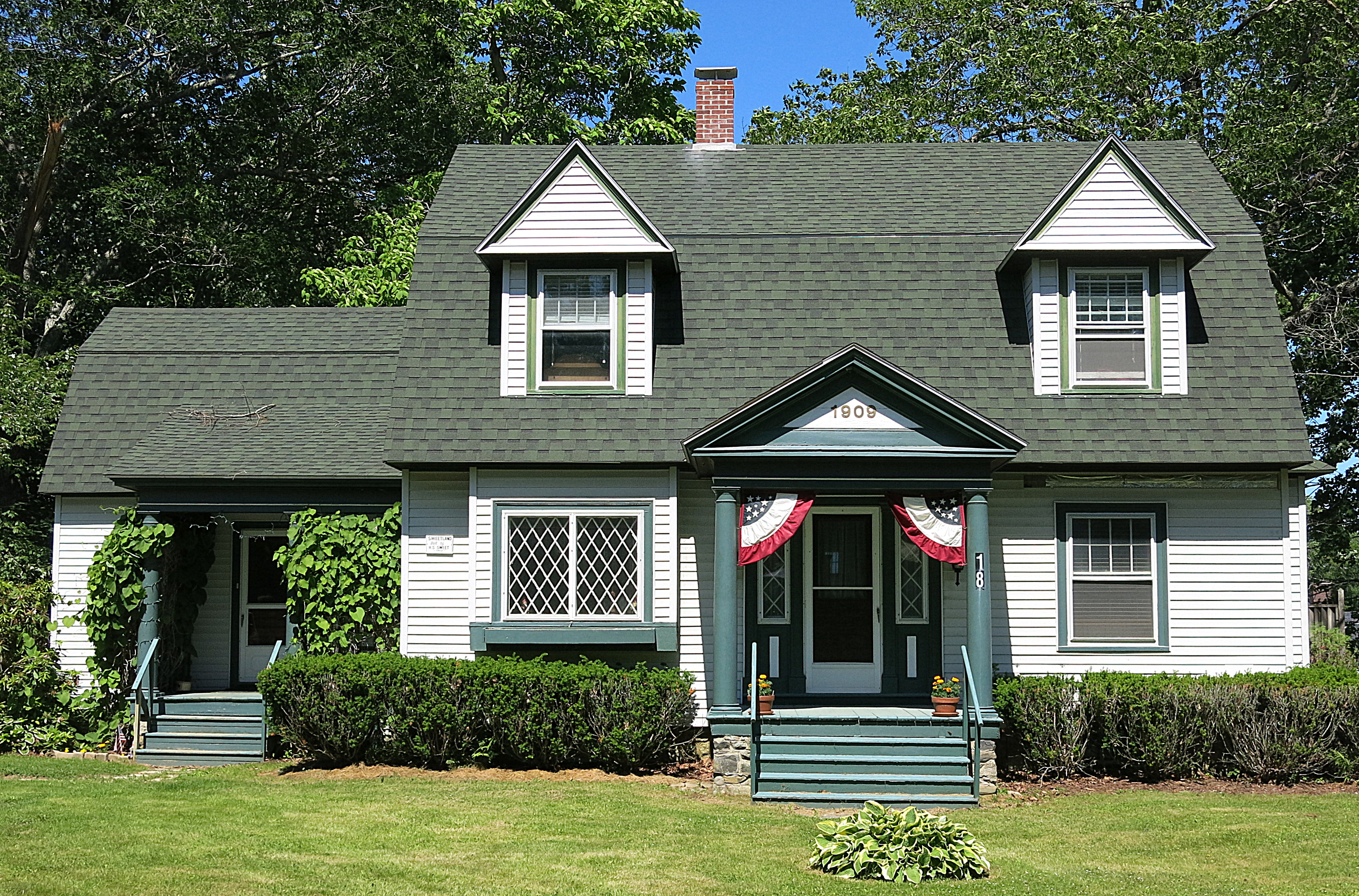
1909: A house in Blue Hill, Maine, USA

Thresholds sunset - Little Deer Isle ME 20090711 045

Van Buren's - Little Deer Isle ME 20090714016

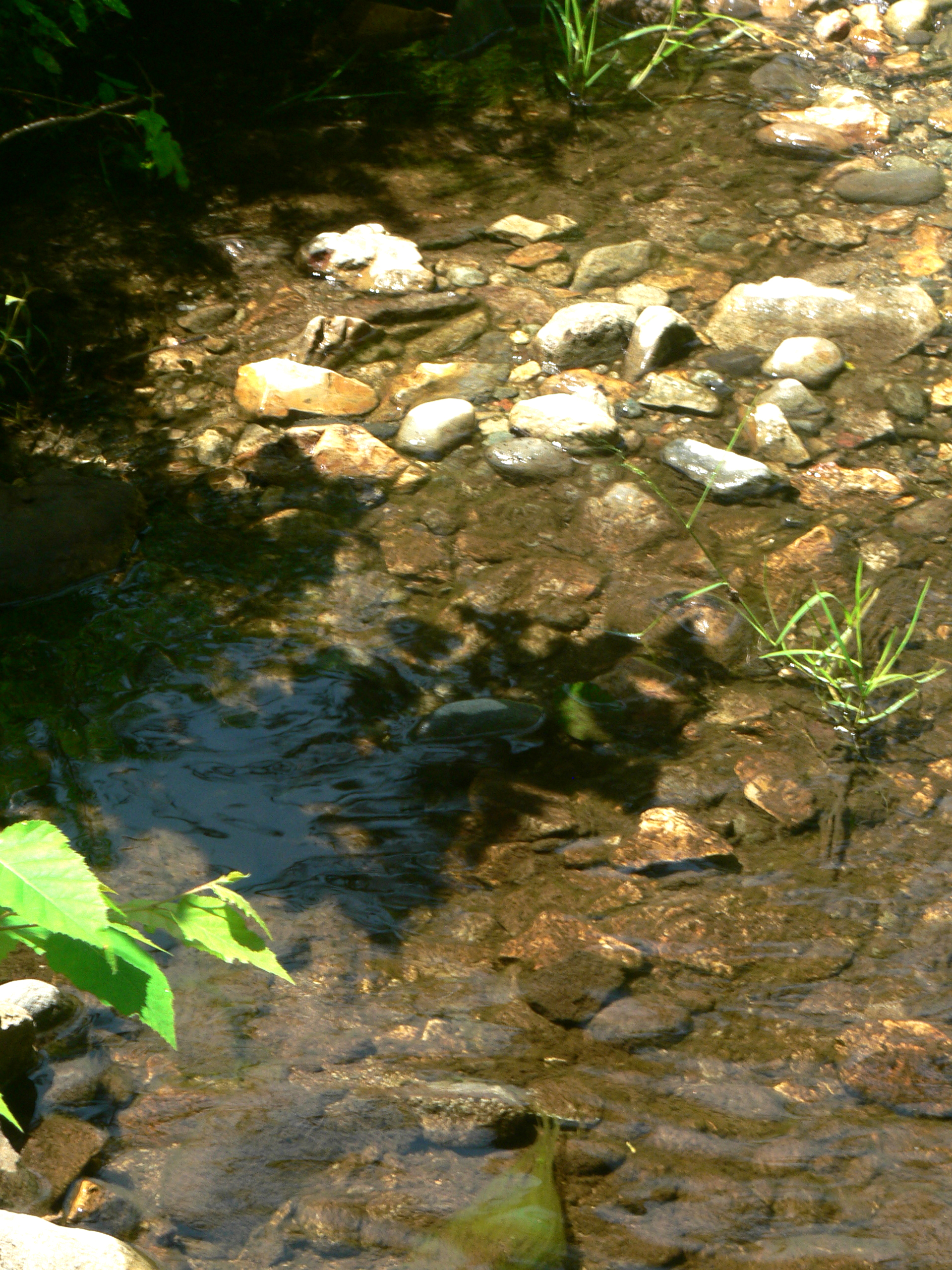
The Mill Stream and Harbor
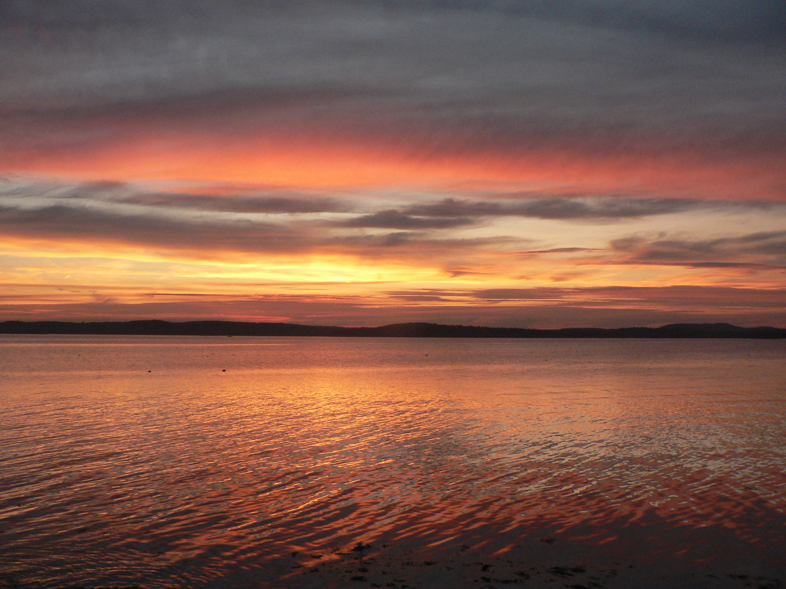
Thresholds sunset - Little Deer Isle ME 20090721 064
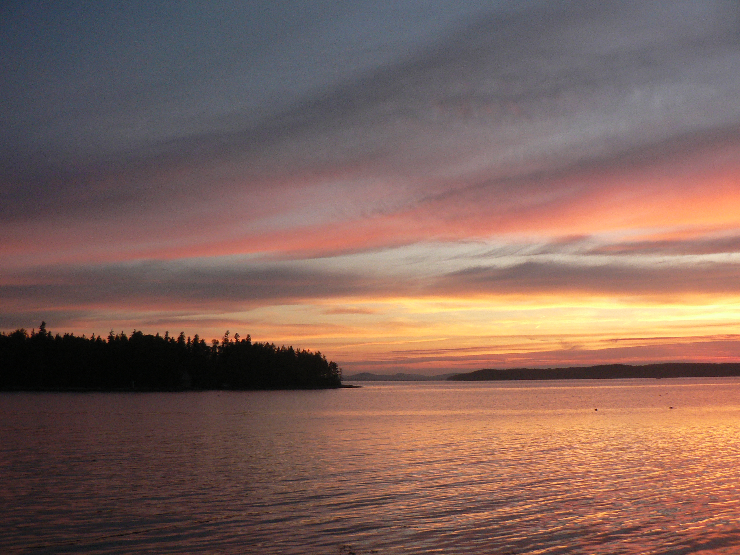
Thresholds sunset - Little Deer Isle ME 20090721 066
Thresholds sunset - Little Deer Isle ME 20090711 051
Thresholds sunset - Little Deer Isle ME 20090711 050
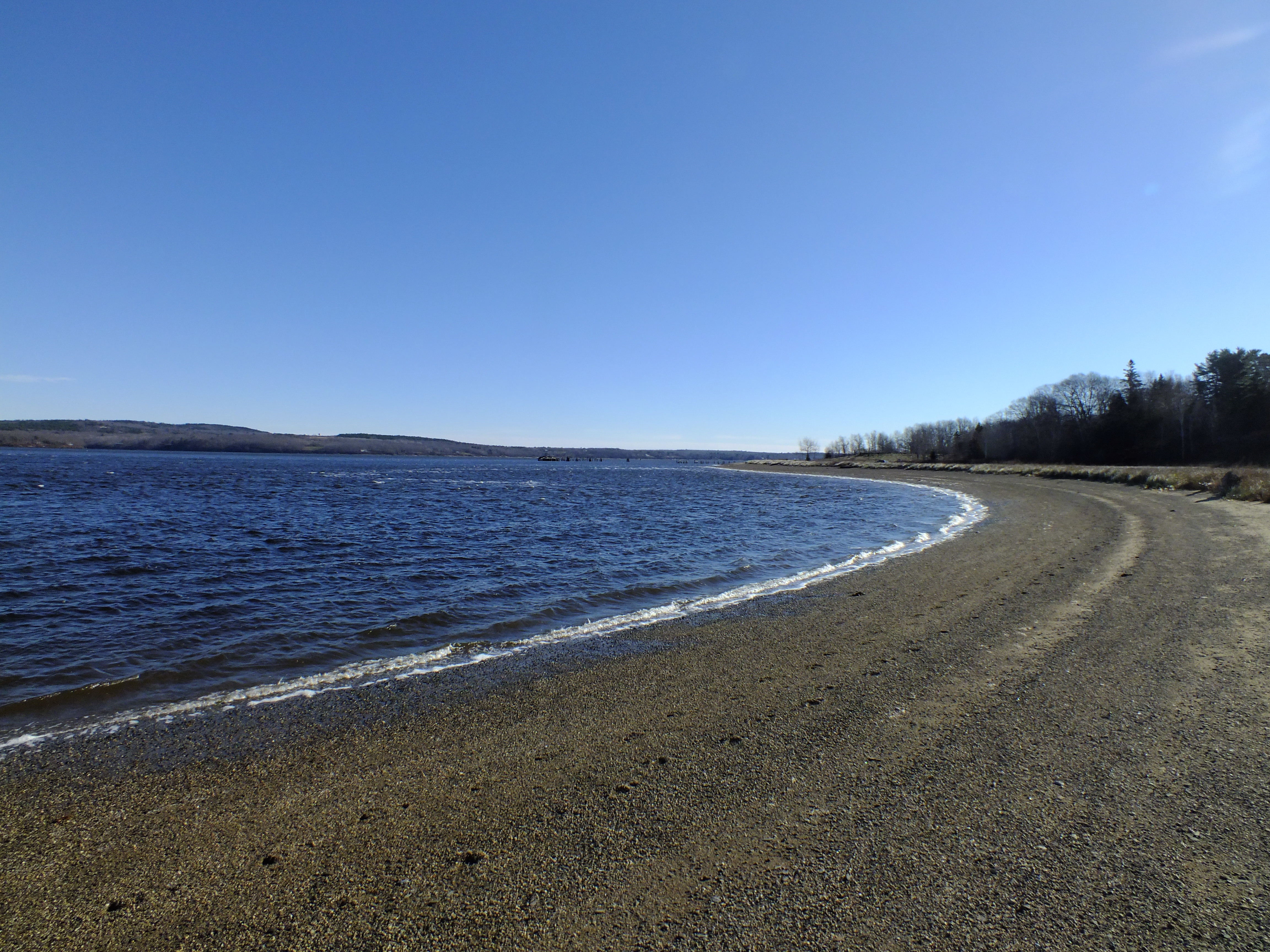
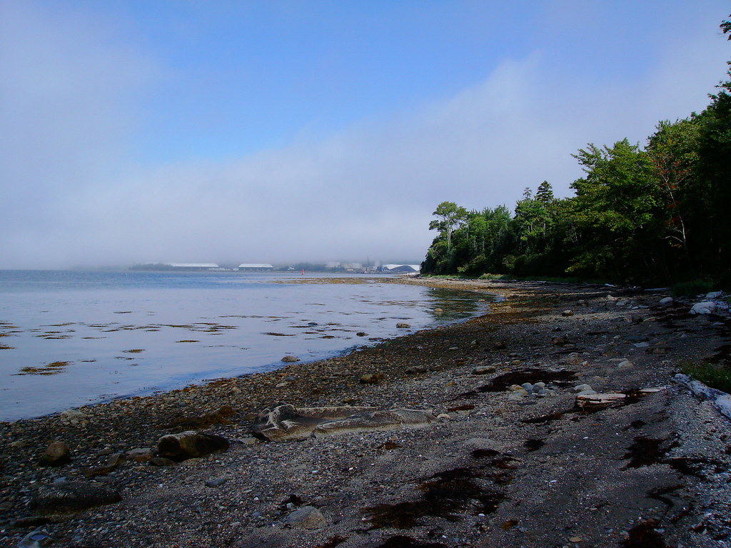
Sandy Point Beach
Topographic Map of 86 Wharf Rd, Brooksville, ME, USA
Find elevation by address:

Places near 86 Wharf Rd, Brooksville, ME, USA:
86 Wharf Rd
86 Wharf Rd
86 Wharf Rd
68 Reynolds Rd
80 Moontide
89 Moontide
339 Castine Rd
186 Varnum Rd
5 Perkins St
5 Perkins St
258 Coastal Rd
Castine
Indian Bar Rd, Harborside, ME, USA
706 Coastal Rd
310 Cape Rosier Rd
1001 Coastal Rd
494 Cape Rosier Rd
7 Mill Ln
68 Flatlander Ave
126 Perkins St
Recent Searches:
- Elevation of Corso Fratelli Cairoli, 35, Macerata MC, Italy
- Elevation of Tallevast Rd, Sarasota, FL, USA
- Elevation of 4th St E, Sonoma, CA, USA
- Elevation of Black Hollow Rd, Pennsdale, PA, USA
- Elevation of Oakland Ave, Williamsport, PA, USA
- Elevation of Pedrógão Grande, Portugal
- Elevation of Klee Dr, Martinsburg, WV, USA
- Elevation of Via Roma, Pieranica CR, Italy
- Elevation of Tavkvetili Mountain, Georgia
- Elevation of Hartfords Bluff Cir, Mt Pleasant, SC, USA