Elevation of 78 Manker St, Brunson, SC, USA
Location: United States > South Carolina >
Longitude: -81.187081
Latitude: 32.9255752
Elevation: 41m / 135feet
Barometric Pressure: 101KPa
Elevation Map:
Satellite Map:
Related Photos:
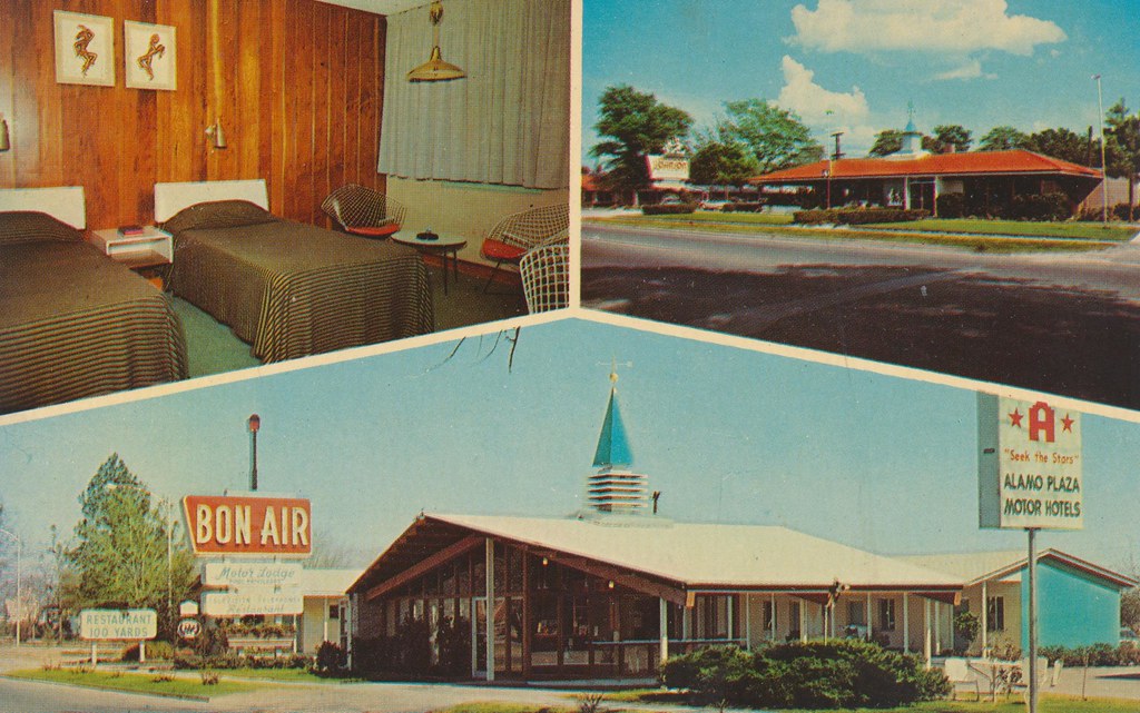
Bon-Air Motor Lodge - Allendale, South Carolina
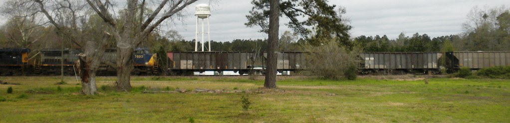
Gifford SC

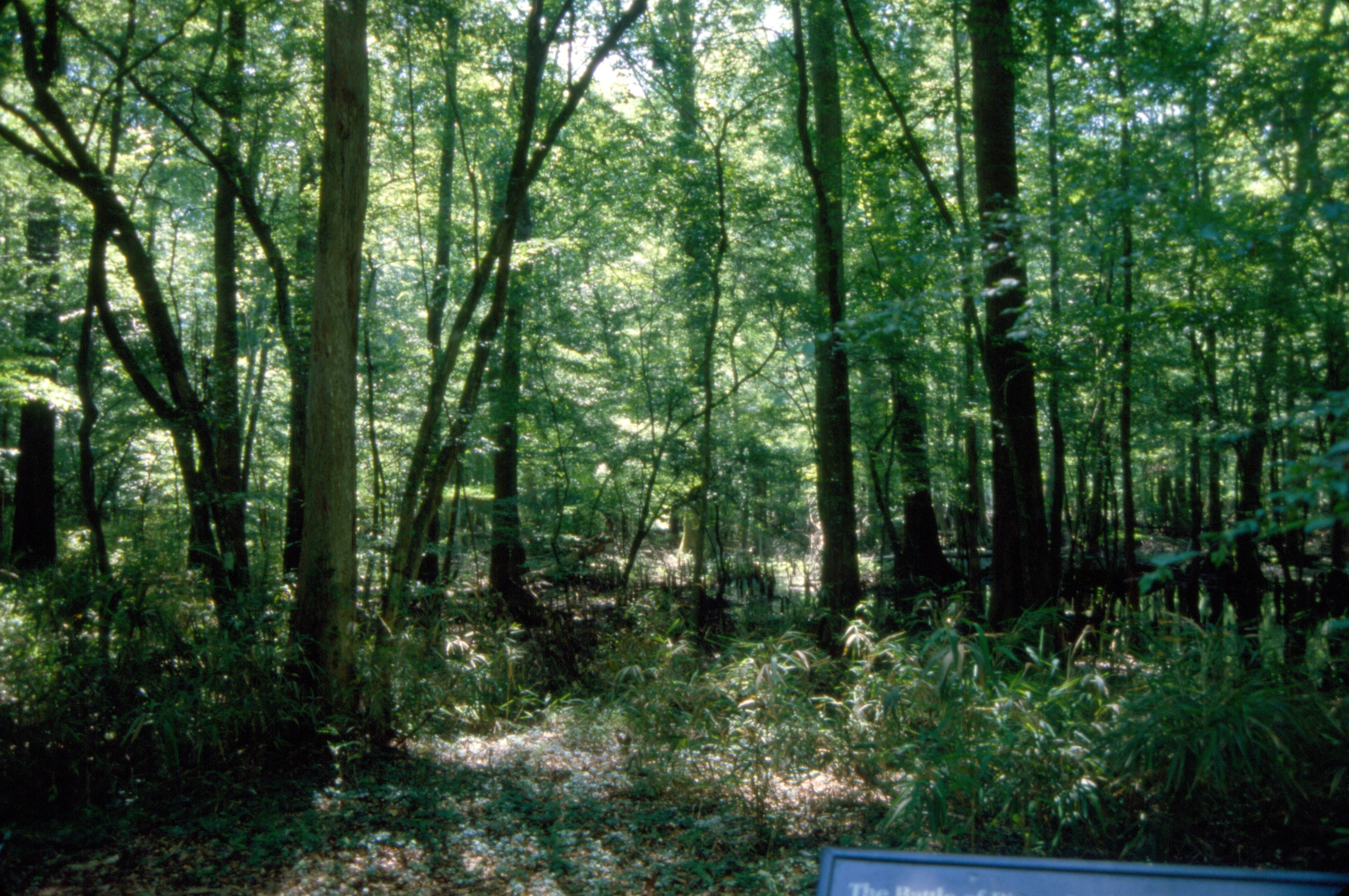
Cypress growing in Conagree National Park, South Carolina/ Swamp/ Cypress/ United State of america/ SC
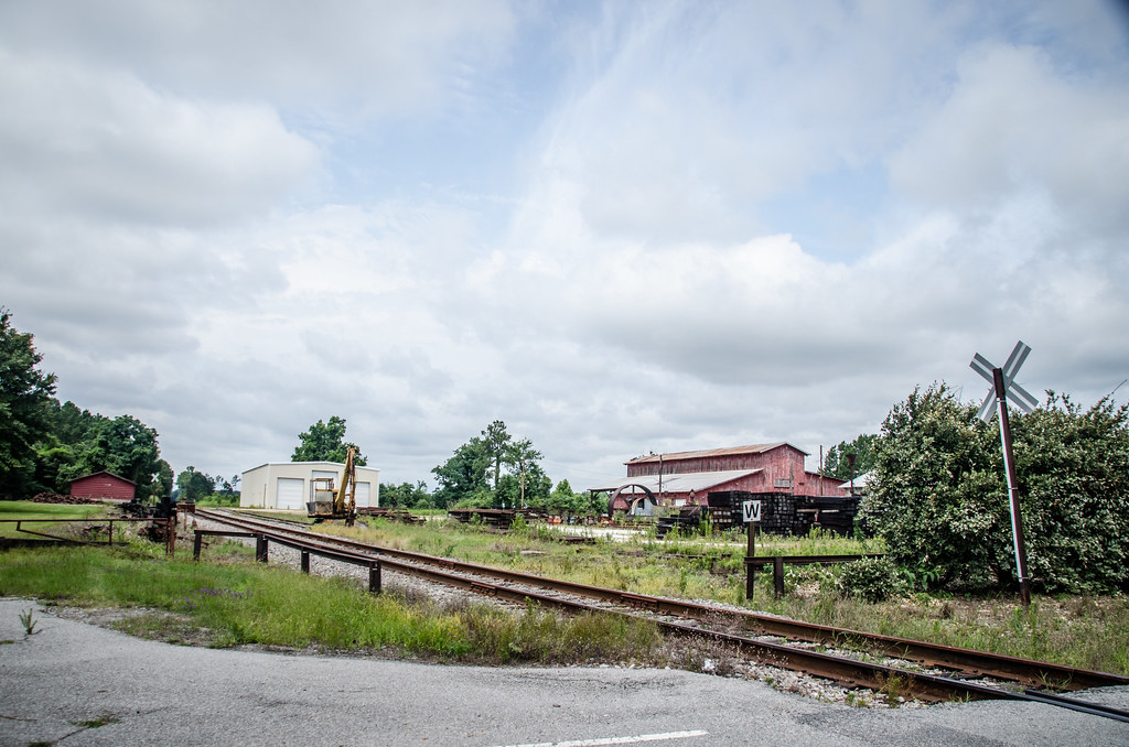
Miley Lumber
794 Battle River Bridge Img264_32
789 Battle Rivers Bridge Img_2897
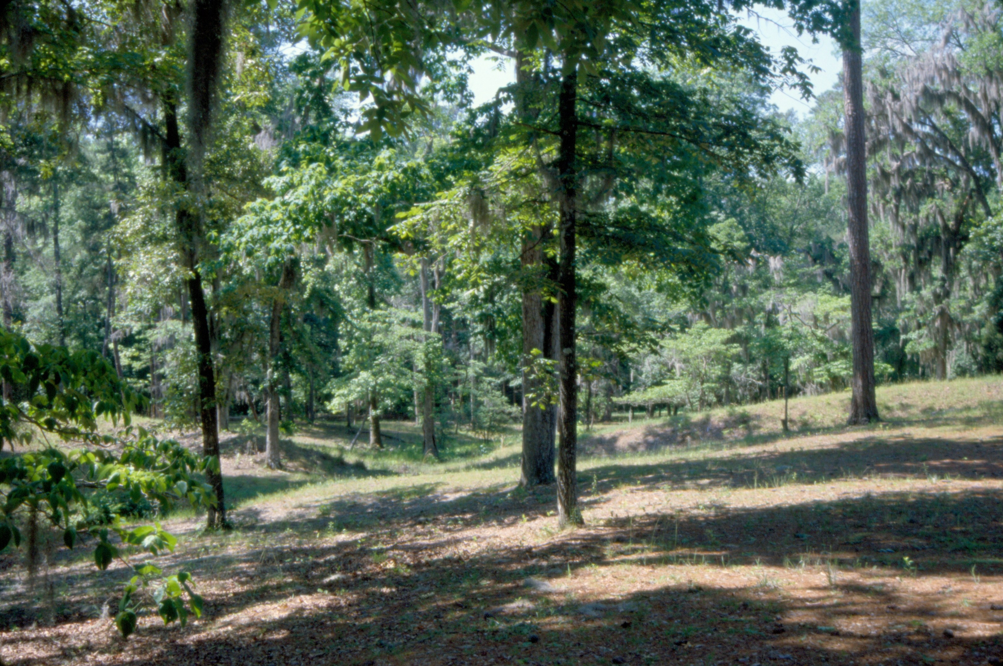
Forest Trail
796 Battle River Bridge Img264_33
797 Battle Rivers Bridge Img_2905
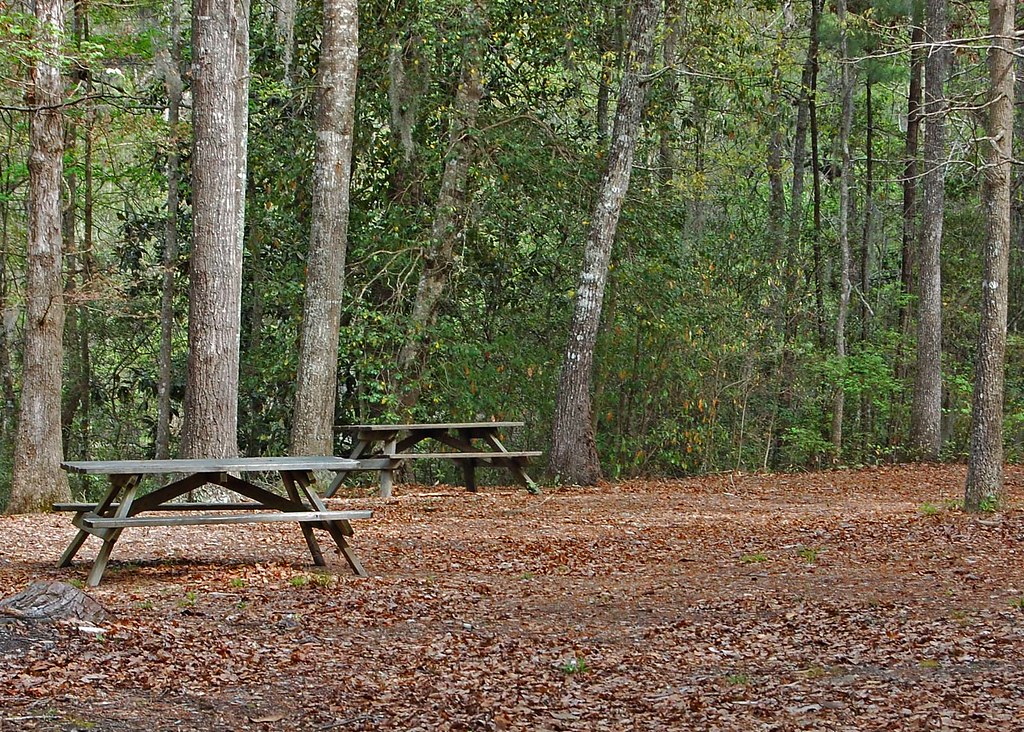
Picnic Area

806 Battle River Bridge Img265_02
800 Battle River Bridge Img264_35

792 Battle Rivers Bridge Img_2900
802 Battle Rivers Bridge Img_2909

805 Battle River Bridge Img265_01
Topographic Map of 78 Manker St, Brunson, SC, USA
Find elevation by address:

Places near 78 Manker St, Brunson, SC, USA:
Fairfax
Hampton County
Burton's Ferry Hwy, Allendale, SC, USA
Barnwell Rd, Allendale, SC, USA
Estill
Augusta Hwy, Allendale, SC, USA
Allendale County
Mt Nebo Rd, Lodge, SC, USA
Islandton
Lodge
Lodge Hwy, Lodge, SC, USA
58 State Rd S-27-16, Early Branch, SC, USA
Bamberg County
Early Branch
Martin
Barnwell, SC, USA
Hunter Drive
3421 State Rd S-6-29
Mcphersonville
Barnwell
Recent Searches:
- Elevation of Corso Fratelli Cairoli, 35, Macerata MC, Italy
- Elevation of Tallevast Rd, Sarasota, FL, USA
- Elevation of 4th St E, Sonoma, CA, USA
- Elevation of Black Hollow Rd, Pennsdale, PA, USA
- Elevation of Oakland Ave, Williamsport, PA, USA
- Elevation of Pedrógão Grande, Portugal
- Elevation of Klee Dr, Martinsburg, WV, USA
- Elevation of Via Roma, Pieranica CR, Italy
- Elevation of Tavkvetili Mountain, Georgia
- Elevation of Hartfords Bluff Cir, Mt Pleasant, SC, USA