Elevation of 58 State Rd S-27-16, Early Branch, SC, USA
Location: United States > South Carolina > Jasper County >
Longitude: -81.019471
Latitude: 32.673761
Elevation: 30m / 98feet
Barometric Pressure: 101KPa
Elevation Map:
Satellite Map:
Related Photos:

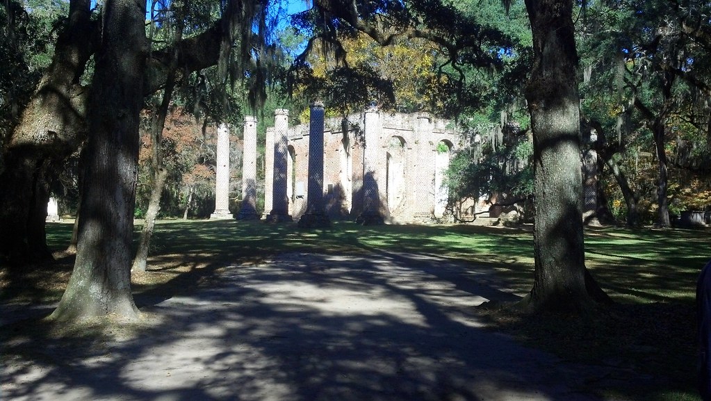
Frampton Plantation House
#Monterapose #plantation

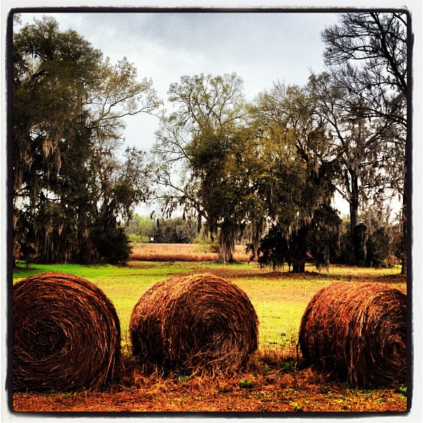
2012-11-10_13-55-22_335
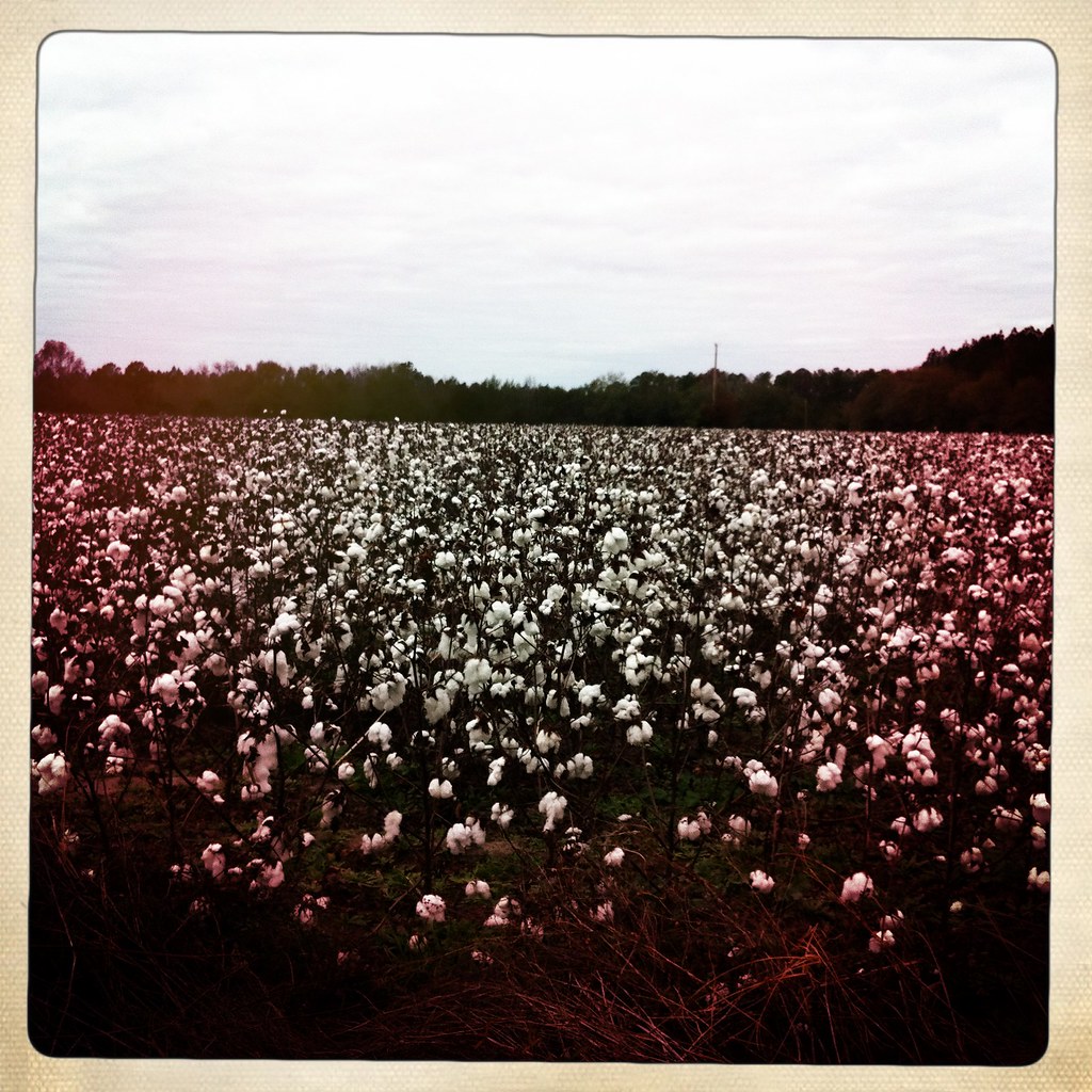
2012-11-10_13-53-46_749
HIP_344104685.517663

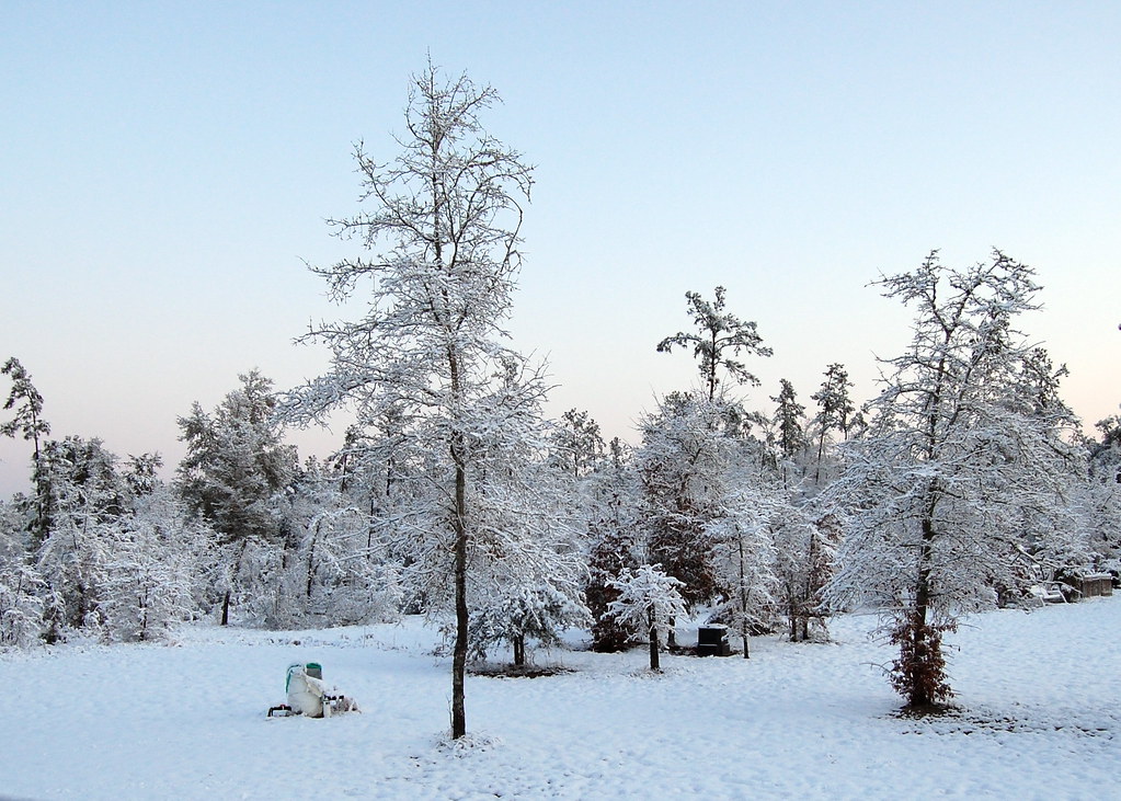
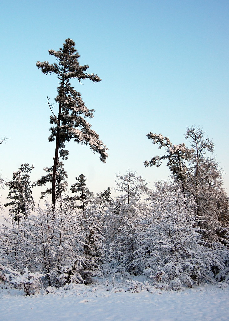
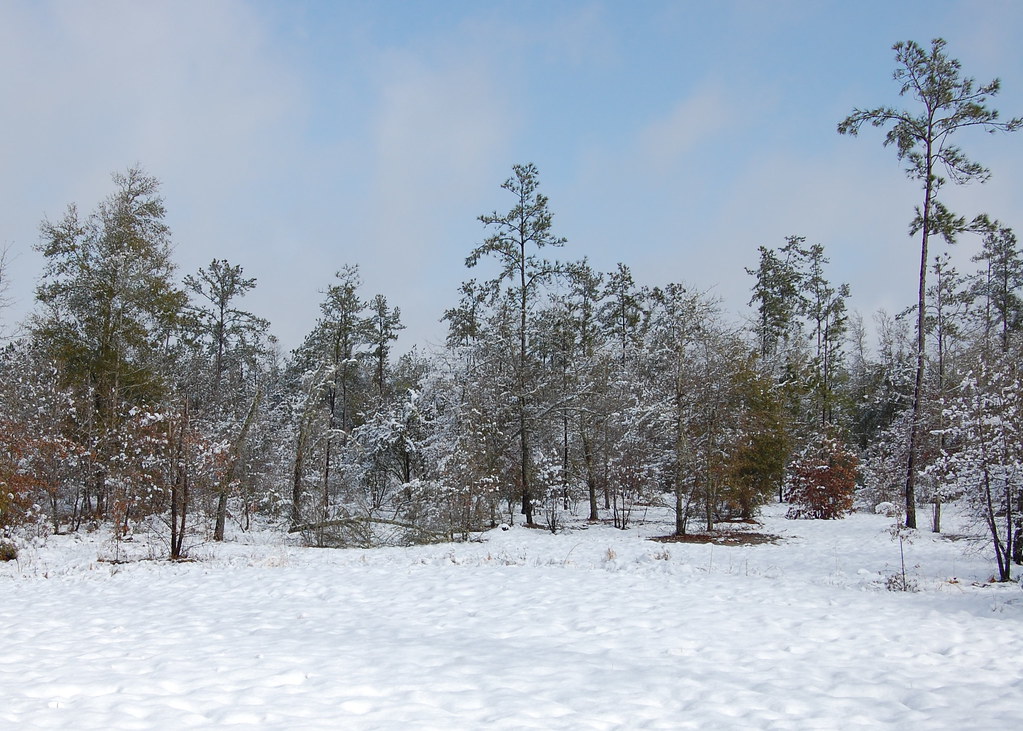
Snowy Landscape
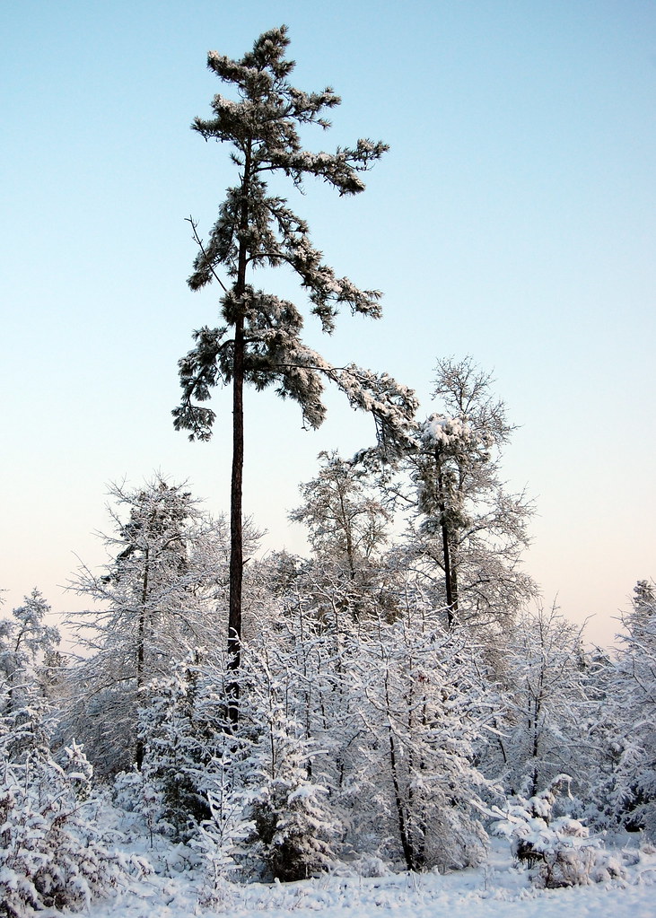
Snowy Landscape

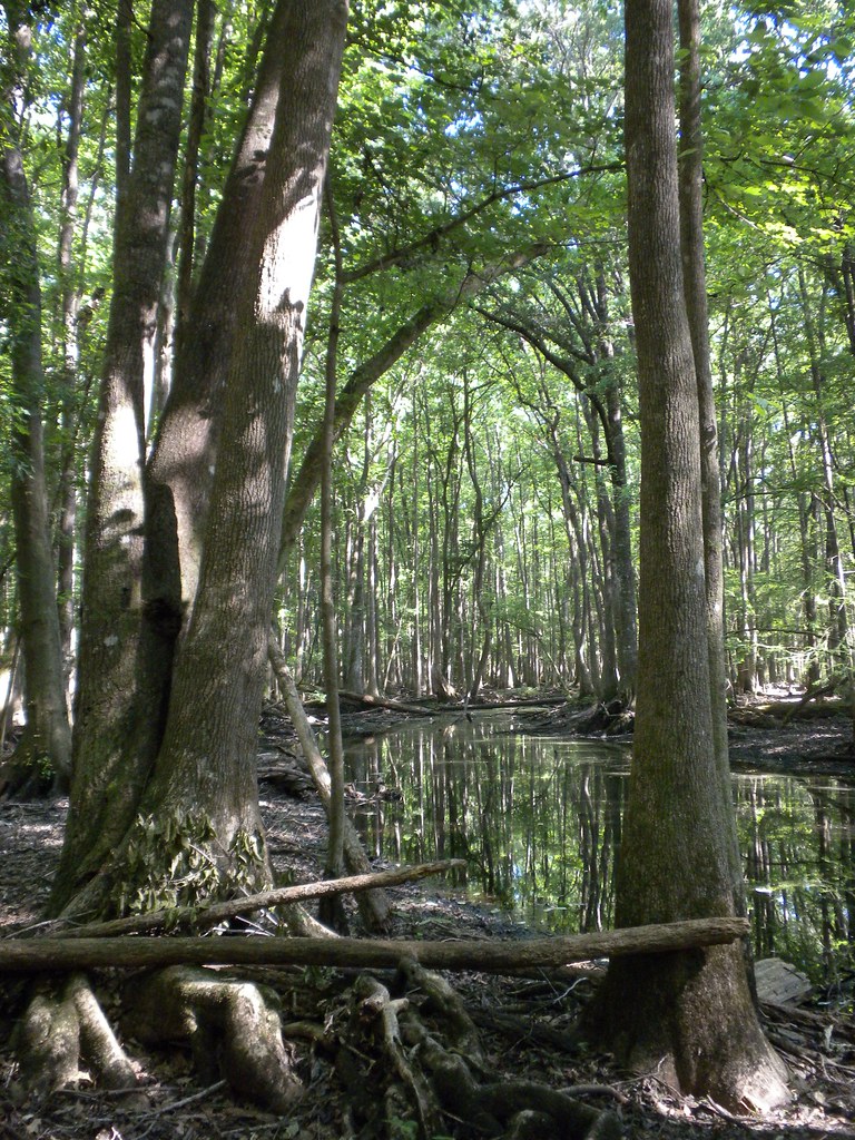
Forest Pond
Snowy Landscape
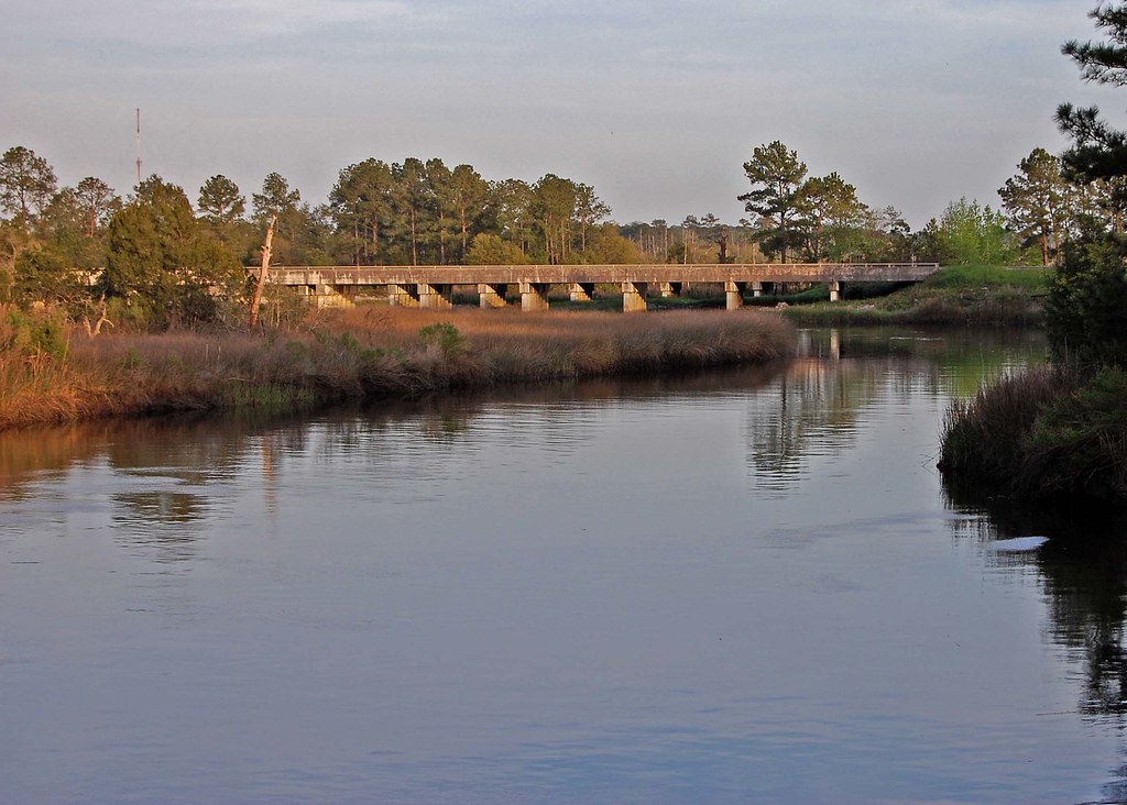
I-95 Over the Coosawhatchie

Fossil island
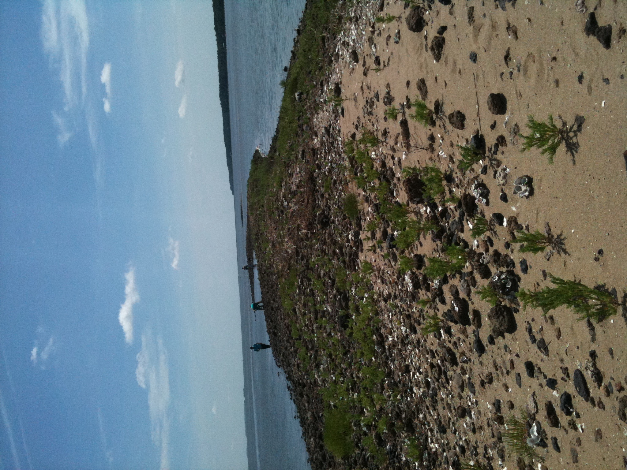
Fossil island
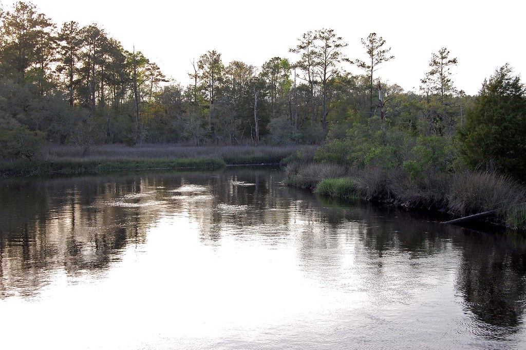
Coosawhatchie River
tupelo gut
Snowy Landscape
Snowy Landscape
Topographic Map of 58 State Rd S-27-16, Early Branch, SC, USA
Find elevation by address:

Places near 58 State Rd S-27-16, Early Branch, SC, USA:
Langfordville Rd, Ridgeland, SC, USA
Mcphersonville
Frampton Plantation House
7459 Bees Creek Rd
48 Courtney Ln
Knowles Island Road
54 Broad River Road
416 Palm Key Pl
437 Broad River Road
325 Coosaw Way
330 Coosaw Way
330 Coosaw Way #20
330 Coosaw Way #20
Palm Key
397 Coosaw Way
315 Coosaw Way
397 Coosaw Way
461 Broad River Road
Cassique Creek Dr, Ridgeland, SC, USA
90 Cassique Creek Dr
Recent Searches:
- Elevation of Corso Fratelli Cairoli, 35, Macerata MC, Italy
- Elevation of Tallevast Rd, Sarasota, FL, USA
- Elevation of 4th St E, Sonoma, CA, USA
- Elevation of Black Hollow Rd, Pennsdale, PA, USA
- Elevation of Oakland Ave, Williamsport, PA, USA
- Elevation of Pedrógão Grande, Portugal
- Elevation of Klee Dr, Martinsburg, WV, USA
- Elevation of Via Roma, Pieranica CR, Italy
- Elevation of Tavkvetili Mountain, Georgia
- Elevation of Hartfords Bluff Cir, Mt Pleasant, SC, USA