Elevation of 6 Church St, Sherman, ME, USA
Location: United States > Maine > Aroostook County > Sherman >
Longitude: -68.384841
Latitude: 45.8732275
Elevation: 145m / 476feet
Barometric Pressure: 100KPa
Elevation Map:
Satellite Map:
Related Photos:
Mount Katahdin

Katahdin Skyline Sunset
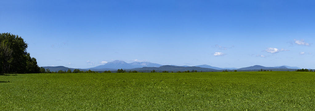
Summit Farm

Katahdin Woods & Waters National Monument
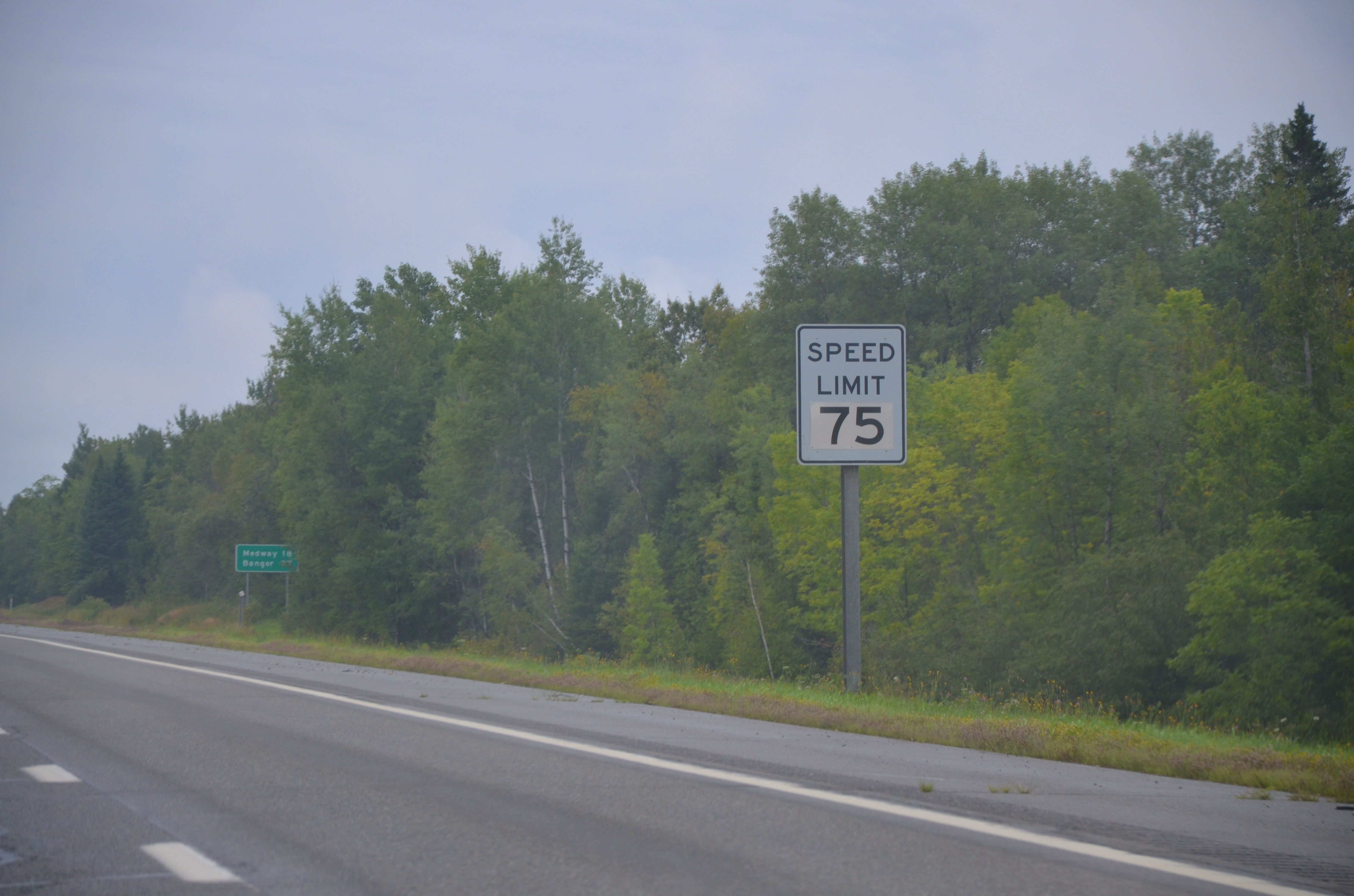
Speed Limit 75

MNR 910 Passing Through Stacyville
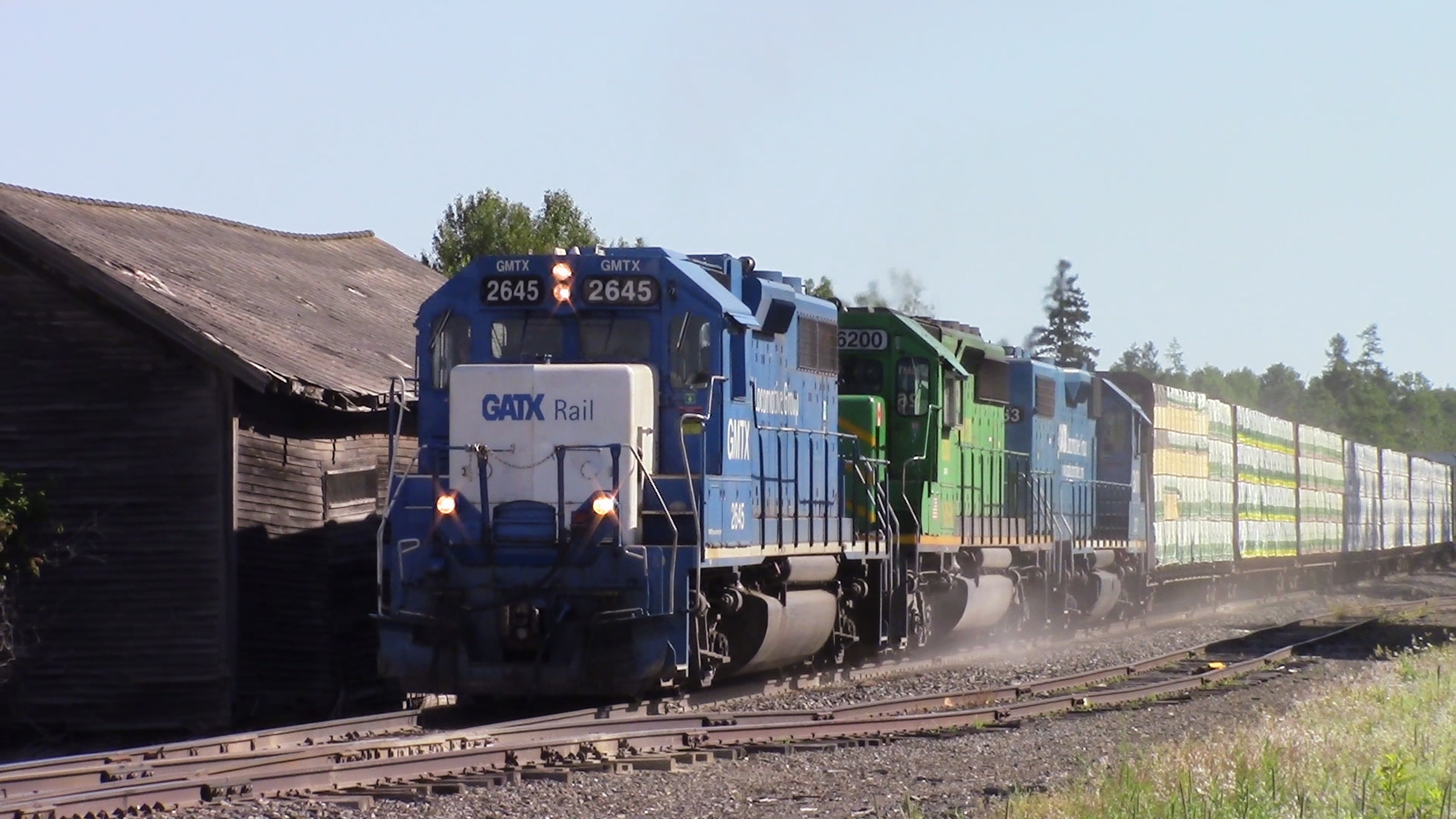
MNR 910 Flying Through Sherman
MOGFA_2017ACT-99.jpg
MOGFA_2017ACT-97.jpg
MOGFA_2017ACT-96.jpg
MOGFA_2017ACT-95.jpg

Heading Up-Country with Mt. Katahdin in the distance...

Heading to the North Woods following fall color...

ZRioux - Mt. Katahdin

Belvedere Sunset
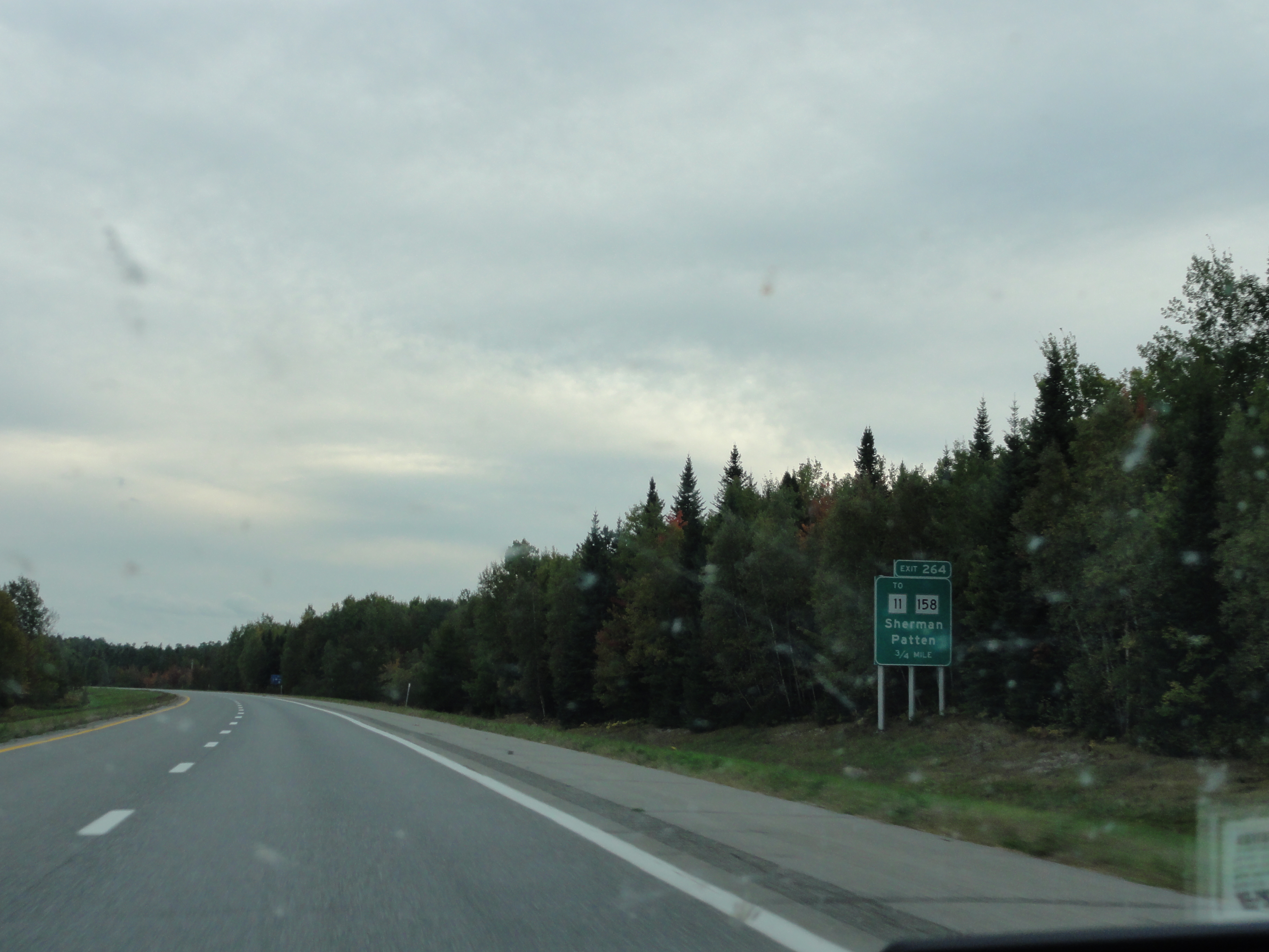
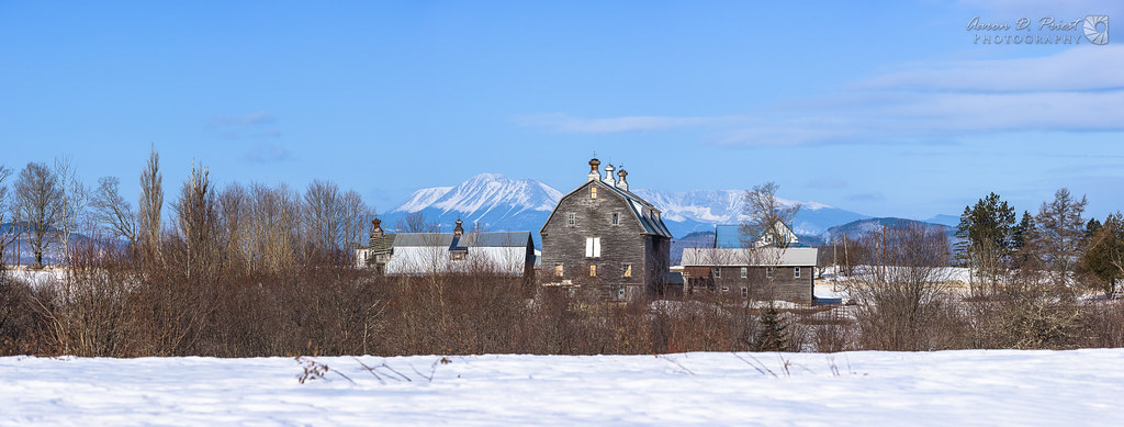
Sherman or Patton?
Topographic Map of 6 Church St, Sherman, ME, USA
Find elevation by address:

Places near 6 Church St, Sherman, ME, USA:
15 Gardner St
Sherman
3 Island Falls Rd, Sherman, ME, USA
Sherman Station Rd, Stacyville, ME, USA
Crystal
Stacyville
ME-11, Stacyville, ME, USA
Mill Street
7 Houlton St
Patten
Route 11
South Aroostook
Island Falls
Hersey
Walker Settlement Rd, Island Falls, ME, USA
12 Aroostook Rd, Mattawamkeag, ME, USA
ME-11, Smyrna Mills, ME, USA
US-2, Dyer Brook, ME, USA
Dyer Brook
Medway
Recent Searches:
- Elevation of Corso Fratelli Cairoli, 35, Macerata MC, Italy
- Elevation of Tallevast Rd, Sarasota, FL, USA
- Elevation of 4th St E, Sonoma, CA, USA
- Elevation of Black Hollow Rd, Pennsdale, PA, USA
- Elevation of Oakland Ave, Williamsport, PA, USA
- Elevation of Pedrógão Grande, Portugal
- Elevation of Klee Dr, Martinsburg, WV, USA
- Elevation of Via Roma, Pieranica CR, Italy
- Elevation of Tavkvetili Mountain, Georgia
- Elevation of Hartfords Bluff Cir, Mt Pleasant, SC, USA