Elevation of 64 W Hill Rd, Hawley, MA, USA
Location: United States > Massachusetts > Franklin County > Hawley >
Longitude: -72.9452925
Latitude: 42.5892071
Elevation: 385m / 1263feet
Barometric Pressure: 0KPa
Related Photos:

Berkshire Blues

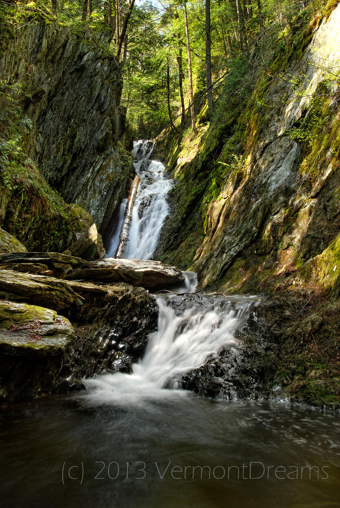
Twin Cascade #4

Historic Valley Campground

Playing in the Snow

Whitcomb Summit View

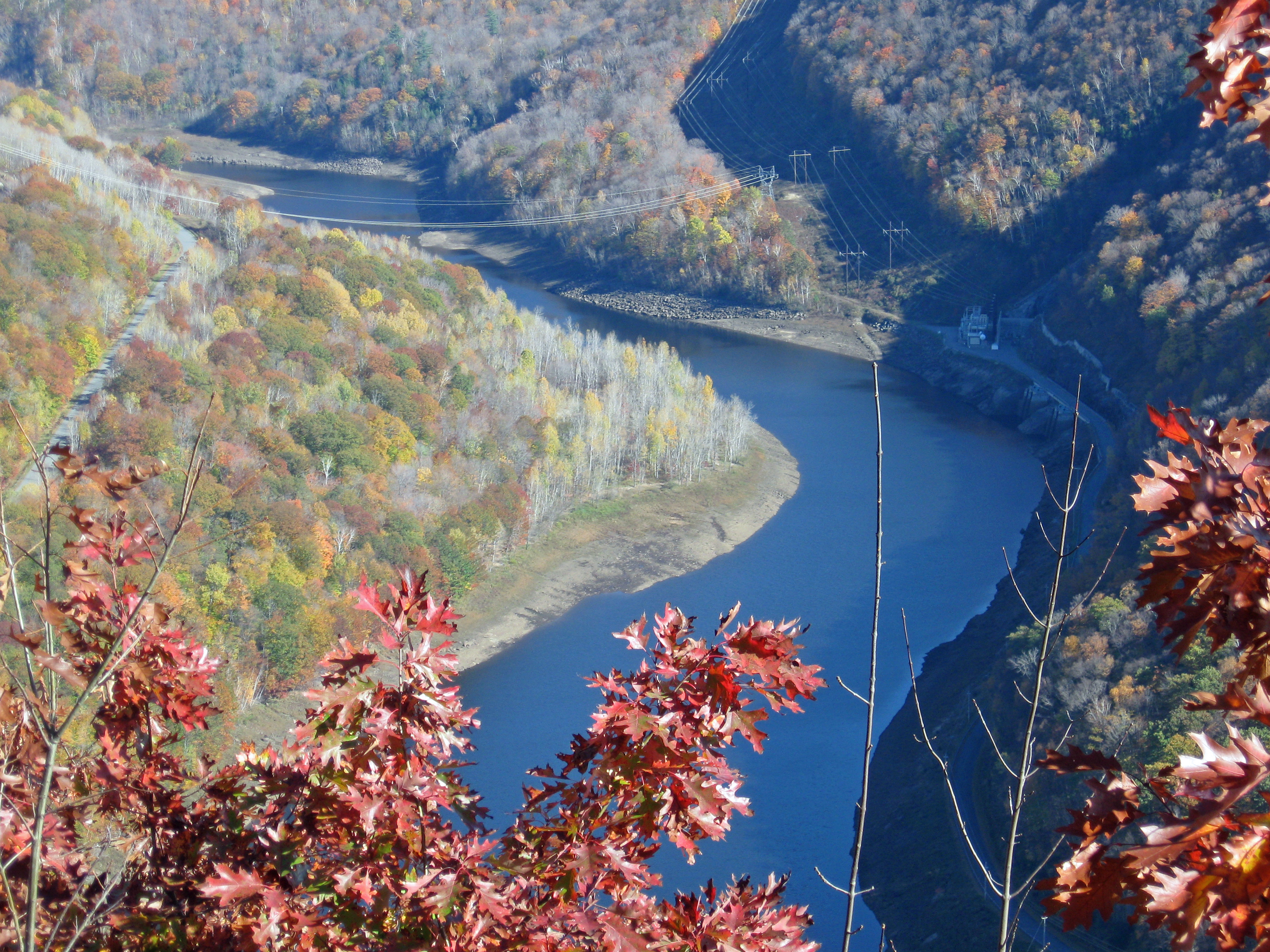
Cold River

View from Whitcomb Summit Motel

Viewing Tower, Whitcomb Summit Motel

Abandoned Building

Chairs with a view of Mt Greylock from Adams, MA

Farm Road

Nature's Lines and Curves

Sepia Saturation
View of Zoar Gap - Quite A Hike

North Adams, Massachusetts

Porch View

Not a bad view to wake up to! #roadtripping #camping #scenicMassachusetts

The Mill Stream

View of North Adams

My first winter trip to Mt. Greylock.

snowy start

Twin Cascade 1

In the Berkshires for the Winter

Twin Cascade #3

edited in photoshop (721 of 1)

A Berkshire Brae No. 1

Chickley River

Buckland on Deerfield

another stream long exposure

_DSC9808.jpg

Morning at the summit

2011 Out-takes #5/6

northern berkshire winterscape

Route 2, Eastern Summit

Upstream from Parker Brook Falls, MA

DSC02262-Pano
Parker Brook Falls - Savoy, Massachusetts

Parker Brook Falls
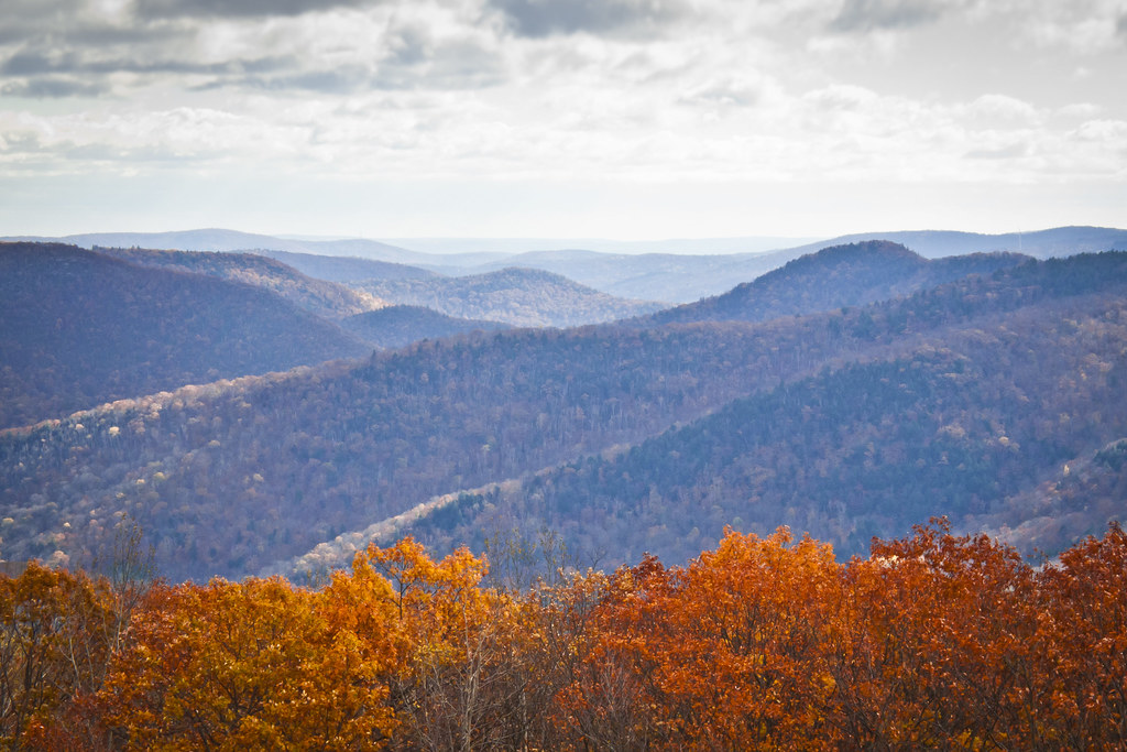
Autumn foliage Scenery at Green Mountains, Florida, Massachusetts
Topographic Map of 64 W Hill Rd, Hawley, MA, USA
Find elevation by address:

Places near 64 W Hill Rd, Hawley, MA, USA:
Hawley
70 Horton Rd
Plainfield Pond
389 Loop Rd
Access Road 1
329 S County Rd
23 Laurel Ln
101 Ma-8a
55 Campbell Rd
85 Labelle Rd
85 Labelle Rd
85 Labelle Rd
376 Legate Hill Rd
80 Labelle Rd
Charlemont
Savoy
231 Ma-8a
231 Ma-8a
Florida
Burnett Pond
Recent Searches:
- Elevation of Pasing, Munich, Bavaria, 81241, Germany
- Elevation of 24, Auburn Bay Crescent SE, Auburn Bay, Calgary, Alberta, T3M 0A6, Canada
- Elevation of Denver, 2314, Arapahoe Street, Five Points, Denver, Colorado, 80205, USA
- Elevation of Community of the Beatitudes, 2924, West 43rd Avenue, Sunnyside, Denver, Colorado, 80211, USA
- Elevation map of Litang County, Sichuan, China
- Elevation map of Madoi County, Qinghai, China
- Elevation of 3314, Ohio State Route 114, Payne, Paulding County, Ohio, 45880, USA
- Elevation of Sarahills Drive, Saratoga, Santa Clara County, California, 95070, USA
- Elevation of Town of Bombay, Franklin County, New York, USA
- Elevation of 9, Convent Lane, Center Moriches, Suffolk County, New York, 11934, USA
- Elevation of Saint Angelas Convent, 9, Convent Lane, Center Moriches, Suffolk County, New York, 11934, USA
- Elevation of 131st Street Southwest, Mukilteo, Snohomish County, Washington, 98275, USA
- Elevation of 304, Harrison Road, Naples, Cumberland County, Maine, 04055, USA
- Elevation of 2362, Timber Ridge Road, Harrisburg, Cabarrus County, North Carolina, 28075, USA
- Elevation of Ridge Road, Marshalltown, Marshall County, Iowa, 50158, USA
- Elevation of 2459, Misty Shadows Drive, Pigeon Forge, Sevier County, Tennessee, 37862, USA
- Elevation of 8043, Brightwater Way, Spring Hill, Williamson County, Tennessee, 37179, USA
- Elevation of Starkweather Road, San Luis, Costilla County, Colorado, 81152, USA
- Elevation of 5277, Woodside Drive, Baton Rouge, East Baton Rouge Parish, Louisiana, 70808, USA
- Elevation of 1139, Curtin Street, Shepherd Park Plaza, Houston, Harris County, Texas, 77018, USA