Elevation of MA-8A, Charlemont, MA, USA
Location: United States > Massachusetts > Franklin County > Charlemont >
Longitude: -72.867506
Latitude: 42.6436088
Elevation: 238m / 781feet
Barometric Pressure: 0KPa
Related Photos:

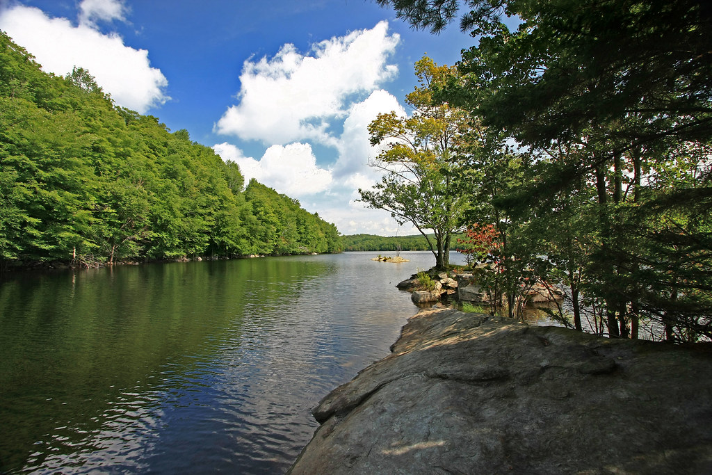
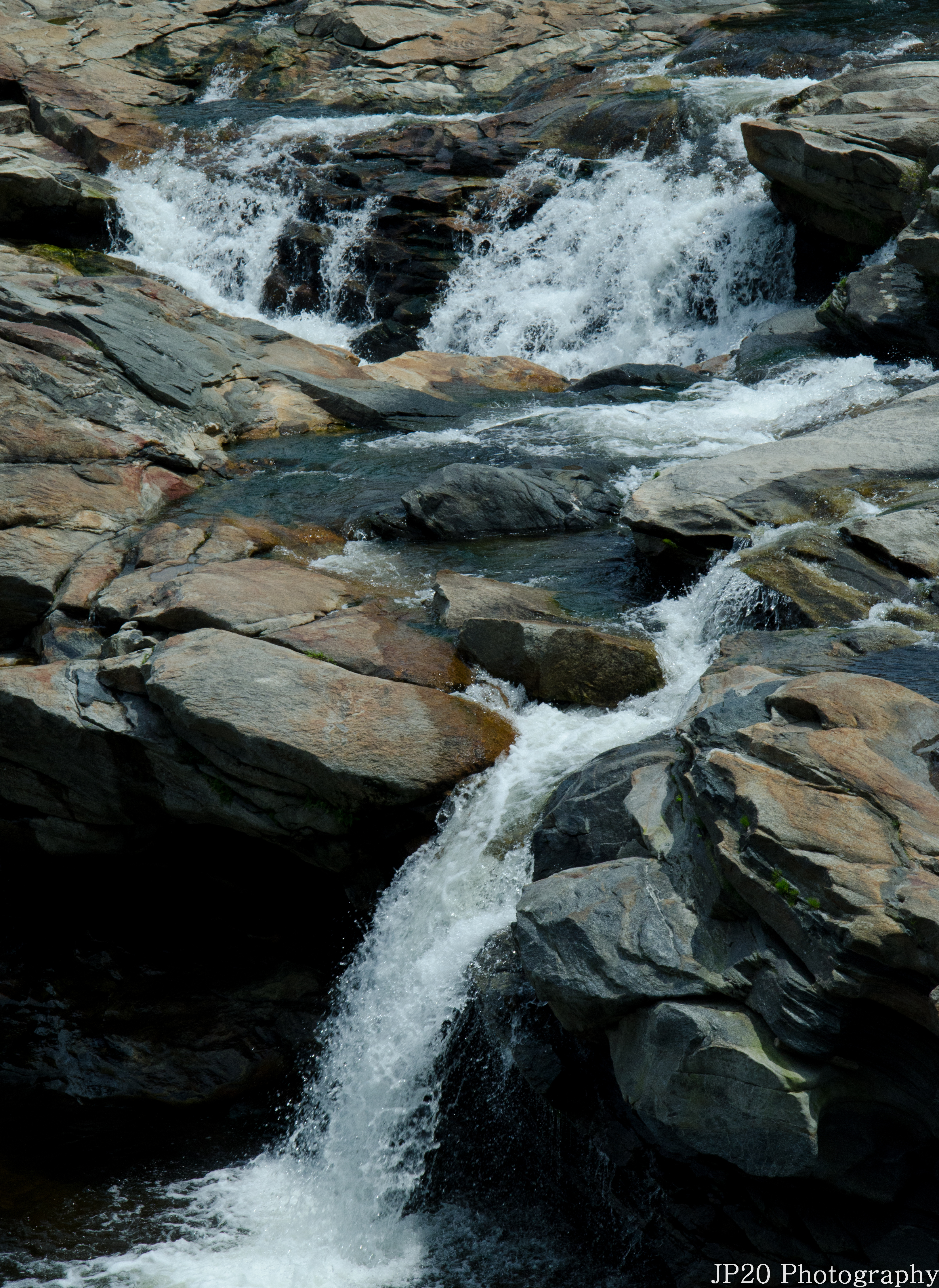
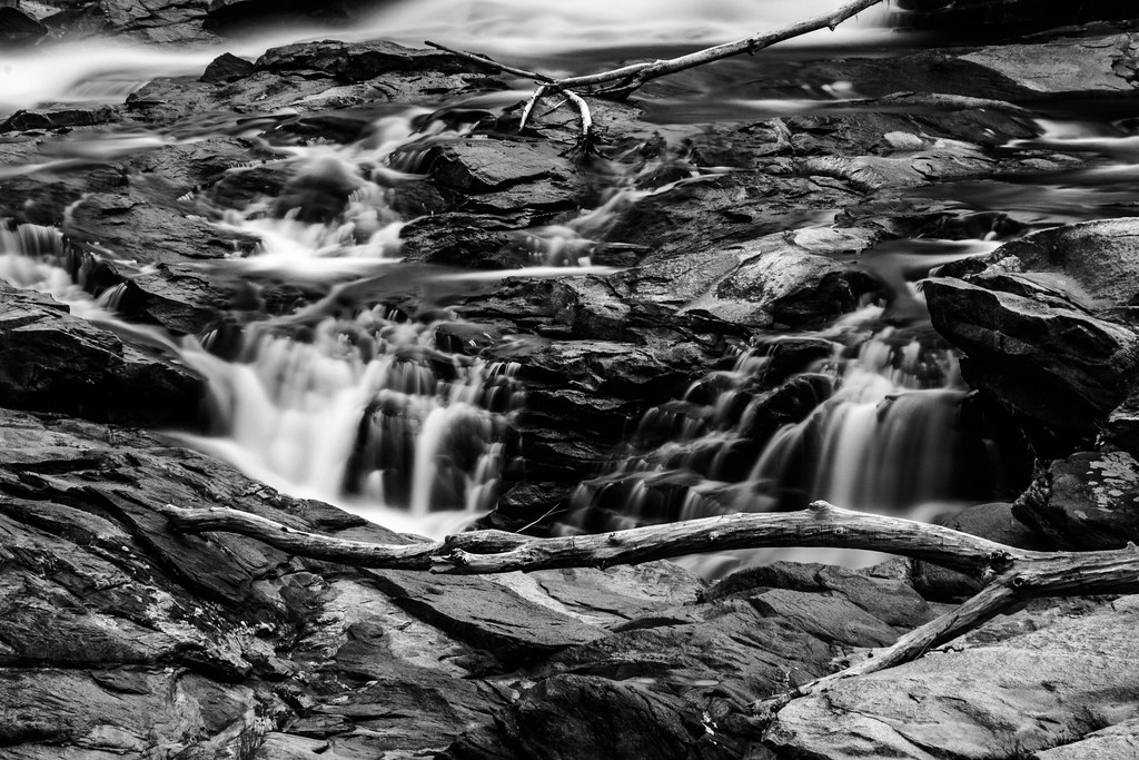
Berkshire Blues
Twin Cascade #4

White Dahlia

Sunshine in the Rain

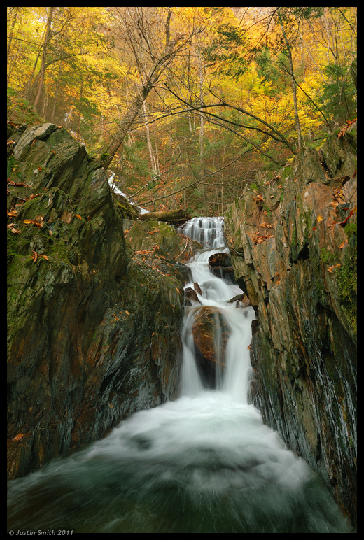
Old Man of the Falls
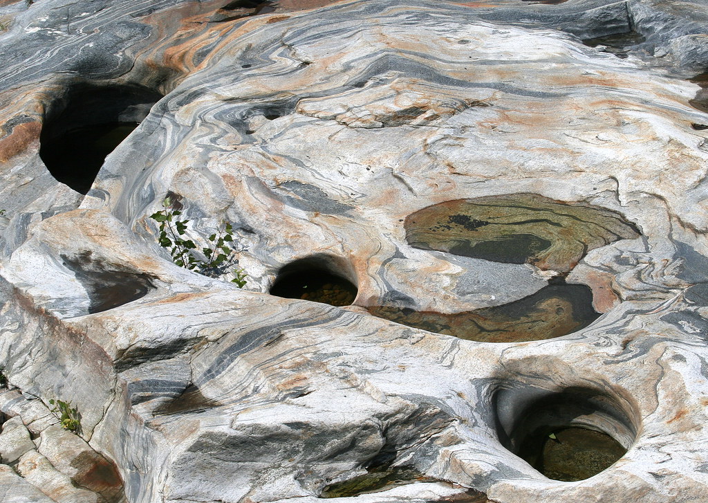
Glacial Potholes

A Grating View
View frombridge
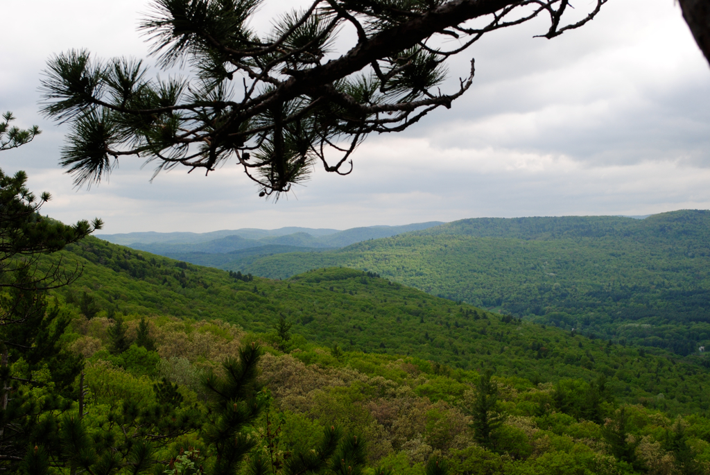
View From High Ledges

Gorgeous Dahlia

the bridge of flowers view
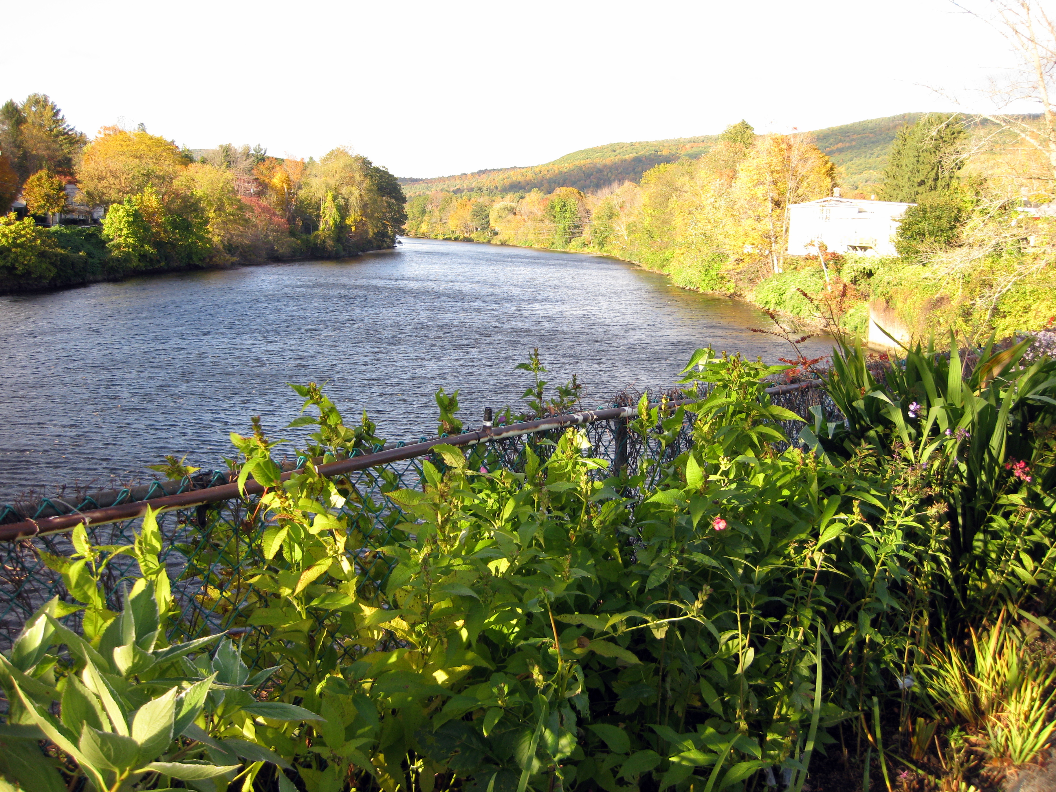
View of the Deerfield River from the Bridge of Flowers
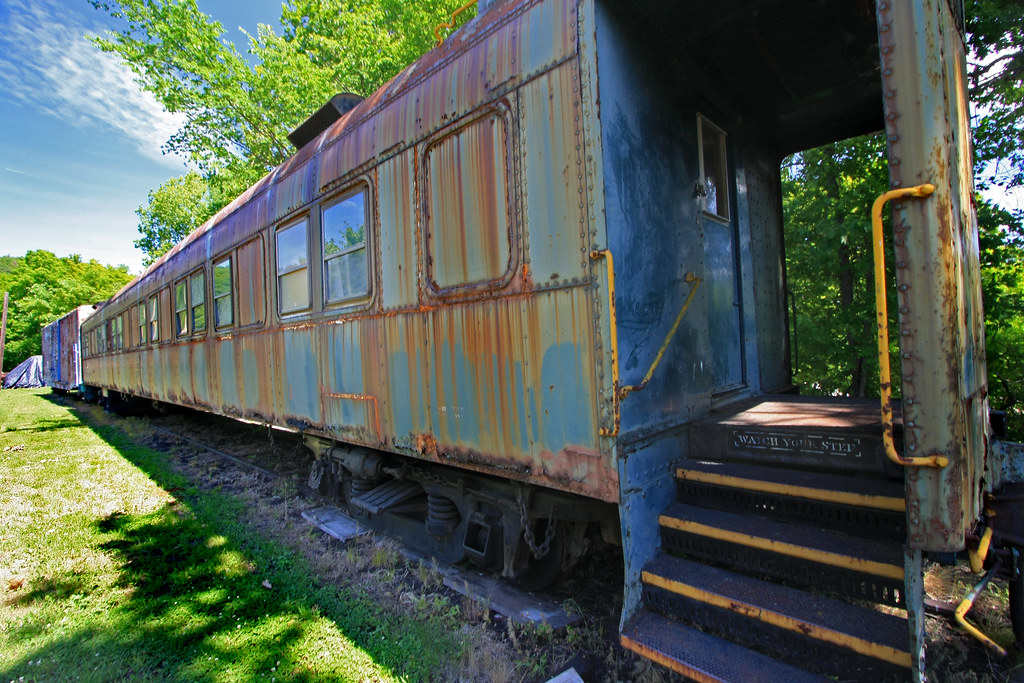
Vestiges of the Past
Hanging Around by the River

Blue after the rain

Native Views Trading Post on the Mohawk Trail in Shelburne Falls, Massachusetts

Nature's Lines and Curves
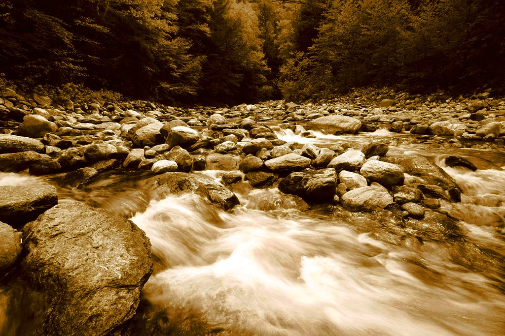
Sepia Saturation

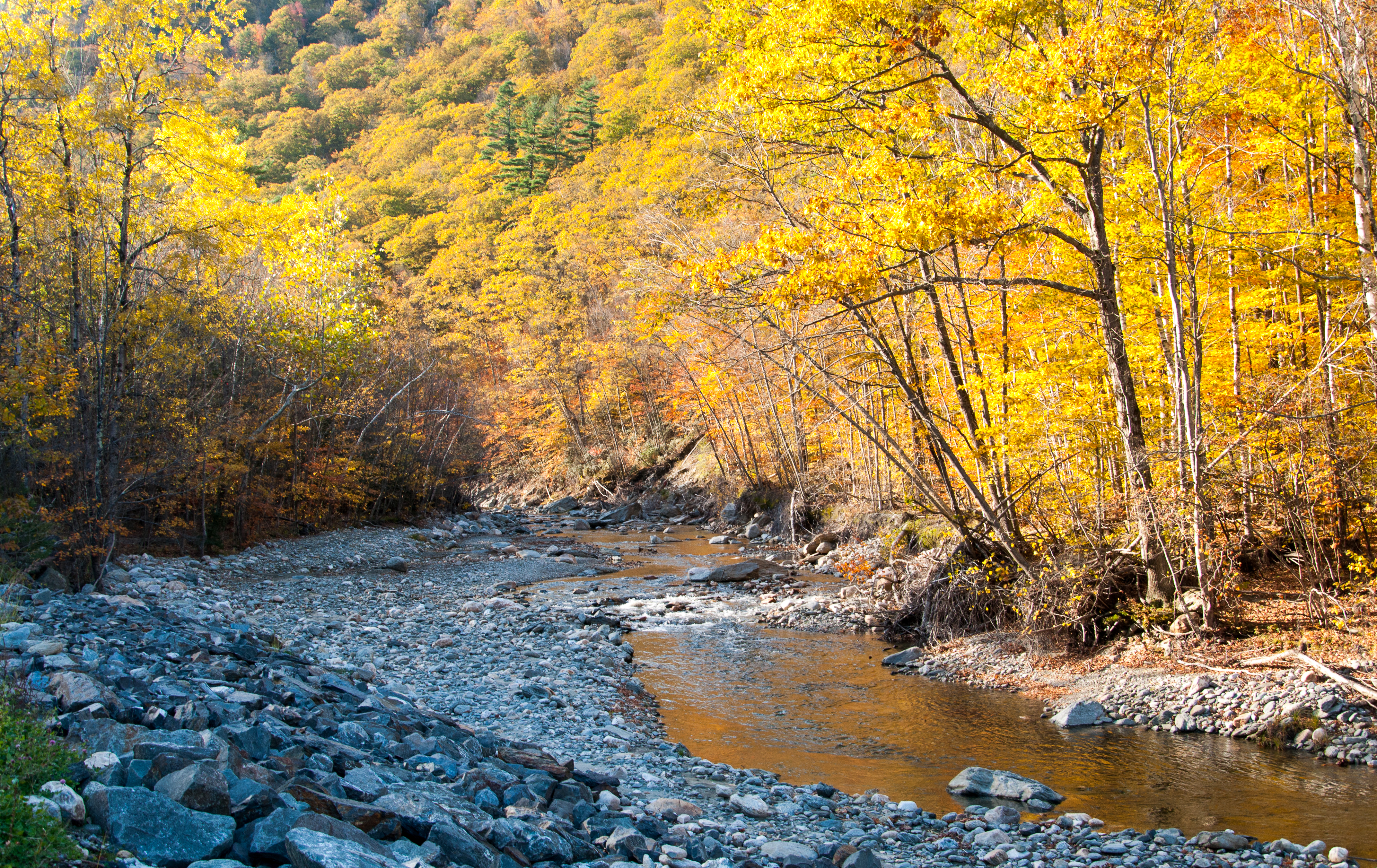
View of Zoar Gap - Quite A Hike
In Search of a Cool Breeze
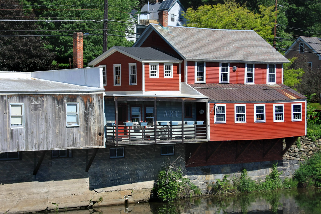
Porch View
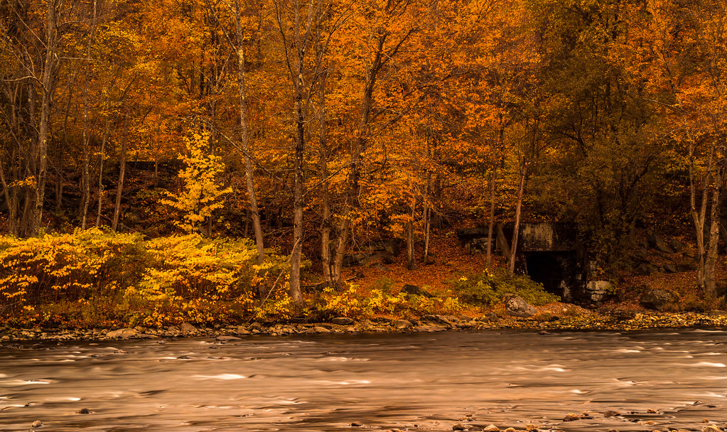
Buckland on Deerfield
2011 Out-takes #4/6
2011 Out-takes #5/6
northern berkshire winterscape

The Bridge of Flowers in peak season

_DSC9821.jpg
Swimming Hole

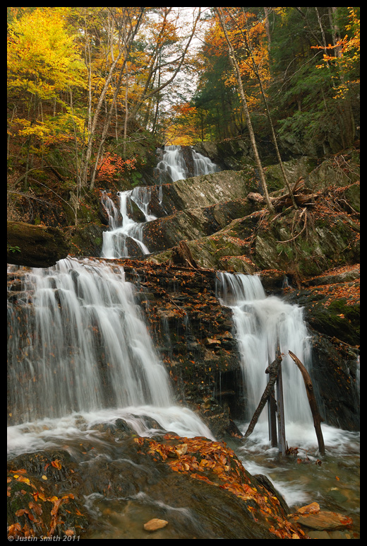
Tannery Falls

Bridge of Flowers Shelburne Falls Ma
Waterfall and side canal
Mohawk Trail_-14
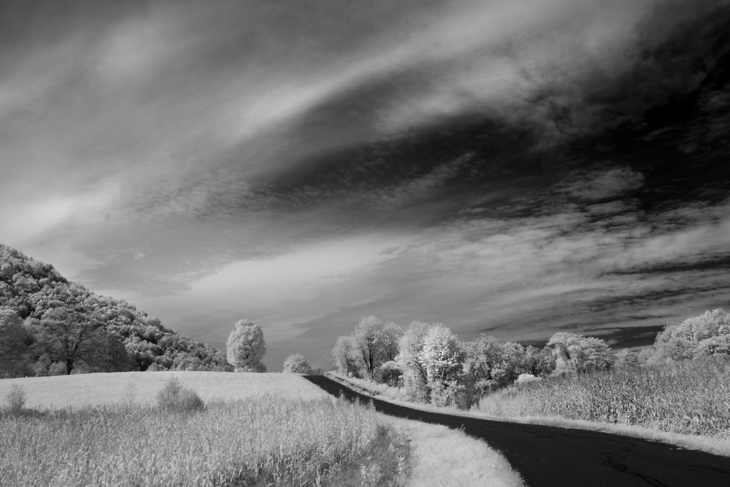
IMG_0592 Infrared
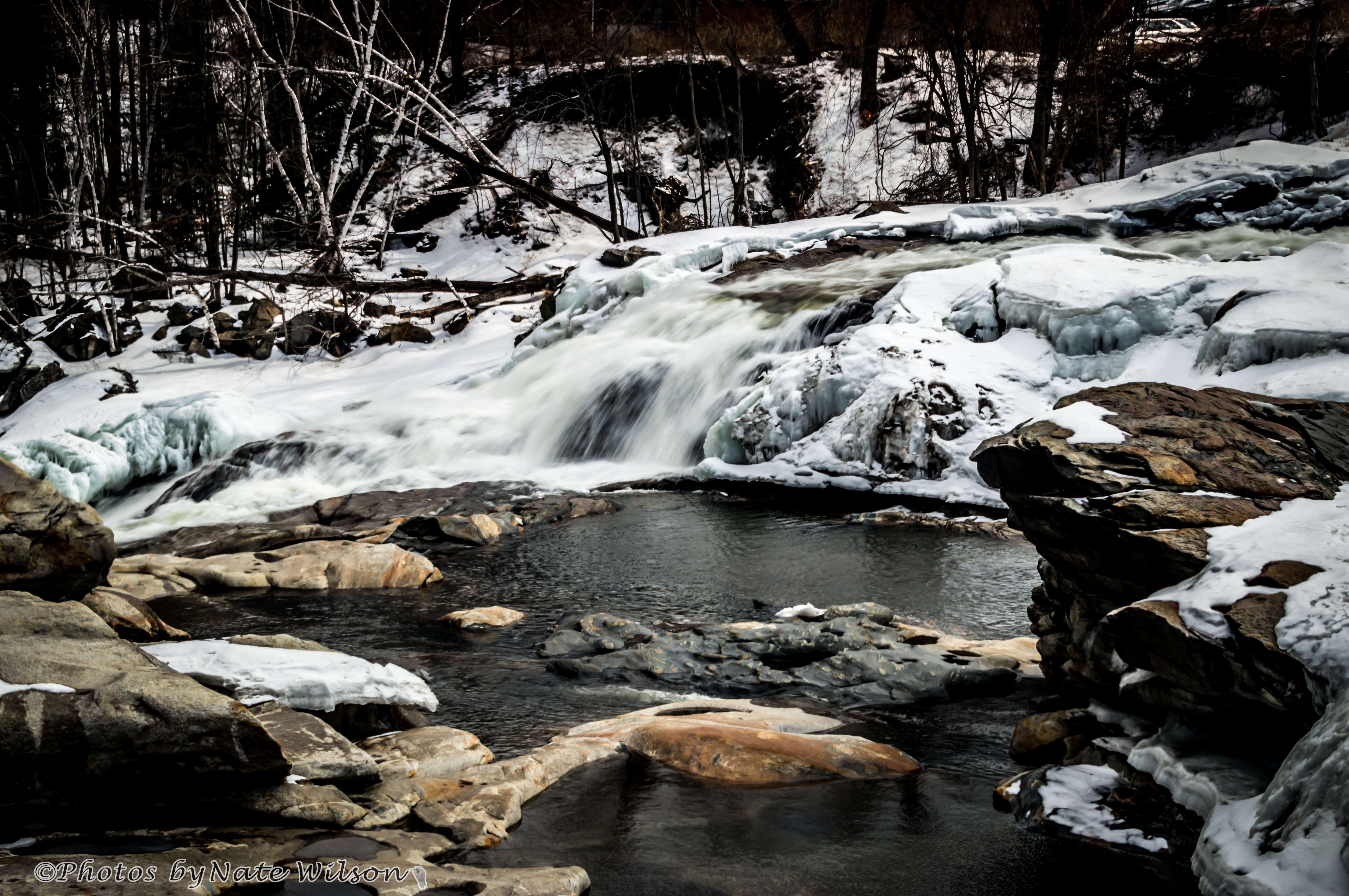
Salmon Falls - March 20, 2014

Chickley River
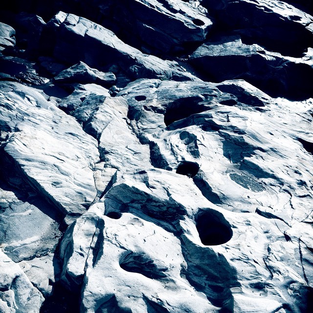
Holes in a hole #nature #Geology #touristy

Rocks at Halifax

at Savoy Forest
Shelburne Falls
_DSC9804.jpg
Topographic Map of MA-8A, Charlemont, MA, USA
Find elevation by address:

Places near MA-8A, Charlemont, MA, USA:
231 Ma-8a
Charlemont
101 Ma-8a
10 Judd Rd
181 S Rd
376 Legate Hill Rd
23 Laurel Ln
Royer Road
34 Royer Rd, Heath, MA, USA
10 Royer Rd
Long Hill Road
81 Ma-8a
80 Labelle Rd
85 Labelle Rd
85 Labelle Rd
85 Labelle Rd
Heath
Heath Free Public Library
Rowe
Hawley
Recent Searches:
- Elevation of 10370, West 107th Circle, Westminster, Jefferson County, Colorado, 80021, USA
- Elevation of 611, Roman Road, Old Ford, Bow, London, England, E3 2RW, United Kingdom
- Elevation of 116, Beartown Road, Underhill, Chittenden County, Vermont, 05489, USA
- Elevation of Window Rock, Colfax County, New Mexico, 87714, USA
- Elevation of 4807, Rosecroft Street, Kempsville Gardens, Virginia Beach, Virginia, 23464, USA
- Elevation map of Matawinie, Quebec, Canada
- Elevation of Sainte-Émélie-de-l'Énergie, Matawinie, Quebec, Canada
- Elevation of Rue du Pont, Sainte-Émélie-de-l'Énergie, Matawinie, Quebec, J0K2K0, Canada
- Elevation of 8, Rue de Bécancour, Blainville, Thérèse-De Blainville, Quebec, J7B1N2, Canada
- Elevation of Wilmot Court North, 163, University Avenue West, Northdale, Waterloo, Region of Waterloo, Ontario, N2L6B6, Canada
- Elevation map of Panamá Province, Panama
- Elevation of Balboa, Panamá Province, Panama
- Elevation of San Miguel, Balboa, Panamá Province, Panama
- Elevation of Isla Gibraleón, San Miguel, Balboa, Panamá Province, Panama
- Elevation of 4655, Krischke Road, Schulenburg, Fayette County, Texas, 78956, USA
- Elevation of Carnegie Avenue, Downtown Cleveland, Cleveland, Cuyahoga County, Ohio, 44115, USA
- Elevation of Walhonding, Coshocton County, Ohio, USA
- Elevation of Clifton Down, Clifton, Bristol, City of Bristol, England, BS8 3HU, United Kingdom
- Elevation map of Auvergne-Rhône-Alpes, France
- Elevation map of Upper Savoy, Auvergne-Rhône-Alpes, France