Elevation of 60 Wickaboag Valley Rd, West Brookfield, MA, USA
Location: United States > Massachusetts > Worcester County > West Brookfield > West Brookfield >
Longitude: -72.1478378
Latitude: 42.2451256
Elevation: 196m / 643feet
Barometric Pressure: 0KPa
Related Photos:

End of Summer Color

Fall In New England!

Happy New Year

Morning Walk, Mill Pond

Three Trains at CP60

View from Carpenter Rock

View from the bridge...

One More Time

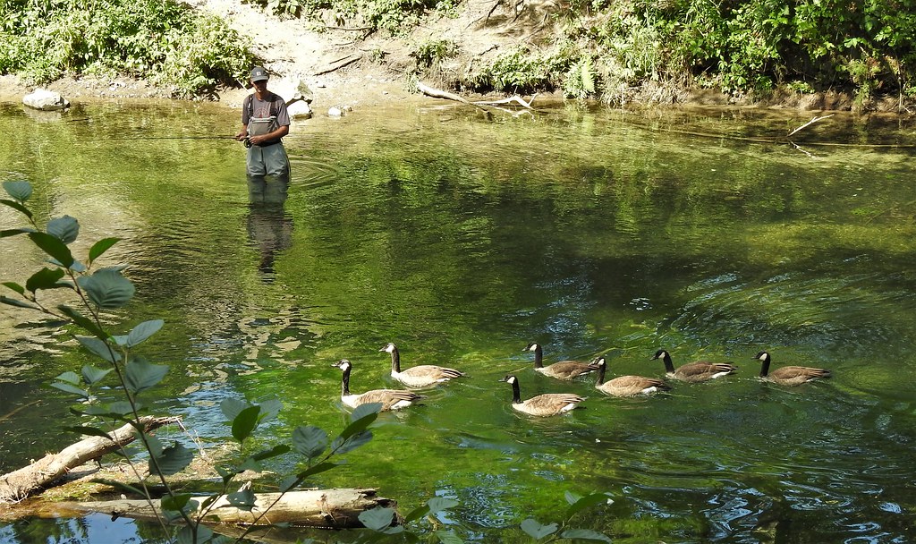
Free Range

Working Ware

New England Church

Old Sturbridge Village & Living History Museum

Quinebaug River

1 Year On Flickr

Aqueduct Pond - Hardwick

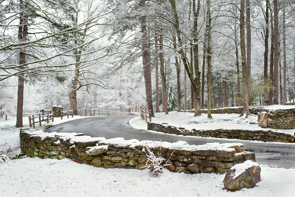
The Last Day of Winter

A Wall of Color
Passing through...

Covered Bridge, Tourists

Mass Central Southbound at Gilbertville

Intense Reflection

Easy Morning

Morning, Quaboag River

Morning Calm

Sunrise, Fog
Spring Snow

The Last Summer Morning

Wells State Park

On Carter Pond

Sunrise, Swamp

In Standard Time

Wood Grain

Autumn Quickly Leaving

It's a Beach

Saint Joseph's Abbey

Misty Treat

A Beautiful Day

Home bound
Topographic Map of 60 Wickaboag Valley Rd, West Brookfield, MA, USA
Find elevation by address:

Places near 60 Wickaboag Valley Rd, West Brookfield, MA, USA:
23 Birch Hill Rd
Cottage Street
West Brookfield
47 E Main St, West Brookfield, MA, USA
West Brookfield
W Main St, West Brookfield, MA, USA
29 Burwell Terrace
20 Ma-67
80 Foster Hill Rd
100 Foster Hill Rd
99 Foster Hill Rd
224 E Main St
33 Liberty St, Warren, MA, USA
Warren
Warren
400 Washington St
42 Ayers St
119 Quaboag St
119 Quaboag St
43 Deer Run
Recent Searches:
- Elevation of 10370, West 107th Circle, Westminster, Jefferson County, Colorado, 80021, USA
- Elevation of 611, Roman Road, Old Ford, Bow, London, England, E3 2RW, United Kingdom
- Elevation of 116, Beartown Road, Underhill, Chittenden County, Vermont, 05489, USA
- Elevation of Window Rock, Colfax County, New Mexico, 87714, USA
- Elevation of 4807, Rosecroft Street, Kempsville Gardens, Virginia Beach, Virginia, 23464, USA
- Elevation map of Matawinie, Quebec, Canada
- Elevation of Sainte-Émélie-de-l'Énergie, Matawinie, Quebec, Canada
- Elevation of Rue du Pont, Sainte-Émélie-de-l'Énergie, Matawinie, Quebec, J0K2K0, Canada
- Elevation of 8, Rue de Bécancour, Blainville, Thérèse-De Blainville, Quebec, J7B1N2, Canada
- Elevation of Wilmot Court North, 163, University Avenue West, Northdale, Waterloo, Region of Waterloo, Ontario, N2L6B6, Canada
- Elevation map of Panamá Province, Panama
- Elevation of Balboa, Panamá Province, Panama
- Elevation of San Miguel, Balboa, Panamá Province, Panama
- Elevation of Isla Gibraleón, San Miguel, Balboa, Panamá Province, Panama
- Elevation of 4655, Krischke Road, Schulenburg, Fayette County, Texas, 78956, USA
- Elevation of Carnegie Avenue, Downtown Cleveland, Cleveland, Cuyahoga County, Ohio, 44115, USA
- Elevation of Walhonding, Coshocton County, Ohio, USA
- Elevation of Clifton Down, Clifton, Bristol, City of Bristol, England, BS8 3HU, United Kingdom
- Elevation map of Auvergne-Rhône-Alpes, France
- Elevation map of Upper Savoy, Auvergne-Rhône-Alpes, France