Elevation of 33 Liberty St, Warren, MA, USA

Location: United States > Massachusetts > Worcester County > Warren > Warren >

Longitude: -72.189441

Latitude: 42.2118833

Elevation: 198m / 650feet

Barometric Pressure: 99KPa

Elevation Map:

elevation map of 33 Liberty St, Warren, MA, USA
Satellite Map:

Satellite map of 33 Liberty St, Warren, MA, USA
Related Photos:

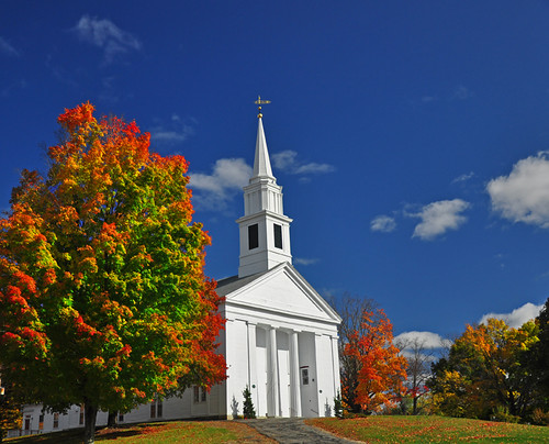
blue autumn red sky color fall church yellow clouds massachusetts newengland steeple foliage firstcongregationalchurch brimfield brimfieldma supershot impressedbeauty
New England Church
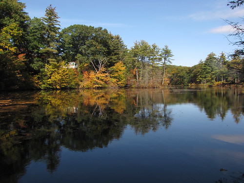
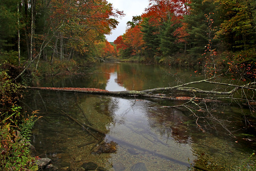
river massachusetts newengland oldsturbridgevillage livinghistorymuseum
Quinebaug River
Black Bear
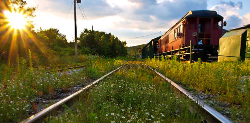
railroad sunset sun flower overgrown ma gold amber scenic olympus palmer historic caboose rails daisy rays 2009 railcars puffyclouds scottkelby e420 worldwidephotowalk goldenhourengine
Rays and Rails
1 Year On Flickr
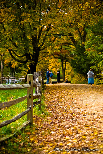
wood trees fall leaves fence ma nikon path 50mmf18 d80 oldesturbridgevillage
View from the Visitor's Center
Bonaparte's Gull
clf
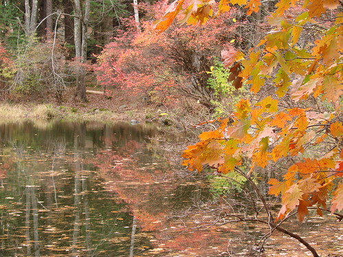
Autumn view
View north from Hanks meadow
massachusetts reservoir quabbin belchertown swiftriver bej
Swift River Colors
railroad sunset sun gold amber rivets shine steel olympus pins historic rails rays 2009 gravel goldenhour scottkelby niftyfifty e420 zuiko50mmf18 worldwidephotowalk
Golden Rails
wild goose-2003-10-02-05
shadow view
Quabbin Tower Shadow
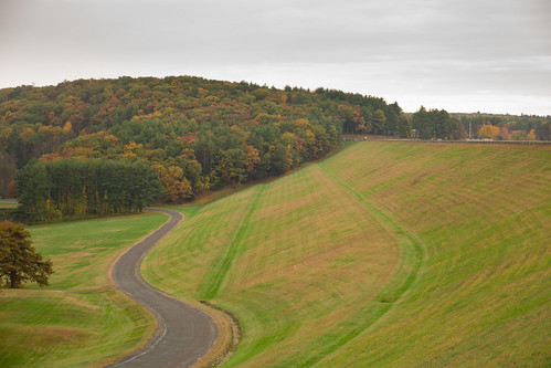
View of reservoir at last light from Goodnough Dike
View from Gate 52
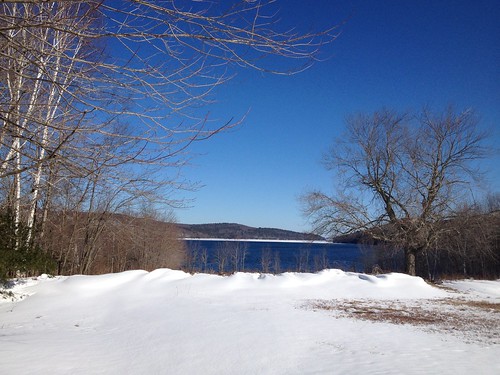
square squareformat iphoneography instagramapp uploaded:by=instagram
A winter view.
Morning view at Gate 52
Red necked Grebe
Red breasted Merganser
massachusetts ware swiftriver emeraldwaters yesmassachusettshasatownnamedware itwasnamedbyabbottcostello
Silence , Except for the Roar of the Mosquitos!
whitewater rapids spillway quabbinreservoir vob
The Roar of the Rapids
Can you hear the crickets?
fall ma fallcolors quabbinreservoir
Quabbin reservoir lawn
chimney brick art beautiful field barn rural landscape nikon massachusetts country newengland pastoral sturbridge oldsturbridgevillage sturbridgevillage d5000 nikond5000 calebward
Barn in Field
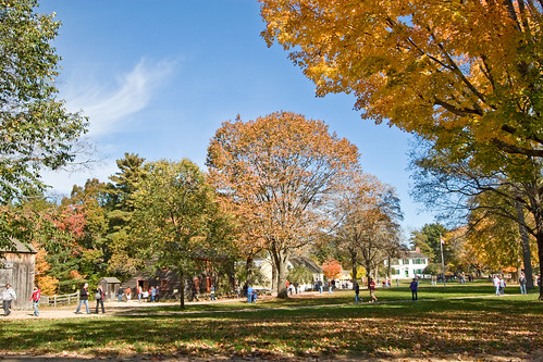
autumn fall yellow landscape massachussetts oldsturbridgevillage
Old Sturbridge Village, Massachussetts
Frozen pond
Covered bridge
belchertownquabbinfoliage93014
The Reds Win
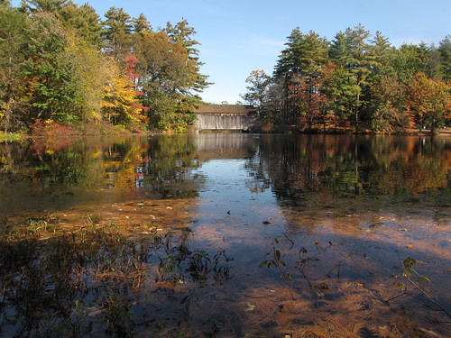
bridge pond massachusetts newengland oldsturbridgevillage livinghistorymuseum
Mill Pond & Dummerston Bridge
Snowy Swift
square squareformat sutro iphoneography instagramapp uploaded:by=instagram foursquare:venue=4b9bed2af964a520b23636e3
Paint me.
unitedstates massachusetts sturbridge
Those Crazy Kids
square squareformat inkwell iphoneography instagramapp uploaded:by=instagram foursquare:venue=4c83e5f1e602b1f7f6f1a97a
Dam flying turkeys.
square squareformat iphoneography instagramapp uploaded:by=instagram foursquare:venue=4b9bed2af964a520b23636e3
Swamp - Unfiltered
uploaded:by=flickrmobile flickriosapp:filter=nofilter
Sunrise on Ma Pike
square squareformat iphoneography instagramapp xproii uploaded:by=instagram foursquare:venue=4b9ad052f964a5205bd835e3
Very New England
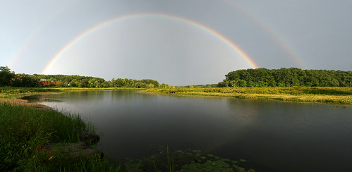
Double Rainbow
quabbinreservoir uploaded:by=flickrmobile flickriosapp:filter=chameleon chameleonfilter
Quabbin Resevoir 1-6-2013
cold ice creek waterfall stream massachusetts brookfield formations christmas2013
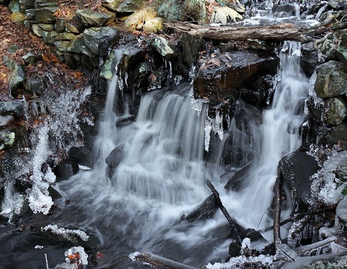
that little waterfall
Kayaking, Swift river
2006 Early oct