Elevation of 58 Hersey Ln, Pembroke, ME, USA
Location: United States > Maine > Washington County > Pembroke >

Longitude: -67.161169

Latitude: 44.9438357

Elevation: 12m / 39feet

Barometric Pressure: 101KPa

Elevation Map:

elevation map of 58 Hersey Ln, Pembroke, ME, USA
Satellite Map:

Satellite map of 58 Hersey Ln, Pembroke, ME, USA

Related Photos:

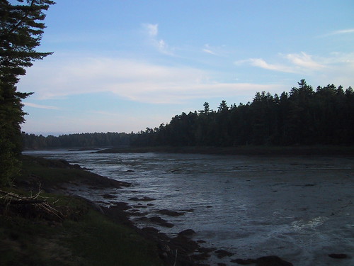
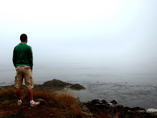
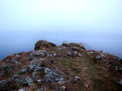
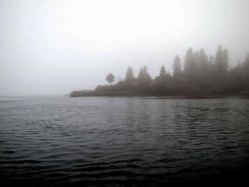
blue trees vacation water grass fog dark landscape dusk maine foggy scenic bluesky marsh lubec
Colors in Nature - Blue ~ part 2
square squareformat rise iphoneography instagramapp uploaded:by=instagram
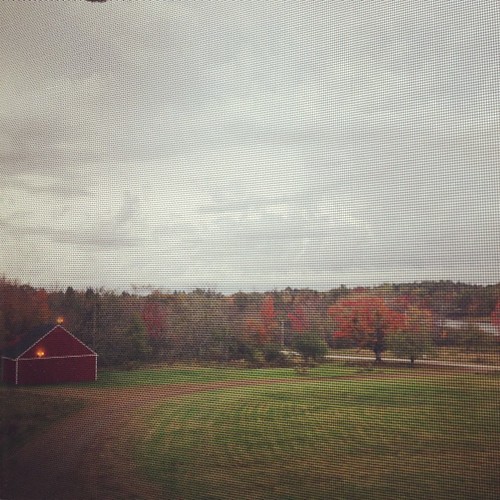
Rick and I are in Maine and this is our morning view... There's that thing called Autumn out there!!! It's beautiful!
trees sky water canon pembroke maine atlanticocean mainecoast downeast reversingfallspark dennysbay
Reversing Falls Park
eastport
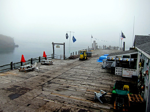
view frommunicipal pier
eastport
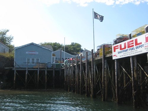
view from the fuel dock at low tide
Campobello House View
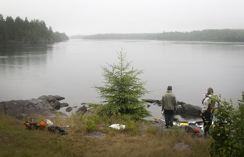
IMG_2779misty view RR
camping maine cobscookbaystatepark cobscook
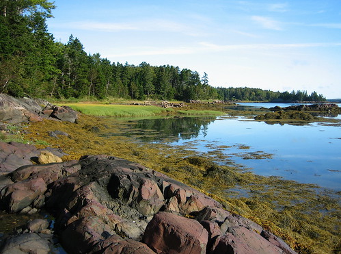
Broad Cove at low tide
sea usa color colour 2004 me america maine eastport 2000s canadagood
me_nb03m098 Eastport View, Maine 2004
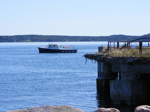
blue summer water boat maine 2009 eastport
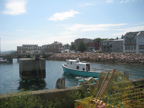
Fishing boat
sea usa color colour 2004 me america maine eastport 2000s canadagood
me_nb03m099 Eastport View, Maine 2004
blue summer water maine 2009 cobscook
Cobscook State Park
park camping bay maine cobscook
another view from the campsite
camping maine cobscookbaystatepark cobscook
Broad Cove at high tide
geotagged maine geolat44842968 geolon67149038 geolat44844414 geolon67150036 cobscookbaystatepark flickrfly getilt573608 gehead142264 gerange719045
our primo campsite
eastport
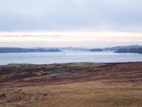
view towards downtown eastport
square lofi squareformat iphoneography instagramapp uploaded:by=instagram
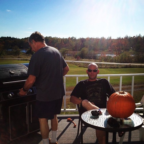
Grilling with a view!
ocean daisy
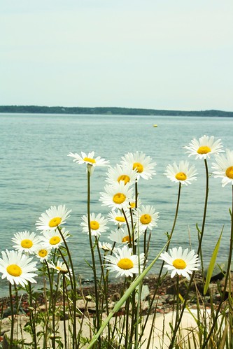
Daisies on the Shore
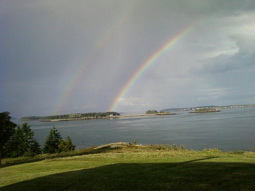
Rainbow over Indian Island.
camping summer water maine campsite cobscookbaystatepark
Our campsite overlooking the water...- Cobscook Bay State Park
canon pembroke maine eastport mainecoast downeast
Reversing Falls Park
Sipp's Bay Walk August 4, 2013
07-06-10
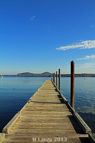
autumn canada fall dock maine newbrunswick stcroixriver washingtoncounty robbinsville robbinston
Looking To New Brunswick
blue trees vacation water grass fog dark landscape dusk maine foggy scenic bluesky marsh lubec
Cool Blue
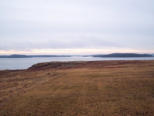
canada geotagged can nb newbrunswick deerisland campobelloisland maritimes2012 geo:lat=4492559553 geo:lon=6698378205
Watching the Tide Come In
canada geotagged can nb newbrunswick deerisland campobelloisland maritimes2012 geo:lat=4492523850 geo:lon=6698461354
Deer Island
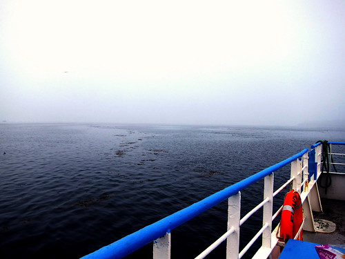
canada me ferry geotagged boat maine can nb newbrunswick eastport deerisland campobelloisland fundytrailii maritimes2012 geo:lat=4492573606 geo:lon=6698059559
Eastport ME-Deer Island NB Ferry
canada me ferry geotagged boat maine can nb newbrunswick eastport deerisland campobelloisland fundytrailii maritimes2012 geo:lat=4491610320 geo:lon=6697673321
Eastport ME-Deer Island NB Ferry
park camping seaweed bay rocks tide cobscook
low tide
canada geotagged can nb newbrunswick deerisland campobelloisland maritimes2012 geo:lat=4492558414 geo:lon=6698431849
Deer Island
usa me geotagged unitedstates maine eastport washingtoncountyme maritimes2012 geo:lat=4491023000 geo:lon=6698465109
Eastport Ferry Landing
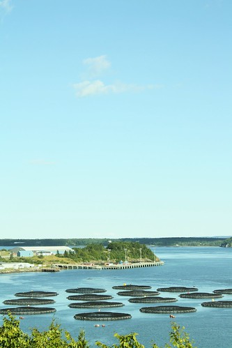
salmon pens
Salmon Pens
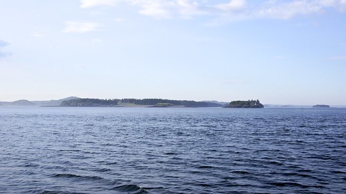
Aboard ferry to Deer Island
square squareformat iphoneography instagramapp uploaded:by=instagram
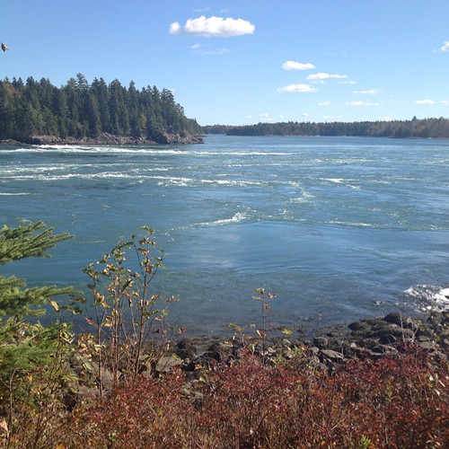
No filter for our picnic spot. Reversing Falls!!!
canada unitedstates maine newbrunswick lubec cummingscove
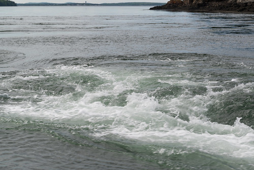
Old SOW Whirlpool