Elevation of 39th Ave, Columbus, NE, USA
Location: United States > Nebraska > Platte County > Columbus >
Longitude: -97.3755822
Latitude: 41.4493664
Elevation: 444m / 1457feet
Barometric Pressure: 0KPa
Related Photos:
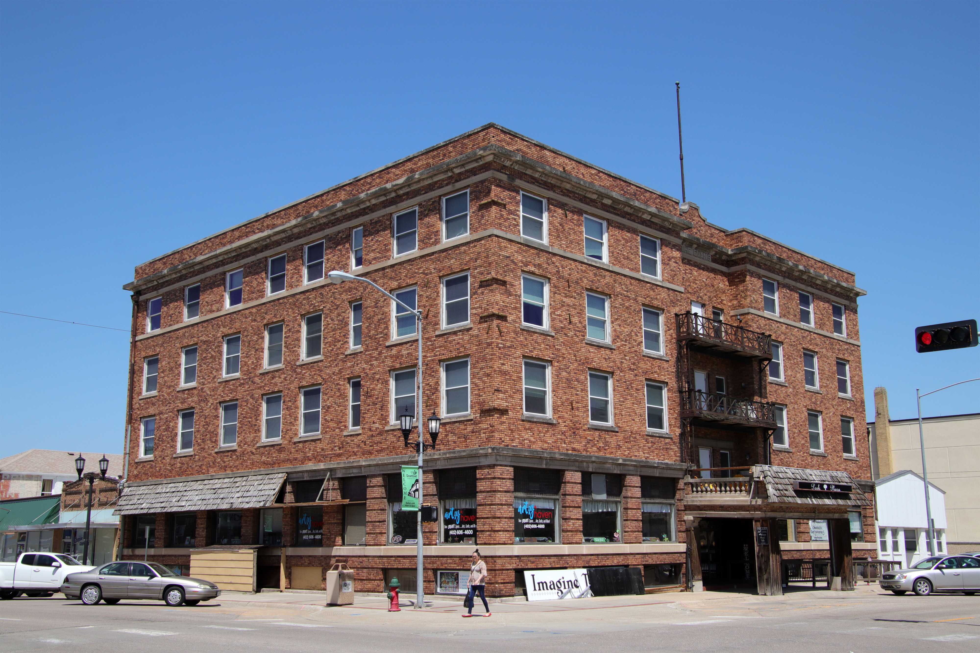
Park Plaza

St. Anthony's Catholic Church (rear view) - Columbus, NE

My work...

Richland-NE

061412 -

Wispy clouds

Hike time

Hike time

More shit laying around

061412 - Thats not a Mothership Thats a Space Station!!!!
Topographic Map of 39th Ave, Columbus, NE, USA
Find elevation by address:

Places near 39th Ave, Columbus, NE, USA:
3432 39th Ave
3668 39th Ave
Lost Creek Elementary School
3822 18th St
3065 26th Ave
Lincoln Hwy, Columbus, NE, USA
3221 13th St
1554 26th Ave
Columbus
2772 18th Ave
2772 18th Ave
2772 18th Ave
Pawnee Park
3200 6th St
Ramada Hotel & Conference Center By Wyndham Columbus
27th St, Columbus, NE, USA
118 23rd St
728 S 2nd St
419 4th St
330 S 3rd St
Recent Searches:
- Elevation of Denver, 2314, Arapahoe Street, Five Points, Denver, Colorado, 80205, USA
- Elevation of Community of the Beatitudes, 2924, West 43rd Avenue, Sunnyside, Denver, Colorado, 80211, USA
- Elevation map of Litang County, Sichuan, China
- Elevation map of Madoi County, Qinghai, China
- Elevation of 3314, Ohio State Route 114, Payne, Paulding County, Ohio, 45880, USA
- Elevation of Sarahills Drive, Saratoga, Santa Clara County, California, 95070, USA
- Elevation of Town of Bombay, Franklin County, New York, USA
- Elevation of 9, Convent Lane, Center Moriches, Suffolk County, New York, 11934, USA
- Elevation of Saint Angelas Convent, 9, Convent Lane, Center Moriches, Suffolk County, New York, 11934, USA
- Elevation of 131st Street Southwest, Mukilteo, Snohomish County, Washington, 98275, USA
- Elevation of 304, Harrison Road, Naples, Cumberland County, Maine, 04055, USA
- Elevation of 2362, Timber Ridge Road, Harrisburg, Cabarrus County, North Carolina, 28075, USA
- Elevation of Ridge Road, Marshalltown, Marshall County, Iowa, 50158, USA
- Elevation of 2459, Misty Shadows Drive, Pigeon Forge, Sevier County, Tennessee, 37862, USA
- Elevation of 8043, Brightwater Way, Spring Hill, Williamson County, Tennessee, 37179, USA
- Elevation of Starkweather Road, San Luis, Costilla County, Colorado, 81152, USA
- Elevation of 5277, Woodside Drive, Baton Rouge, East Baton Rouge Parish, Louisiana, 70808, USA
- Elevation of 1139, Curtin Street, Shepherd Park Plaza, Houston, Harris County, Texas, 77018, USA
- Elevation of 136, Sellers Lane, Repton, Monroe County, Alabama, 36475, USA
- Elevation of 12914, Elmington Drive, Lakewood Forest, Houston, Harris County, Texas, 77429, USA