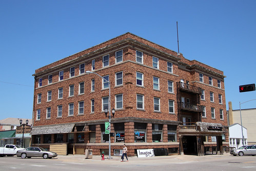
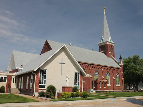
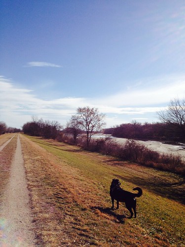
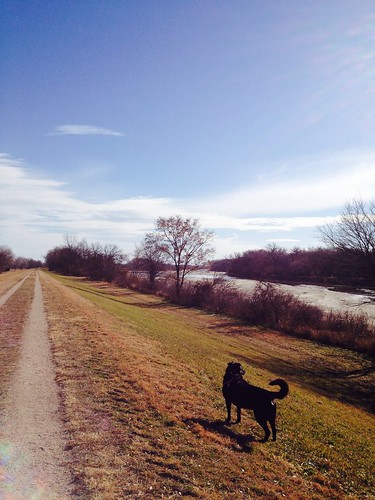
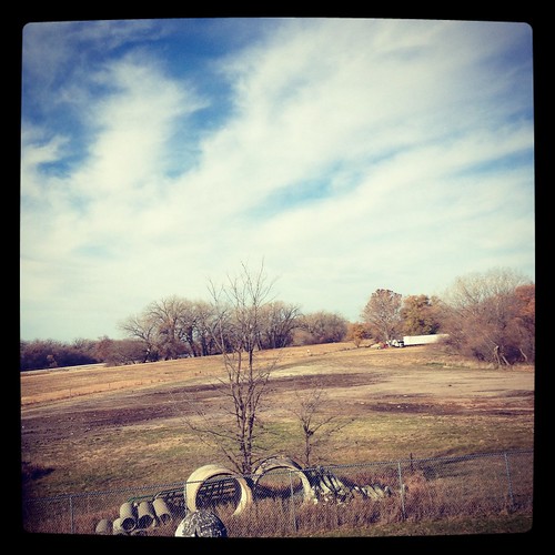
Elevation of 39th Ave, Columbus, NE, USA
Location: United States > Nebraska > Platte County > Columbus >
Longitude: -97.376093
Latitude: 41.4517486
Elevation: 443m / 1453feet
Barometric Pressure: 96KPa
Related Photos:
Topographic Map of 39th Ave, Columbus, NE, USA
Find elevation by address:

Places near 39th Ave, Columbus, NE, USA:
3432 39th Ave
3432 39th Ave
Lost Creek Elementary School
3822 18th St
3065 26th Ave
Lincoln Hwy, Columbus, NE, USA
3221 13th St
1554 26th Ave
Columbus
2772 18th Ave
2772 18th Ave
2772 18th Ave
Pawnee Park
3200 6th St
Ramada Hotel & Conference Center By Wyndham Columbus
27th St, Columbus, NE, USA
118 23rd St
728 S 2nd St
419 4th St
330 S 3rd St
Recent Searches:
- Elevation of Corso Fratelli Cairoli, 35, Macerata MC, Italy
- Elevation of Tallevast Rd, Sarasota, FL, USA
- Elevation of 4th St E, Sonoma, CA, USA
- Elevation of Black Hollow Rd, Pennsdale, PA, USA
- Elevation of Oakland Ave, Williamsport, PA, USA
- Elevation of Pedrógão Grande, Portugal
- Elevation of Klee Dr, Martinsburg, WV, USA
- Elevation of Via Roma, Pieranica CR, Italy
- Elevation of Tavkvetili Mountain, Georgia
- Elevation of Hartfords Bluff Cir, Mt Pleasant, SC, USA
