Elevation of 38 Lizzie Arnold Ln, Monticello, MS, USA
Location: United States > Mississippi > Lawrence County > Monticello >
Longitude: -90.141609
Latitude: 31.536725
Elevation: 76m / 249feet
Barometric Pressure: 100KPa
Elevation Map:
Satellite Map:
Related Photos:
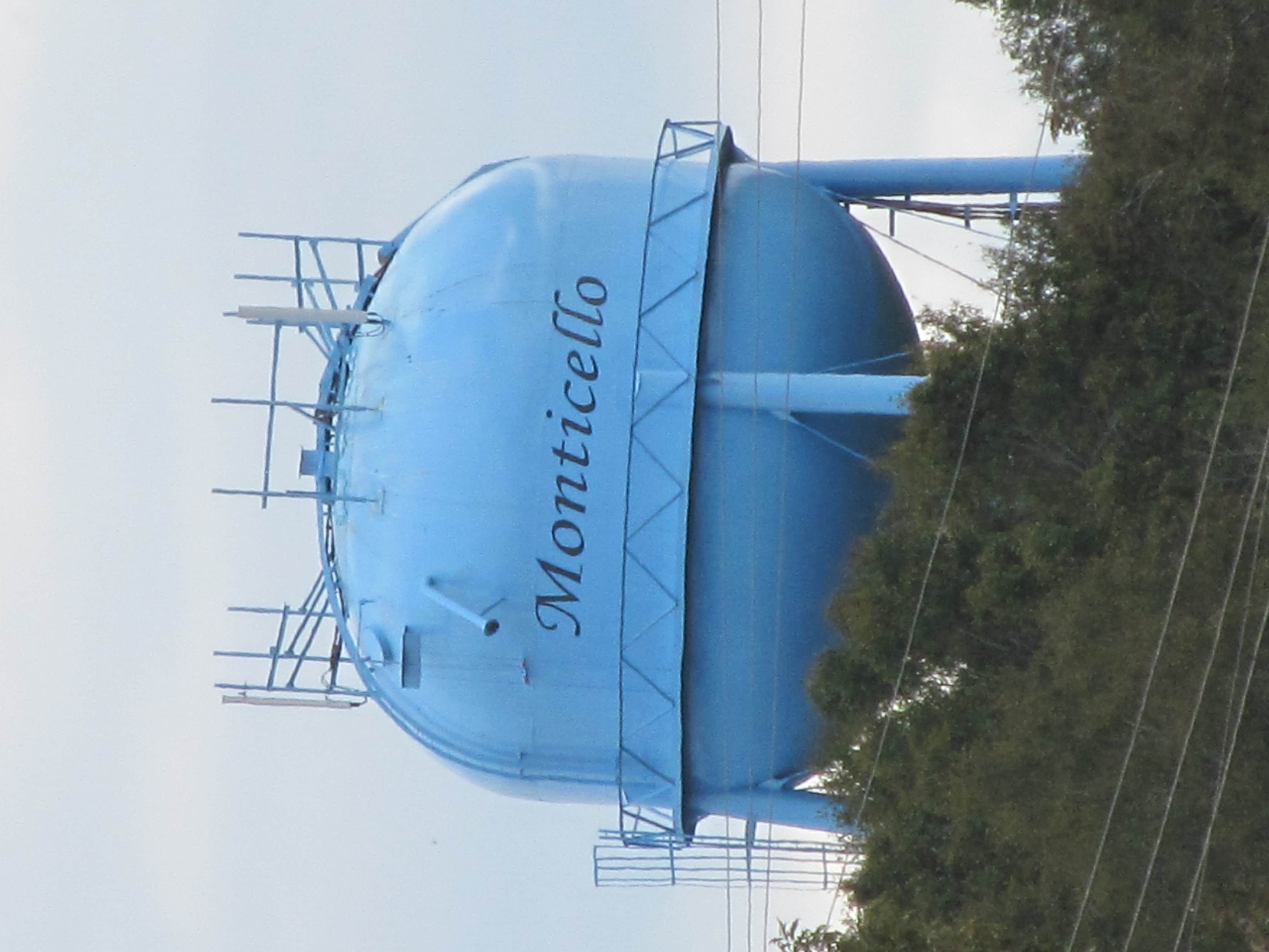
Monticello
Pearl River
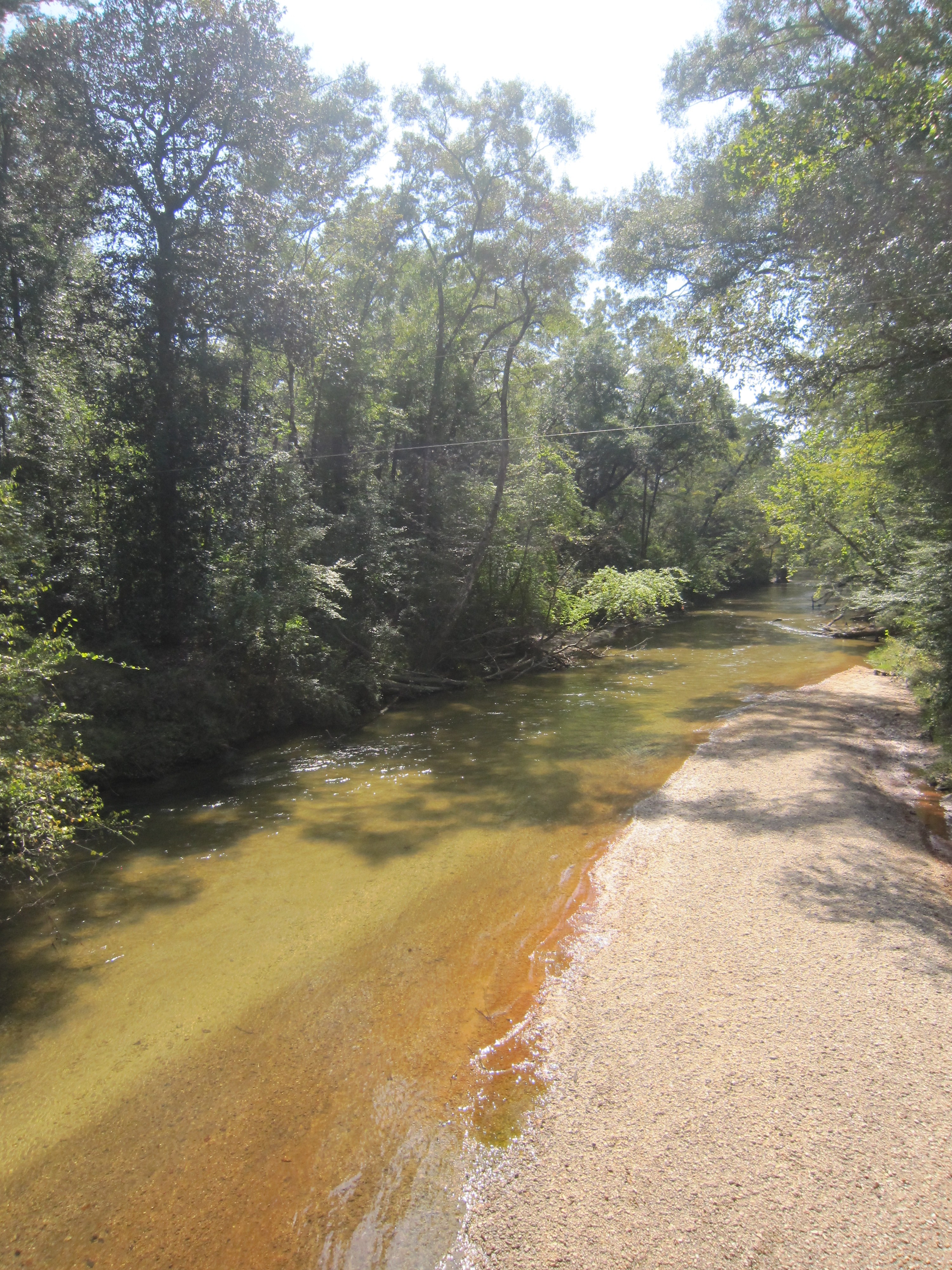
White Sand Creek 2

Summers Lane S.E.
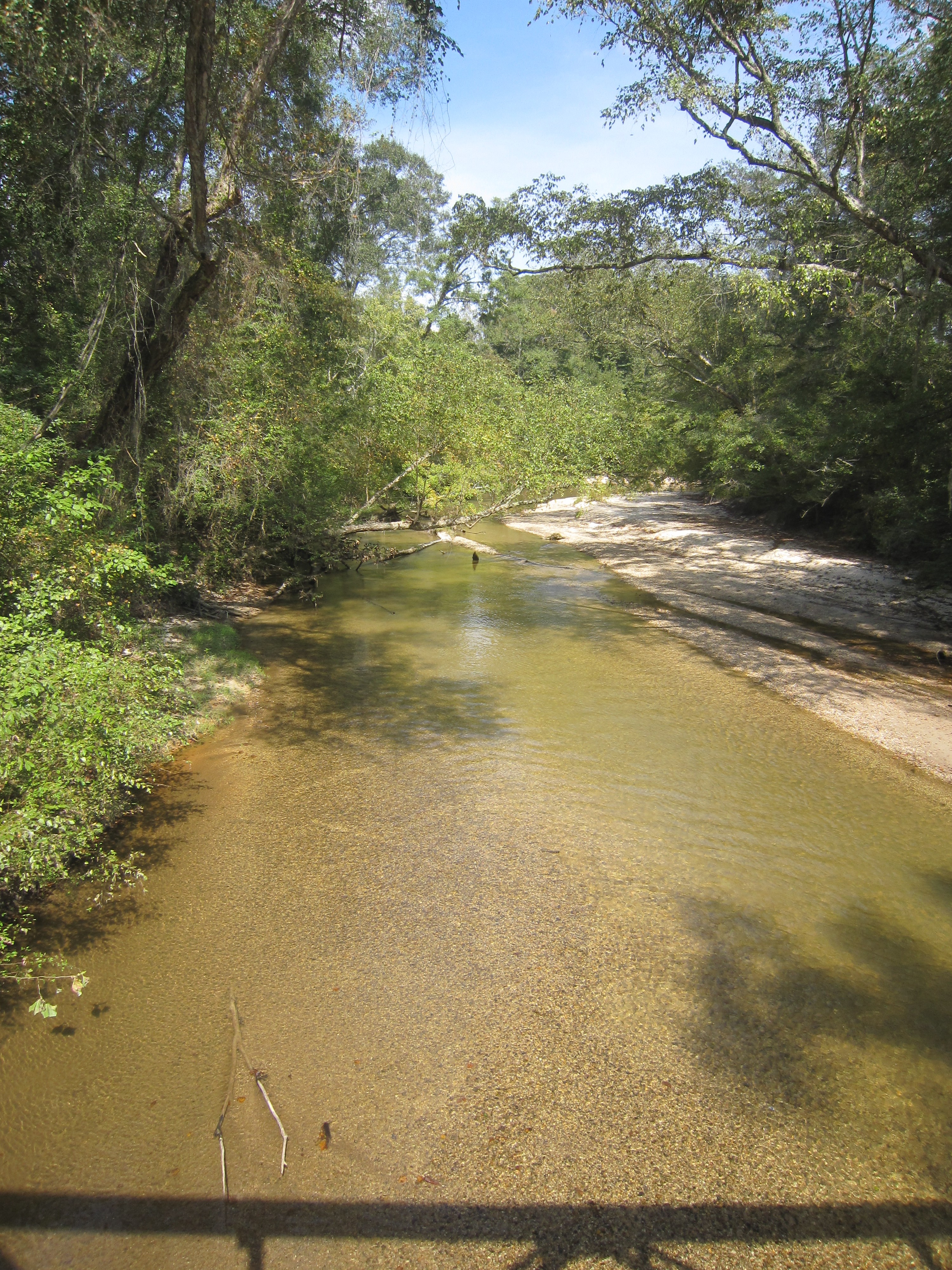
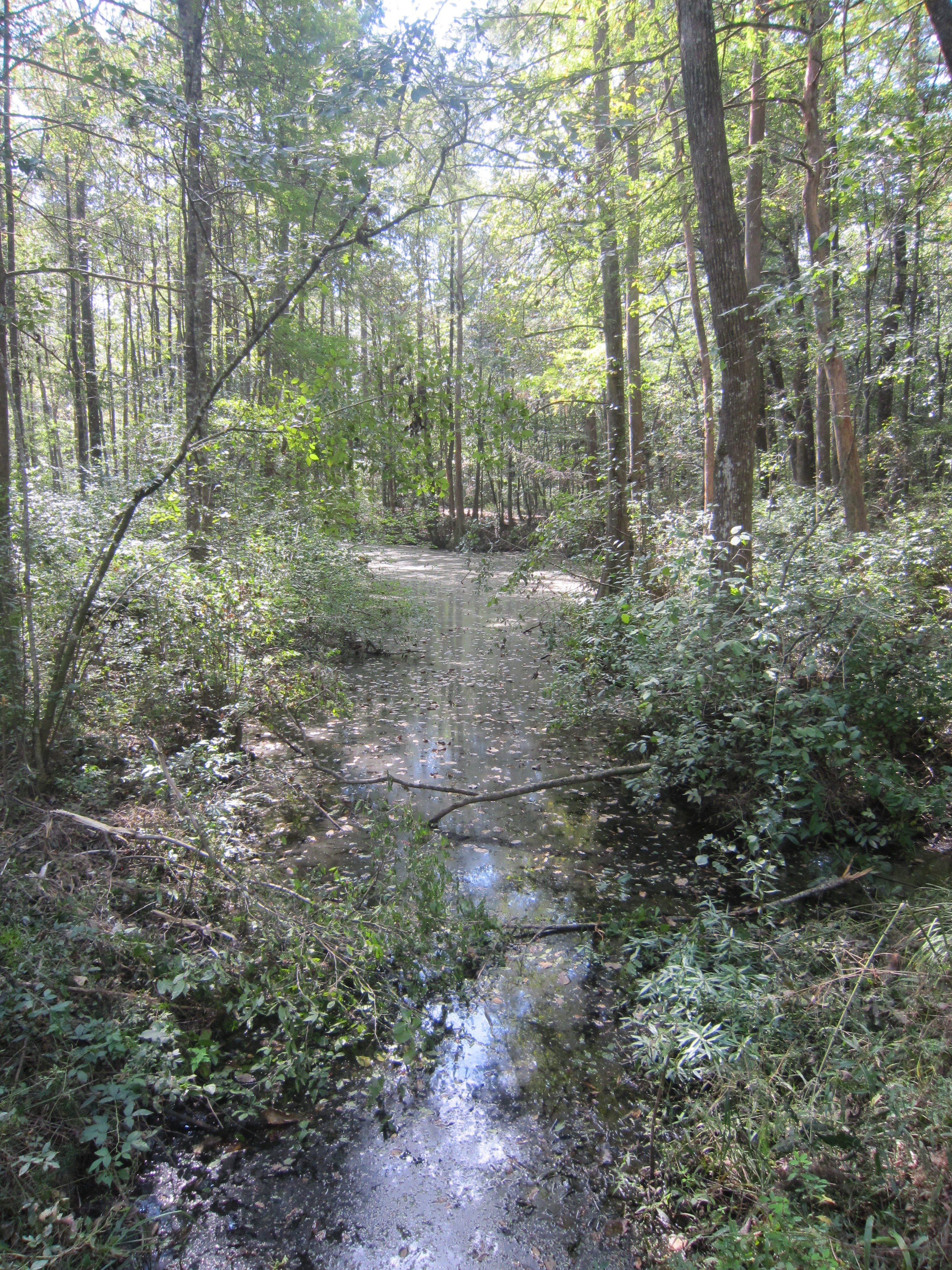
White Sand Creek
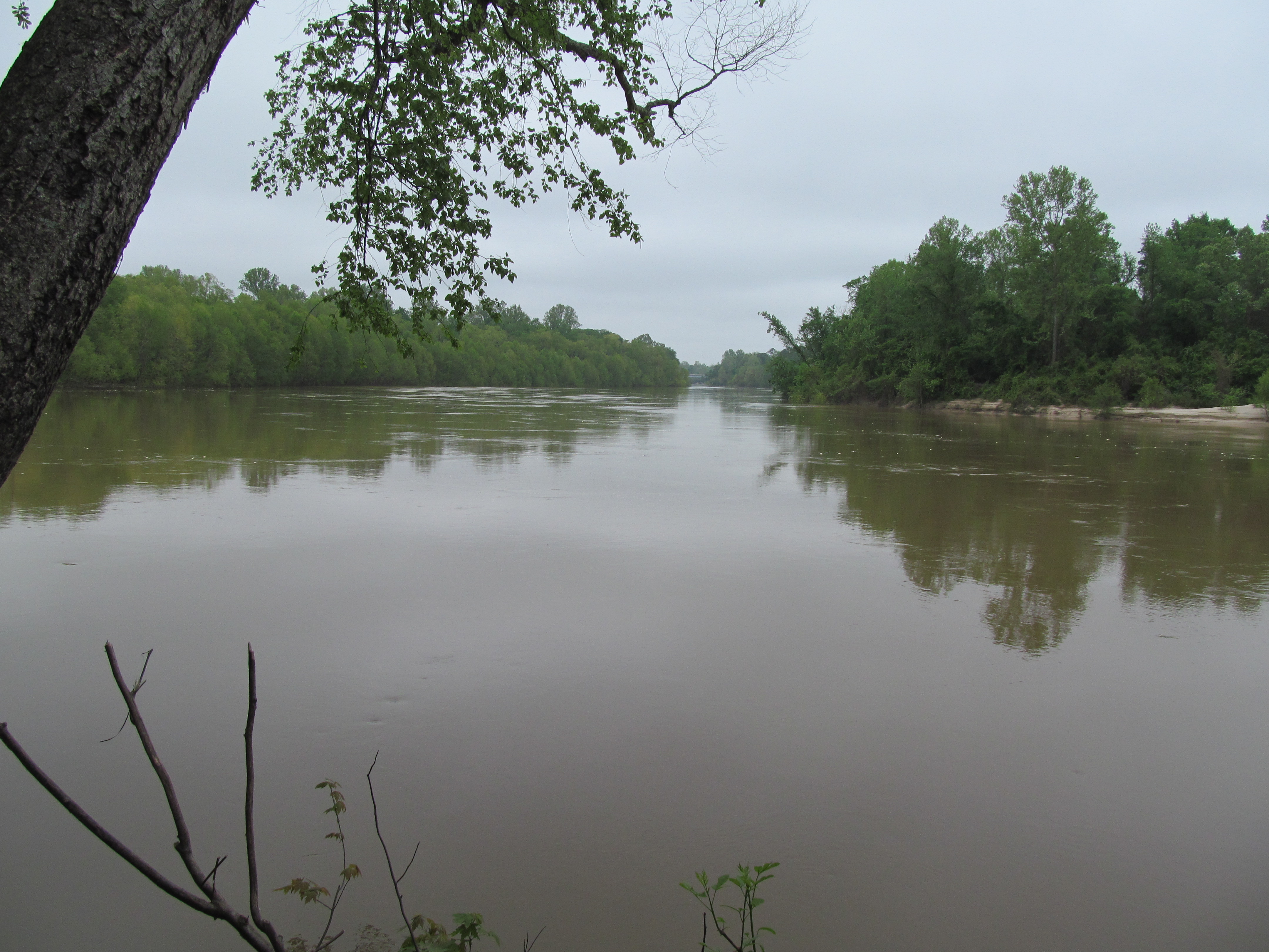
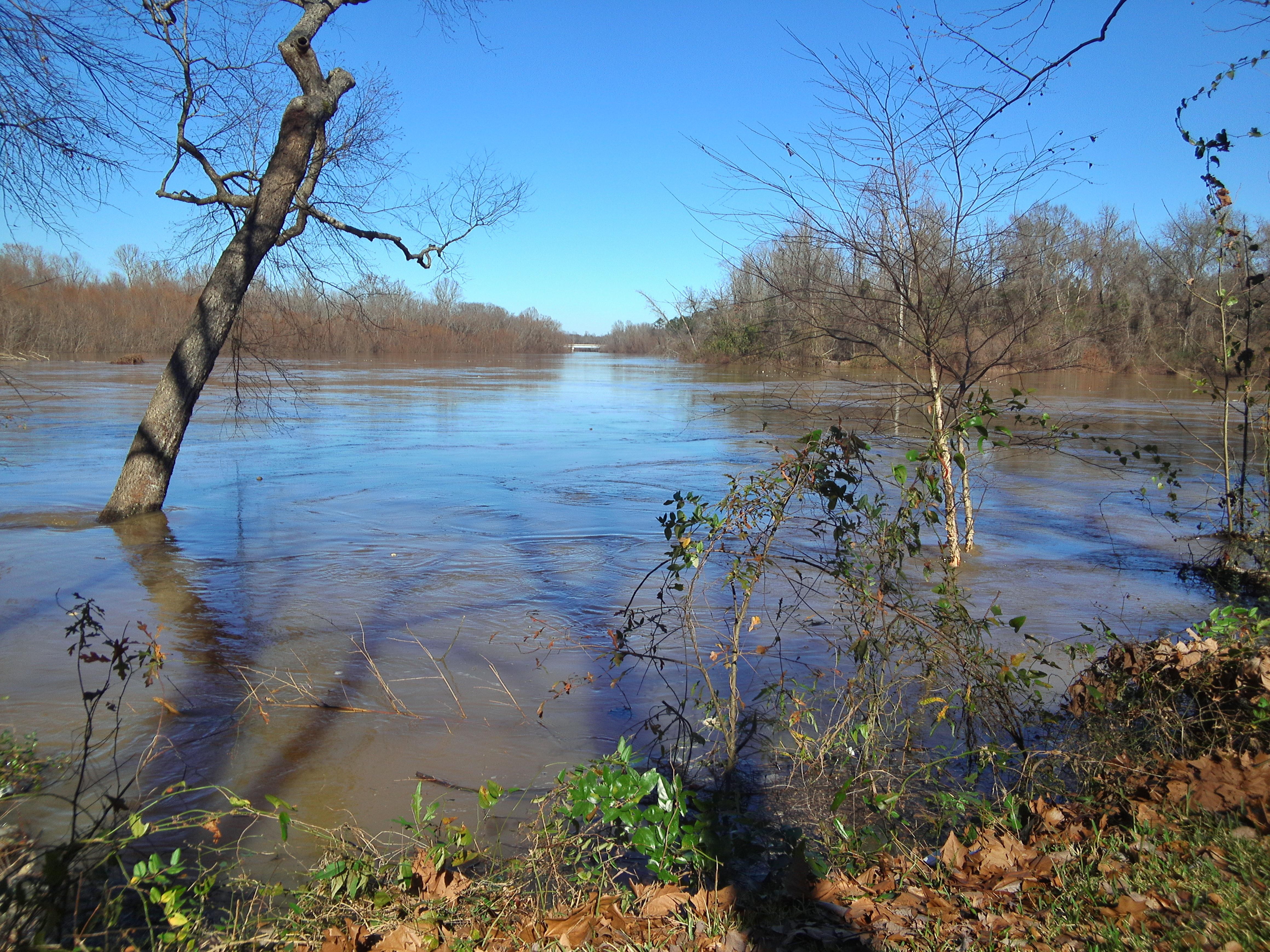
Pearl River
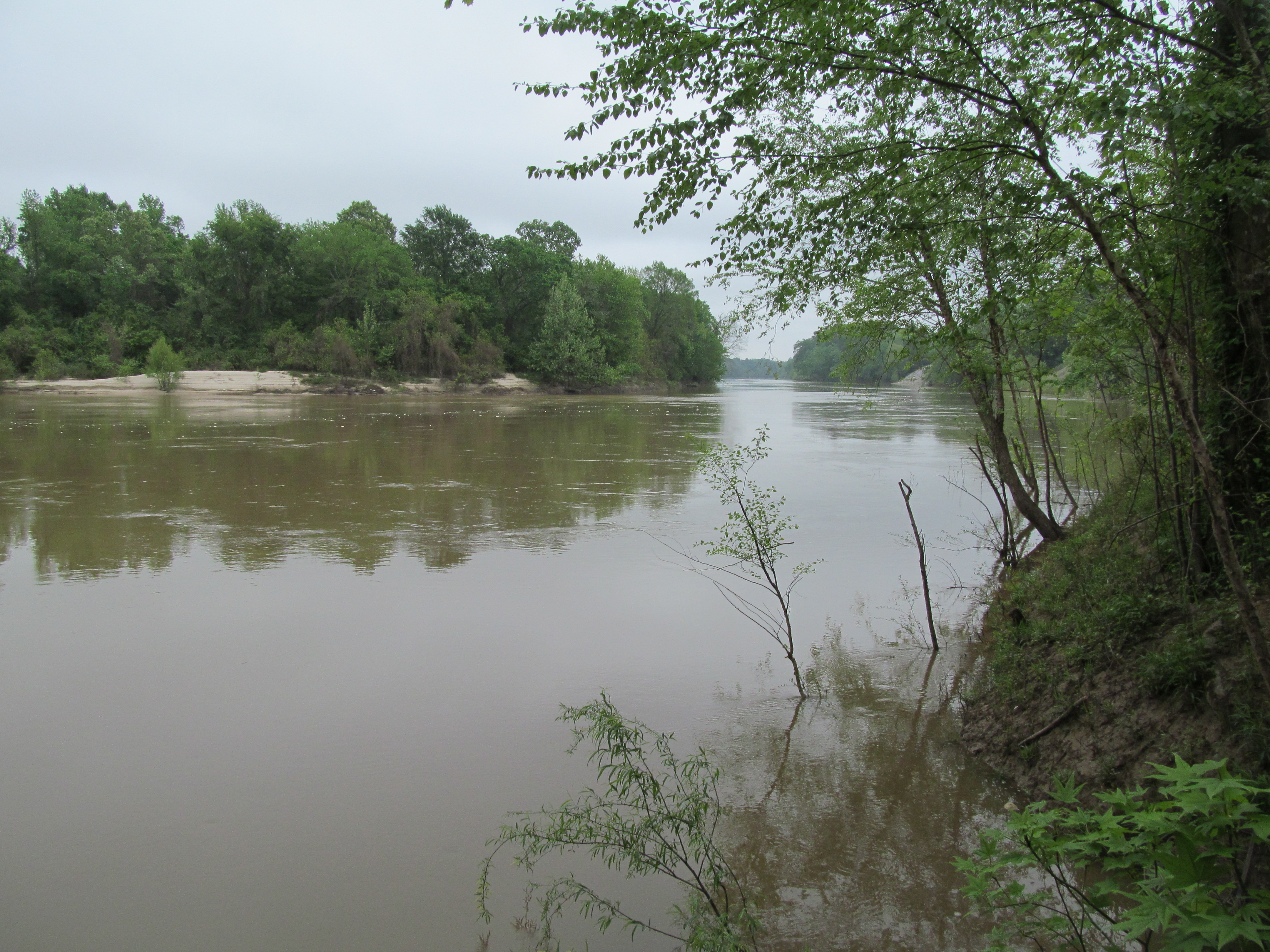
Pearl River

River Road
River Road 4

More Skins

Wild Roses

War Zone

You Moult Here Often?

Out with the New...

Molting Together

Group Meeting

Out & About

Noodle Jct

Noodle Jct

Power Up

Highway Hotel

Brianna Route 8

Brianna Route 8

Brianna Route 8

Brianna Route 8

Brianna Route 8

Sharp Curve

Sharp Curve

What R U Looking At?

Wild Roses
Topographic Map of 38 Lizzie Arnold Ln, Monticello, MS, USA
Find elevation by address:

Places near 38 Lizzie Arnold Ln, Monticello, MS, USA:
Light Plant Road
1400 Smith Lane
West Thomas E Jolly Drive
Graham Avenue
Brookhaven Street
622 E Mcpherson Dr
Monticello
Oak Grove Road
618 Carmel-new Hope Rd
42 Sycamore Dr
Lawrence County
E Lincoln Rd, Monticello, MS, USA
60 Boutwell Rd, Monticello, MS, USA
Robert Tynes Road
Tom Sistrunk Road
Rutland Road
Tilton
Jayess
42 Oma Sugar Farm Rd, Monticello, MS, USA
4037 Fire Tower Rd
Recent Searches:
- Elevation of Corso Fratelli Cairoli, 35, Macerata MC, Italy
- Elevation of Tallevast Rd, Sarasota, FL, USA
- Elevation of 4th St E, Sonoma, CA, USA
- Elevation of Black Hollow Rd, Pennsdale, PA, USA
- Elevation of Oakland Ave, Williamsport, PA, USA
- Elevation of Pedrógão Grande, Portugal
- Elevation of Klee Dr, Martinsburg, WV, USA
- Elevation of Via Roma, Pieranica CR, Italy
- Elevation of Tavkvetili Mountain, Georgia
- Elevation of Hartfords Bluff Cir, Mt Pleasant, SC, USA