Elevation of Lawrence County, MS, USA
Location: United States > Mississippi >
Longitude: -90.074676
Latitude: 31.5369786
Elevation: 55m / 180feet
Barometric Pressure: 101KPa
Elevation Map:
Satellite Map:
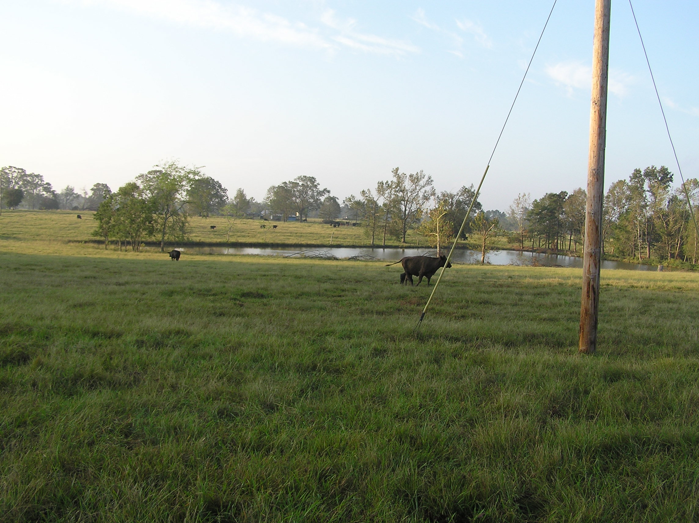
Related Photos:
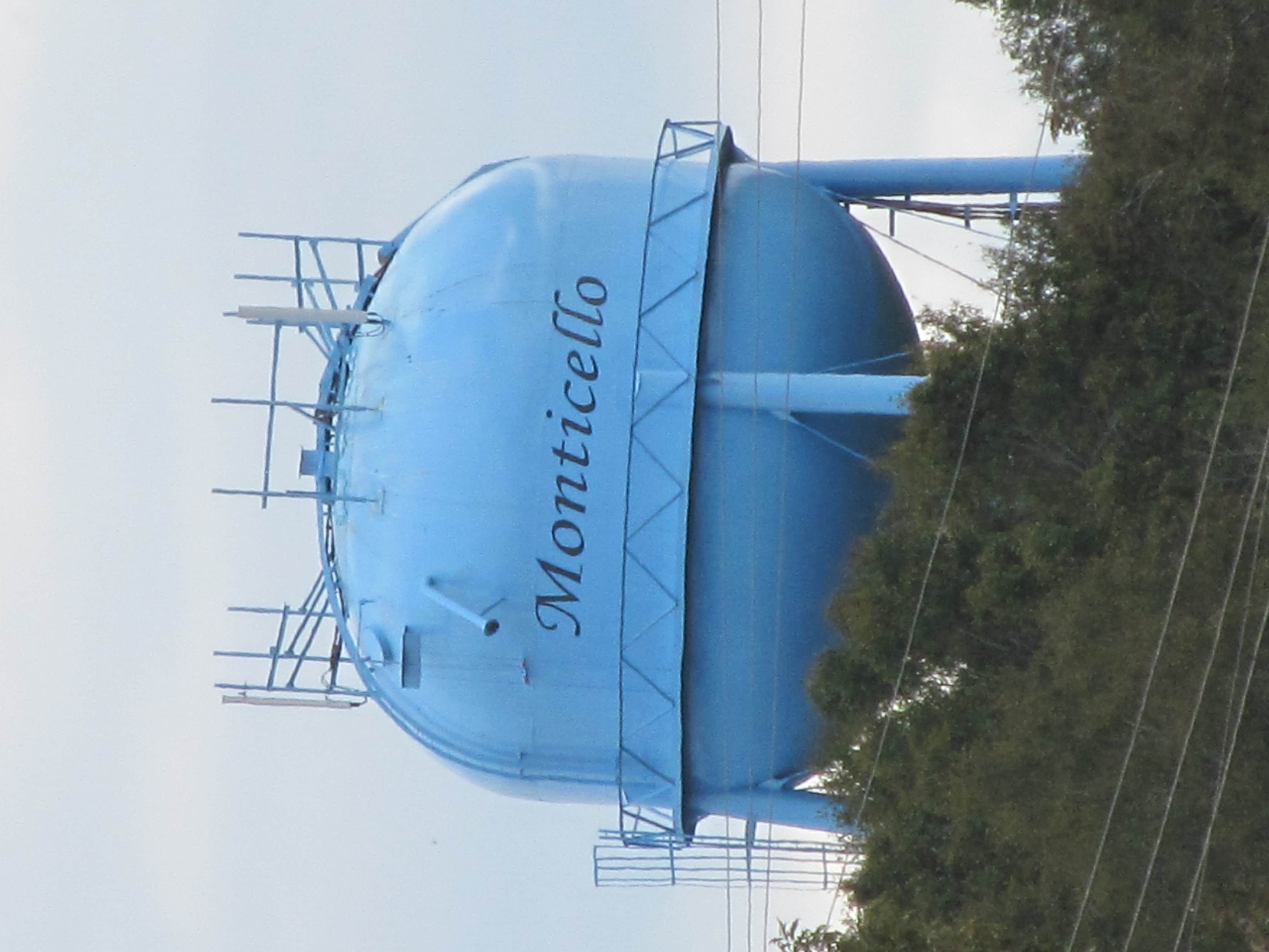
Monticello

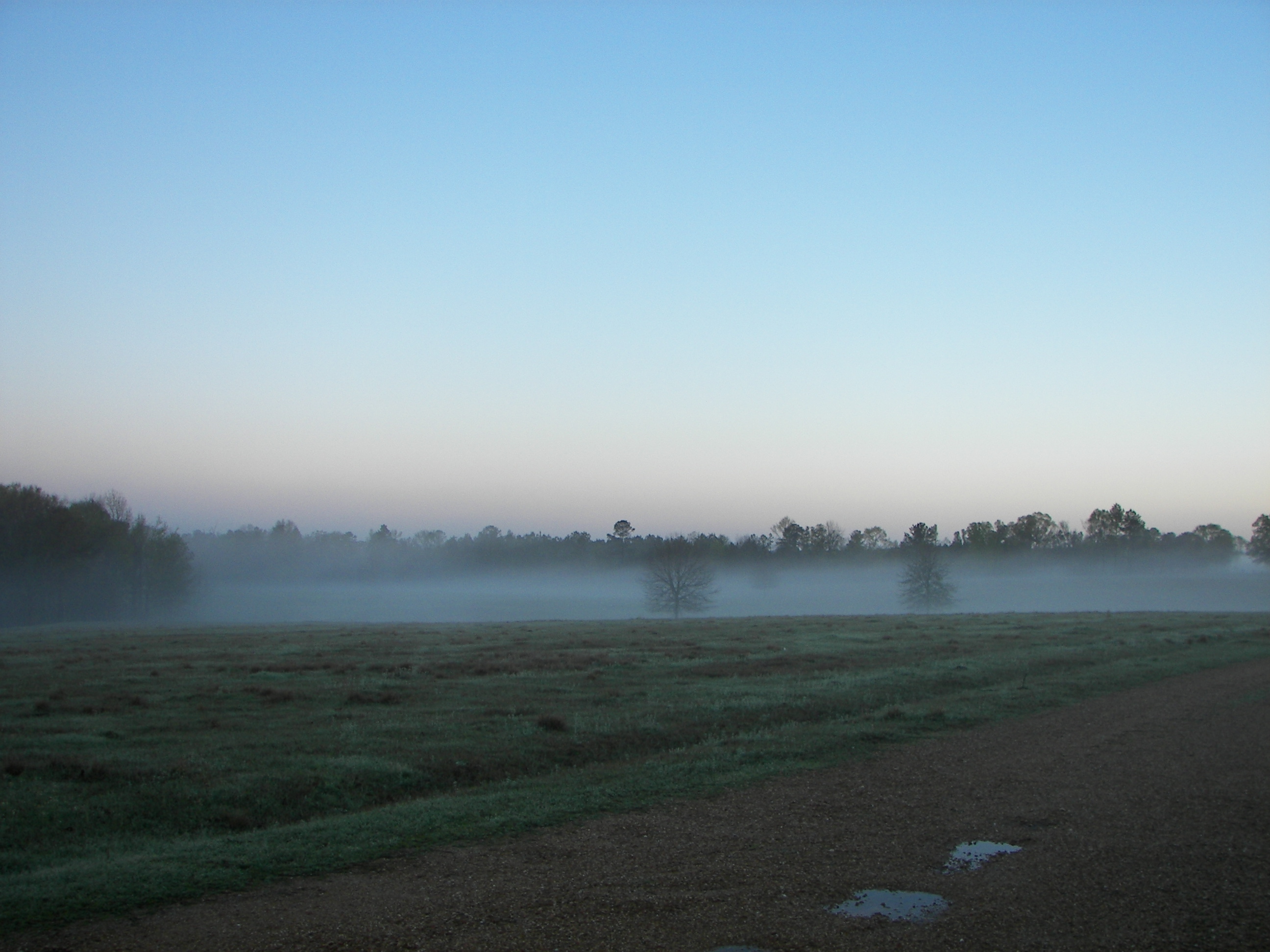
Spring on the prairie.
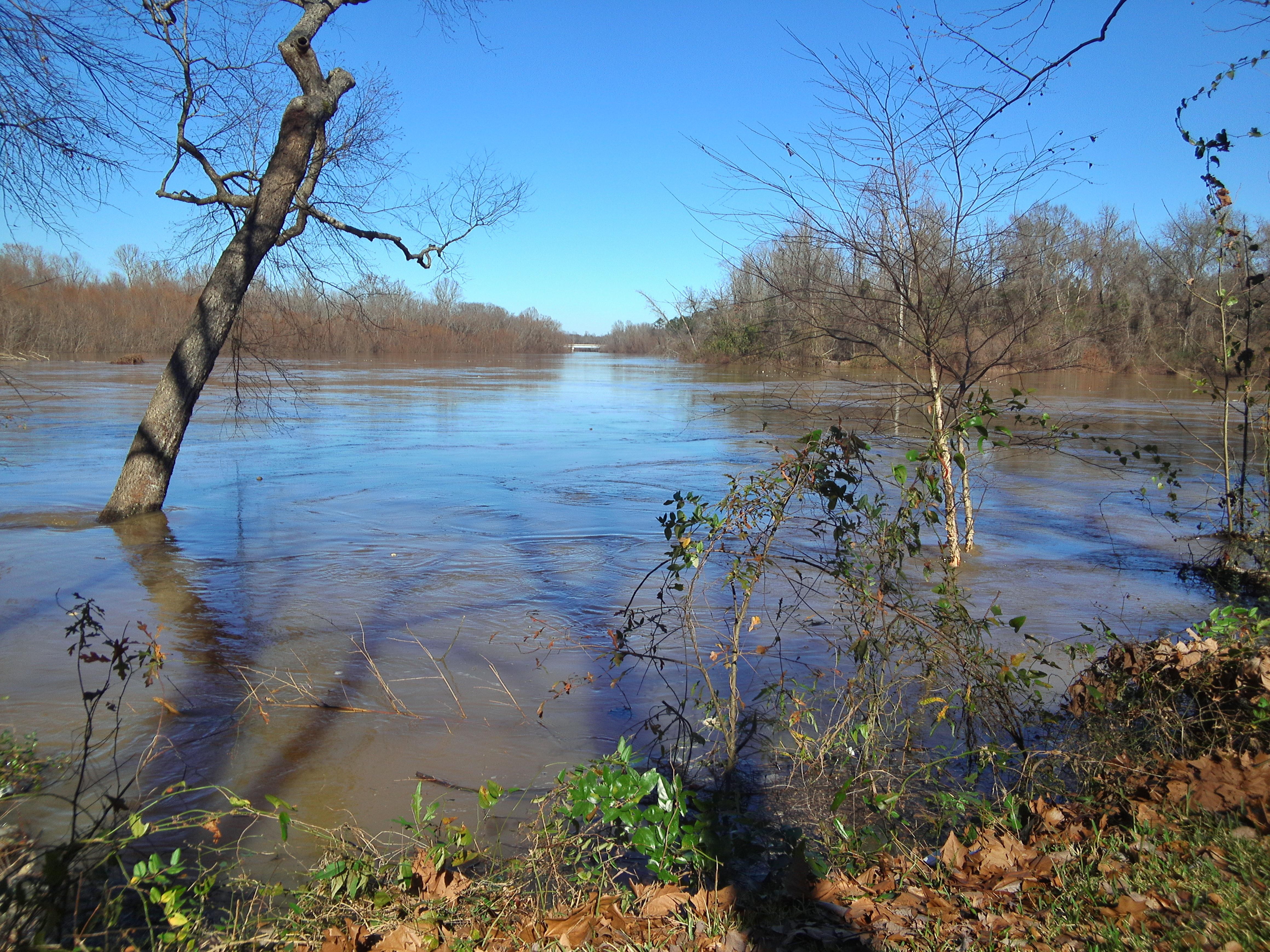
Pearl River
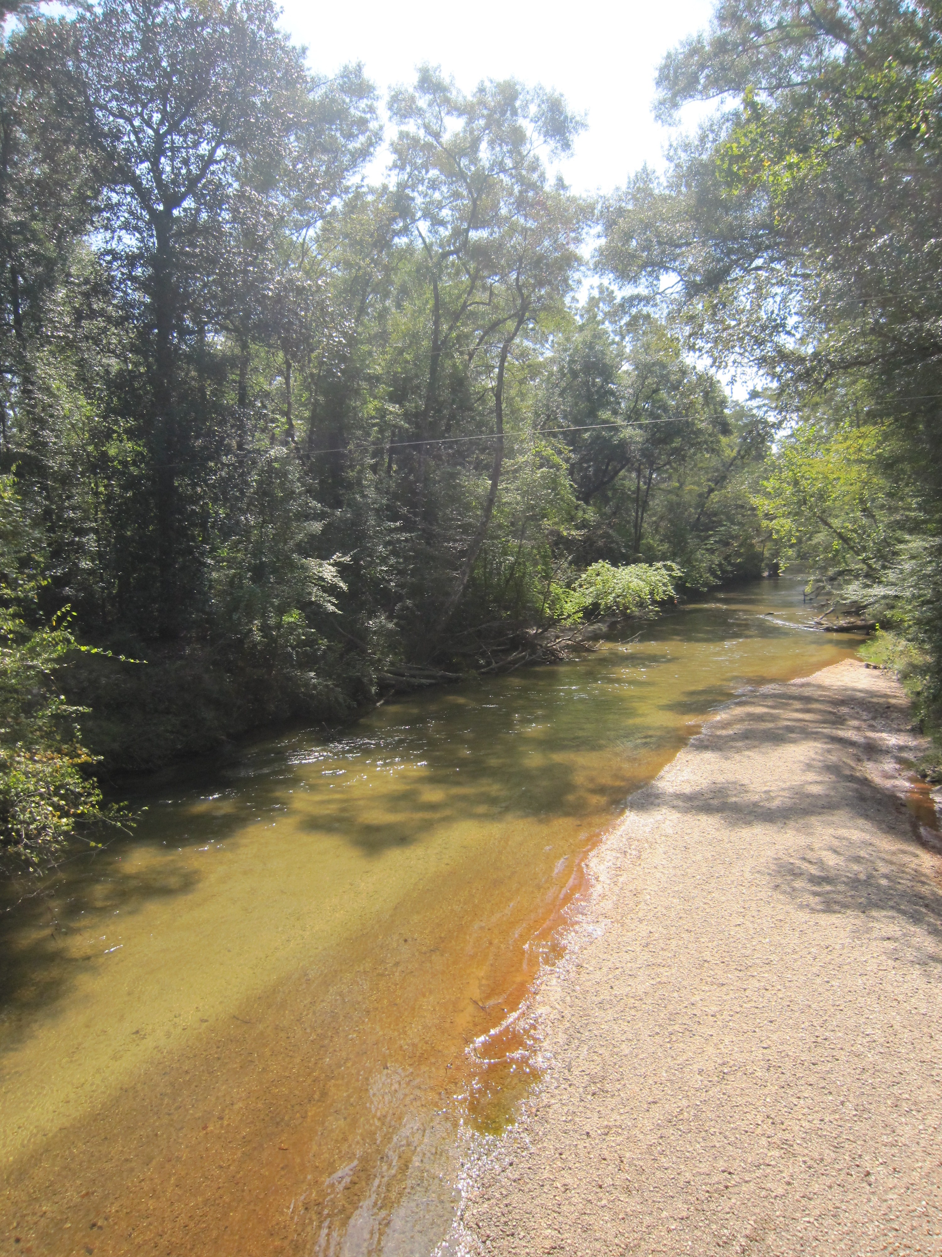
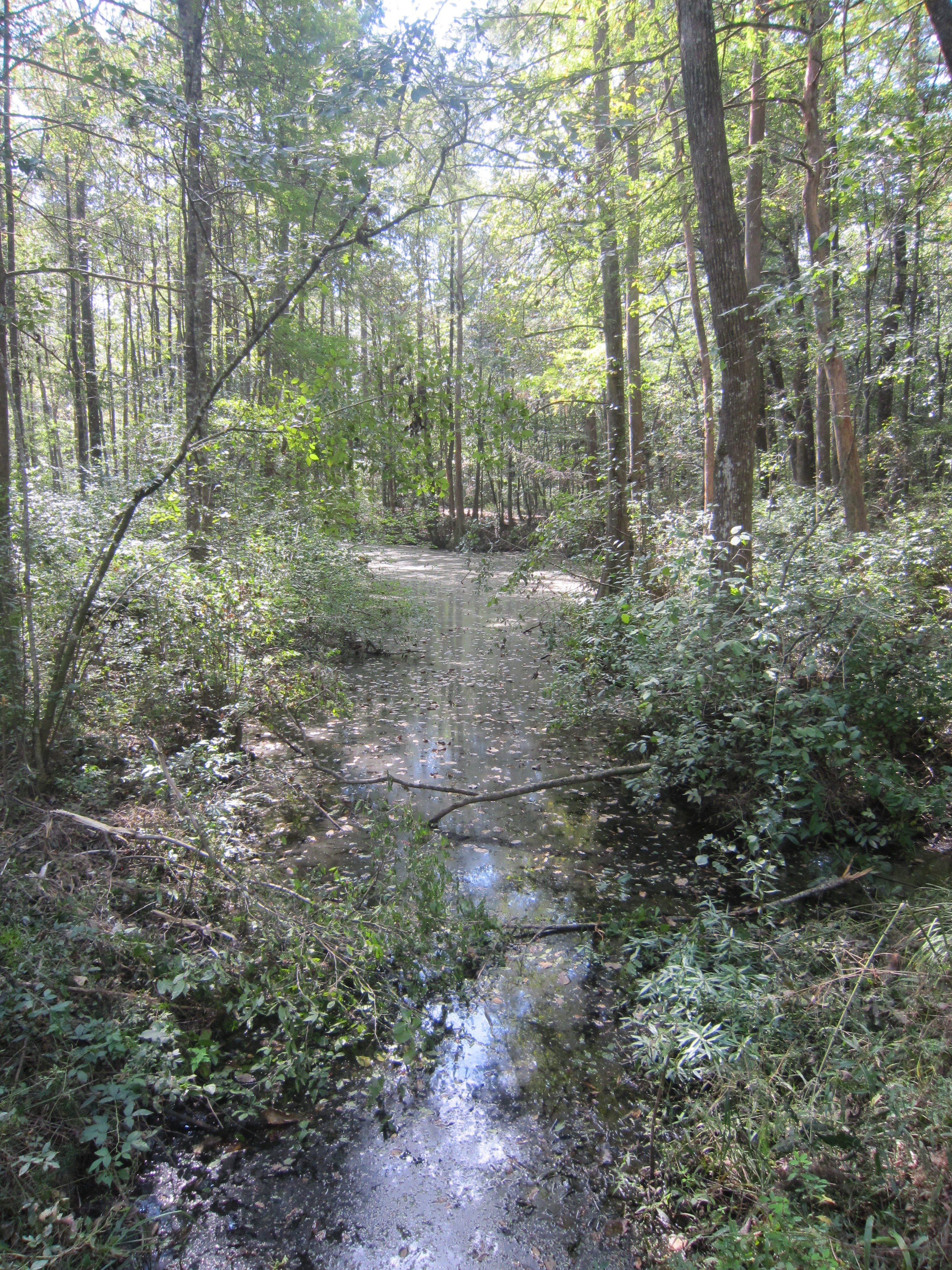
White Sand Creek 2
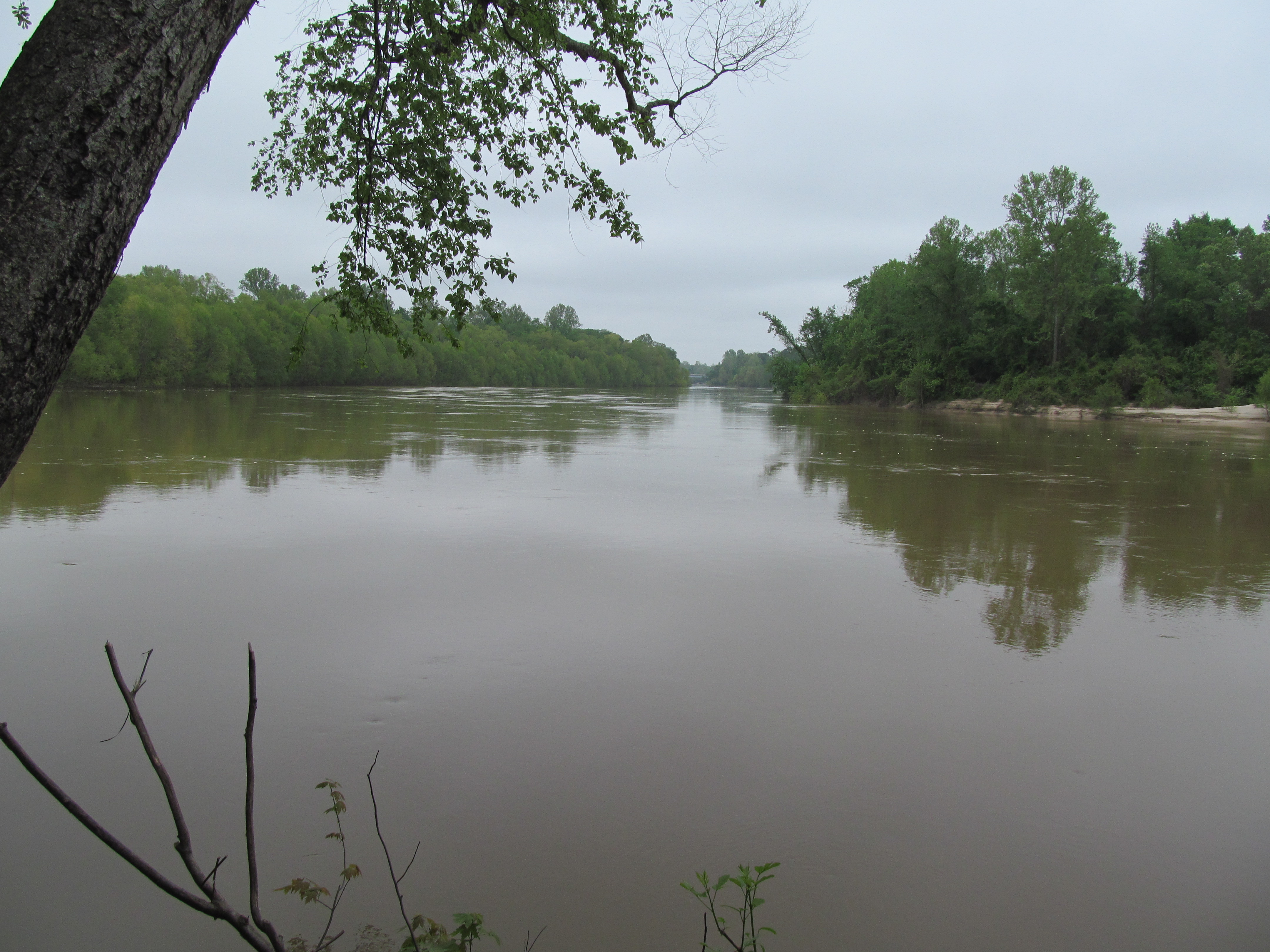
Pearl River
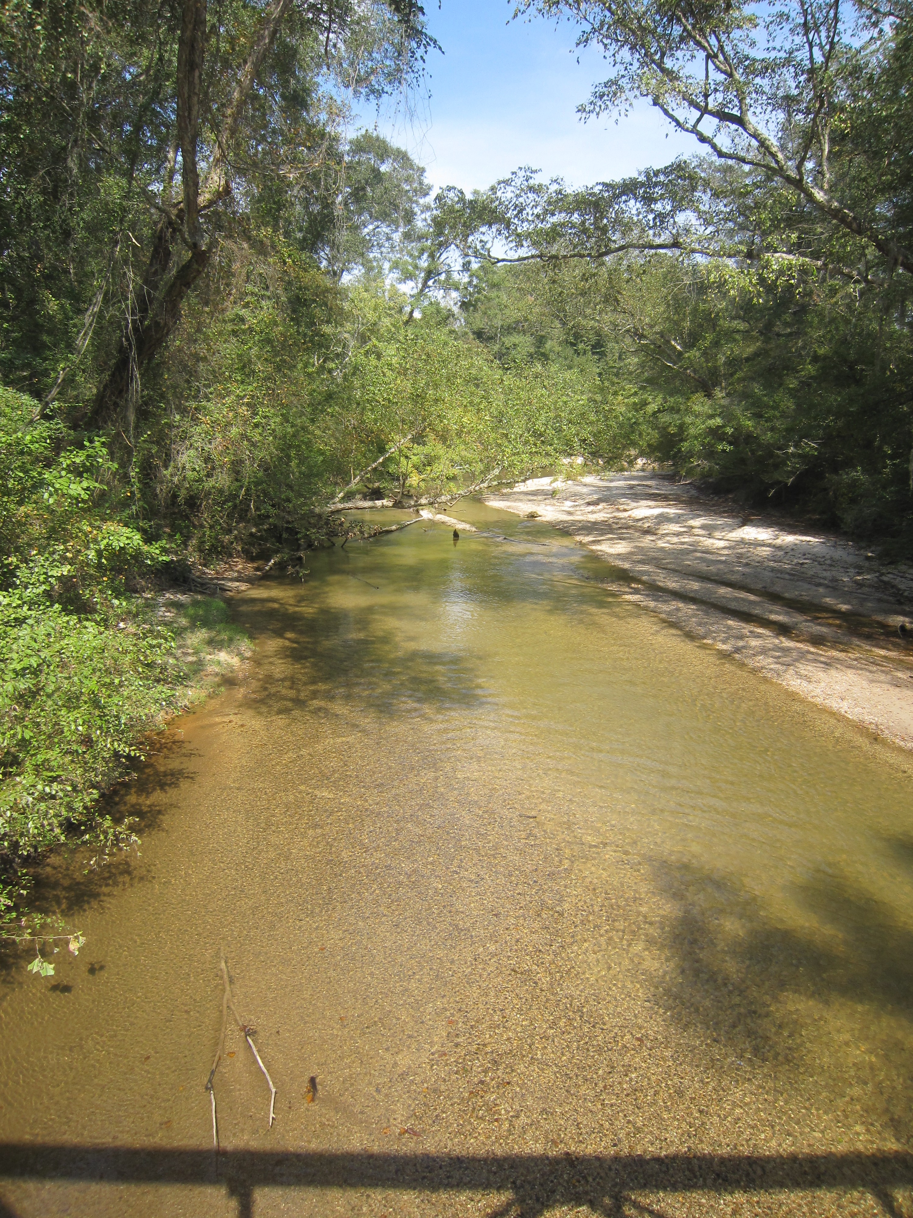
White Sand Creek
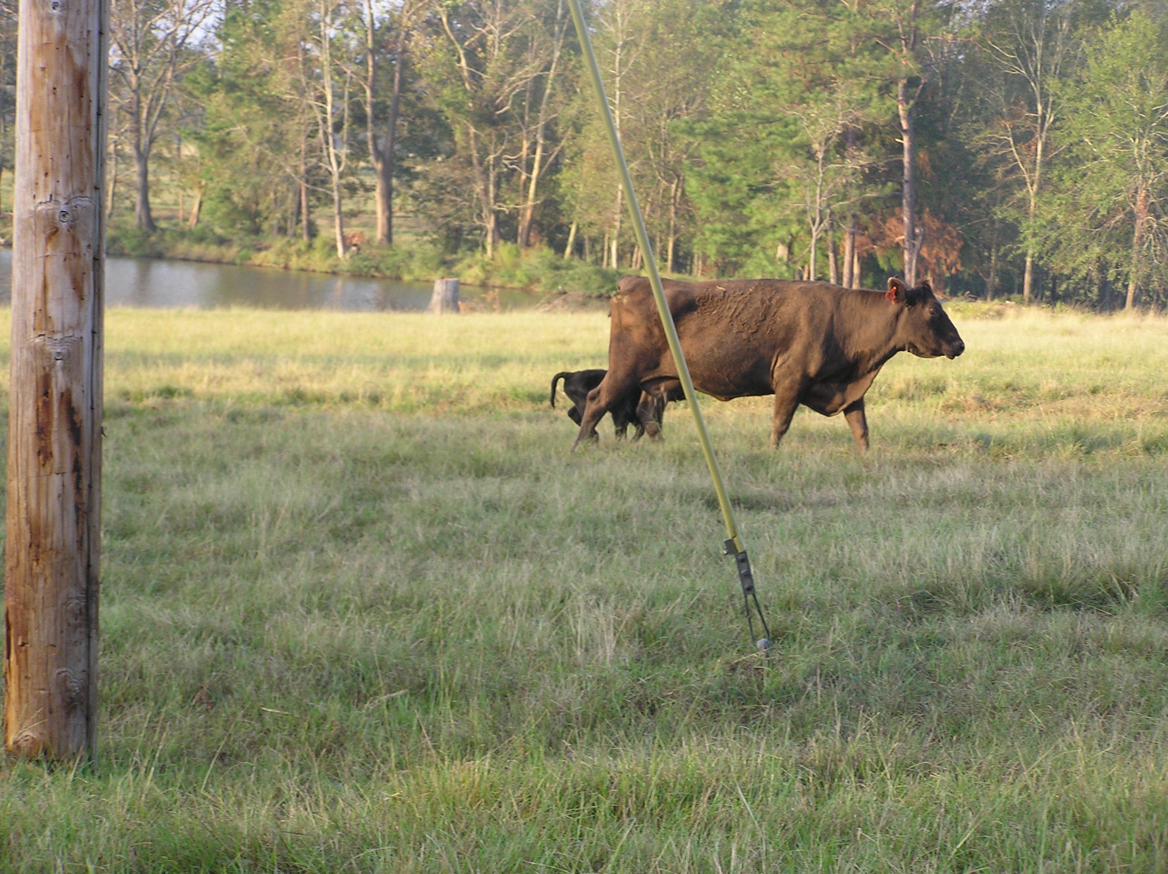
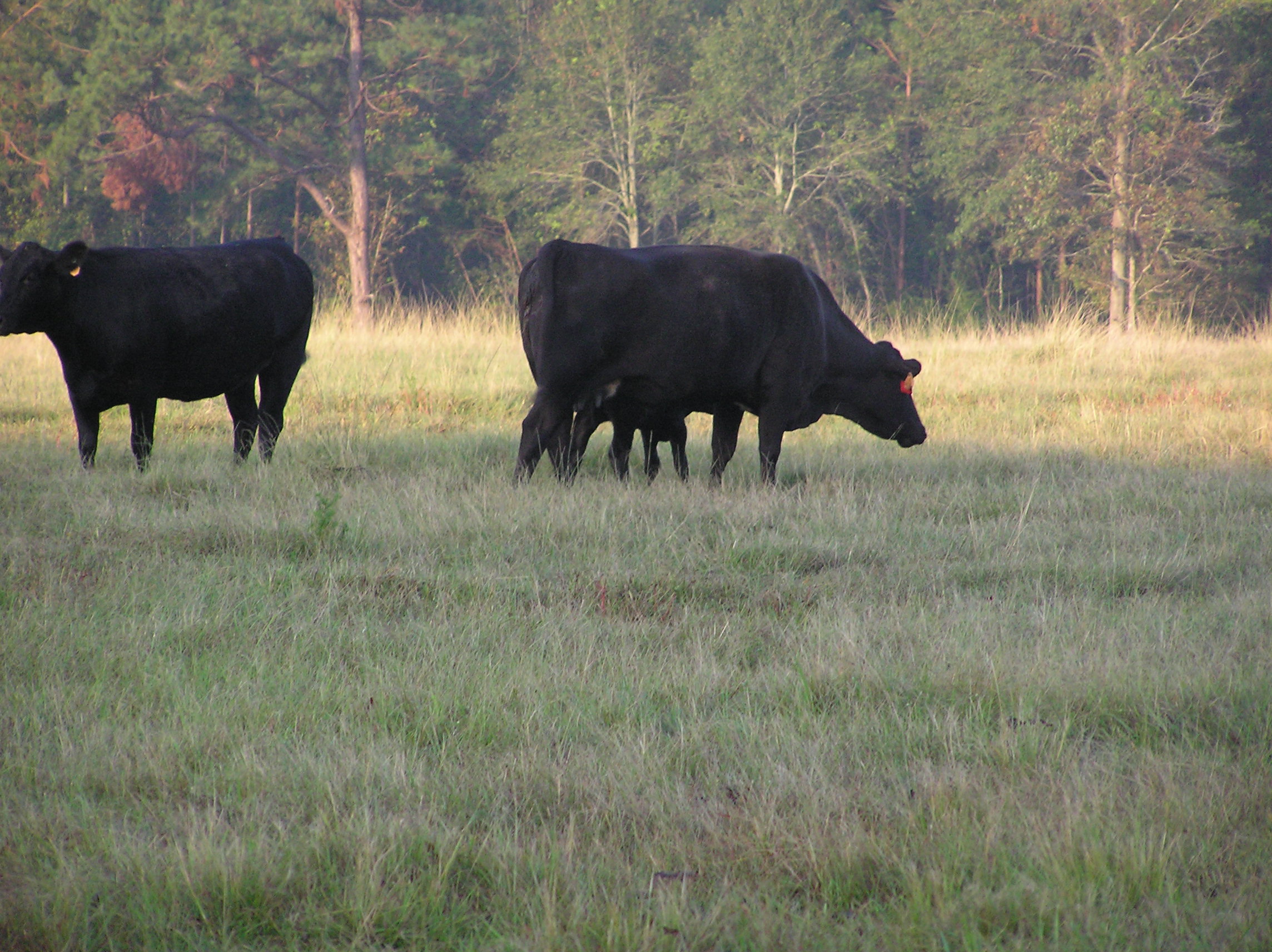
Picture 012
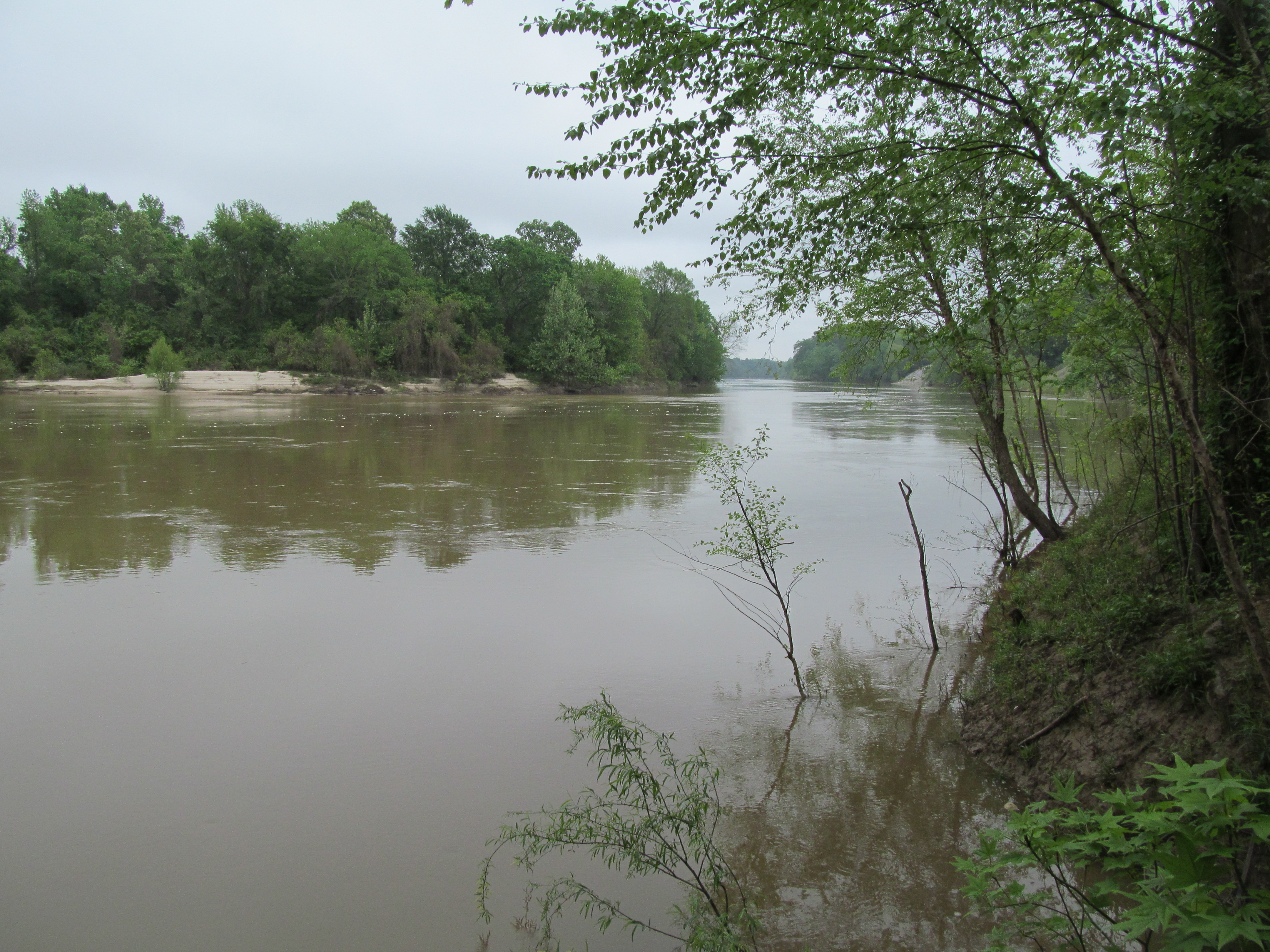
Pearl River
Picture 013

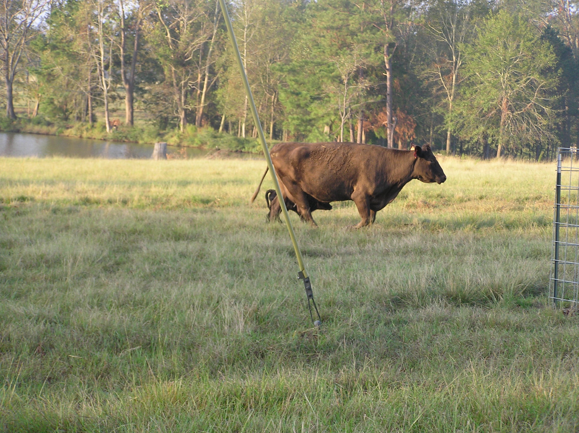
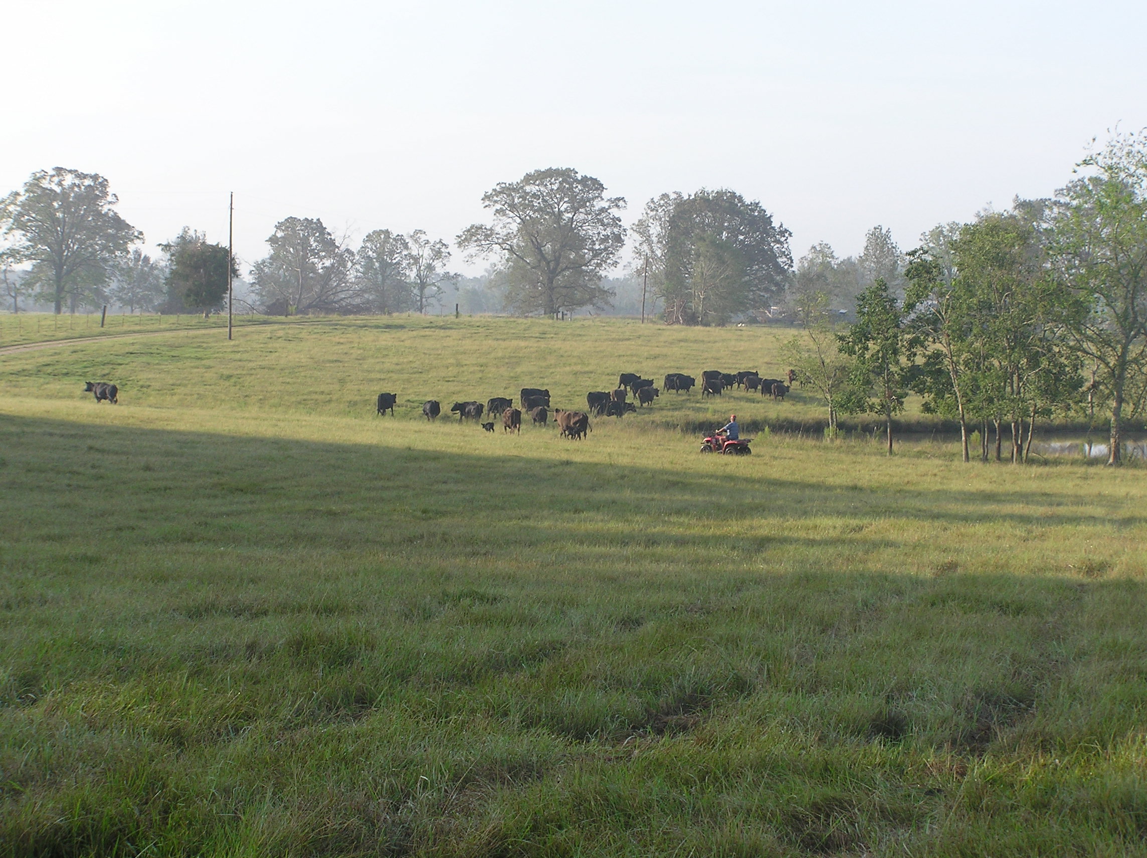
Picture 313

River Road
Picture 002

Picture 003
Sunrise-032106-Front0013
River Road 4
Picture 323
Picture 011
Topographic Map of Lawrence County, MS, USA
Find elevation by address:

Places in Lawrence County, MS, USA:
Places near Lawrence County, MS, USA:
622 E Mcpherson Dr
Oak Grove Road
Monticello
Brookhaven Street
1400 Smith Lane
West Thomas E Jolly Drive
Graham Avenue
Light Plant Road
38 Lizzie Arnold Ln
618 Carmel-new Hope Rd
60 Boutwell Rd, Monticello, MS, USA
42 Sycamore Dr
Tilton
Robert Tynes Road
Tom Sistrunk Road
E Lincoln Rd, Monticello, MS, USA
Rutland Road
42 Oma Sugar Farm Rd, Monticello, MS, USA
Jayess
4037 Fire Tower Rd
Recent Searches:
- Elevation of Corso Fratelli Cairoli, 35, Macerata MC, Italy
- Elevation of Tallevast Rd, Sarasota, FL, USA
- Elevation of 4th St E, Sonoma, CA, USA
- Elevation of Black Hollow Rd, Pennsdale, PA, USA
- Elevation of Oakland Ave, Williamsport, PA, USA
- Elevation of Pedrógão Grande, Portugal
- Elevation of Klee Dr, Martinsburg, WV, USA
- Elevation of Via Roma, Pieranica CR, Italy
- Elevation of Tavkvetili Mountain, Georgia
- Elevation of Hartfords Bluff Cir, Mt Pleasant, SC, USA