Elevation of 34B, Peru
Location: Peru > Moquegua > Mariscal Nieto Province >
Longitude: -70.137216
Latitude: -16.871797
Elevation: 4602m / 15098feet
Barometric Pressure: 57KPa
Elevation Map:
Satellite Map:
Related Photos:
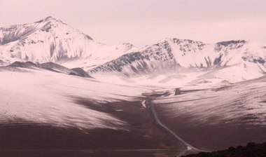
Nevado_6889
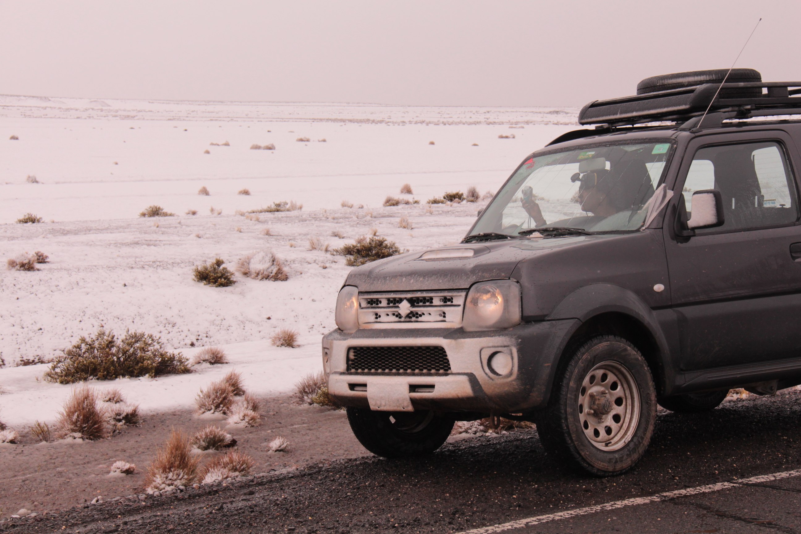
Jimny
Topographic Map of 34B, Peru
Find elevation by address:

Places near 34B, Peru:
Pasto Grande
34B, Peru
Mina Santa Rosa
El Collao Province
Chucuito Province
Puerta De Hayu Marca (the Gate Of The Gods)
Qhantati Ururi
Plaza De Armas
Conde De Lemos
Urb Barrio Central
Puno
Puno
Lambayeque 140
Titilaka
Sonesta Hotel Posadas Del Inca Puno
Uros Islands
Uros Floating Islands
Uros
Tacasayonipampa
Uros Khantati Island
Recent Searches:
- Elevation of Corso Fratelli Cairoli, 35, Macerata MC, Italy
- Elevation of Tallevast Rd, Sarasota, FL, USA
- Elevation of 4th St E, Sonoma, CA, USA
- Elevation of Black Hollow Rd, Pennsdale, PA, USA
- Elevation of Oakland Ave, Williamsport, PA, USA
- Elevation of Pedrógão Grande, Portugal
- Elevation of Klee Dr, Martinsburg, WV, USA
- Elevation of Via Roma, Pieranica CR, Italy
- Elevation of Tavkvetili Mountain, Georgia
- Elevation of Hartfords Bluff Cir, Mt Pleasant, SC, USA