Elevation of 15 Sunrise Ln, Cascade, MT, USA
Location: United States > Montana > Cascade County > Cascade >
Longitude: -111.7013541
Latitude: 47.2806152
Elevation: 1037m / 3402feet
Barometric Pressure: 0KPa
Related Photos:
IMG_2276 (2)
IMG_2303 (2)
IMG_2254 (2)
Ulidia, Montana
Montana 2012-104

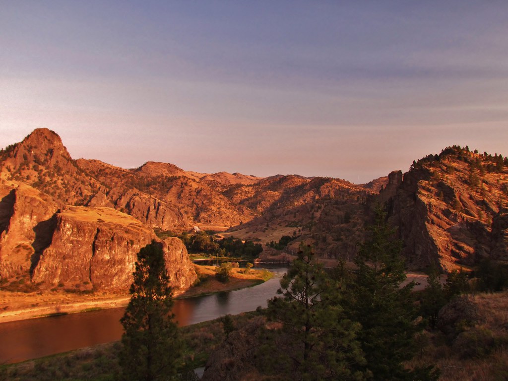
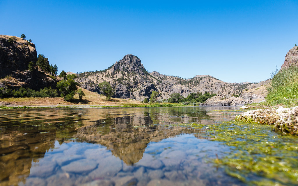
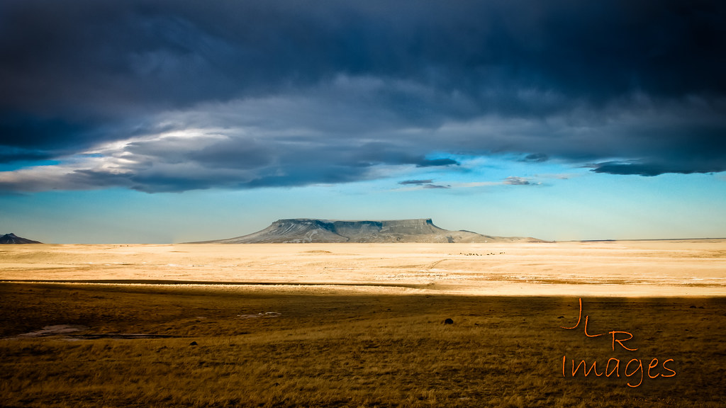
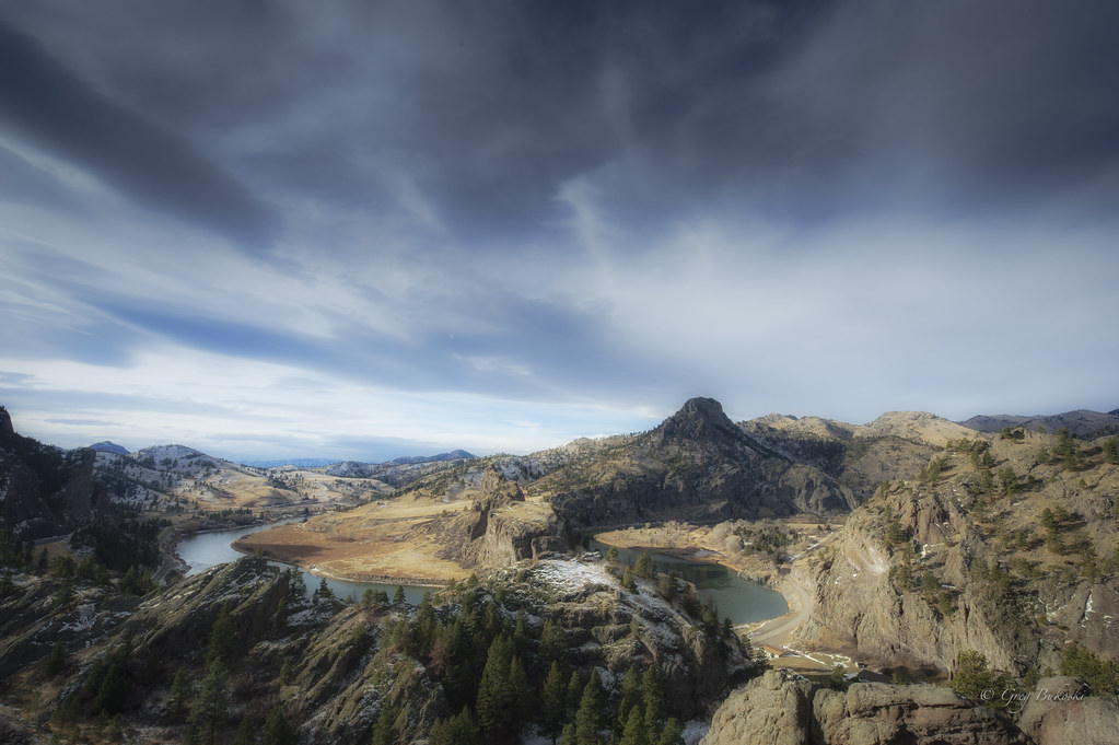
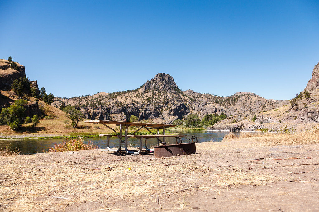
Missouri River Overlook
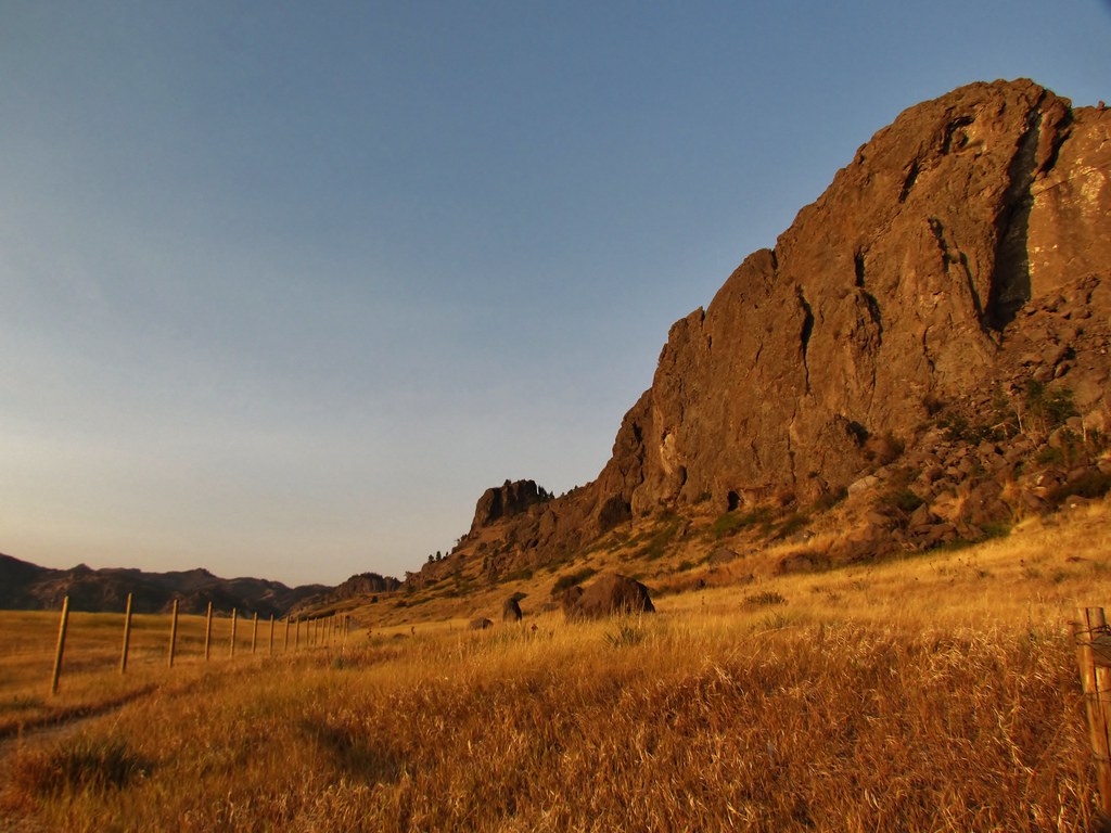
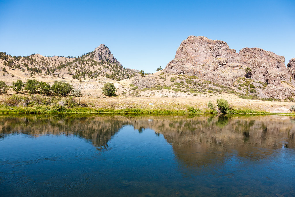
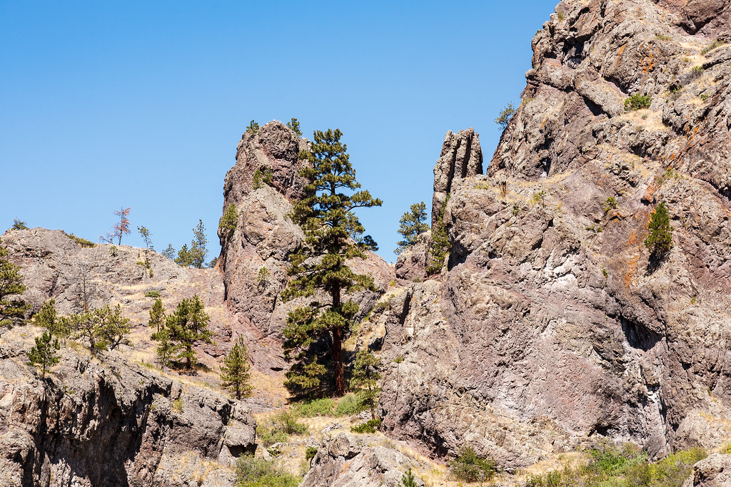
Pretty mountains
Montana 2012-111
Montana 2012-110
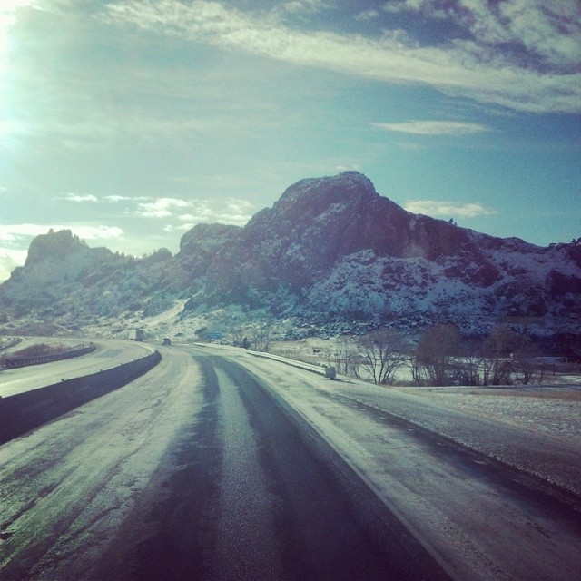
Helena Turn
Montana 2012-109
Montana 2012-103
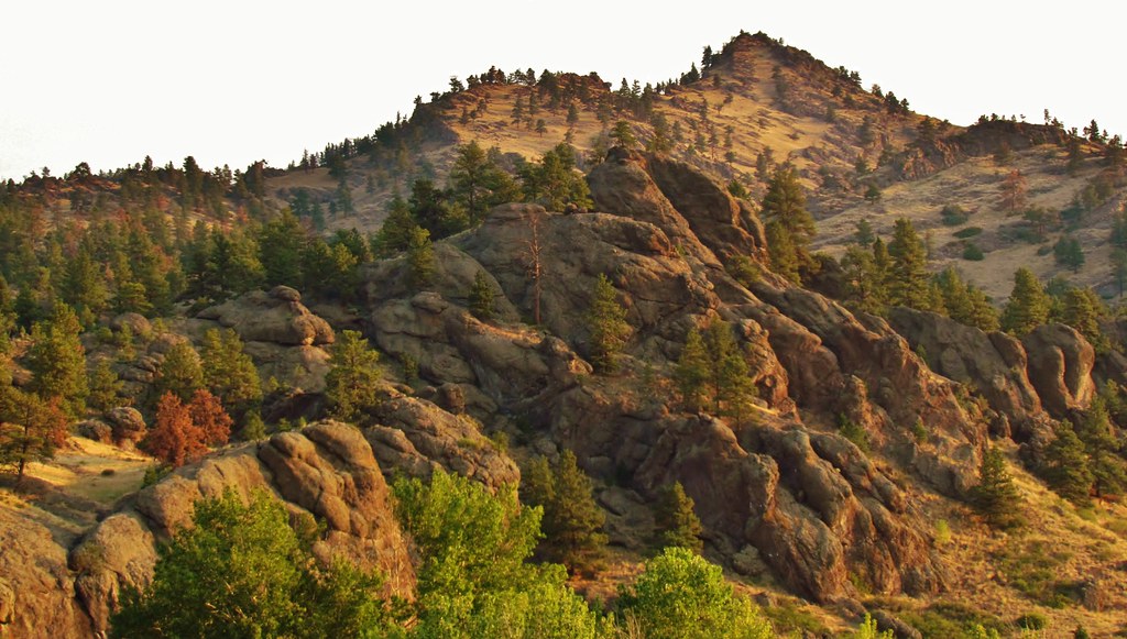
Northern Montana mountains
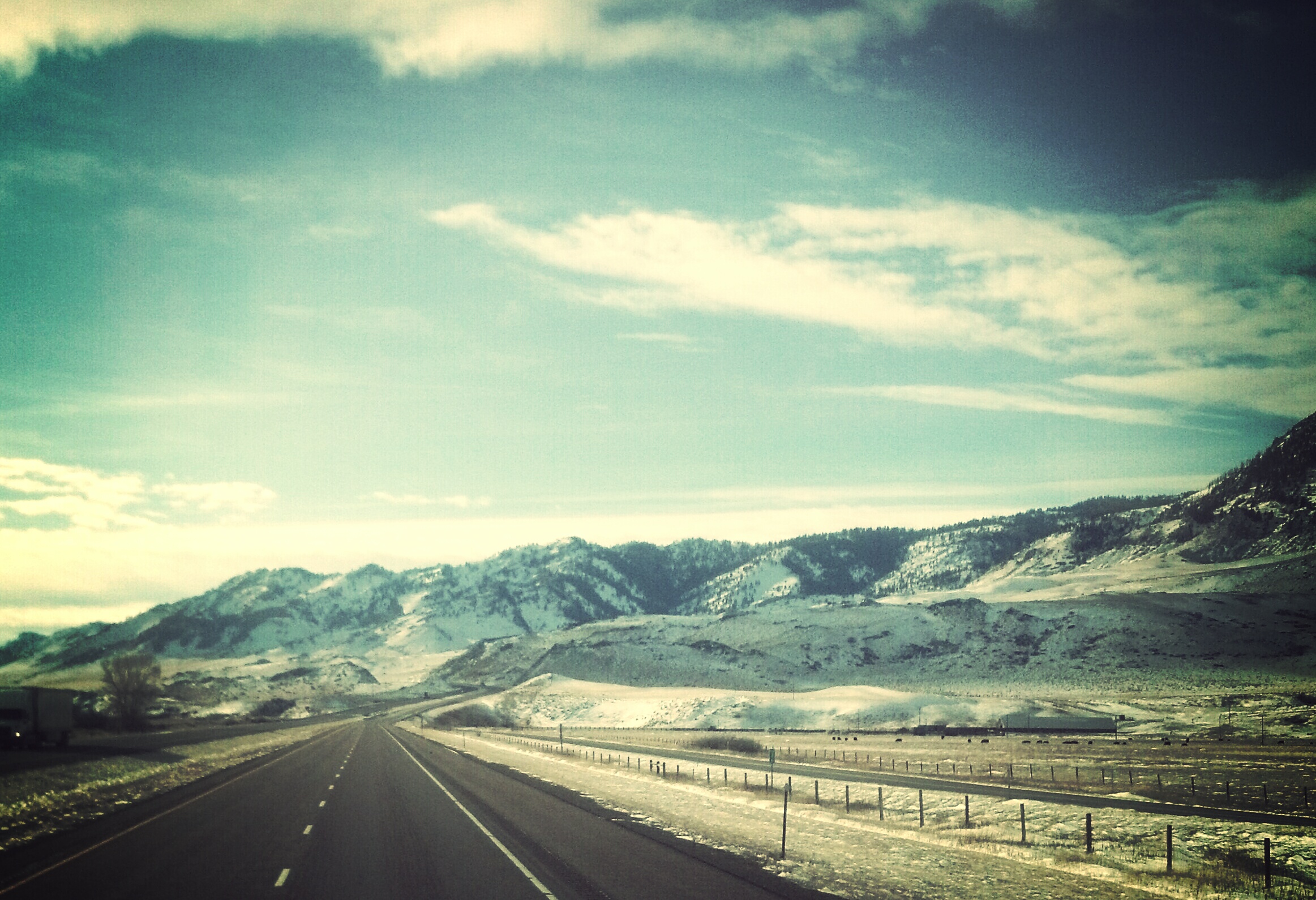
Out of the Plains

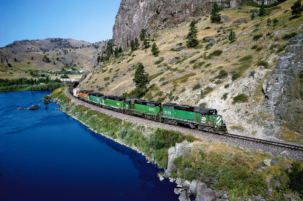
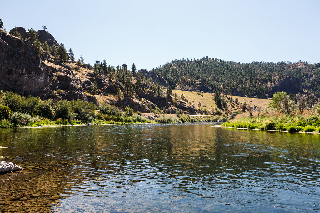
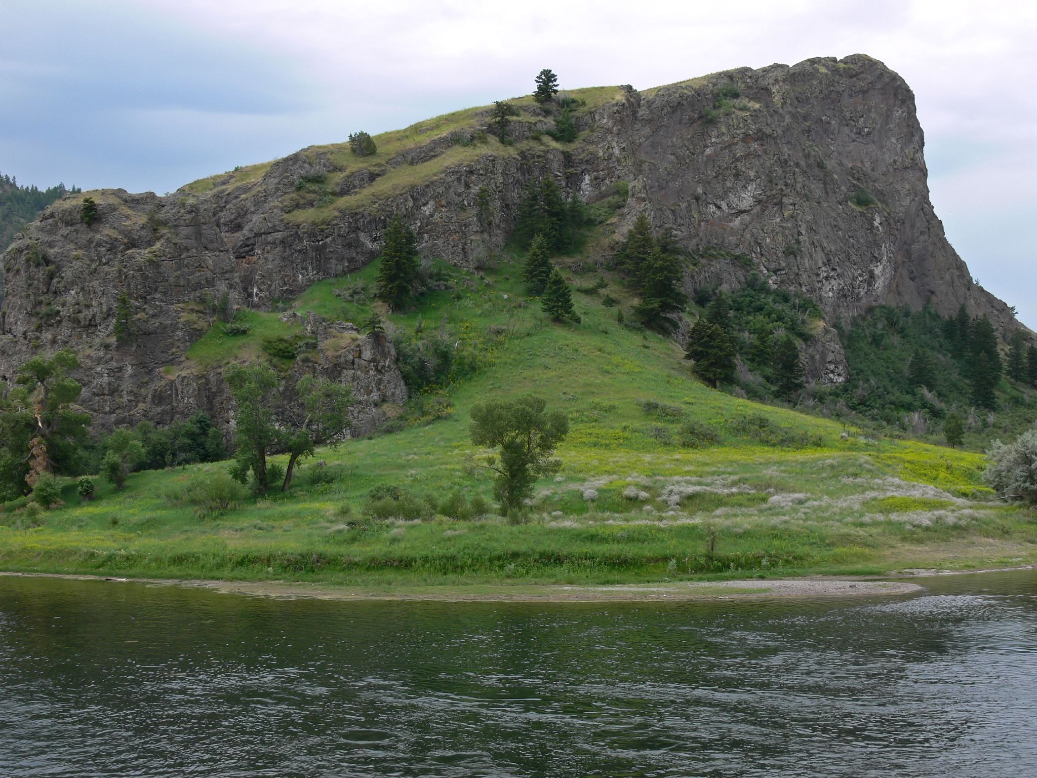
Missouri River
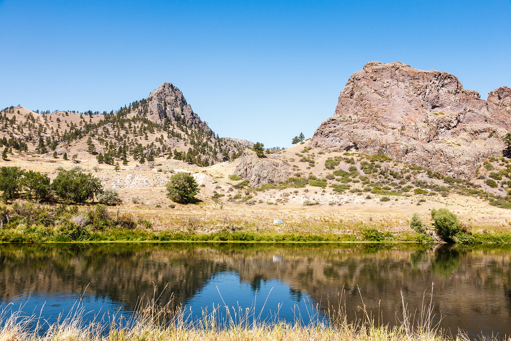
Montana--2
Montana 2012-107
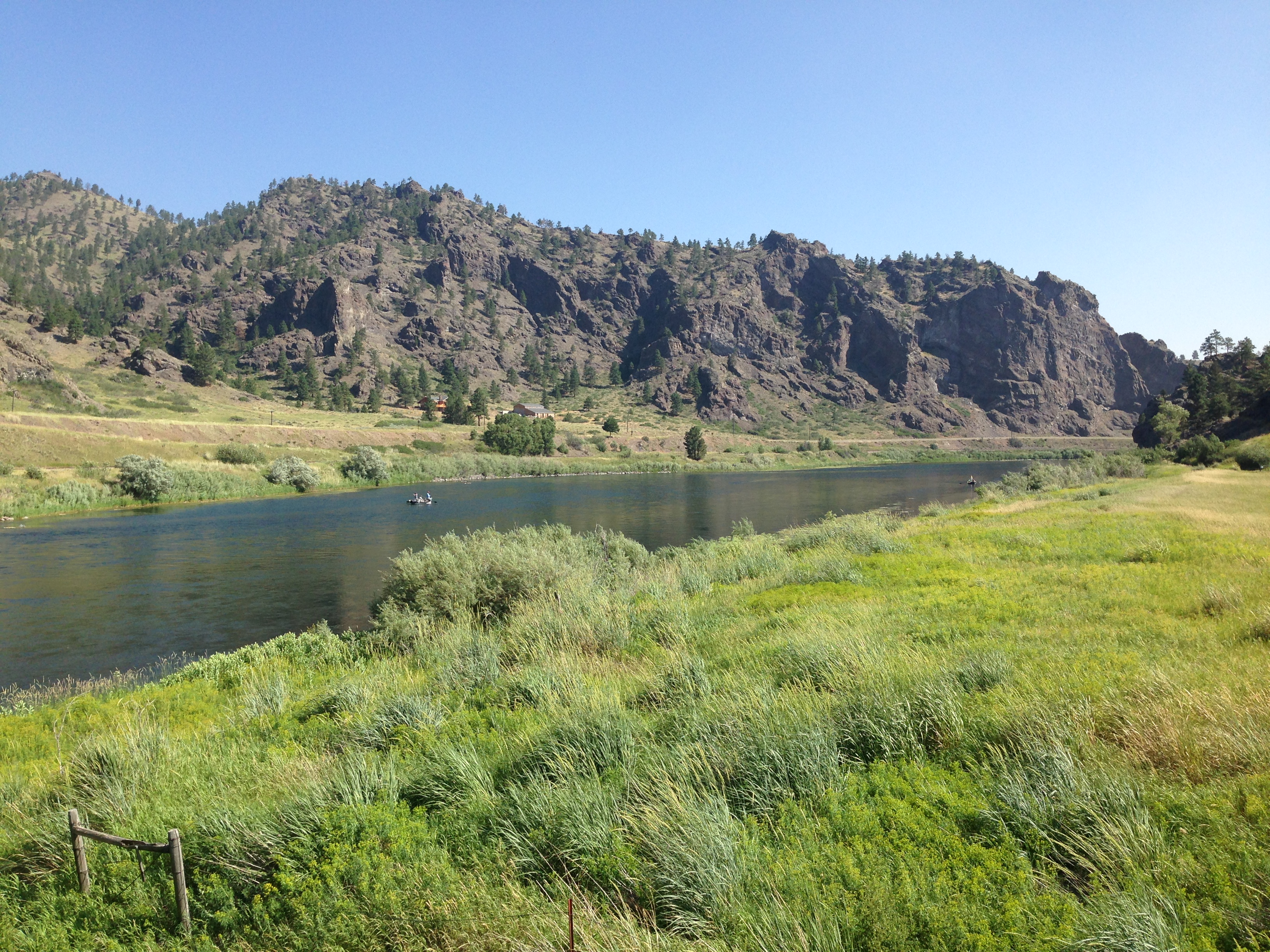
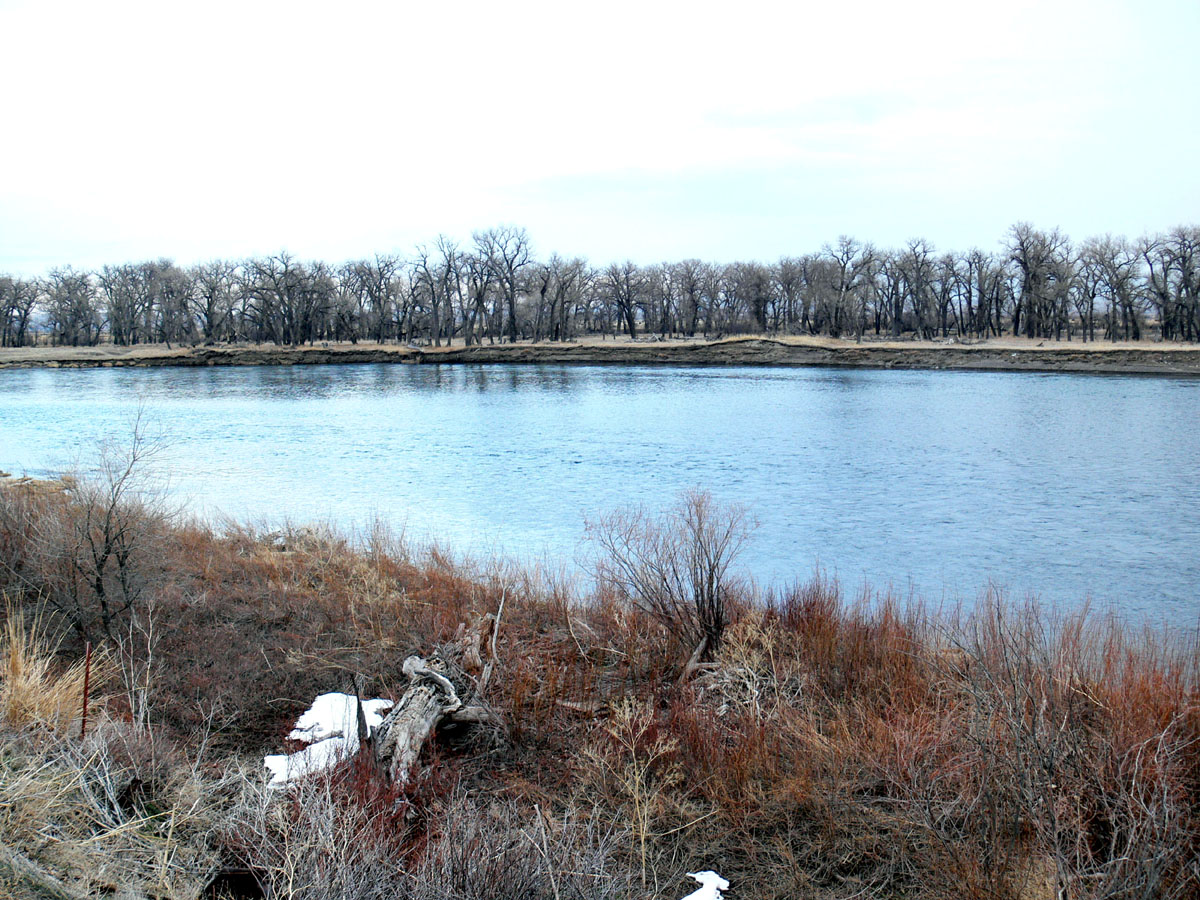
Missouri River
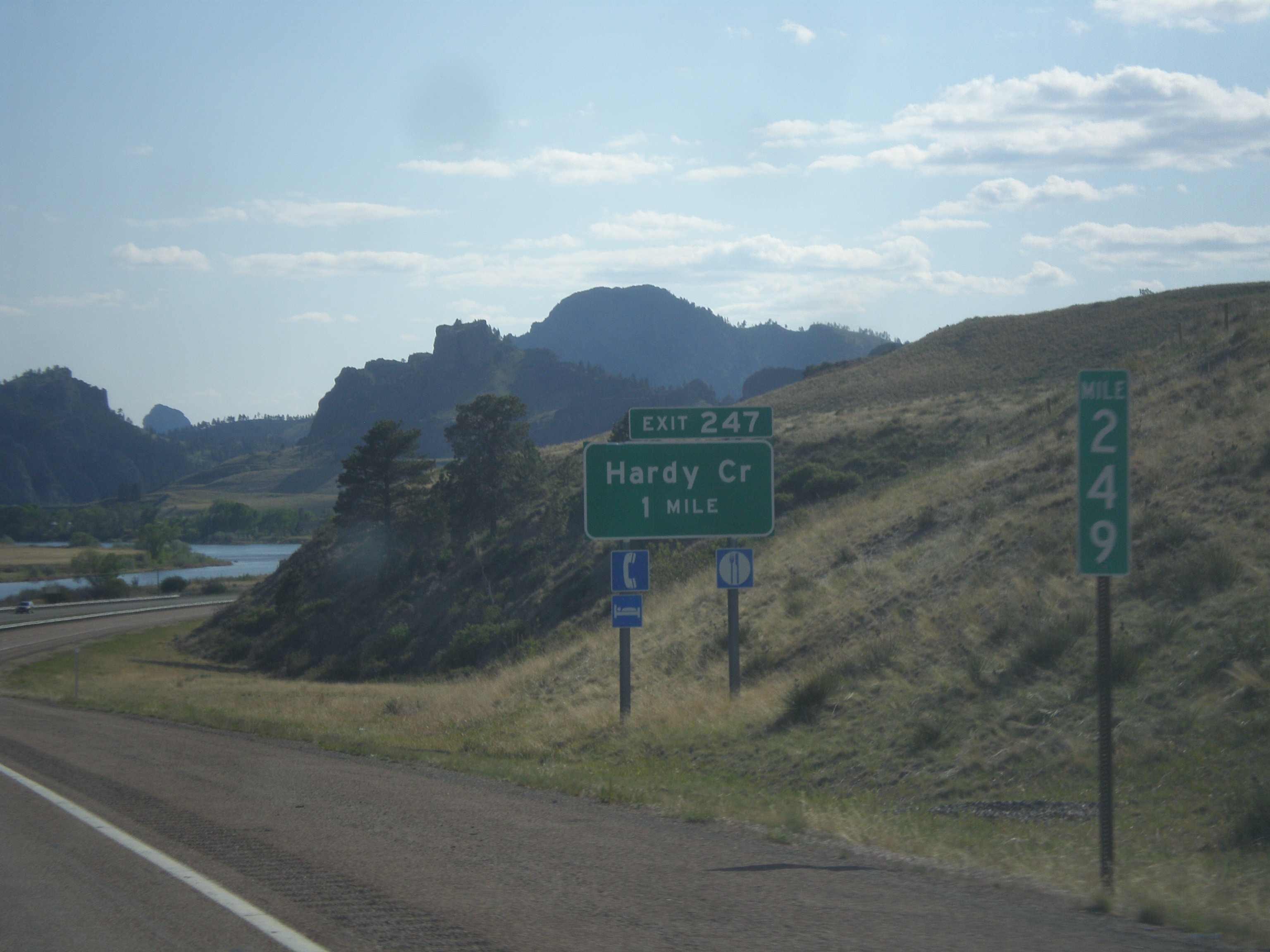
I-15 South - Exit 247
IMG_3098.jpg
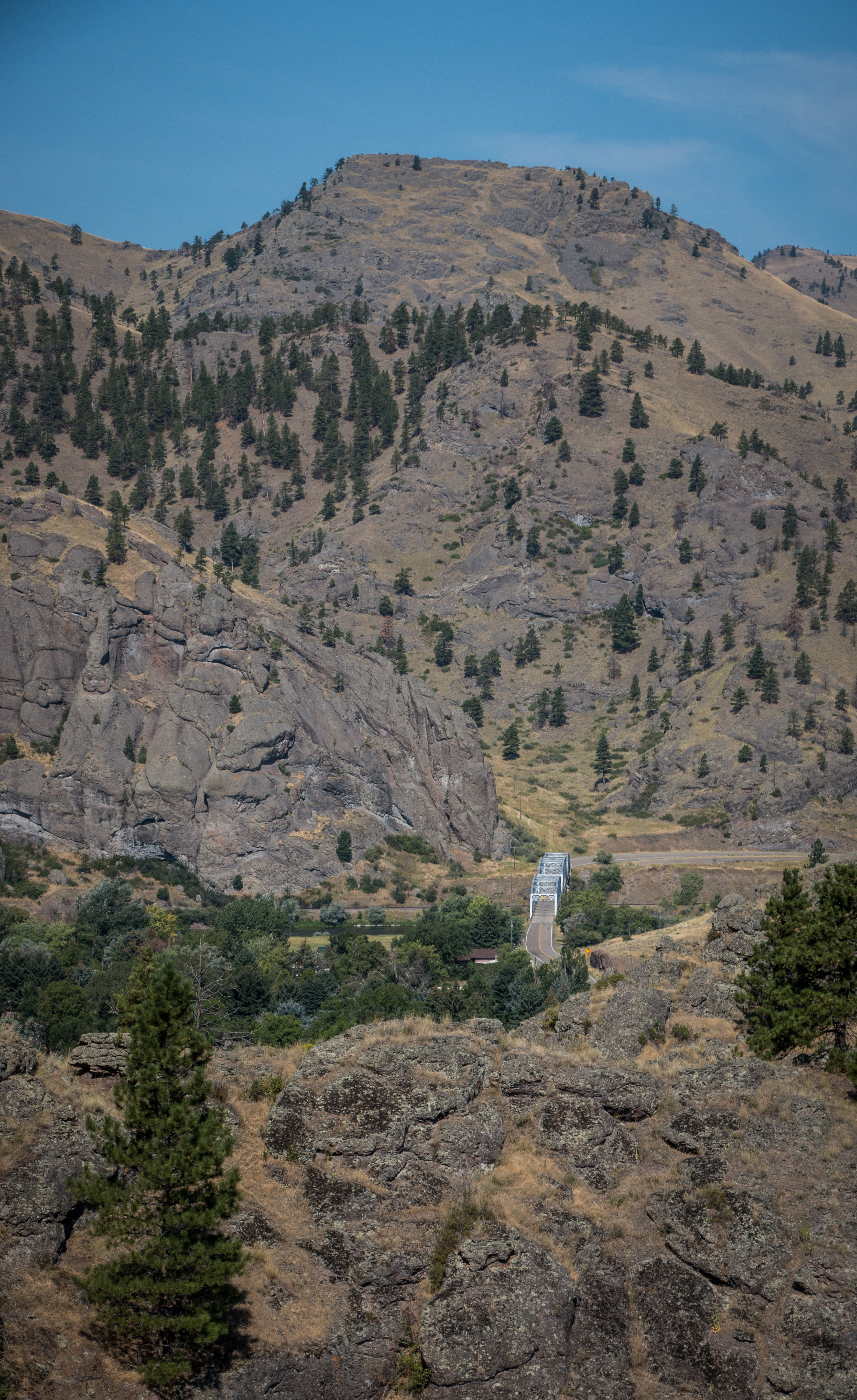
Missouri River near Hardy Creek
Topographic Map of 15 Sunrise Ln, Cascade, MT, USA
Find elevation by address:

Places near 15 Sunrise Ln, Cascade, MT, USA:
Cascade
77 Tower Rock Rd, Cascade, MT, USA
Cecilia Lane
2747 Old U.s.91
2747 Old U.s.91
250 Luebbe Rd
1209 Wiegand Park Rd
145 Big Pine Ln
145 Big Pine Ln
145 Big Pine Ln
282 10 Mile Rd
Cascade County
16 Russel Lateral
150 Pine Coulee Ln
Fort Shaw
Sun River
110 N Fort Shaw Rd
Milligan Rd, Cascade, MT, USA
192 Dracut Hill Rd
Vaughn
Recent Searches:
- Elevation of Dharamkot Tahsil, Punjab, India
- Elevation of Bhinder Khurd, Dharamkot Tahsil, Punjab, India
- Elevation of 2881, Chabot Drive, San Bruno, San Mateo County, California, 94066, USA
- Elevation of 10370, West 107th Circle, Westminster, Jefferson County, Colorado, 80021, USA
- Elevation of 611, Roman Road, Old Ford, Bow, London, England, E3 2RW, United Kingdom
- Elevation of 116, Beartown Road, Underhill, Chittenden County, Vermont, 05489, USA
- Elevation of Window Rock, Colfax County, New Mexico, 87714, USA
- Elevation of 4807, Rosecroft Street, Kempsville Gardens, Virginia Beach, Virginia, 23464, USA
- Elevation map of Matawinie, Quebec, Canada
- Elevation of Sainte-Émélie-de-l'Énergie, Matawinie, Quebec, Canada
- Elevation of Rue du Pont, Sainte-Émélie-de-l'Énergie, Matawinie, Quebec, J0K2K0, Canada
- Elevation of 8, Rue de Bécancour, Blainville, Thérèse-De Blainville, Quebec, J7B1N2, Canada
- Elevation of Wilmot Court North, 163, University Avenue West, Northdale, Waterloo, Region of Waterloo, Ontario, N2L6B6, Canada
- Elevation map of Panamá Province, Panama
- Elevation of Balboa, Panamá Province, Panama
- Elevation of San Miguel, Balboa, Panamá Province, Panama
- Elevation of Isla Gibraleón, San Miguel, Balboa, Panamá Province, Panama
- Elevation of 4655, Krischke Road, Schulenburg, Fayette County, Texas, 78956, USA
- Elevation of Carnegie Avenue, Downtown Cleveland, Cleveland, Cuyahoga County, Ohio, 44115, USA
- Elevation of Walhonding, Coshocton County, Ohio, USA