Elevation of 11th St N, Fargo, ND, USA
Location: United States > North Dakota > Cass County > Fargo > Washington >
Longitude: -96.794776
Latitude: 46.8992406
Elevation: 275m / 902feet
Barometric Pressure: 98KPa
Elevation Map:
Satellite Map:
Related Photos:

Prairie Dog
20130429-NRCS-LSC-0367
20130429-NRCS-LSC-0345
20130429-NRCS-LSC-0349
20130429-NRCS-LSC-0343

Down the Line
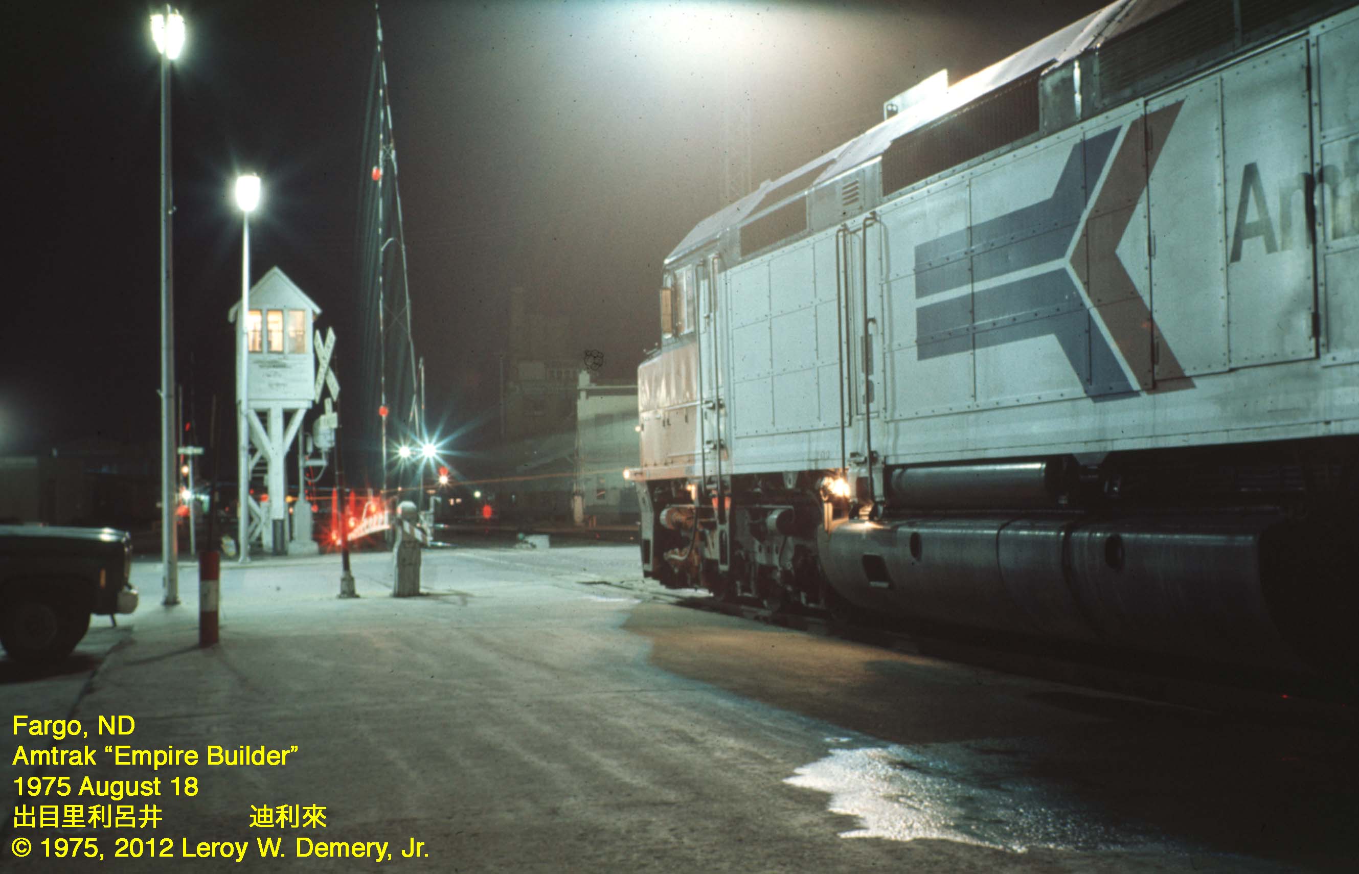
Westbound "Empire Builder" - 2, Fargo, ND, 1975

365-050

365-086
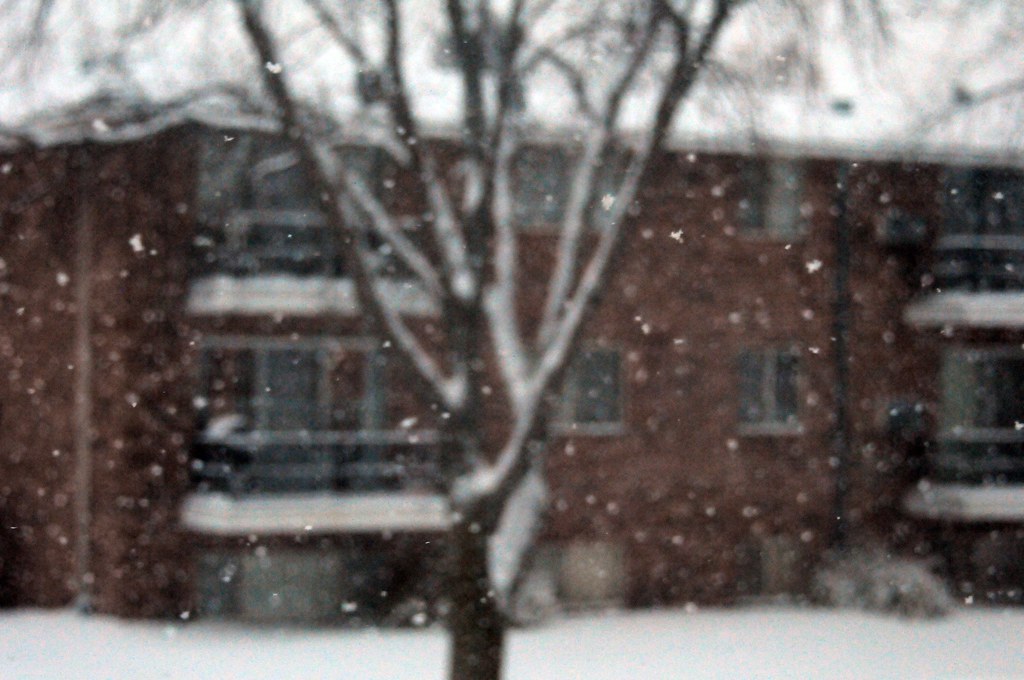
Snow in focus

Heart of the City
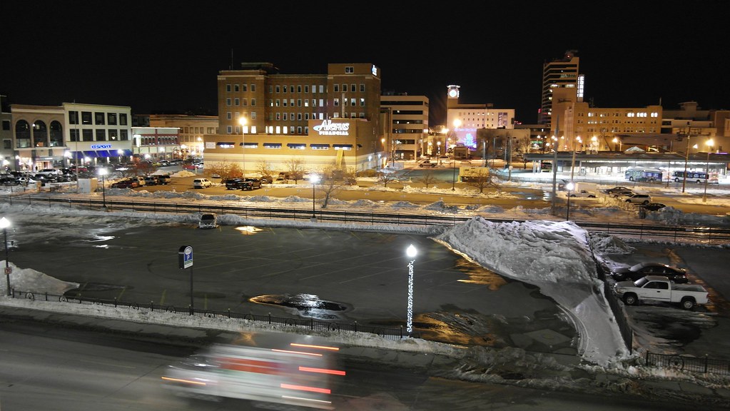
From Above

Southwest View

20130429-NRCS-LSC-0354

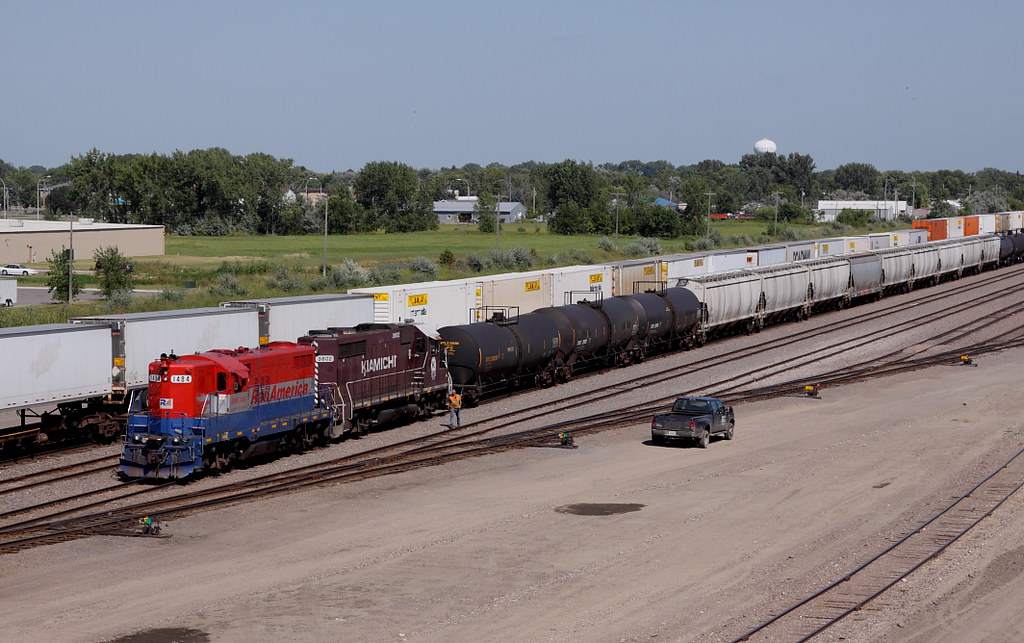
BNSF 2735 backing into Dilworth Yard

P-51 Mustang at the Air Museum
Last Shot of the OTVR

calm winters day at the library

Island Park gazebo, autumn (Fargo, North Dakota)

Then and now

Climbing tree to get a better view

It's complicated

Down the line
South Fargo, before the storm
The lonliest hydrant

Lindenwood rays
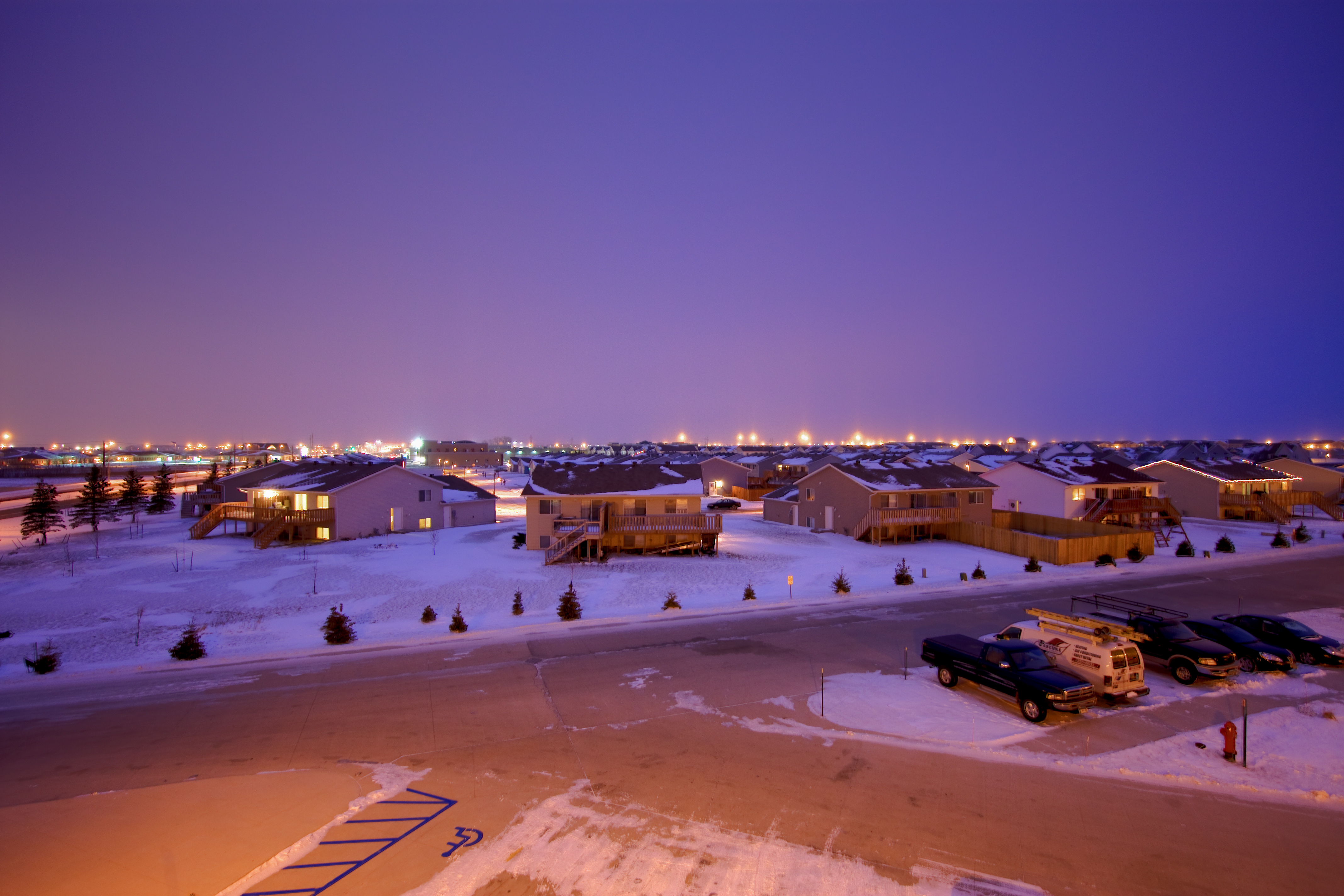
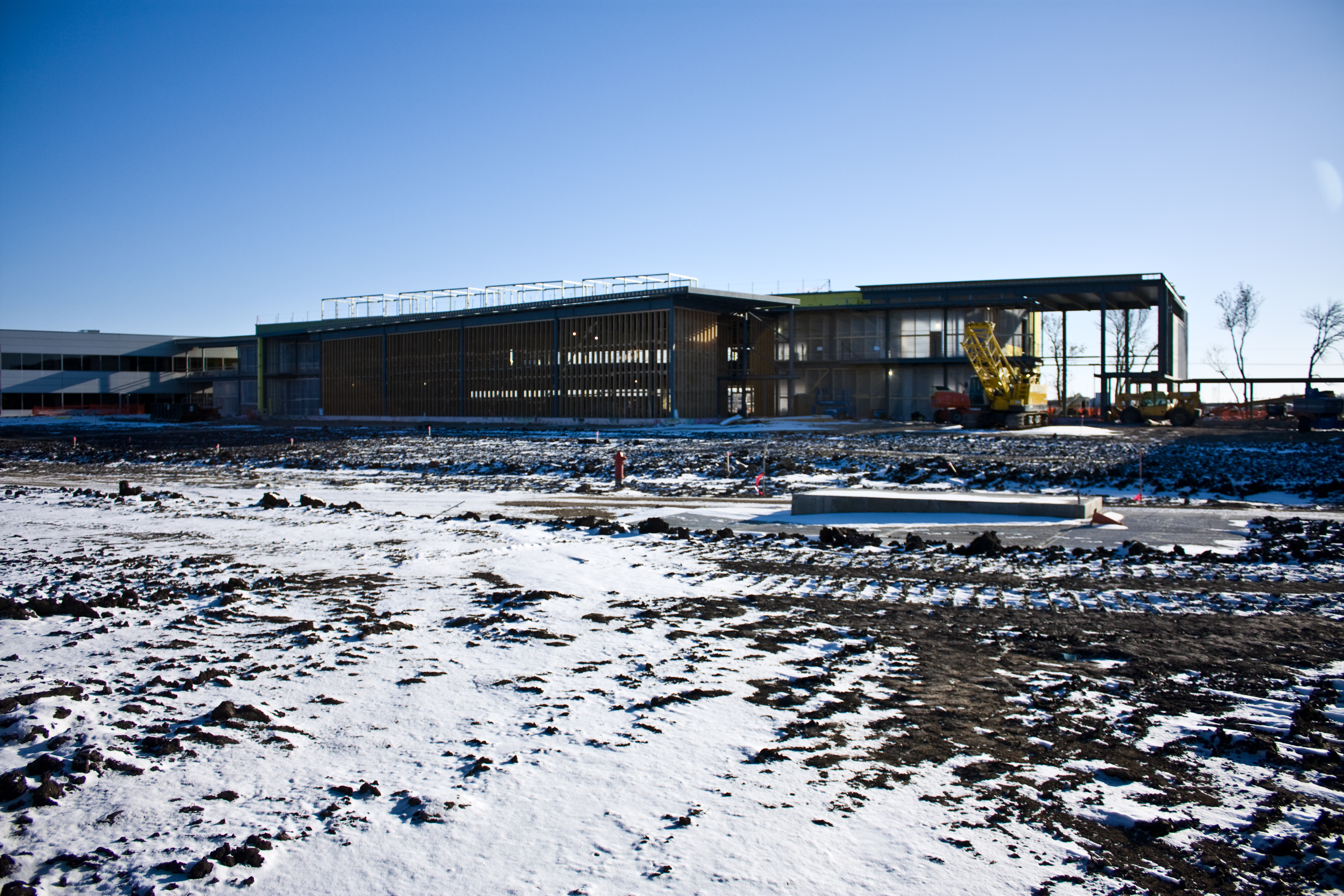
A North Fargo Winter - Taken from the building site of the "new dorm" later titled "Living Learning Center"
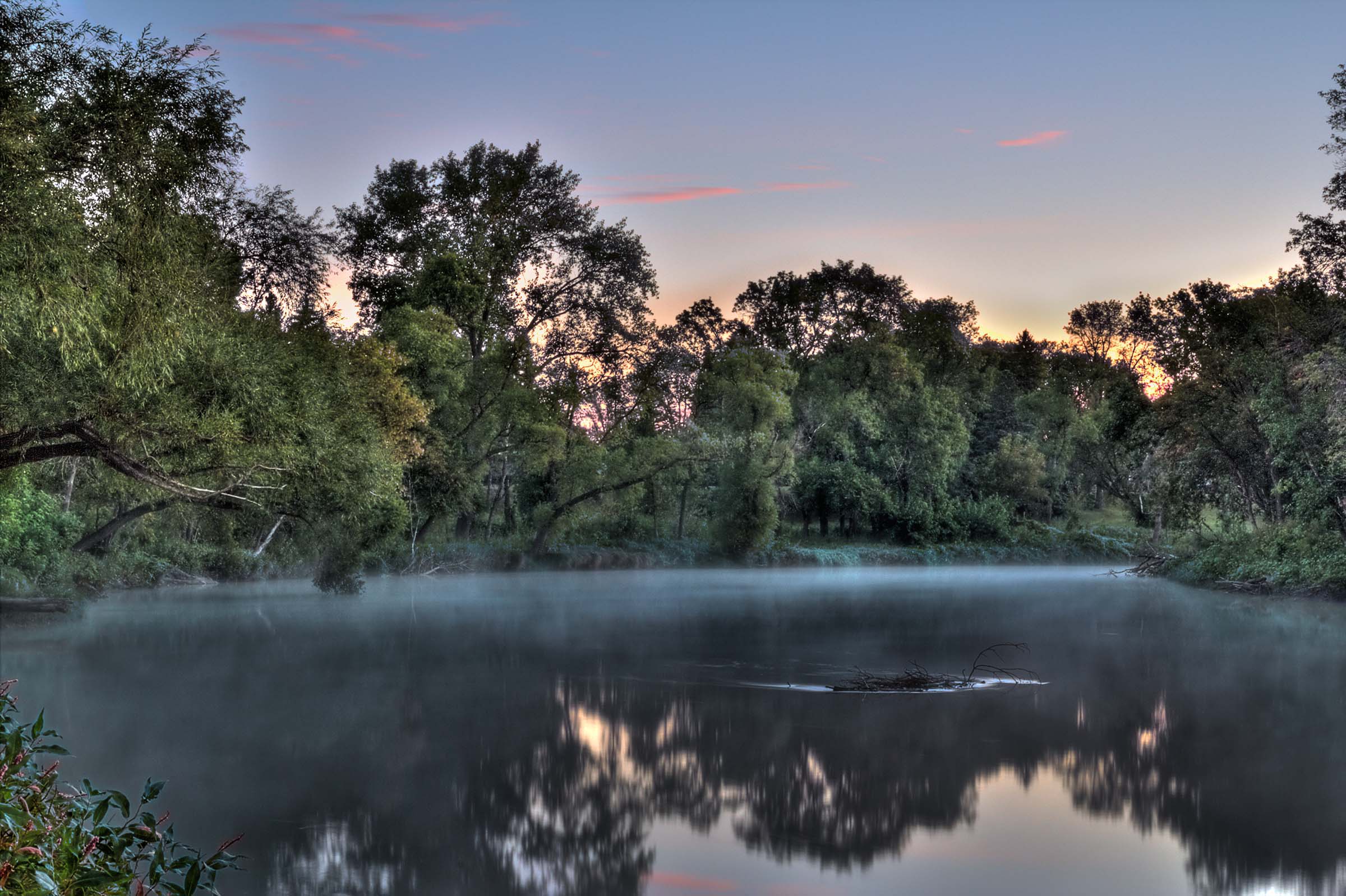
Fog on the Red
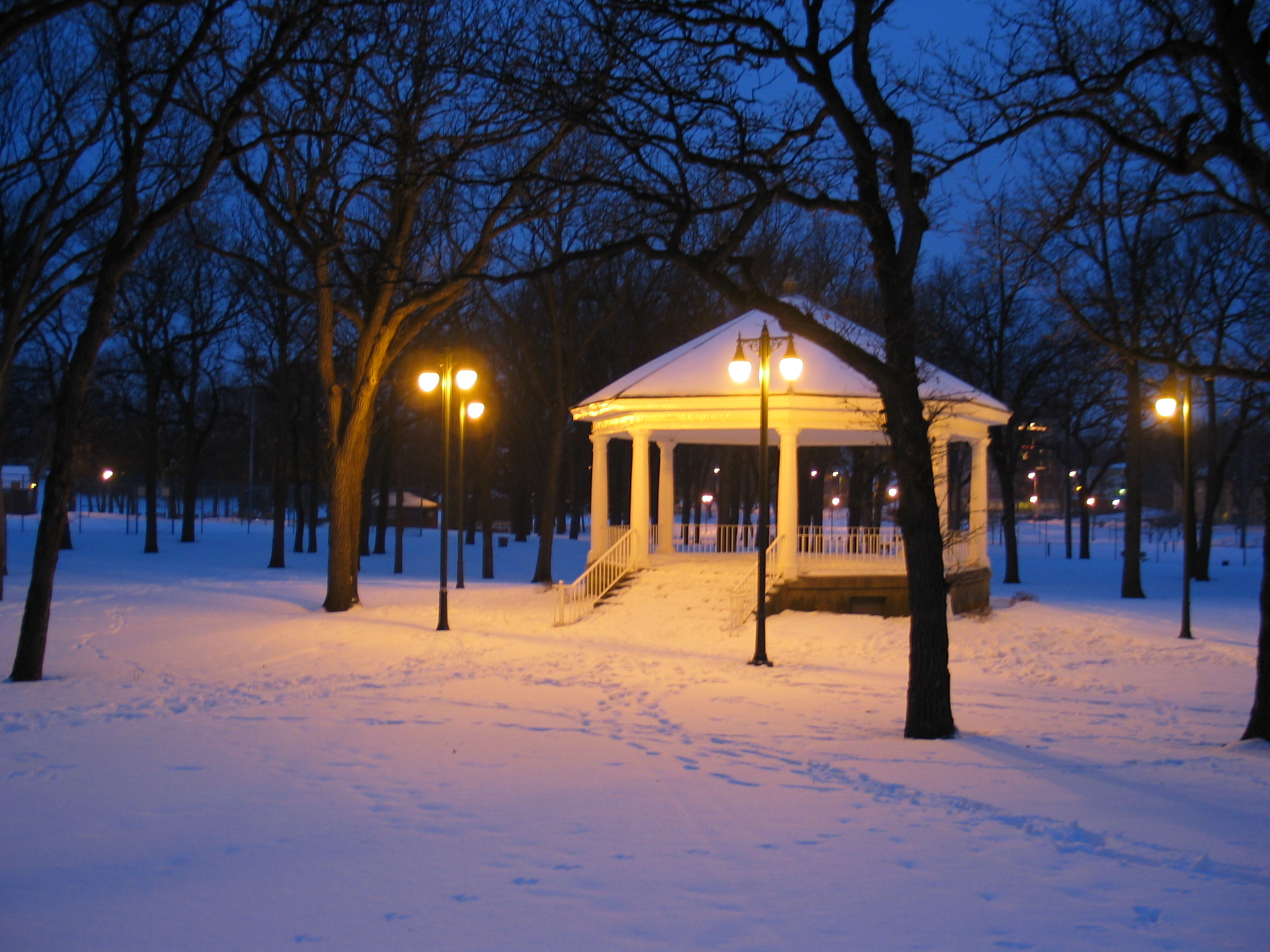
Island Park Gazebo, winter (Fargo, North Dakota)
Memories of A Past Morning
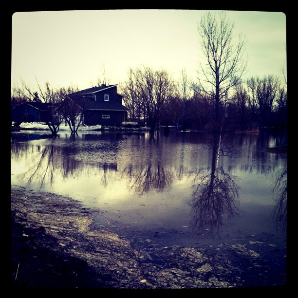
#flooding
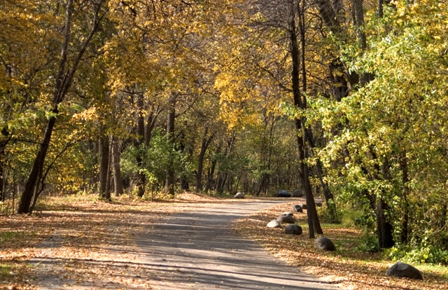
lindenwood park small

Red River at Main Avenue
Red River sunrise

Island Park | P7049494-1-2

Strake Vortices

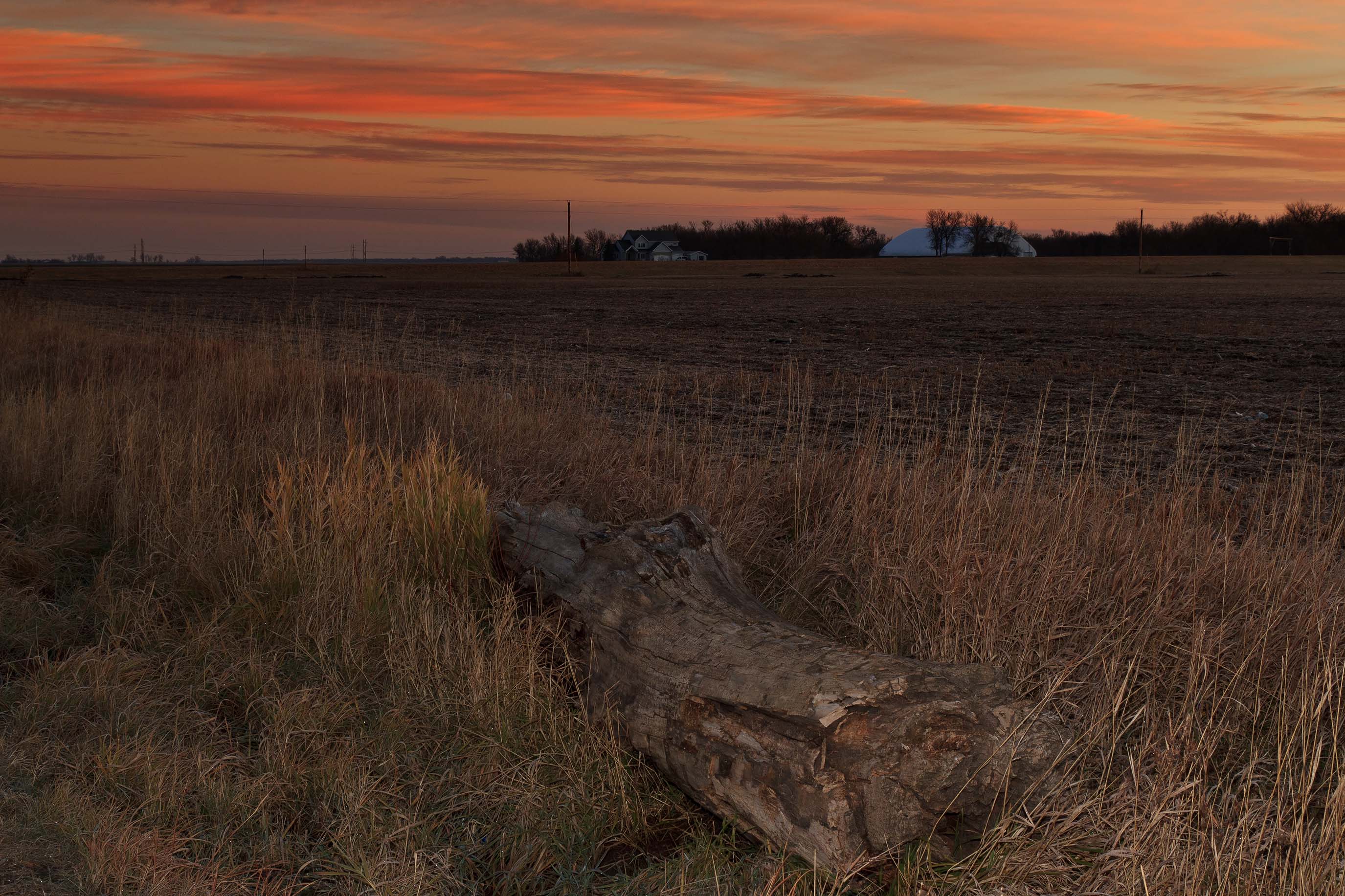
Fargo Countryside
Almost across the bridge

Day 17

Remnants of fall on campus
Topographic Map of 11th St N, Fargo, ND, USA
Find elevation by address:

Places near 11th St N, Fargo, ND, USA:
1141 19th Ave N
North Dakota State University
1340 Administration Ave
Washington
2118 7th St N
401 14th Ave N
1522 3rd St N
Ndsu
210 21st Ave N
1801 23rd Ave N
1801 23rd Ave N
53 17th Ave N
Downtown
1326 3rd Ave N
Fargo
1220 Monte Carlo Dr
625-641
Trollwood
3202 Elm St N
Longfellow
Recent Searches:
- Elevation of Corso Fratelli Cairoli, 35, Macerata MC, Italy
- Elevation of Tallevast Rd, Sarasota, FL, USA
- Elevation of 4th St E, Sonoma, CA, USA
- Elevation of Black Hollow Rd, Pennsdale, PA, USA
- Elevation of Oakland Ave, Williamsport, PA, USA
- Elevation of Pedrógão Grande, Portugal
- Elevation of Klee Dr, Martinsburg, WV, USA
- Elevation of Via Roma, Pieranica CR, Italy
- Elevation of Tavkvetili Mountain, Georgia
- Elevation of Hartfords Bluff Cir, Mt Pleasant, SC, USA