Elevation of Fargo, ND, USA
Location: United States > North Dakota > Cass County >

Longitude: -96.789803

Latitude: 46.8771863

Elevation: 275m / 902feet

Barometric Pressure: 98KPa

Elevation Map:

elevation map of Fargo, ND, USA

Satellite Map:

Satellite map of Fargo, ND, USA
Related Photos:

animals king steven animalplanet musictomyeyes aclass peopleschoice naturelovers animalphotography naturebeauty digitalcameraclub specanimal golddragon animalkingdomelite anawesomeshot naturewatching beautifulcaptures elitephotography naturespotofgold aroundanimals dragondaggerphoto beautifulimagetopaward rodentsanimalfun newenvyoffilkr
Prairie Dog
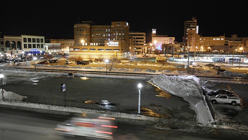
city cars night buildings lights main north broadway fargo arialview fargonorthdakota fargodowntown oldfargotown exs1855ib samsung1855mmf3556oisiilense samsungexs1855iblense
From Above
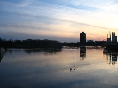
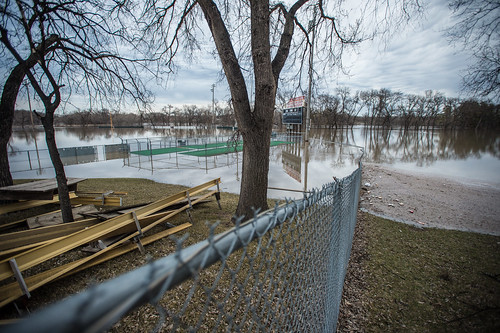
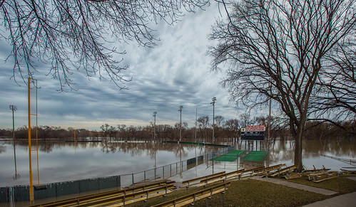
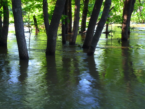
flood redriver fargo
Southwest View
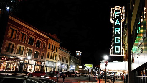
city cars night buildings lights main broadway fargo arialview fargonorthdakota fargodowntown oldfargotown
Heart of the City
snowflake winter snow focus bokeh northdakota depth fargo
Snow in focus
Last Shot of the OTVR
calm winters day at the library
family house home parkinglot progress northdakota fargo growingup thewaywewere
Then and now
microsoft northdakota fargo plainsbowl
Down the Line
Village Green sunset.
lake beach water minnesota river for flooding flat farm wildlife conservation basin sd nd wetlands land need migratory states prairie plains habitat hilly department challenges agricultural ridges resources valleys provide glacial usda floodwater “united floodplain “red retention farm” “south nrcs river” “flat service” “north “water dakota” “natural initiative” flow” basin” agriculture”
20130429-NRCS-LSC-0367
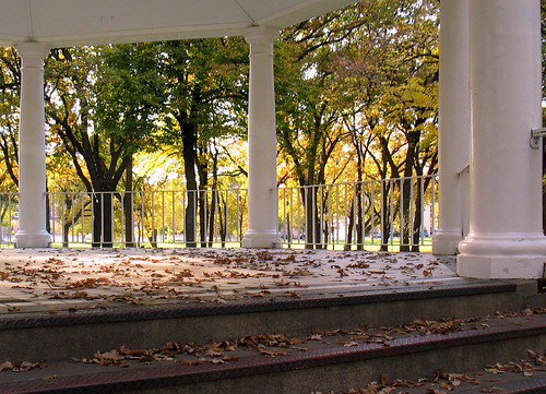
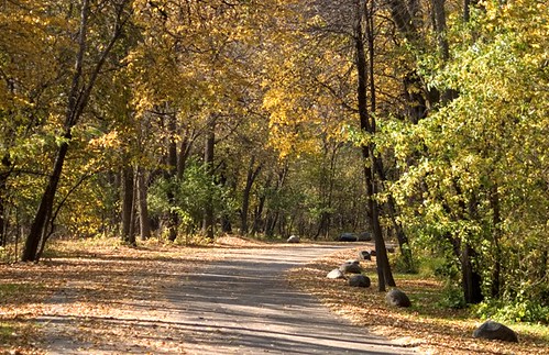
autumn trees color leaves temple fallcolors gazebo northdakota pillars fargo vivaldi islandpark changingseasons zip58103
Island Park gazebo, autumn (Fargo, North Dakota)
square squareformat clarendon iphoneography instagramapp uploaded:by=instagram
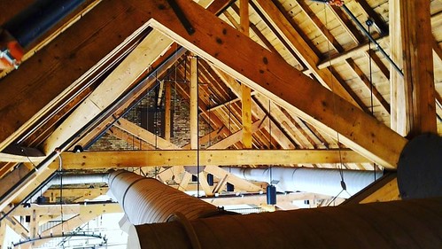
A unique view of the equipment ridiculously cool @sanctuaryevents ceiling. Taken while running cable for @livewire_now. #ilovefargo #northofnormal #ndlegendary
“red river basin” river” minnesota “north dakota” nd “south sd prairie wetlands flooding water retention land wildlife habitat flat “flat farm” glacial lake plains valleys hilly beach ridges provide conservation challenges need for basin initiative” migratory “united states department agriculture” usda “natural resources service” nrcs agricultural farm floodwater “water flow” floodplain
20130429-NRCS-LSC-0343
lake beach water minnesota river for flooding flat farm wildlife conservation basin sd nd wetlands land need migratory states prairie plains habitat hilly department challenges agricultural ridges resources valleys provide glacial usda floodwater “united floodplain “red retention farm” “south nrcs river” “flat service” “north “water dakota” “natural initiative” flow” basin” agriculture”
20130429-NRCS-LSC-0354
lake beach water minnesota river for flooding flat farm wildlife conservation basin sd nd wetlands land need migratory states prairie plains habitat hilly department challenges agricultural ridges resources valleys provide glacial usda floodwater “united floodplain “red retention farm” “south nrcs river” “flat service” “north “water dakota” “natural initiative” flow” basin” agriculture”
20130429-NRCS-LSC-0345
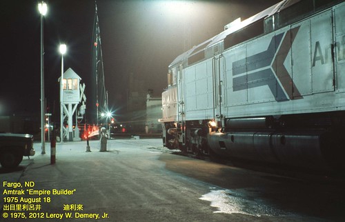
us amtrak passengertrains fargonorthdakota
Westbound "Empire Builder" - 2, Fargo, ND, 1975
portrait selfportrait 365 selfportriat
365-050
portrait orange selfportrait tree 365 selfportriat
365-086
lake beach water minnesota river for flooding flat farm wildlife conservation basin sd nd wetlands land need migratory states prairie plains habitat hilly department challenges agricultural ridges resources valleys provide glacial usda floodwater “united floodplain “red retention farm” “south nrcs river” “flat service” “north “water dakota” “natural initiative” flow” basin” agriculture”
20130429-NRCS-LSC-0349
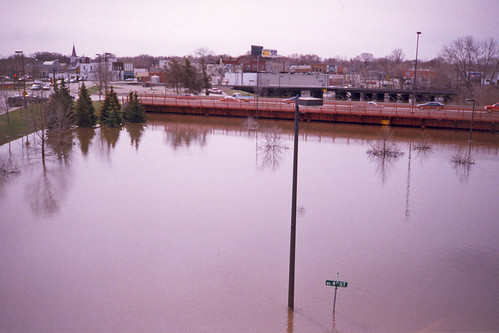
minnesota spring flood scanned april 1997 redriver fargo moorhead redriverofthenorth 97flood 1997flood
Red River Flood, April 1997 (1)
unitedstates northdakota fargo
L1040424.JPG
unitedstates northdakota fargo
L1040422.JPG
trees usa grass leaves fog landscape northdakota rays fargo lindenwoodpark
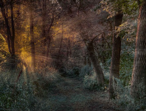
Lindenwood rays
landscape sunsetsandsunrises
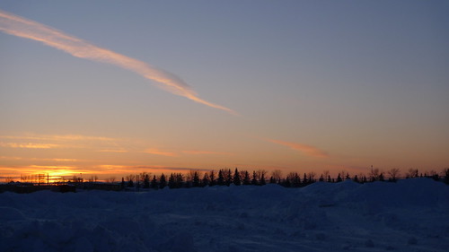
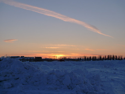
A North Fargo Winter - Taken from the building site of the "new dorm" later titled "Living Learning Center"
It's complicated
pink blue trees red orange usa clouds sunrise landscape purple northdakota fargo
Memories of A Past Morning
northdakota fargo redriverofthenorth
Red River of the North
nikon tokina hdr d300 photomatix 1116mm
Minnesota Clouds HDR
morning usa fog sunrise landscape northdakota fargo lindenwoodpark
Fog on the Red
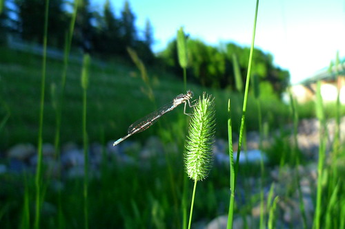
northdakota fargo bluetdamselfy
Damsel on the grass
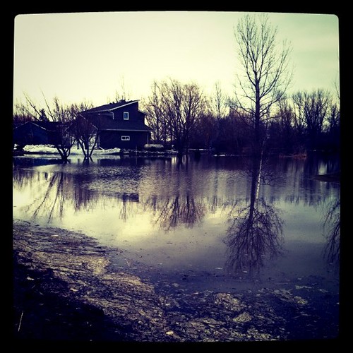
square squareformat iphoneography instagramapp xproii uploaded:by=instagram foursquare:venue=3603444
#flooding
park north dakota fargo lindenwood
lindenwood park small
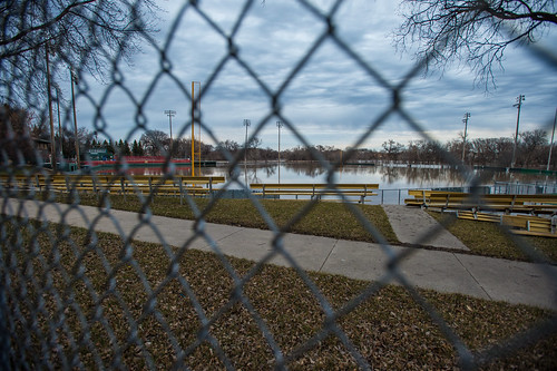
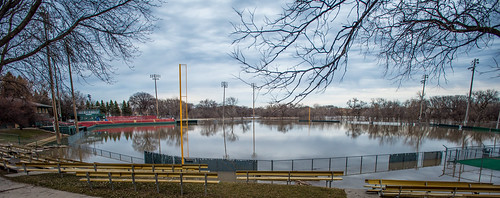
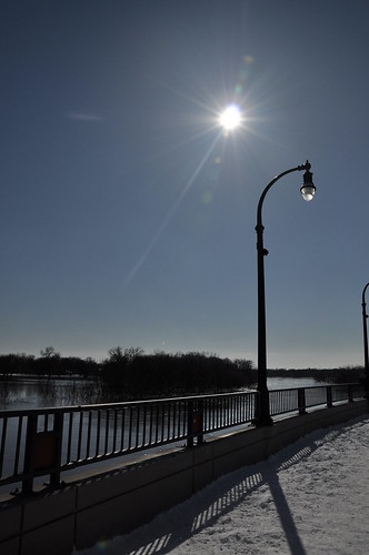
street bridge light water lamp nikon post north redriver dakota fargo mainavenue d90 fargoflood2009 fargoflood09
Red River at Main Avenue
northdakota redriver fargo
Black shades
clouds flying jet aerial northdakota acrobatics condensation f18 blueangels usnavy fargo fighterjet airsho fa18a fa18ahornet strakevortices
Strake Vortices
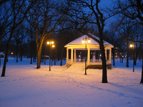
trees winter light snow night twilight quiet dusk parks structures northdakota americana urbandesign weeklysurvivor fargo vivaldi meditative gazebos islandpark culturallandscape oldstructures judgementday54
Island Park Gazebo, winter (Fargo, North Dakota)
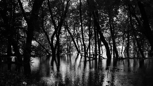
northdakota redriver fargo
Sky in the water
trees branches iphone flickup
2009-05-10 21:00:09 -0500
moorhead
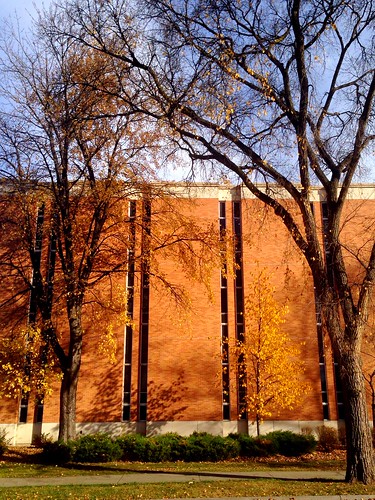
Remnants of fall on campus
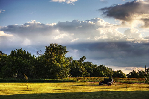
cloud field day cloudy country northdakota fargo
Fargo Countryside