Elevation of Zuber Rd, Springville, AL, USA
Location: United States > Alabama > St. Clair County > Springville >
Longitude: -86.559687
Latitude: 33.75577
Elevation: 291m / 955feet
Barometric Pressure: 98KPa
Elevation Map:
Satellite Map:
Related Photos:
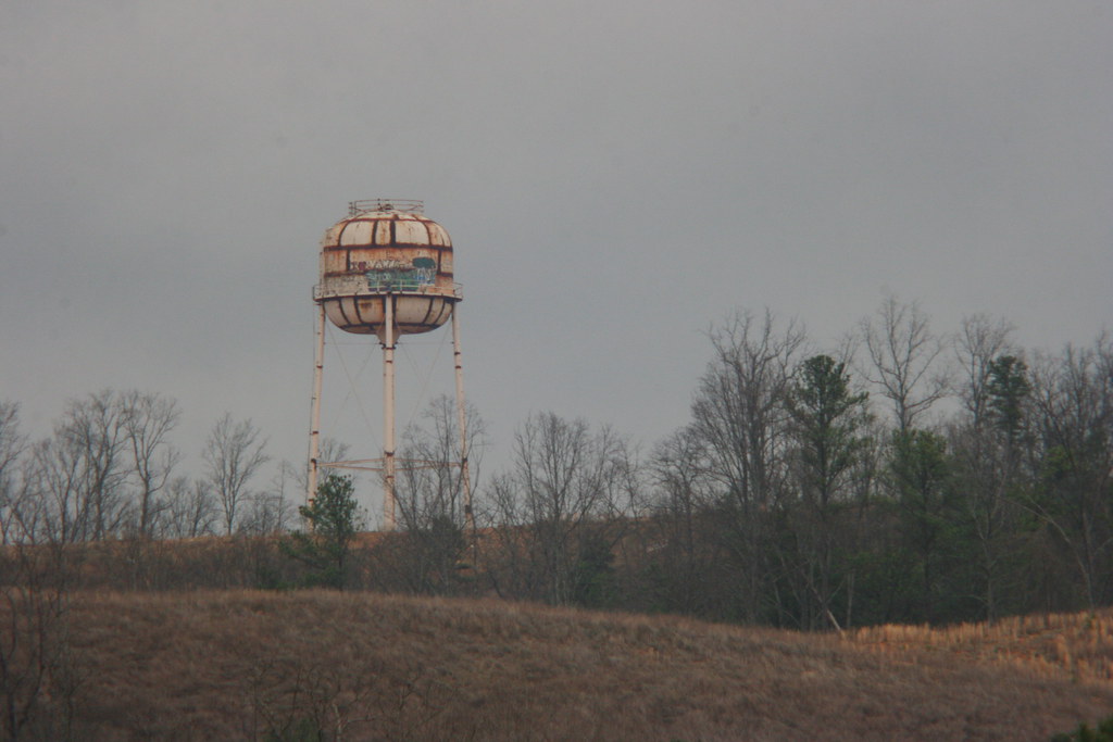
Rusty Water Tower / 2012-0204D0028

Old Camp Cosby Lake / 2012-0204D0041

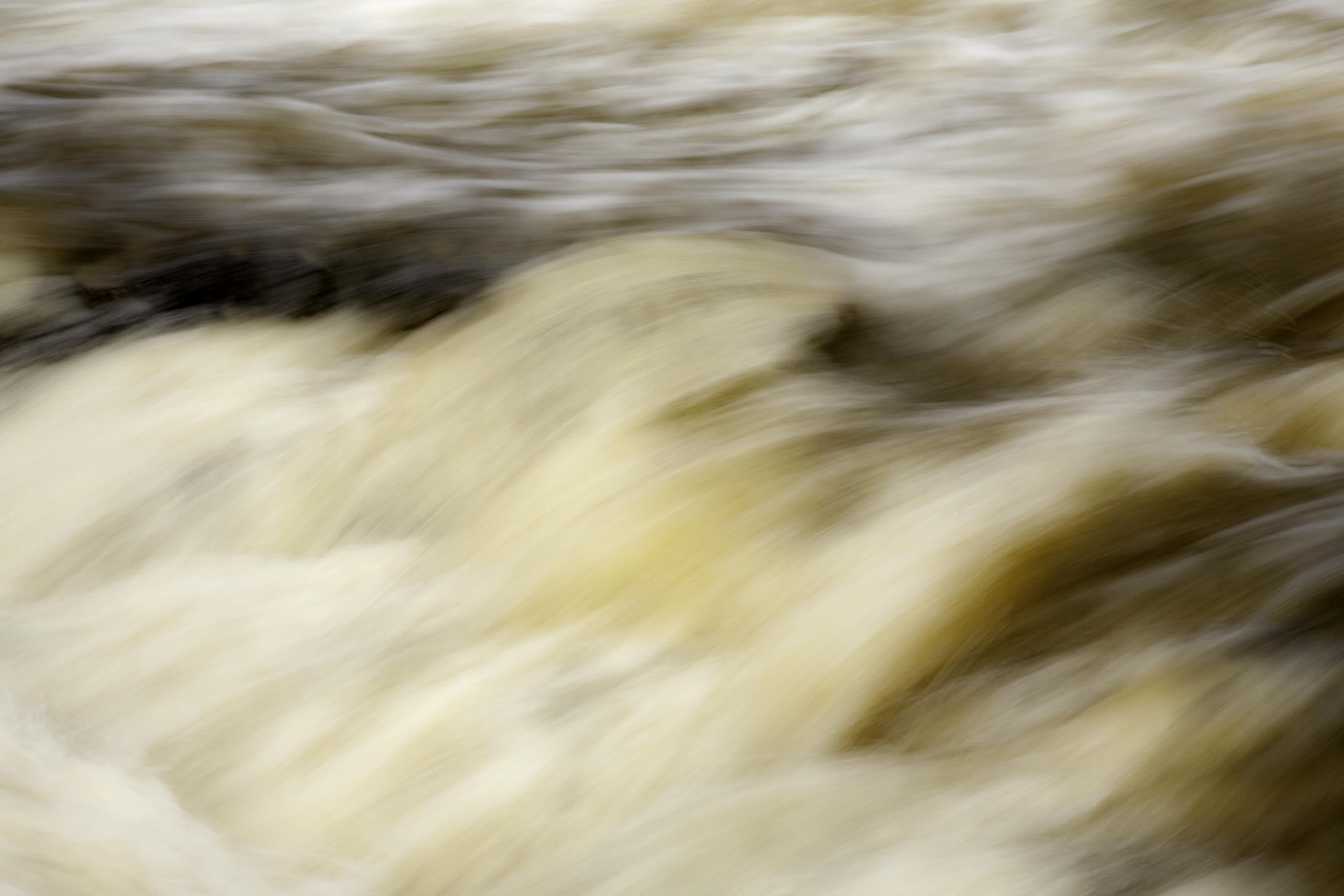
Turkey Creek vignette
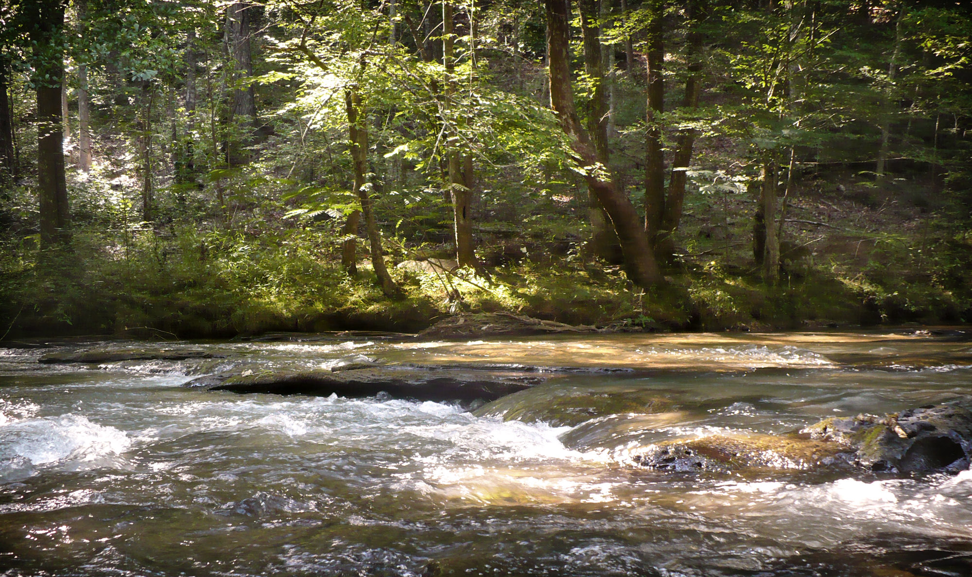
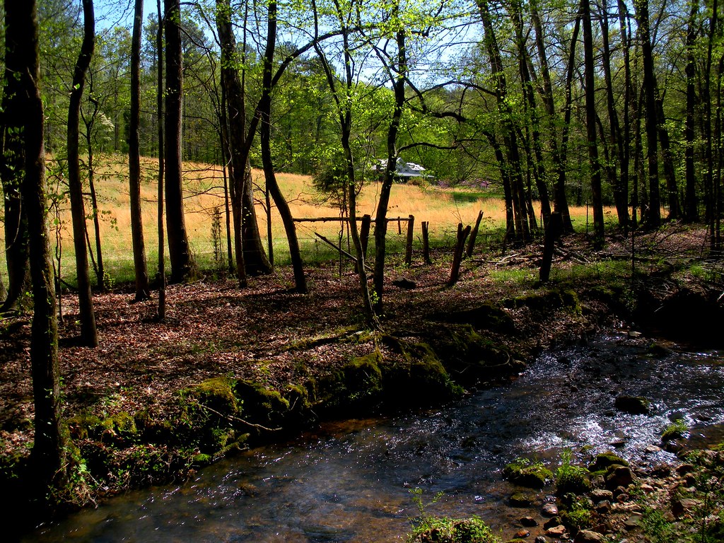
Turkey Creek

Nature destroys what it creates (4/52)
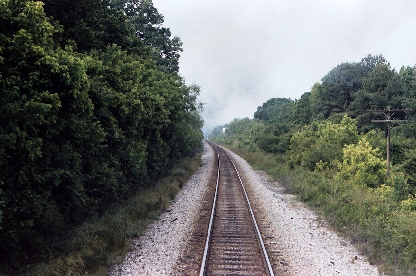
Down The Line / P1983-0605a069-05
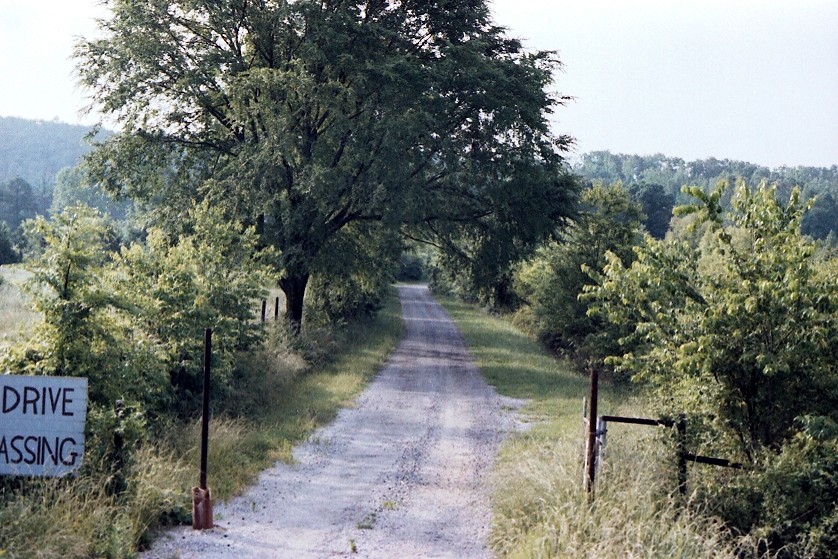
Bethune Estate / P1983-0605a069-10
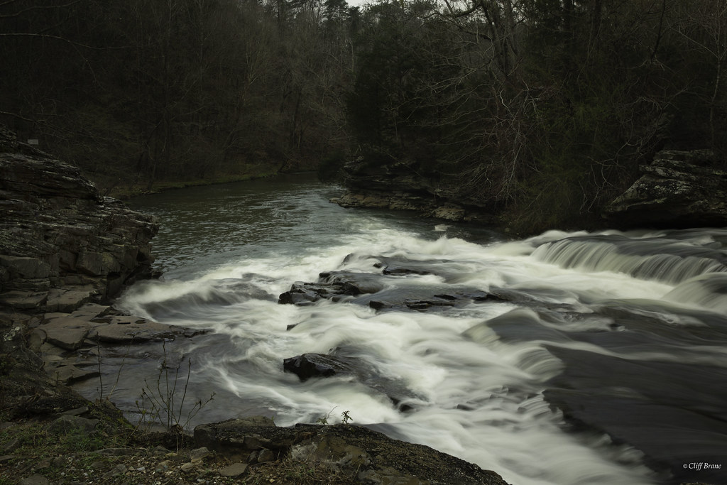
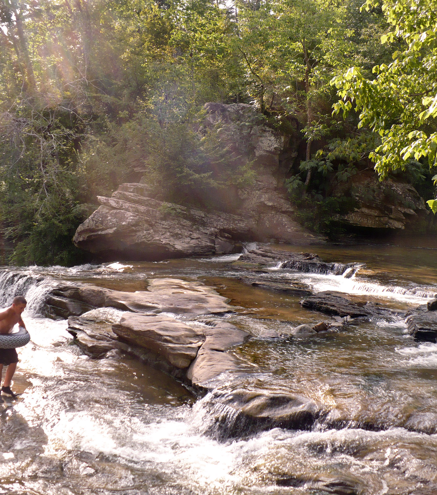
Rocks force the water to turn at Turkey Creek
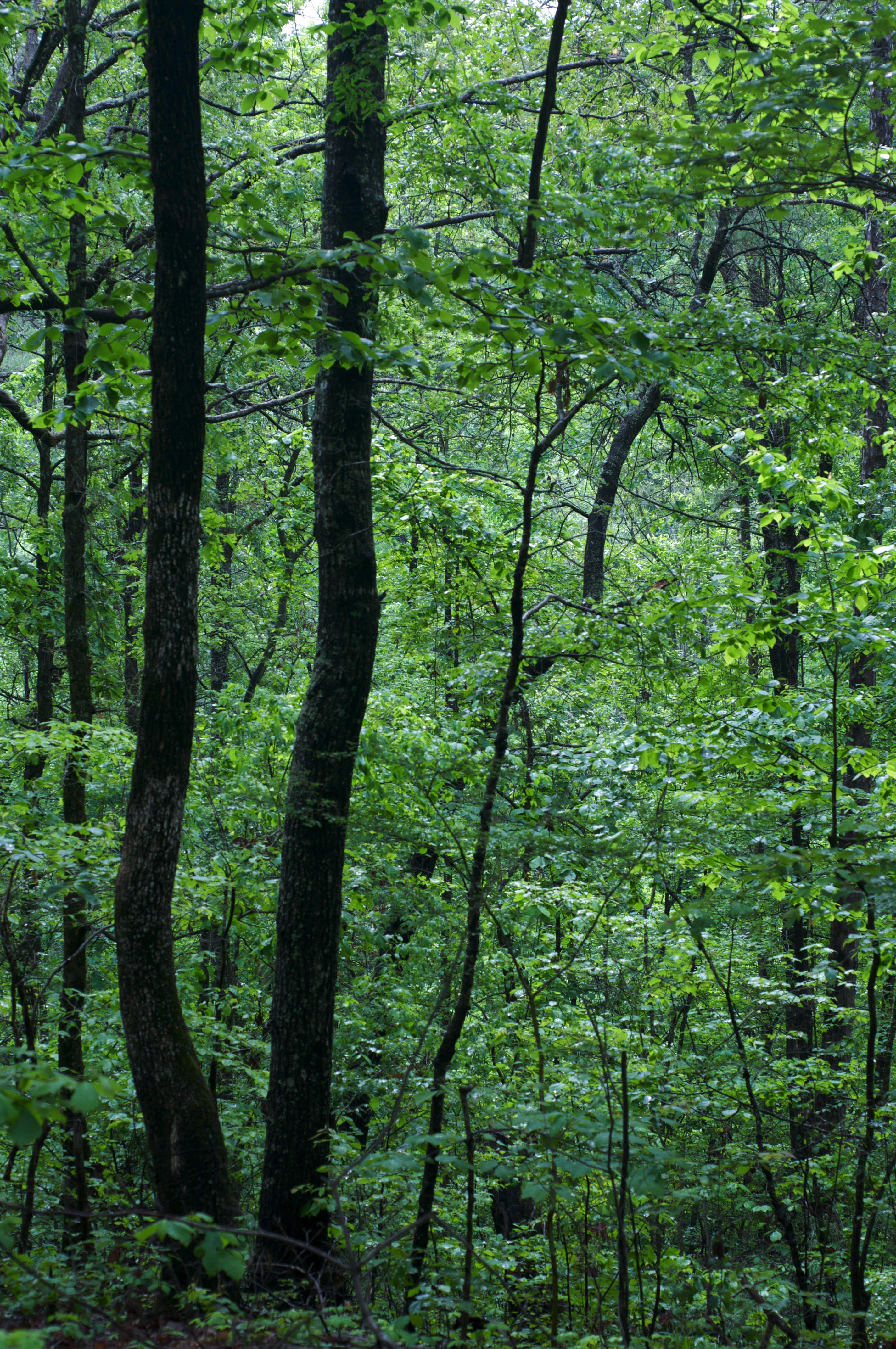
A walk at TCNP
2016 Winter Solstice
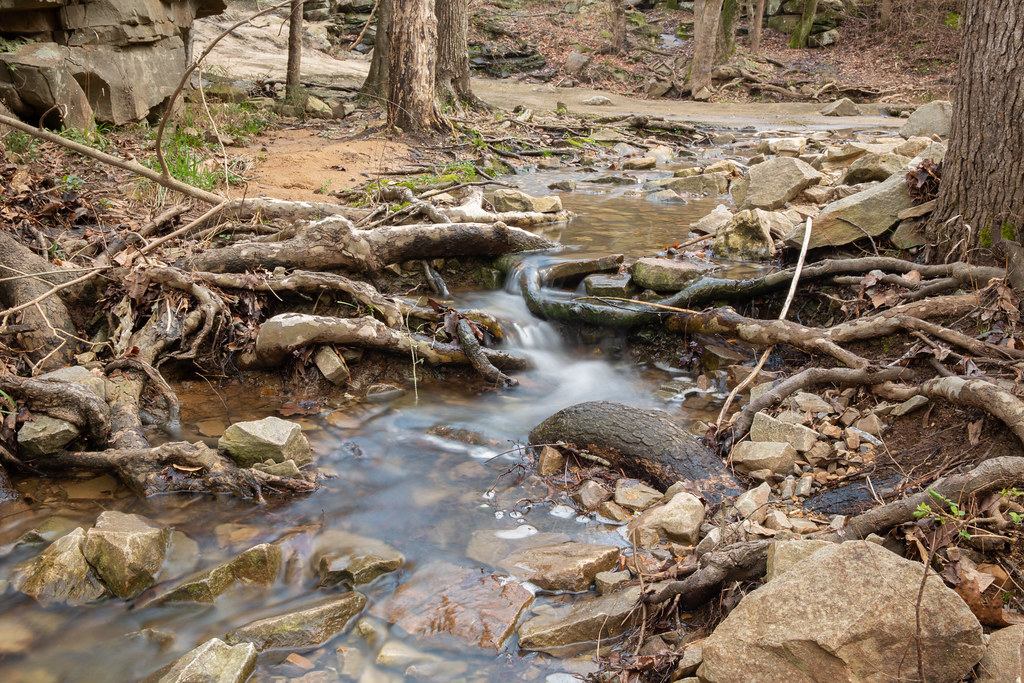
Small Waterfall
Happy Turkey Day

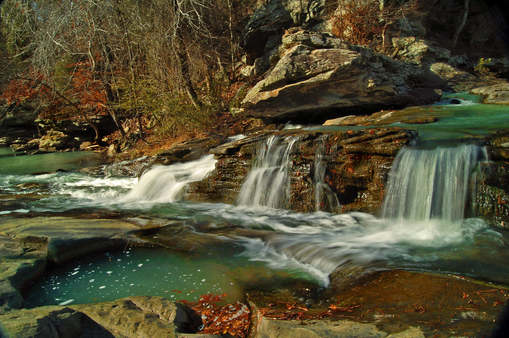
Turkey Creek
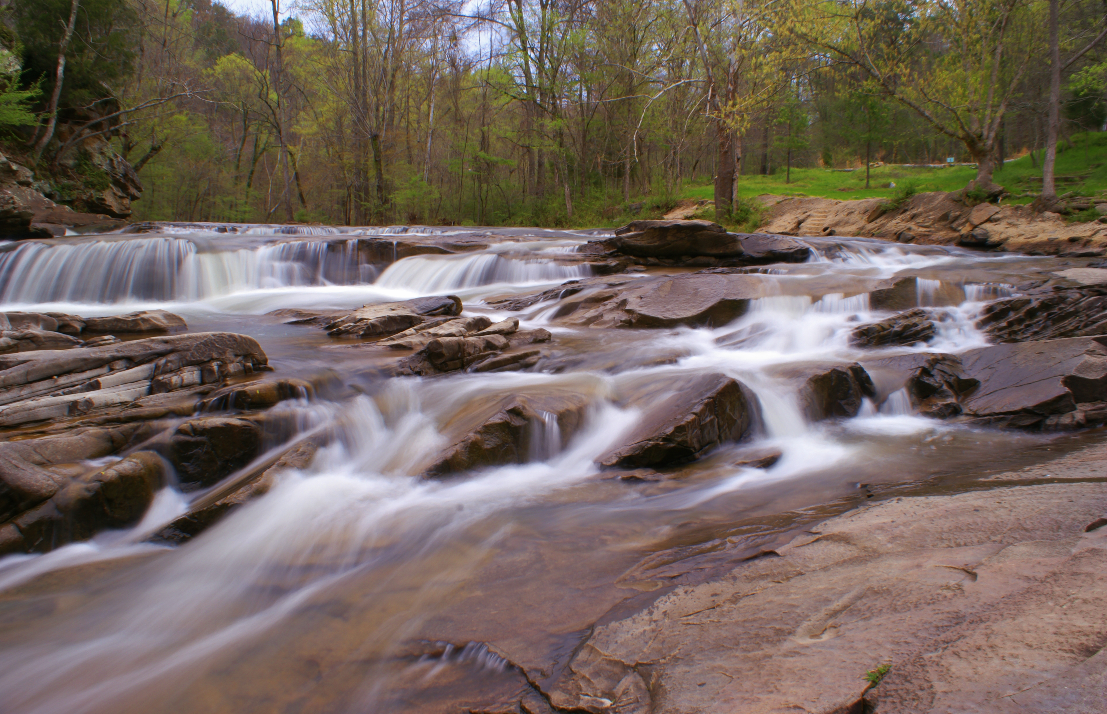
Turkey Creek
Turkey Creek Falls

Turkey Creek
Turkey Creek Nature Preserve
Cole Property, Big Canoe Creek Tributary, St. Clair Co., AL
Murphaee Valley Rd

Turkey Creek Nature Preserve-6
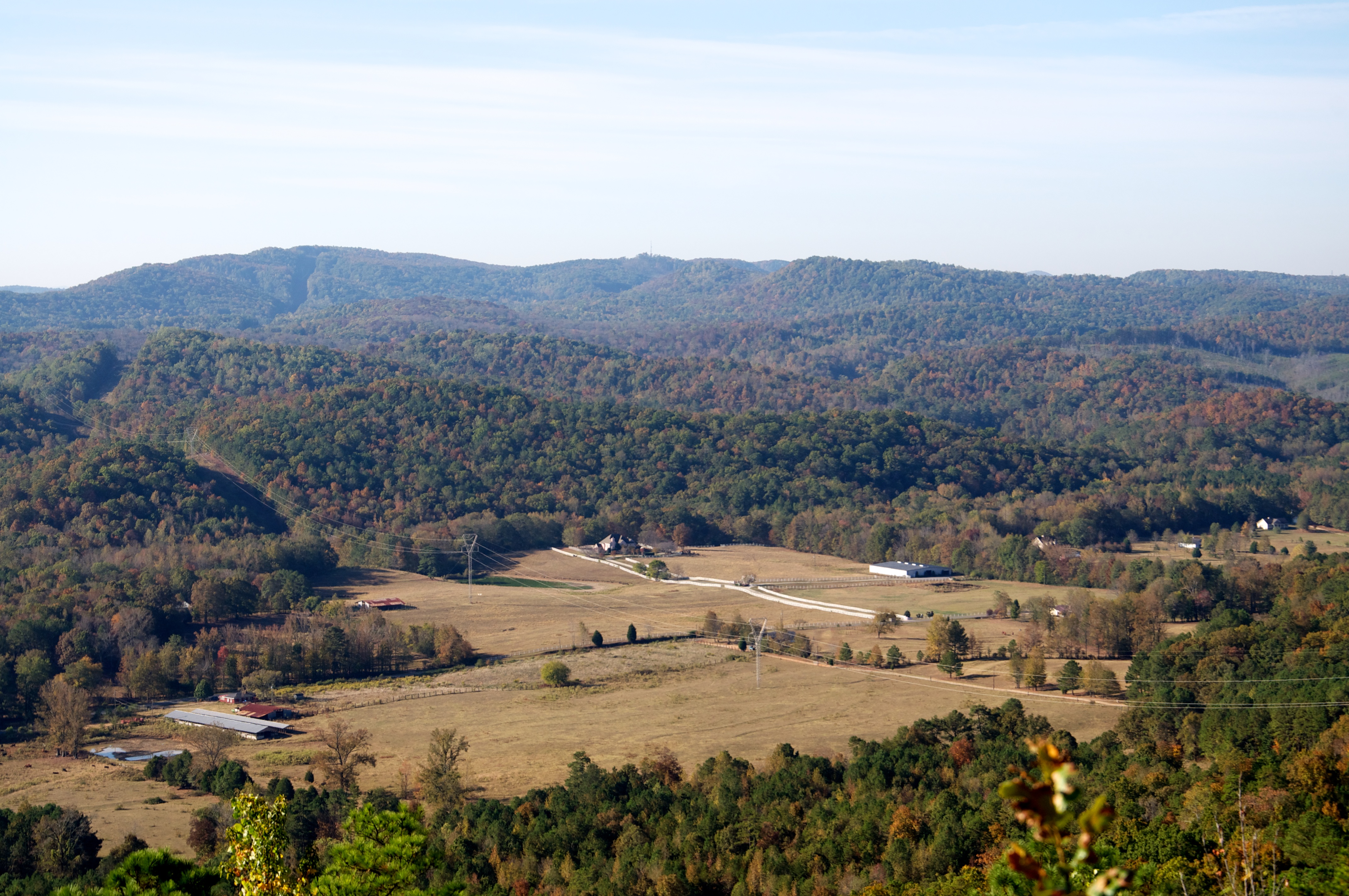
Murphaee Valley Rd

Turkey Creek Nature Preserve
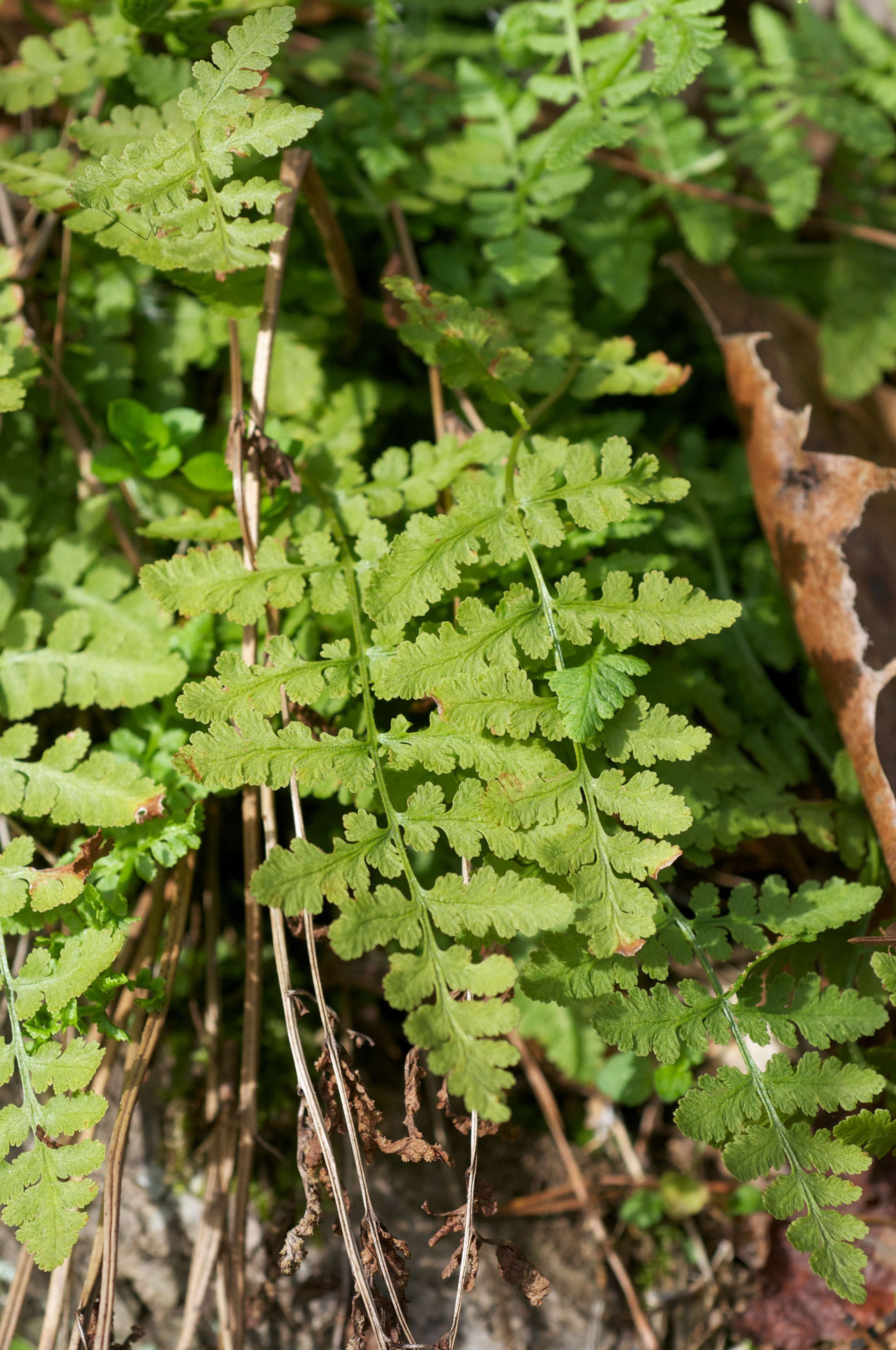
Woodsia obtusa

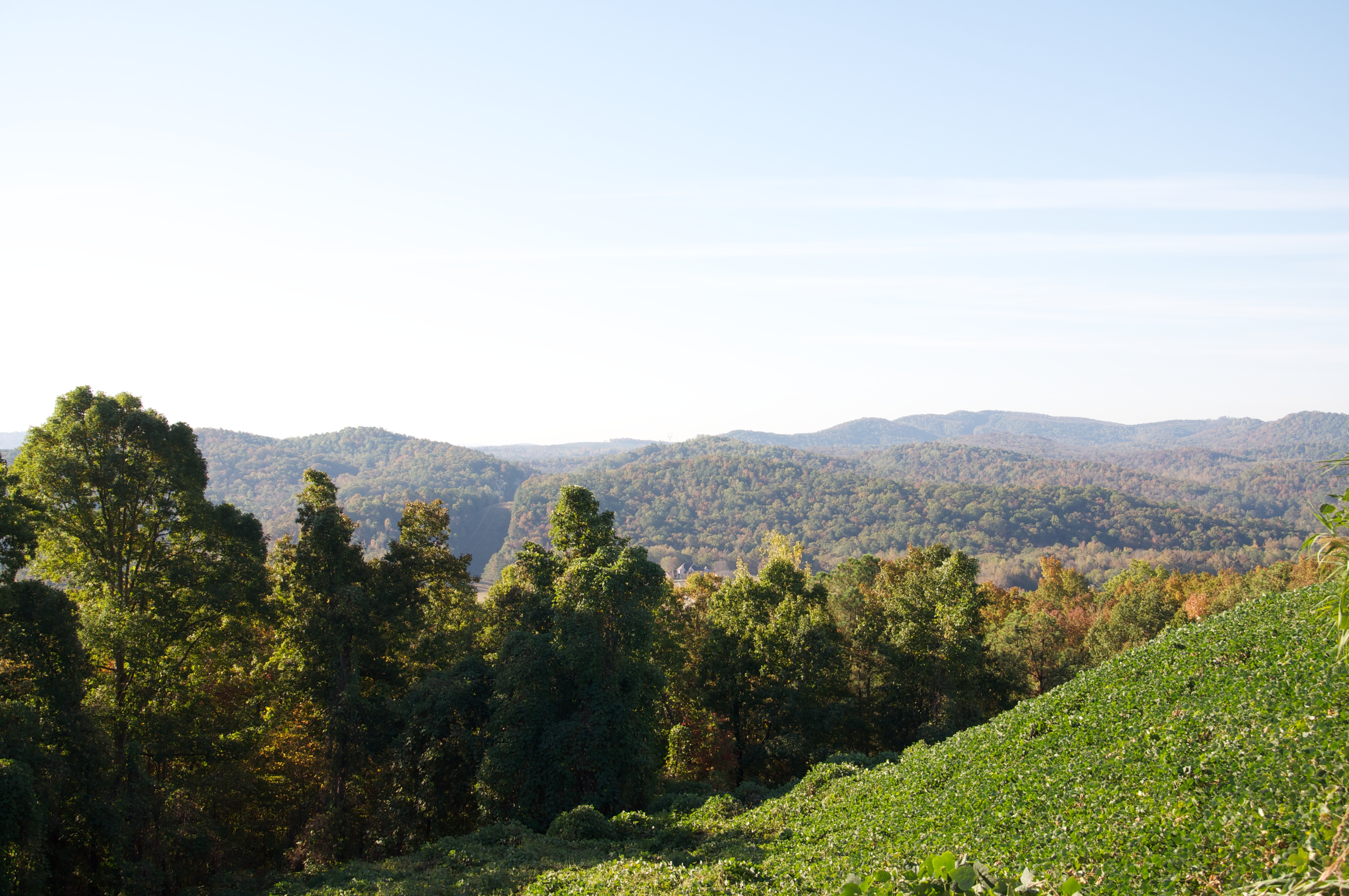
Paradise Valley this morning.

White water makes the turn at Turkey Creek Nature Preserve
Topographic Map of Zuber Rd, Springville, AL, USA
Find elevation by address:

Places near Zuber Rd, Springville, AL, USA:
Canoe Creek Rd, Springville, AL, USA
AL-75, Remlap, AL, USA
Remlap
Remlap Dr, Remlap, AL, USA
The Church At Bradford Road
Saddleback Rd, Oneonta, AL, USA
Cumberland Lake Dr, Pinson, AL, USA
Old Hwy 75, Oneonta, AL, USA
62 McCay Rd, Trafford, AL, USA
Masseyline Church Rd, Pinson, AL, USA
2898 County Hwy 15
Spoonhandle Rd, Trafford, AL, USA
495 Hollingsworth Rd
Boat Landing Rd, Oneonta, AL, USA
County Line, AL, USA
County Line
70 Thermal Rd, Trafford, AL, USA
C M Services
3221 Co Hwy 13
Sterling Cherry Farm Dam
Recent Searches:
- Elevation of Congressional Dr, Stevensville, MD, USA
- Elevation of Bellview Rd, McLean, VA, USA
- Elevation of Stage Island Rd, Chatham, MA, USA
- Elevation of Shibuya Scramble Crossing, 21 Udagawacho, Shibuya City, Tokyo -, Japan
- Elevation of Jadagoniai, Kaunas District Municipality, Lithuania
- Elevation of Pagonija rock, Kranto 7-oji g. 8"N, Kaunas, Lithuania
- Elevation of Co Rd 87, Jamestown, CO, USA
- Elevation of Tenjo, Cundinamarca, Colombia
- Elevation of Côte-des-Neiges, Montreal, QC H4A 3J6, Canada
- Elevation of Bobcat Dr, Helena, MT, USA