Elevation of County Line, AL, USA
Location: United States > Alabama > Blount County > County Line >
Longitude: -86.691322
Latitude: 33.8526982
Elevation: 142m / 466feet
Barometric Pressure: 100KPa
Elevation Map:
Satellite Map:
Related Photos:

Nectar Covered Bridge / P1983-0213a057-15
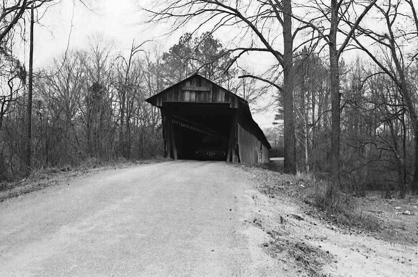
Nectar Covered Bridge / P1983-0213a057-19

Nectar Covered Bridge / P1983-0213a057-21
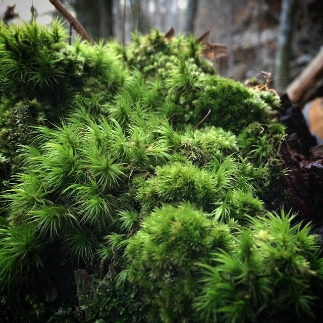
#mosses #bryophytes #inthewoods #wildalabama #green #verde #supergreen #verdeestupendo

Nectar Falls
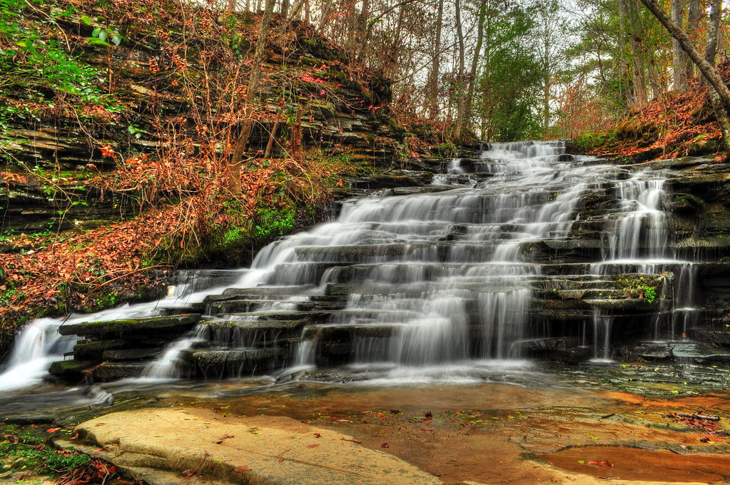
Upper Nectar Falls
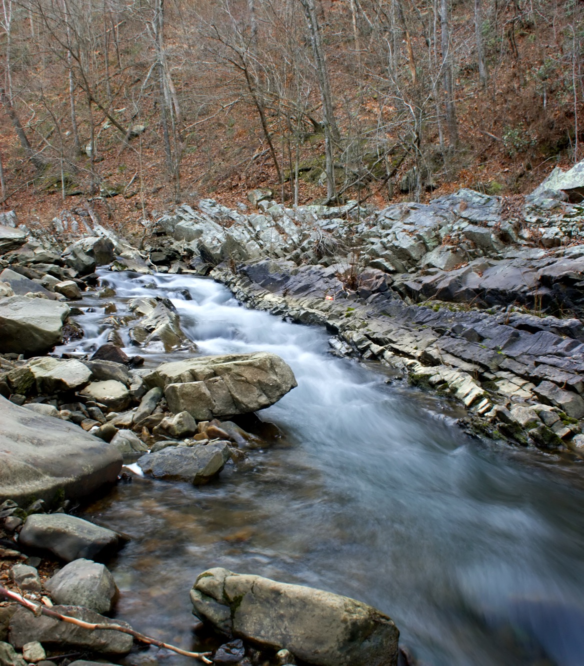
Blount Springs Runoff
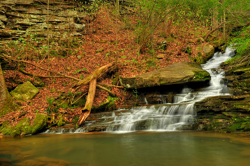
Nectar Falls
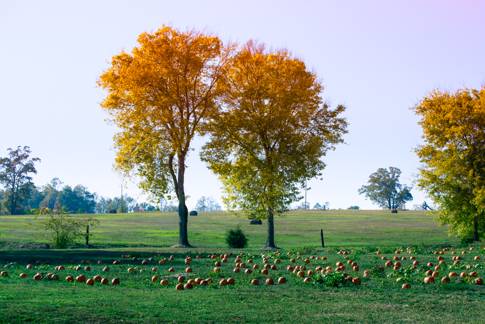
Fall Trees at the Pumpkin Patch
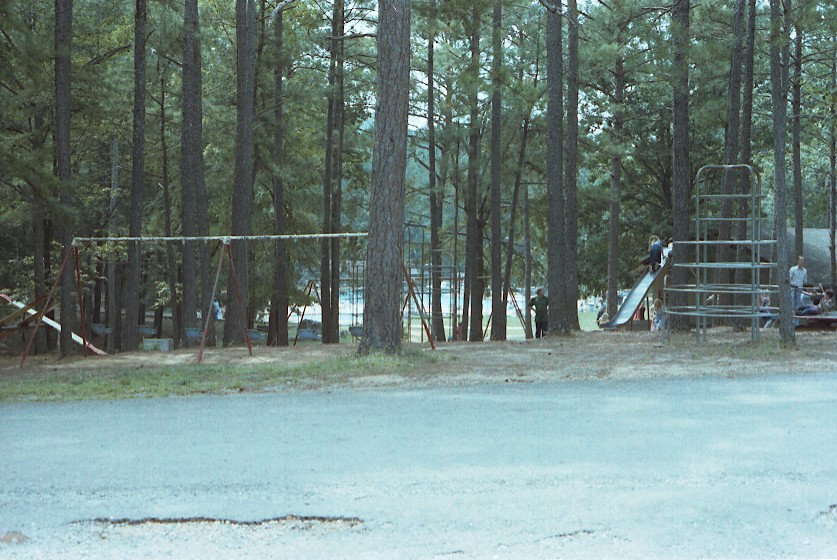
Rickwood Caverns State Park / P1982-0815A034-20

Rickwood Cave Tour / P1982-0815A035-20
Topographic Map of County Line, AL, USA
Find elevation by address:

Places near County Line, AL, USA:
Sterling Cherry Farm Dam
62 McCay Rd, Trafford, AL, USA
Spoonhandle Rd, Trafford, AL, USA
County Line
70 Thermal Rd, Trafford, AL, USA
Wallstown Rd, Hayden, AL, USA
Masseyline Church Rd, Pinson, AL, USA
Trafford
C M Services
Hayden
159 Sagefield Ln
3221 Co Hwy 13
Cumberland Lake Dr, Pinson, AL, USA
64 Mountain Oaks Valley Rd
Remlap Dr, Remlap, AL, USA
Remlap
AL-75, Remlap, AL, USA
Trafford Rd, Warrior, AL, USA
Old Hayden Rd, Warrior, AL, USA
495 Hollingsworth Rd
Recent Searches:
- Elevation of Shibuya Scramble Crossing, 21 Udagawacho, Shibuya City, Tokyo -, Japan
- Elevation of Jadagoniai, Kaunas District Municipality, Lithuania
- Elevation of Pagonija rock, Kranto 7-oji g. 8"N, Kaunas, Lithuania
- Elevation of Co Rd 87, Jamestown, CO, USA
- Elevation of Tenjo, Cundinamarca, Colombia
- Elevation of Côte-des-Neiges, Montreal, QC H4A 3J6, Canada
- Elevation of Bobcat Dr, Helena, MT, USA
- Elevation of Zu den Ihlowbergen, Althüttendorf, Germany
- Elevation of Badaber, Peshawar, Khyber Pakhtunkhwa, Pakistan
- Elevation of SE Heron Loop, Lincoln City, OR, USA