Elevation of Hayden, AL, USA

Location: United States > Alabama > Blount County >

Longitude: -86.757773

Latitude: 33.8926003

Elevation: 173m / 568feet

Barometric Pressure: 99KPa

Elevation Map:

elevation map of Hayden, AL, USA

Satellite Map:

Satellite map of Hayden, AL, USA

Related Photos:

lightpainting sparks cullmancounty abandonedbridge gardencityalabama mullberryfork
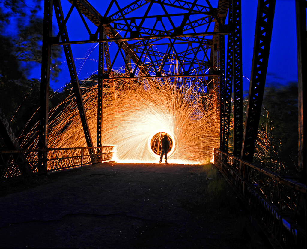
Light show at the Bridge
spring view alabama bridges gardencity cullman hanceville ushwy31
Bridge 2
structures coveredbridges blountcountyalabama riversandstreams nationalregisterofhistoricplaces blackwarriorriver stateofalabama circa1930s alabamalandmarks bridgesandtunnels stateroute160 nectarcoveredbridge nectaralabama alabamanectar rolla057 locustforkoftheblackwarriorriver townlatticetrussconstruction alabamacountyblount formatfilm35mmnegativebw year1983pictures cameracanonae1program2067283 canonae1program2067283 nectarbridgeroad
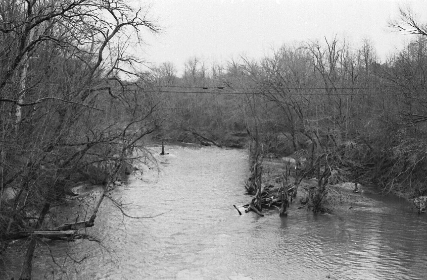
Locust Fork of the Black Warrior River P1983-0213a057-17
structures coveredbridges streetviews blountcountyalabama nationalregisterofhistoricplaces blackwarriorriver stateofalabama circa1930s alabamalandmarks bridgesandtunnels stateroute160 nectarcoveredbridge nectaralabama alabamanectar rolla057 locustforkoftheblackwarriorriver townlatticetrussconstruction alabamacountyblount formatfilm35mmnegativebw year1983pictures cameracanonae1program2067283 canonae1program2067283 nectarbridgeroad
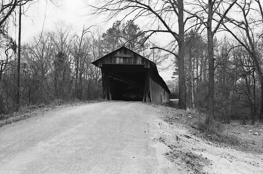
Nectar Covered Bridge P1983-0213a057-19
structures coveredbridges streetviews blountcountyalabama nationalregisterofhistoricplaces blackwarriorriver stateofalabama circa1930s alabamalandmarks bridgesandtunnels stateroute160 nectarcoveredbridge nectaralabama alabamanectar rolla057 locustforkoftheblackwarriorriver townlatticetrussconstruction alabamacountyblount formatfilm35mmnegativebw year1983pictures cameracanonae1program2067283 canonae1program2067283 nectarbridgeroad
Nectar Covered Bridge P1983-0213a057-15
structures coveredbridges blountcountyalabama riversandstreams nationalregisterofhistoricplaces blackwarriorriver stateofalabama circa1930s alabamalandmarks bridgesandtunnels stateroute160 nectarcoveredbridge nectaralabama alabamanectar rolla057 locustforkoftheblackwarriorriver townlatticetrussconstruction alabamacountyblount formatfilm35mmnegativebw year1983pictures cameracanonae1program2067283 canonae1program2067283 nectarbridgeroad
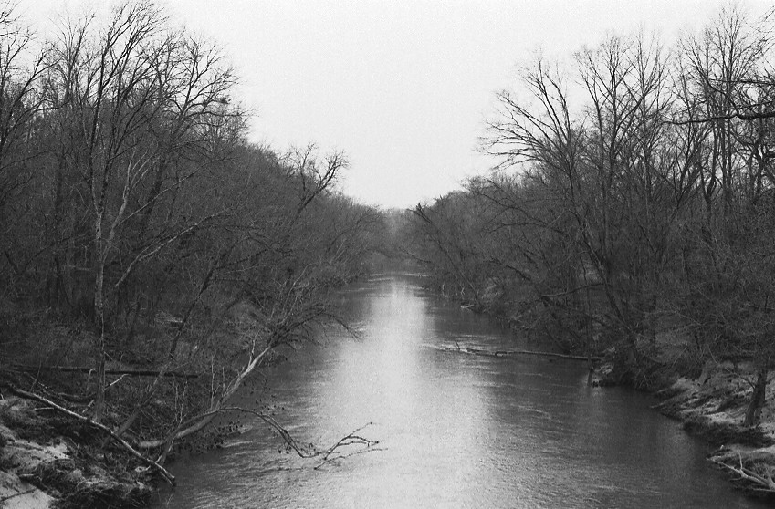
Locust Fork of the Black Warrior River P1983-0213a057-16
structures coveredbridges blountcountyalabama nationalregisterofhistoricplaces blackwarriorriver stateofalabama circa1930s alabamalandmarks bridgesandtunnels stateroute160 nectarcoveredbridge nectaralabama alabamanectar rolla057 locustforkoftheblackwarriorriver townlatticetrussconstruction alabamacountyblount formatfilm35mmnegativebw year1983pictures cameracanonae1program2067283 canonae1program2067283 nectarbridgeroad
Nectar Covered Bridge P1983-0213a057-21
trees plant tree nature canon bokeh seed seedhead crepe vegetation myrtle
Seed Pods of the Crepe Myrtle
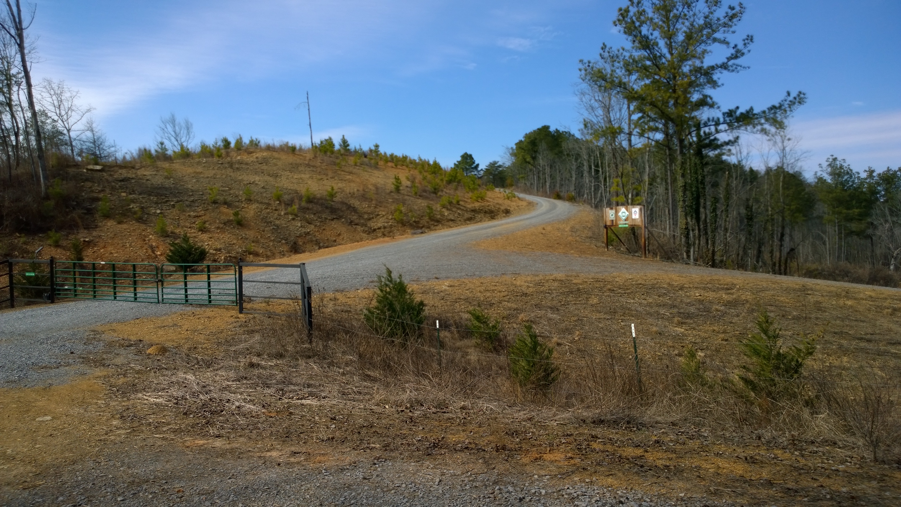
Another view of the entrance to Co Rd 504
old bridge river square alabama rusty squareformat iphone gardencity earlybird northalabamaphotographersguild napg mulberryfork iphoneography instagramapp uploaded:by=instagram highway31south garthbrooksvideo idonthavetowonder
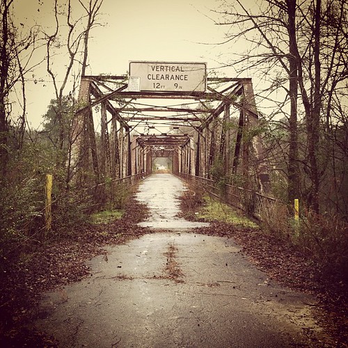
Mulberry Fork Bridge
trees nature water geotagged rocks stream canon20d alabama waterblur blountsprings blountcounty canon1855mmf3556
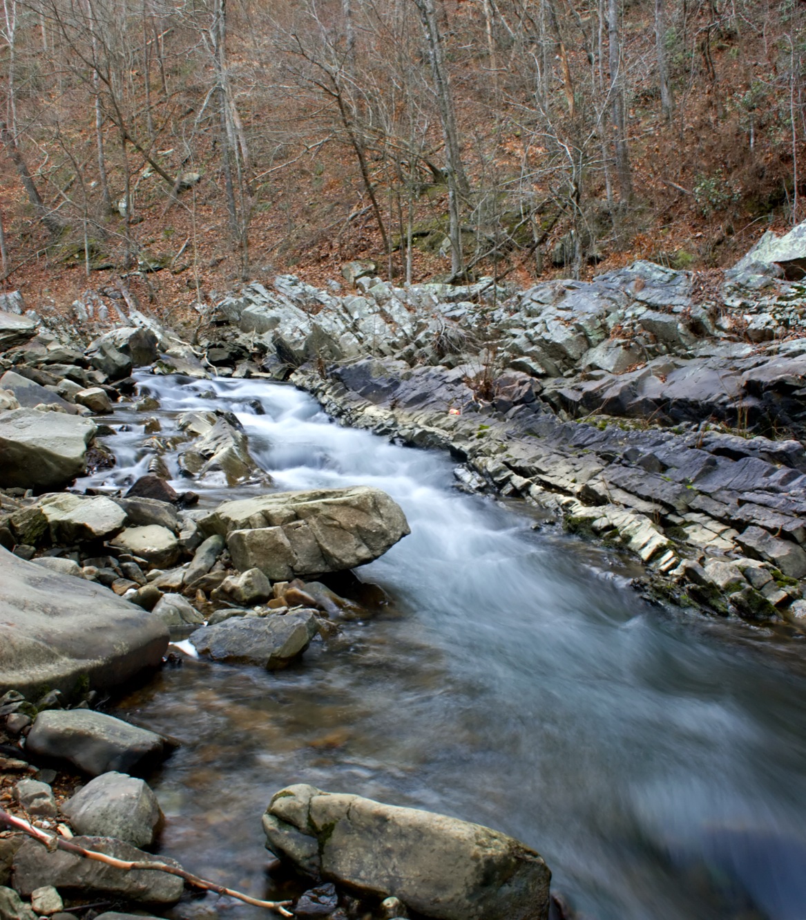
Blount Springs Runoff
square squareformat iphoneography instagramapp uploaded:by=instagram
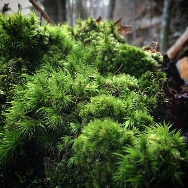
#mosses #bryophytes #inthewoods #wildalabama #green #verde #supergreen #verdeestupendo
autumn trees fall pumpkin landscape patch
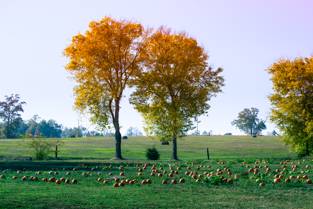
Fall Trees at the Pumpkin Patch
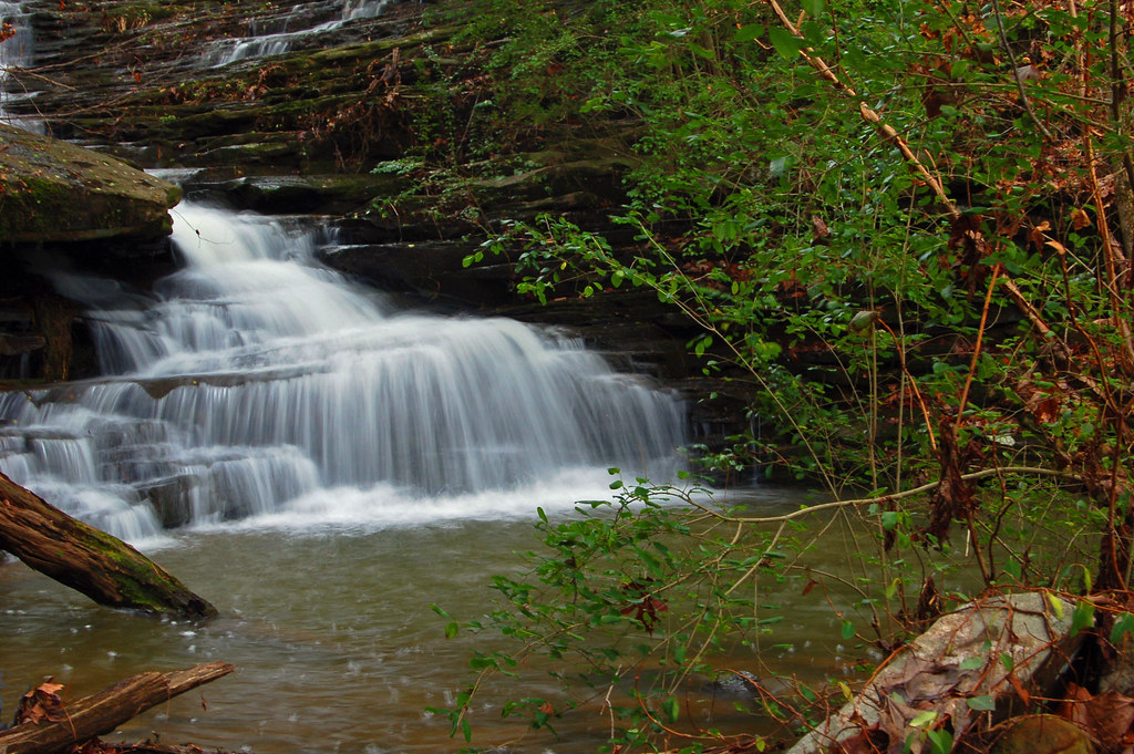
waterfall alabama blountcounty nectarfalls nectaralabama clevelandalabama
Nectar Falls
alabama resort sulphur blountsprings springwater lithium blountcounty blountcountyalabama chalybeate blountcountyal alabamahistory blountspringsalabama blountspringsal
Blount Springs: Foundation Ruins of the Old Resort
square squareformat iphoneography instagramapp uploaded:by=instagram
#jagged #leafheart #leaftrails #afternoonwalk #onadirtroad #inthewoods #landforsale due North off Joy Road, gauging the watershed of Big Scirum Creek w/ the Doc. wishing we had 4WD. #muscadine #Vitisrotundifolia #vitaceae #nativespecies #nativealabama #wi
alabama resort sulphur blountsprings springwater lithium blountcounty blountcountyalabama chalybeate blountcountyal alabamahistory blountspringsalabama blountspringsal
Blount Springs: Natural White Sulfur Spring
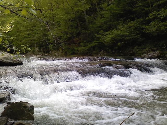
Flowing Waters
reflections landscapes trucks i65 interstatehighways alabamahighways
Truck with Reflected Landscape
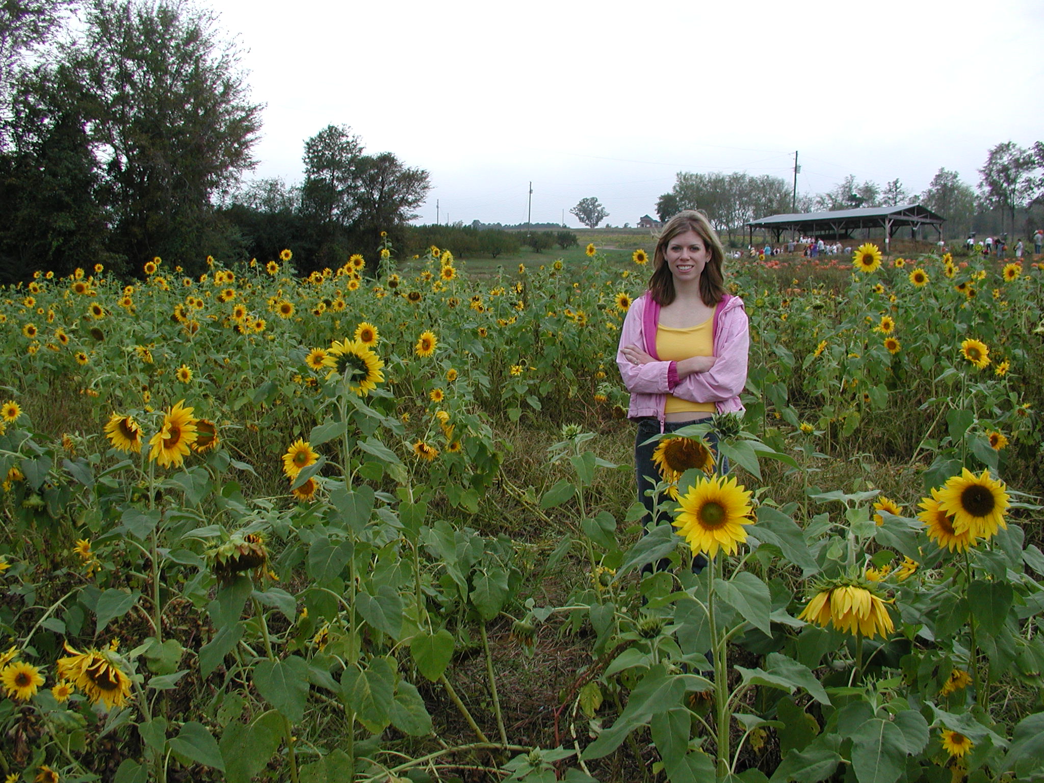
Pumpkin Parch 2004 023
parks caves stateparks blountcountyalabama stateofalabama warrioralabama rickwoodcaverns rickwoodcavernsstatepark alabamastateparks rolla035 formatfilm35mmnegative alabamacountyblount alabamawarrior cameracanonae1program2067283 year1982pictures
Rickwood Cave Tour P1982-0815A035-20
parks caves stateparks blountcountyalabama stateofalabama warrioralabama rickwoodcaverns rickwoodcavernsstatepark alabamastateparks rolla035 formatfilm35mmnegative alabamacountyblount alabamawarrior cameracanonae1program2067283 year1982pictures
Rickwood Cave Tour P1982-0815A035-19
parks playgrounds stateparks blountcountyalabama stateofalabama warrioralabama rickwoodcavernsstatepark alabamastateparks rolla034 formatfilm35mmnegative alabamacountyblount alabamawarrior cameracanonae1program2067283 year1982pictures
Rickwood Caverns State Park P1982-0815A034-20