Elevation of Crosshill Ln, Warrior, AL, USA
Location: United States > Alabama > Blount County > Smoke Rise >
Longitude: -86.819920
Latitude: 33.891956
Elevation: 311m / 1020feet
Barometric Pressure: 98KPa
Elevation Map:
Satellite Map:
Related Photos:
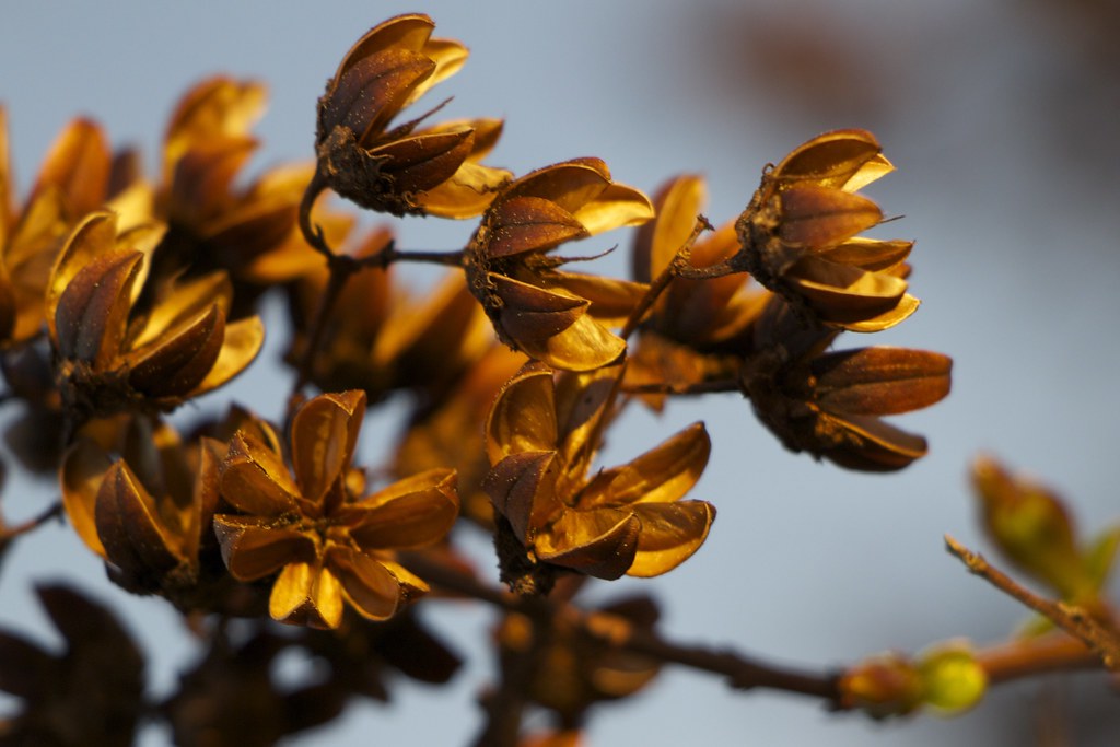
Seed Pods of the Crepe Myrtle
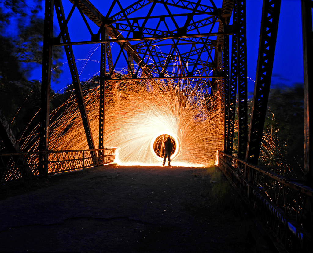
Light show at the Bridge

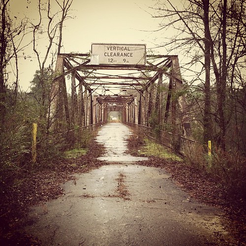
Bridge 2
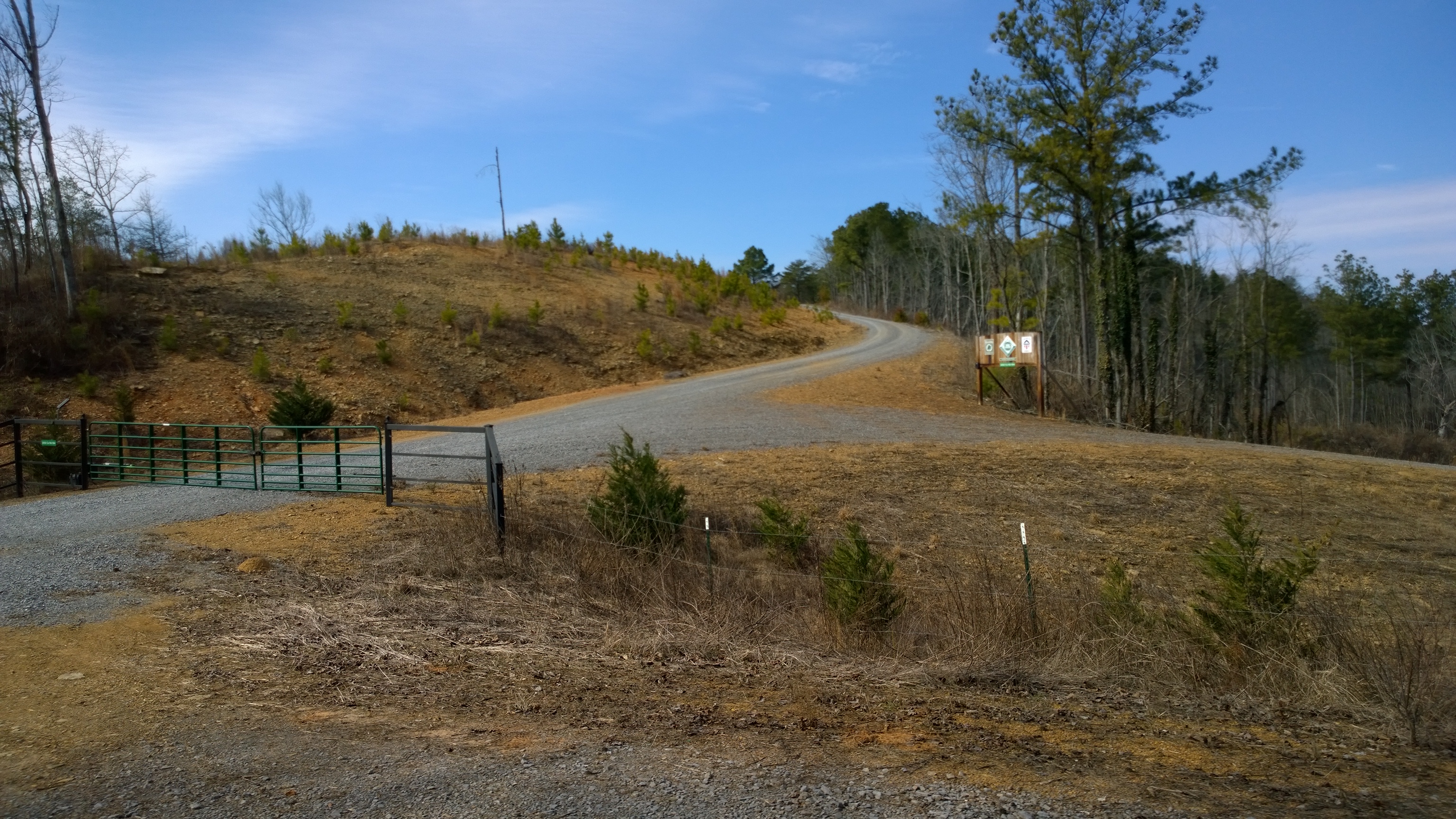
Another view of the entrance to Co Rd 504
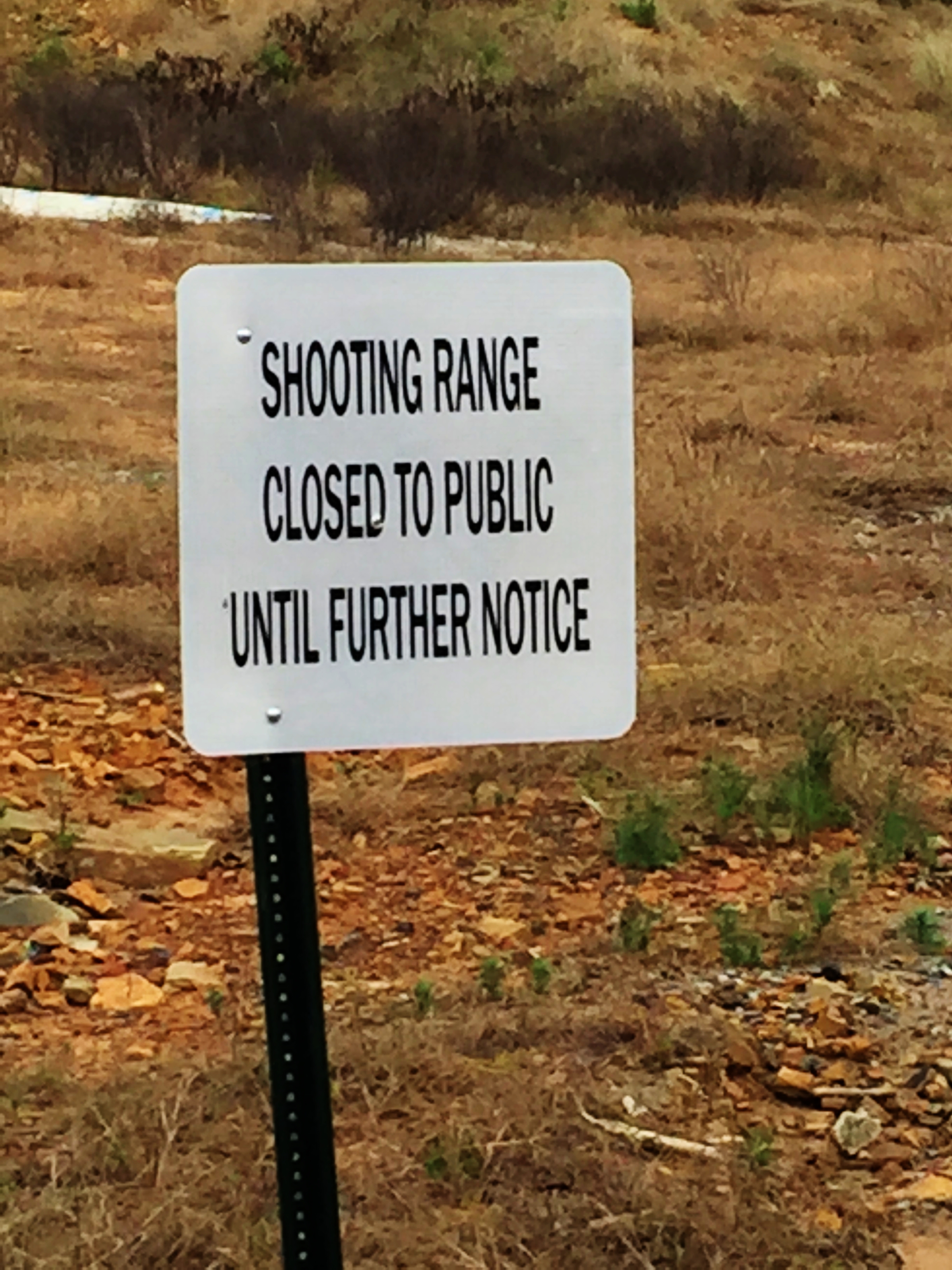
Candidate Eric Parker Speaks Out On Gun Range
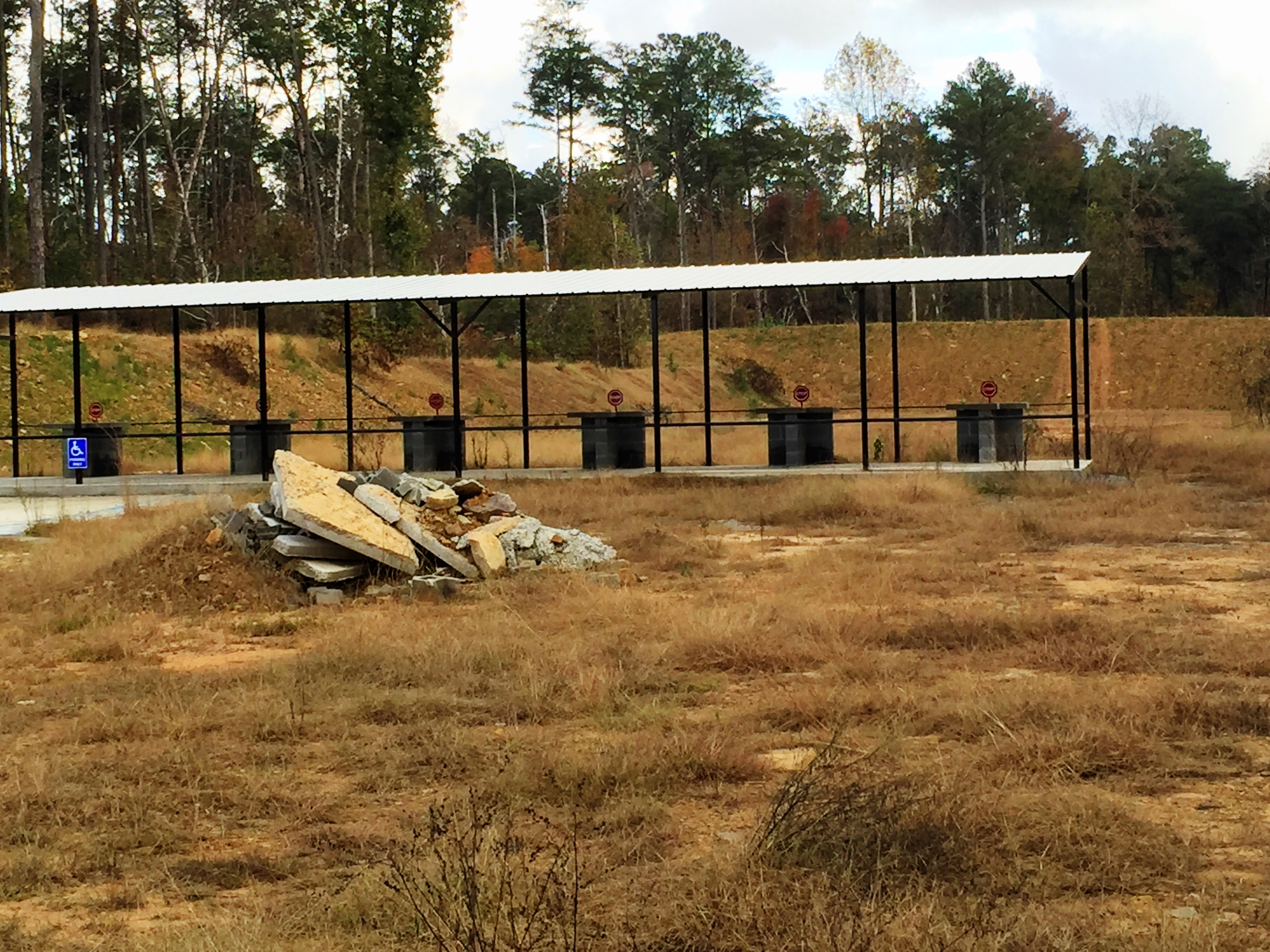
Candidate Eric Parker Speaks Out On Gun Range
Candidate Eric Parker Speaks Out On Gun Range
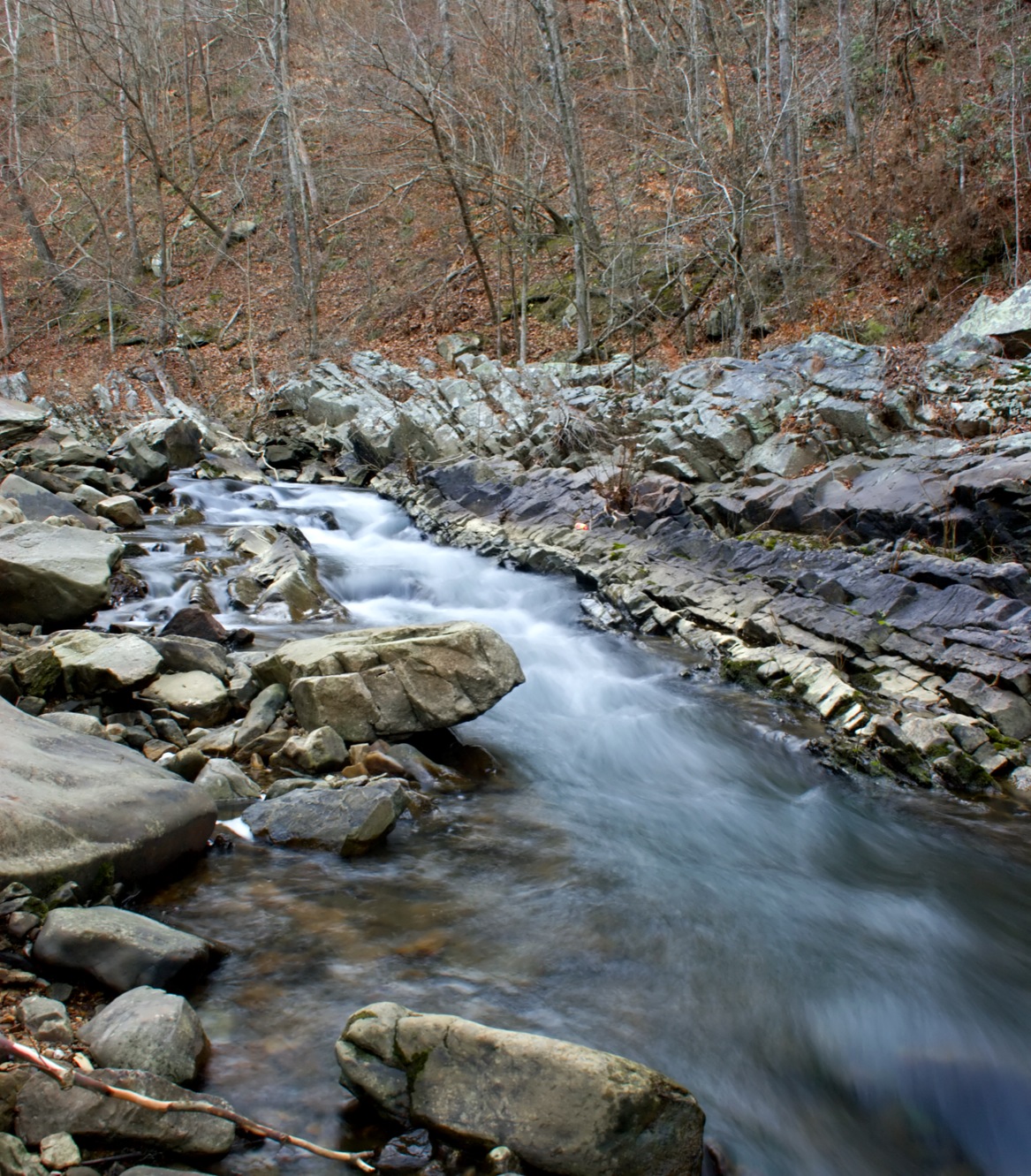
Blount Springs Runoff

Blount Springs: Foundation Ruins of the Old Resort

Blount Springs: Natural White Sulfur Spring
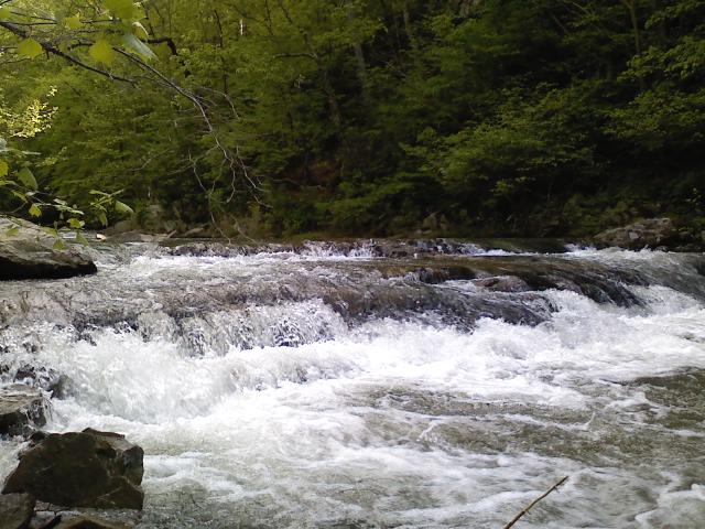
Flowing Waters

Truck with Reflected Landscape
Mulberry Fork Bridge

About 2/3rds the way up the 0.2 mile cat 4
Knob Mine Bucyrus Erie 1570 Walking Dragline

Knob Mine Bucyrus 1260 Dragline
Not sure on this one
The super steep 35% ramp at the bottom that looks paved from interstate
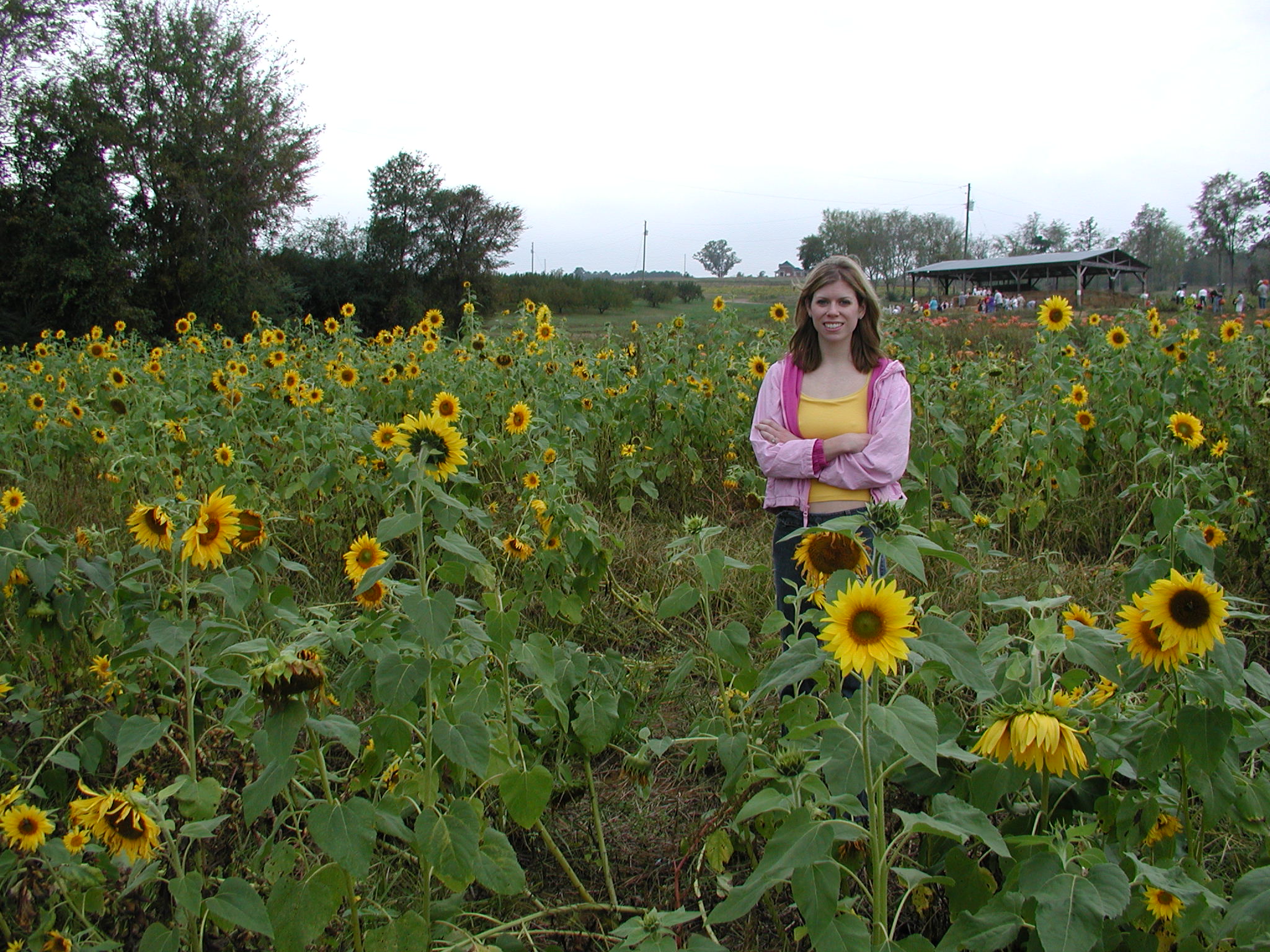
Pumpkin Parch 2004 023

Rickwood Cave Tour / P1982-0815A035-20

Rickwood Cave Tour / P1982-0815A035-19
Rickwood Caverns State Park / P1982-0815A034-20
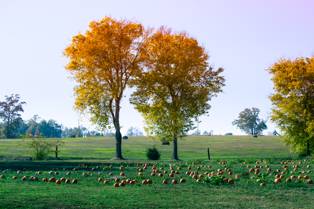
Fall Trees at the Pumpkin Patch
Topographic Map of Crosshill Ln, Warrior, AL, USA
Find elevation by address:

Places near Crosshill Ln, Warrior, AL, USA:
Smoke Rise
106 Drennen Park Cir
1101 Smoke Rise Trail
64 Mountain Oaks Valley Rd
159 Sagefield Ln
Old Hayden Rd, Warrior, AL, USA
Hayden
Trafford Rd, Warrior, AL, USA
Warrior
Crane St, Warrior, AL, USA
Trafford
Kimberly
Wallstown Rd, Hayden, AL, USA
70 Thermal Rd, Trafford, AL, USA
County Line
Pine Trail, Kimberly, AL, USA
County Line, AL, USA
Sterling Cherry Farm Dam
62 McCay Rd, Trafford, AL, USA
Masseyline Church Rd, Pinson, AL, USA
Recent Searches:
- Elevation of Tenjo, Cundinamarca, Colombia
- Elevation of Côte-des-Neiges, Montreal, QC H4A 3J6, Canada
- Elevation of Bobcat Dr, Helena, MT, USA
- Elevation of Zu den Ihlowbergen, Althüttendorf, Germany
- Elevation of Badaber, Peshawar, Khyber Pakhtunkhwa, Pakistan
- Elevation of SE Heron Loop, Lincoln City, OR, USA
- Elevation of Slanický ostrov, 01 Námestovo, Slovakia
- Elevation of Spaceport America, Co Rd A, Truth or Consequences, NM, USA
- Elevation of Warwick, RI, USA
- Elevation of Fern Rd, Whitmore, CA, USA