Elevation of Remlap, AL, USA
Location: United States > Alabama > Blount County >
Longitude: -86.600822
Latitude: 33.8167666
Elevation: 223m / 732feet
Barometric Pressure: 99KPa
Elevation Map:
Satellite Map:
Related Photos:

~

A day without shoes

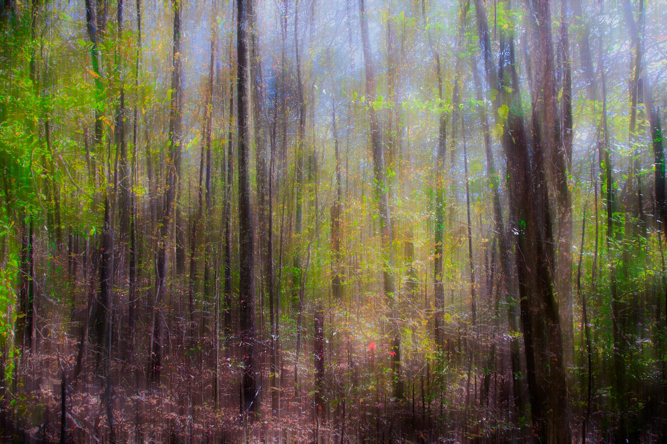
Turkey Creek vignette
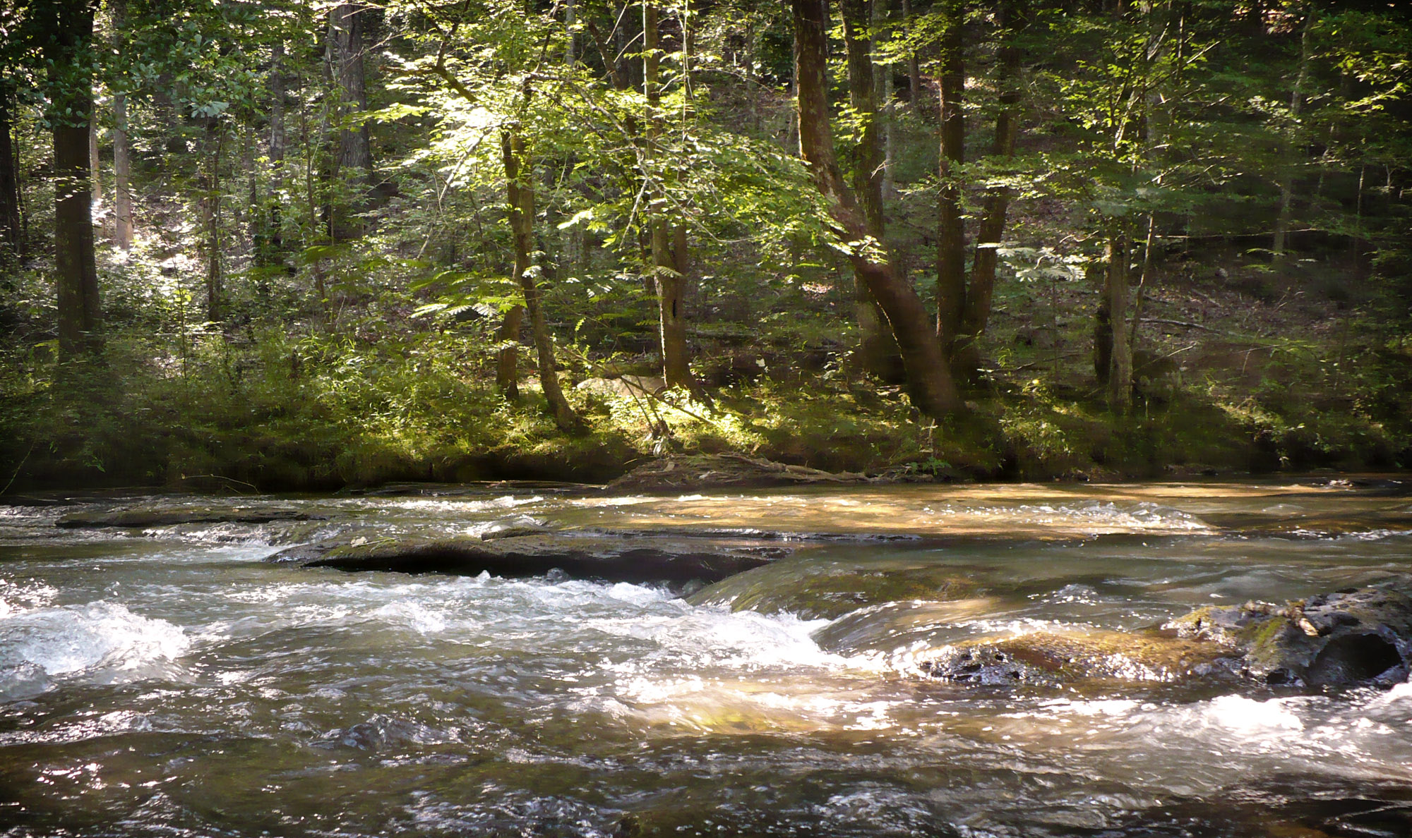
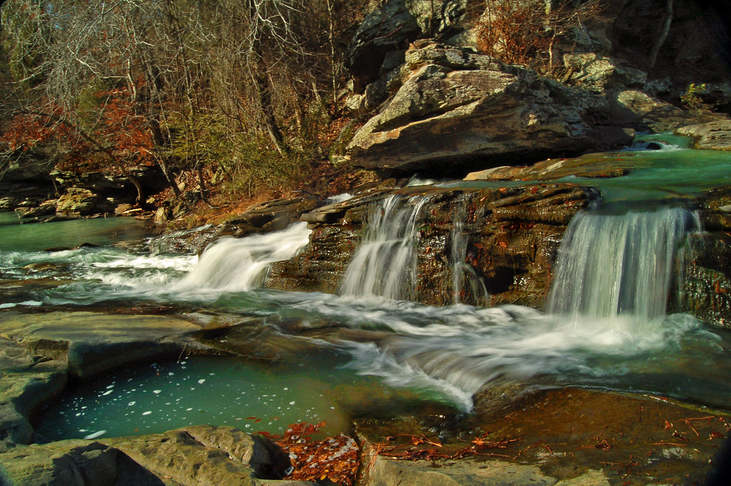
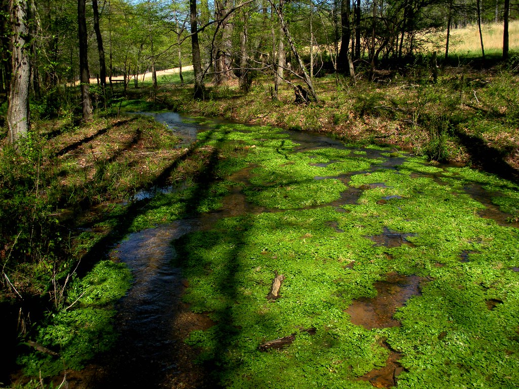
Turkey Creek

Nature destroys what it creates (4/52)
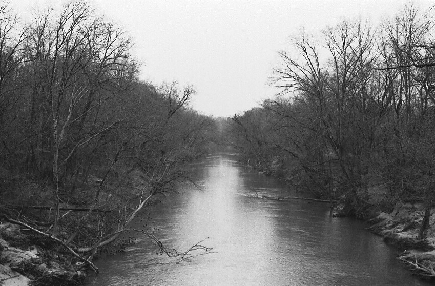
Locust Fork of the Black Warrior River P1983-0213a057-17
Nectar Covered Bridge P1983-0213a057-19

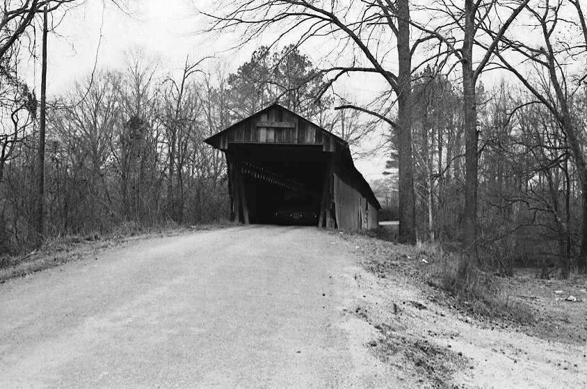
Nectar Covered Bridge P1983-0213a057-15
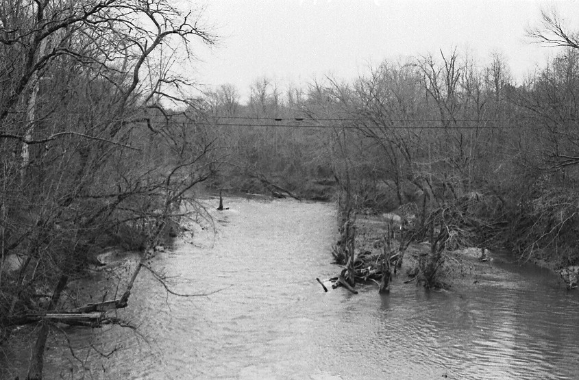
Locust Fork of the Black Warrior River P1983-0213a057-16

Nectar Covered Bridge P1983-0213a057-21
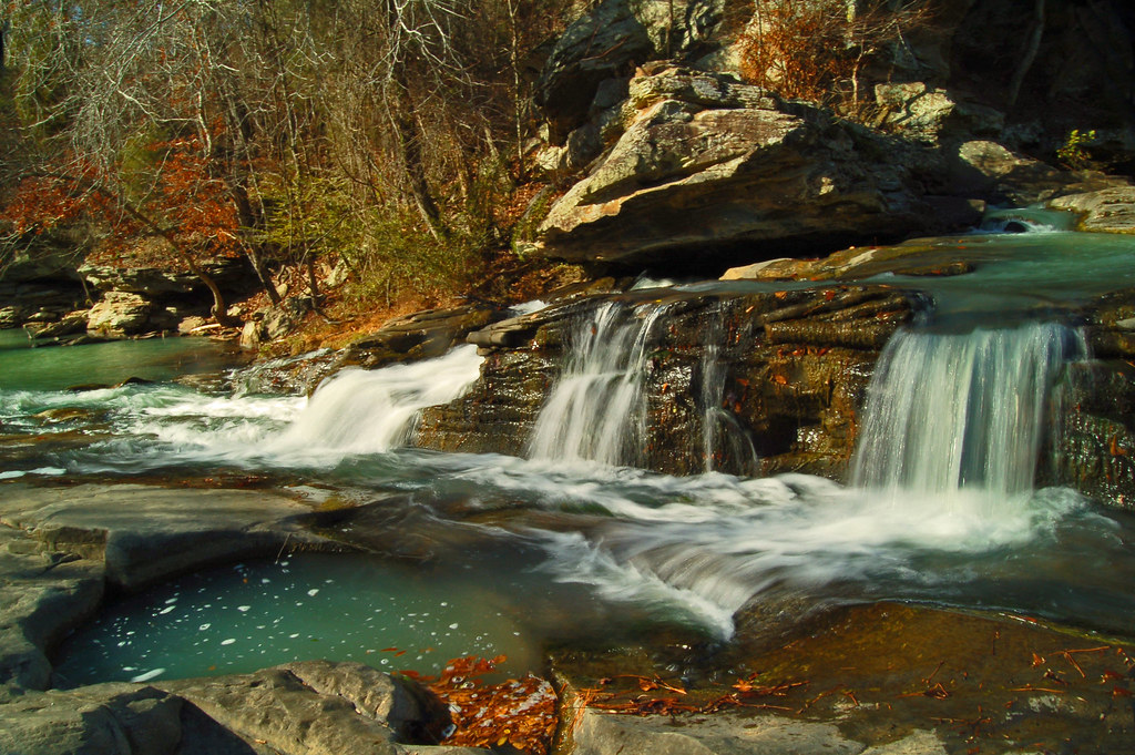
More from Turkey Creek
Happy Turkey Day
Turkey Creek

Turkey Creek
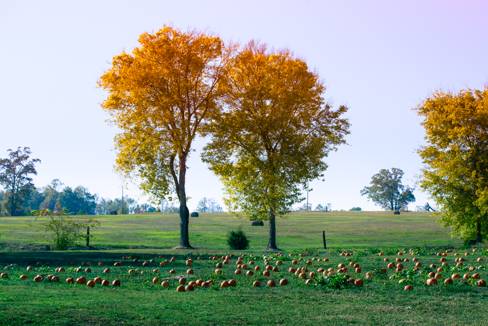
Fall Trees at the Pumpkin Patch
Autumn's last

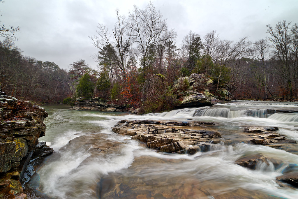
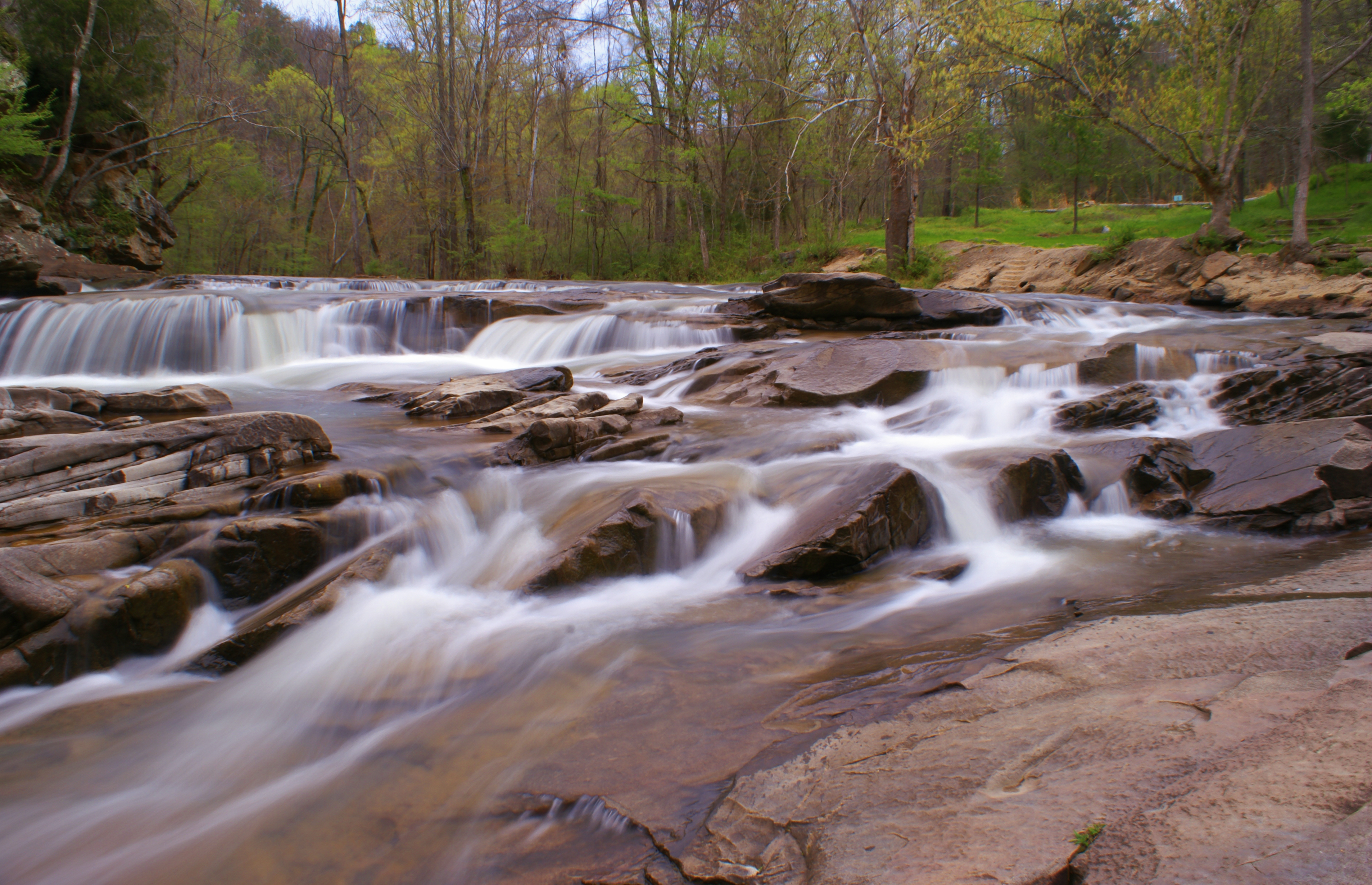
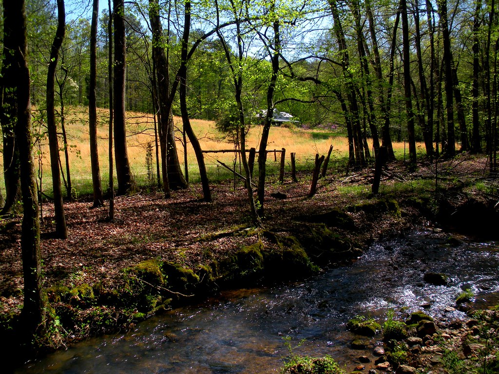
Turkey Creek Falls

Turkey Creek Nature Preserve
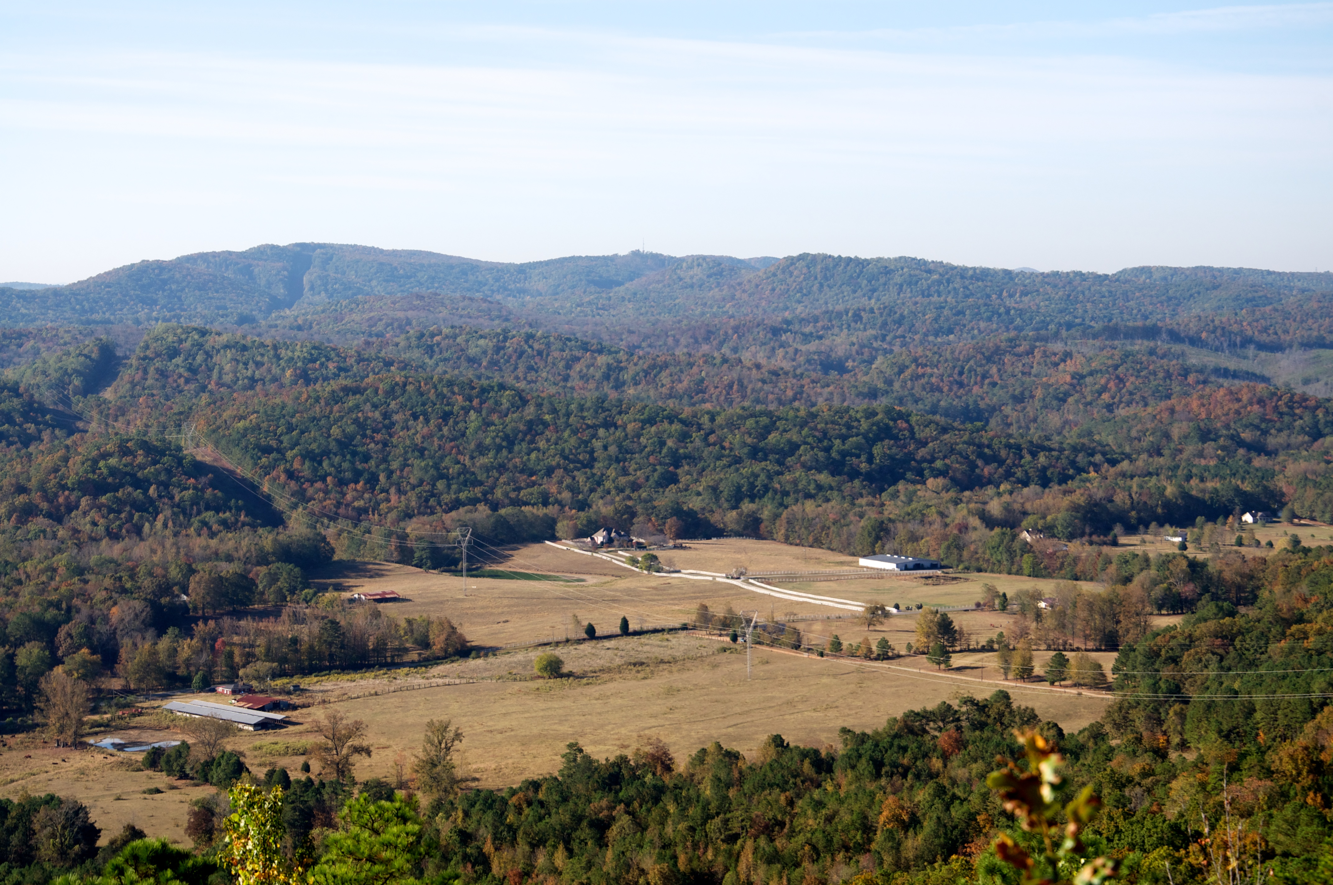
Murphaee Valley Rd
Turkey Creek

Turkey Creek

Easter day
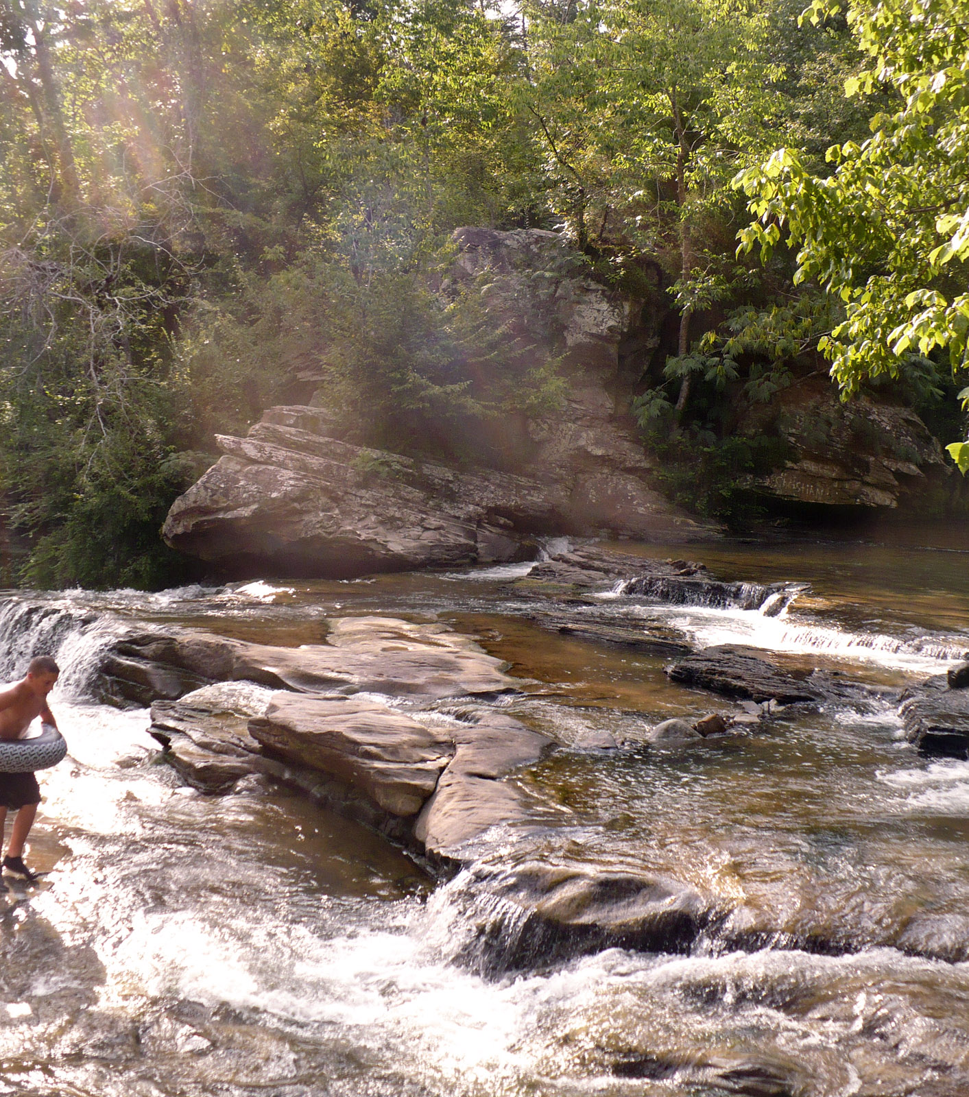
Turkey Creek Falls
Spring run, tributary of Big Canoe Creek, St. Clair Co., Alabama
Turkey Creek Nature Preserve
Cole Property, Big Canoe Creek Tributary, St. Clair Co., AL
Murphaee Valley Rd

Turkey Creek Nature Preserve

Eurycea cirrigera egg mass, Big Canoe Creek Tributary, St. Clair Co., Alabama
Topographic Map of Remlap, AL, USA
Find elevation by address:

Places in Remlap, AL, USA:
Places near Remlap, AL, USA:
Remlap Dr, Remlap, AL, USA
AL-75, Remlap, AL, USA
Saddleback Rd, Oneonta, AL, USA
62 McCay Rd, Trafford, AL, USA
Spoonhandle Rd, Trafford, AL, USA
8614 Zuber Rd
2898 County Hwy 15
Cumberland Lake Dr, Pinson, AL, USA
Canoe Creek Rd, Springville, AL, USA
495 Hollingsworth Rd
Masseyline Church Rd, Pinson, AL, USA
County Line, AL, USA
Old Hwy 75, Oneonta, AL, USA
C M Services
3221 Co Hwy 13
Sterling Cherry Farm Dam
County Line
70 Thermal Rd, Trafford, AL, USA
The Church At Bradford Road
Wallstown Rd, Hayden, AL, USA
Recent Searches:
- Elevation of Corso Fratelli Cairoli, 35, Macerata MC, Italy
- Elevation of Tallevast Rd, Sarasota, FL, USA
- Elevation of 4th St E, Sonoma, CA, USA
- Elevation of Black Hollow Rd, Pennsdale, PA, USA
- Elevation of Oakland Ave, Williamsport, PA, USA
- Elevation of Pedrógão Grande, Portugal
- Elevation of Klee Dr, Martinsburg, WV, USA
- Elevation of Via Roma, Pieranica CR, Italy
- Elevation of Tavkvetili Mountain, Georgia
- Elevation of Hartfords Bluff Cir, Mt Pleasant, SC, USA