Elevation of Young Rd, Randle, WA, USA
Location: United States > Washington > Lewis County > Randle >
Longitude: -121.90710
Latitude: 46.537183
Elevation: 278m / 912feet
Barometric Pressure: 98KPa
Elevation Map:
Satellite Map:
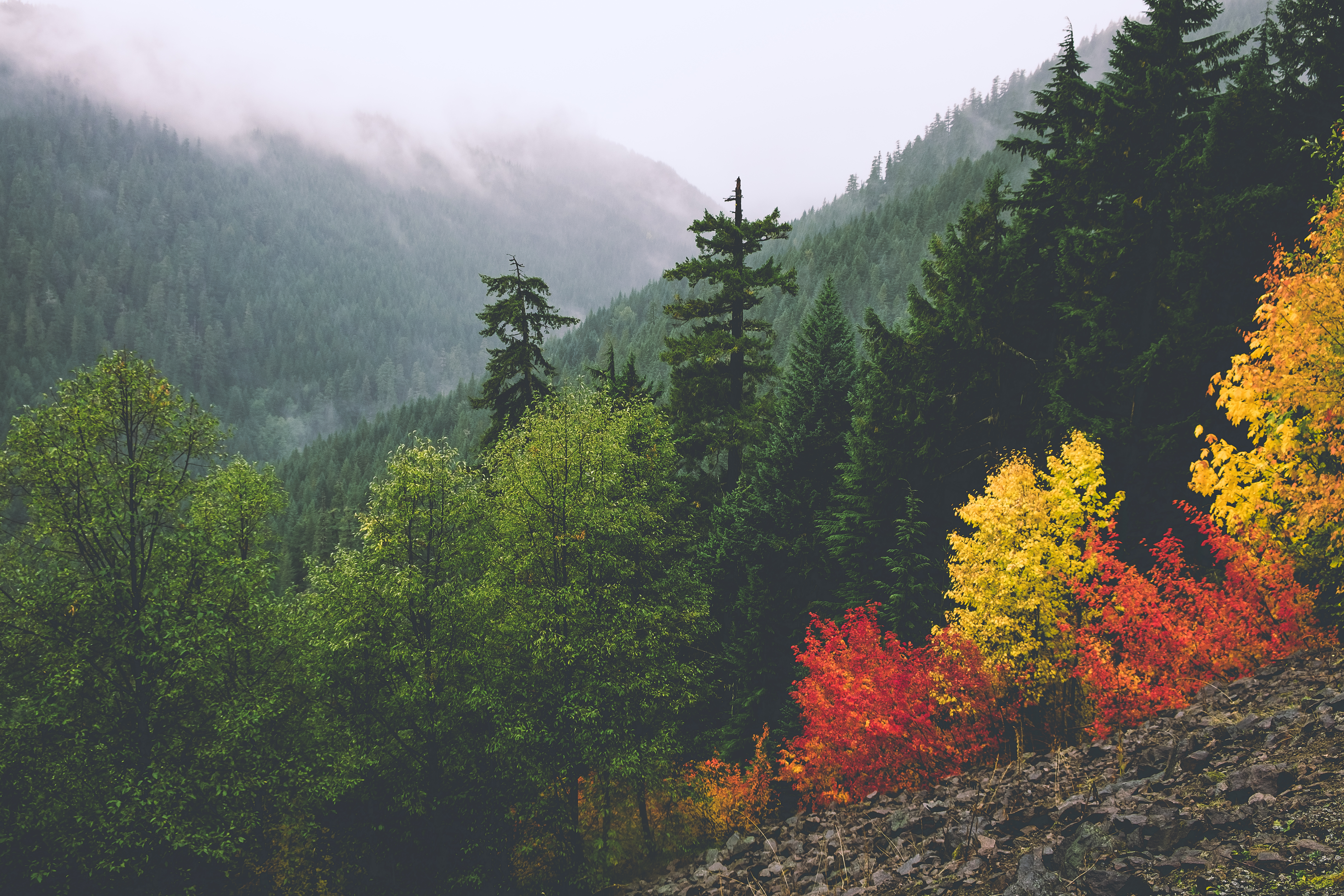
Related Photos:

Mt Rainier, Washington, October 2007
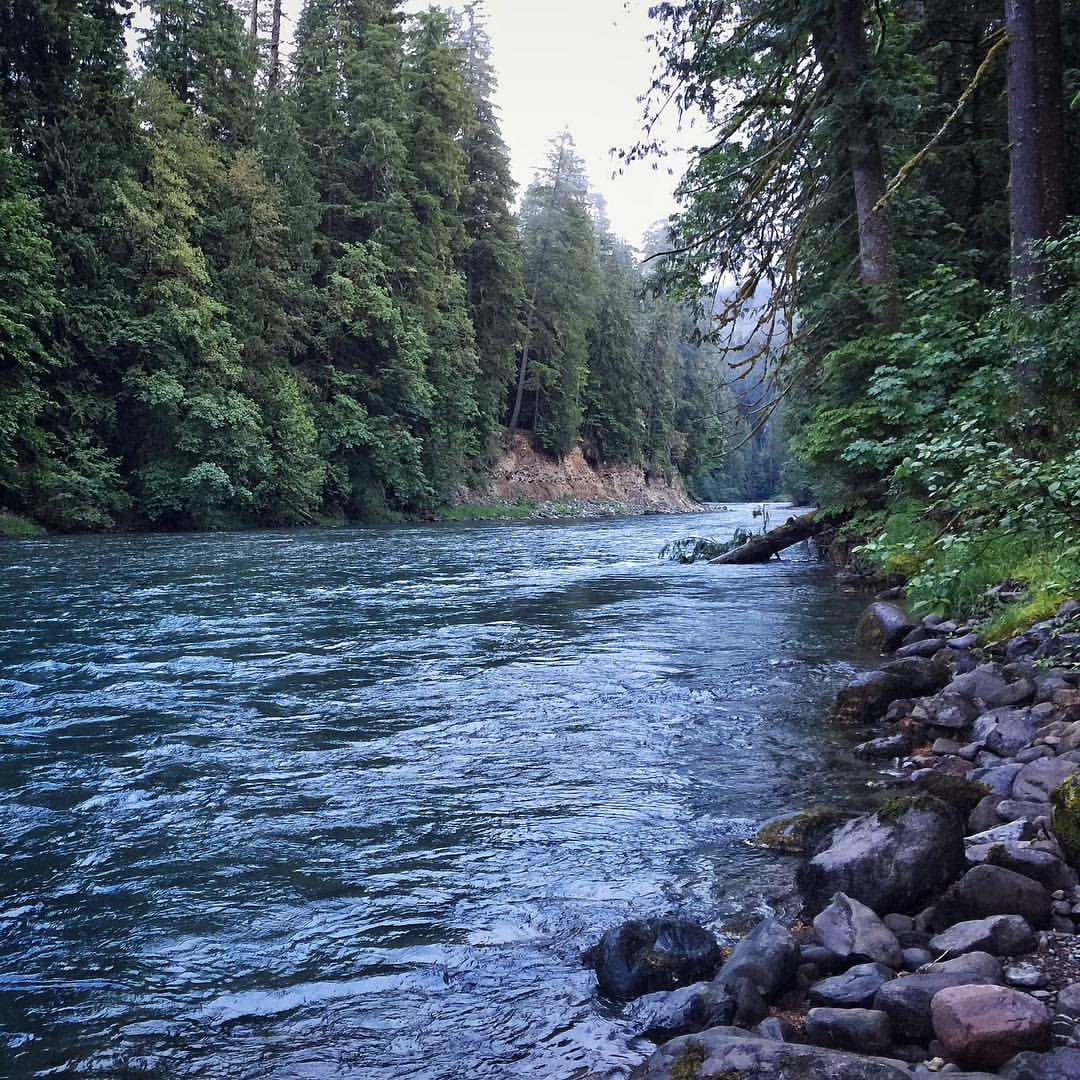
A view upstream of Iron Creek located in the Gifford Pinchot National Forest. #river #giffordpinchotnationalforest #wilderness #pnw
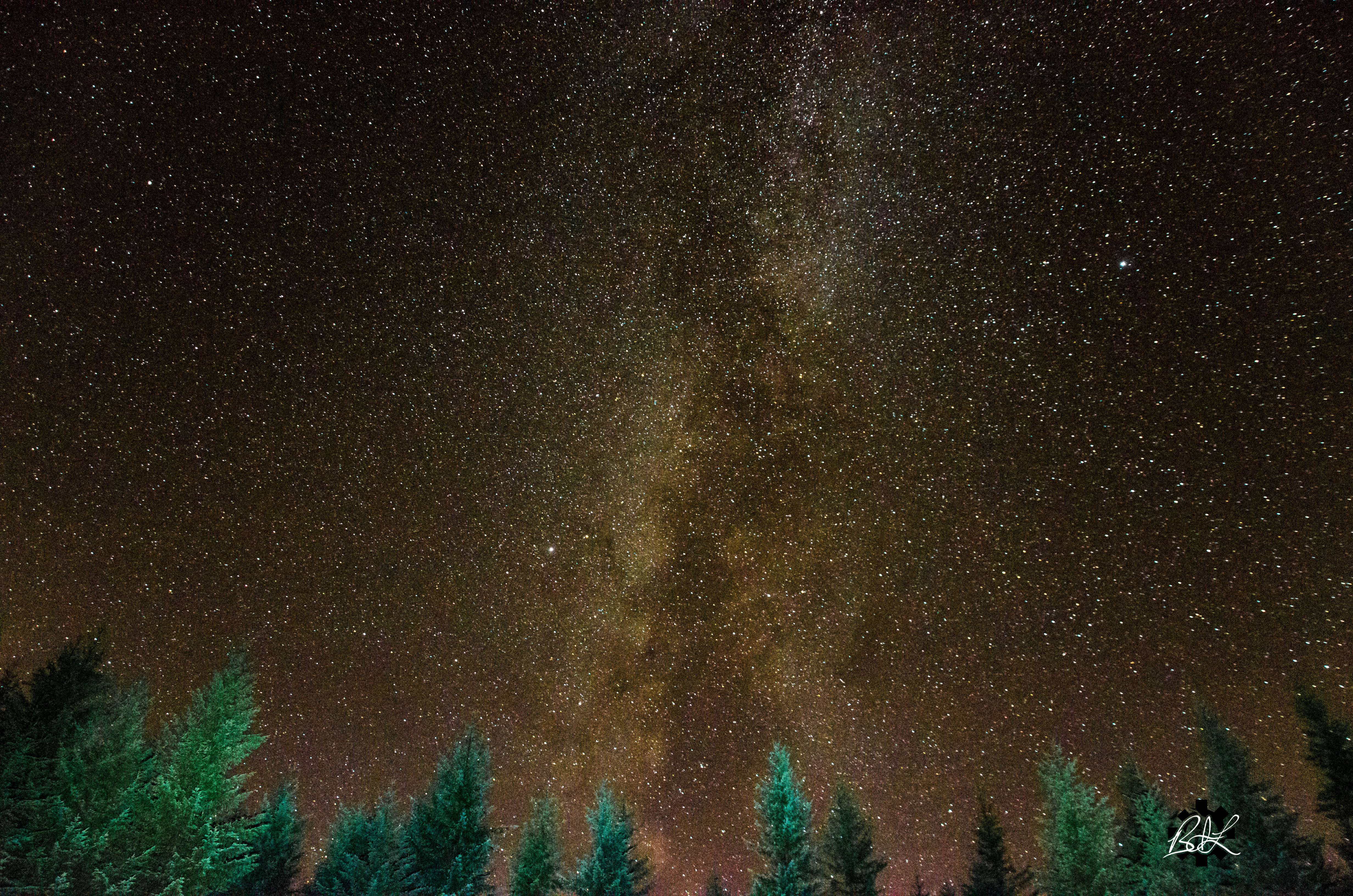
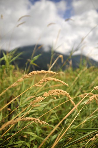
Campsite Evening View

Mount Adams, Burley Mountain Lookout, Washington, 2016

Mount Rainier, Burley Mountain Lookout, Washington, 2016
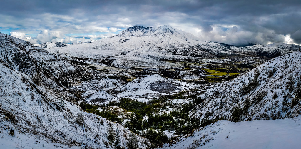
Mount St. Helens
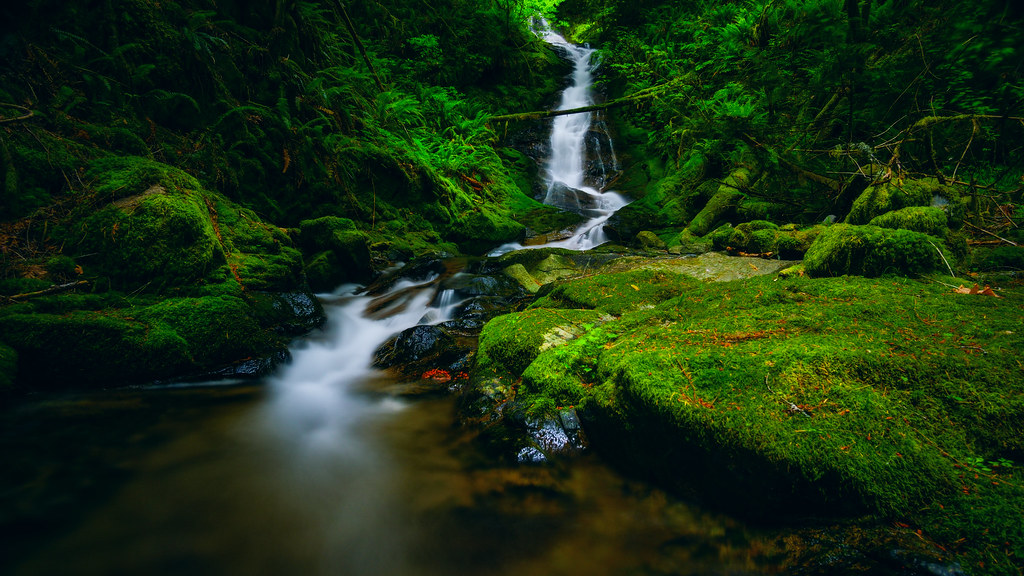
Hopkins Creek Falls I
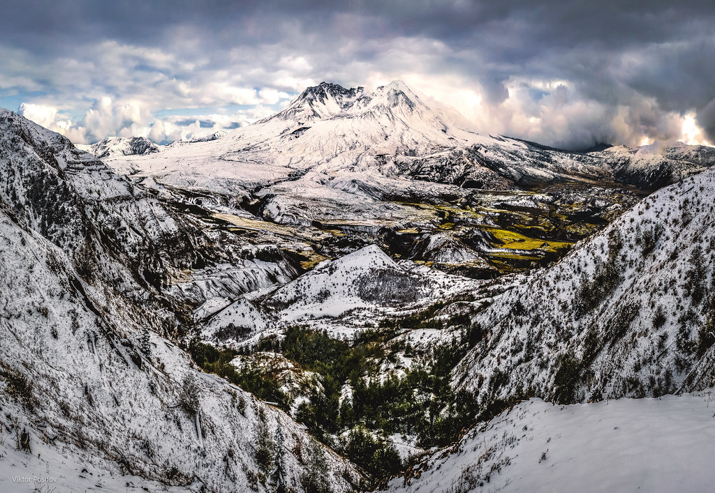
Mount St. Helens
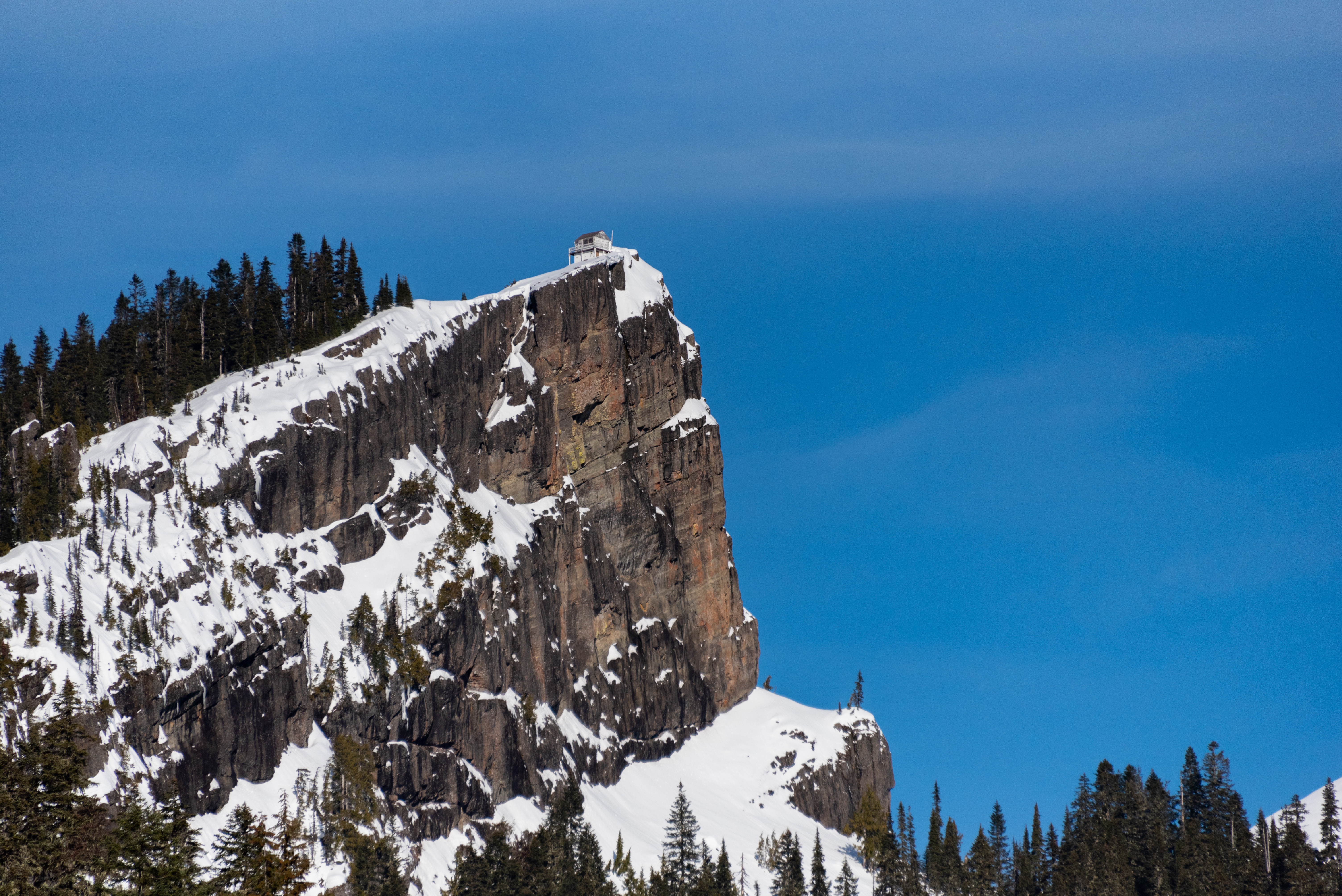
High Rock Lookout from Below
FS84 to Highrock Lookout
Mount St. Helens
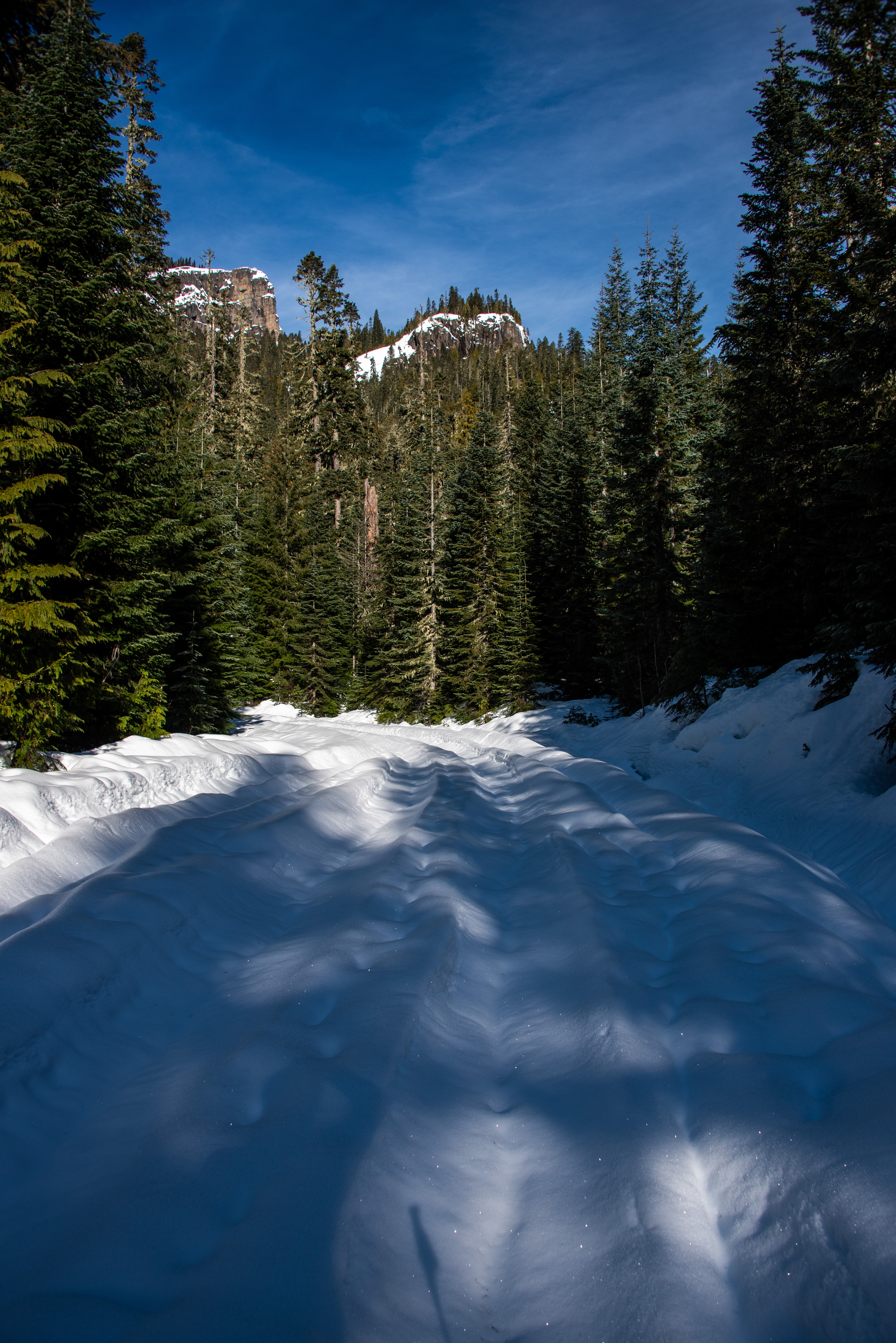
Along Forest Road 4720
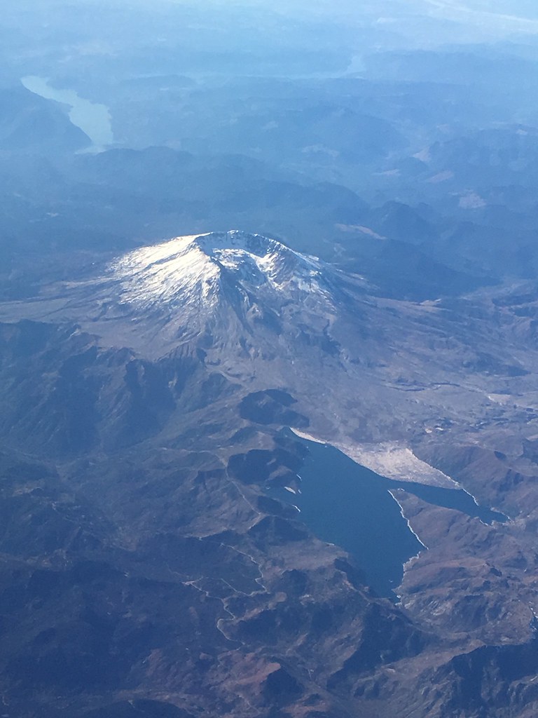
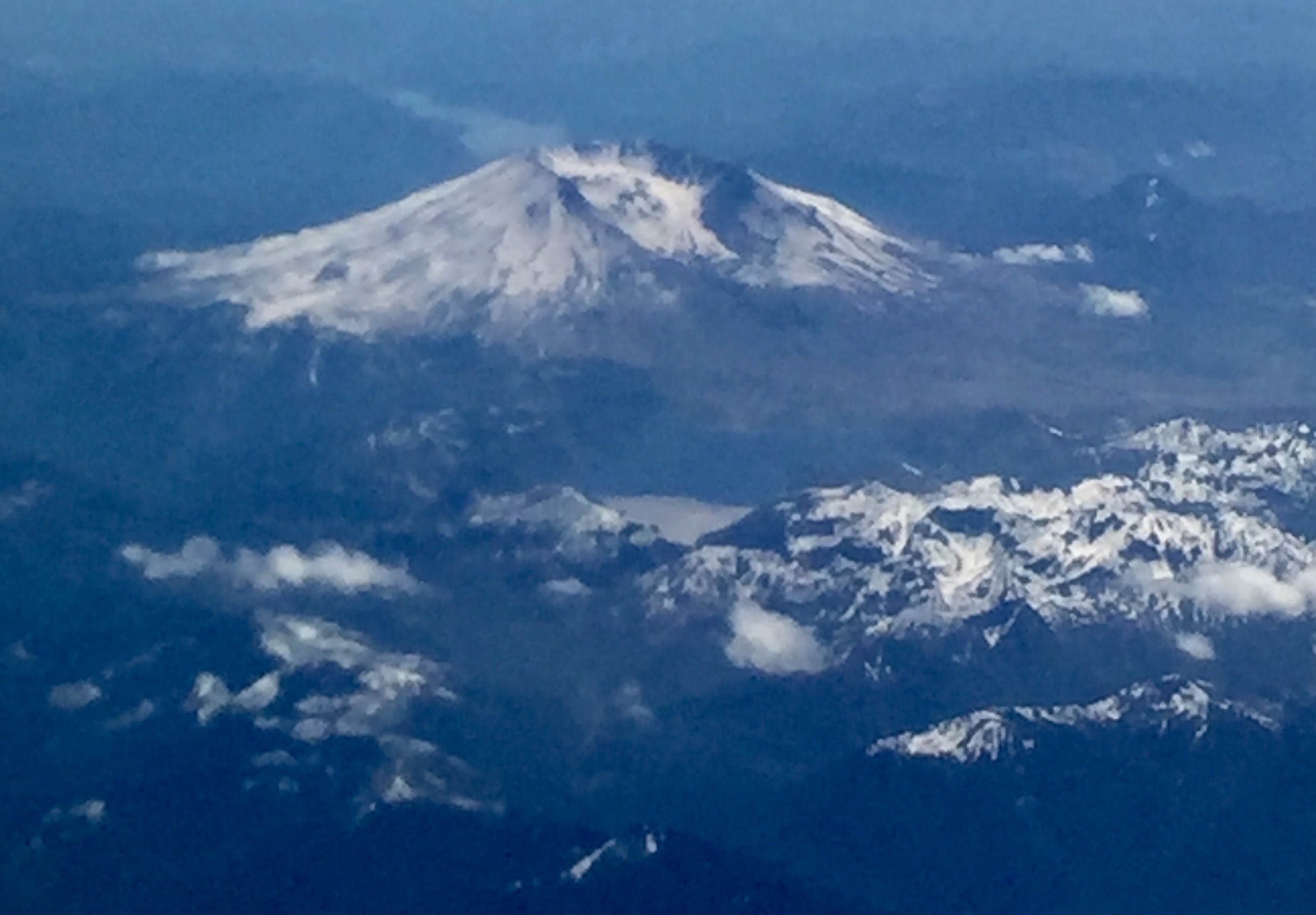
Mount St Helens from the air

Mount St. Helens

Clear Blue Water
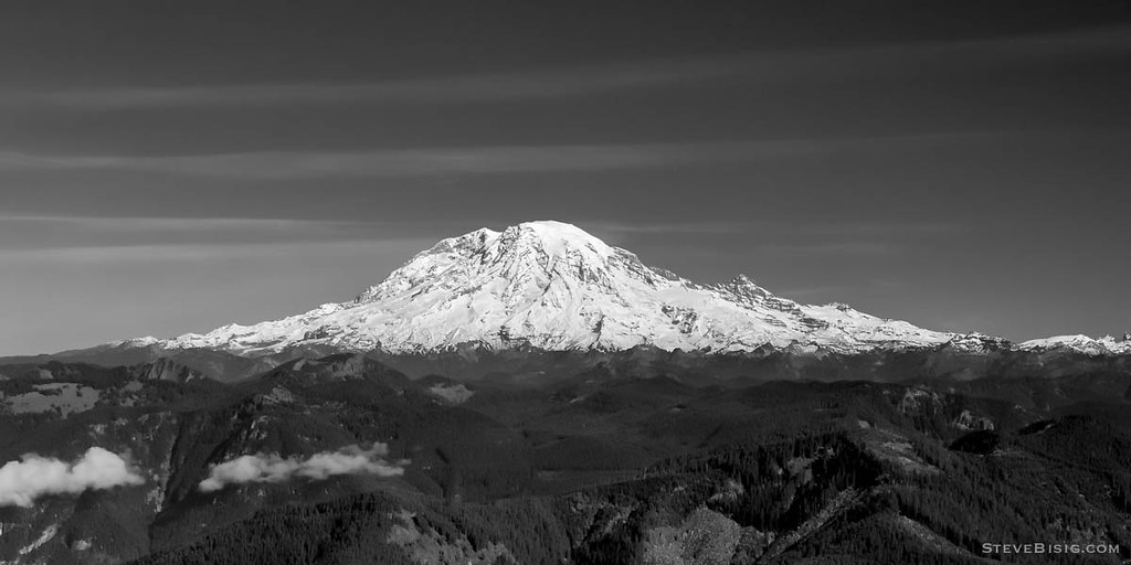
Mt Rainier, Washington, October 2007
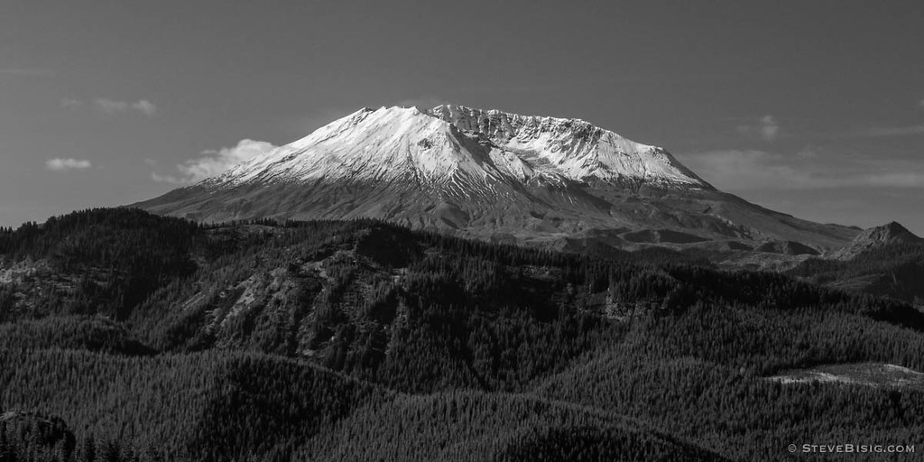
Mt St Helens, Washington, October 2007
Highway 12, Washington

Mt Adams Fall
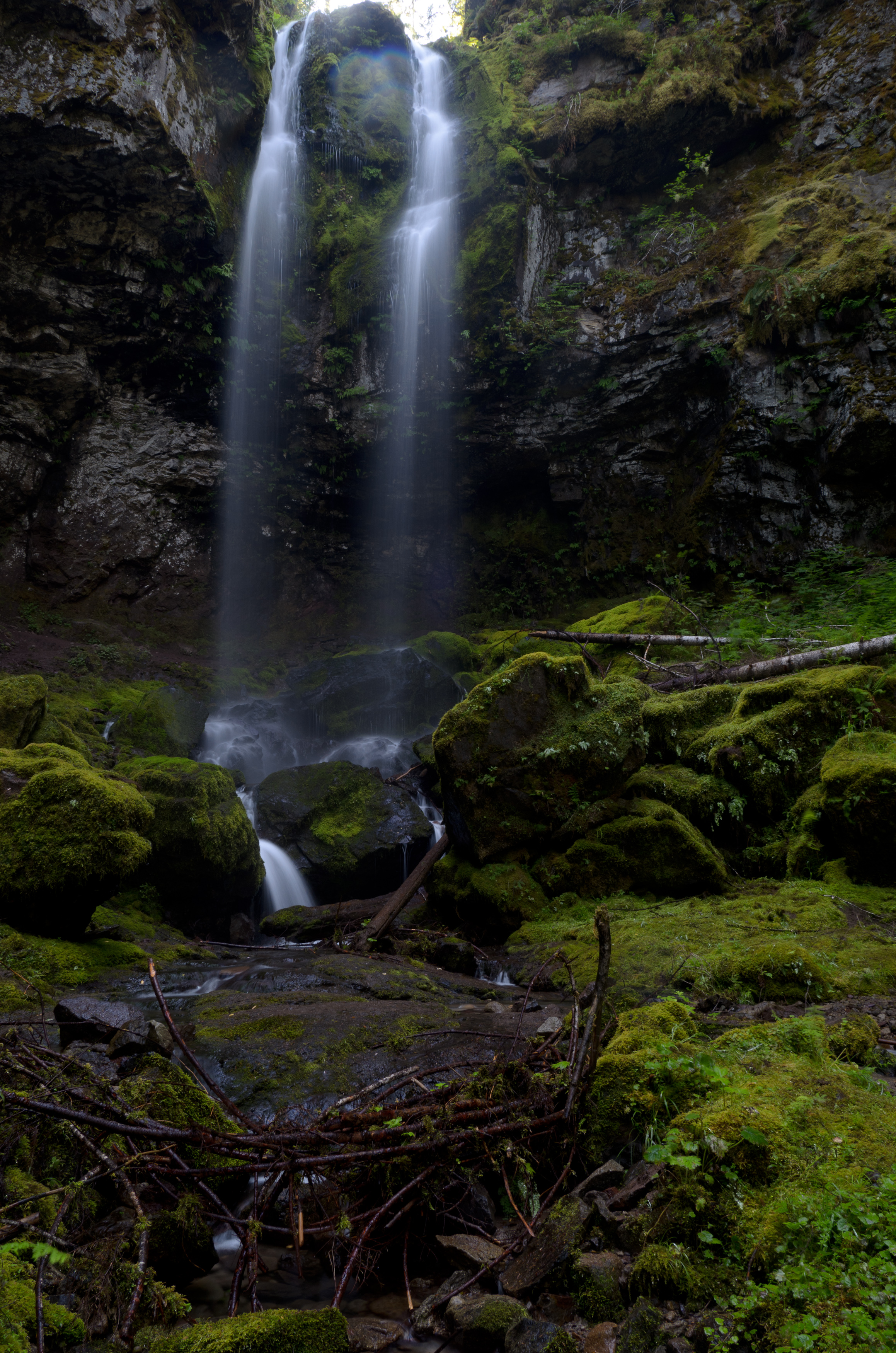
Covell Creek Falls

Gifford Pinchot National Forest

Tower Rock, Cispus River, WA
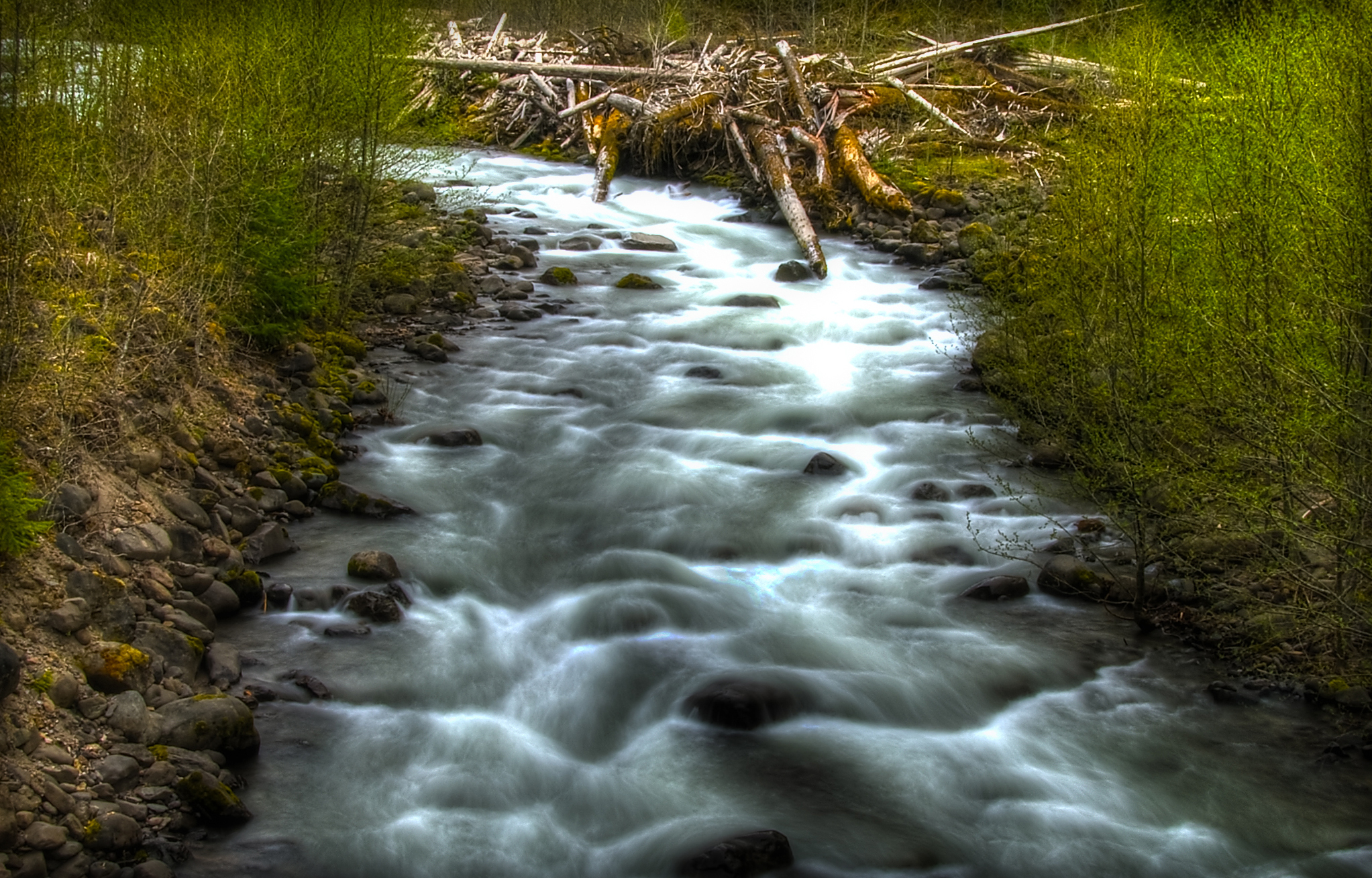
Iron Creek near Randle, WA
Topographic Map of Young Rd, Randle, WA, USA
Find elevation by address:

Places near Young Rd, Randle, WA, USA:
10205 Us-12
1096 Silverbrook Rd
1095 Silverbrook Rd
Boyd Road
U.s. 12
Randle
175 Wa-131
316 Wa-131
207 Silverbrook Rd
119 Coleman Hill Rd
112 Skinner Rd
143 Skinner Rd
1359 Silverbrook Rd
Tower Rock Campground
356 Savio Rd
9152 Us-12
9061 Us-12
131 Cropsey Dr
182 Cropsey Dr
292 Cropsey Dr
Recent Searches:
- Elevation of Elwyn Dr, Roanoke Rapids, NC, USA
- Elevation of Congressional Dr, Stevensville, MD, USA
- Elevation of Bellview Rd, McLean, VA, USA
- Elevation of Stage Island Rd, Chatham, MA, USA
- Elevation of Shibuya Scramble Crossing, 21 Udagawacho, Shibuya City, Tokyo -, Japan
- Elevation of Jadagoniai, Kaunas District Municipality, Lithuania
- Elevation of Pagonija rock, Kranto 7-oji g. 8"N, Kaunas, Lithuania
- Elevation of Co Rd 87, Jamestown, CO, USA
- Elevation of Tenjo, Cundinamarca, Colombia
- Elevation of Côte-des-Neiges, Montreal, QC H4A 3J6, Canada