Elevation of US-12, Randle, WA, USA
Location: United States > Washington > Lewis County > Randle >
Longitude: -121.91136
Latitude: 46.5355644
Elevation: 281m / 922feet
Barometric Pressure: 98KPa
Elevation Map:
Satellite Map:
Related Photos:

Mount Adams, Burley Mountain Lookout, Washington, 2016

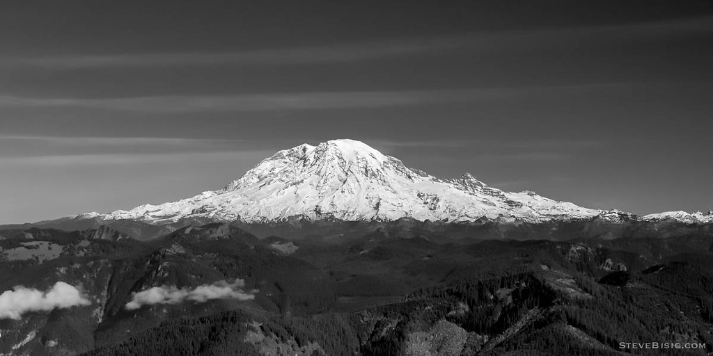
Mount Rainier, Burley Mountain Lookout, Washington, 2016

Mt St Helens, Washington, October 2007

Mt Rainier, Washington, October 2007
Mt Rainier, Washington, October 2007
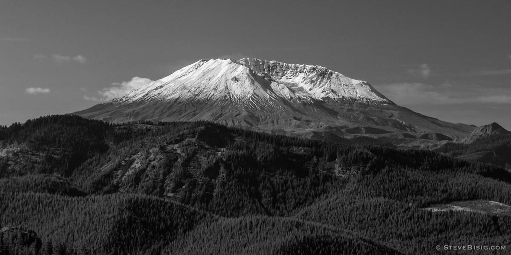
Mt St Helens, Washington, October 2007

Another view of my new dress
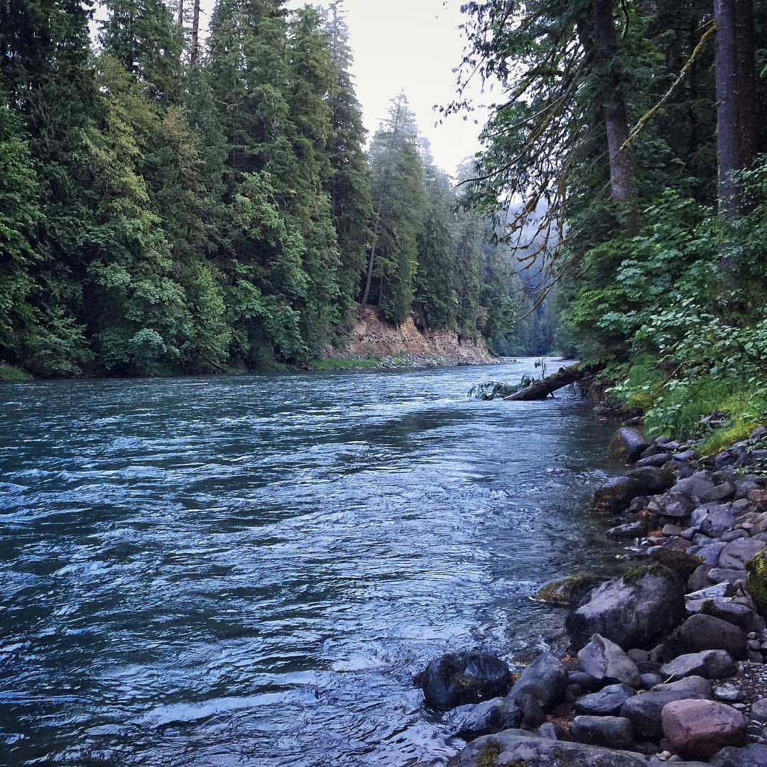
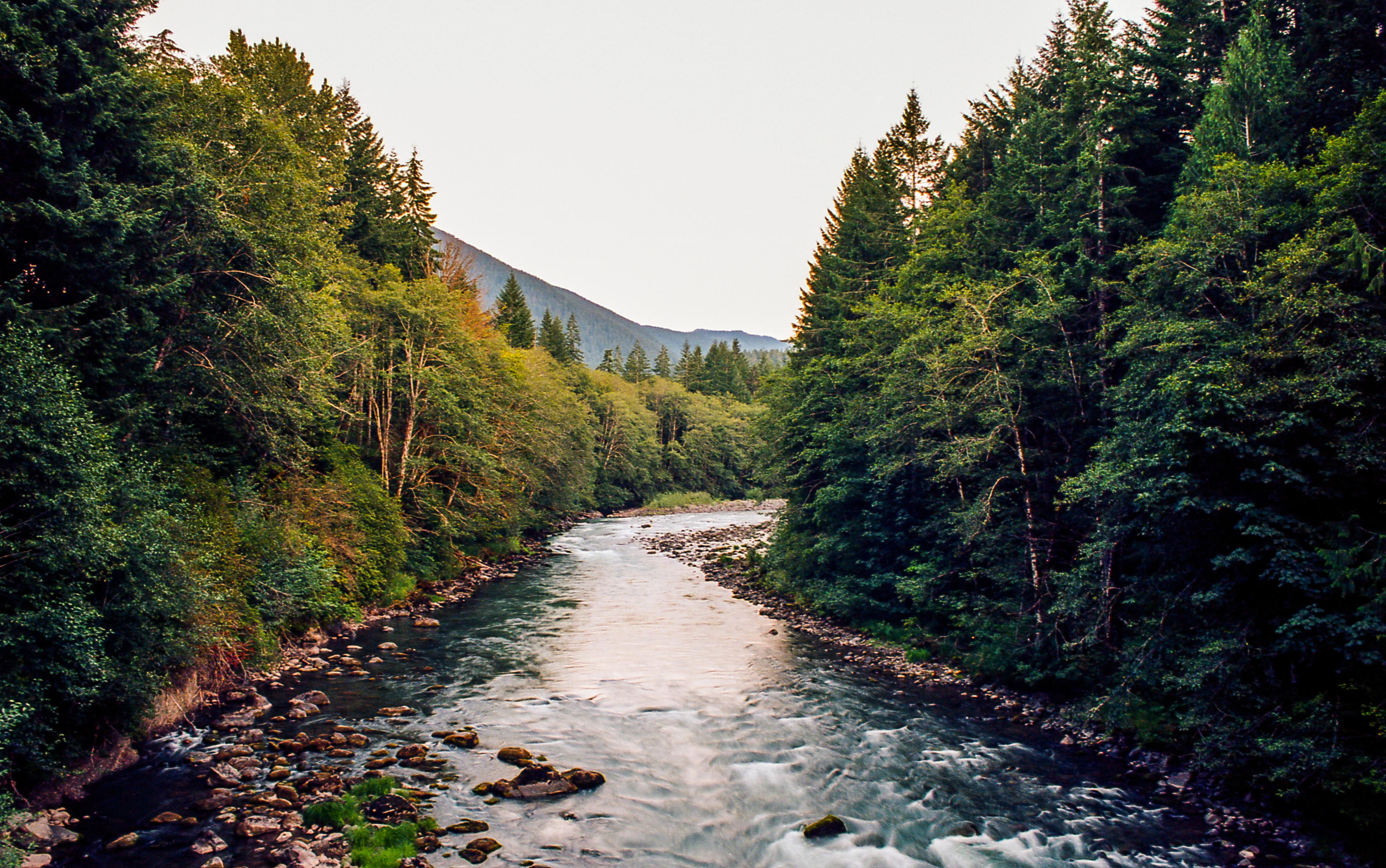
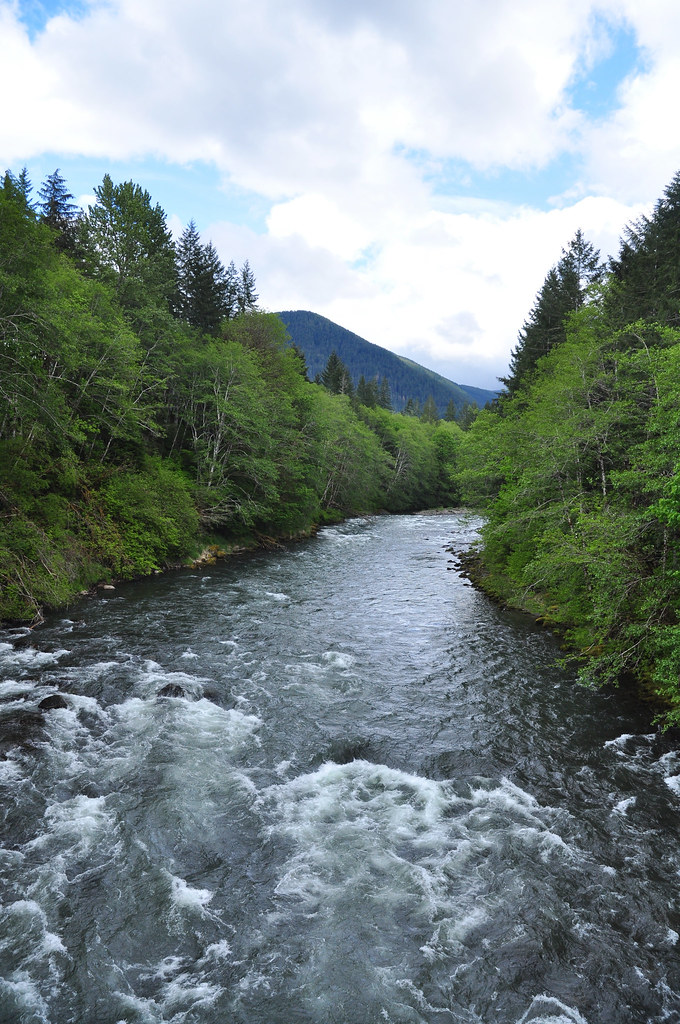
A view upstream of Iron Creek located in the Gifford Pinchot National Forest. #river #giffordpinchotnationalforest #wilderness #pnw

Morning View from our tent

Life's Motions
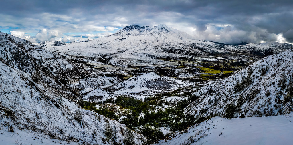
Mount St. Helens
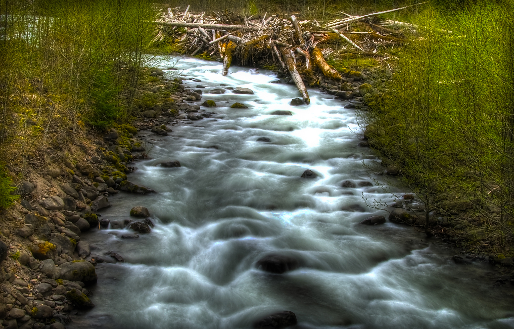
Cispus River at Forest Road 25

Clear Blue Water

Mt Adams Fall

Gifford Pinchot National Forest
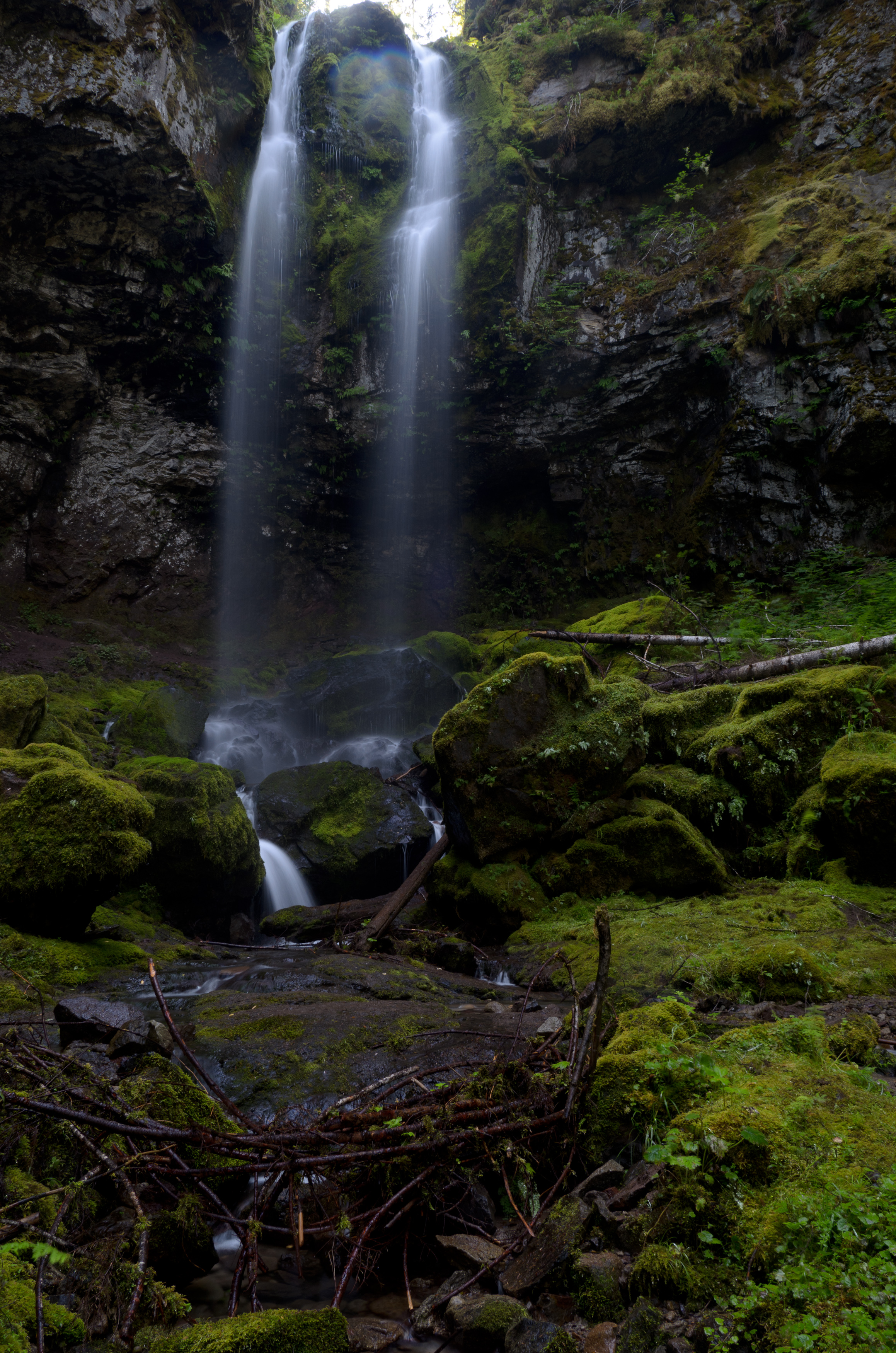
Covell Creek Falls
Sweetness and Solitude

Iron Creek Campground

Spring Green

Mt Ranier; Flying out on Alaska; Sea-Tac Airport; Seattle WA; September 27 2015

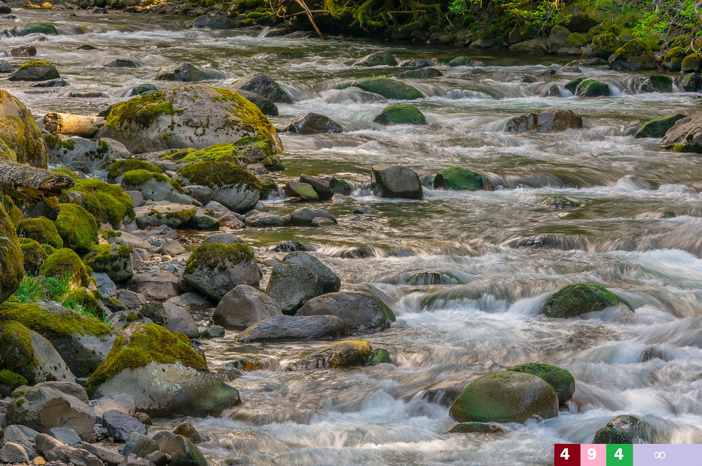
Tower Rock, Cispus River, WA
Iron Creek near Randle, WA

Gifford Pinchot National Forest

Gifford Pinchot National Forest
Iron Creek

Camp on the hill
Topographic Map of US-12, Randle, WA, USA
Find elevation by address:

Places near US-12, Randle, WA, USA:
142 Young Rd
1096 Silverbrook Rd
1095 Silverbrook Rd
Boyd Road
U.s. 12
175 Wa-131
Randle
316 Wa-131
207 Silverbrook Rd
119 Coleman Hill Rd
112 Skinner Rd
143 Skinner Rd
1359 Silverbrook Rd
Tower Rock Campground
356 Savio Rd
9152 Us-12
9061 Us-12
131 Cropsey Dr
182 Cropsey Dr
292 Cropsey Dr
Recent Searches:
- Elevation of Corso Fratelli Cairoli, 35, Macerata MC, Italy
- Elevation of Tallevast Rd, Sarasota, FL, USA
- Elevation of 4th St E, Sonoma, CA, USA
- Elevation of Black Hollow Rd, Pennsdale, PA, USA
- Elevation of Oakland Ave, Williamsport, PA, USA
- Elevation of Pedrógão Grande, Portugal
- Elevation of Klee Dr, Martinsburg, WV, USA
- Elevation of Via Roma, Pieranica CR, Italy
- Elevation of Tavkvetili Mountain, Georgia
- Elevation of Hartfords Bluff Cir, Mt Pleasant, SC, USA