Elevation of Tower Rock Campground, Randle, WA, USA
Location: United States > Washington > Lewis County > Randle >
Longitude: -121.86703
Latitude: 46.445668
Elevation: 376m / 1234feet
Barometric Pressure: 97KPa
Elevation Map:
Satellite Map:
Related Photos:
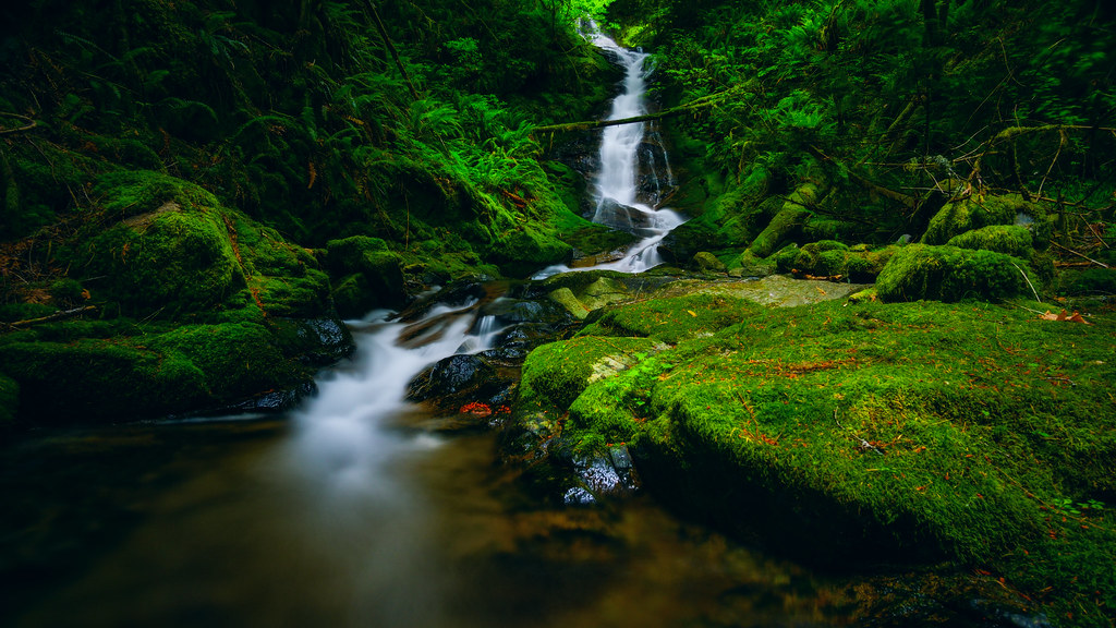
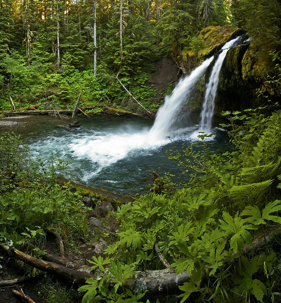
Iron Creek Falls

Mt Rainier, Washington, October 2007
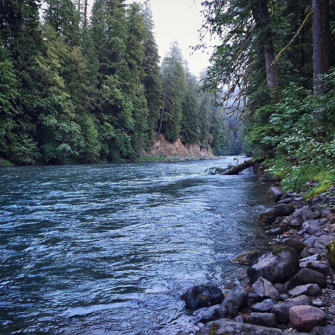
A view upstream of Iron Creek located in the Gifford Pinchot National Forest. #river #giffordpinchotnationalforest #wilderness #pnw

Morning View from our tent

Mount Adams, Burley Mountain Lookout, Washington, 2016

Mount Rainier, Burley Mountain Lookout, Washington, 2016
Iron Creek Falls
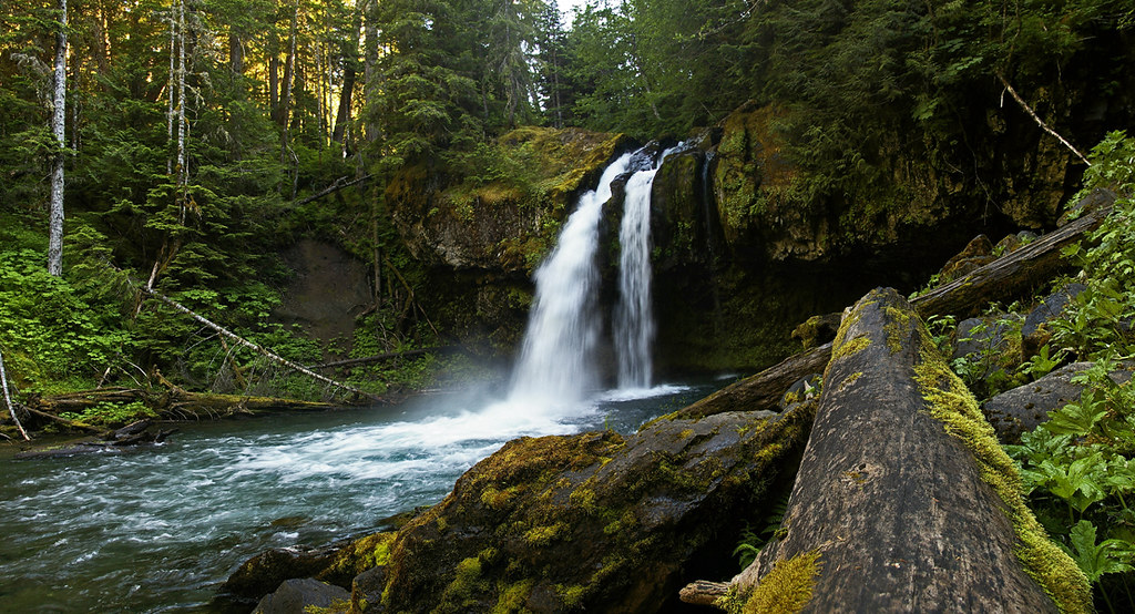
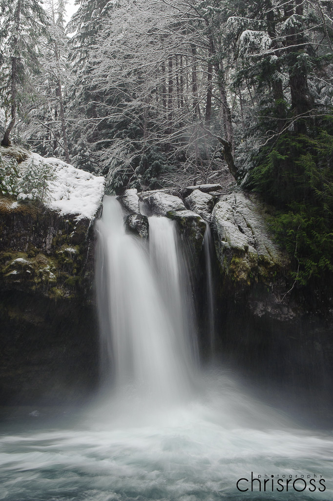
Iron Creek Falls, WA on the back side of Mt St Helen.
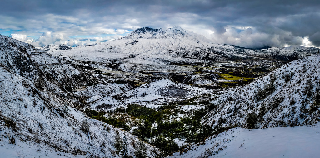
Mount St. Helens
Hopkins Creek Falls I
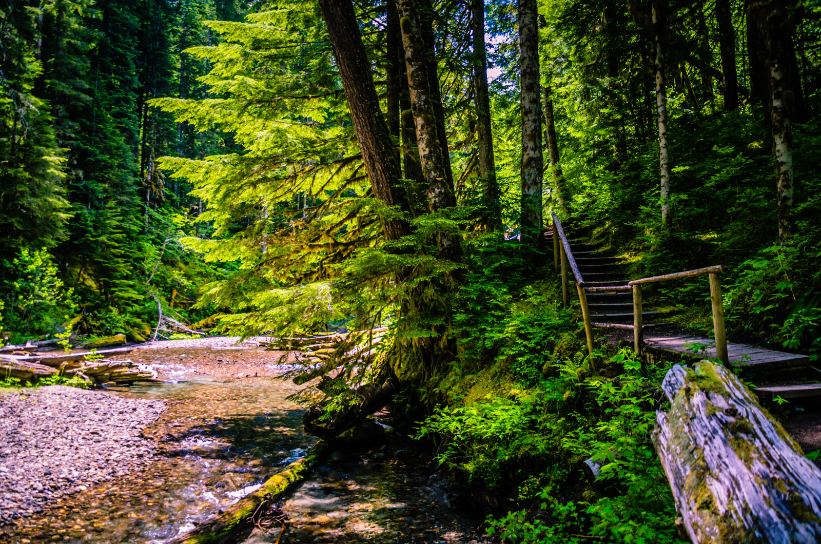
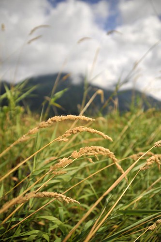
Intense Greens
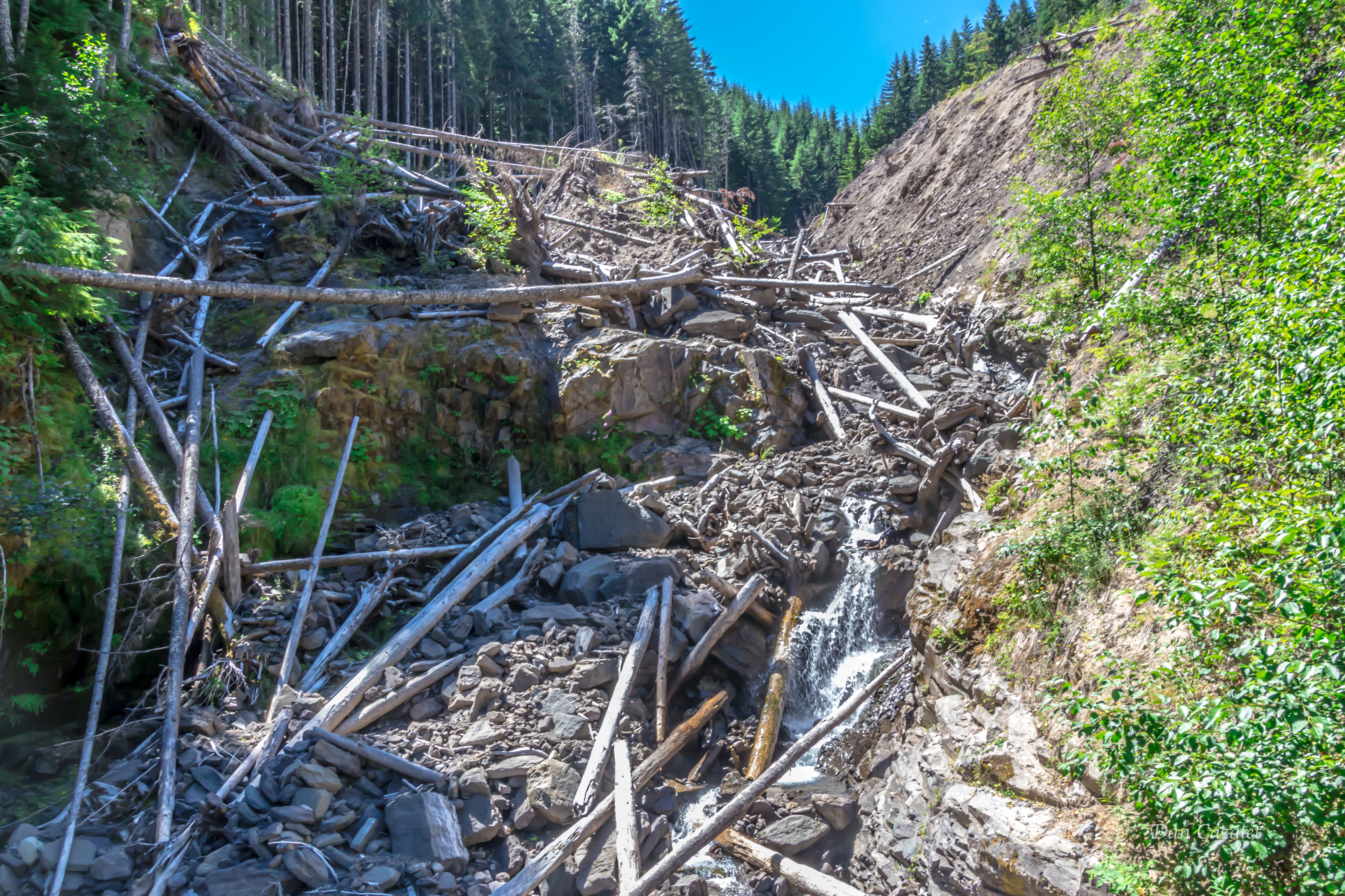
Behnam Creek Slide
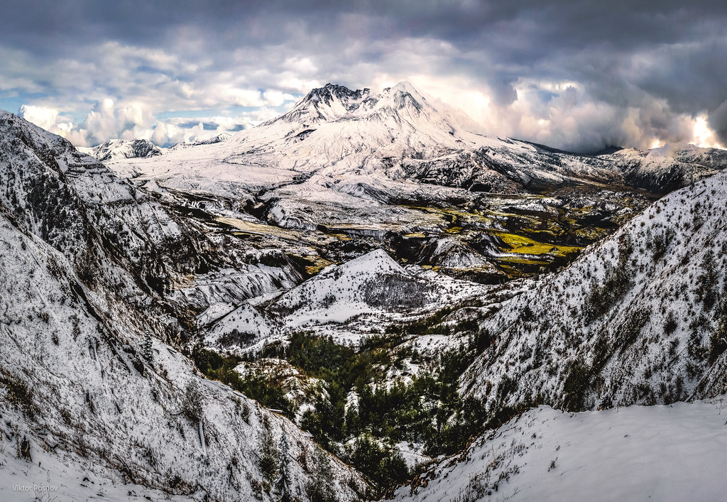
Mount St. Helens
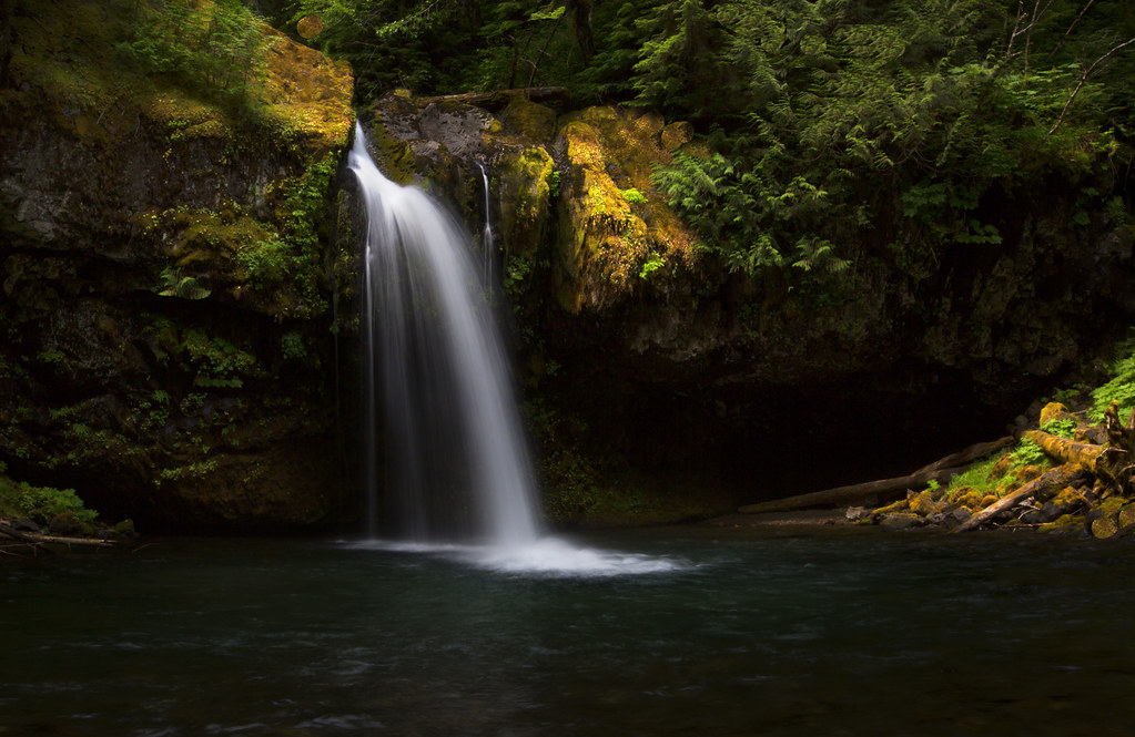
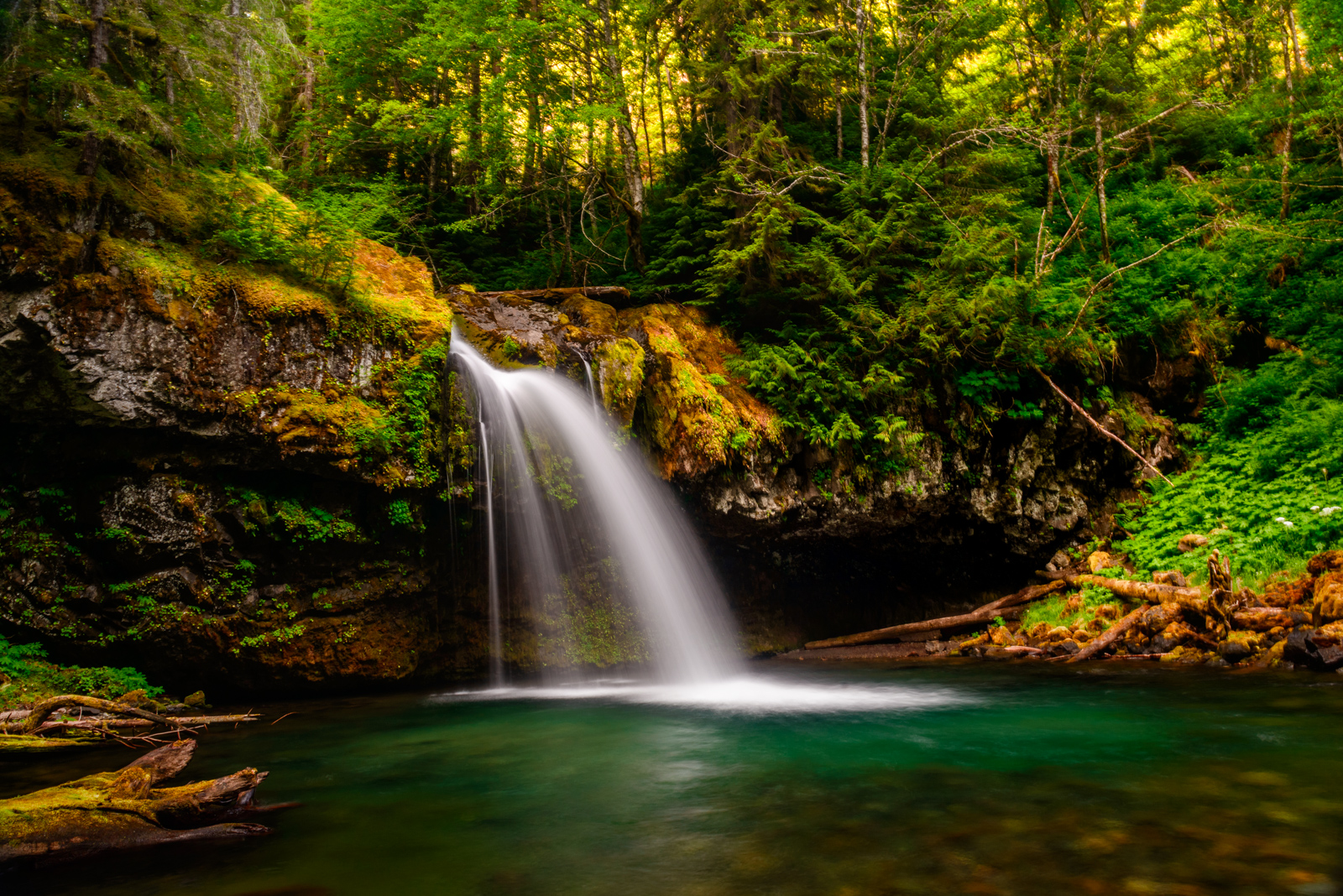
Iron Creek Falls, Skamania county, WA.
Winter Wonderland

Covell Creek Falls
Iron Creek Falls, WA on the back side of Mt St Helen.
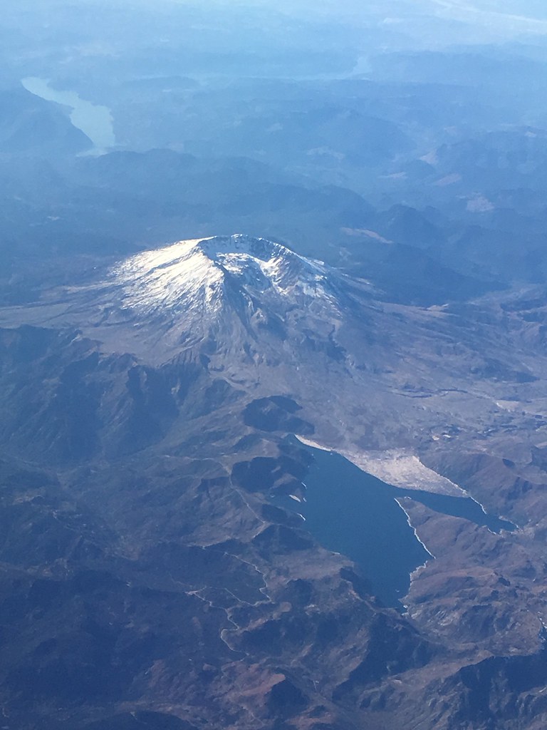
Mount St Helens from the air
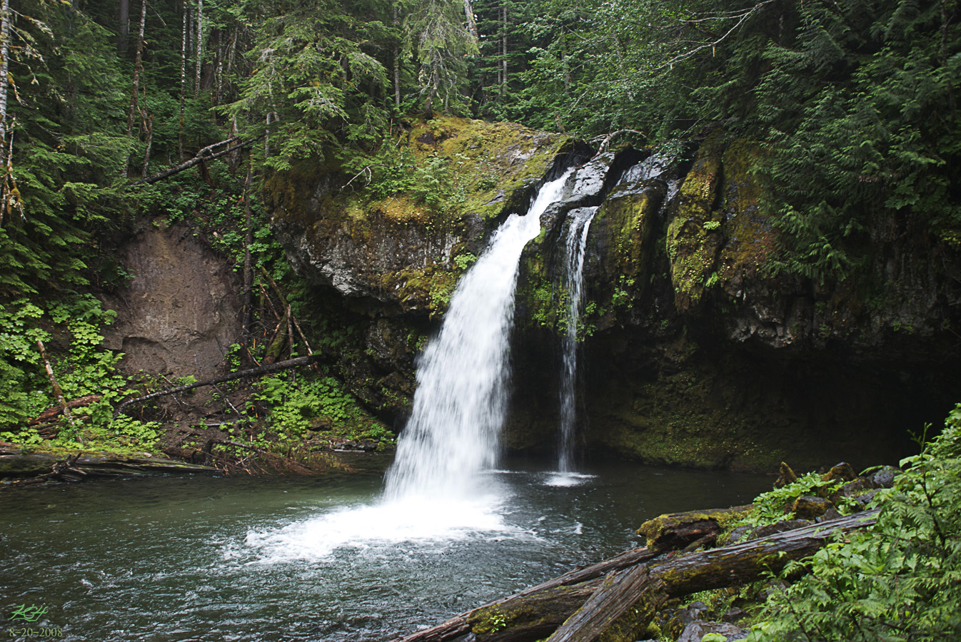
Iron Creek Falls

Mount St. Helens

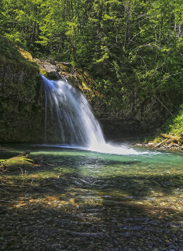
Iron Creek Falls

Clear Blue Water
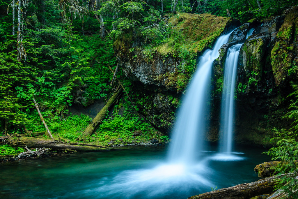
Iron Creek Falls? Anyone?
Highway 12, Washington
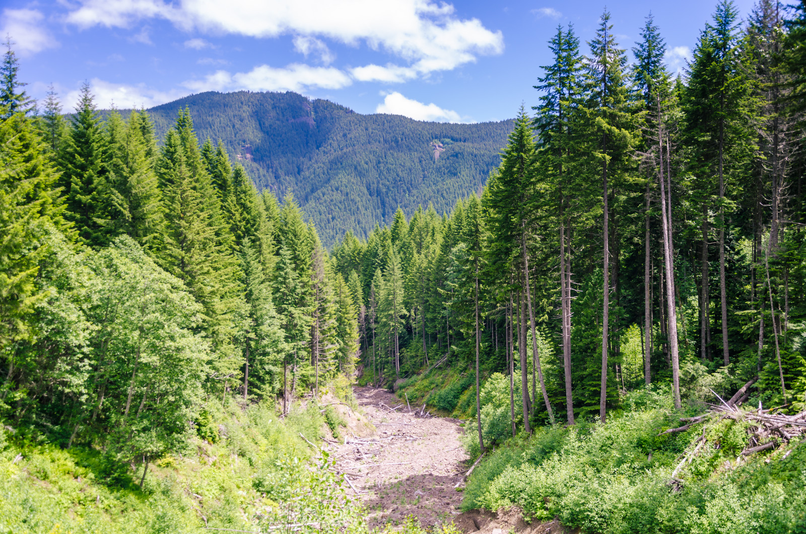
Land Slide
Topographic Map of Tower Rock Campground, Randle, WA, USA
Find elevation by address:

Places near Tower Rock Campground, Randle, WA, USA:
1096 Silverbrook Rd
1359 Silverbrook Rd
1095 Silverbrook Rd
142 Young Rd
10205 Us-12
112 Skinner Rd
143 Skinner Rd
316 Wa-131
175 Wa-131
Boyd Road
U.s. 12
Randle
207 Silverbrook Rd
119 Coleman Hill Rd
226 Stover Rd
White Pass
356 Savio Rd
9152 Us-12
131 Cropsey Dr
182 Cropsey Dr
Recent Searches:
- Elevation of Falling Spring Rd, Clyde, NC, USA
- Elevation of Kingsfield St, Castle Rock, CO, USA
- Elevation of AMELIA CT HSE, VA, USA
- Elevation of Abbey Dr, Virginia Beach, VA, USA
- Elevation of Brooks Lp, Spearfish, SD, USA
- Elevation of Panther Dr, Maggie Valley, NC, USA
- Elevation of Jais St - Wadi Shehah - Ras al Khaimah - United Arab Emirates
- Elevation of Shawnee Avenue, Shawnee Ave, Easton, PA, USA
- Elevation of Scenic Shore Dr, Kingwood Area, TX, USA
- Elevation of W Prive Cir, Delray Beach, FL, USA